Exciting cycling routes and access to legendary climbs in Germany.
Cycling routes from Denklingen
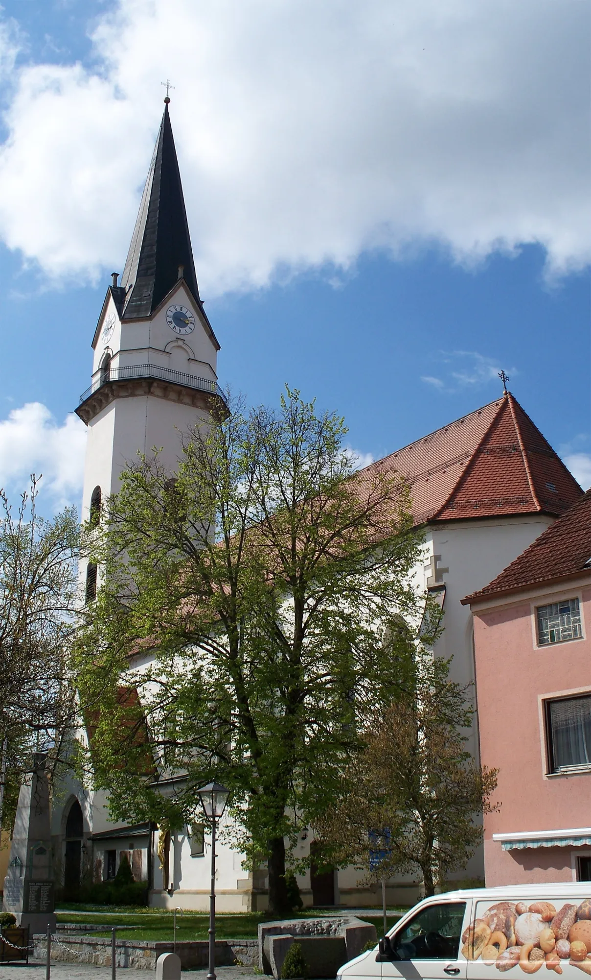
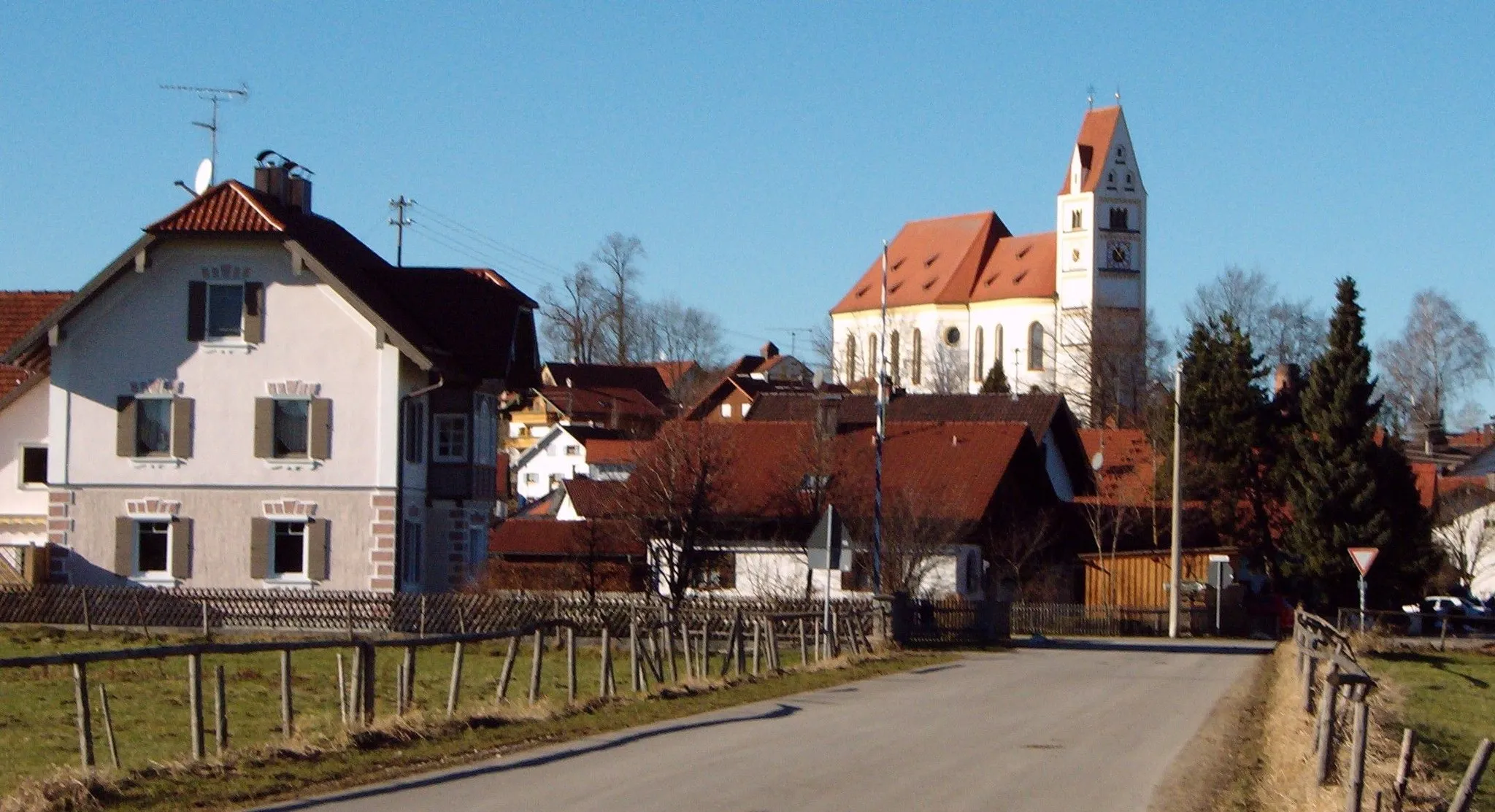
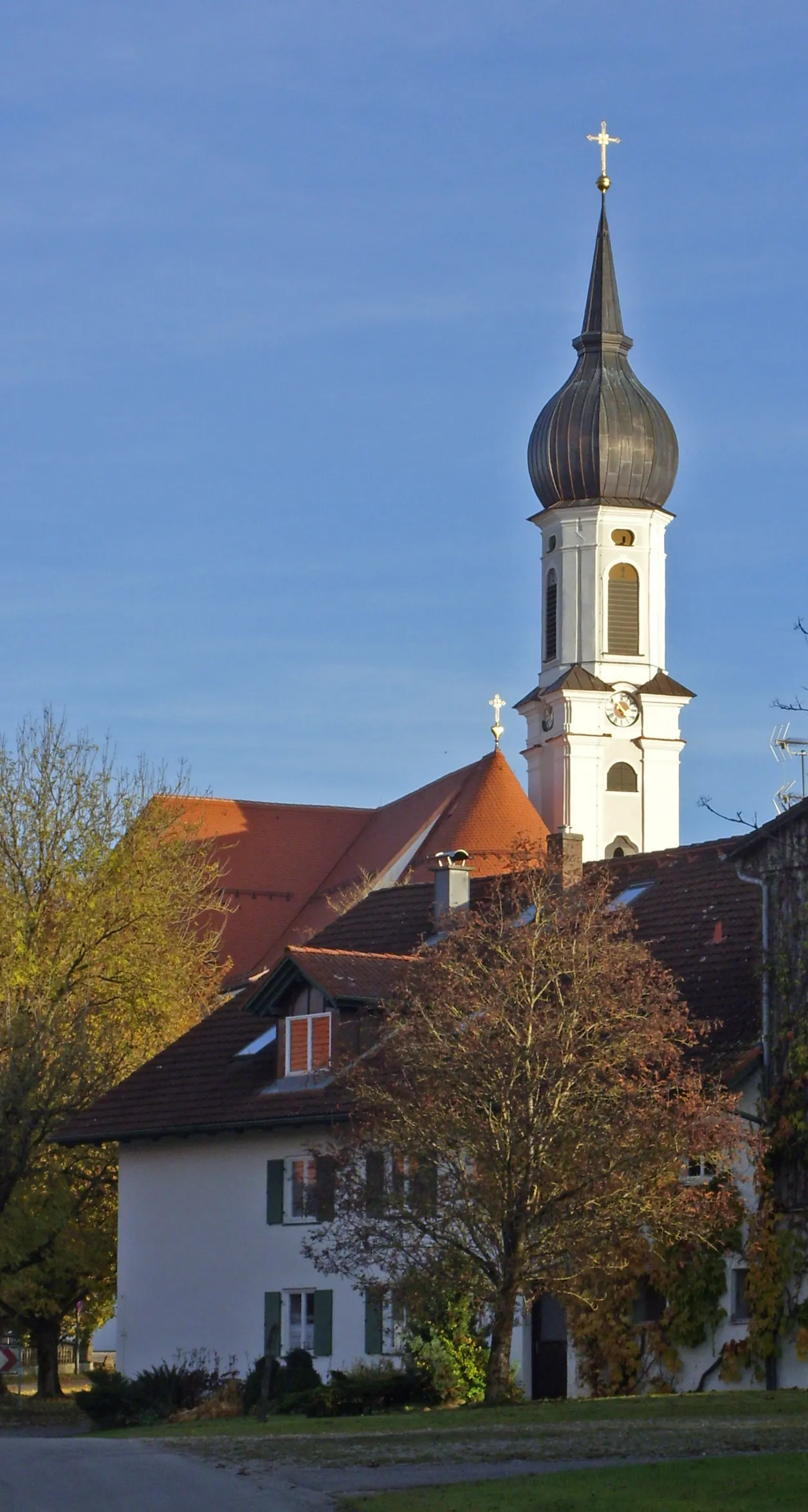
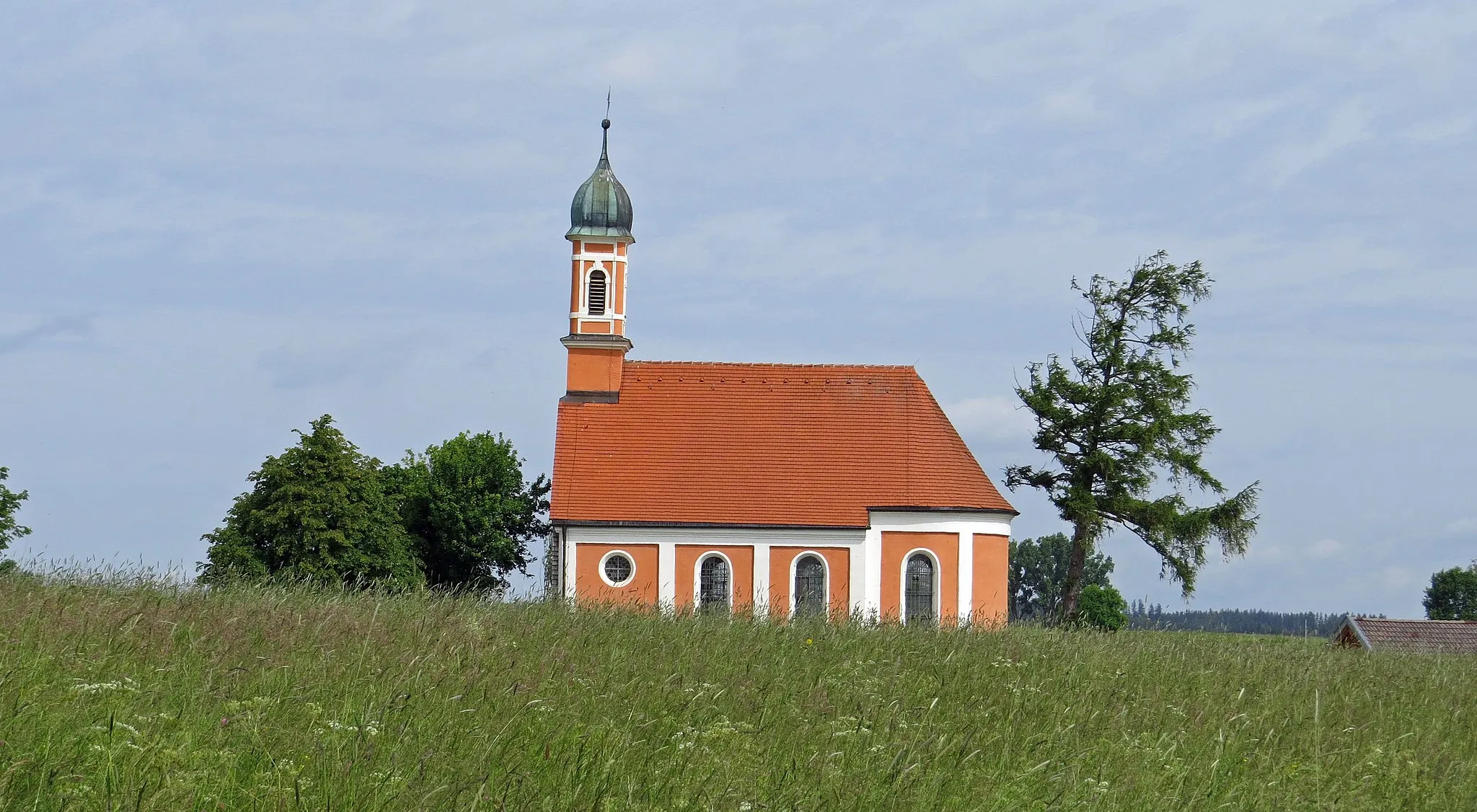
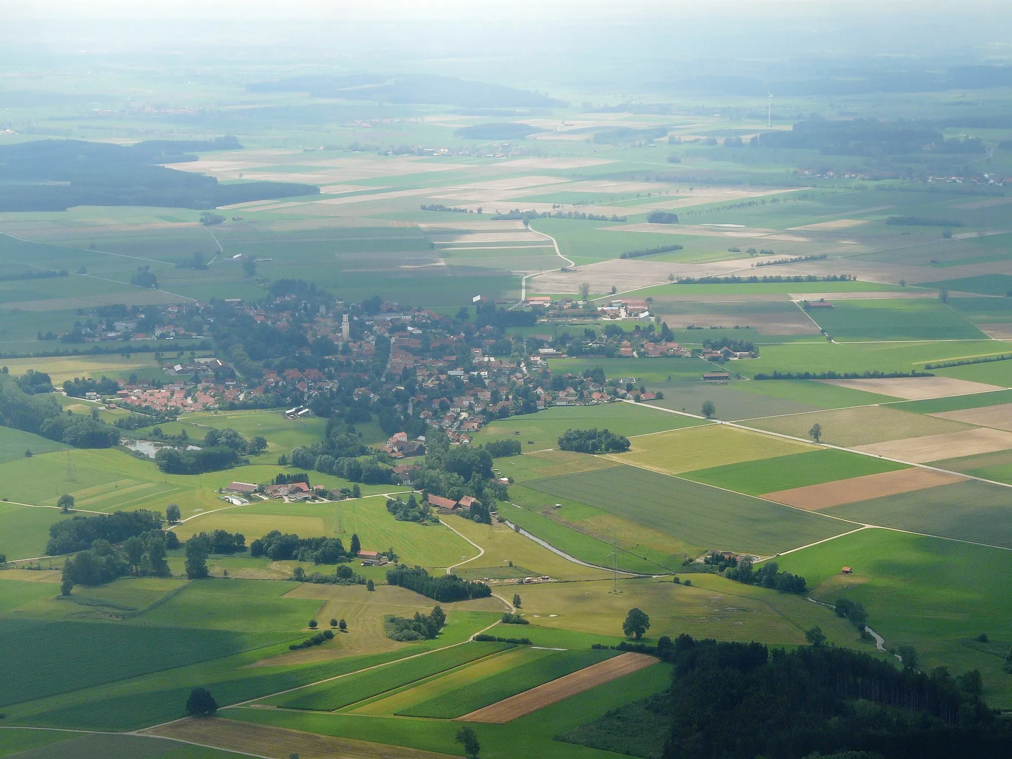
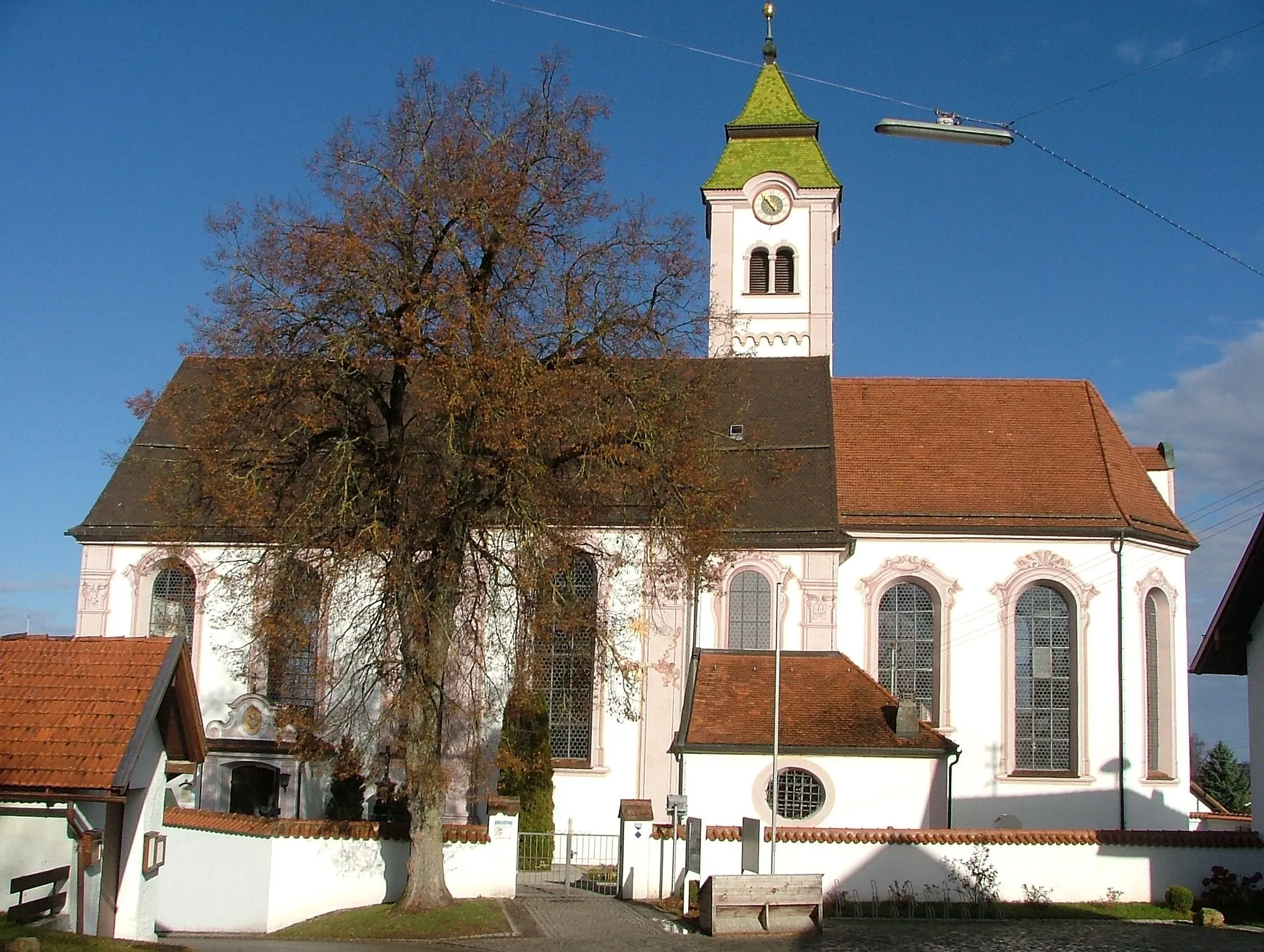
Denklingen, situated in Oberbayern, Germany, offers fantastic opportunities for road and gravel cyclists. The region's diverse terrain, including rolling hills and scenic forests, provides cyclists with a range of exciting routes to explore. Denklingen is known for its well-maintained cycling infrastructure and low traffic volume, ensuring a safe and enjoyable riding experience. Cyclists in Denklingen have easy access to nearby popular climbs, such as the legendary Ammer Mountains. With its excellent cycling infrastructure and access to iconic climbs, Denklingen earns a rank of 5.
Denklingen Road Route
Experience the scenic road route near Denklingen
Enjoy a beautiful road cycling experience near Denklingen with stunning views along the way. This route covers a distance of 47 kilometers and offers a total ascent of 517 meters. The terrain is moderate, making it suitable for amateur cyclists with a moderate level of fitness.
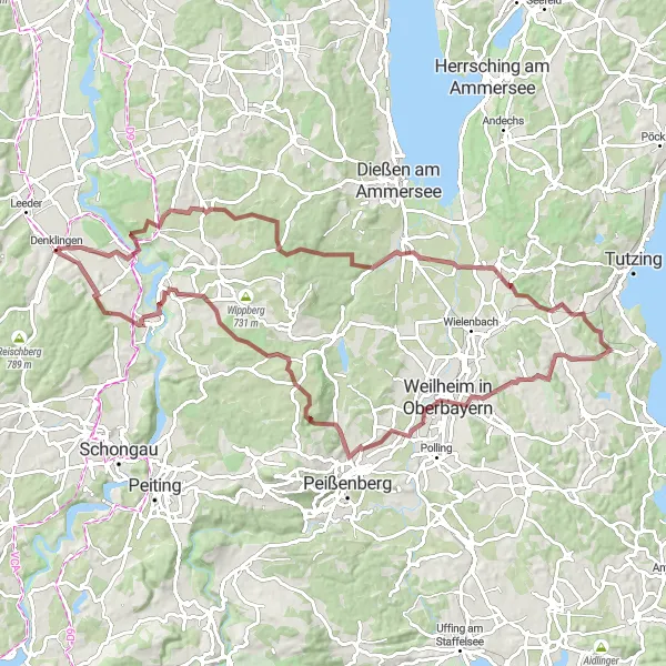
Embark on a scenic road ride near Denklingen and enjoy breathtaking panoramic views
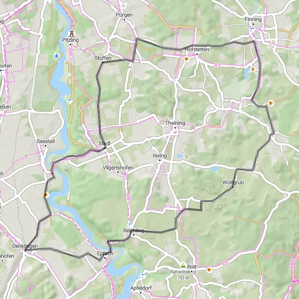
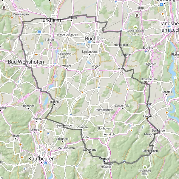
Experience the natural beauty of the Denklingen region on this scenic road ride. Covering a distance of 59 kilometers with a total ascent of 498 meters, this moderately challenging route guarantees stunning panoramic views and beautiful countryside landscapes. Highlights along the way include Reischberg, Schwabsoien, Burgberg, Burggen, Guckenbichel, Bidingen, Aussichtspunkt Oberzell, Aufkirch, and Leeder. Cyclists will be impressed by the diverse scenery and captivating vistas throughout the entire journey. This road ride provides the perfect balance between picturesque landscapes and challenging terrain, making it a memorable cycling experience.
Discover the beauty of Denklingen on this gravel adventure
Embark on a thrilling gravel adventure near Denklingen, covering a distance of 72 kilometers and featuring an ascent of 693 meters. This route offers a mix of challenging sections and scenic landscapes, perfect for gravel enthusiasts seeking a memorable experience.
Quaint Road Loop from Denklingen
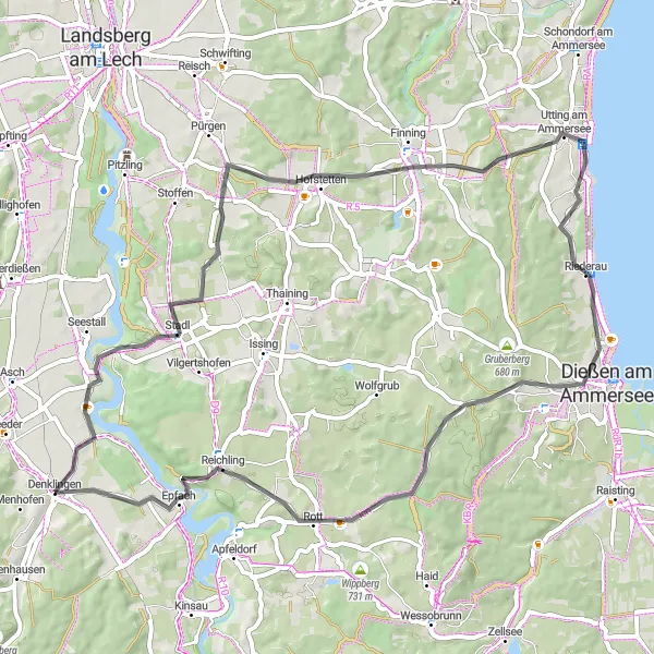
Explore the quaint countryside surrounding Denklingen on this charming road loop
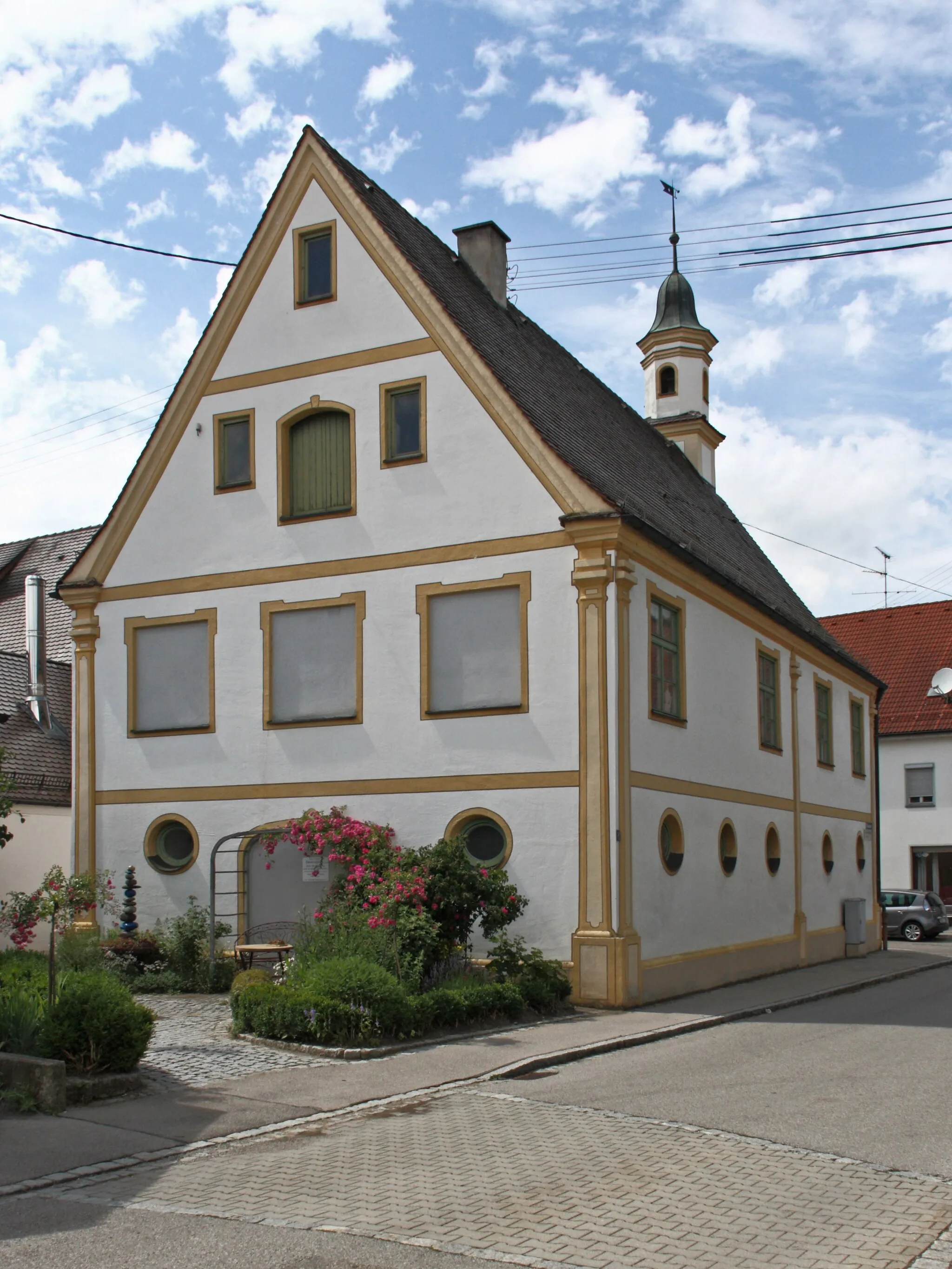
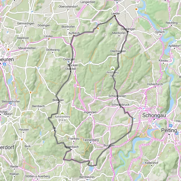
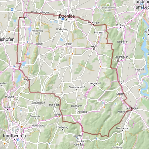
Step into the tranquility of the countryside with this road loop from Denklingen. Covering a distance of 62 kilometers with a total ascent of 609 meters, this scenic route showcases the idyllic charm of the Denklingen region. Highlights along the way include Denklingen, Mundraching, Entraching, Riederau, Jungfernberg, Eselsberg, and Reichling. Cyclists will enjoy the scenic beauty of quaint Bavarian villages, rolling hills, and peaceful landscapes. This route provides a pleasant cycling experience that may be enjoyed by cyclists of various skill levels.
Embark on an adventurous gravel route near Denklingen
Challenge yourself with this gravel route starting from Denklingen. Covering a distance of 88 kilometers and featuring an ascent of 968 meters, this route is recommended for experienced gravel cyclists.
Embark on a scenic gravel journey from Denklingen
Experience a captivating gravel journey starting from Denklingen. This route covers a distance of 67 kilometers and offers an elevation gain of 813 meters. Traverse stunning landscapes and explore picturesque Bavarian villages along the way.
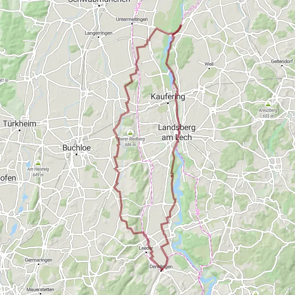
Embark on a thrilling gravel expedition to Landsberg am Lech
Take on the challenge of a gravel expedition from Denklingen to Landsberg am Lech, covering a distance of 72 kilometers with an ascent of 410 meters. This route offers a mix of natural landscapes, historic sites, and charming villages, providing a memorable experience for gravel adventurers.
Explore the beautiful countryside surrounding Denklingen, with a highlight stop in Türkheim.
This round-trip cycling route takes you on a scenic journey through the picturesque Oberbayern region. Starting in Denklingen, you will pedal through quaint villages, rolling farmlands, and lush green meadows. The highlight of the route is the charming town of Türkheim, where you can take a break and explore its historical attractions. With a moderate level of difficulty, this route is suitable for well-trained cyclists looking for a leisurely ride.
Take on the challenge of this road circuit around Denklingen, featuring rewarding ascents and breathtaking vistas
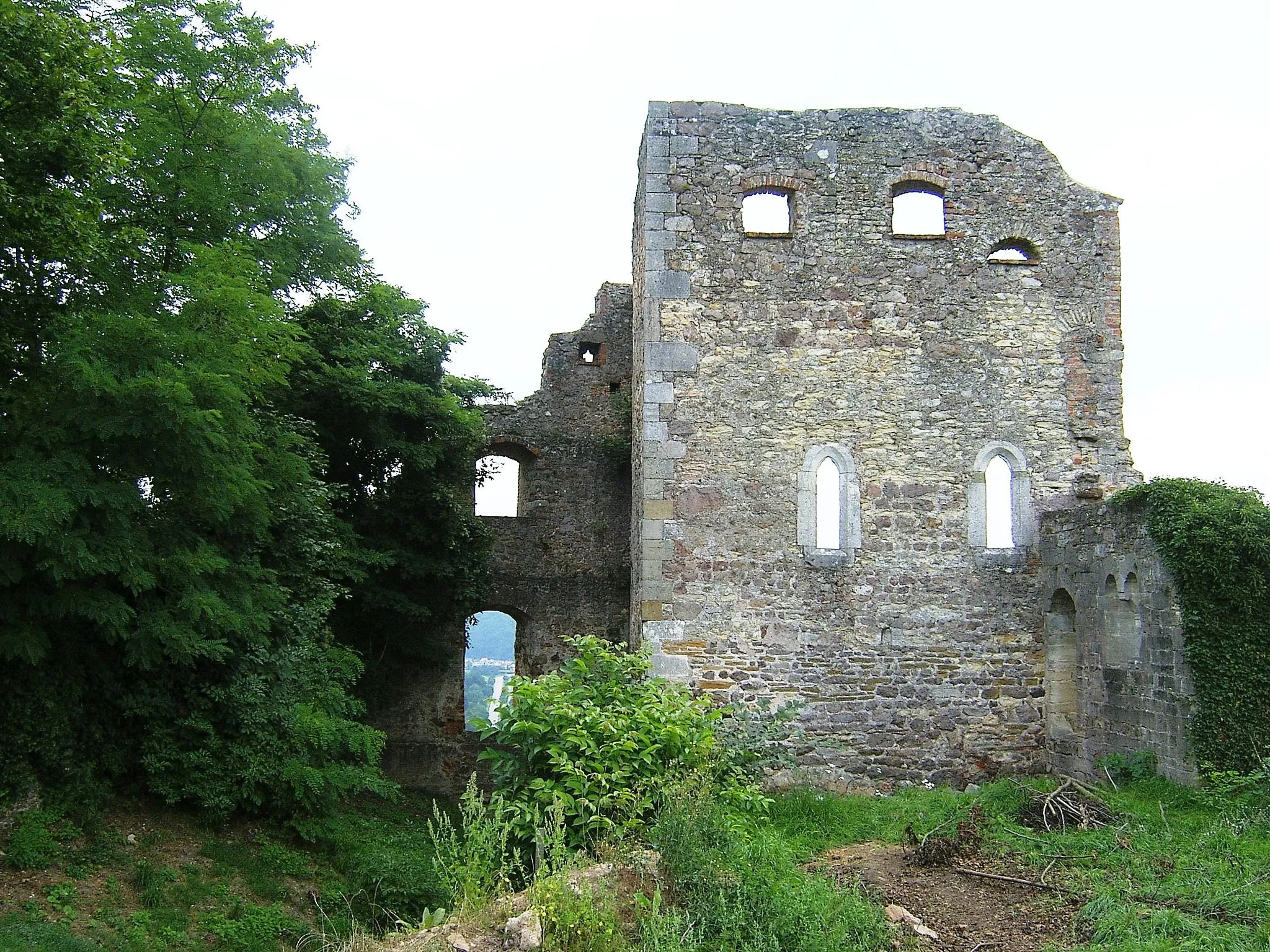
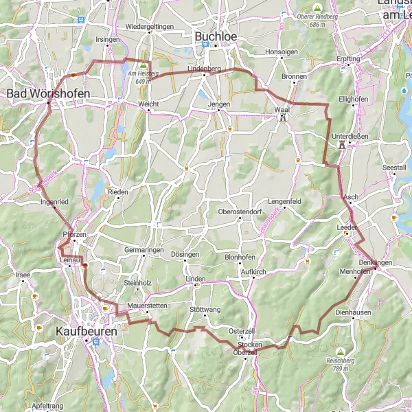
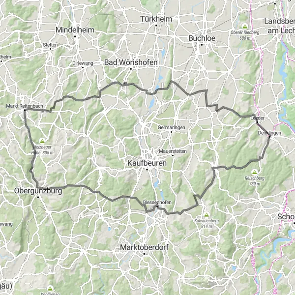
For those seeking a true cycling challenge, the road circuit around Denklingen is the perfect choice. Covering a distance of 104 kilometers and featuring a total ascent of 1134 meters, this route is reserved for experienced and well-trained cyclists. The circuit showcases the diverse landscapes of the Denklingen region, offering stunning views, challenging ascents, and exhilarating descents. Highlights along the way include Denklingen, Aussichtspunkt Oberzell, Ramersberg, Wenglingen, Ronsberg, Lauchdorf, Schlingen, and Eurishofen. Get ready for a rollercoaster ride that will test your endurance and provide you with unparalleled cycling satisfaction.
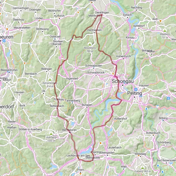
Explore the rugged gravel paths around Denklingen
Embark on a thrilling gravel adventure with stunning scenery and challenging terrains. This 65-kilometer route takes you through picturesque Bavarian countryside, with highlights including the charming village of Stöttwang, the historic Frankenhofen, and the vibrant town of Buchloe. Get ready for a ride filled with beautiful landscapes and exciting off-road sections that will test your skills.
Cycling routes nearby:

Nearby regions: