A charming locality for road and gravel cyclists in Oberbayern, Germany.
Cycling routes from Reichling
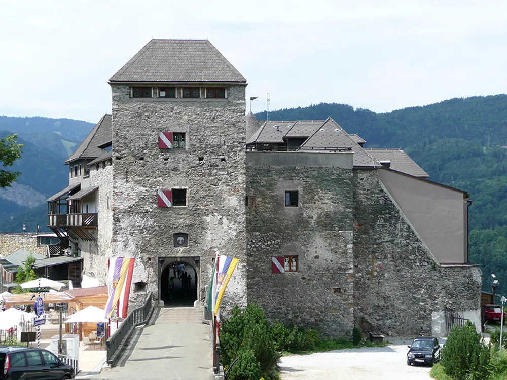
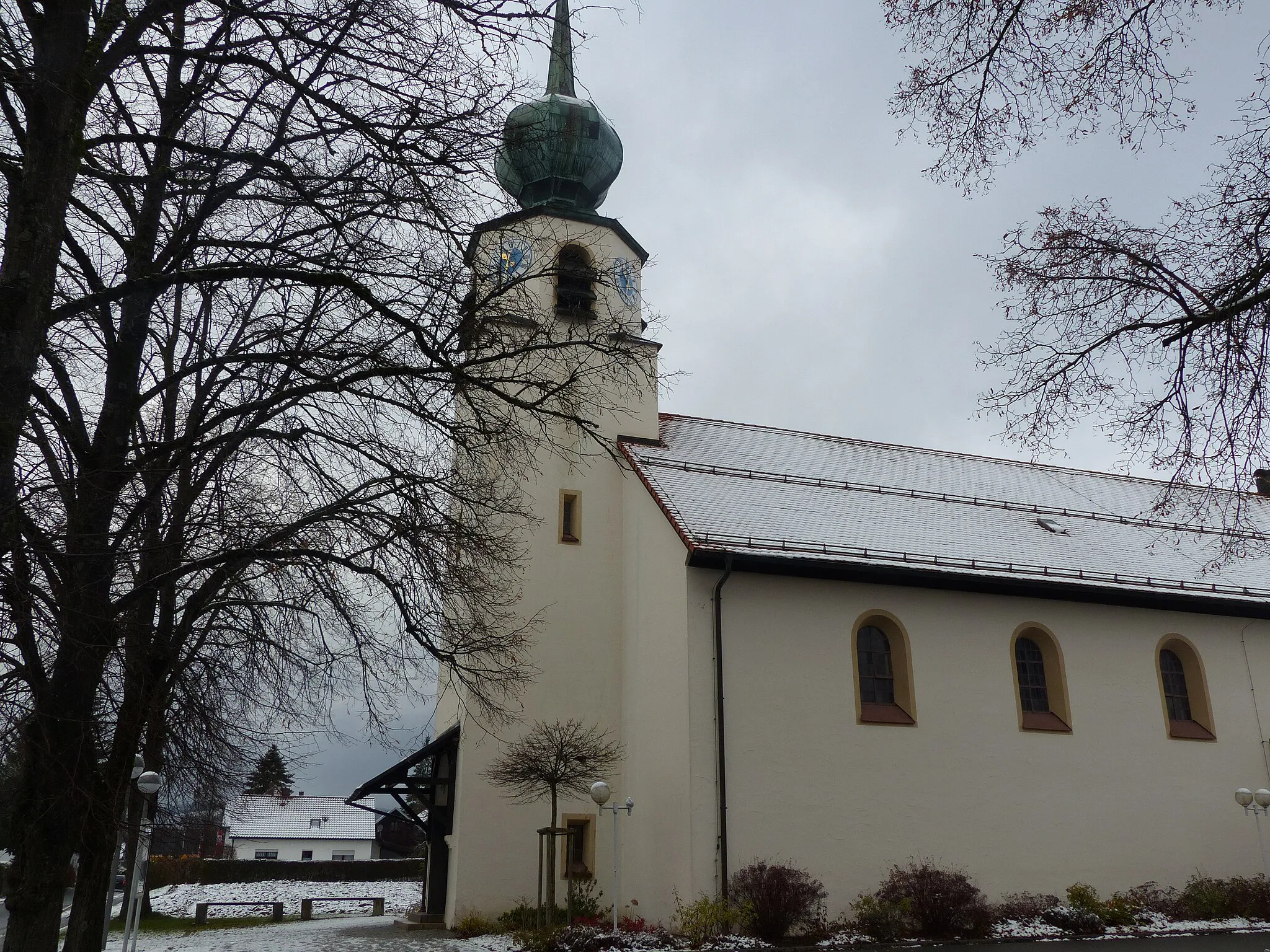
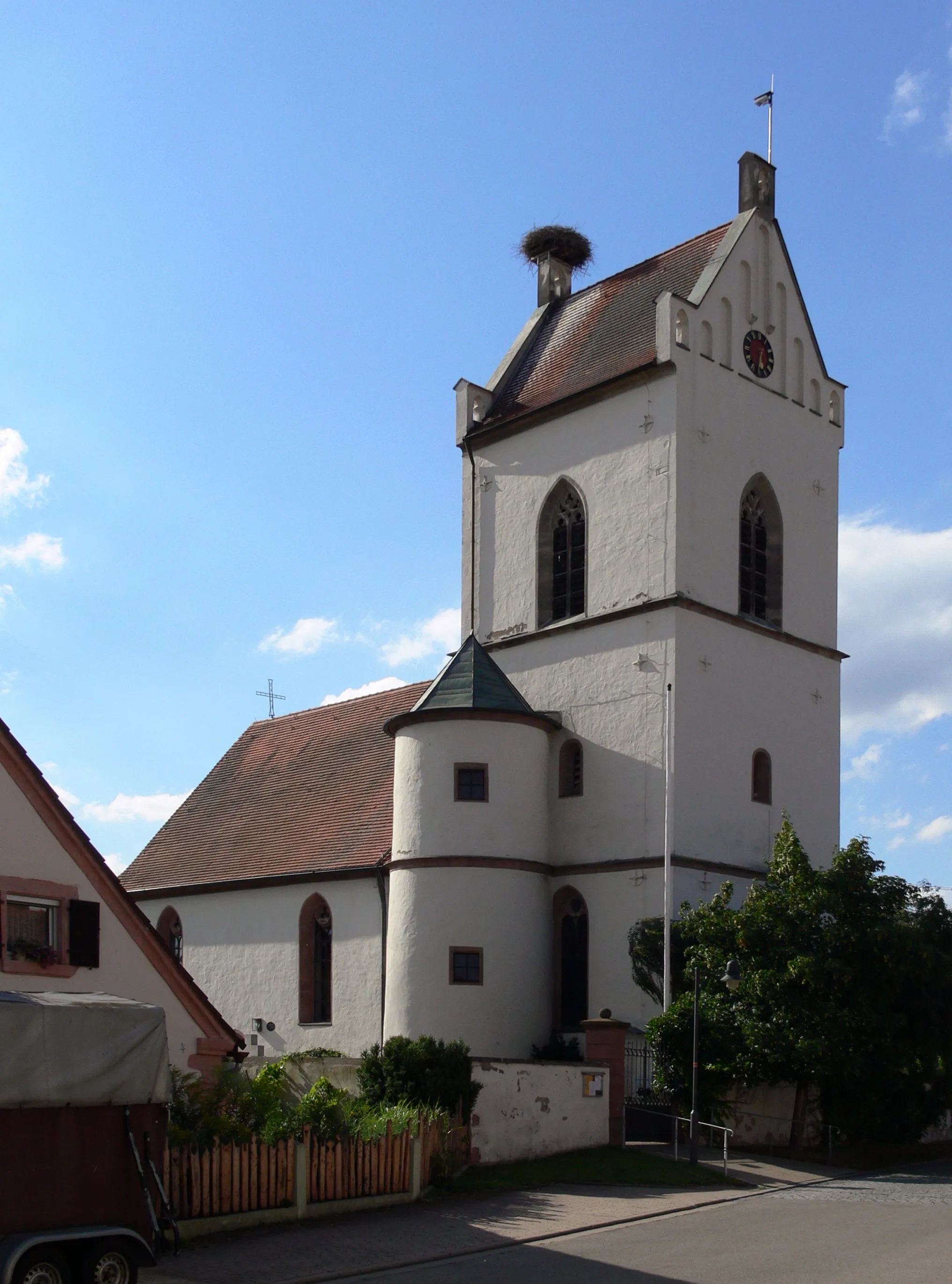
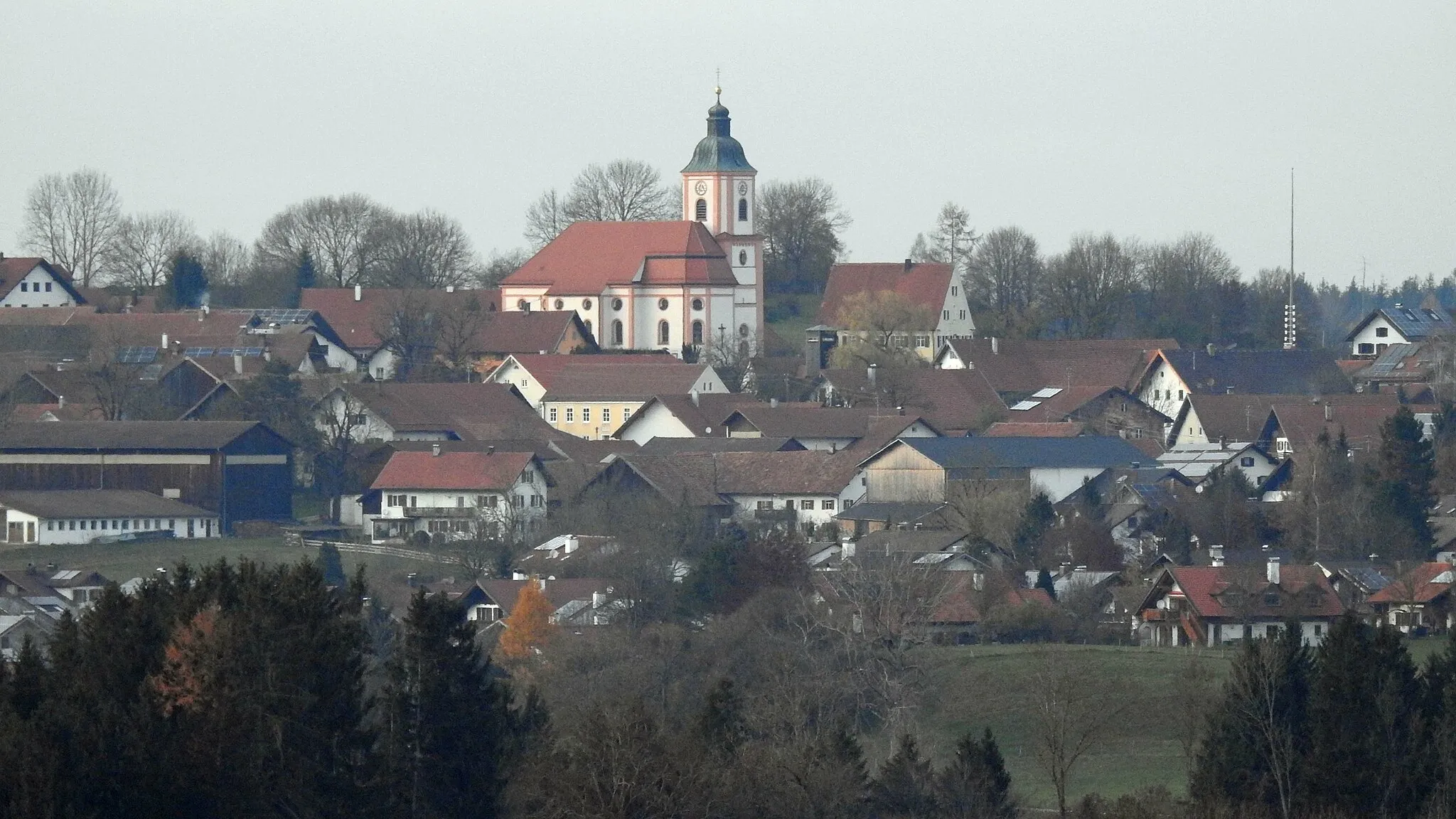
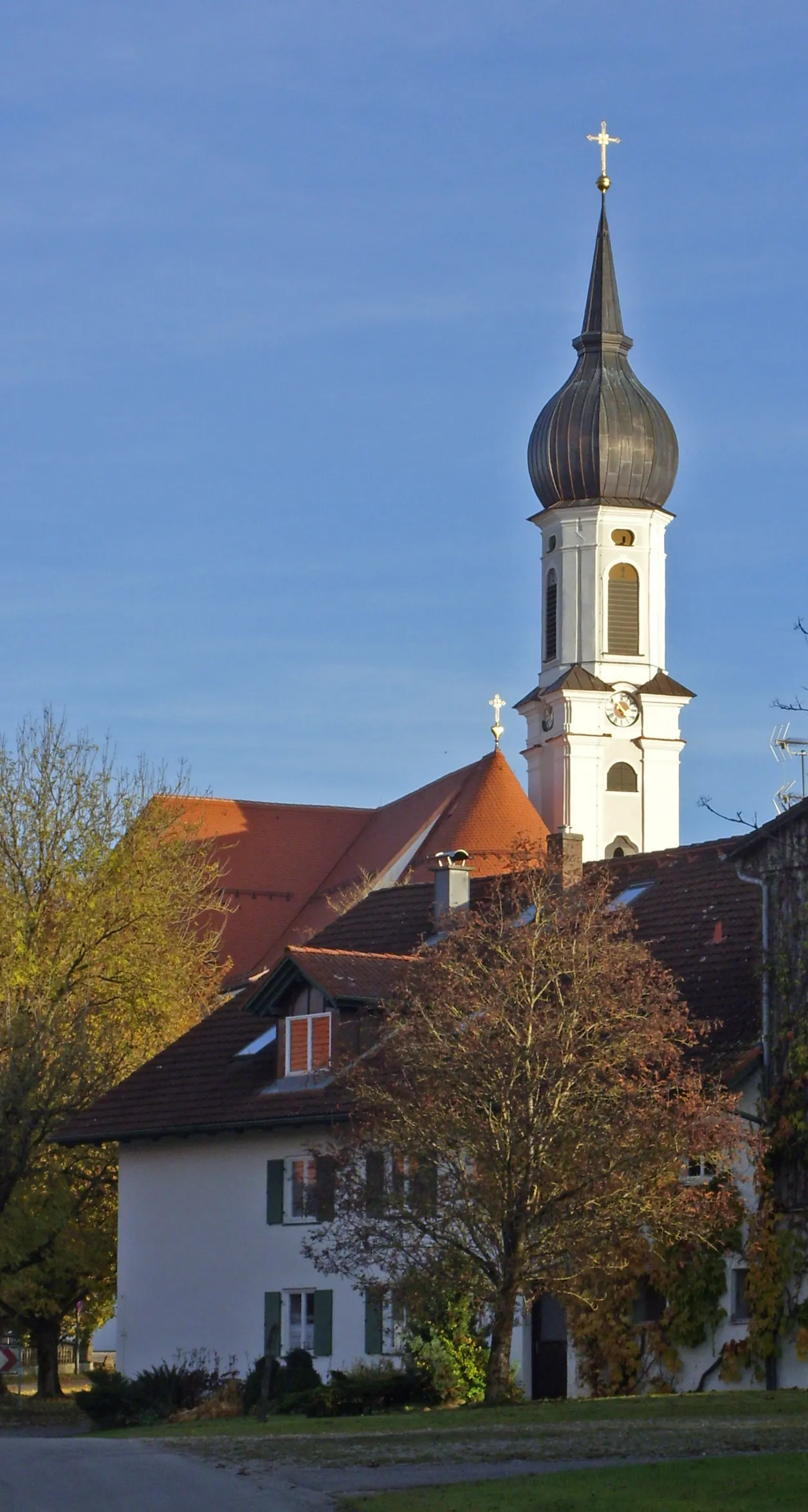
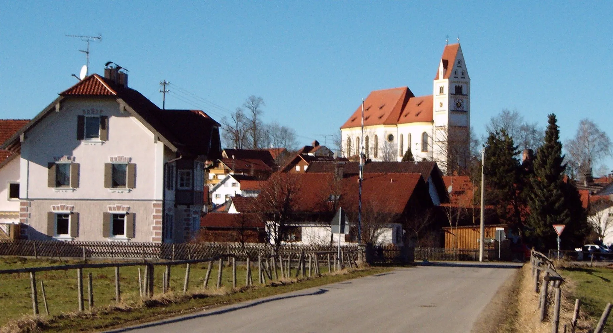
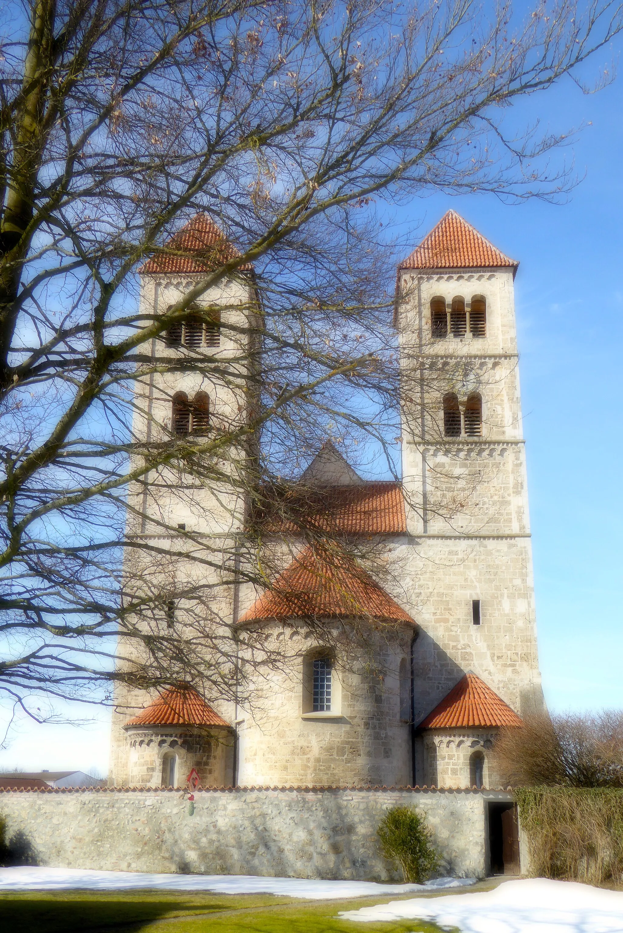
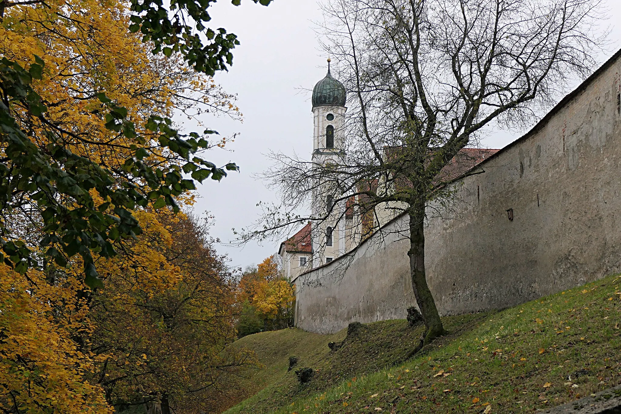
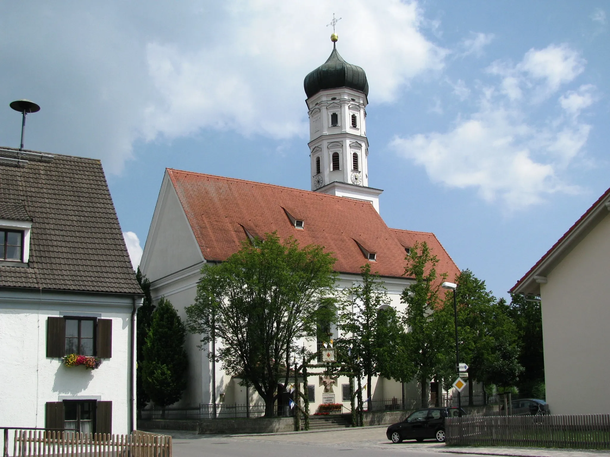
Reichling in Oberbayern, Germany is a charming locality for road and gravel cyclists. The region is known for its peaceful countryside and rolling landscapes, making it ideal for leisurely rides. Cyclists can explore the nearby famous spot, the Hohenbeilstein castle. Reichling is a delightful destination that offers both scenic beauty and historical landmarks for cyclists.
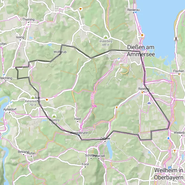
Embark on an enchanting road cycling journey through Oberbayern's natural beauty
This scenic road cycling route takes you from Weinberg to Wessobrunn, revealing the captivating landscapes of Oberbayern. With a total distance of 45 km and an elevation gain of 398 meters, this route is suitable for intermediate cyclists. Highlights include Dießen am Ammersee, Wessobrunn's famous abbey, and the picturesque Kalvarienberg with its splendid views. Overall, this route offers a mix of nature, culture, and authentic Bavarian charm, making it a must-ride for cyclists seeking a unique and immersive experience.
Reichling Adventure
Embark on a thrilling gravel cycling adventure in the beautiful Reichling region
The Reichling Adventure is a 54 km gravel cycling route with an ascent of 540 meters. Highlights along the route include Reichling, Waalhaupten, Landsberg am Lech, Lauschplatz, and Vilgertshofen. Suitable for experienced cyclists, this route has a difficulty rating of 4 and an epicness rating of 3 out of 5.
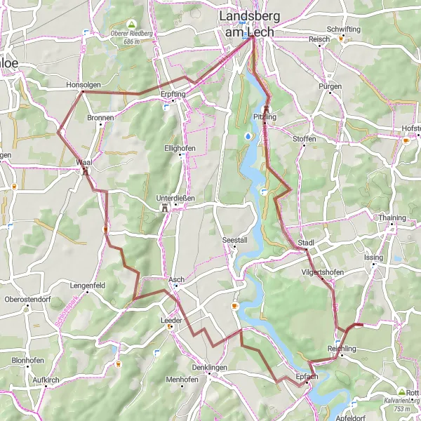
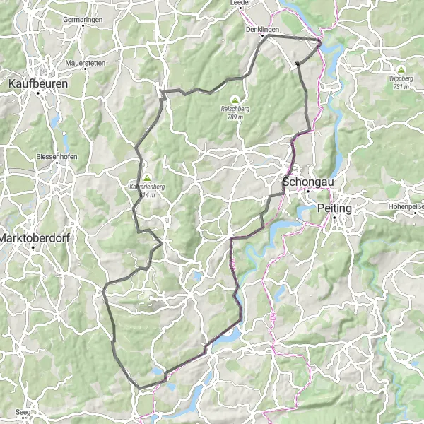
Discover Bavaria's scenic landscapes and historic towns on this road cycling route
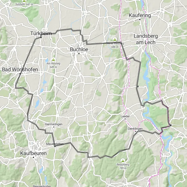
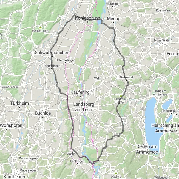
This road cycling loop from Denklingen to Landsberg am Lech showcases the captivating beauty of Upper Bavaria. With a distance of 69 km and an elevation gain of 522 meters, this route offers a rewarding challenge for intermediate cyclists. Highlights include Buchloe, Igling, and the picturesque village of Vilgertshofen. With its captivating landscapes, historic towns, and cultural landmarks, this route provides an immersive cycling experience in the heart of Bavaria.
Epfach Loop
Discover the hidden gem of Epfach on this scenic gravel cycling route
The Epfach Loop offers a beautiful gravel cycling experience through Oberbayern, with a distance of 41 km and an ascent of 399 meters. Highlights include Epfach, Unterdießen, Landsberg am Lech, Lauschplatz, and Vilgertshofen. Suitable for well-trained amateurs, this route has a difficulty level of 3 and an epicness rating of 3 out of 5.
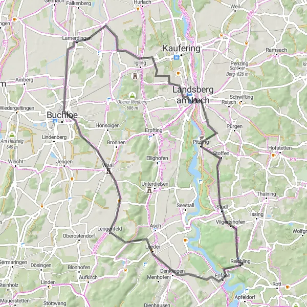
Embark on a road cycling adventure through charming Bavarian villages
This scenic road cycling route takes you from Denklingen to Vilgertshofen, showcasing the beauty of Oberbayern's countryside. Covering a distance of 93 km and featuring an elevation gain of 718 meters, this route provides a challenge for seasoned cyclists. Highlights along the way include Oberzell, Stöttwang, and Türkheim, offering panoramic views and cultural sites. Overall, this route promises stunning scenery, cultural immersion, and a captivating cycling experience.
Embark on an adventurous road cycling route to Lechbruck am See
The Lechbruck Adventure is a thrilling road cycling route with an ascent of 825 meters and a distance of 84 km. It offers stunning highlights such as Lustberg, Hohenfurch, Lechbruck am See, Stötten a.Auerberg, Guggenberg, Bidingen, Aussichtspunkt Oberzell, and Denklingen. With a difficulty level of 4, this route is suitable for experienced cyclists. It scores an epicness rating of 4 out of 5.
Landsberg Loop
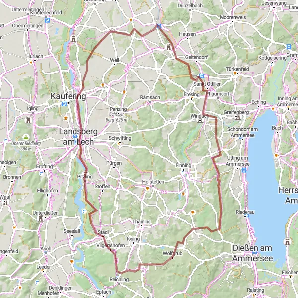
Enjoy the stunning landscapes and historic landmarks on this gravel cycling loop
The Landsberg Loop is a scenic 76 km gravel cycling route with an ascent of 596 meters. Highlights along the way include Lechblick, Landsberg am Lech, Schloss Kaltenberg, Blick auf Kloster Sankt Ottilien, Windach, Rainberg, and Gimmenhausen. With a difficulty level of 4, this route is suitable for experienced cyclists and offers an epicness rating of 3 out of 5.
Vilgertshofen Loop
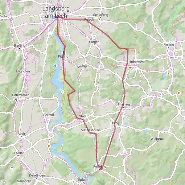
Explore the charming village of Vilgertshofen in this gravel cycling route
This route takes you through scenic Oberbayern, with highlights including Lechblick, Landsberg am Lech, and Reichlingsried. With a distance of 38 km and an ascent of 369 meters, the Vilgertshofen Loop is suitable for well-trained amateurs. The epicness of this route is rated 3 out of 5.
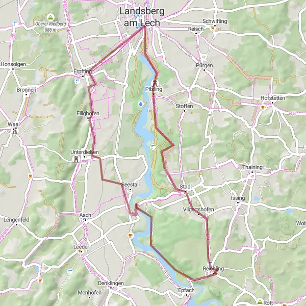
Reichling to Unterdießen Circuit
A thrilling road cycling adventure through scenic Oberbayern
This challenging road circuit takes you from Reichling to Unterdießen and back, traversing picturesque landscapes and charming towns. With a total distance of 112 km and an ascent of 555 meters, it offers an exhilarating ride for experienced cyclists. The route passes through highlights such as Igling, Bobingen, and Ulrichshöhe, offering opportunities for rest and exploration along the way. Overall, this route provides a scenic and demanding experience for road cycling enthusiasts.
Embark on an off-road cycling adventure through Oberbayern's rural landscapes
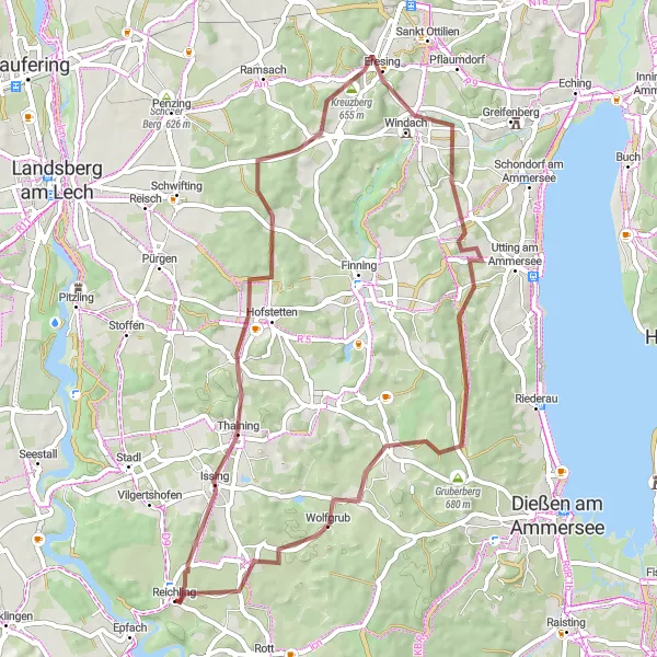
This gravel cycling route takes you on an unforgettable journey through the rural landscapes surrounding Reichling. Covering a distance of 55 km and featuring an elevation gain of 555 meters, this challenging route is suitable for experienced gravel cyclists. Highlights along the way include Kirchberg, Windach, and the charming village of Ludenhausen. The diverse terrain and secluded surroundings make this route a rewarding and adventurous choice for gravel enthusiasts seeking a unique cycling experience.
Cycling routes nearby:


Nearby regions: