Reichlingsried Gravel Adventure
A gravel cycling route starting from Reichling
Embark on an off-road cycling adventure through Oberbayern's rural landscapes
Map
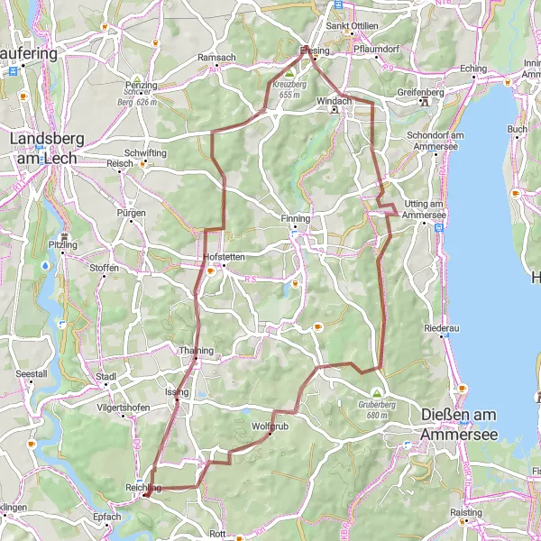
This gravel cycling route takes you on an unforgettable journey through the rural landscapes surrounding Reichling. Covering a distance of 55 km and featuring an elevation gain of 555 meters, this challenging route is suitable for experienced gravel cyclists. Highlights along the way include Kirchberg, Windach, and the charming village of Ludenhausen. The diverse terrain and secluded surroundings make this route a rewarding and adventurous choice for gravel enthusiasts seeking a unique cycling experience.
gravel
55 km
555 m
Tough
Route profile
Highlights on the route
0 km
0 km
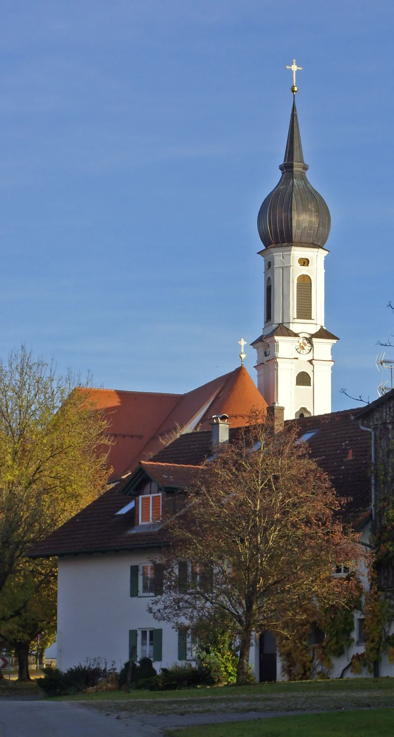
Start: Reichling Village centerReichling: A charming locality for road and gravel cyclists in Oberbayern, Germany.
Reichling in Oberbayern, Germany is a charming locality for road and gravel cyclists. The region is known for its peaceful countryside and rolling landscapes, making it ideal for leisurely rides. Cyclists can explore the nearby famous spot, the Hohenbeilstein castle. Reichling is a delightful destination that offers both scenic beauty and historical landmarks for cyclists.1 km
1 km
ReichlingsriedVillageReichlingsried marks the starting point of this gravel adventure through scenic rural landscapes.
19 km
19 km
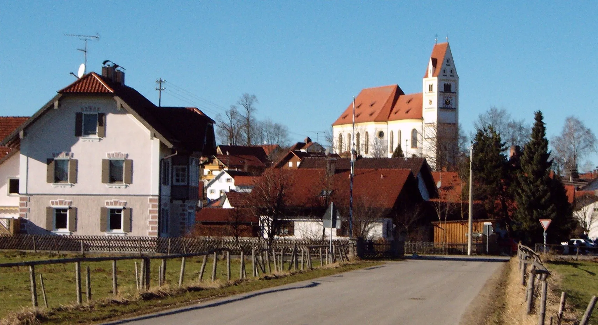
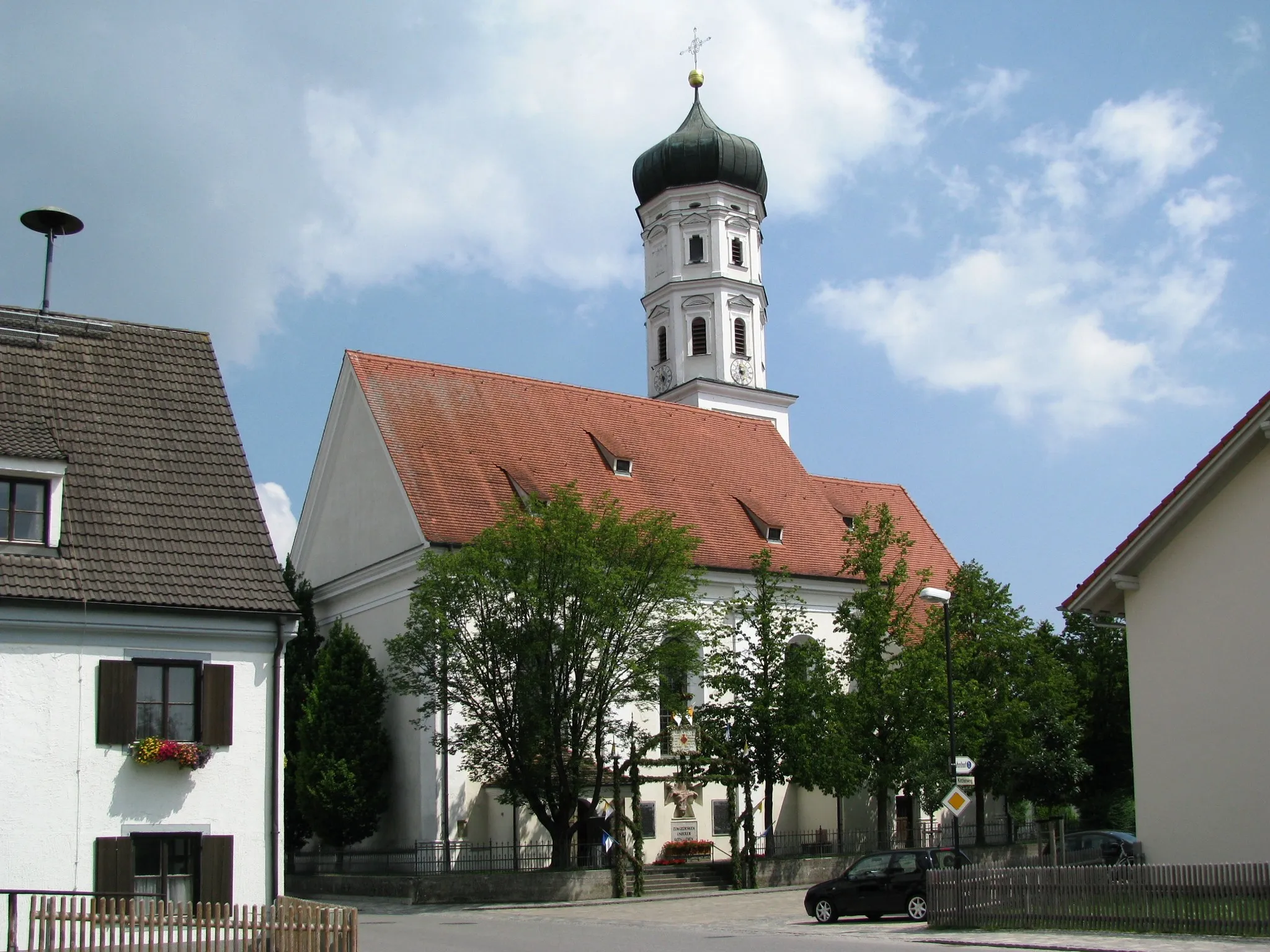
SchöffeldingVillageSchöffelding, a village nestled amidst fields and meadows, offers a quaint stop during the ride.
21 km
21 km
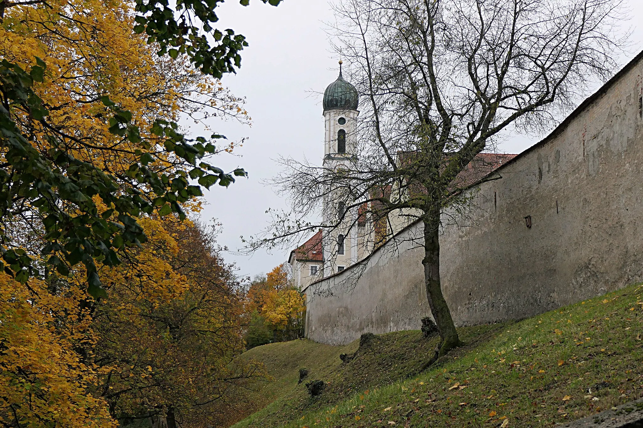
Kirchberg642 mPeakKirchberg, with its charming Bavarian architecture and peaceful atmosphere, is a highlight along the route.
26 km
26 km
WindachVillageWindach is a picturesque village surrounded by tranquil nature and provides a beautiful spot to rest.
44 km
44 km
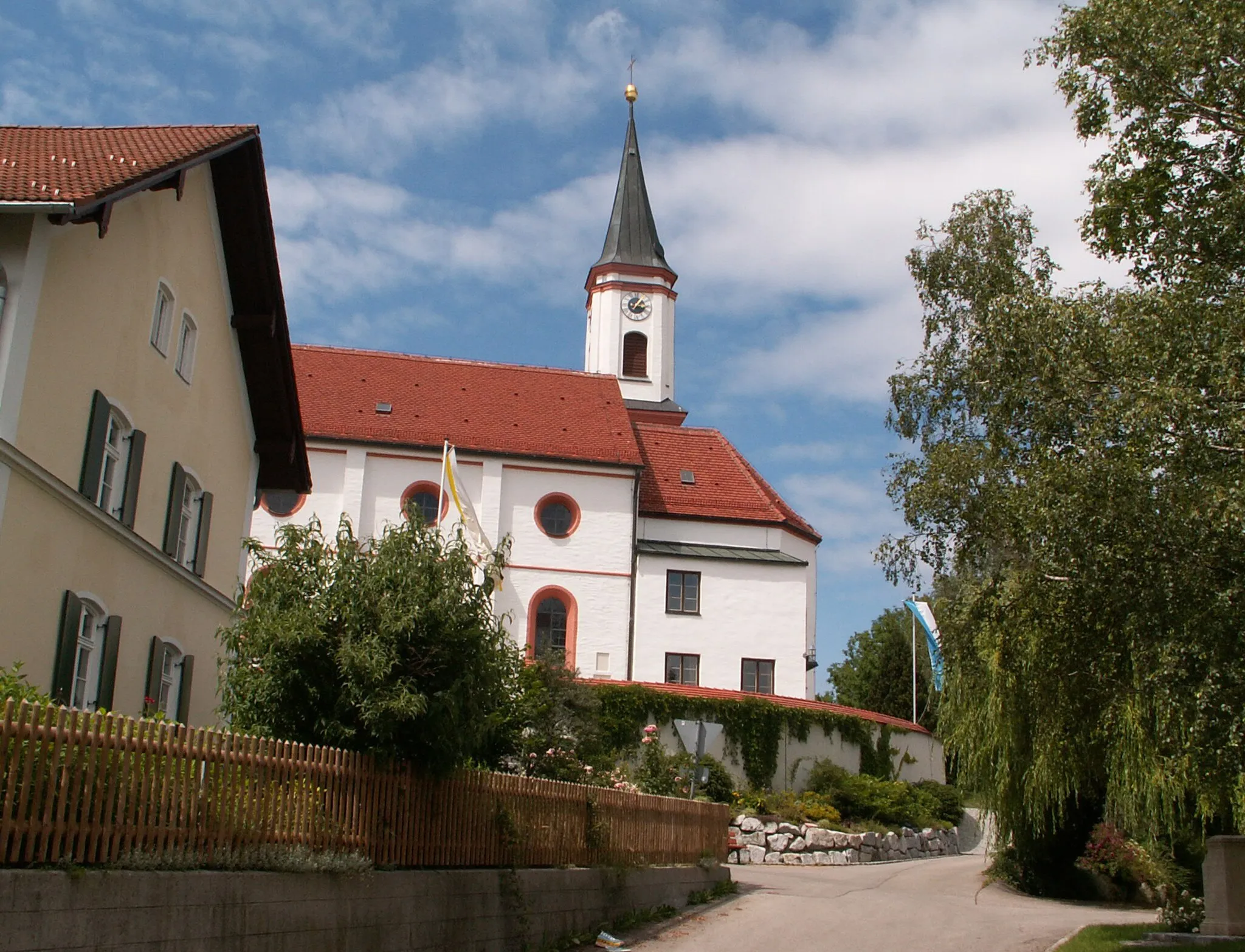
PitzeshofenHamletPitzeshofen captivates with its rustic charm and offers a secluded setting amidst rolling hills.
45 km
45 km
Rainberg663 mPeakRainberg, a small village situated at the edge of a forest, offers an idyllic retreat far from bustling towns.
51 km
51 km
LudenhausenVillageLudenhausen, nestled in the heart of rural Oberbayern, showcases the region's enchanting landscapes and traditional Bavarian charm.
55 km
55 km
Finish: Reichling Village centerReichling: A charming locality for road and gravel cyclists in Oberbayern, Germany.
Cycling routes nearby: