Weinberg to Wessobrunn Scenic Ride
A road cycling route starting from Reichling
Embark on an enchanting road cycling journey through Oberbayern's natural beauty
Map
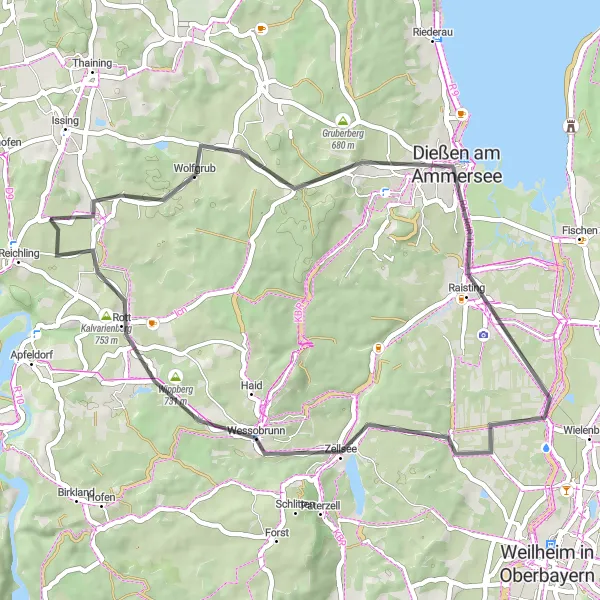
This scenic road cycling route takes you from Weinberg to Wessobrunn, revealing the captivating landscapes of Oberbayern. With a total distance of 45 km and an elevation gain of 398 meters, this route is suitable for intermediate cyclists. Highlights include Dießen am Ammersee, Wessobrunn's famous abbey, and the picturesque Kalvarienberg with its splendid views. Overall, this route offers a mix of nature, culture, and authentic Bavarian charm, making it a must-ride for cyclists seeking a unique and immersive experience.
road
45 km
398 m
Tough
Route profile
Highlights on the route
0 km
0 km
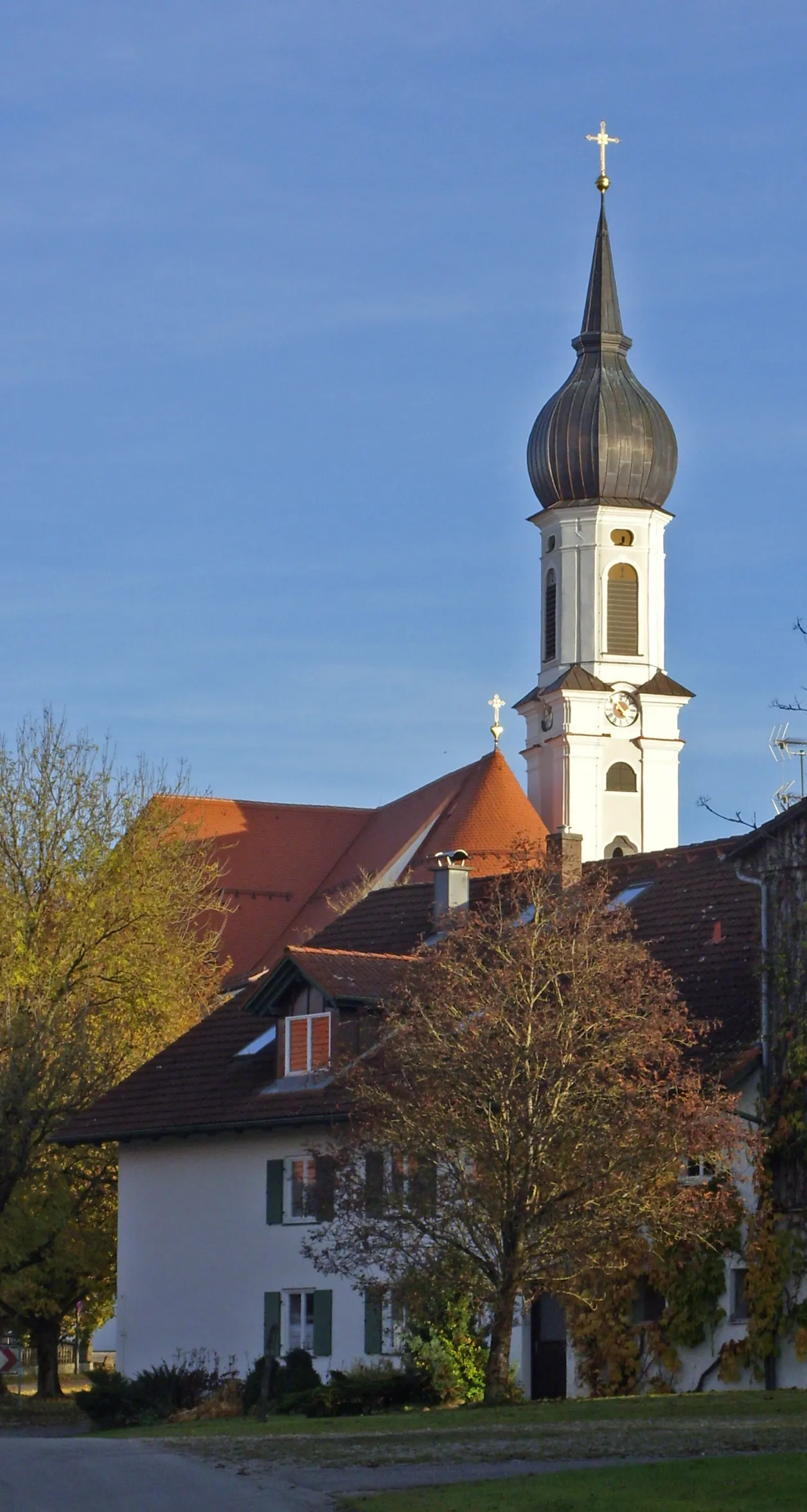
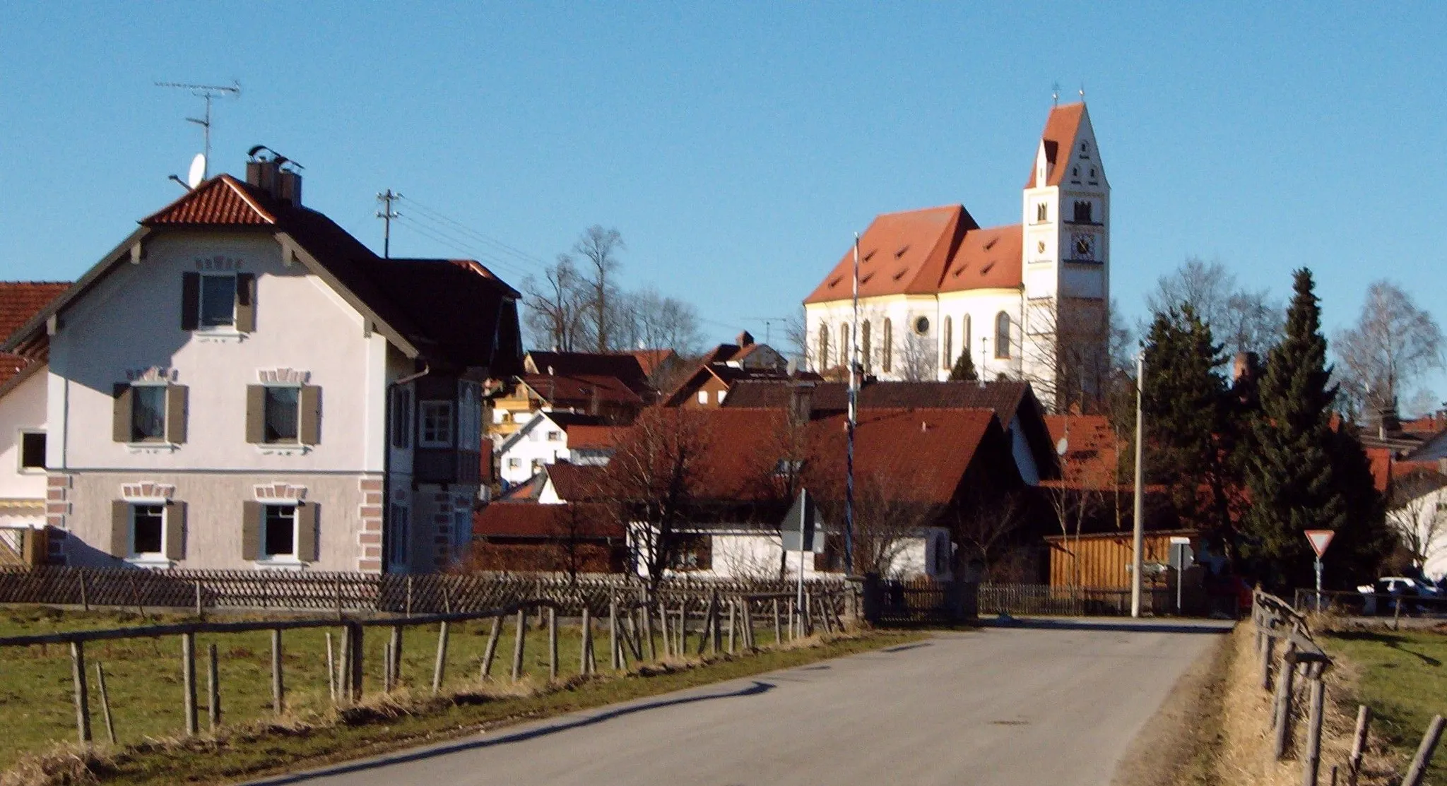
Start: Reichlingsried Village centerReichling: A charming locality for road and gravel cyclists in Oberbayern, Germany.
Reichling in Oberbayern, Germany is a charming locality for road and gravel cyclists. The region is known for its peaceful countryside and rolling landscapes, making it ideal for leisurely rides. Cyclists can explore the nearby famous spot, the Hohenbeilstein castle. Reichling is a delightful destination that offers both scenic beauty and historical landmarks for cyclists.10 km
10 km
Weinberg709 mPeakWeinberg offers a peaceful starting point for the ride, surrounded by vineyards and glimpses of the Ammersee.
14 km
14 km
Dießen am AmmerseeTownDießen am Ammersee is a charming lakeside town known for its beautiful promenade and stunning views across the Ammersee.
34 km
34 km
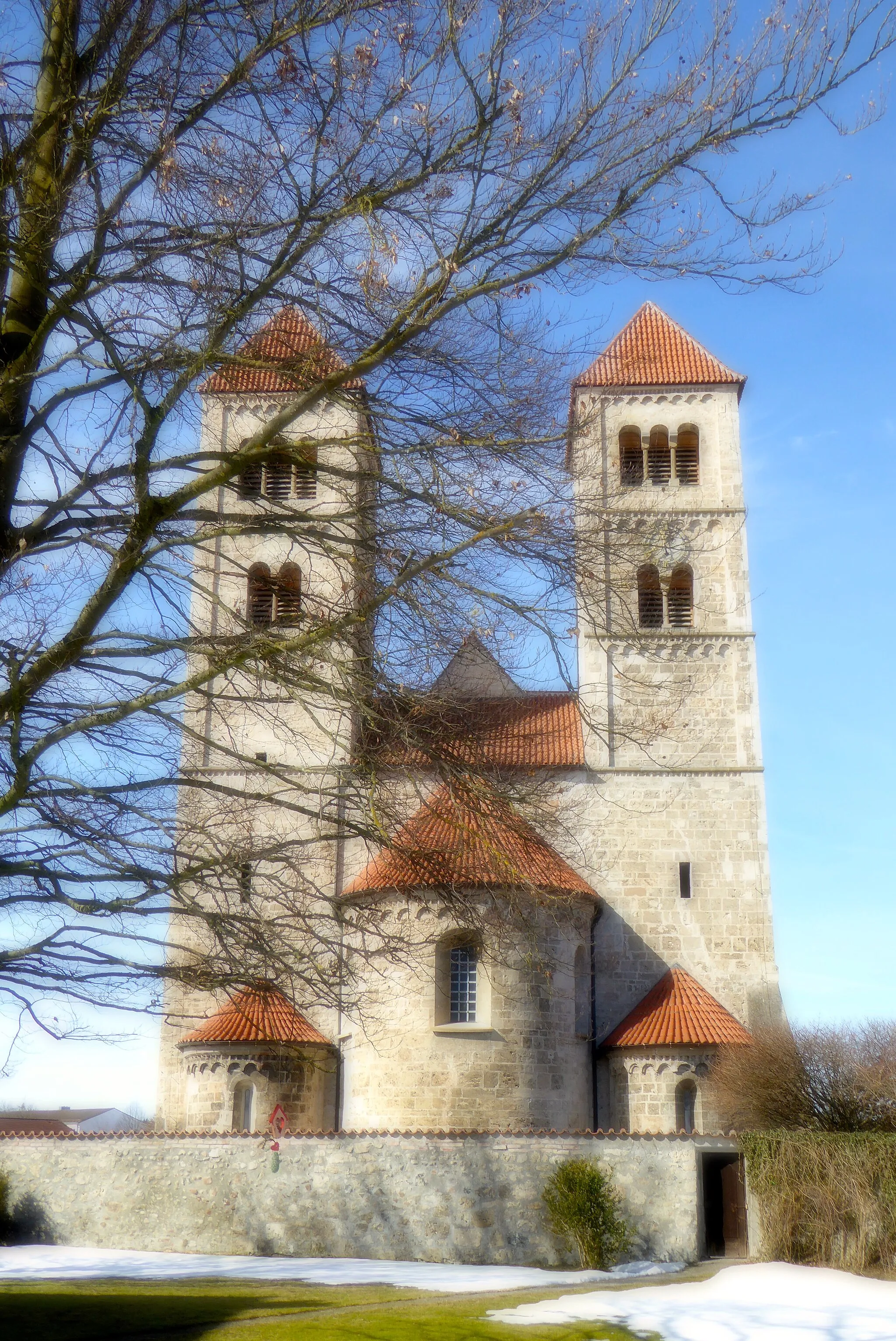
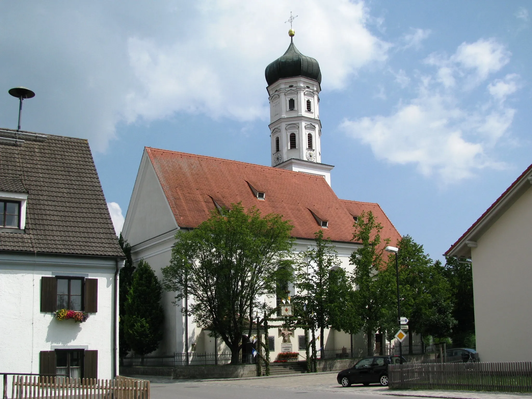
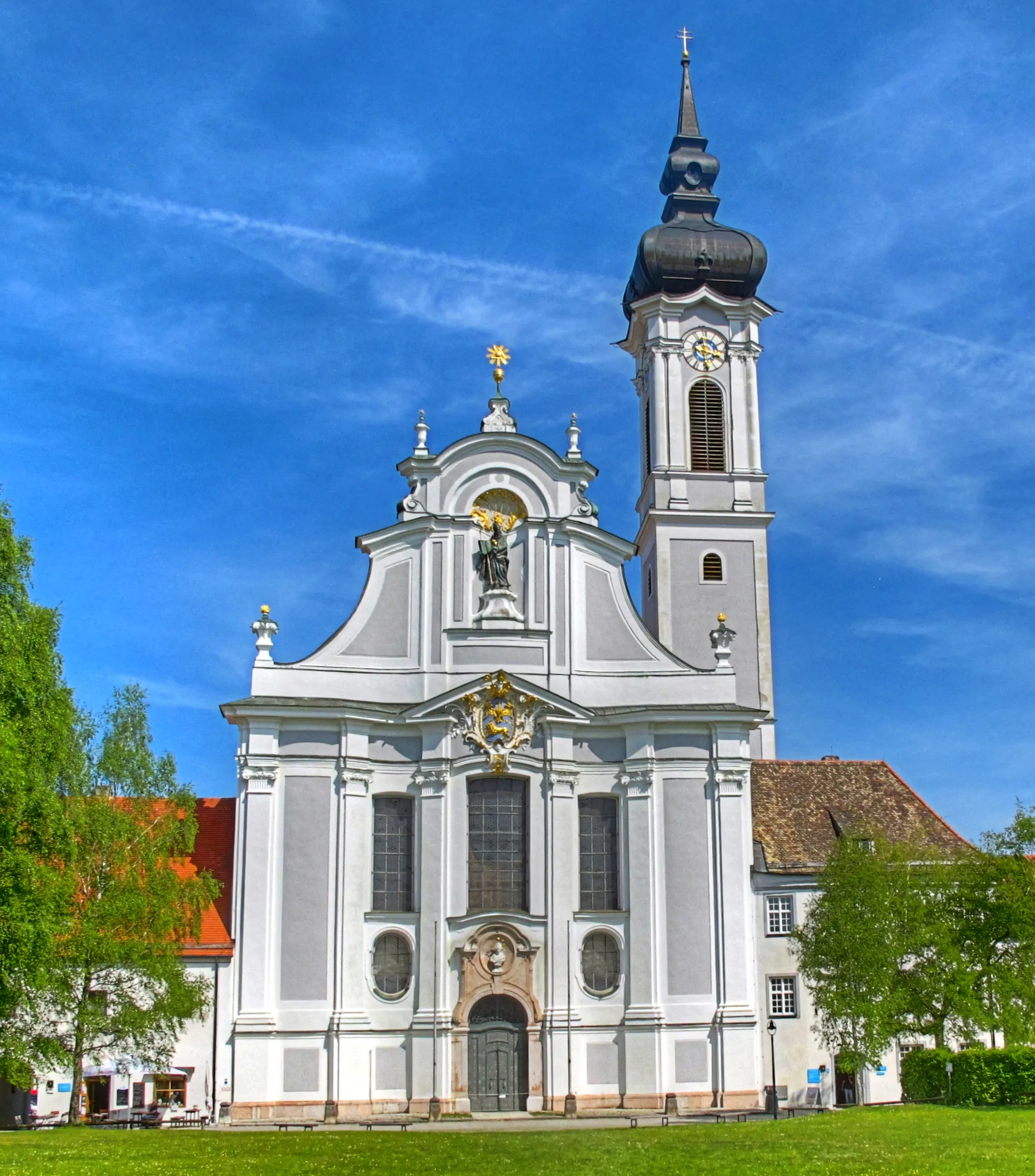
WessobrunnVillageWessobrunn's famous Benedictine monastery, founded in the 8th century, is a highly significant religious and architectural landmark.
40 km
40 km
Kalvarienberg753 mPeakKalvarienberg, a hill offering magnificent views of the surrounding countryside, makes for a great spot to take a break.
42 km
42 km
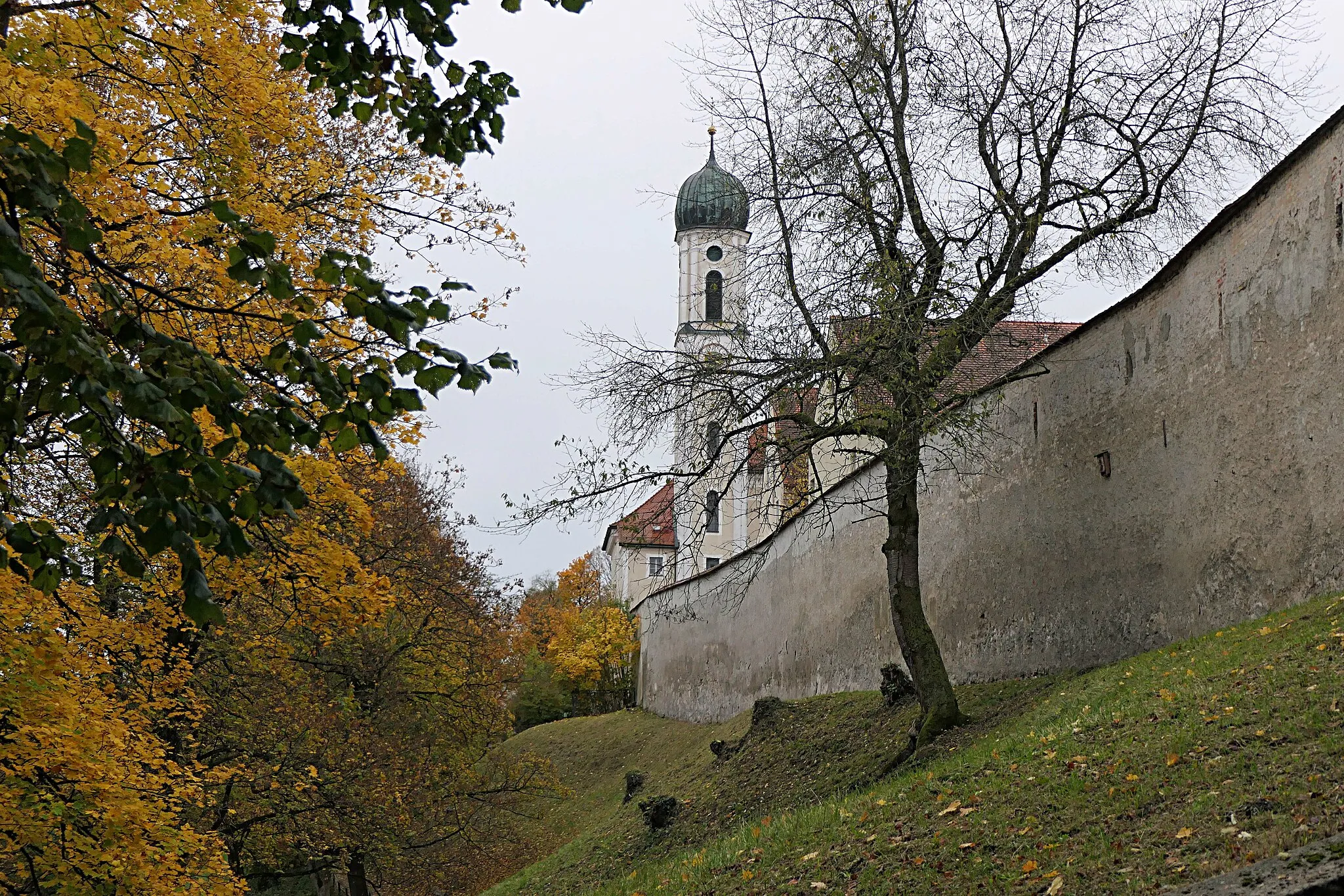
PessenhausenVillagePessenhausen, with its picturesque landscapes and tranquil ambiance, offers a charming stop along the route.
45 km
45 km
Finish: Reichlingsried Village centerReichling: A charming locality for road and gravel cyclists in Oberbayern, Germany.
Cycling routes nearby: