Epfach Loop
A gravel cycling route starting from Reichling
Discover the hidden gem of Epfach on this scenic gravel cycling route
Map
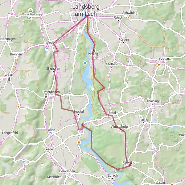
The Epfach Loop offers a beautiful gravel cycling experience through Oberbayern, with a distance of 41 km and an ascent of 399 meters. Highlights include Epfach, Unterdießen, Landsberg am Lech, Lauschplatz, and Vilgertshofen. Suitable for well-trained amateurs, this route has a difficulty level of 3 and an epicness rating of 3 out of 5.
gravel
41 km
399 m
Tough
Route profile
Highlights on the route
0 km
0 km
Start: Reichling Village centerReichling: A charming locality for road and gravel cyclists in Oberbayern, Germany.
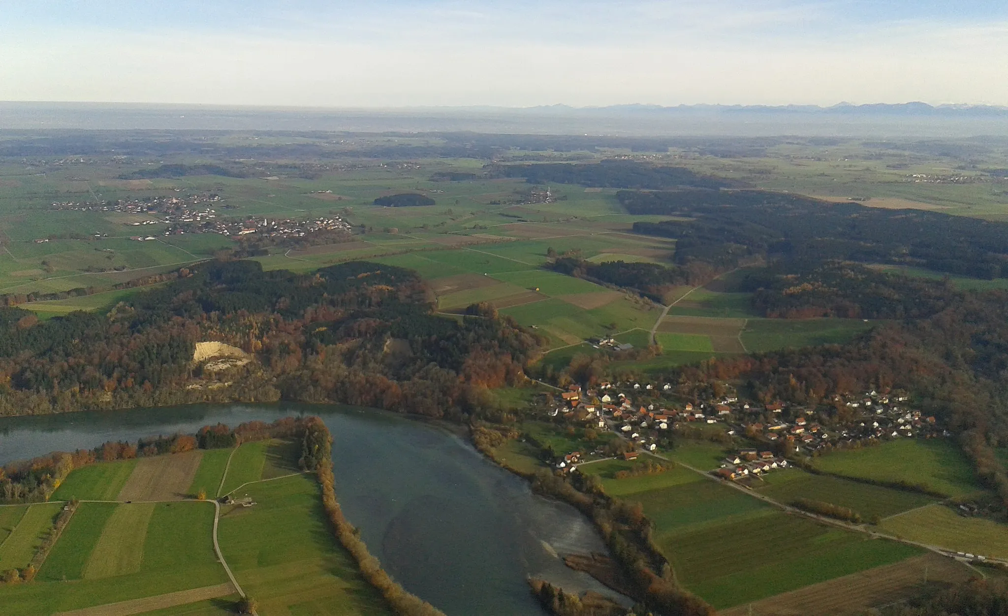
Reichling in Oberbayern, Germany is a charming locality for road and gravel cyclists. The region is known for its peaceful countryside and rolling landscapes, making it ideal for leisurely rides. Cyclists can explore the nearby famous spot, the Hohenbeilstein castle. Reichling is a delightful destination that offers both scenic beauty and historical landmarks for cyclists.1 km
1 km
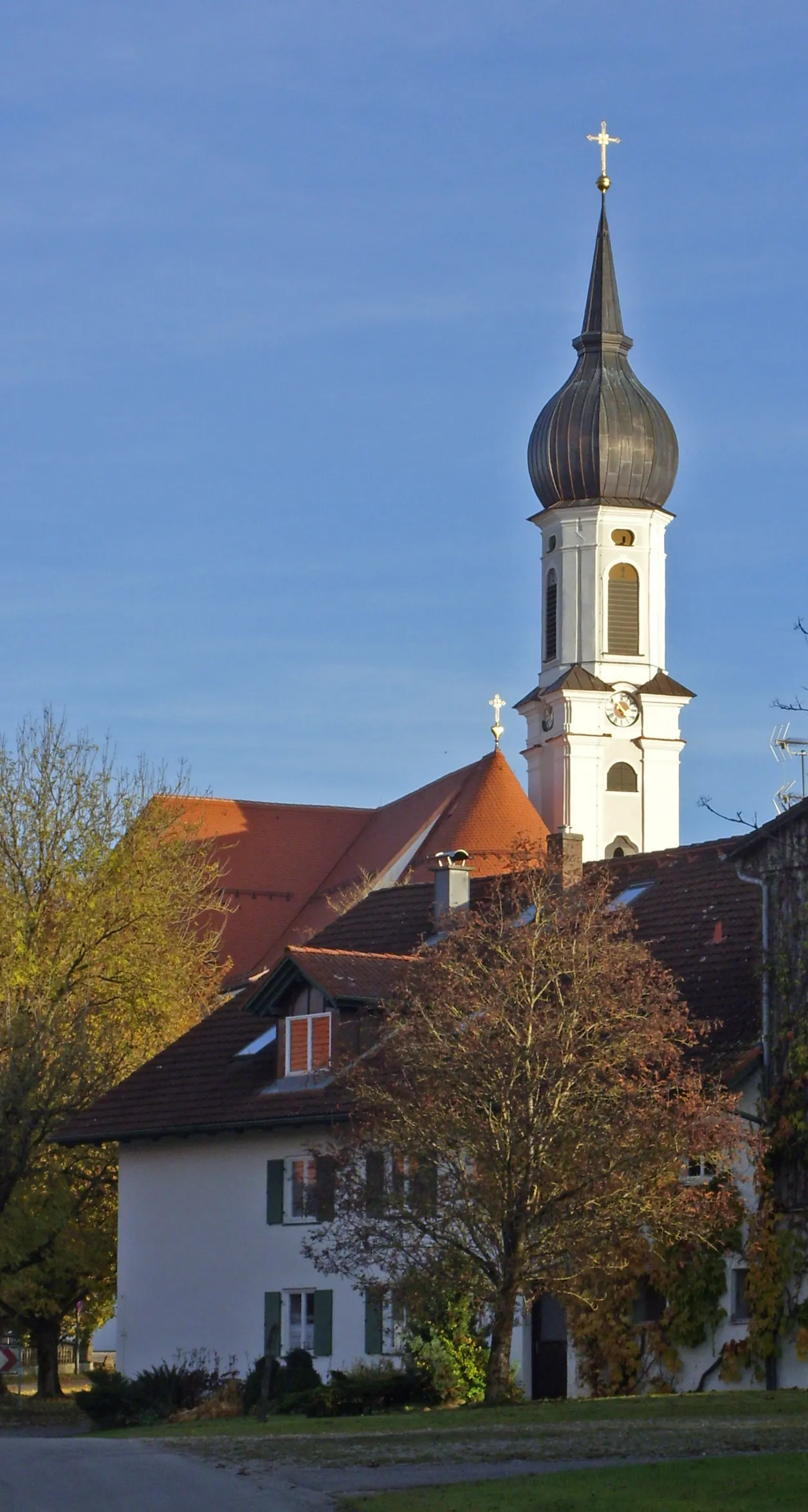
EpfachVillage13 km
13 km
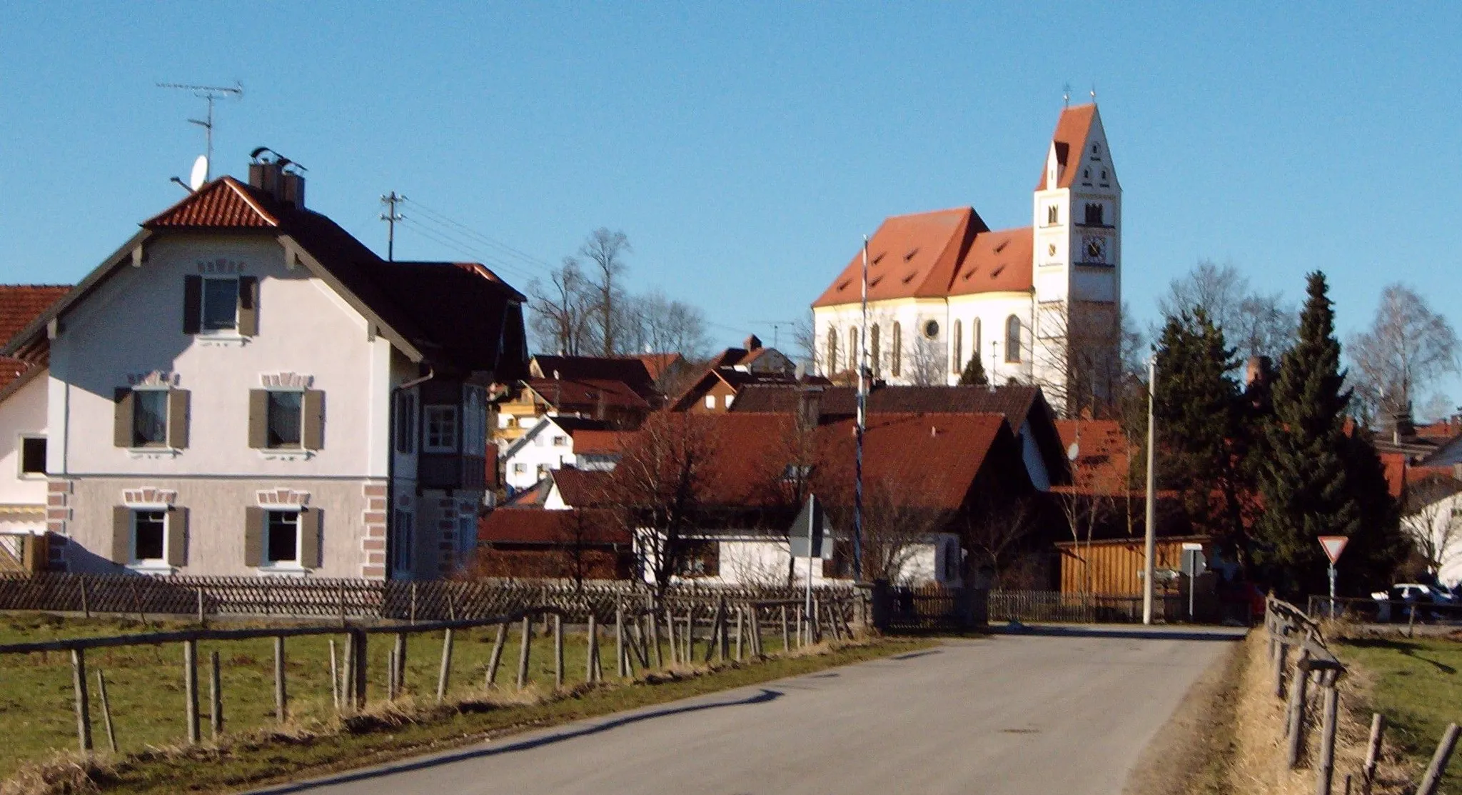
UnterdießenVillageVisit the charming village of Unterdießen, known for its idyllic surroundings and traditional Bavarian charm.
23 km
23 km
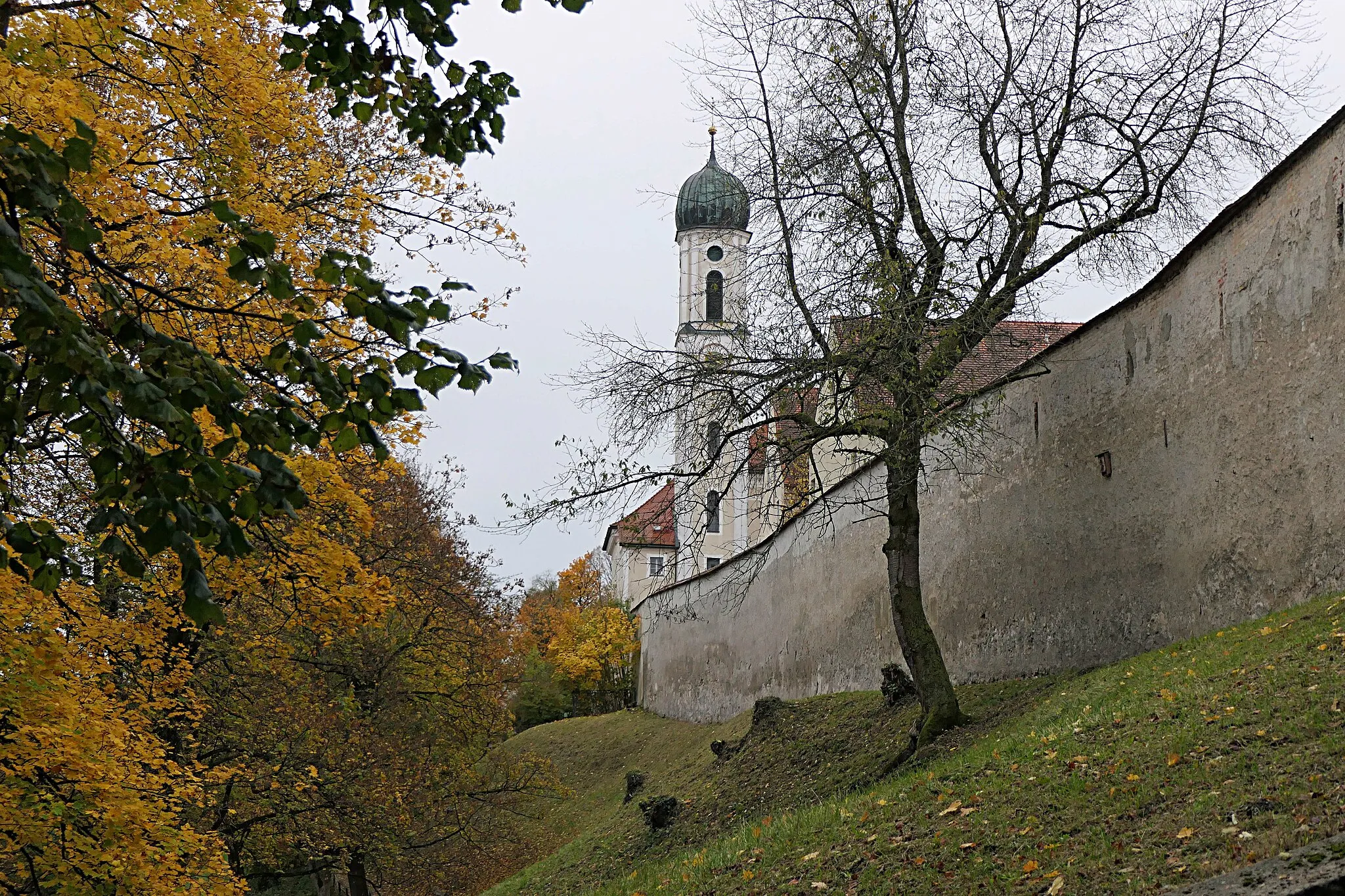
Landsberg am LechTownExplore the historic town of Landsberg am Lech, known for its well-preserved medieval architecture.
24 km
24 km
LauschplatzViewpointExperience the peaceful atmosphere of Lauschplatz, a tranquil forested area ideal for relaxation and contemplation.
36 km
36 km
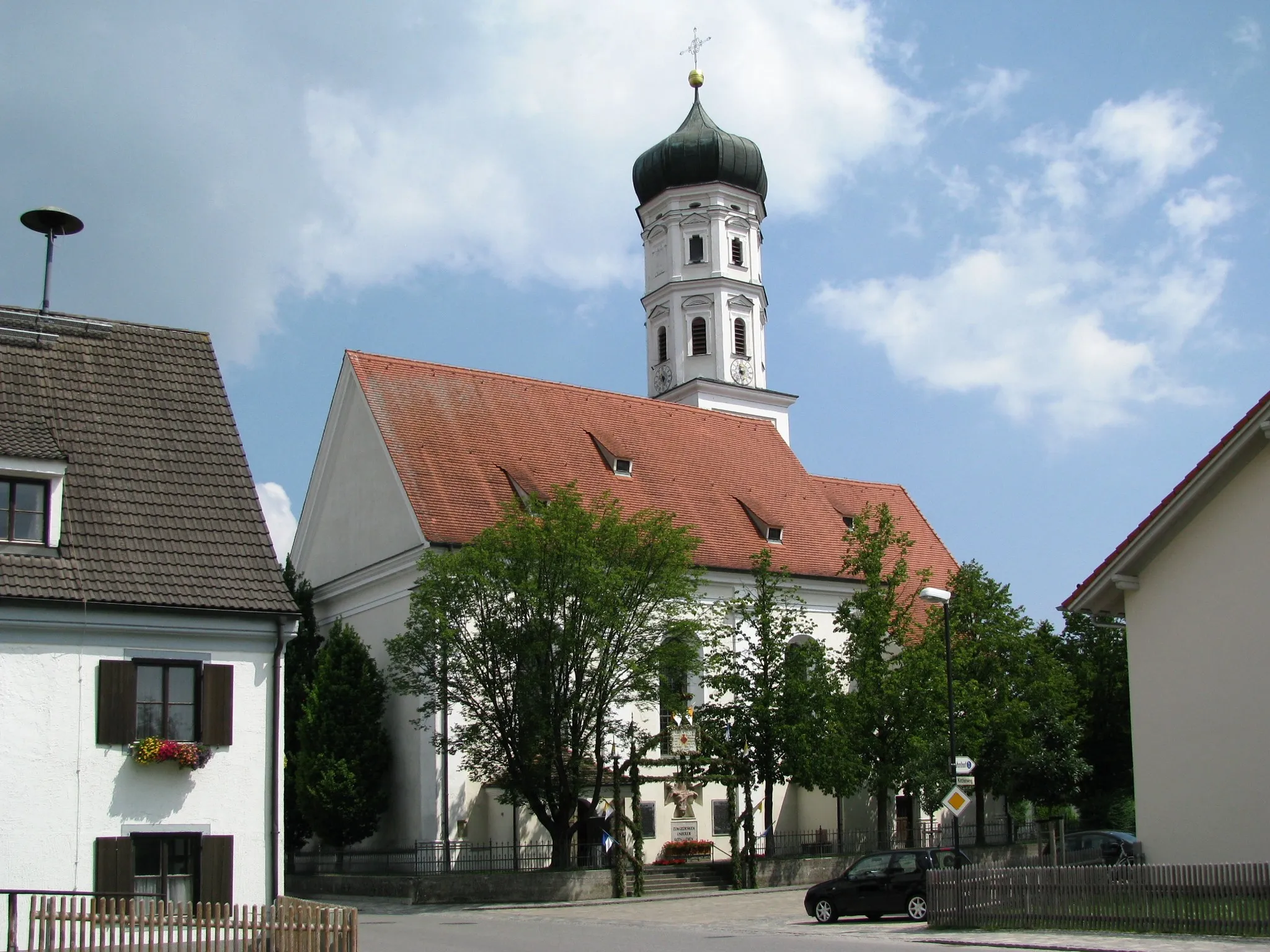
VilgertshofenVillagePass through Vilgertshofen and discover its rich history and cultural heritage.
41 km
41 km
Finish: Reichling Village centerReichling: A charming locality for road and gravel cyclists in Oberbayern, Germany.
Cycling routes nearby: