Quiet routes in rural Oberbayern
Cycling routes from Gachenbach
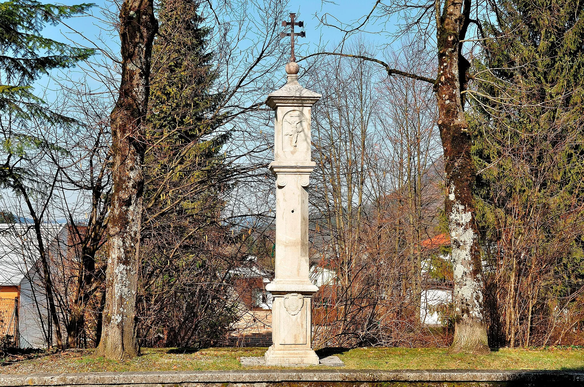
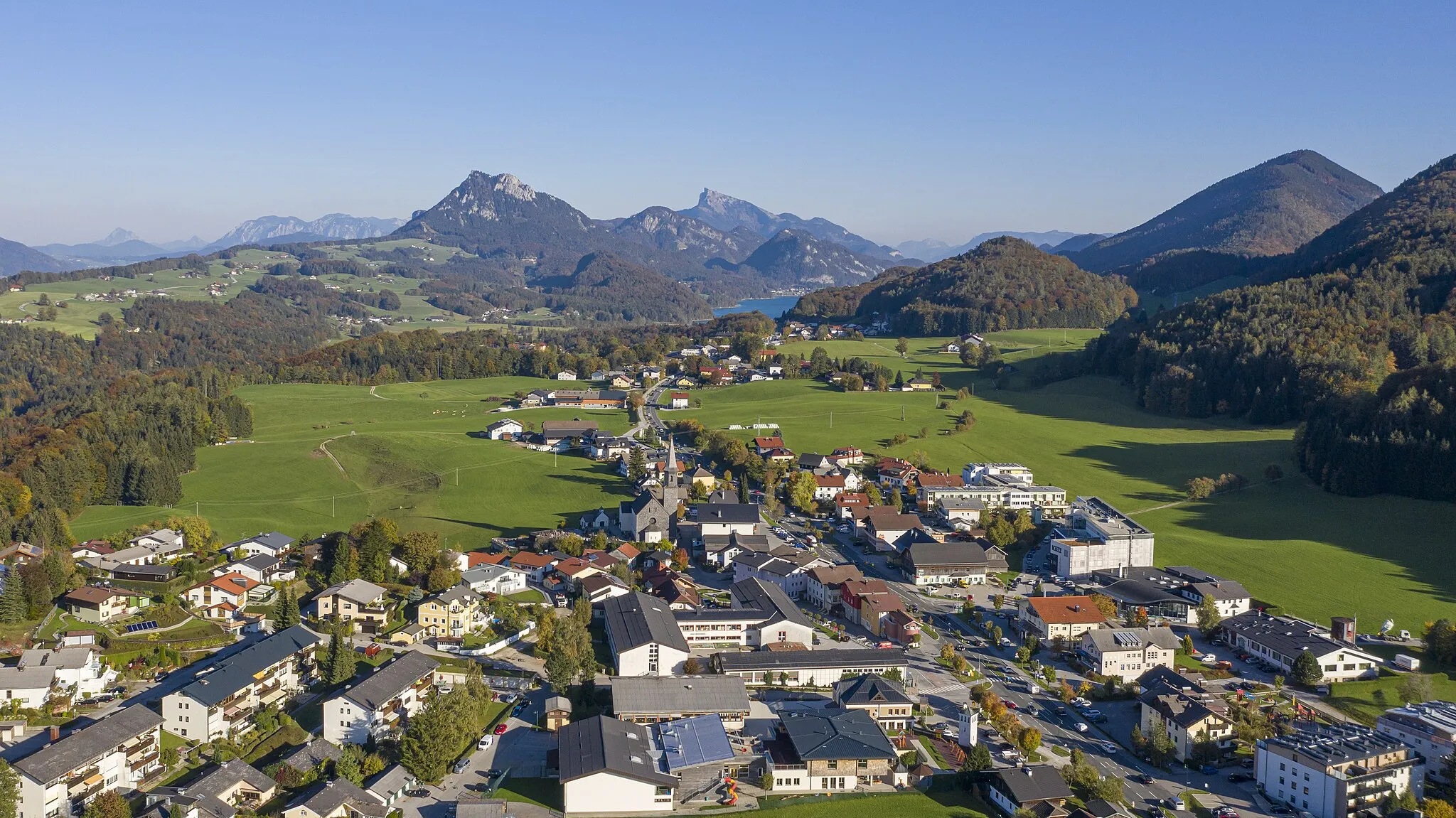
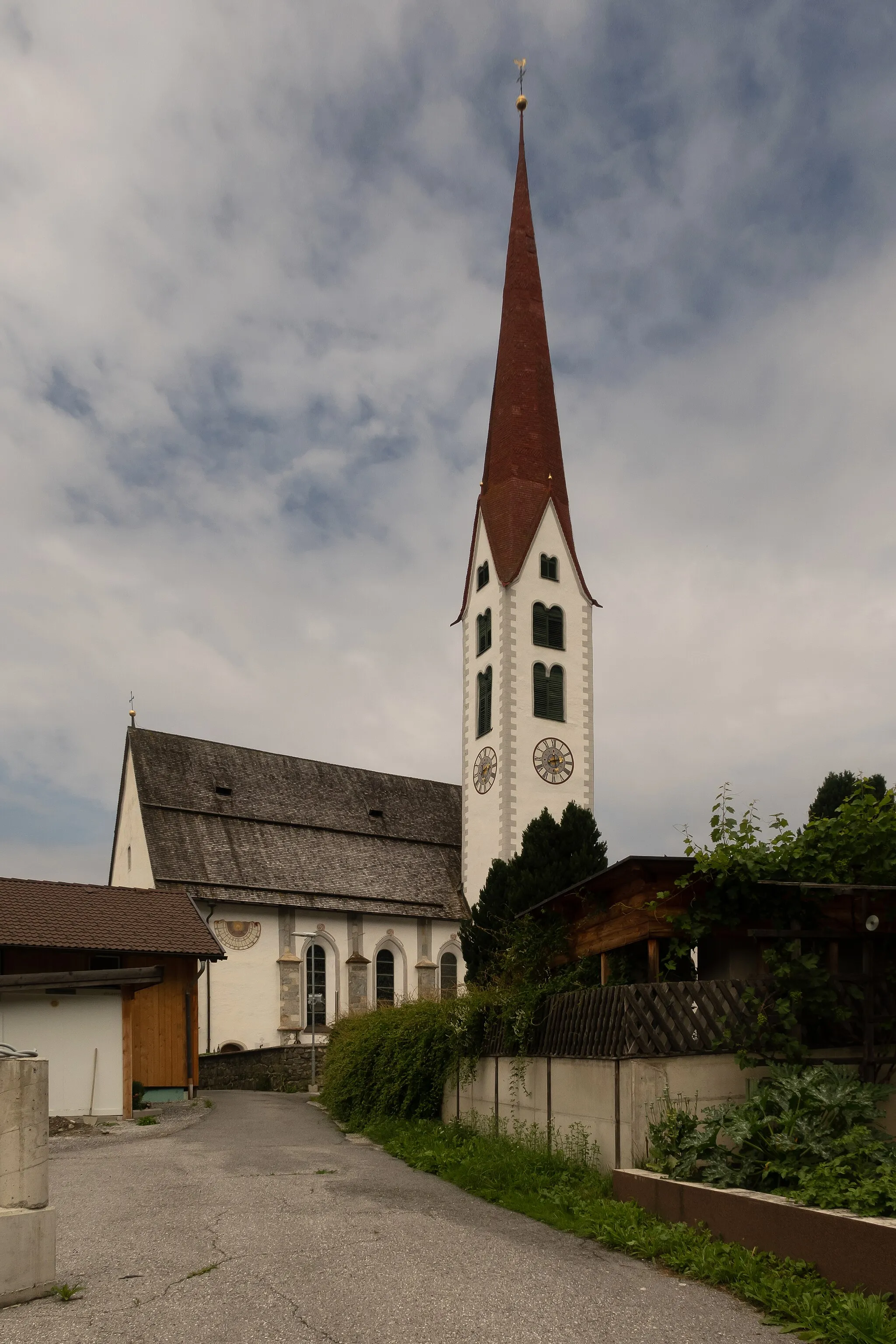
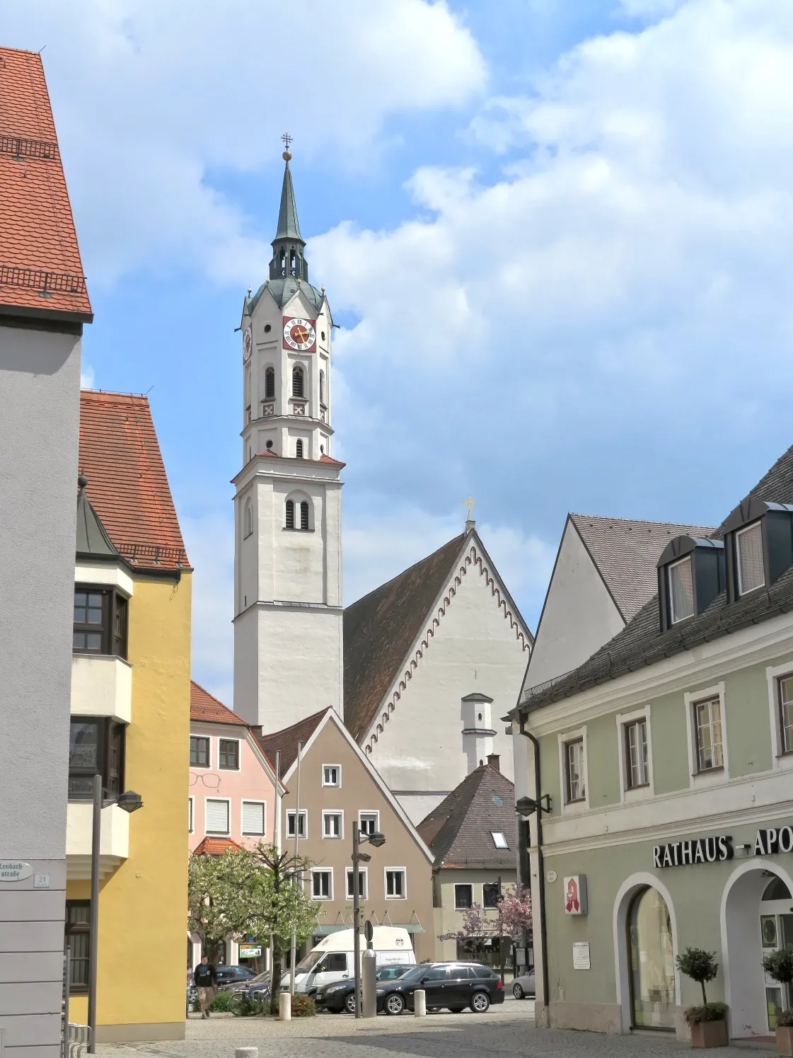
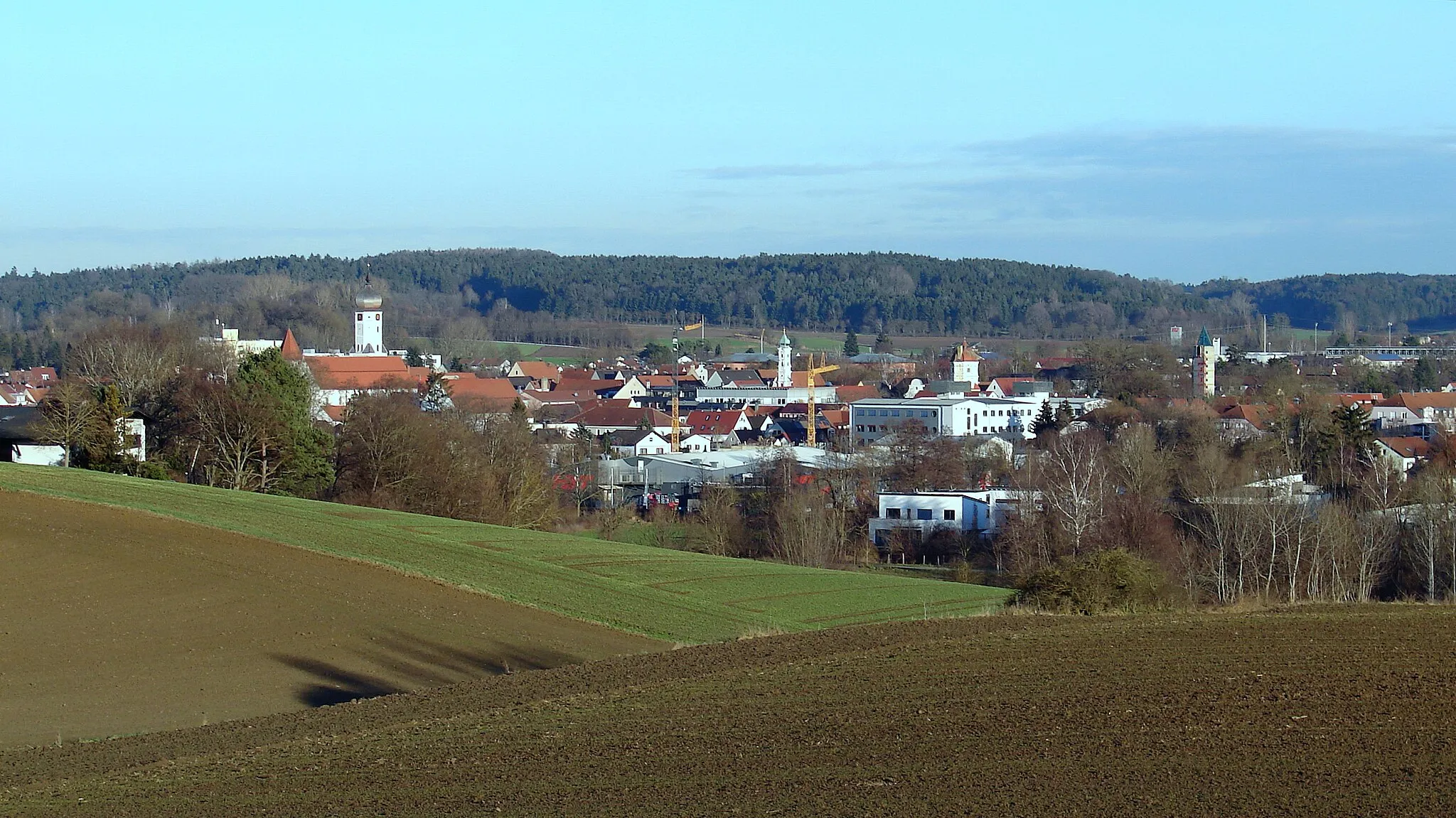
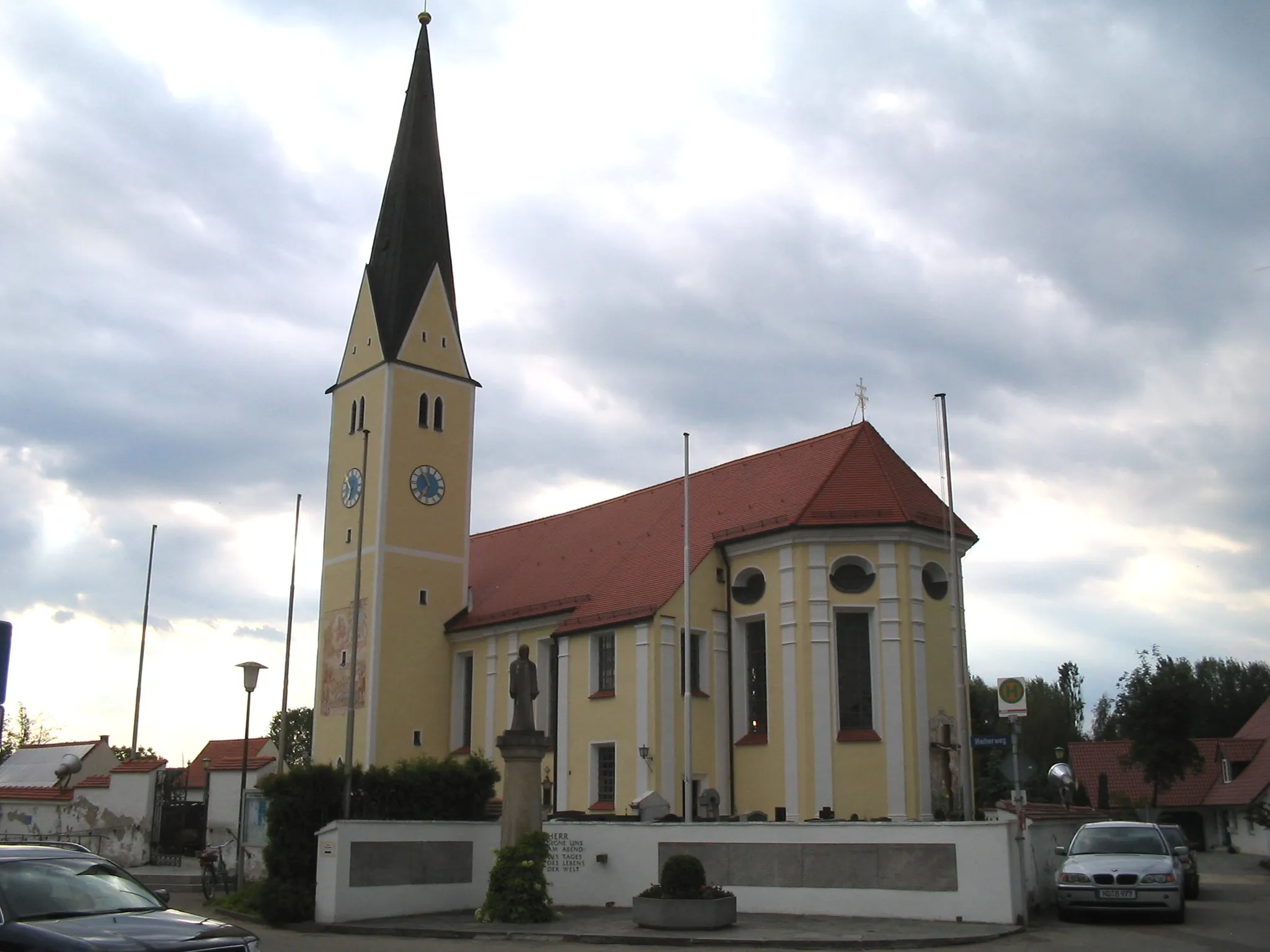
Gachenbach is a small town located in Oberbayern region of Germany, offering limited cycling opportunities for road and gravel cyclists. The town has some quiet roads and scenic countryside, but it lacks cycling infrastructure and popular cycling routes. While Gachenbach can be a decent base for leisurely rides and exploring the surrounding rural areas, it may not be ideal for more experienced cyclists looking for challenging climbs or well-known cycling spots. Overall, Gachenbach is suitable for leisure cyclists who prefer quieter routes and a relaxed pace.

Embark on an exciting off-road cycling adventure through Gachenbach's surrounding gravel roads.
The Gachenbach Gravel Adventure is a 61 km gravel cycling route starting near Gachenbach. This off-road ride takes cyclists through the beautiful gravel roads of Oberbayern, with a total ascent of 510 meters. It offers a mix of challenging terrain and scenic landscapes. Highlights of the route include Beinberg, Aresing, Hettenshausen, Jetzendorf, and Alberzell.
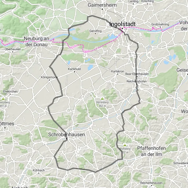
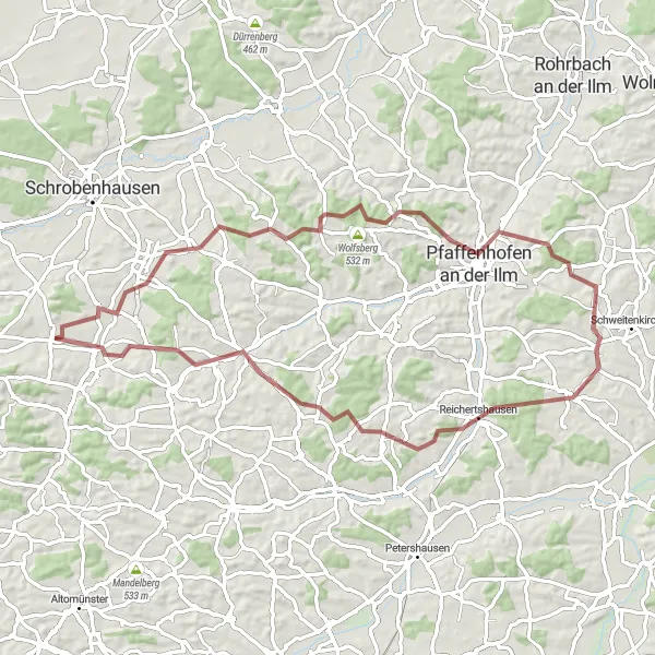
Cycle through the scenic landscapes of Oberbayern on this 101 km road cycling route.
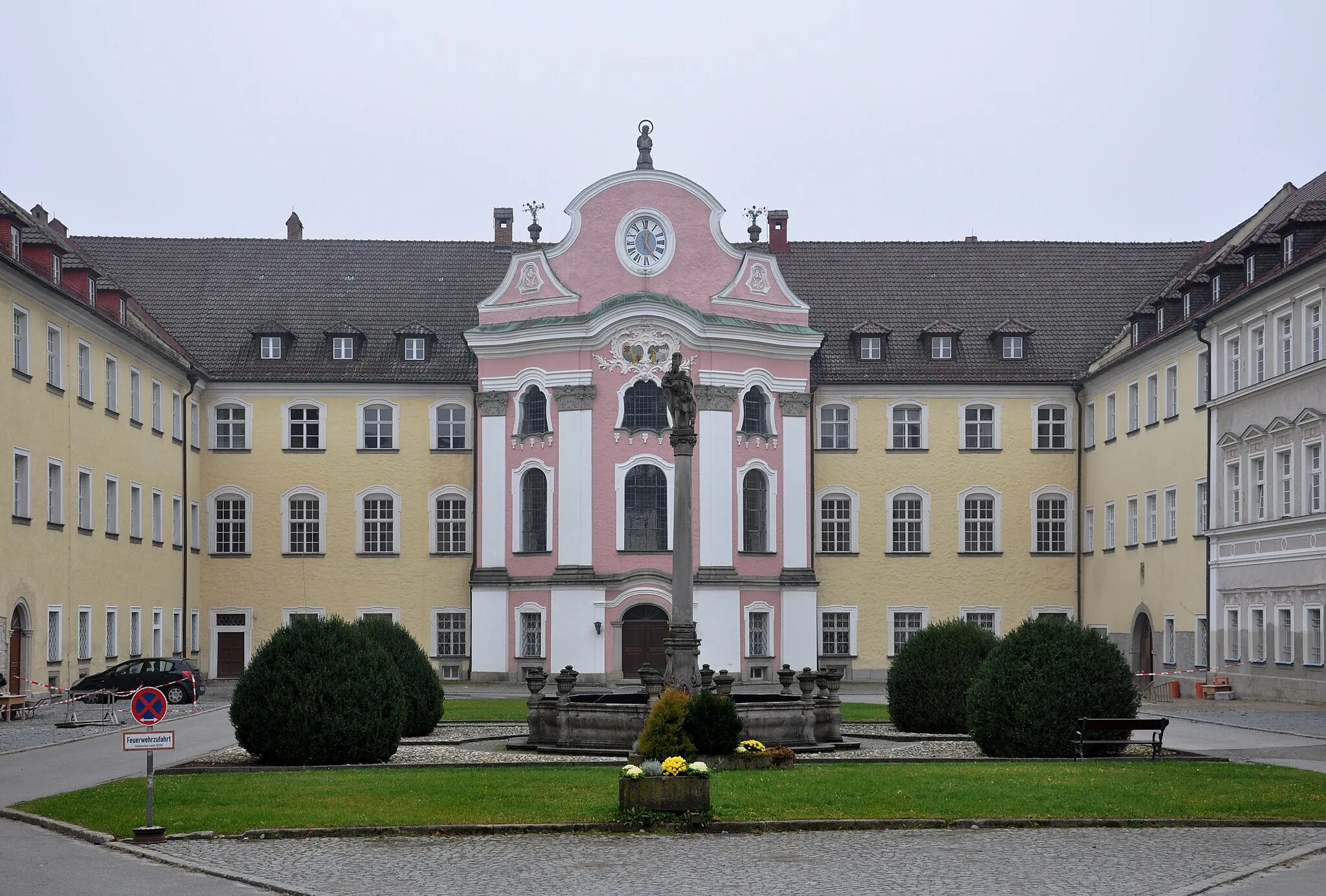
Embark on a road cycling journey through the stunning landscapes of Oberbayern, offering breathtaking views and challenging terrain. With a total ascent of 478 meters, this route is suitable for well-trained amateur cyclists. The varied terrain includes flat sections, rolling hills, and thrilling descents. Highlights along the way include the picturesque village of Beinberg, the historic town of Schrobenhausen with its charming architecture, and the famous Pfeifturm, a 16th-century observation tower offering panoramic views. Overall, this route is a perfect combination of natural beauty, cultural heritage, and exhilarating cycling challenges.
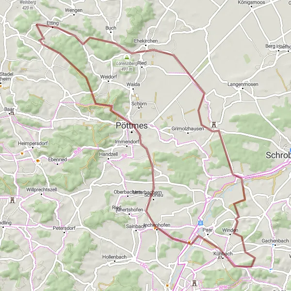
Explore the rural beauty of Inchenhofen and Oberschönbach on this 66 km gravel ride.
Embark on a gravel ride through the scenic countryside of Inchenhofen and Oberschönbach, offering stunning views and captivating landscapes. With a total ascent of 654 meters, this route is suitable for intermediate to advanced riders. The diverse terrain features rolling hills, picturesque farmlands, and charming villages. Highlights along the way include the Galgenberg, offering panoramic views of the surrounding landscapes, and the charming village of Ehekirchen with its well-preserved historic buildings. Overall, this ride provides an enjoyable mix of nature, culture, and tranquility.
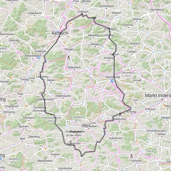
Explore the challenging Aichach and conquer the legendary Reitersberg on this thrilling road route
Prepare yourself for a memorable cycling journey on this 74-kilometer road route that will test your endurance and offer stunning panoramic views. As you tackle the challenging ascent of 610 meters, you'll be rewarded with breathtaking landscapes and iconic landmarks. Suitable for well-trained amateur cyclists, this route combines physical exertion with scenic beauty. Aichach and Reitersberg are renowned among cycling enthusiasts for their epic climbs, making this an unforgettable adventure for riders seeking a thrilling challenge.
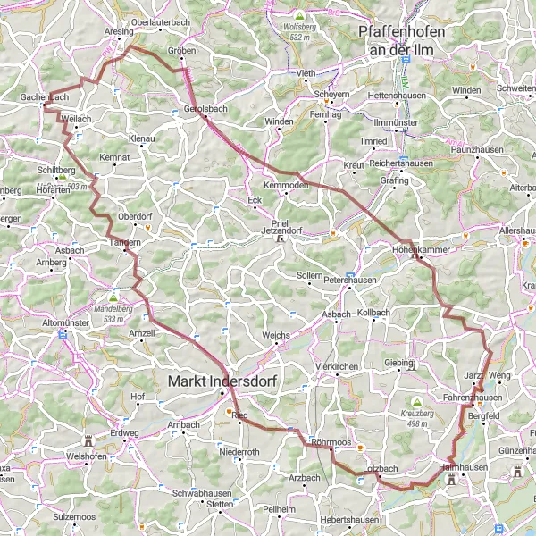
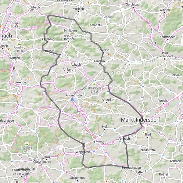
Experience the rural charm of Bavaria on this scenic gravel ride from Beinberg to Ottelsburg.
This 89 km gravel ride takes you through picturesque countryside and charming villages, offering a true taste of rural Bavaria. With a total ascent of 796 meters, the route provides plenty of opportunities to challenge yourself. The terrain varies from rolling hills to flat stretches, making it suitable for intermediate to advanced riders. Highlights along the way include the historic market town of Markt Indersdorf and the Ottelsburg, a medieval castle atop a hill with stunning views. Overall, this route offers a perfect mix of natural beauty and cultural heritage.
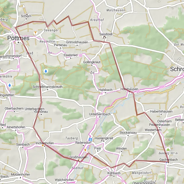
Embark on a thrilling gravel adventure through the scenic landscapes of Kühbach.
The Kühbach Gravel Loop covers 42 km of off-road cycling routes starting near Gachenbach. It offers cyclists the opportunity to explore the rugged terrain and beautiful landscapes surrounding Kühbach. With a total ascent of 317 meters, this route is suitable for cyclists of varying skill levels. Highlights along the route include Kühbach, Pöttmes, Galgenberg, Sandizell, and Beinberg.
Oberndorf Circuit
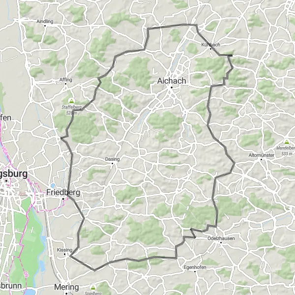
Embark on an adventure through the enchanting countryside of Oberndorf.
The Oberndorf Circuit covers 87 km of scenic road cycling routes starting near Gachenbach. It offers cyclists a chance to explore the idyllic landscapes of Oberbayern, with a total ascent of 804 meters. This route is suitable for experienced cyclists who enjoy moderate to challenging rides. Some of the highlights along the route include Oberndorf, Goldberg, Kissing, Friedberg, Steinberg, Hollenbach, and Kühbach.
Kühbach Loop
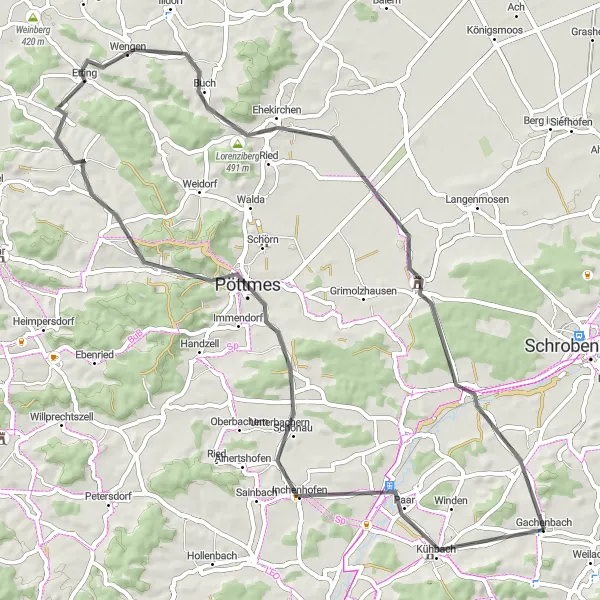
Embark on an exhilarating cycling adventure exploring the scenic landscapes of Kühbach.
The Kühbach Loop is a 65 km road cycling route starting near Gachenbach. It offers breathtaking views of the Kühbach region and its surrounding natural beauty. With a total ascent of 519 meters, the ride is suitable for intermediate cyclists. The highlights of the route include Kühbach, Inchenhofen, Galgenberg, Wengen, Lorenziberg, Ehekirchen, Sandizell, and Beinberg.
Discover the beauty of Gachenbach and its surroundings on this gravel cycling adventure.
This distinctive gravel cycling route starting near Gachenbach in Oberbayern, Germany offers a challenging yet rewarding experience. With a total distance of 70 kilometers and an ascent of 996 meters, cyclists can expect a varied terrain and picturesque surroundings. The route takes you through charming villages, rolling hills, and scenic countryside.
Mittelham Loop
Discover the charming village of Mittelham on this scenic cycling route.
The Mittelham Loop is a 65 km road cycling route starting near Gachenbach. This route offers beautiful views of the Oberbayern countryside and passes through several picturesque villages along the way. With a total ascent of 662 meters, the ride provides enough challenge for intermediate cyclists. The highlights of the route include Langenpettenbach, Arnbach, Unterweikertshofen, Salzberg, Thalhausen, and Oberschönbach.
Cycling routes nearby:

Nearby regions: