Kühbach Gravel Loop
A gravel cycling route starting from Gachenbach
Embark on a thrilling gravel adventure through the scenic landscapes of Kühbach.
Map
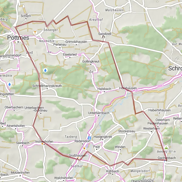
The Kühbach Gravel Loop covers 42 km of off-road cycling routes starting near Gachenbach. It offers cyclists the opportunity to explore the rugged terrain and beautiful landscapes surrounding Kühbach. With a total ascent of 317 meters, this route is suitable for cyclists of varying skill levels. Highlights along the route include Kühbach, Pöttmes, Galgenberg, Sandizell, and Beinberg.
gravel
42 km
317 m
Chill
Route profile
Highlights on the route
0 km
0 km
Start: Gachenbach Village centerGachenbach: Quiet routes in rural Oberbayern
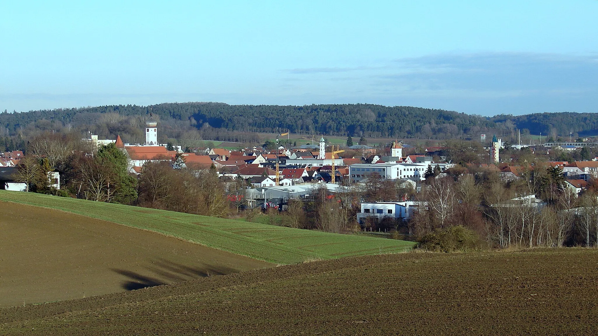
Gachenbach is a small town located in Oberbayern region of Germany, offering limited cycling opportunities for road and gravel cyclists. The town has some quiet roads and scenic countryside, but it lacks cycling infrastructure and popular cycling routes. While Gachenbach can be a decent base for leisurely rides and exploring the surrounding rural areas, it may not be ideal for more experienced cyclists looking for challenging climbs or well-known cycling spots. Overall, Gachenbach is suitable for leisure cyclists who prefer quieter routes and a relaxed pace.4 km
4 km
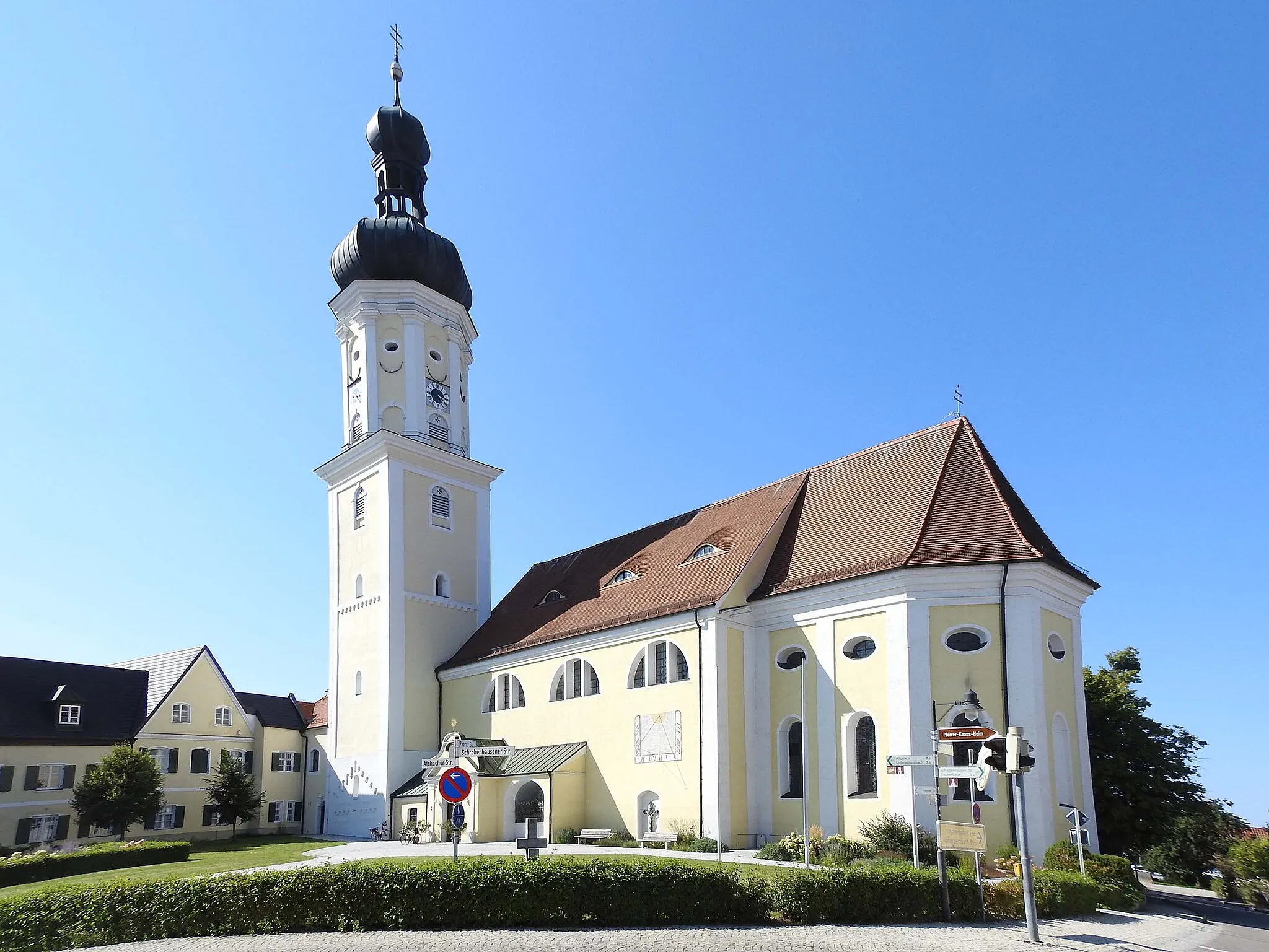
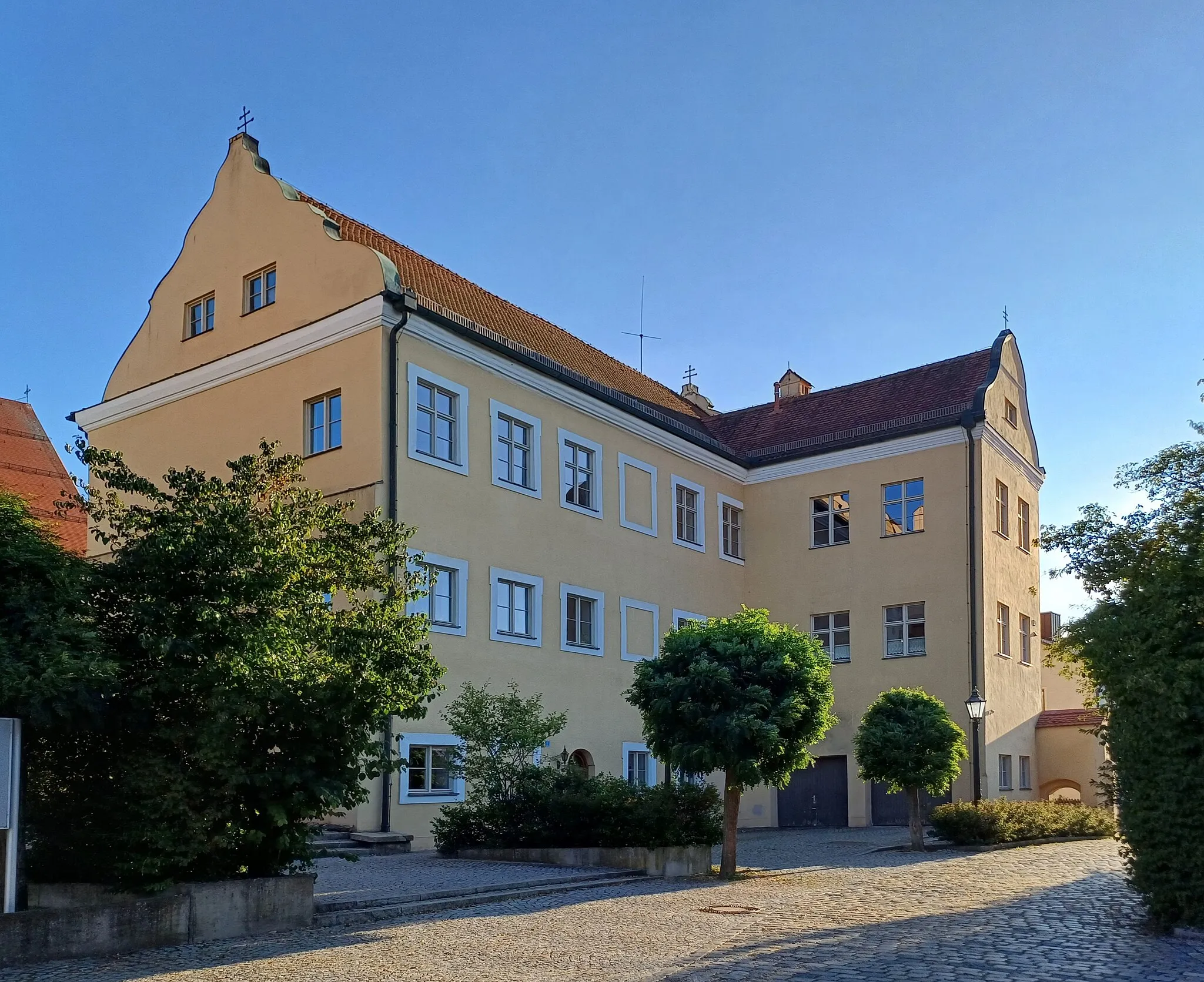
KühbachVillageKühbach, a traditional Bavarian village, serves as the perfect starting point for this gravel adventure.
20 km
20 km
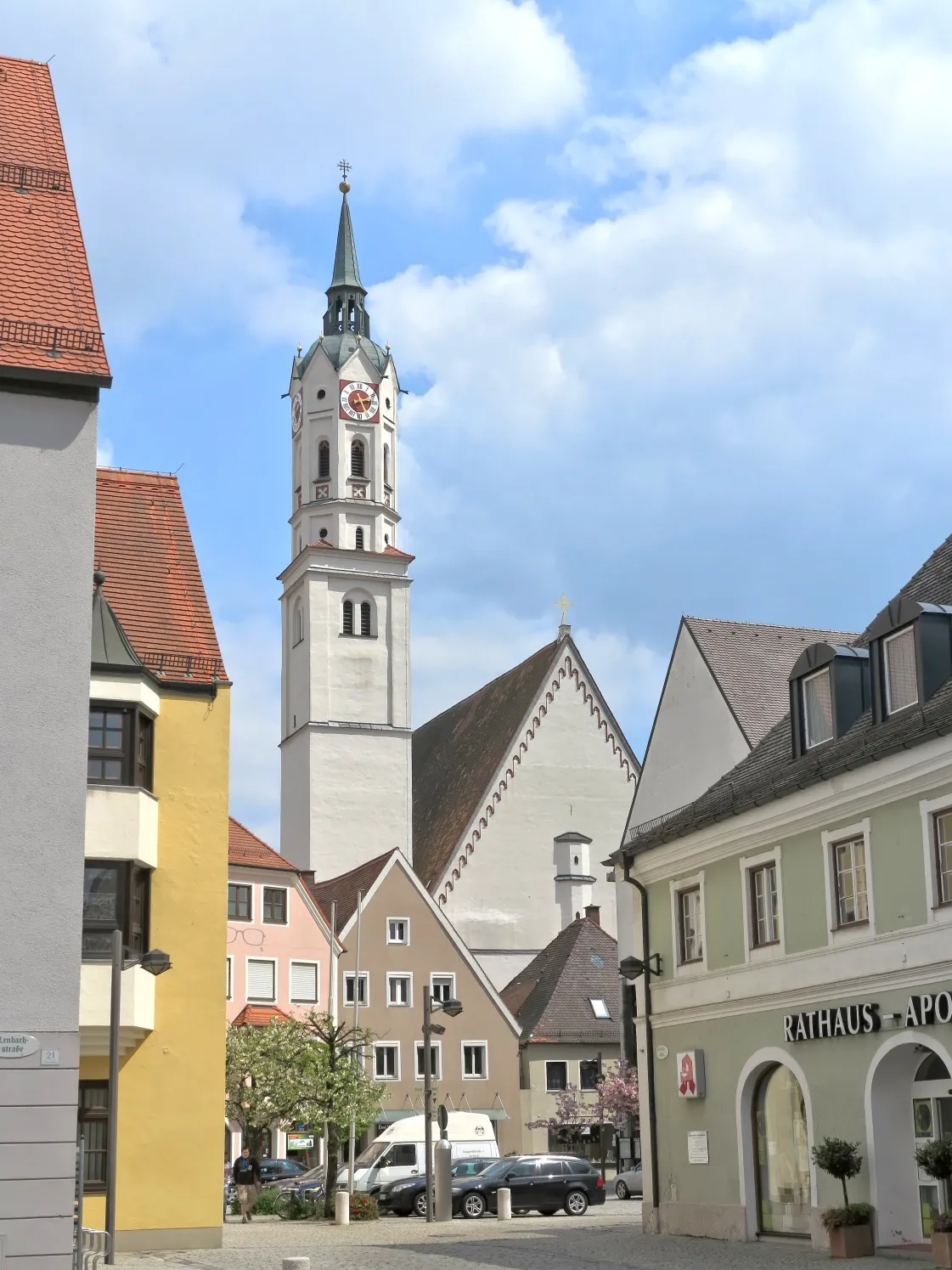
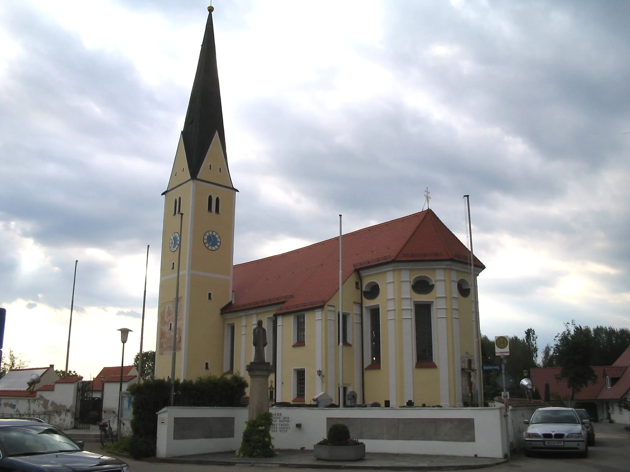
PöttmesTownPöttmes is known for its well-preserved medieval castle, which provides a glimpse into the region's rich history.
21 km
21 km
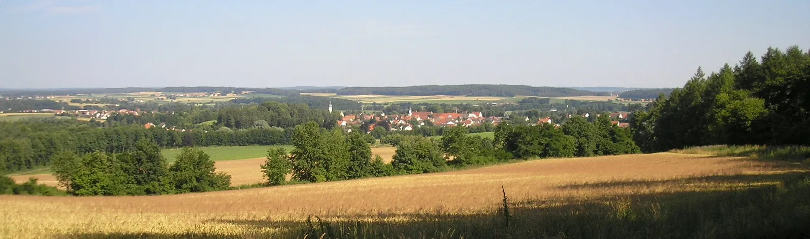
GalgenbergViewpointGalgenberg offers breathtaking views of the surrounding countryside and is a popular spot for photography.
30 km
30 km
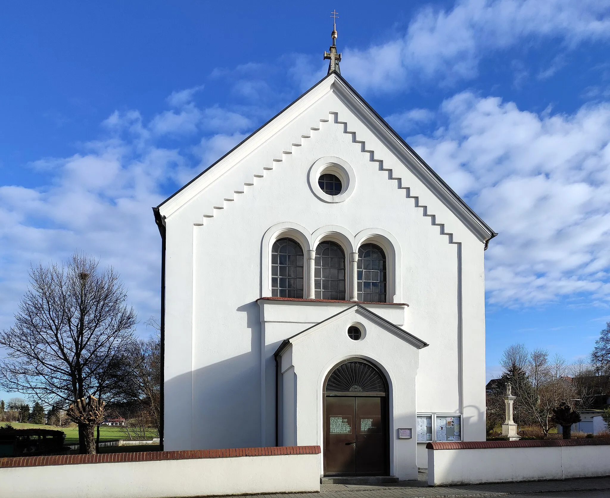
SandizellVillageSandizell is home to the Sandizell Castle, a historic landmark in the region.
41 km
41 km
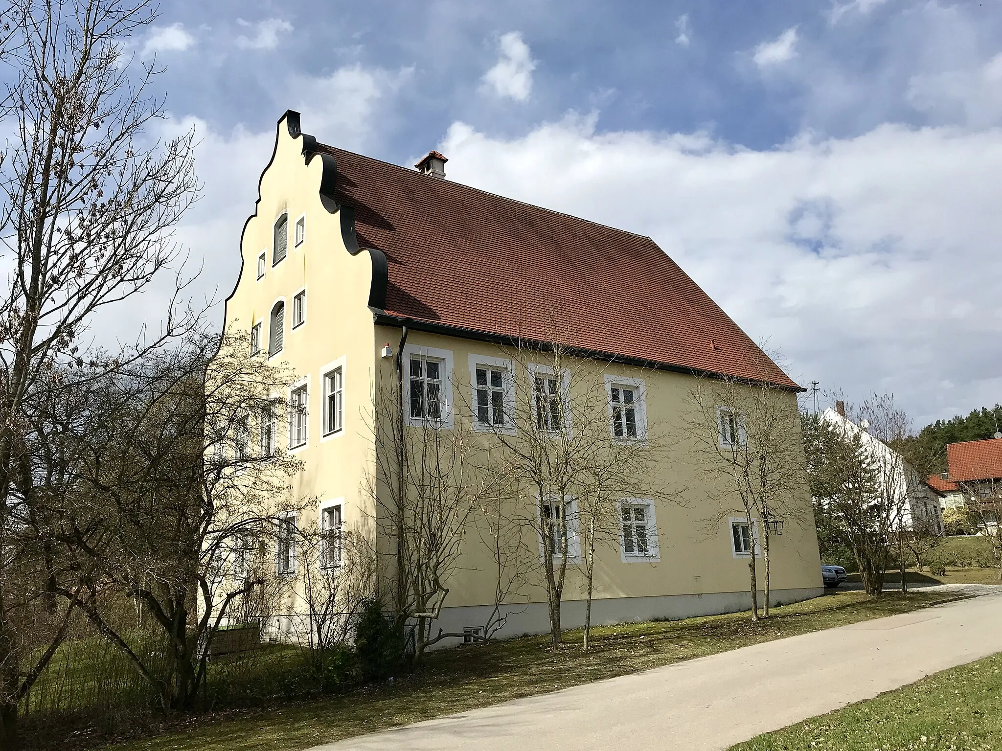
Beinberg501 mPeakBeinberg, a picturesque village surrounded by forests and rolling hills, is a cycling paradise.
42 km
42 km
Finish: Gachenbach Village centerGachenbach: Quiet routes in rural Oberbayern
Cycling routes from Gachenbach:
Aichach and Reitersberg Road Route Gachenbach Gravel Adventure Beinberg to Ottelsburg Gravel Ride Oberndorf Circuit Beinberg and Waidhofen Gravel Route Kühbach Gravel Loop Mittelham Loop Gravel Ride through Inchenhofen and Oberschönbach Kühbach Loop Scenic Road Cycling in Oberbayern Beinberg and Beyond Gravel Cycling Route
Cycling routes nearby: