Kiefersfelden - Vorderthiersee - Reinhardsberg - Ursprungpass - Spitzingsee - Spitzingsattel - Bayrischzell - Großer Mühlberg - Nußlberg - Kiefersfelden
A gravel cycling route starting from Kiefersfelden
Experience the stunning beauty of Oberbayern on this challenging gravel cycling route.
Map
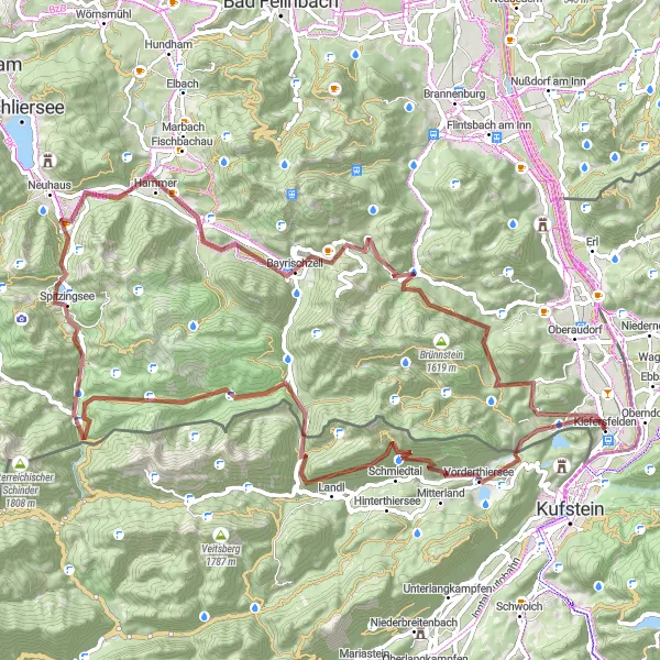
This round-trip gravel cycling route starting near Kiefersfelden takes you on a journey through the picturesque landscape of Oberbayern. With a total ascent of 2617 meters and covering a distance of about 85 kilometers, this route offers a challenging adventure for experienced cyclists. The route includes highlights such as Vorderthiersee, Reinhardsberg, Ursprungpass, Spitzingsee, Spitzingsattel, Bayrischzell, Großer Mühlberg, Nußlberg, and returns back to Kiefersfelden.
gravel
85 km
2617 m
Tough
Route profile
Highlights on the route
0 km
0 km
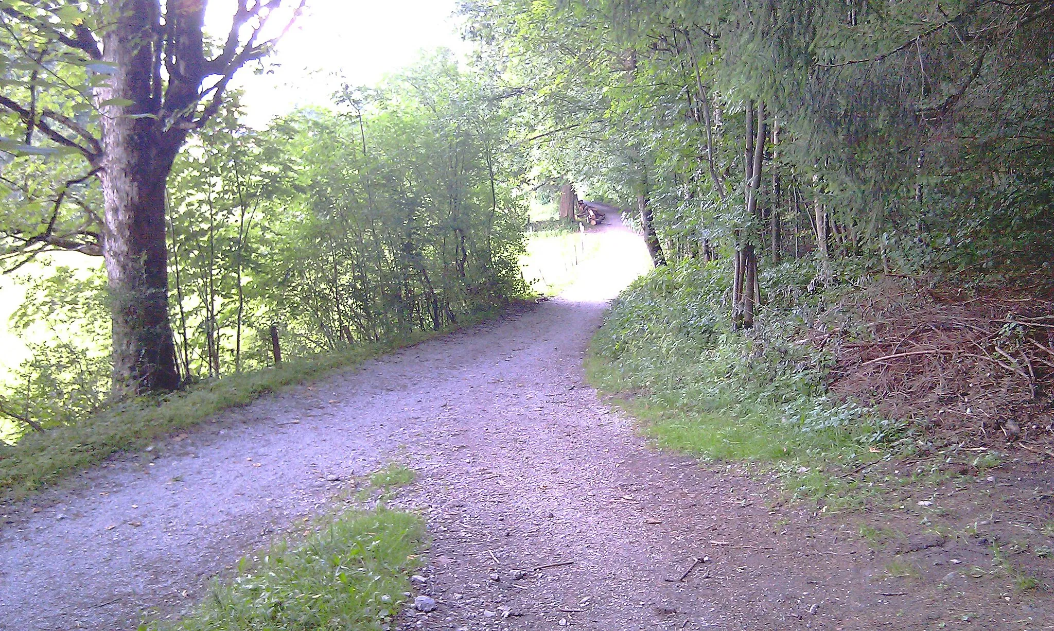
Start: Kiefersfelden Village centerKiefersfelden: Picturesque town in Oberbayern with scenic routes for road and gravel cycling.
Kiefersfelden is a small town located in Oberbayern, Germany. From a cyclist's perspective, the town offers a range of picturesque routes and well-maintained bike paths. The surrounding countryside is characterized by rolling hills and beautiful landscapes, making it an ideal location for road and gravel cycling. One notable cycling spot nearby is the popular Wallenberg Climb, which attracts cyclists with its challenging ascent. With its scenic routes and pleasant atmosphere, Kiefersfelden provides cyclists with an enjoyable riding experience.7 km
7 km
VorderthierseeVillageVorderthiersee is a beautiful lake located near the route. Take a break and enjoy the scenic surroundings before continuing your ride.
13 km
13 km
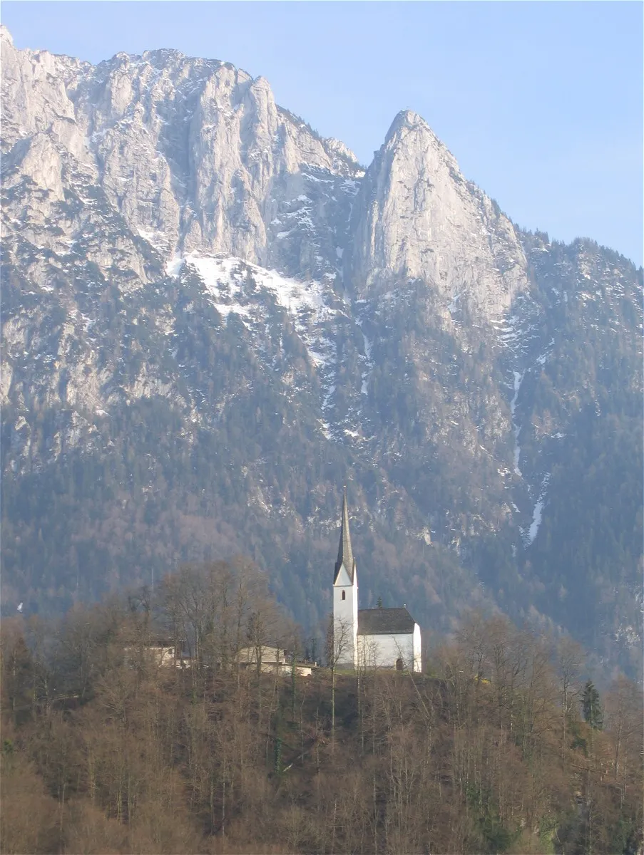
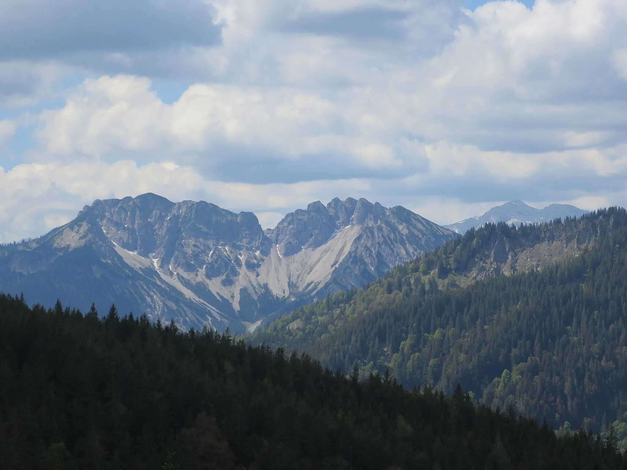
Reinhardsberg1400 mPeakReinhardsberg is a popular viewpoint offering breathtaking panoramic views of the surrounding mountains. It's worth stopping by to admire the stunning landscape.
22 km
22 km
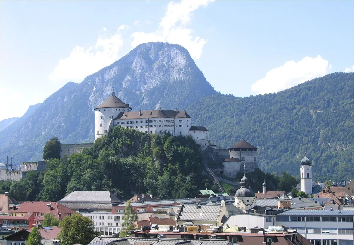
Ursprungpass836 mMountain PassUrsprungpass is a challenging mountain pass that will test your climbing skills. Once you reach the top, you'll be rewarded with amazing views.
42 km
42 km
SpitzingseeVillageSpitzingsee is a crystal-clear alpine lake surrounded by lush greenery. Take a moment to soak in the peaceful atmosphere.
44 km
44 km
Spitzingsattel1130 mMountain PassSpitzingsattel is a mountain pass located at an elevation of 1129 meters. It offers stunning views and is often included in professional cycling races.
61 km
61 km
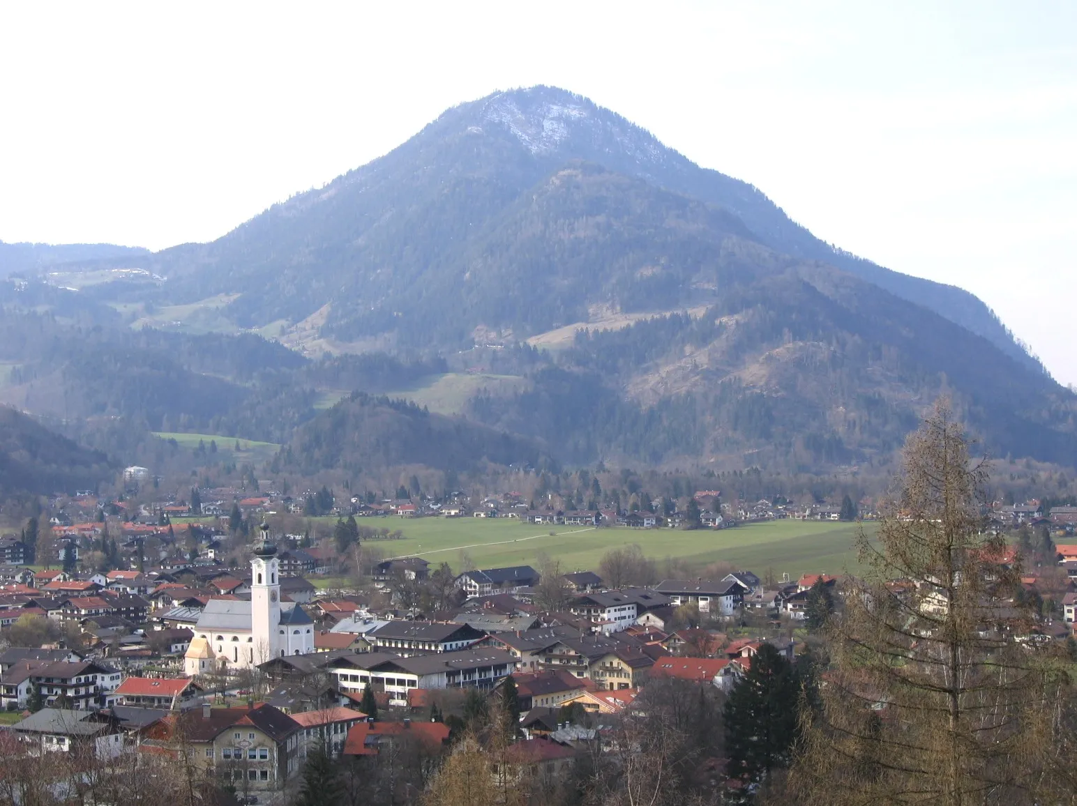
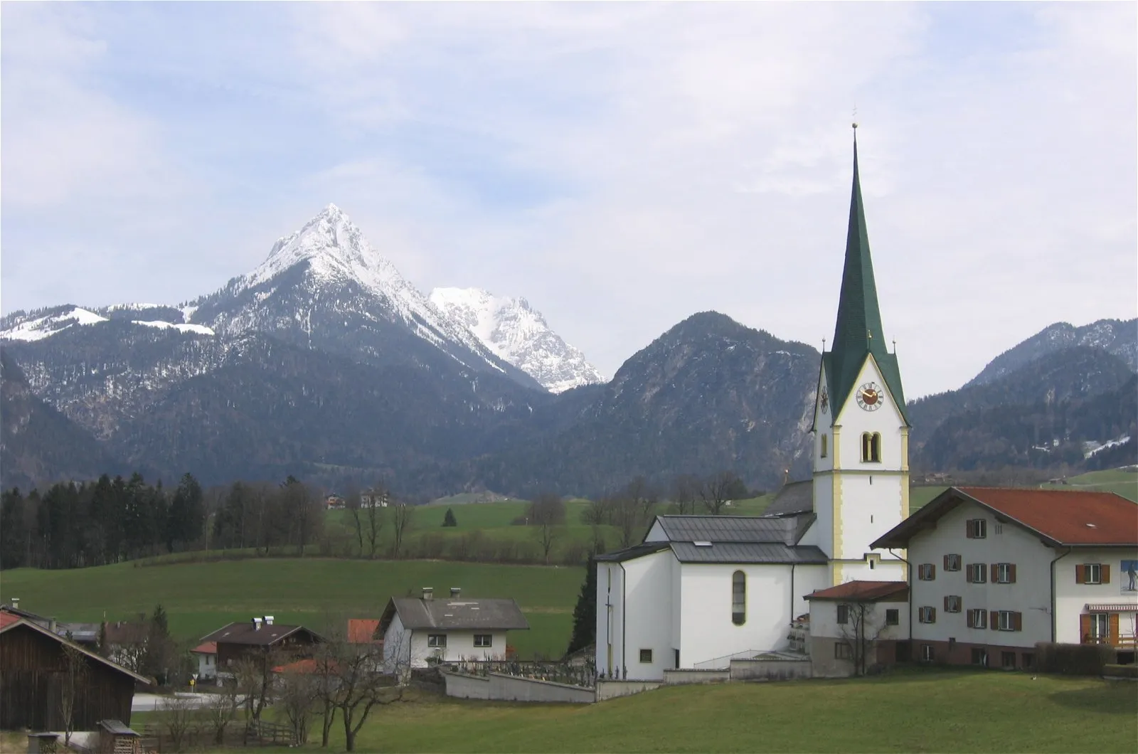
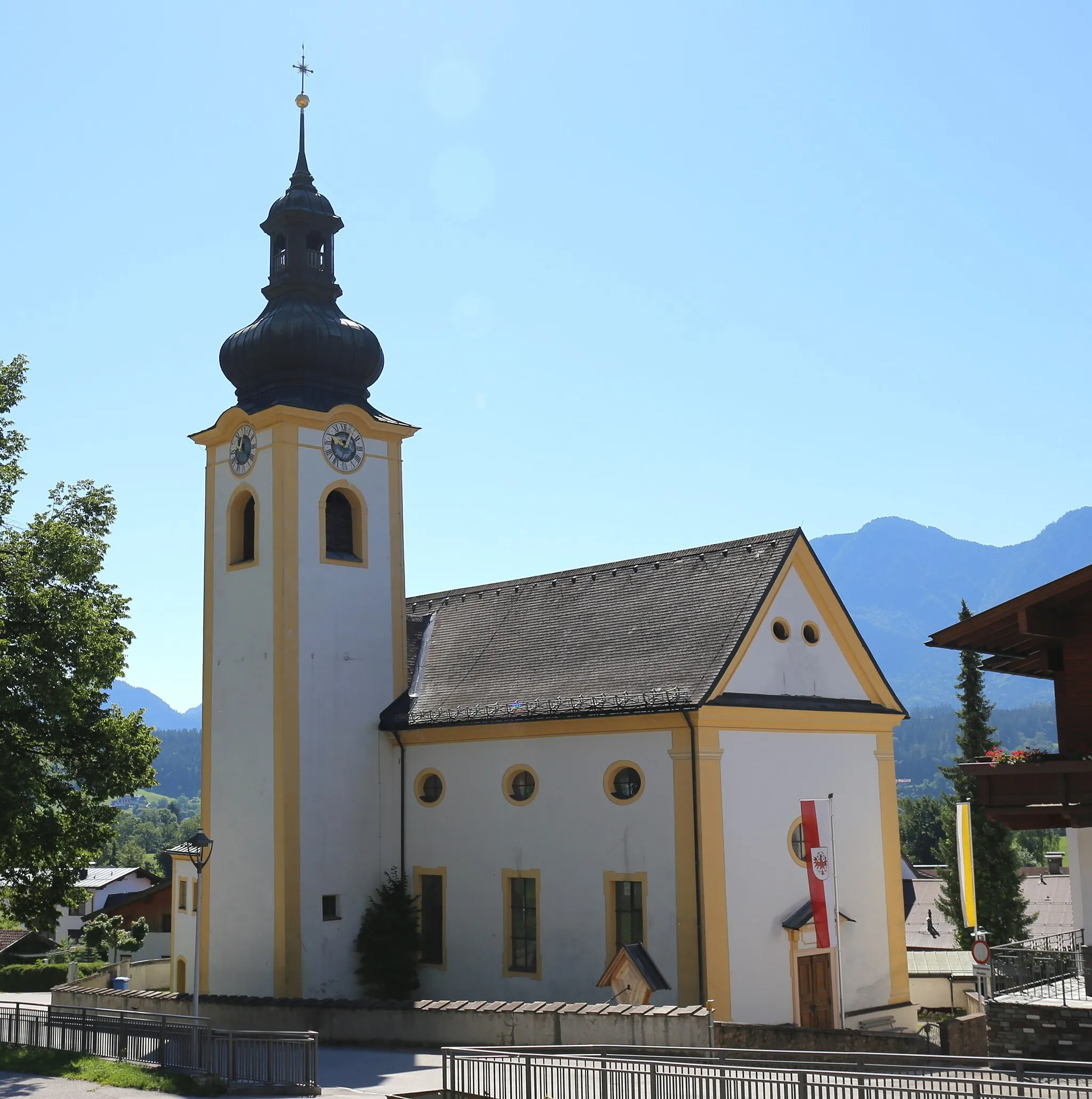
BayrischzellVillageBayrischzell is a charming alpine village with traditional Bavarian architecture. Explore its picturesque streets and grab a bite to eat in one of the local restaurants.
67 km
67 km
Großer Mühlberg1222 mPeakGroßer Mühlberg is a small hill that provides a slight challenge along the route. Enjoy the climb and the beautiful scenery around you.
82 km
82 km
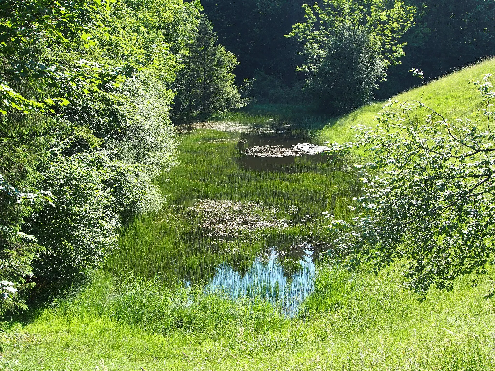
Nußlberg868 mPeakNußlberg is a scenic area known for its idyllic forests and rolling hills. Take a moment to appreciate the natural beauty of this part of Oberbayern.
85 km
85 km
KiefersfeldenVillageKiefersfelden is the starting and ending point of the route. It serves as a gateway to the stunning cycling routes of Oberbayern.
85 km
85 km
Finish: Kiefersfelden Village centerKiefersfelden: Picturesque town in Oberbayern with scenic routes for road and gravel cycling.
Cycling routes from Kiefersfelden:
Alpine Road Cycling Experience in Tirol Scenic Road Cycling Tour in Kufstein Bavarian Alps Road Cycling Route Mountainous Majesty: Kiefersfelden to Schloss Urfahrn Mountain Escape - Gravel Cycling in Oberbayern Scenic Gravel Adventure in the Bavarian Alps Bavarian Hills Road Adventure The Sweet Trail: Kiefersfelden to Ursprungpass Florianiberg Ascend: Kiefersfelden to Thierberg Scenic Serenity: Buchberg to Rain Kiefersfelden - Vorderthiersee - Reinhardsberg - Ursprungpass - Spitzingsee - Spitzingsattel - Bayrischzell - Großer Mühlberg - Nußlberg - Kiefersfelden
Cycling routes nearby: