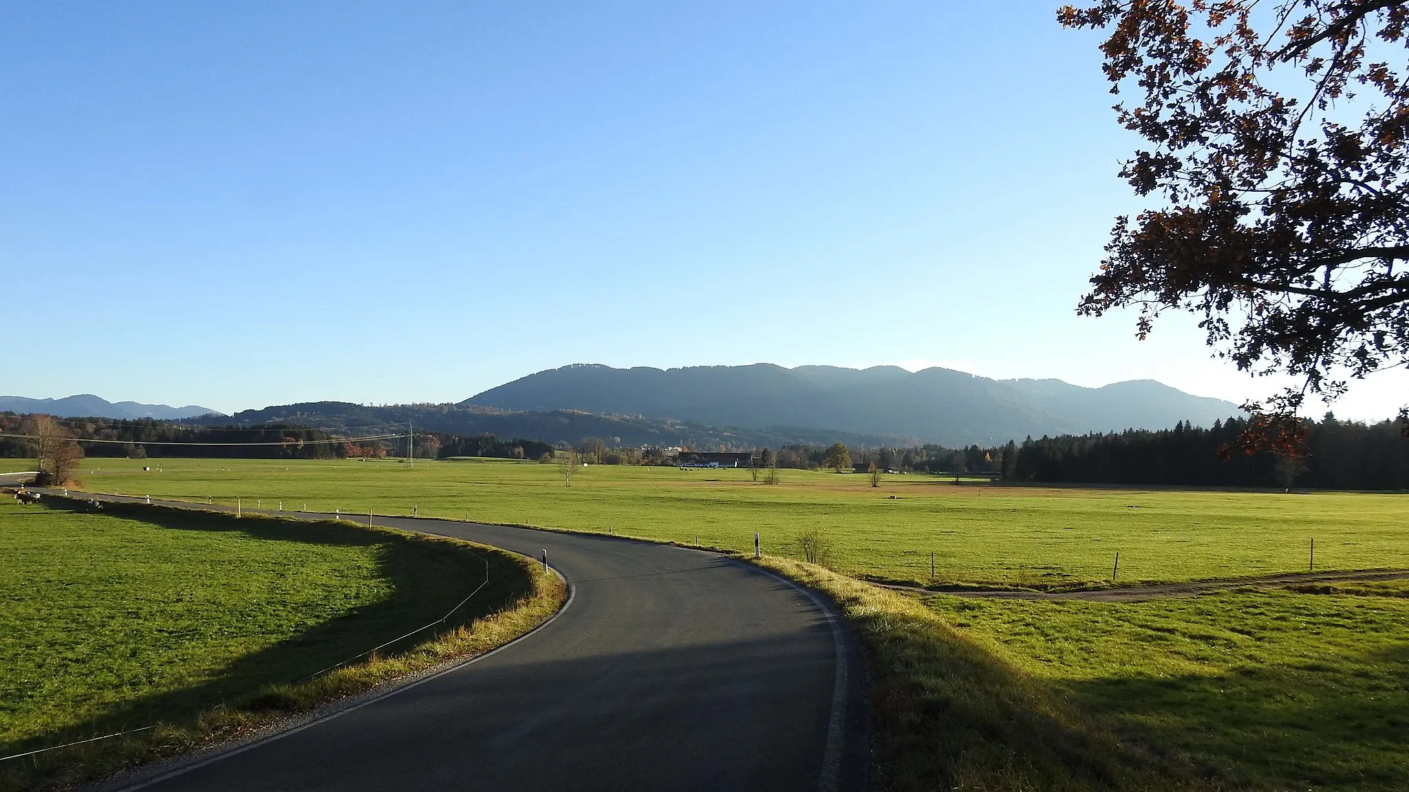
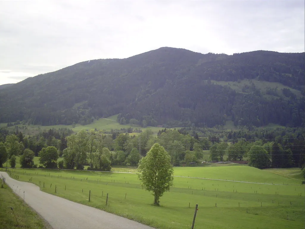
Cycling paradise in Oberbayern, Germany.
Cycling routes from Konigsdorf
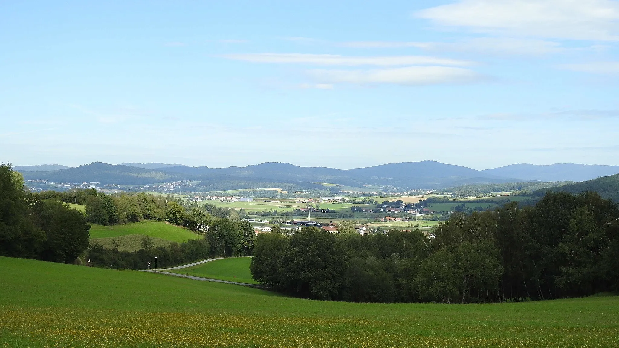
Königsdorf in Oberbayern, Germany is a great locality for cycling. The region offers a mix of flat roads and hilly terrain, providing opportunities for both leisurely rides and challenging climbs. One of the notable cycling spots near Königsdorf is the Sylvensteinsee reservoir, which offers stunning views and a pleasant cycling route. Another popular route in the area is the Kochelsee loop, which takes cyclists around the picturesque Kochelsee lake. Königsdorf also serves as a gateway to the Bavarian Alps, where more adventurous cyclists can tackle iconic climbs such as the Sudelfeld pass.
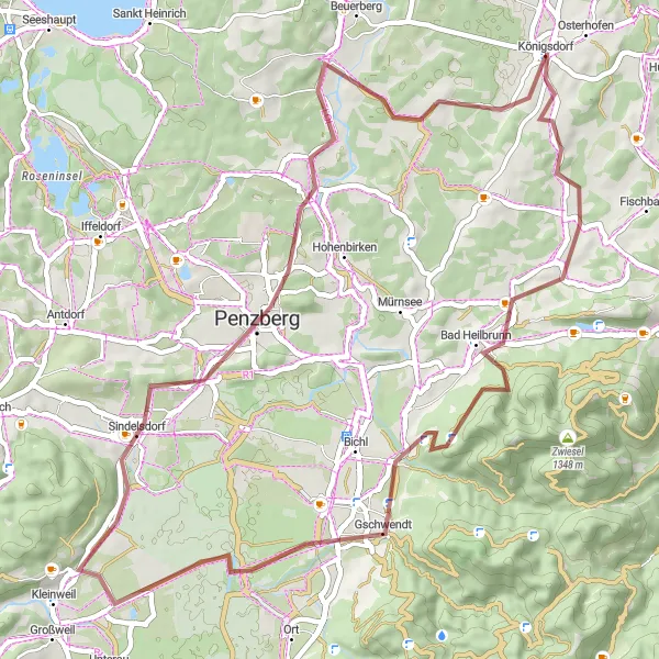
A scenic gravel route with highlights such as Bad Heilbrunn and Enzenauer Kopf
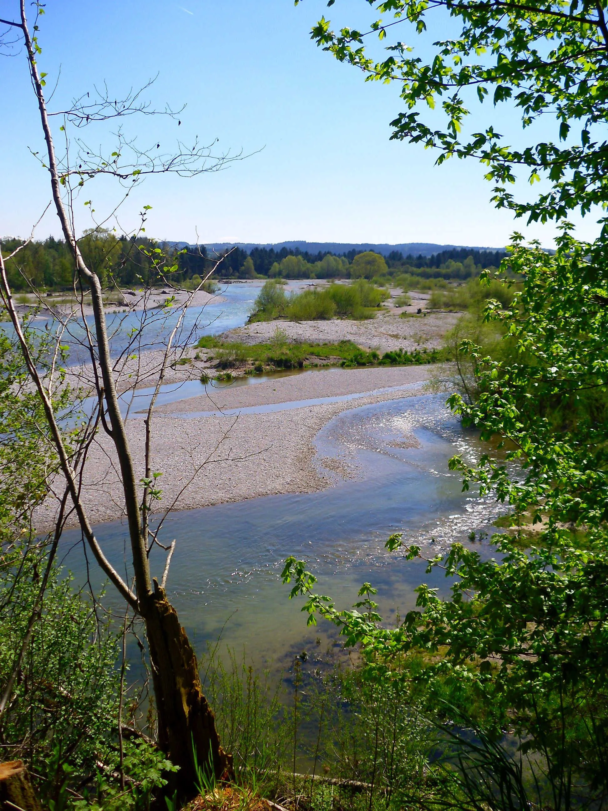
This 55 km gravel route takes you through picturesque villages and provides stunning views of the surrounding mountains. With 671 m of ascent, it offers a moderately challenging ride suitable for experienced cyclists. Don't miss the highlight of the route - Bad Heilbrunn, known for its healing mineral springs. Another highlight is Enzenauer Kopf, which offers panoramic views of the Bavarian Alps. Overall, this route promises a memorable cycling experience.
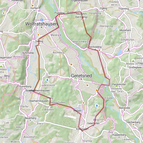
Escape to the tranquil countryside on this 36 km gravel loop near Königsdorf
This 36 km gravel loop is perfect for those seeking a tranquil ride amidst the rural landscapes of Bavaria. With an ascent of 345 m, it offers a moderate challenge suitable for cyclists of various skill levels. Don't miss the highlight of the route - Babenstuben, a picturesque village that exudes Bavarian charm. Puppling is another highlight, where you can admire traditional farmhouses and enjoy the peaceful ambiance. Overall, this route promises a peaceful and scenic cycling experience in the heart of rural Bavaria.
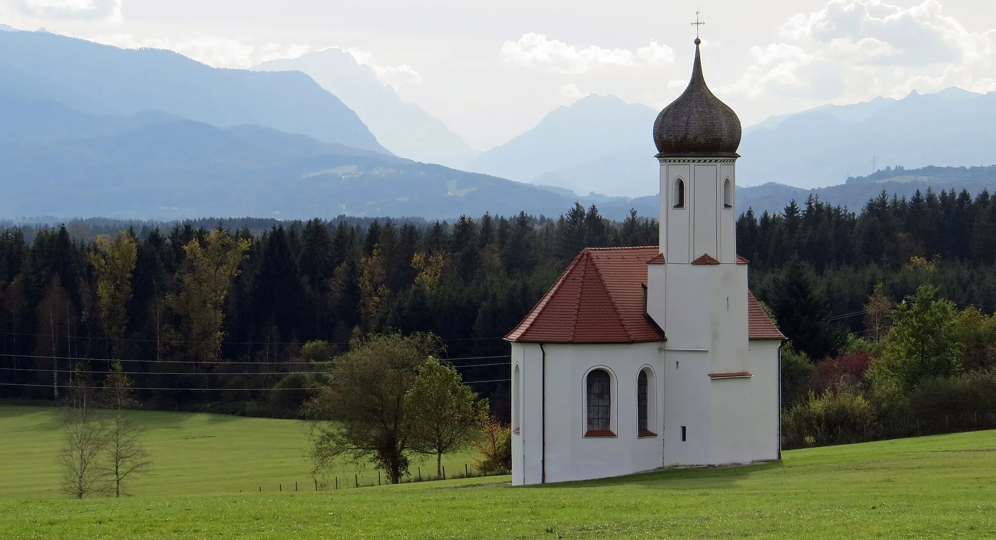
Bavarian Alps Adventure
A thrilling road cycling route through the Bavarian Alps
The Bavarian Alps Adventure is a thrilling road cycling route that takes you through the majestic Bavarian Alps. With a distance of 122 km and an elevation gain of 1586 meters, this route is ideal for well-trained amateur cyclists seeking an epic challenge. Starting near Königsdorf, the route passes through highlights like Bad Tölz, Lenggries, and Hinterriß, offering diverse landscapes and awe-inspiring views. Cycling enthusiasts can enjoy sweeping mountain panoramas, picturesque alpine villages, and challenging climbs. It is a perfect route to experience the natural beauty and alpine charm of Oberbayern while testing your cycling skills.
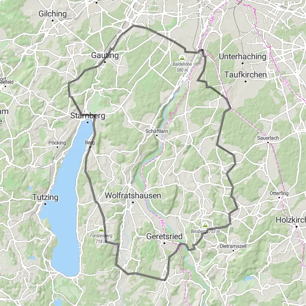
A scenic road cycling route around Lake Starnberg
The Lake Starnberger Tour is a picturesque road cycling route that takes you around the stunning Lake Starnberg. Starting near Königsdorf, this 100 km route offers breathtaking views of the lake, charming towns, and a challenging ascent. With an elevation gain of 896 meters, it is suitable for well-trained amateur cyclists looking for a rewarding challenge. The route passes through highlights like Fürstenberg, Münsing, and Gauting, offering delightful spots to take a break and soak in the surrounding natural beauty. The Lake Starnberger Tour promises a memorable cycling experience in Oberbayern.
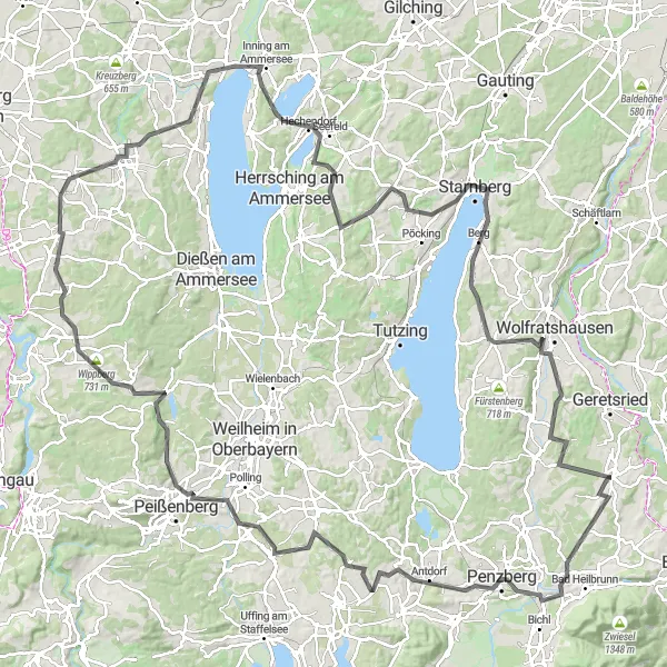
Explore the scenic beauty of Oberbayern on this challenging road cycling route
Embark on a exhilarating cycling adventure through the stunning landscape of Oberbayern. This route takes you on a challenging journey, with a significant ascent of 1,572 meters over a distance of 158 kilometers. You will ride through picturesque towns and villages, surrounded by rolling hills, forests, and panoramic views. Experience the rich history and culture of the region as you pass by highlights such as the Horn, Penzberg, Huglfing, Kreuzbichl, Wessobrunn, Wippberg, Finning, Eching, Untere Fischleite, Galgenbühl, Mausing, Bismarckturm Assenhausen, Münsing, Oberherrnhausen, and Königsdorf. Throughout the journey, you'll encounter challenging climbs and thrilling descents, making this an exceptional adventure for experienced cyclists.
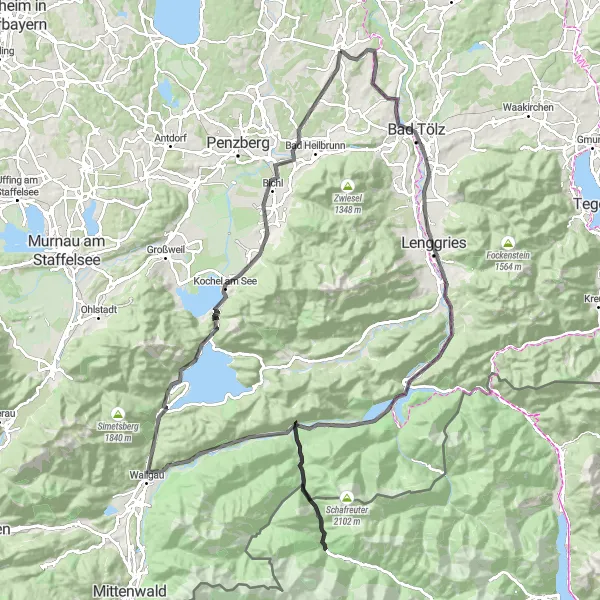
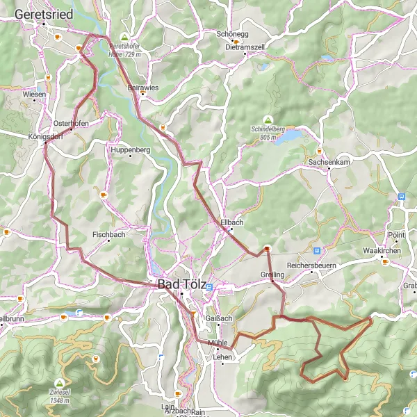
Embark on an epic 100 km gravel ride with stunning highlights along the way
This 100 km gravel route will push your limits with an ascent of 1554 m. Set in a picturesque landscape, this challenging ride offers stunning highlights that make it worthwhile. Don't miss the highlight of the route - Malerwinkel, a scenic view point with panoramic vistas of the surrounding mountains and lakes. Another noteworthy highlight is Dietramszell, a charming village surrounded by lush green meadows and rolling hills. Finish your ride at Bad Tölz, a town known for its well-preserved historic center and scenic beauty. With its epic distance and breathtaking highlights, this route is an adventure not to be missed.
Gravel Trails Discovery
An adventurous gravel cycling route through Oberbayern
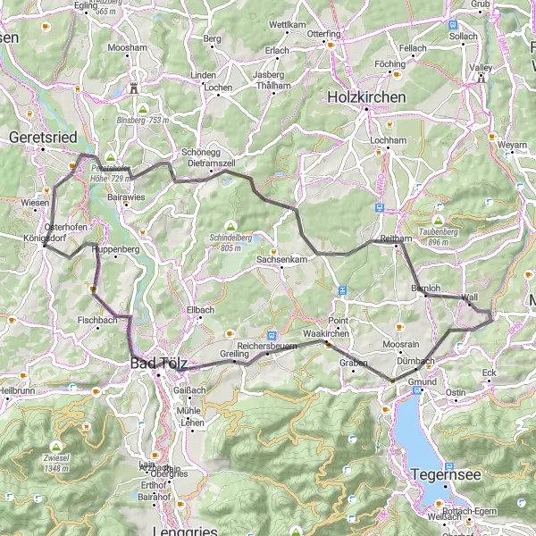
The Gravel Trails Discovery is an adventurous route that takes gravel cyclists on a thrilling ride through the picturesque landscapes of Oberbayern. Covering a distance of 58 km with an ascent of 1030 meters, this route offers a mix of gravel roads and scenic trails. Starting near Königsdorf, it features highlights like Malerwinkel and Rechelkopf, showcasing the region's natural beauty and providing an exciting off-road experience. The Gravel Trails Discovery is suitable for cyclists who enjoy exploration and seek to escape the traditional roads.
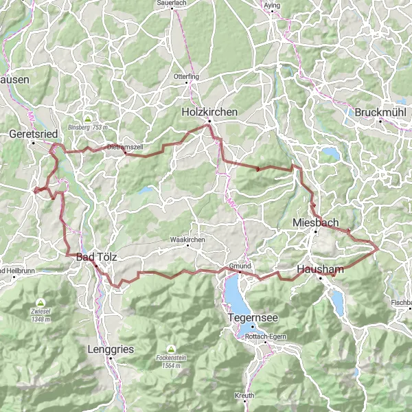
Experience thrilling climbs and stunning views on this 66 km road cycling adventure
This 66 km road cycling route will test your endurance as you conquer 853 m of ascent. Starting near Königsdorf, you'll ride through diverse landscapes and picturesque villages. Don't miss the highlight of the route - Peretshofer Höhe, where you'll experience a challenging climb coupled with breathtaking panoramic views. Other notable highlights include Dietramszell, known for its charming half-timbered houses, and Gmund, a charming lakeside town. With its mixture of challenging climbs and spectacular vistas, this route promises a memorable cycling adventure.
A scenic gravel cycling route through Bavarian villages
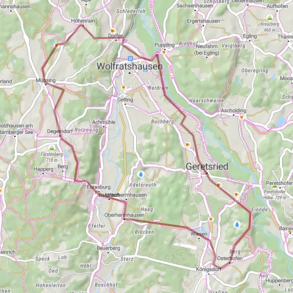
Experience the charm of Bavarian countryside on this scenic gravel cycling route. Covering a distance of 41 km with an ascent of 478 meters, this route is suitable for cyclists seeking a relaxed ride through charming villages. Starting near Königsdorf, the route passes through highlights like Eurasburg, Geretsried, and Wolfratshausen, offering picturesque landscapes and glimpses of local life. Enjoy the tranquility of the countryside on gentle gravel roads, connect with nature, and take in the idyllic surroundings. The Exploring the Bavarian Countryside route promises an enjoyable cycling experience away from the hustle and bustle of urban areas.
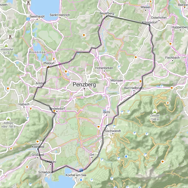
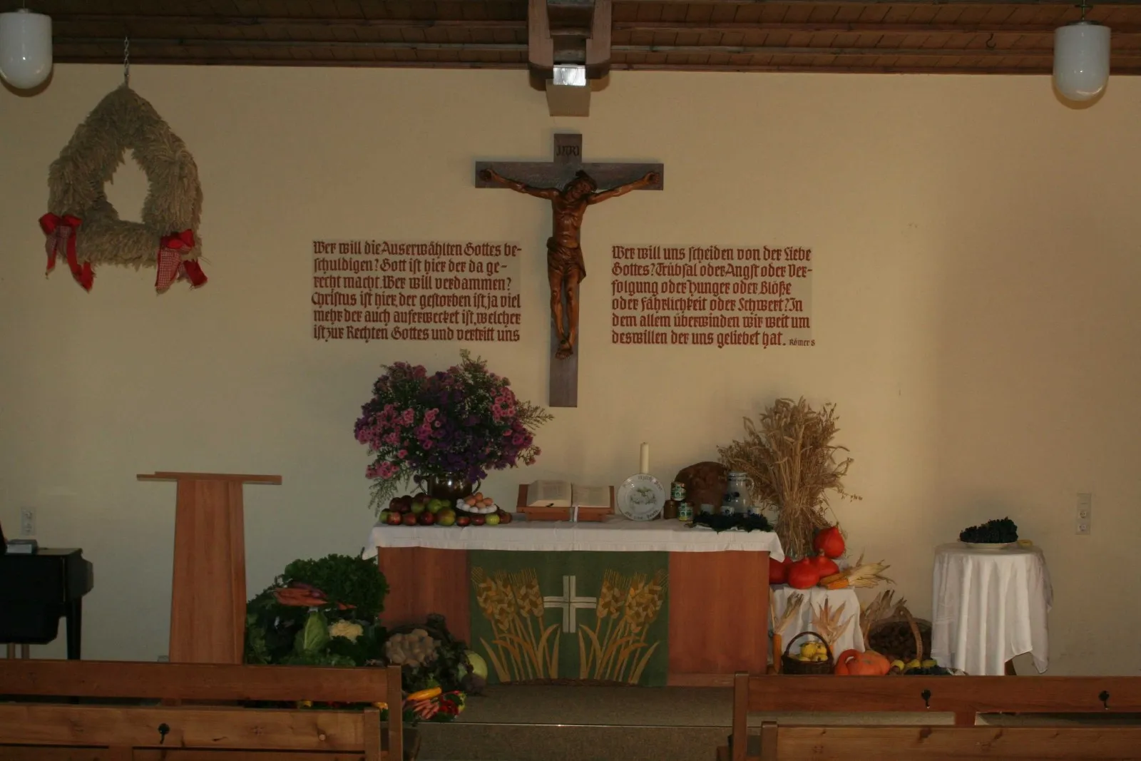
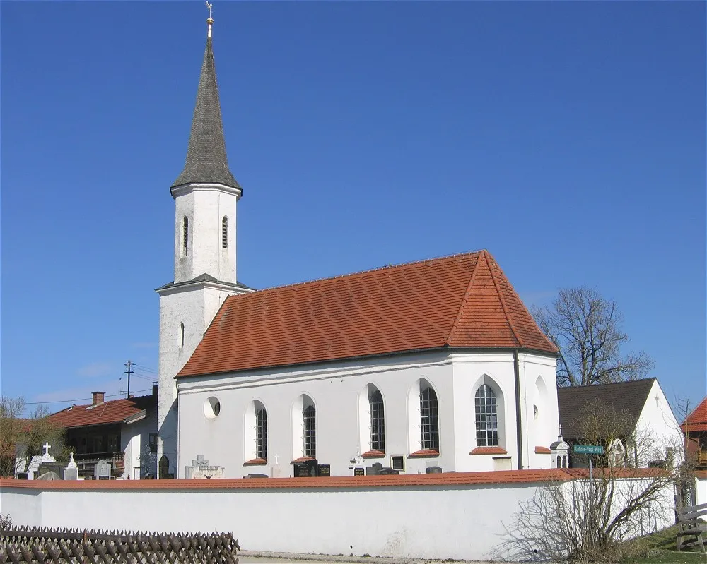
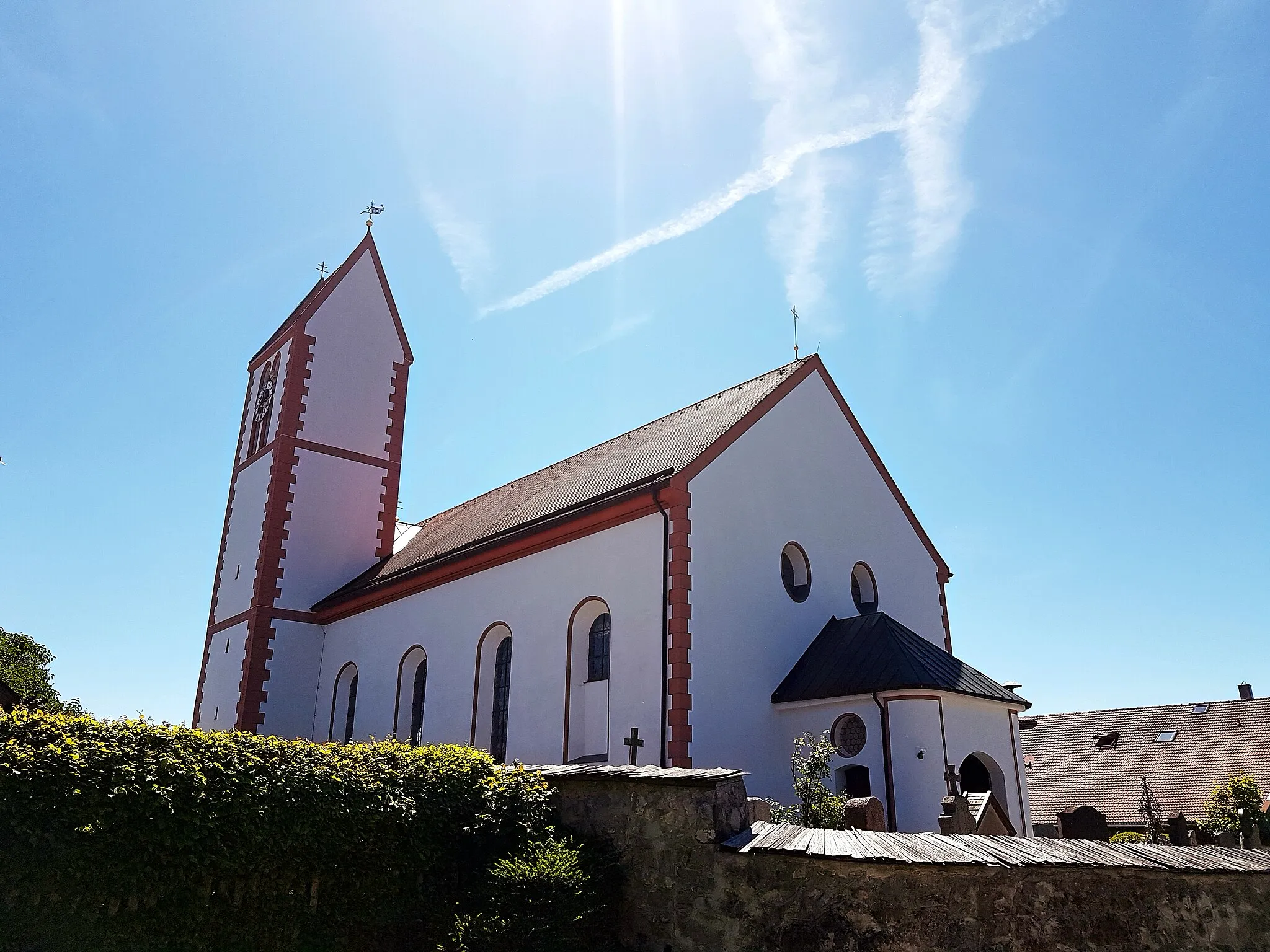
Experience the heritage of Benediktbeuern and conquer the Koppenberg on this road tour
This road tour covers a distance of 61 km and includes an ascent of 424 m. Ideal for road cycling enthusiasts, the tour offers a mix of stunning landscapes and cultural attractions. Make sure to visit the highlight of the route - Benediktbeuern, home to a historic Benedictine monastery that dates back to the 8th century. For those seeking a challenge, the Koppenberg provides a thrilling ascent with rewarding panoramic views. Overall, this route offers a pleasant mix of natural beauty and historical significance.
Cycling routes nearby:


Nearby regions: