Cycling paradise in the heart of Oberbayern.
Cycling routes from Wackersberg
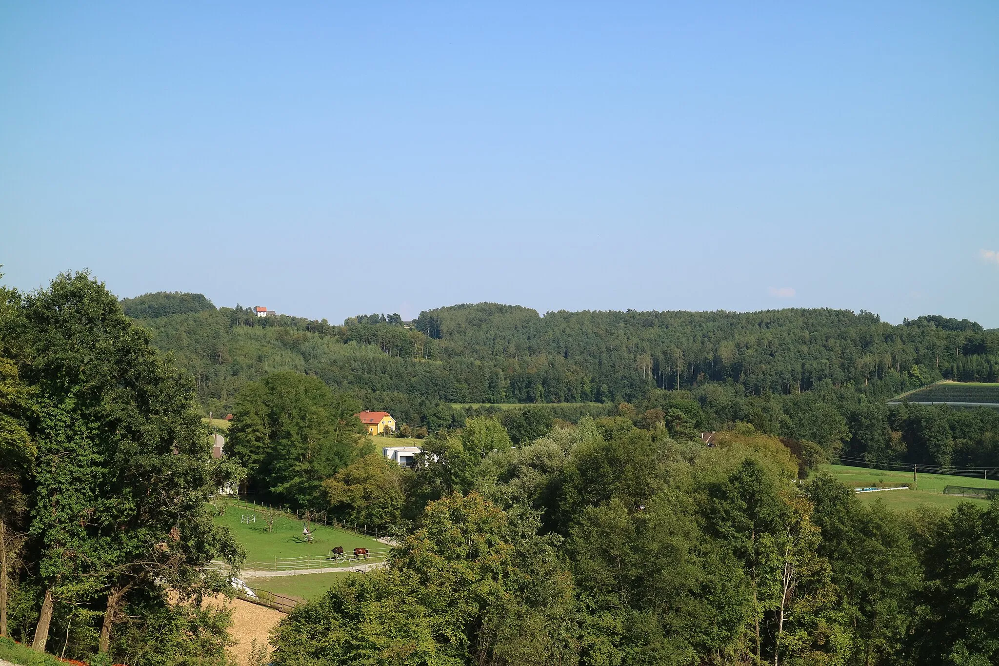
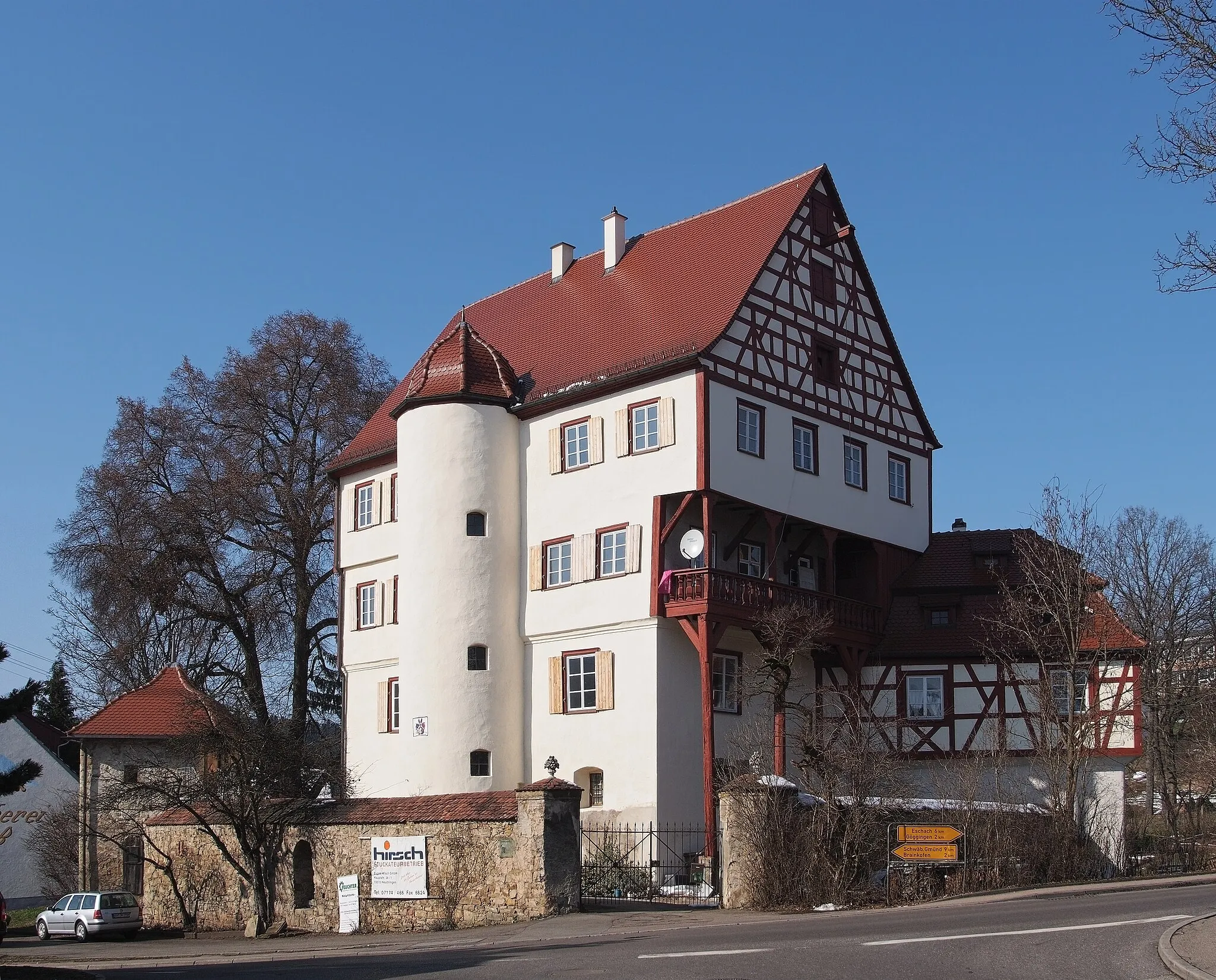
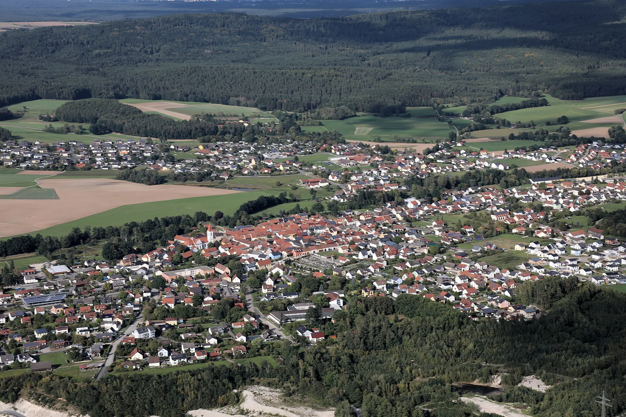
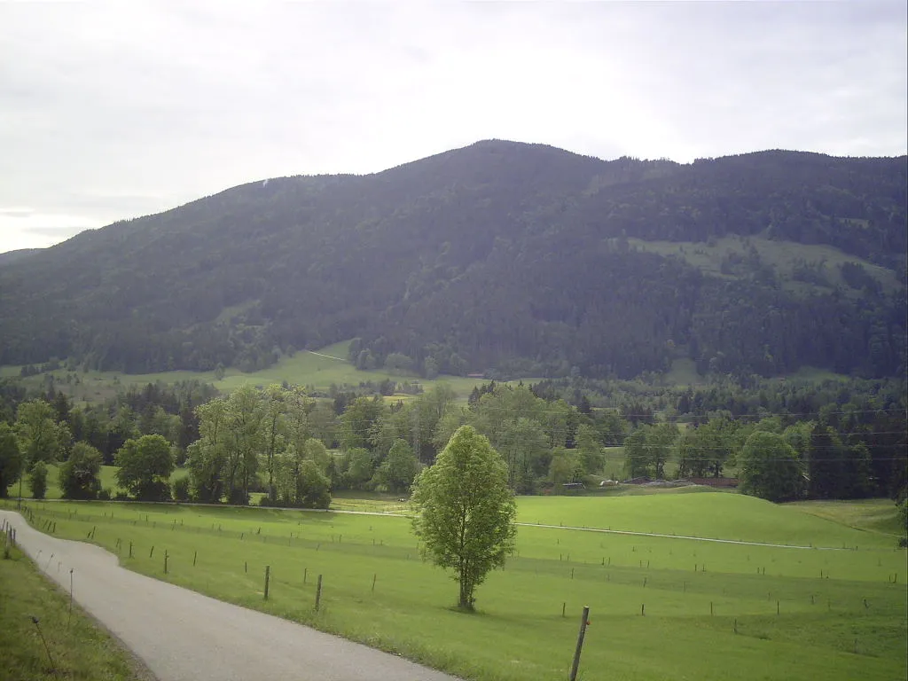
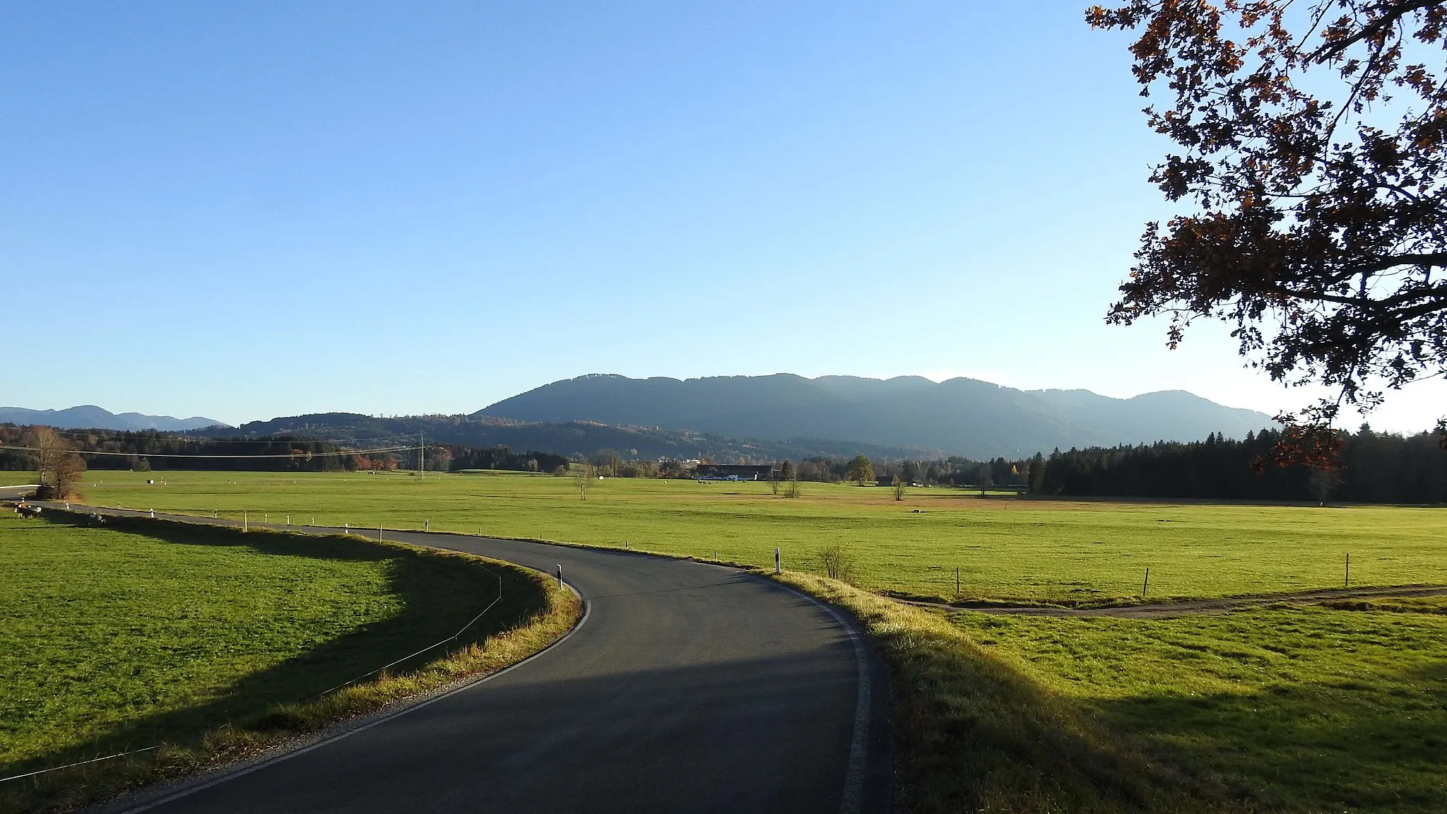
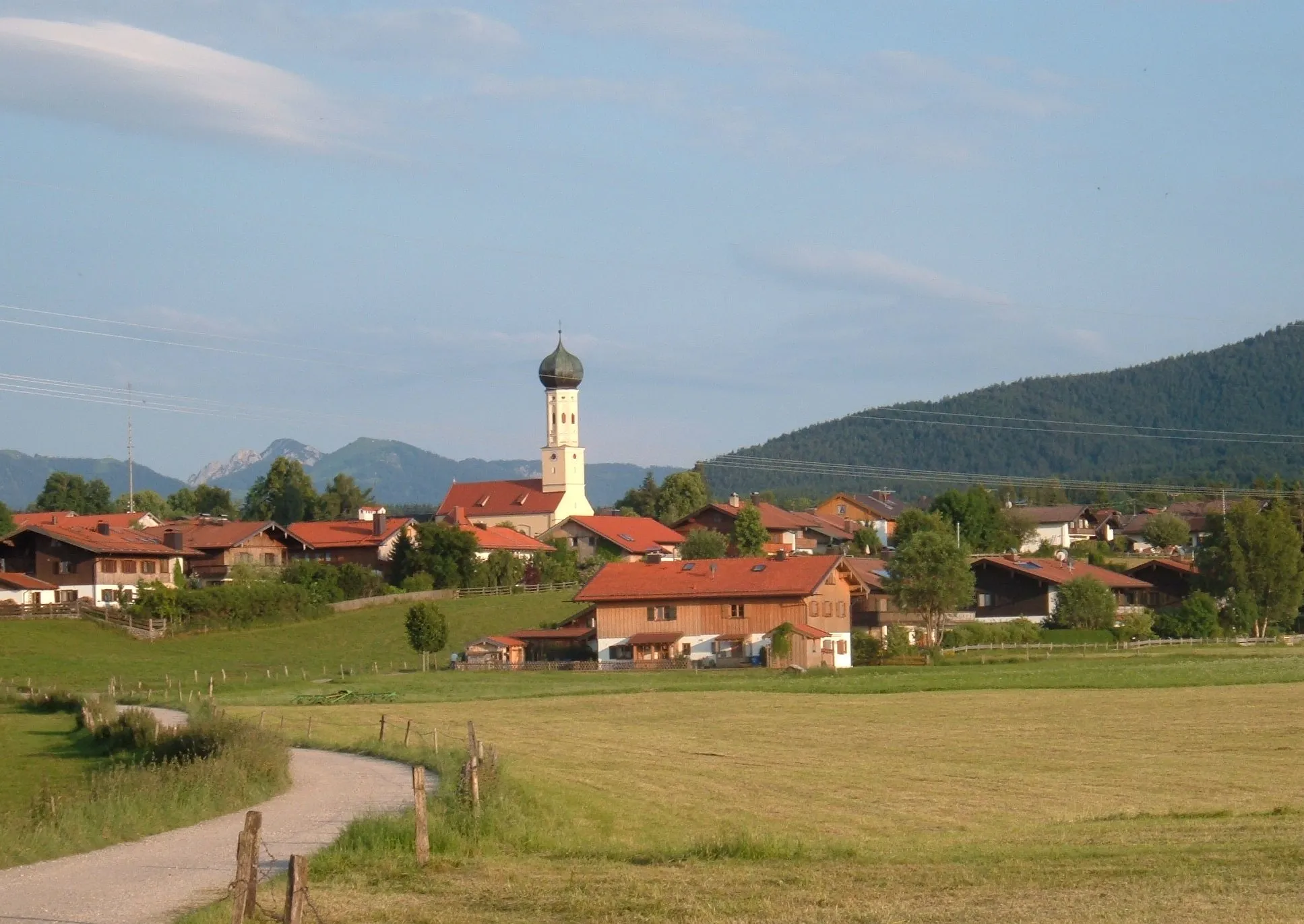
Wackersberg is a beautiful locality in Oberbayern, Germany. It offers scenic roads and gravel paths that are perfect for road and gravel cycling. The rolling hills and picturesque landscapes make it a popular destination for cyclists. Located in the heart of Oberbayern, there are numerous cycling routes to explore, from challenging climbs to gentle rides through the countryside. Wackersberg is also known for its cycling culture and infrastructure, with bike lanes and friendly drivers. Overall, Wackersberg is a cyclist's paradise, with plenty of opportunities for both road and gravel cycling.
Leisurely Ride through Lenggries
Enjoy a leisurely ride through scenic landscapes near Lenggries
Take a leisurely ride through scenic landscapes near Lenggries on this 90 km road cycling route. With a moderate ascent of 1227 meters, you will pedal through charming villages such as Weinberg, Hennenköpfl, Vorderriß, Maxhütte, Herzogstandbahn, Brandenstein, Kochel am See, and Untergries. This route is suitable for well-trained amateurs and offers stunning views of the Bavarian Alps. With an epicness rating of 3, it provides a memorable cycling experience for nature enthusiasts. Explore the idyllic landscapes, take in the fresh mountain air, and get a taste of Bavarian culture.
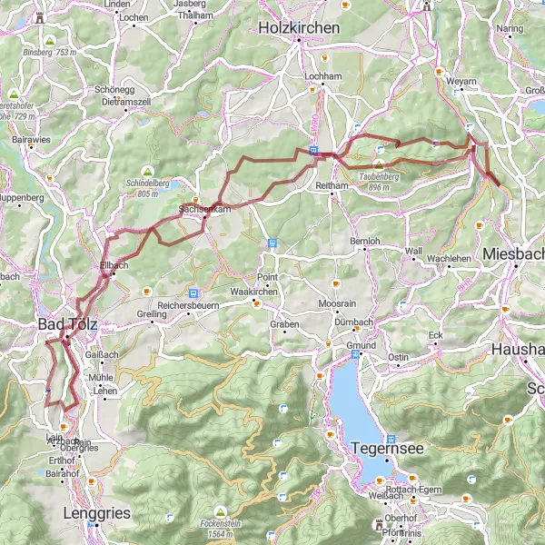
A thrilling gravel ride through Oberbayern's beautiful landscapes
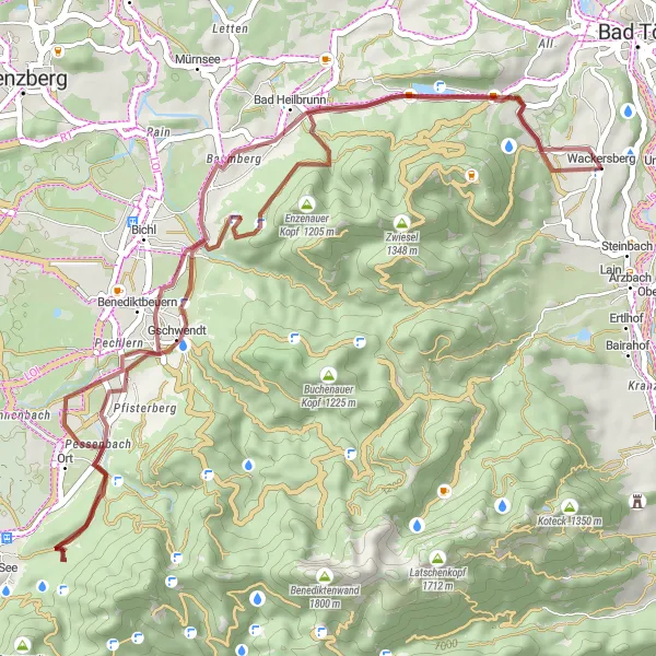
This gravel route takes you on an adventurous journey through the scenic Oberbayern region in Germany. With a total distance of 70 km and 1008 m of ascent, this challenging ride offers an exciting experience for gravel enthusiasts. The route starts in Wackersberg and features several highlights, including Bad Tölz, Piesenkam, Gotzing, Taubenbergturm, Eiberg, Sachsenkam, and Klein Kairo.
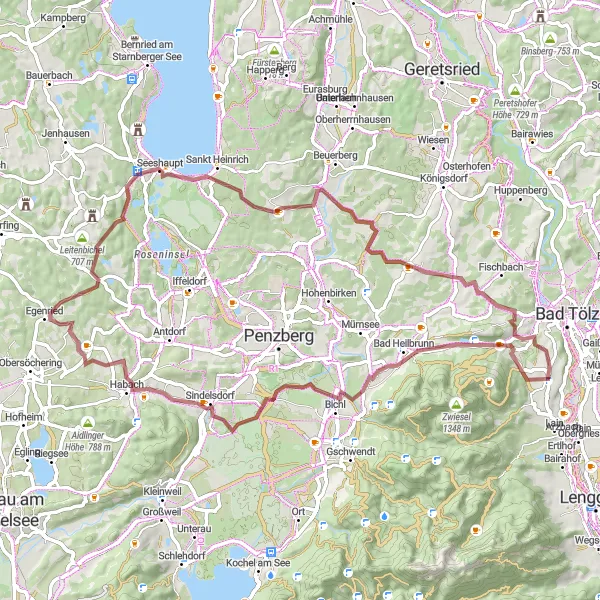
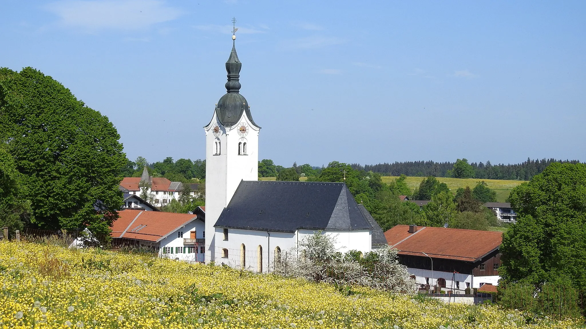
An idyllic ride showcasing the natural beauty of Bad Heilbrunn
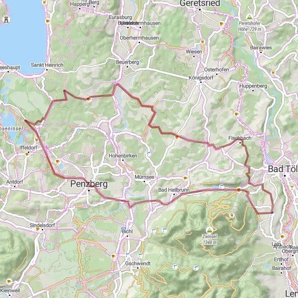
Embark on a 70 km gravel adventure through the enchanting landscapes near Bad Heilbrunn. This route offers scenic views and 755 m of ascent, providing a moderate challenge for gravel riders. Highlights include Bad Heilbrunn, Sindelsdorf, Steinberg, Riedberg, Seeshaupt, and Winkl.
Panoramic Gravel Tour
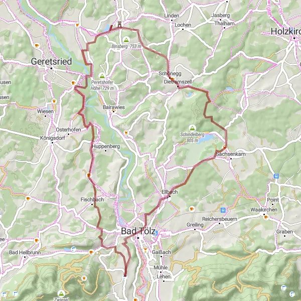
A scenic tour showcasing Oberbayern's breathtaking landscapes
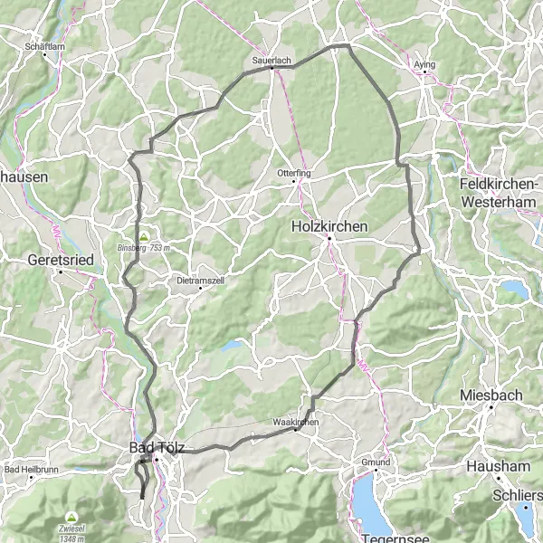
Discover the beauty of Oberbayern on this 53 km gravel tour. With 842 m of ascent, this route provides a mix of challenging climbs and rewarding descents. Starting near Wackersberg, the tour highlights include Malerwinkel, Tattenkofen, Binsberg, Föggenbeuern, Sachsenkam, and Bad Tölz.
Picturesque Mountain Ride
Experience the beauty of mountain landscapes on this scenic ride
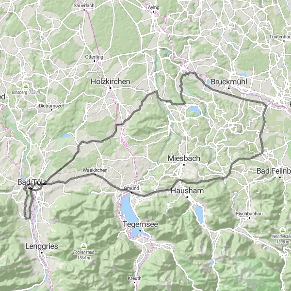
Immerse yourself in the picturesque mountain landscapes of Oberbayern with this 102 km road cycling route. With a moderate ascent of 1222 meters, you will pass through breathtaking locations such as Piesenkam, Mitterdarching, Kreuzberg, Götting, Wörnsmühl, Wallenburger Kogel, Gmund, Reichersbeuern, and Steinbach. This route, suitable for well-trained amateurs, offers stunning views and a unique cycling experience. With an epicness rating of 3, it provides the perfect balance between challenging climbs and breathtaking descents. Discover hidden gems along the way and enjoy the beauty of the Bavarian Alps.
Buchberg Loop
Gravel adventure through scenic landscapes
Embark on a gravel adventure through beautiful landscapes and small Bavarian villages on the Buchberg Loop. This 47 km route offers a challenging ascent of 889 meters, taking you past highlights such as Gschwendt, Stutzenstein, Bad Heilbrunn, and Burgern. It is a moderate difficulty ride, suitable for well-trained amateurs. With an epicness rating of 3, it promises stunning views and a memorable experience. The route is ideal for those looking to explore the countryside and enjoy off-road cycling.

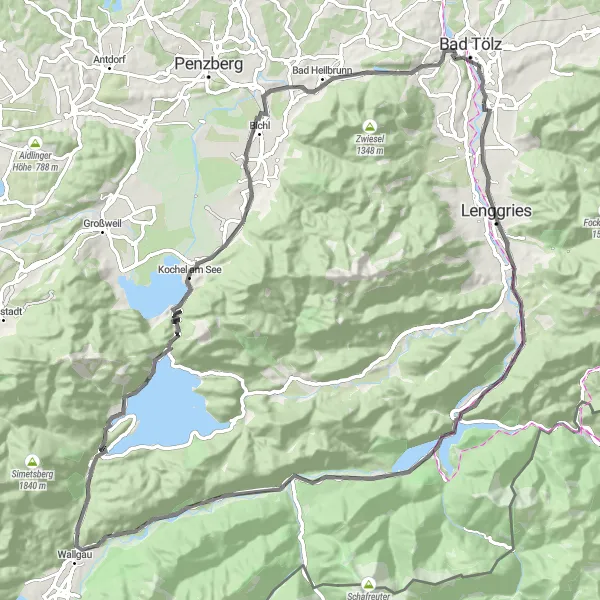
Experience a thrilling alpine adventure through Bavaria's stunning landscapes
Embark on a thrilling alpine adventure through the stunning landscapes of Bavaria with this 110 km road cycling route. With a challenging ascent of 1544 meters, you will conquer the peaks near Lenggries and marvel at the beauty of Bavarian Alps. Highlights along the route include Lenggries, Weinberg, Hennenköpfl, Vorderriß, Hinterriß, Rißsattel, Maxhütte, Herzogstandbahn, Brandenstein, Kochel am See, Benediktbeuern, and Buchberg. This route offers an epic cycling experience suitable for experienced cyclists. With an epicness rating of 4, it promises breathtaking views and an adrenaline-filled ride. Explore the dramatic alpine landscapes, conquer challenging climbs, and create unforgettable memories.
Scenic Glendale Gravel Ride
A picturesque ride through the beautiful Glendale region
Explore the scenic landscapes of Glendale on this 52 km gravel ride. With a moderate difficulty level and 604 m of ascent, this route showcases the natural beauty of the region. Highlights include Schönmühl, Horn, Heuwinkl, and Winkl.
An adrenaline-pumping road ride through the heart of Bavaria
Experience the thrill of road cycling on this 84 km route through beautiful Bavarian landscapes. With 798 m of ascent and varying terrain, the ride offers a challenge for intermediate cyclists. Highlights include Bairawies, Peretshofer Höhe, Großeichenhausen, Hofolding, Mitterdarching, Reichersbeuern, and Burgern.
Scenic Road Ride
Enjoy a scenic road ride through Bavarian countryside
Experience the beauty of Bavarian countryside with this 124 km road cycling route. With a challenging ascent of 1346 meters, you will ride through picturesque villages such as Bichl, Angerberg, Magnetsried, Erling, Mesnerbichl, and Pöcking. This route is suitable for experienced cyclists due to its long distance and elevation gain. With an epicness rating of 4, it offers stunning views and a satisfying challenge. Explore the charming towns and enjoy the peaceful atmosphere while pedaling through the diverse landscapes.
Cycling routes nearby:


Nearby regions: