Cycling Paradise in the Heart of Oberbayern
Cycling routes from Lenggries
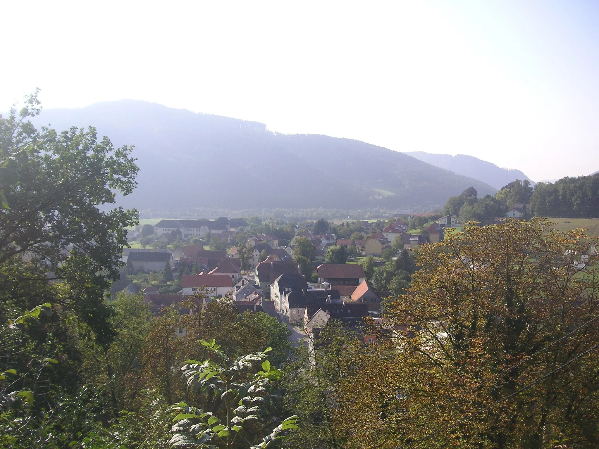
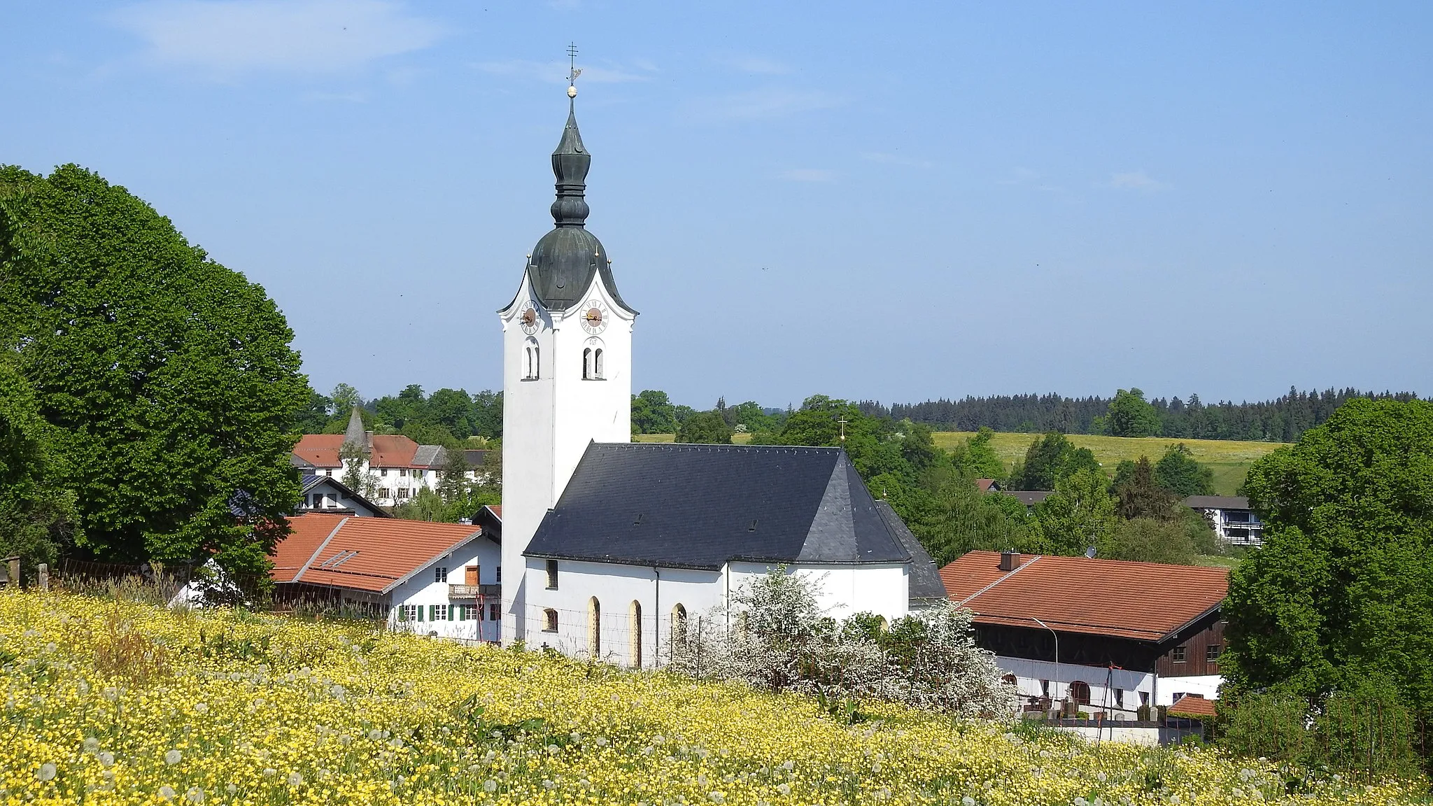
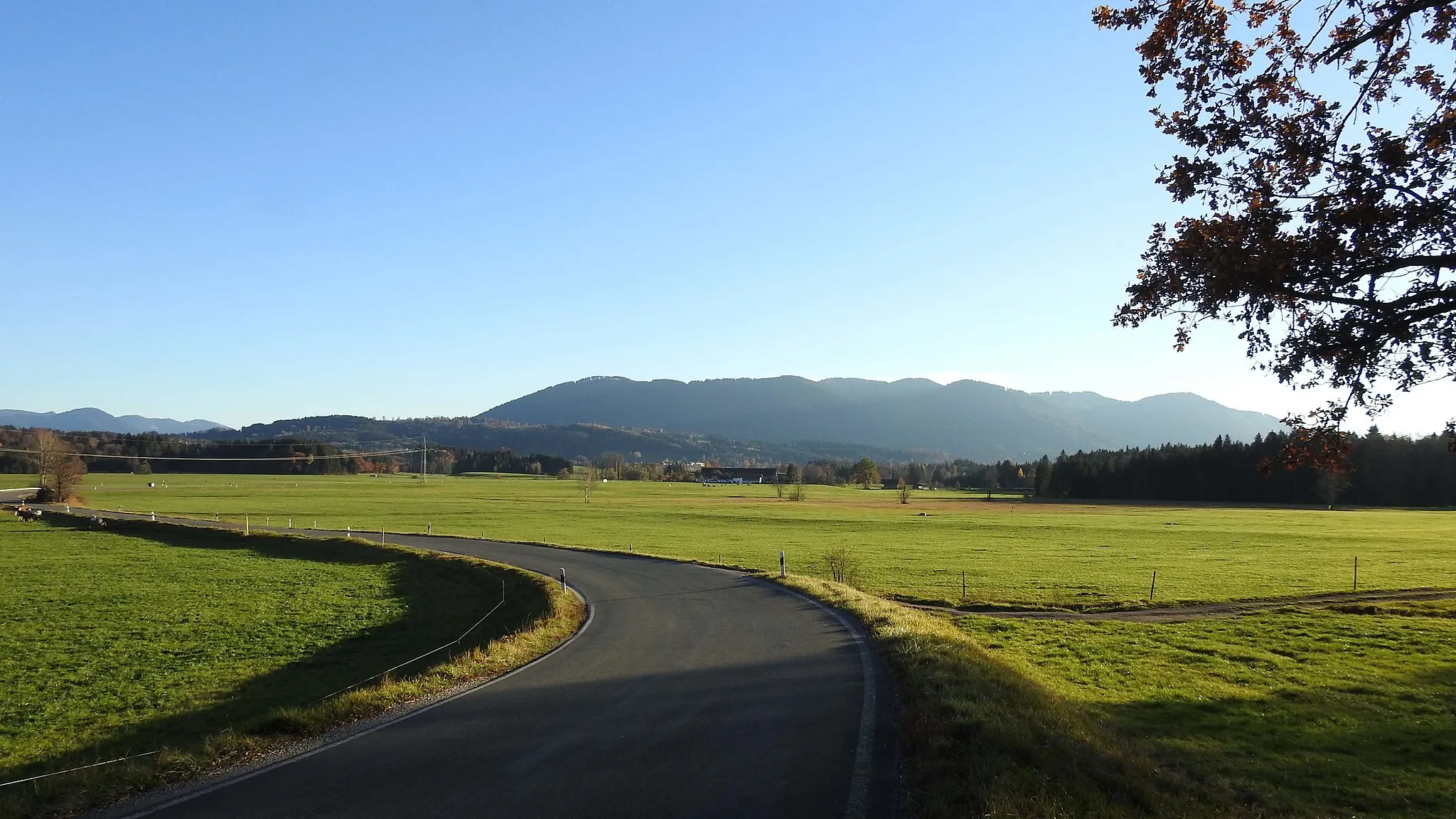
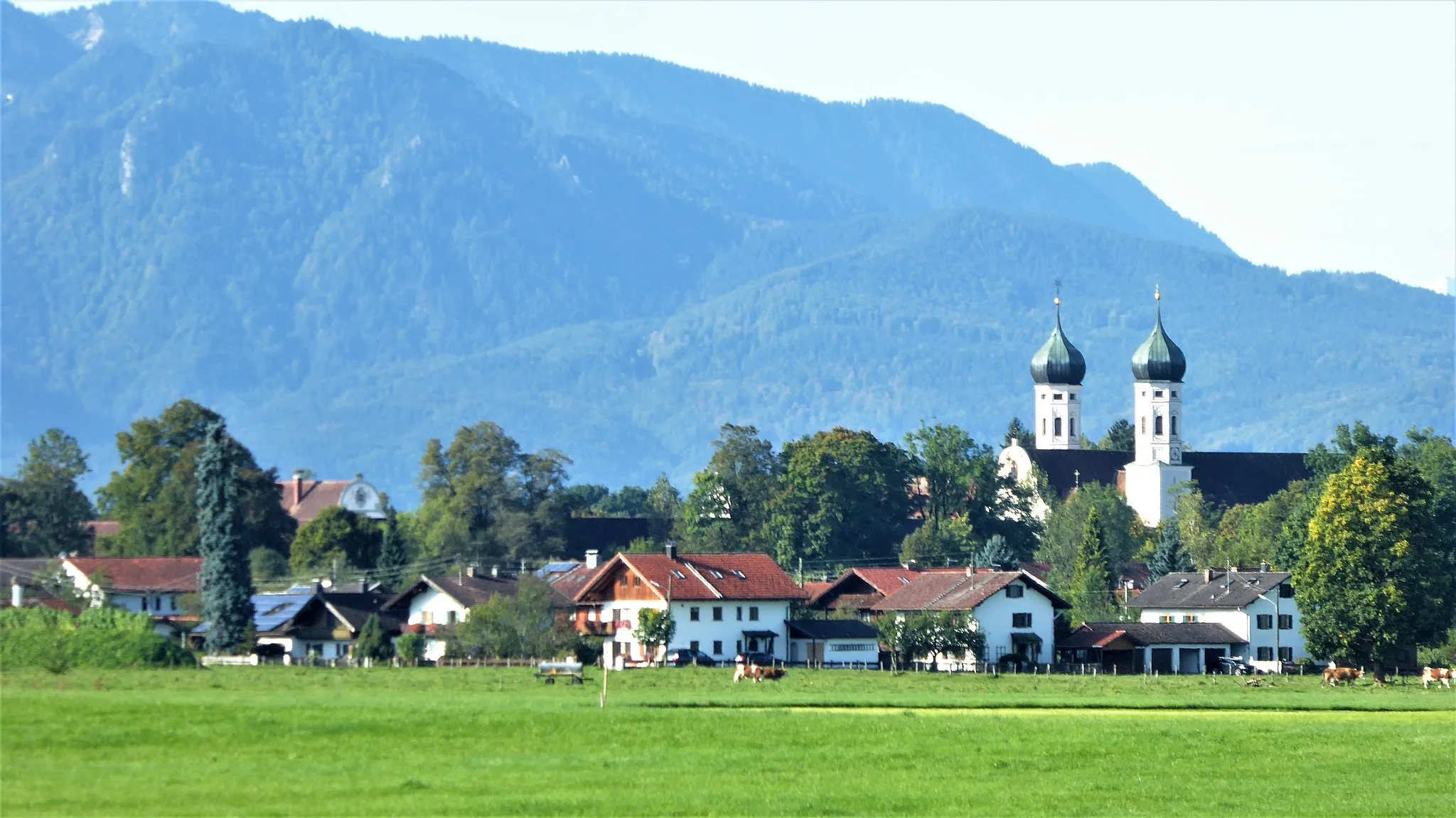
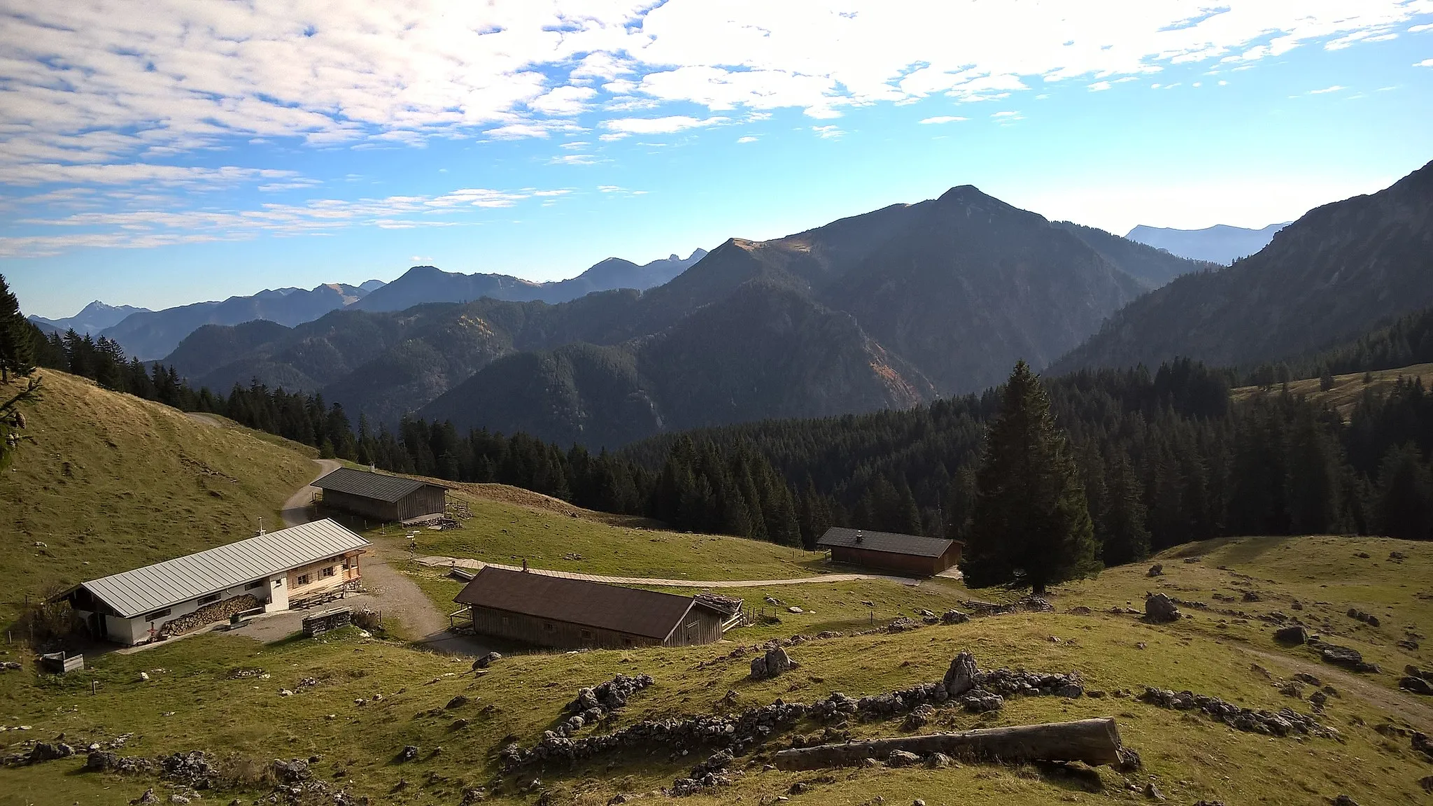
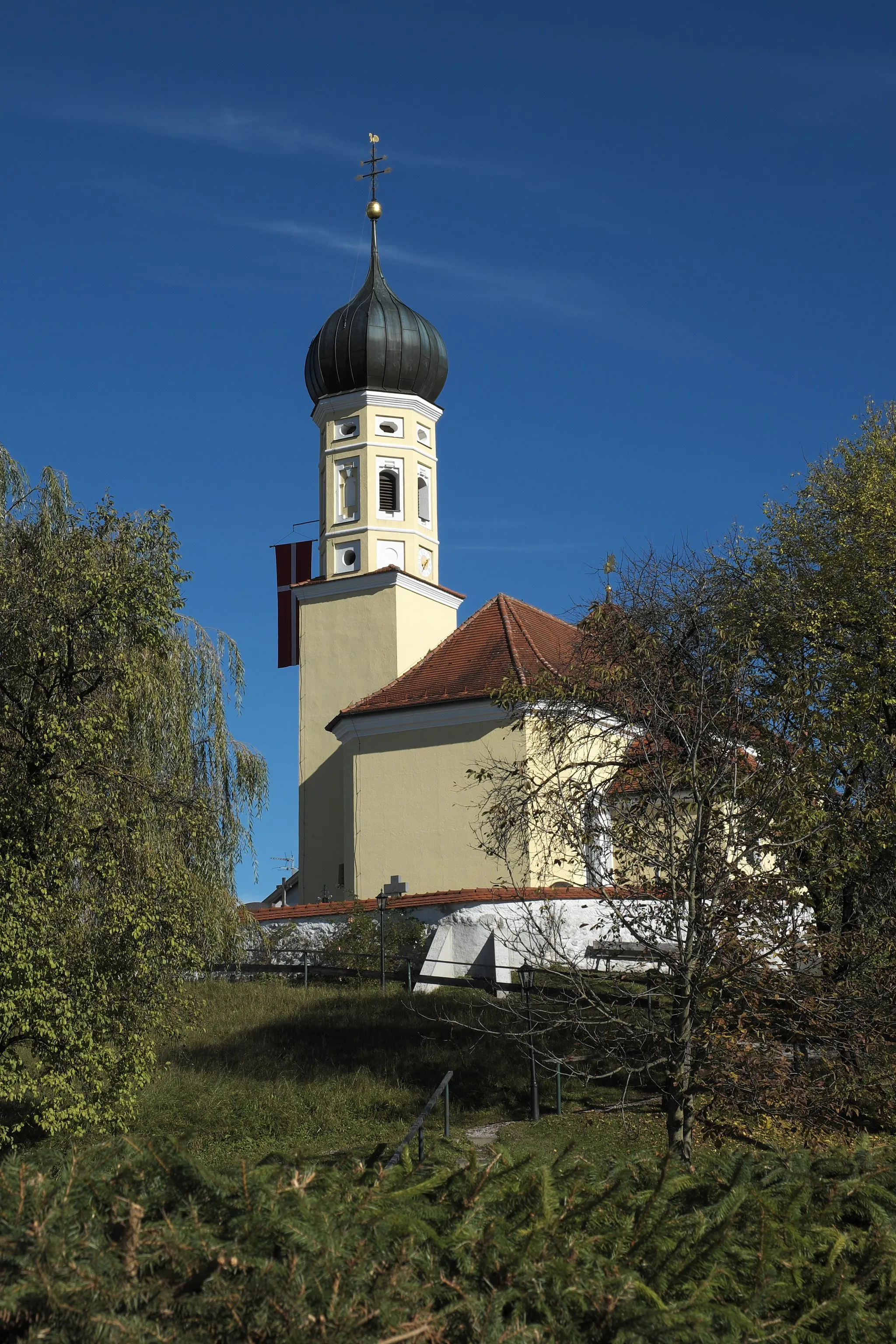
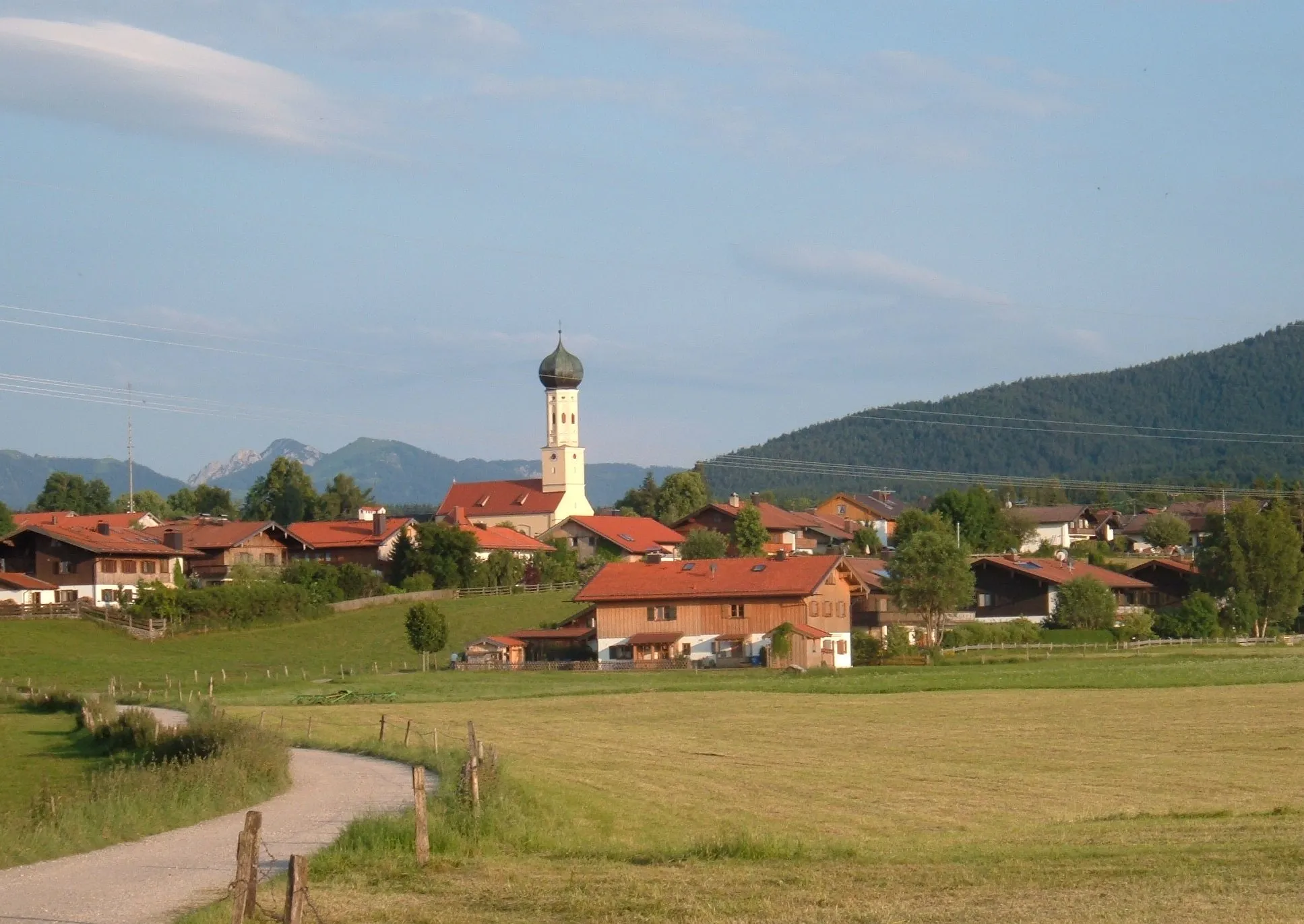
Lenggries in Oberbayern, Germany, is a picturesque town surrounded by stunning mountain landscapes, making it the perfect destination for road and gravel cyclists. The area is renowned for its cycling-friendly atmosphere and well-maintained cycling routes. One of the highlights for cyclists is the famous Brauneck Mountain, offering challenging climbs and rewarding panoramic views at the top. Additionally, Lenggries is located close to the Isar River, providing scenic routes along the riverbanks. With its combination of natural beauty and cycling infrastructure, Lenggries is a must-visit for cycling enthusiasts.
Gravel Adventure
Get off the beaten path and explore the rugged gravel roads near Lenggries on this adventurous cycling route.
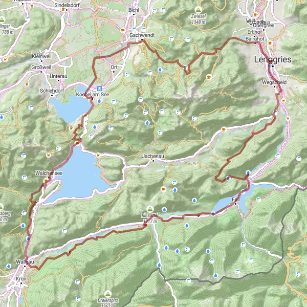
Perfect for gravel enthusiasts, this off-road cycling route near Lenggries offers 97 kilometers of challenging terrain. With an elevation gain of 2,185 meters, it takes you through picturesque landscapes and remote trails. The highlights of this route include Schloss Hohenburg, Brünstkopf, Vorderriß, Rißsattel, Wallgau, Maxhütte, Ramskopf, Kochel am See, Benediktbeuern, Waxenstein, and Lenggries.
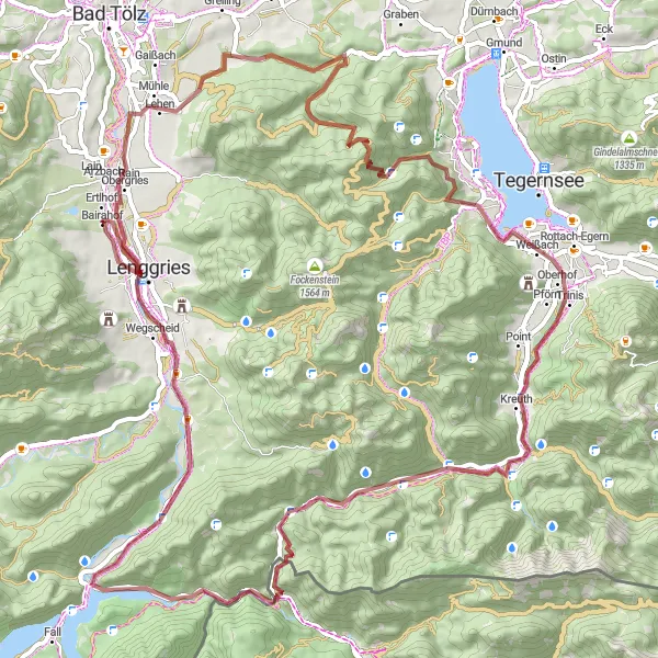
Embark on a thrilling gravel cycling adventure through the picturesque Tegernsee Valley.
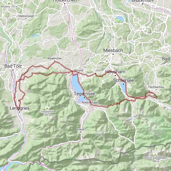
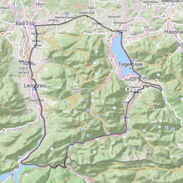
This 96km round-trip gravel cycling route offers a mix of challenging off-road trails and scenic country roads. With an elevation gain of 1499m, it is suitable for well-trained amateur cyclists looking to test their skills and endurance. Highlights along the route include Platten, Schloß Tegernsee, Dürnbachwand, Hochburg, Schliersee, and Gmund. These points of interest showcase the stunning natural beauty of the Bavarian Alps, with its glittering lakes, rolling hills, and enchanting castles. Overall, this route provides an exhilarating cycling experience through one of Germany's most picturesque regions.
A road route from Gaissach to Achselkopfl passing scenic spots like Schloß Tegernsee and Wallenburger Kogel.
This road cycling route from Gaissach to Achselkopfl takes you through breathtaking landscapes and historical sites. Stop by Schloß Tegernsee, an elegant castle where you can explore the beautiful gardens and learn about its fascinating history. As you continue towards Wallenburger Kogel, take in the panoramic views of rolling hills and picturesque Bavarian villages. The climb to Achselkopfl will challenge even the most experienced cyclists, rewarding you with stunning vistas from the summit. With a difficulty level of 4, this route is perfect for those seeking a challenging and rewarding ride. The epicness of the ride is rated 4 out of 5.
Alpine Adventure
Conquer the Alps and experience breathtaking mountain scenery on this challenging road cycling route near Lenggries.
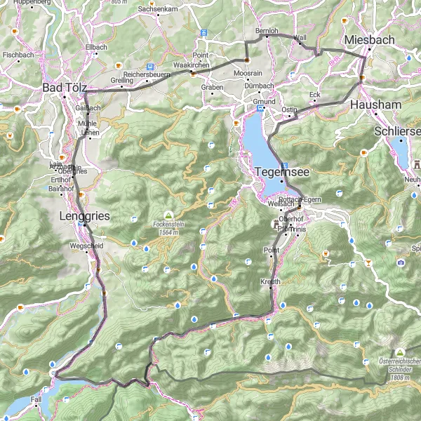
This epic road cycling route near Lenggries offers a thrilling adventure for experienced cyclists. With a distance of 161 kilometers and an ascent of 2,925 meters, it is a challenging ride that takes you through stunning landscapes and mountain passes. The route includes highlights such as Gaißach, Kaltenbrunner Eck, Gmund, Rottachfall, Wechsel, Spitzingsattel, Aurach, Bayrischzell, Ursprungpass, Nöck, Kaiserklamm, Wiesing, Kanzelkehre, Achensee, Achenkirch, Walchenklamm, and Hellerschwang.
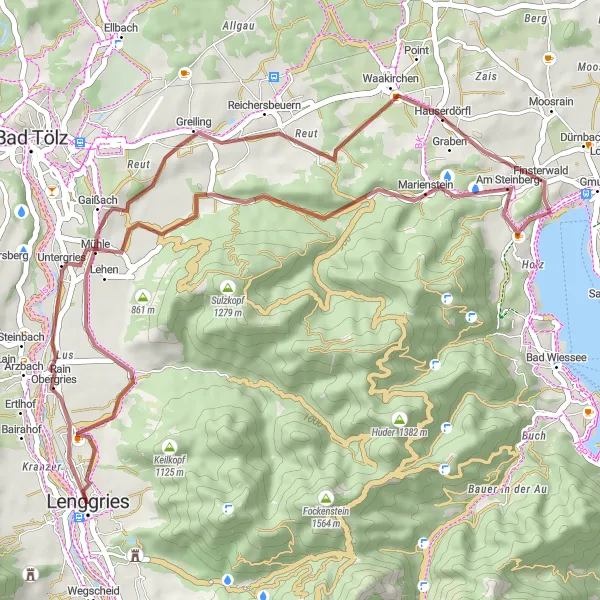
Gravel Adventure in Lenggries
Discover the rugged beauty of Lenggries on this exciting gravel adventure.
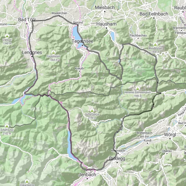
This round-trip cycling route starts in Lenggries and takes you through a diverse landscape of alpine meadows, winding forest trails, and stunning mountain vistas. With a distance of 81km and an ascent of 1434m, it is suitable for well-trained amateur cyclists looking for a challenging ride. Along the way, you'll have the opportunity to explore highlights such as Platten, Kogelkopf, Bad Wiessee, and Schloss Hohenburg. These points of interest feature breathtaking views, historic landmarks, and tranquil natural settings. Overall, this route offers a unique and memorable cycling experience for gravel enthusiasts.
Experience the beauty of the Bavarian countryside on this scenic gravel ride to Obergries.
This round-trip cycling route is perfect for cyclists looking for a shorter adventure. Starting near Lenggries, the 45km route features an ascent of 515m, making it suitable for moderately trained cyclists. Highlights along the way include Platten, Hainzenhöhe, Greiling, and Obergries. These locations offer picturesque landscapes, charming villages, and local landmarks worth exploring. Overall, this route provides a delightful cycling experience through the scenic Bavarian countryside.
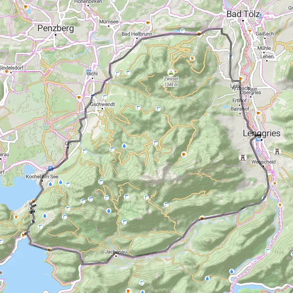
A road cycling route from Langeneck to Benediktbeuern, passing stunning landmarks such as Ramskopf and Kochel am See.
Embark on this scenic road route from Langeneck to Benediktbeuern, passing charming towns and awe-inspiring natural landscapes. Begin with a stop at Langeneck, a picturesque location offering sweeping vistas of the surrounding Alpine peaks. As you approach Hinterbichl, prepare for a challenging climb that rewards you with breathtaking views from the top. Continue the ride to reach Kochel am See, a town renowned for its crystal-clear lake and tranquil atmosphere. With a difficulty level of 4, this route is ideal for experienced cyclists seeking a mix of stunning scenery and invigorating climbs. The epicness of the ride is rated 4 out of 5.
A road route from Gaißach to Eiberg, passing by highlights such as Valley Castle and Lenggries.
Starting in Gaißach, this road route takes you through diverse landscapes and historical sites. Be sure to visit Valley Castle, a stunning medieval castle surrounded by lush green forests. As you continue the ride, you'll pass by Lenggries, a charming town known for its traditional Bavarian architecture and access to outdoor activities. With a moderate difficulty level, this route is perfect for experienced amateur cyclists. The epicness of the ride is rated 3 out of 5.
Gaißach to Winkl via Kreuth
A scenic road route through Gaißach to Winkl with highlights including Kreuth and Achenpass.
This road route starts in Gaißach and takes you through picturesque towns and beautiful landscapes. You'll pass by the highlight of Kreuth, known for its charming village architecture and breathtaking views. Another highlight is the Achenpass, a challenging climb that offers panoramic vistas. With a moderate difficulty level, this route is suitable for well-trained amateurs. The epicness of the ride is rated 3 out of 5.
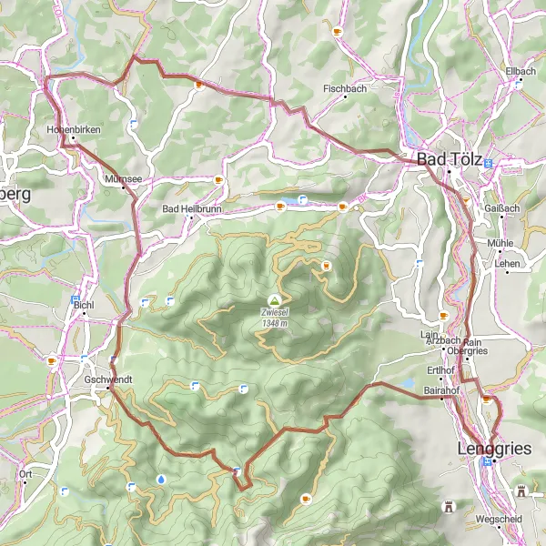
Escape into nature and explore scenic gravel routes from Bairahof to Untergries.
This gravel route takes adventurous cyclists on a journey through natural landscapes and hidden treasures. Starting at Bairahof, immerse yourself in the serenity of untouched forests and pristine meadows. As you ride towards Mürnsee, enjoy the tranquility of this picturesque lake and take a moment to indulge in a picnic or swim. Moving on, you'll reach Nantesbuch, an artist village surrounded by inspiring nature. With a difficulty level of 4, this route is recommended for experienced gravel riders. The epicness of the ride is rated 3 out of 5.
Cycling routes nearby:

Nearby regions: