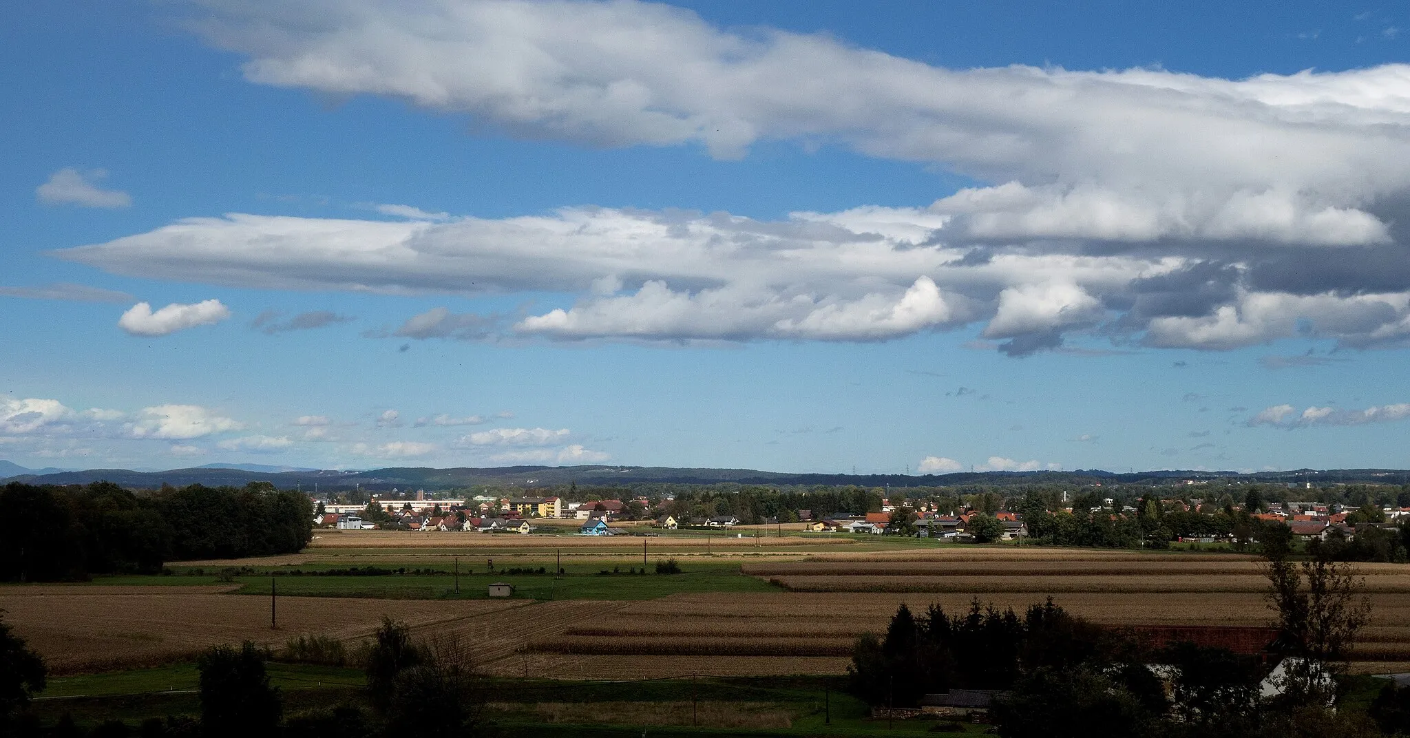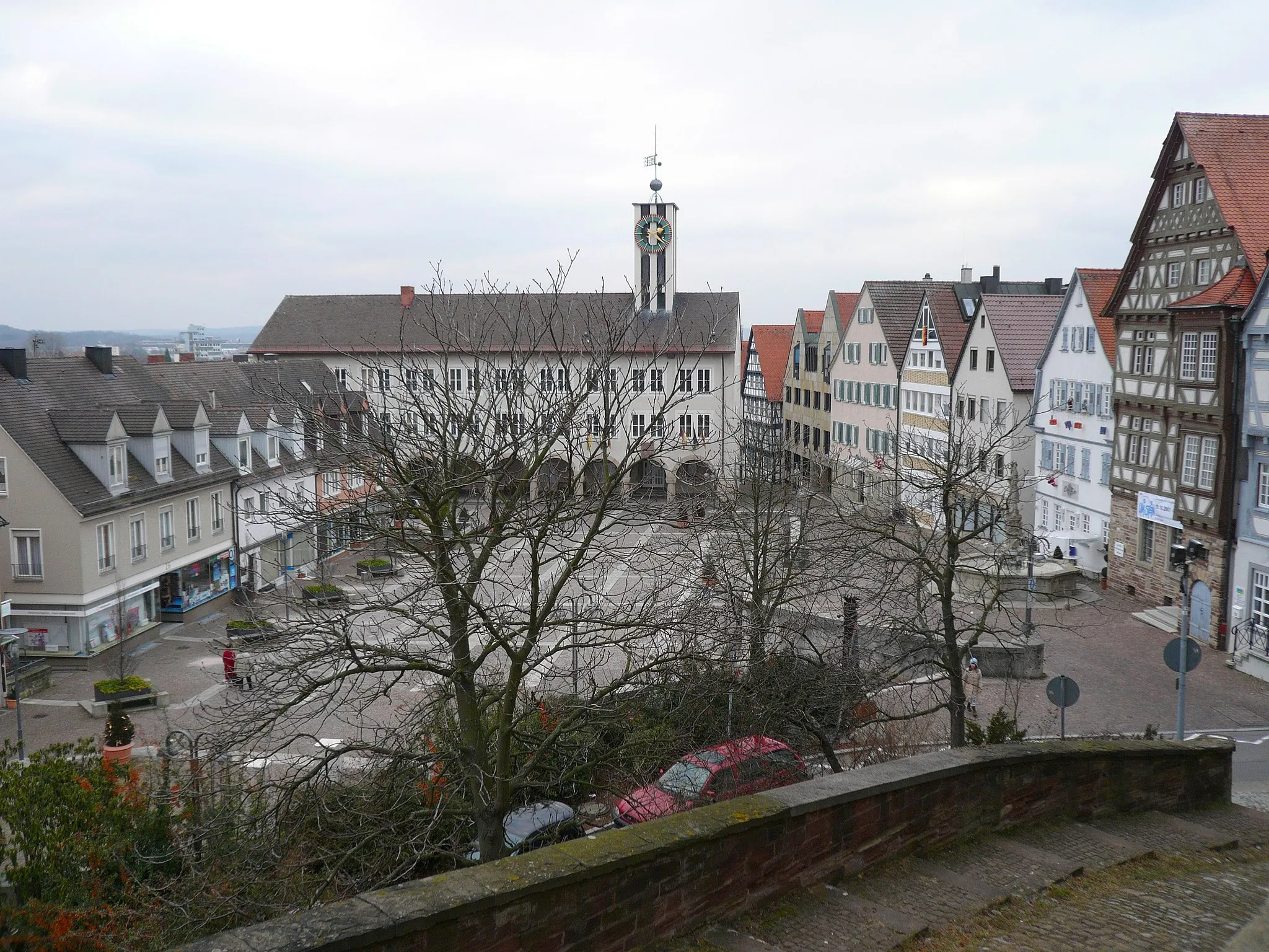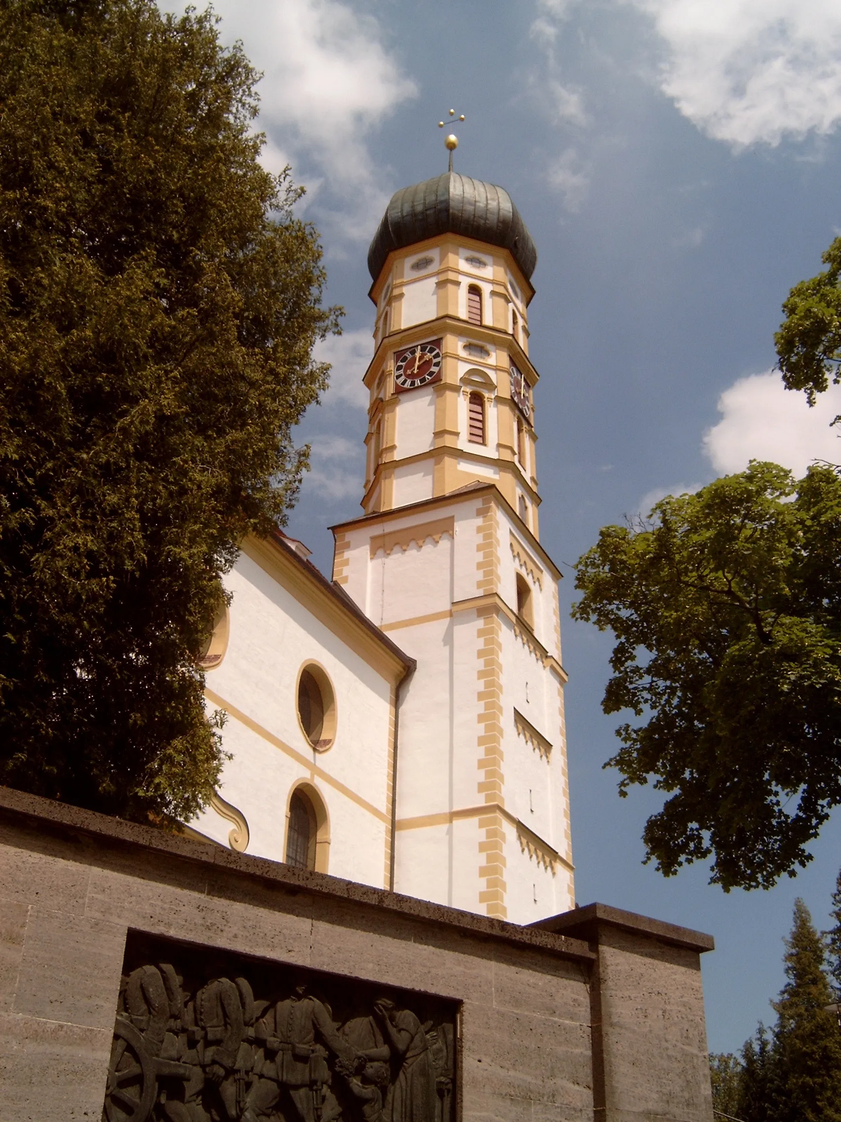
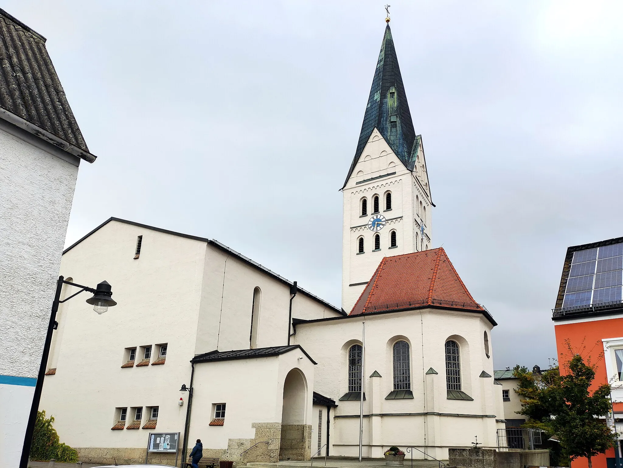
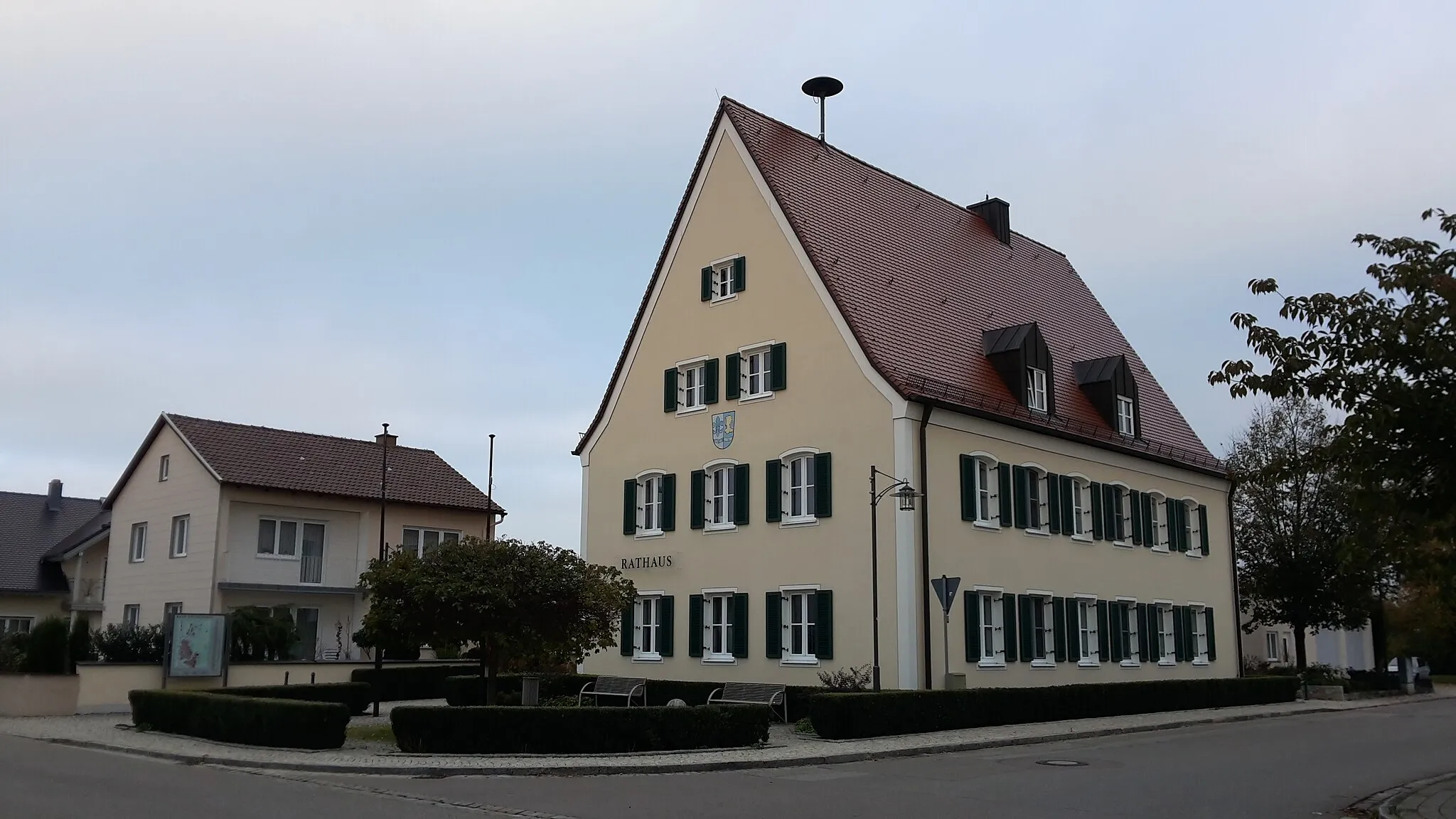
Exploring the picturesque roads of Pörnbach in Oberbayern.
Cycling routes from Pornbach
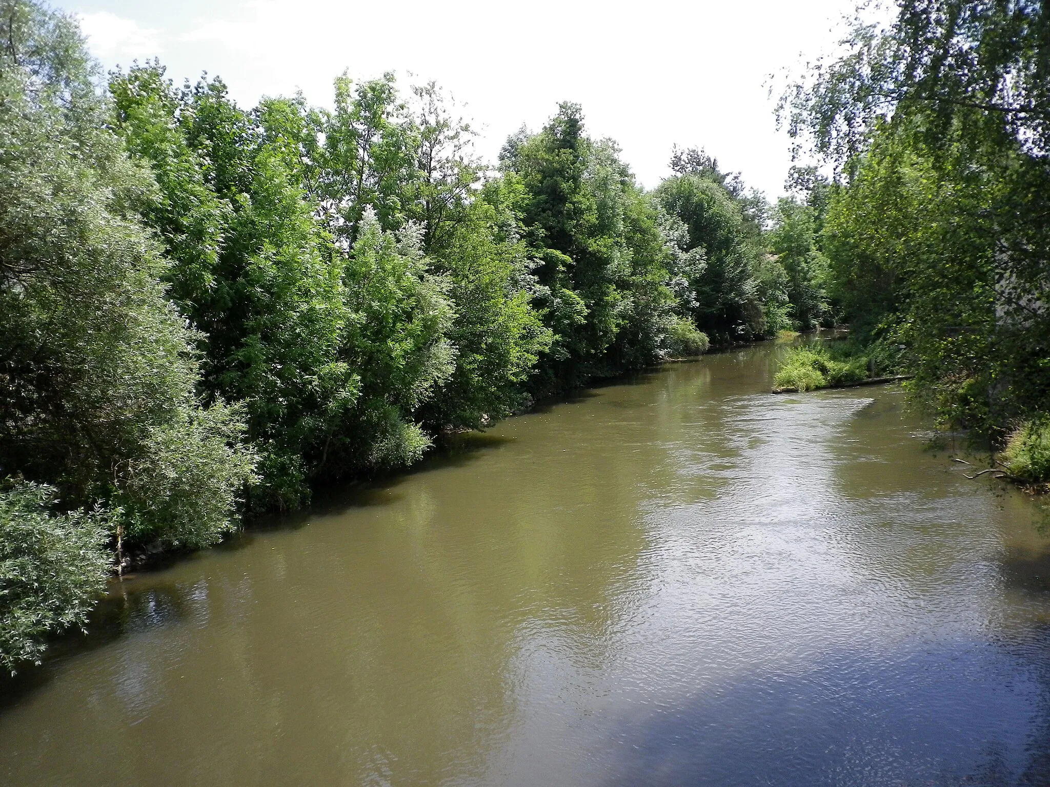
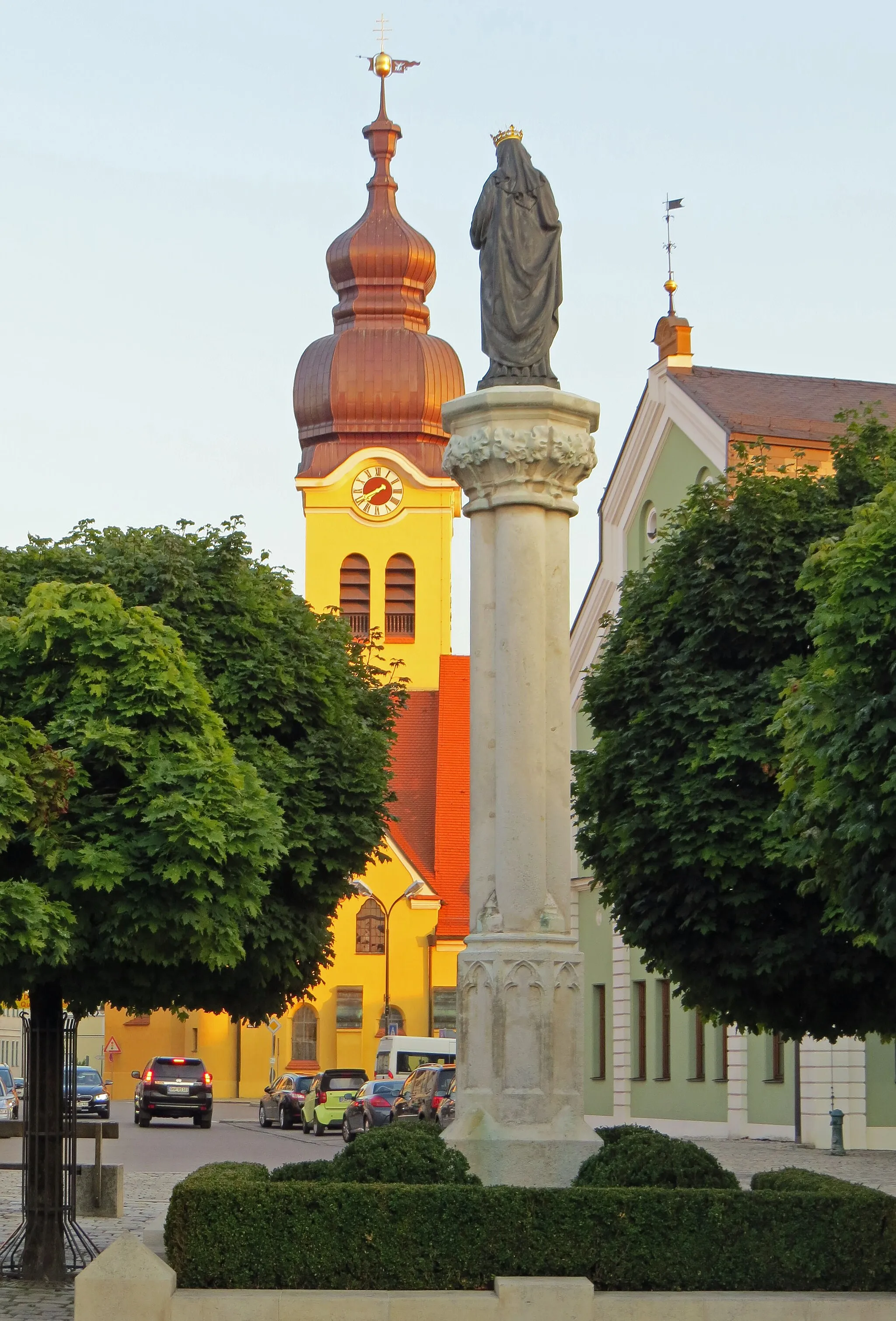
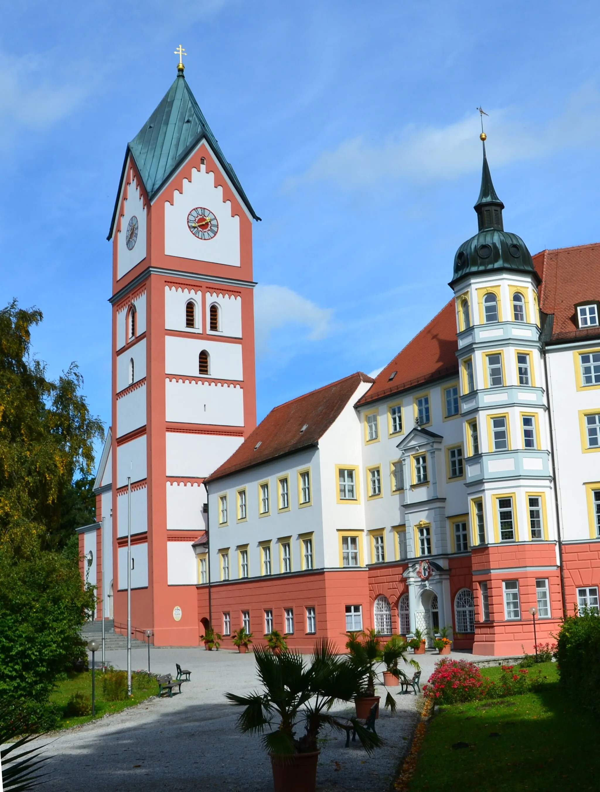
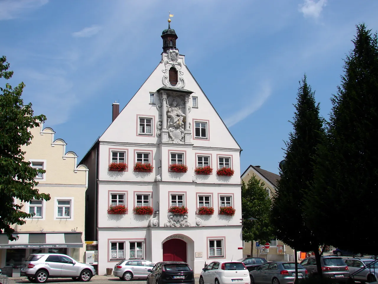
Pörnbach is a municipality located in the Oberbayern region of Germany. It is surrounded by beautiful countryside and offers some enjoyable road and gravel cycling opportunities. The area features rolling hills and well-paved roads, making it suitable for various skill levels. While Pörnbach does not have any famous climbs or monumental cycling landmarks, it provides a peaceful and scenic atmosphere for cycling enthusiasts. If you're seeking a laid-back cycling experience through charming Bavarian landscapes, then Pörnbach is worth considering.
Exploring the gravel roads near Pörnbach
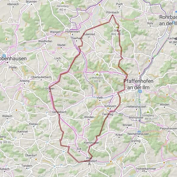
Experience the rural beauty of Oberbayern on this challenging gravel route. With a total ascent of 820 meters over a distance of 56 kilometers, this loop takes you through picturesque villages and rolling hills. The highlight of the route is the climb up to Eichberg, offering stunning views of the surrounding countryside. This route is perfect for gravel enthusiasts looking for a scenic adventure.
Explore the gravel roads of Berg im Gau
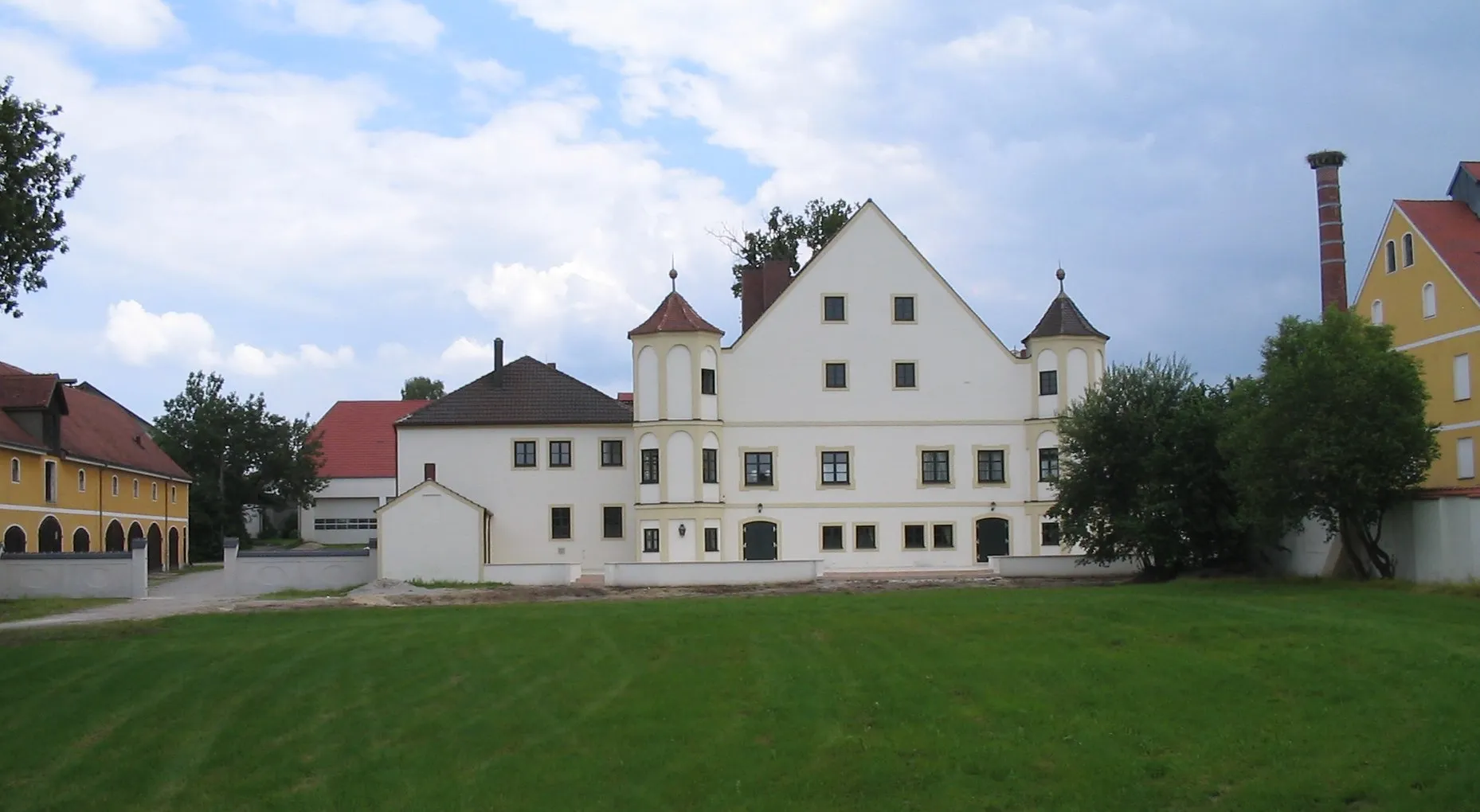
Venture off the beaten path with this scenic gravel route through Berg im Gau. With a distance of 71 kilometers and a total ascent of 303 meters, this ride offers a mix of challenging climbs and tranquil countryside. Highlights include the charming village of Pörnbach, the historic castle of Schloss Neuburg, and the majestic Napoleonslinde tree. This route is perfect for gravel enthusiasts looking to escape the crowds and discover hidden gems.
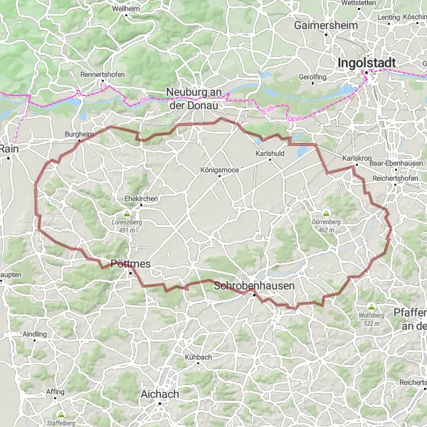
Explore the countryside from Pörnbach to Karlskron
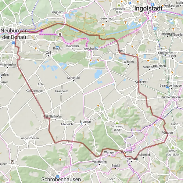
This gravel cycling route takes you from Pörnbach to Karlskron, offering a challenging ascent and showcasing the natural beauty of Oberbayern. The total distance covered is 111 kilometers with an elevation gain of 974 meters. This route takes you through picturesque villages and tranquil landscapes, providing a unique cycling experience.
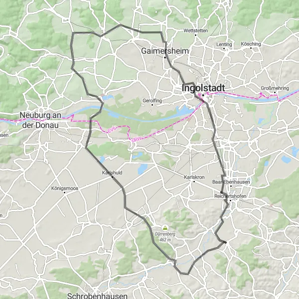
Reichertshofen to Münchsmünster
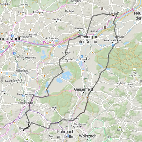
Discover the charming towns of Reichertshofen and Münchsmünster
This road cycling route takes you from Reichertshofen to Münchsmünster, passing through picturesque towns and offering a moderate ascent. The total distance covered is 73 kilometers with an elevation gain of 346 meters. The route showcases the beauty of Oberbayern's landscapes and provides an enjoyable cycling experience.
Embark on a gravel adventure from Hög to Winden am Aign
This gravel cycling route takes you from Hög to Winden am Aign, offering a challenging ascent and beautiful natural landscapes. The total distance covered is 58 kilometers with an elevation gain of 562 meters. This scenic route provides an exhilarating off-road experience in the heart of Oberbayern.
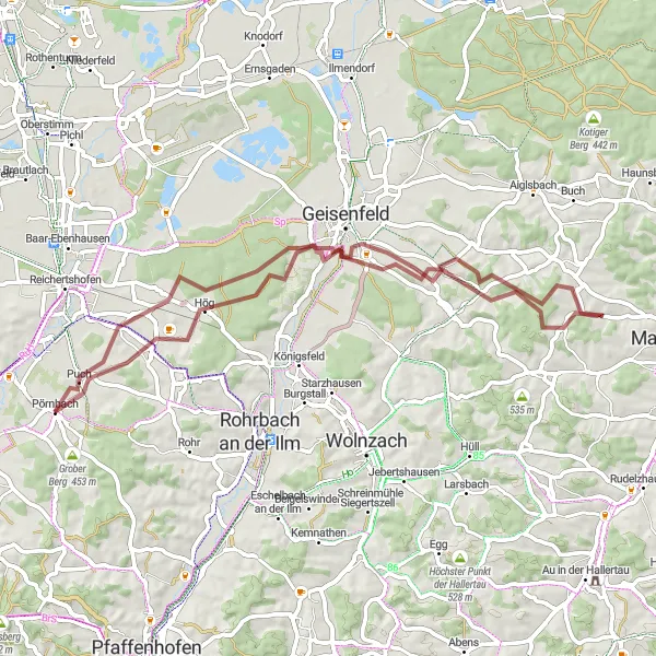
Affalterbach to Pörnbach
Discover gravel cycling from Affalterbach to Pörnbach
This gravel cycling route takes you from Affalterbach to Pörnbach, offering a challenging ascent and stunning natural landscapes. The total distance covered is 55 kilometers with an elevation gain of 844 meters. Along the way, you'll pass through picturesque villages and enjoy panoramic views, making it a memorable gravel adventure.
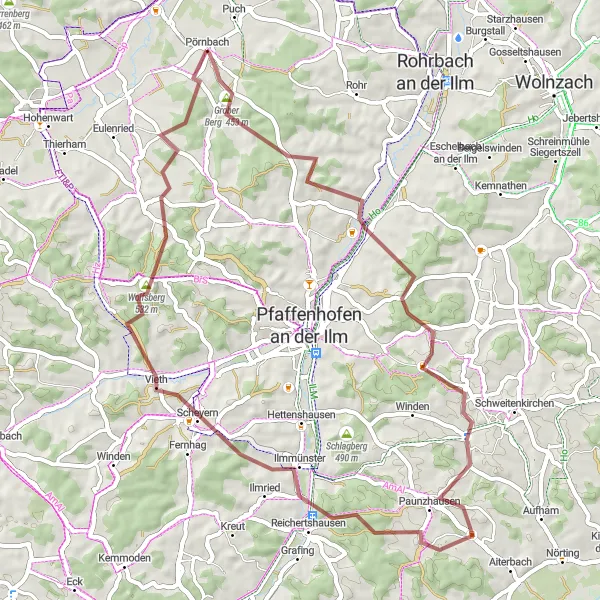
Königsfeld Hills
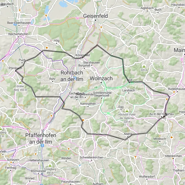
A challenging road cycling route through the hills of Königsfeld
Experience the thrill of climbing in the Königsfeld region with this 61-kilometer route. With a total ascent of 602 meters, this challenging ride will take you through scenic landscapes and charming villages. Highlights include the stunning views from the top of Eichberg, the historic village of Au in der Hallertau, and the picturesque village of Pörnbach, where the ride begins and ends.
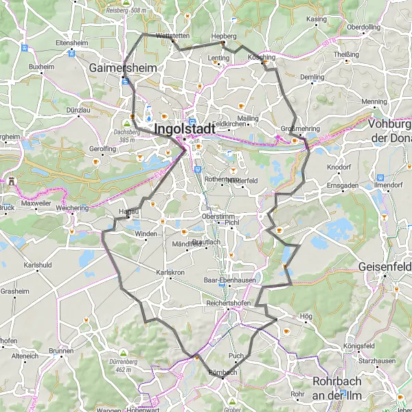
Hohenwart Circuit
A road cycling adventure through the Bavarian countryside
Embark on a scenic road cycling journey through the Bavarian countryside. This 83-kilometer route with a total ascent of 372 meters offers a mix of flat and rolling roads, perfect for enjoying the picturesque landscape. Highlights include the charming town of Hohenwart, known for its well-preserved architecture, and the historic city of Ingolstadt with its impressive Pfeiftur.
A scenic road cycling route through Moosberg
Discover the scenic beauty of Moosberg with this 79-kilometer road cycling route. With a total ascent of 353 meters, this moderately challenging ride takes you through picturesque villages and rolling countryside. Highlights include the historic town of Ingolstadt, the impressive Pfeifturm, and the charming village of Wettstetten. This route is perfect for cyclists looking to explore the diverse landscapes and cultural heritage of Oberbayern.
Pörnbach to Moosberg
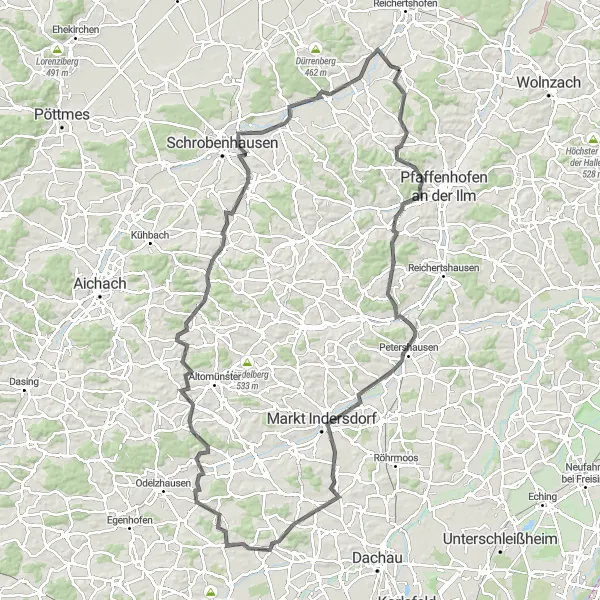
Journey from Pörnbach to Moosberg, exploring diverse landscapes
This road cycling route takes you from Pörnbach to Moosberg, providing a mix of challenging ascents and scenic rural landscapes. The total distance covered is 118 kilometers with an elevation gain of 903 meters. Along the way, you'll encounter charming villages and picturesque countryside, making it a memorable cycling experience.
Cycling routes nearby:
Nearby regions: