Hög to Winden am Aign
A gravel cycling route starting from Pornbach
Embark on a gravel adventure from Hög to Winden am Aign
Map
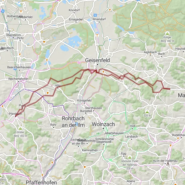
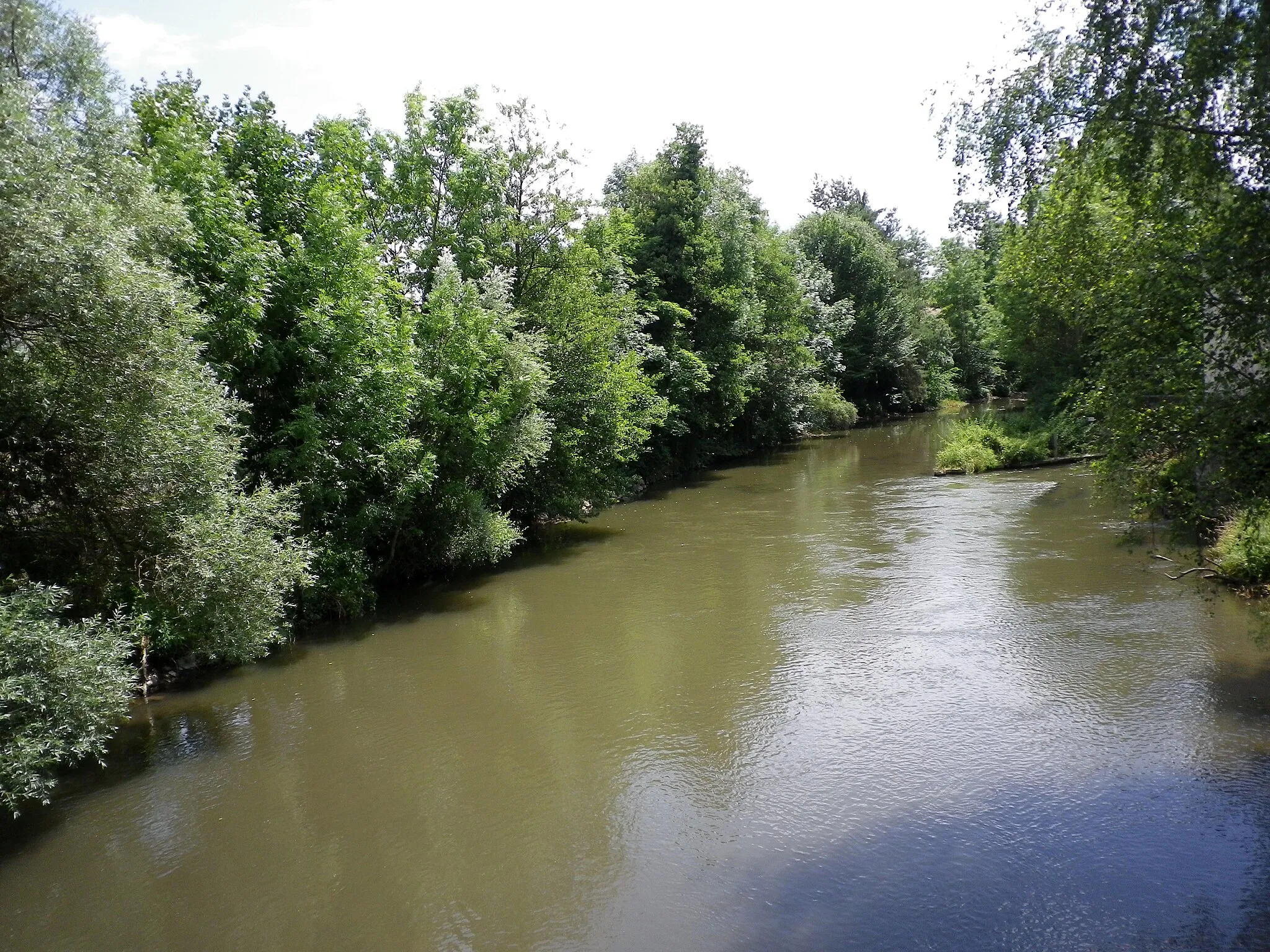
This gravel cycling route takes you from Hög to Winden am Aign, offering a challenging ascent and beautiful natural landscapes. The total distance covered is 58 kilometers with an elevation gain of 562 meters. This scenic route provides an exhilarating off-road experience in the heart of Oberbayern.
gravel
58 km
562 m
Tough
Route profile
Highlights on the route
0 km
0 km
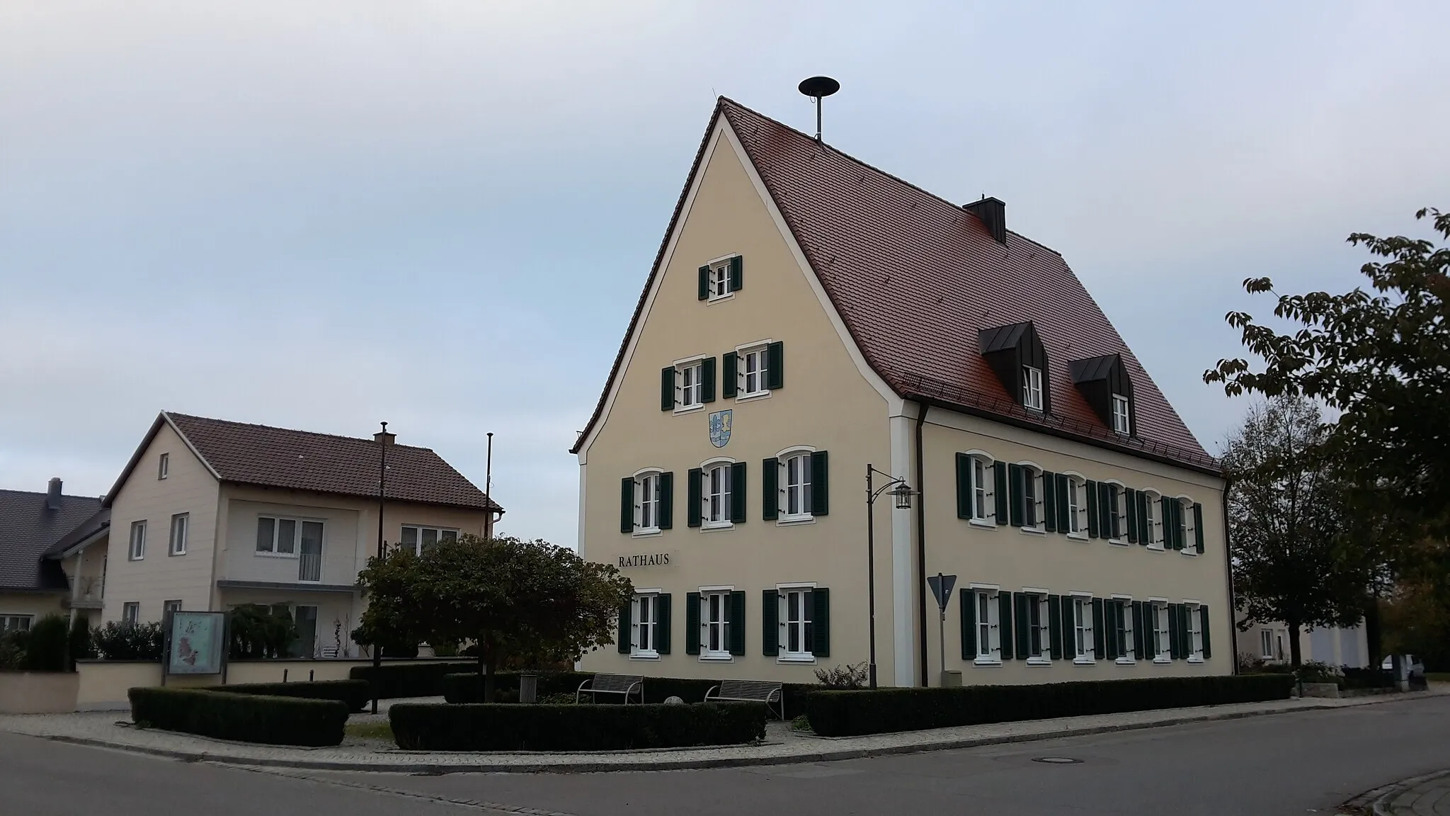
Start: Pörnbach Village centerPörnbach: Exploring the picturesque roads of Pörnbach in Oberbayern.
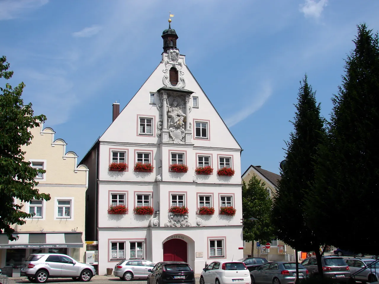
Pörnbach is a municipality located in the Oberbayern region of Germany. It is surrounded by beautiful countryside and offers some enjoyable road and gravel cycling opportunities. The area features rolling hills and well-paved roads, making it suitable for various skill levels. While Pörnbach does not have any famous climbs or monumental cycling landmarks, it provides a peaceful and scenic atmosphere for cycling enthusiasts. If you're seeking a laid-back cycling experience through charming Bavarian landscapes, then Pörnbach is worth considering.7 km
7 km
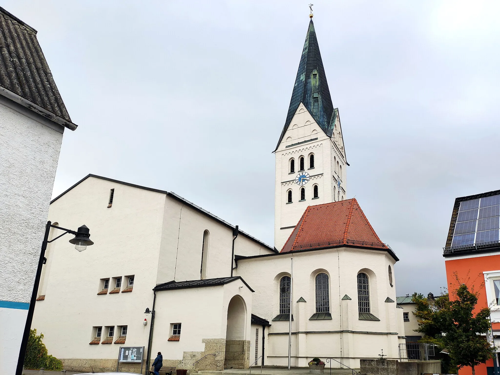
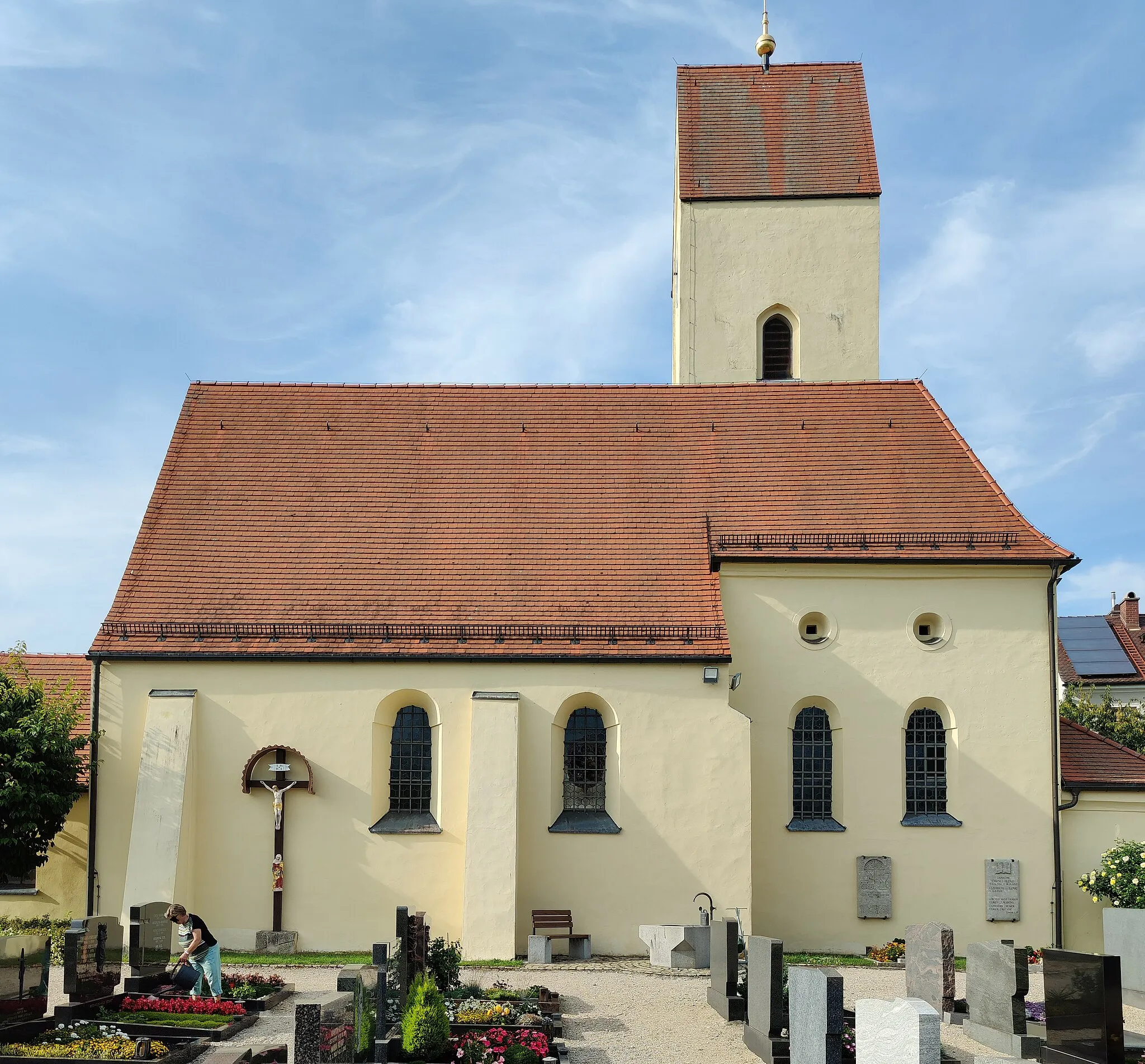
HögVillageHög offers panoramic views of the surrounding mountains and is a great starting point for mountain bike enthusiasts.
19 km
19 km
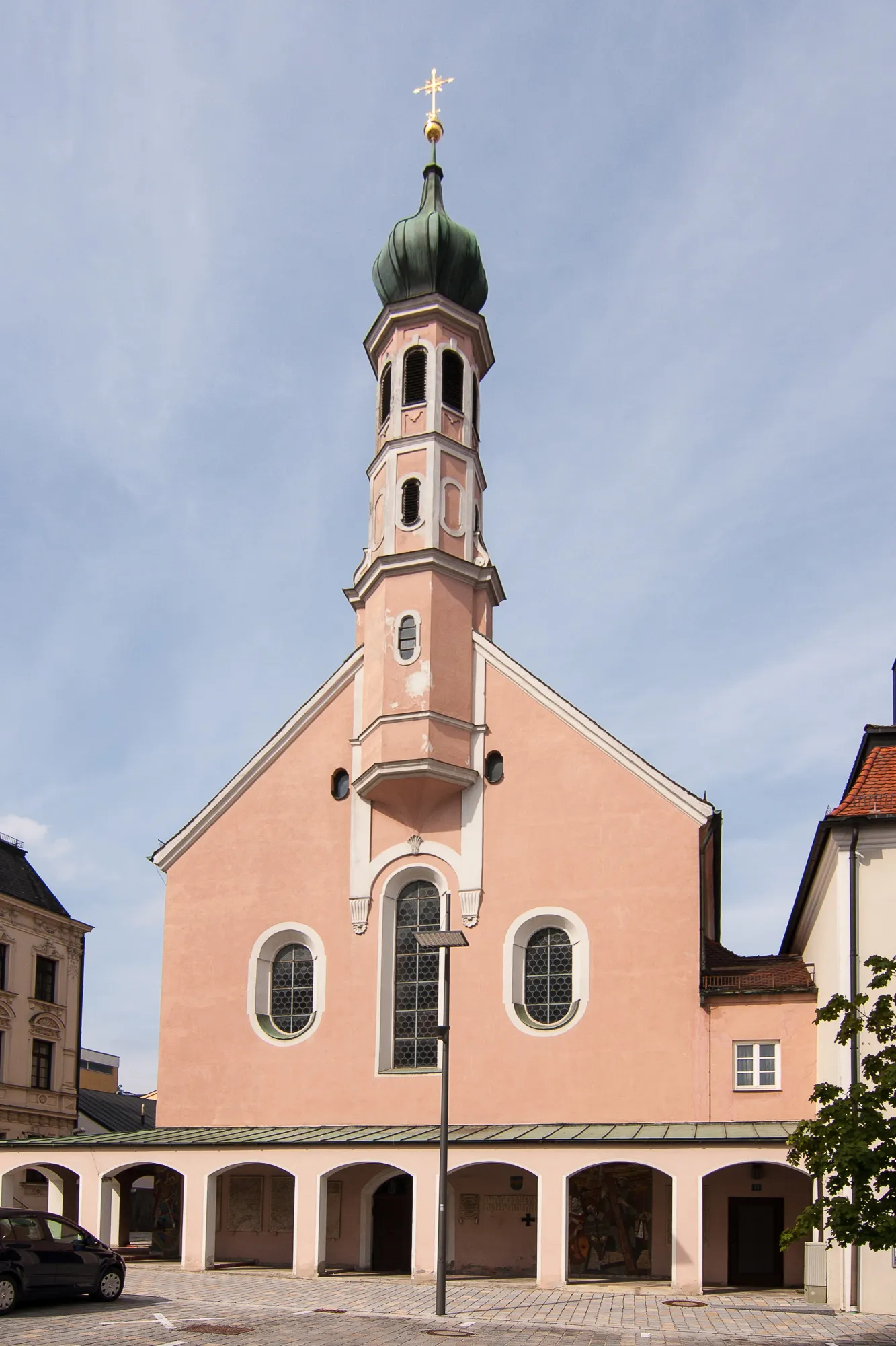
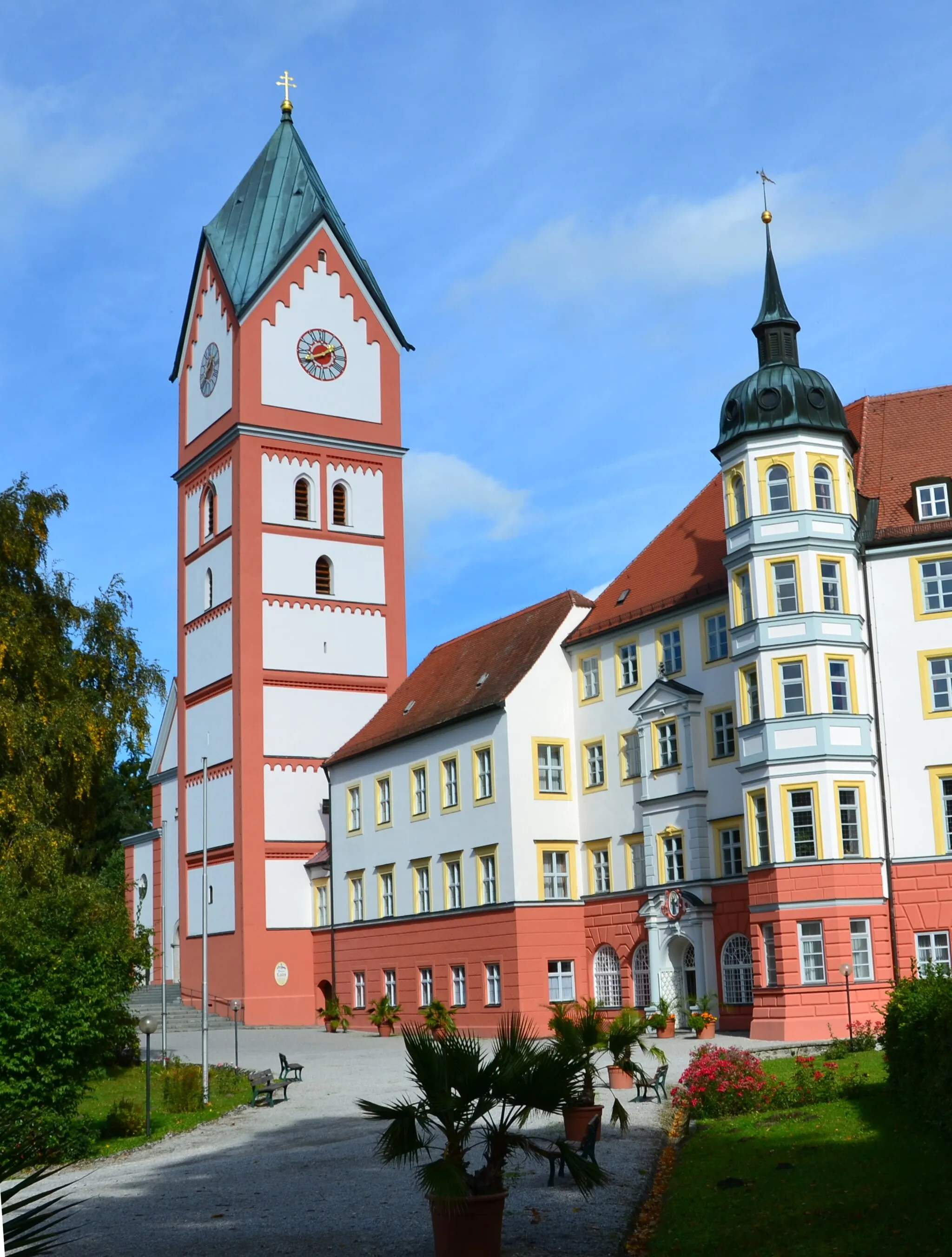
UntermettenbachVillageUntermettenbach is a small village known for its charming Bavarian architecture and tranquil atmosphere.
36 km
36 km
UnterpindhartVillageUnterpindhart is surrounded by lush forests, making it a popular spot for nature lovers and outdoor enthusiasts.
51 km
51 km
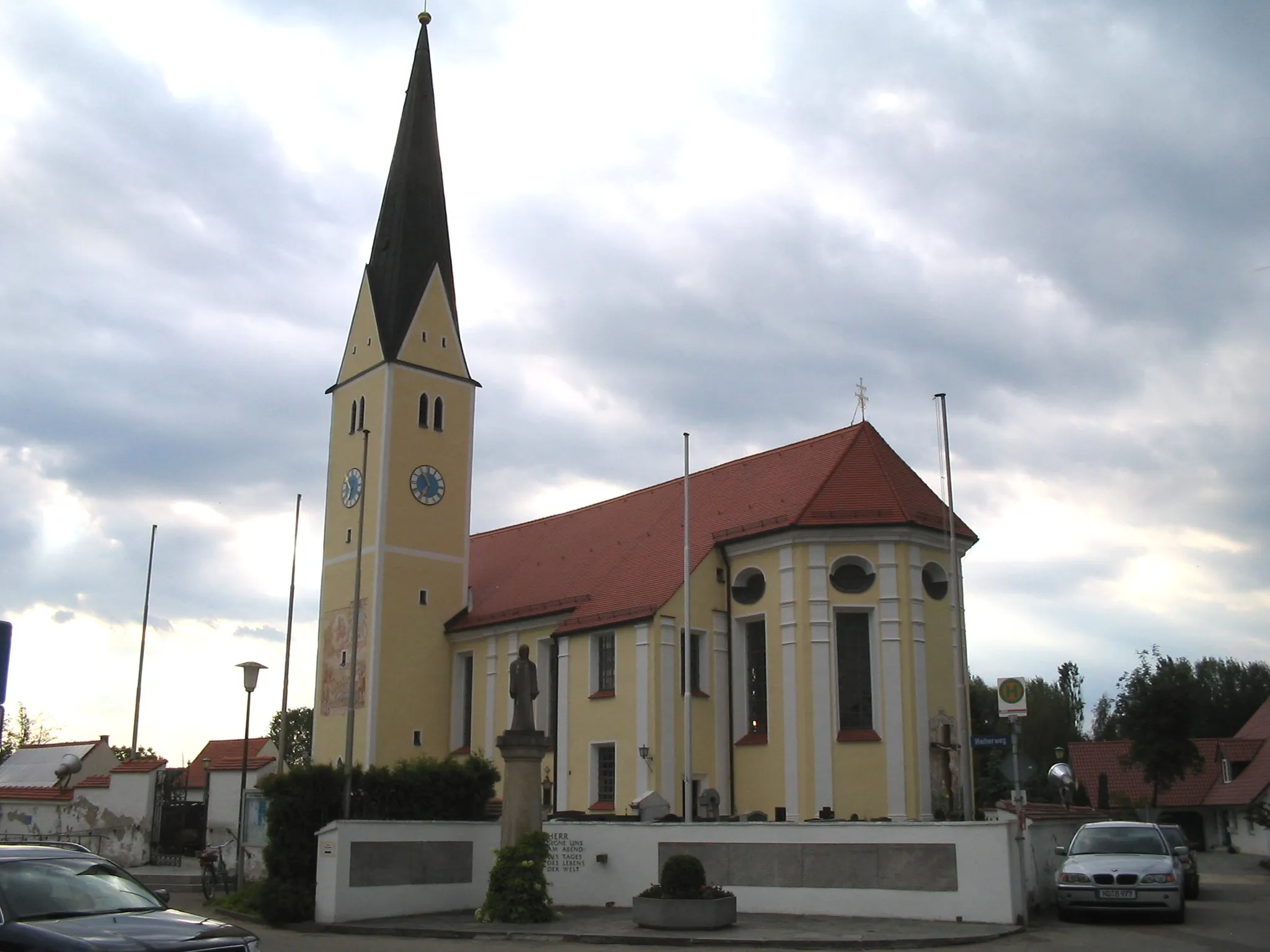
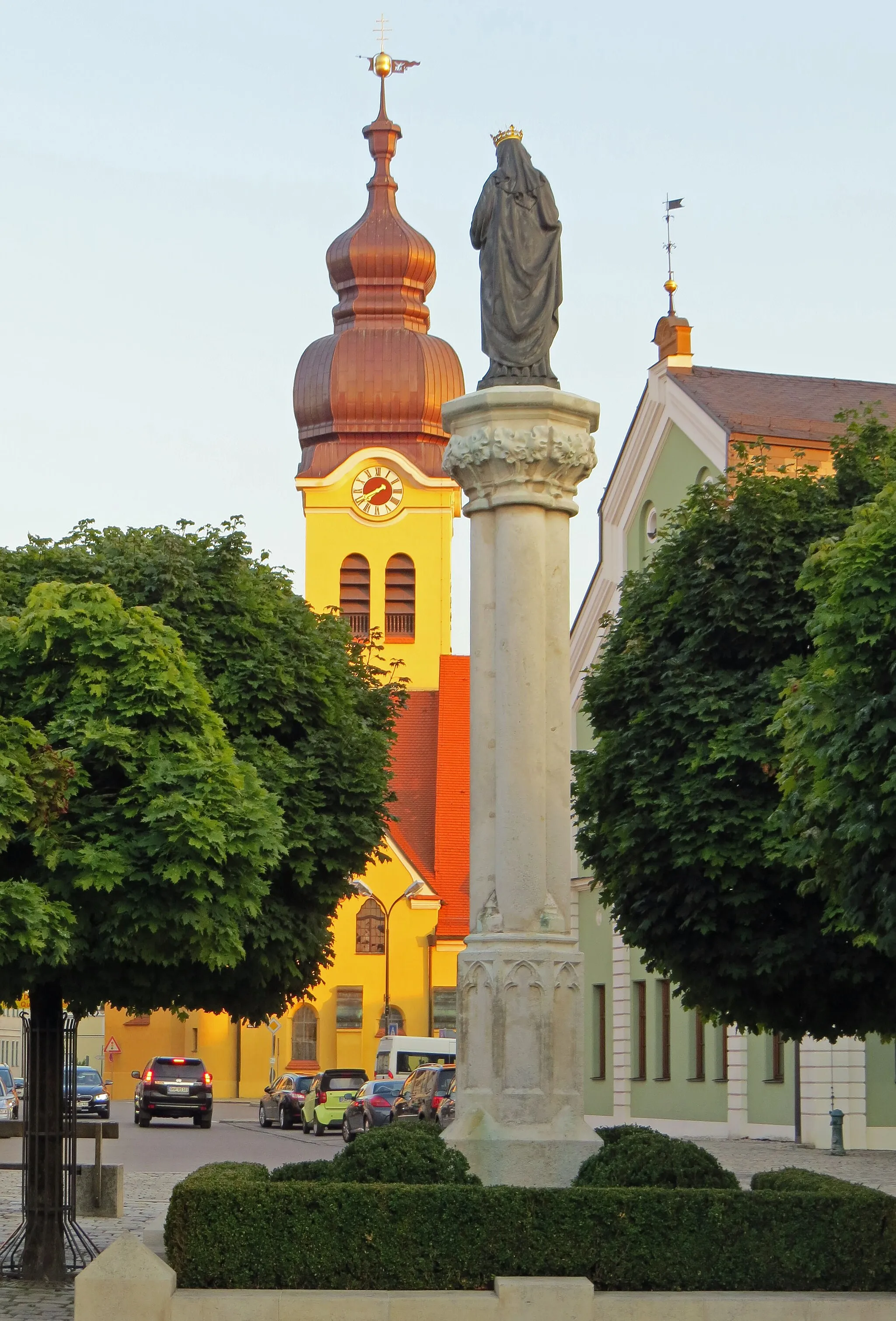
Winden am AignVillageWinden am Aign is a picturesque village with rolling hills and stunning views, perfect for gravel riding.
58 km
58 km
Finish: Pörnbach Village centerPörnbach: Exploring the picturesque roads of Pörnbach in Oberbayern.
Cycling routes nearby: