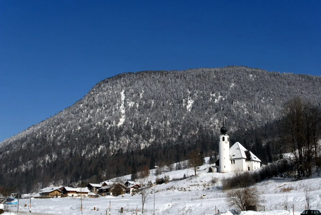
Serene Cycling Routes in Schneizlreuth's Scenic Surroundings
Cycling routes from Schneizlreuth
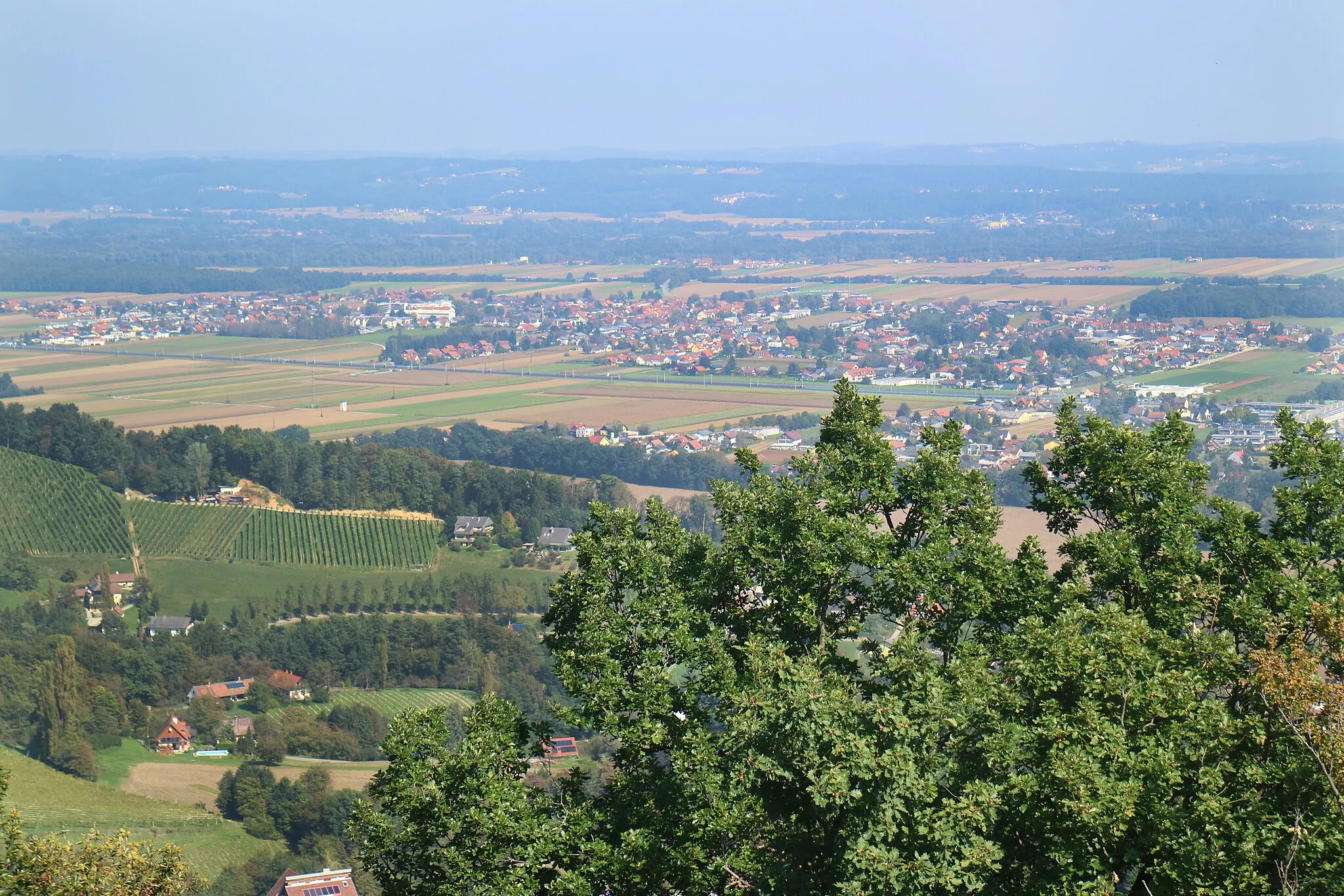
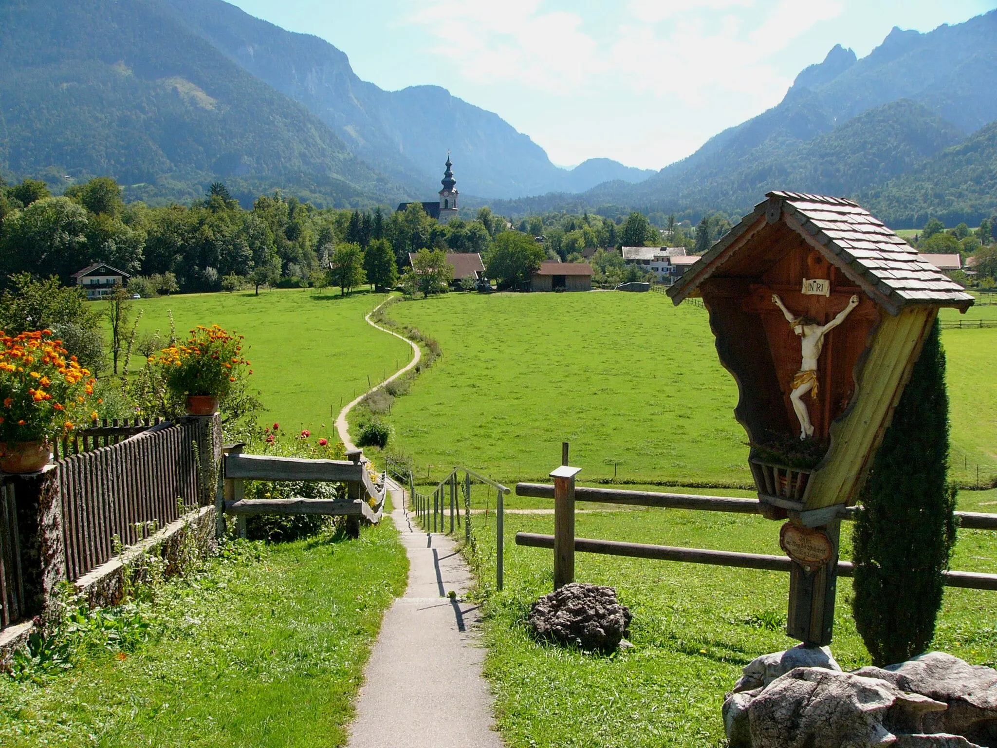
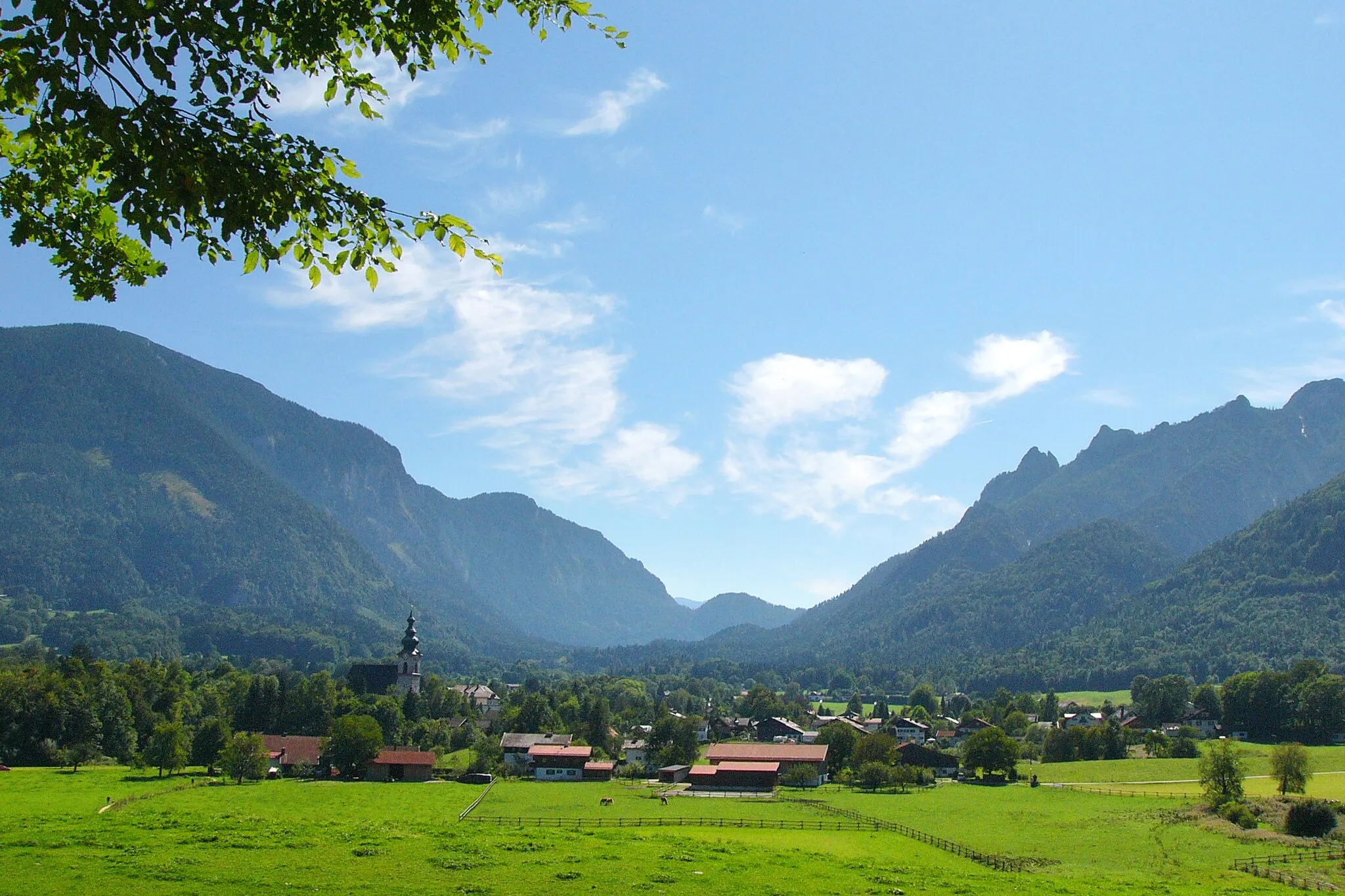
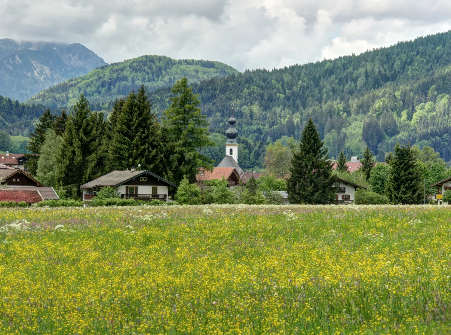
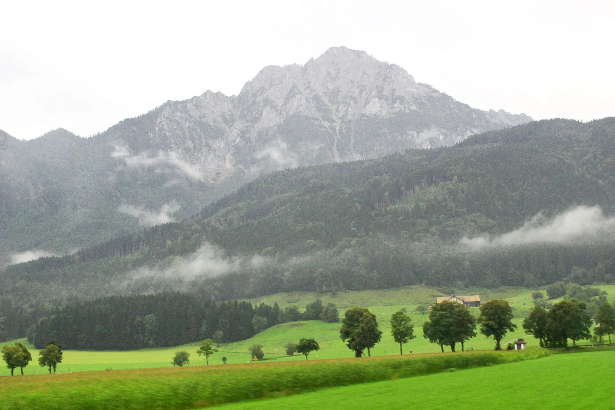
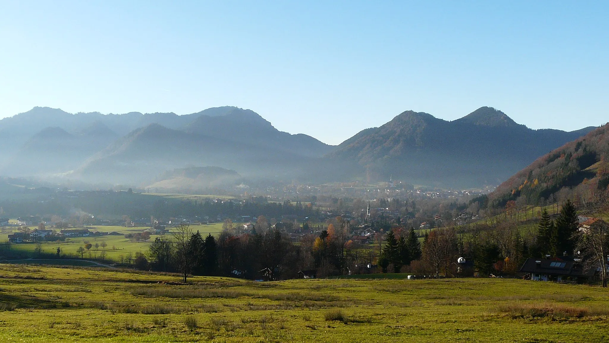
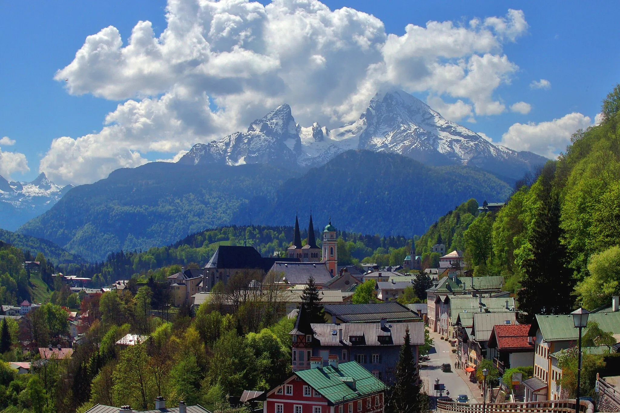
Schneizlreuth is a locality placed in the region of Oberbayern, Germany. As a cyclist, Schneizlreuth offers a range of cycling opportunities amidst a picturesque setting. The region is known for its rolling hills, serene lakes, and charming villages. Road cyclists can challenge themselves with hilly routes and enjoy stunning views of the surrounding landscapes. Gravel cyclists can explore the various gravel paths that wind through the tranquil countryside. Schneizlreuth is situated near the famous Königssee Lake, and although it does not have any well-known climbs, the peaceful atmosphere and delightful cycling routes make it a worthwhile destination.
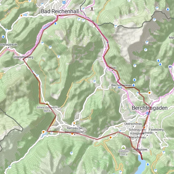
Embark on an adventurous gravel journey through challenging mountain terrain.
This gravel cycling route near Schneizlreuth takes you on an exhilarating adventure through challenging mountain terrain. The overall cycling experience is moderate to difficult, suitable for well-trained amateurs. The route offers spectacular views of the Alpine peaks and rugged landscapes. Highlights along the route include Dötzenkopf mountain, cycling through Bayerisch Gmain, Bischofswiesen village, Lockstein summit, Ramsau bei Berchtesgaden, and Kogel mountain. Other notable highlights are Schwarzbachwacht and Unterjettenberg.
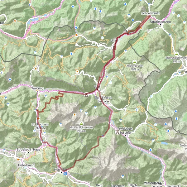
Embark on an epic gravel adventure through the spectacular alpine landscapes.
This gravel cycling route near Schneizlreuth takes you on an epic adventure through the Alps. It offers challenging climbs, thrilling descents, and breathtaking scenery. The overall cycling experience is difficult and suitable for very well-trained amateurs. The route is truly epic, with its remote and rugged trails. Highlights along the route include the picturesque Kniepass, the charming village of Lofer, the scenic Pass Grießen, and Hochfilzen. Other notable highlights are St. Ulrich am Pillersee, Mühlberg, Pass Strub, and Faistau.
Scenic Gravel Exploration
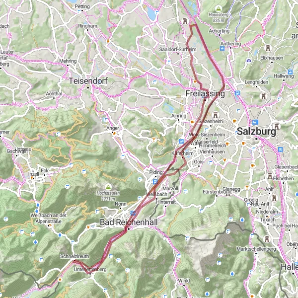
Explore the scenic gravel paths and picturesque villages on this off-road adventure.
This gravel cycling route near Schneizlreuth takes you on a scenic adventure through picturesque landscapes and charming villages. The overall cycling experience is moderate and suitable for well-trained amateurs. The route offers beautiful views of the Bavarian countryside and remote gravel paths. Highlights along the route include Kienberg, Burg Gruttenstein, Käferheim, Saalachspitz, and the town of Freilassing. Other notable highlights are Bad Reichenhall, Reichenhall Nonn, and Ulrichsholz.
Embark on a road cycling adventure from Schneizlreuth to Weißbach an der Alpenstraße, passing through iconic spots such as the Steinpass.
Cycle through picturesque landscapes and experience the thrill of iconic climbs like the Steinpass on this road cycling route from Schneizlreuth to Weißbach an der Alpenstraße. With a total ascent of 1427m over a distance of 60km, this route is suitable for well-trained amateurs. The scenic beauty and famous cycling spots along the way make this route epic, with an epicness rating of 4.
Conquer the most demanding alpine climbs and experience epic mountain passes.
This road cycling route near Schneizlreuth takes you on a challenging journey through the Alps, conquering some of the most demanding climbs and experiencing epic mountain passes. The overall cycling experience is difficult and suitable for very well-trained amateurs. The route offers panoramic views of the mountains and exhilarating descents. Highlights along the route include the exhilarating Steinpass, picturesque Unken, Seegatterl, Walmberg, Marquartstein, Siegsdorf, Niederachen, and Inzeller Kienbergl (Kreuzspitz).
Experience the stunning alpine vistas and challenging climbs on this road cycling route.
This road cycling route near Schneizlreuth takes you through picturesque alpine landscapes, with challenging climbs and rewarding descents. The route offers stunning views of the mountains and a chance to experience the beauty of Bavaria. The overall cycling experience is moderate to difficult, suitable for very well-trained amateurs. The route is epic with its breathtaking mountain scenery and country-wide fame. Highlights along the route include the charming village of Weißbach an der Alpenstraße, the scenic Auer Berg, Eisenärzt mountain, Guntramshügel hill, and the panoramic view of Oberteisendorf. Other notable highlights are Teisendorf, Bad Reichenhall, and Ulrichsholz.
Schneizlreuth Road Cycling
Experience the beautiful road cycling routes near Schneizlreuth.
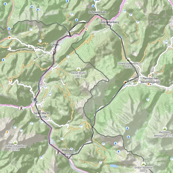
Discover scenic landscapes and challenging climbs on this road cycling route near Schneizlreuth. With an ascent of 1345 meters and a distance of 55 kilometers, it offers a great workout for well-trained amateurs. The route includes highlights such as Schwarzbachwacht and Hirschbichlstraße, providing breathtaking views along the way.
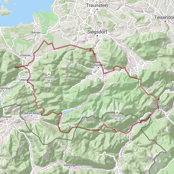
Embark on an extreme gravel challenge near Schneizlreuth.
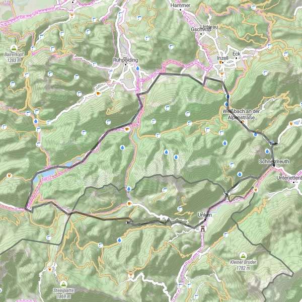
Prepare yourself for an epic and demanding gravel challenge near Schneizlreuth. With an ascent of 2450 meters and a distance of 102 kilometers, this route is only suitable for experienced and well-trained cyclists seeking the ultimate adventure. Highlights along the way include Steinpass, Winklmoosalm, Marquartstein, and Ruhpolding, each offering their own unique appeal and scenic beauty.
Schneizlreuth Gravel Adventure
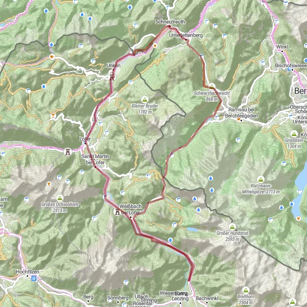
Embark on a gravel adventure from Schneizlreuth.
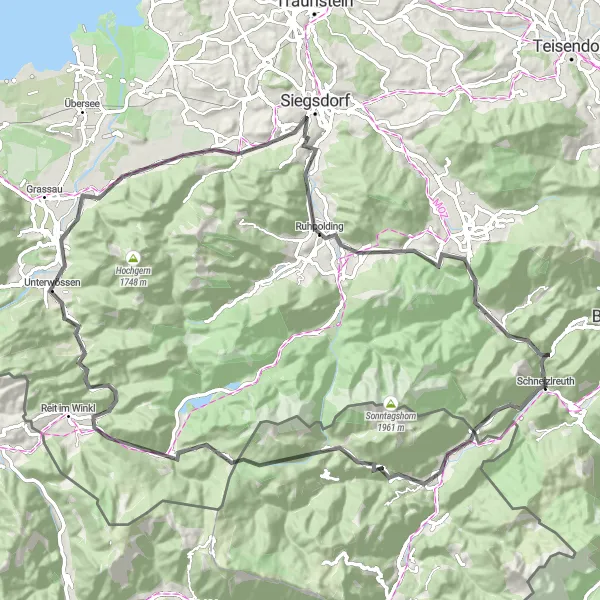
Experience the thrill of off-road cycling on this gravel route starting near Schneizlreuth. With an ascent of 1604 meters and a distance of 75 kilometers, it offers a challenging terrain for well-trained amateurs seeking an exciting outdoor adventure. Highlights include Hirschbichlstraße, Frohnwies, and Sonnkögerl, providing unique experiences along the way.
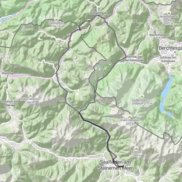
Experience the beauty of the Schwarzbachwacht and the enchanting Zauberwald along this road cycling route.
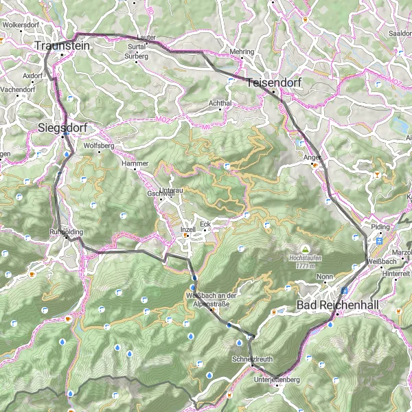
This route takes you from Schneizlreuth to Saalfelden, offering stunning views of the Schwarzbachwacht, the magical Zauberwald, and the scenic Hirschbichl. With a challenging ascent of 1628m over a distance of 89km, this route is best suited for well-trained amateurs. The epicness of the ride is rated at 4, thanks to the legendary climbs and famous spots along the way.
Cycling routes nearby:

Nearby regions: