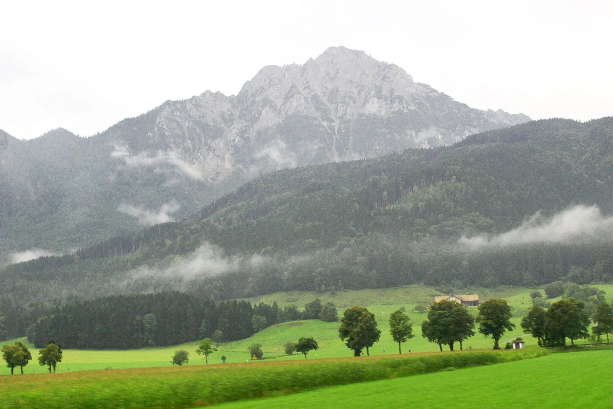
Discover diverse cycling routes and breathtaking alpine scenery in Bad Reichenhall.
Cycling routes from Bad Reichenhall
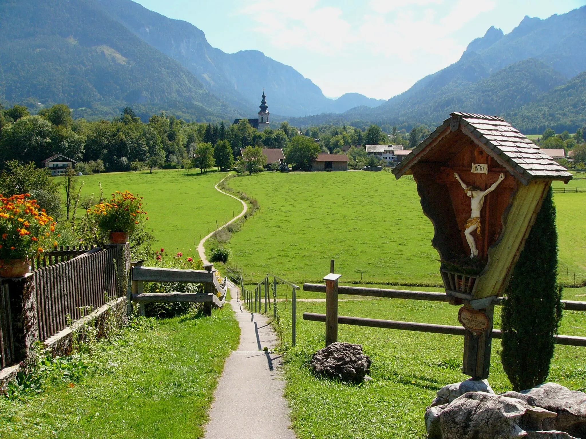
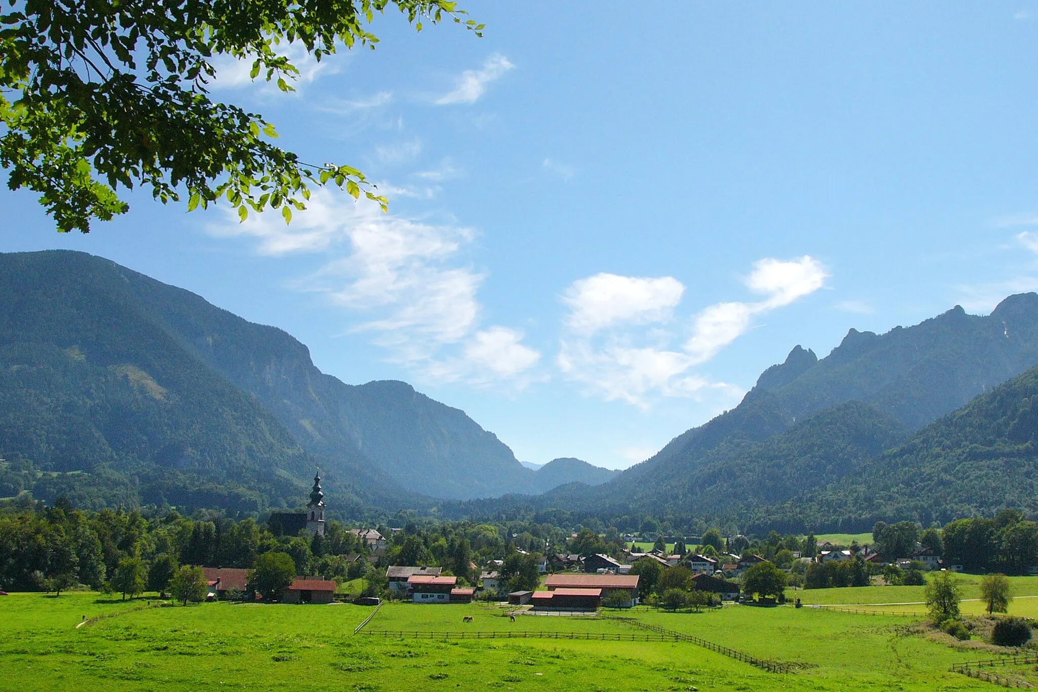
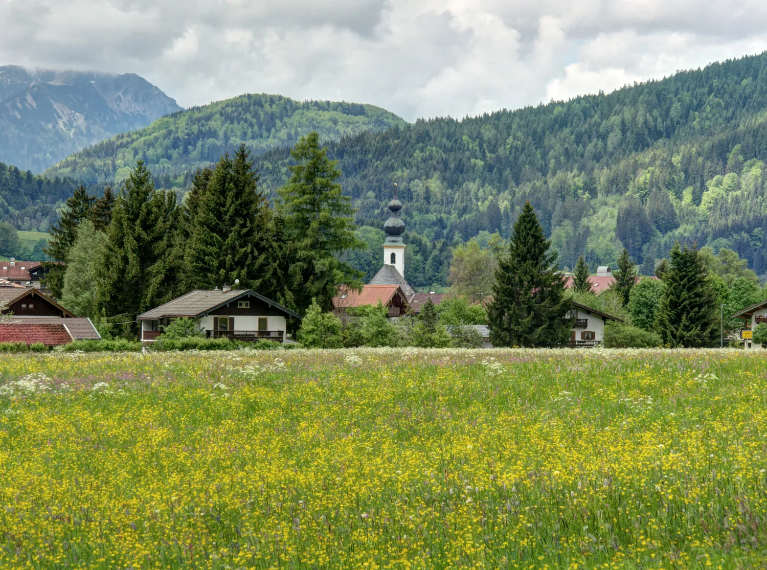
Bad Reichenhall is a town located in the Oberbayern region of Germany. From a cyclist's perspective, Bad Reichenhall offers a combination of flat and hilly routes that are suitable for both road and gravel cycling. The town is known for its stunning alpine scenery and makes for a great base for exploring the surrounding area. Notable cycling spots nearby include the famous Rossfeld Panoramastraße, which offers breathtaking views and challenging climbs. Bad Reichenhall is an excellent choice for cyclists looking for diverse terrain and beautiful landscapes.
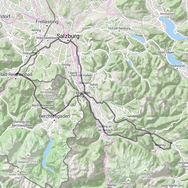
Take on the challenge of an elite-level cycling route in Oberbayern, starting near Bad Reichenhall
This demanding road cycling route spans 126 km with a challenging ascent of 2044 m. Highlights along the way, such as Hangar 7 and Markt, add cultural and scenic diversity to the journey. This route is recommended only for well-trained cyclists looking for a hardcore challenge.
Enjoy a scenic ride through the charming villages near Bad Reichenhall in Oberbayern
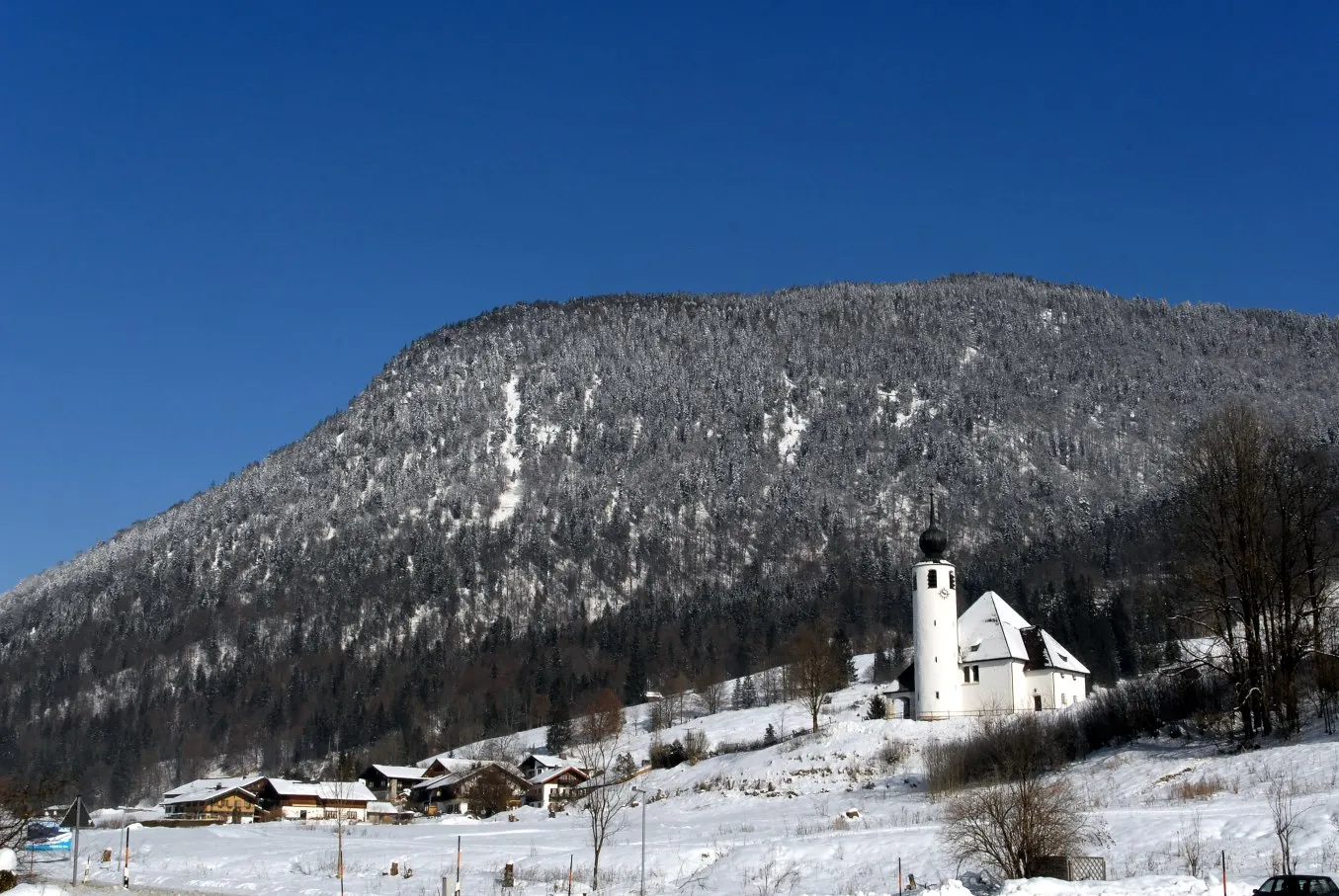
This leisurely road cycling route covers 62 km with a manageable ascent of 945 m. Highlights along the way, such as Ruine Karlstein and Teisendorf, showcase a blend of historic architecture and natural beauty. This route is perfect for those seeking a relaxed cycling experience with plenty of opportunities to soak in the picturesque surroundings.
Immerse yourself in the cultural heritage of Bad Reichenhall and surrounding areas on this road cycling loop.
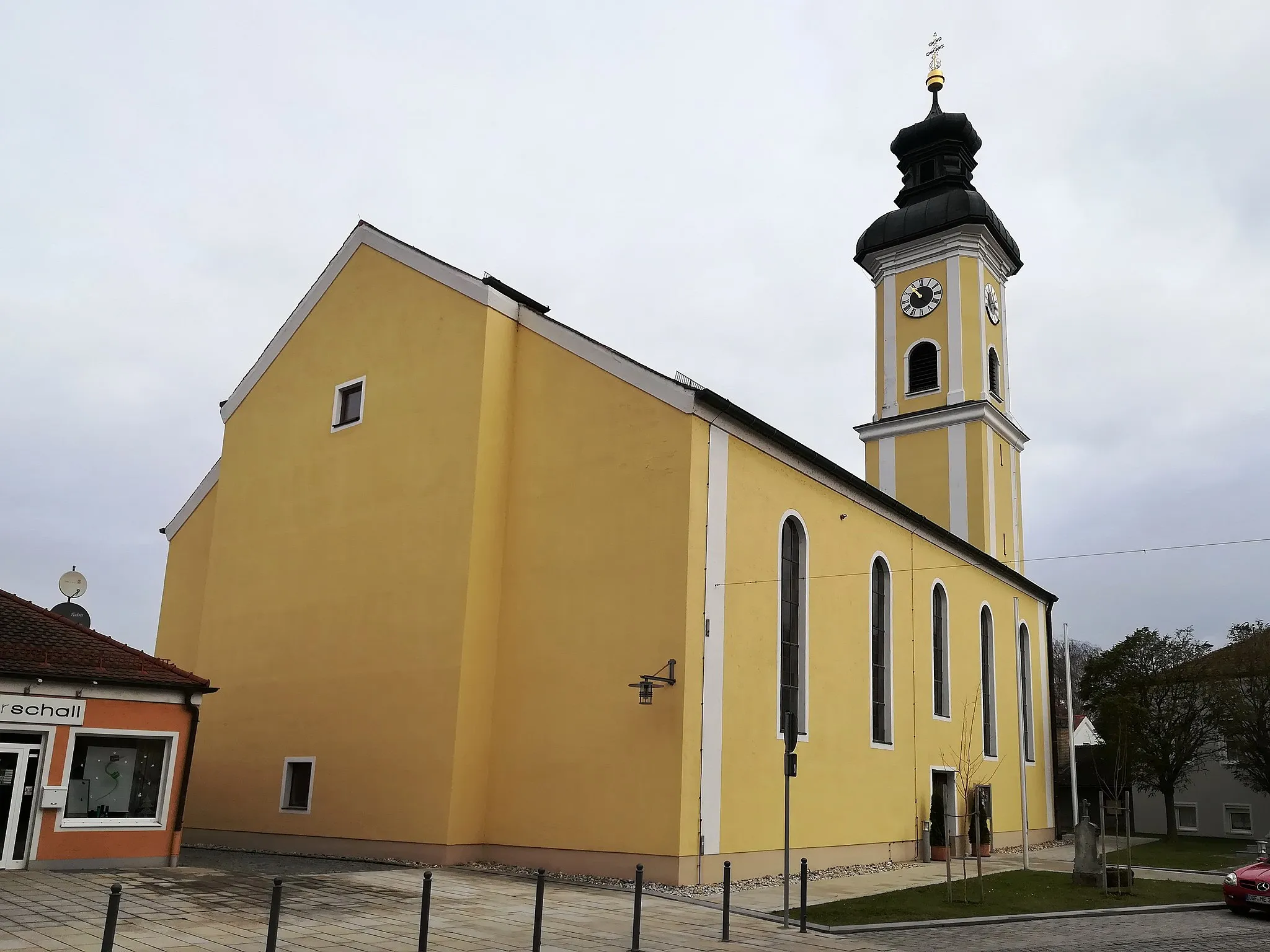
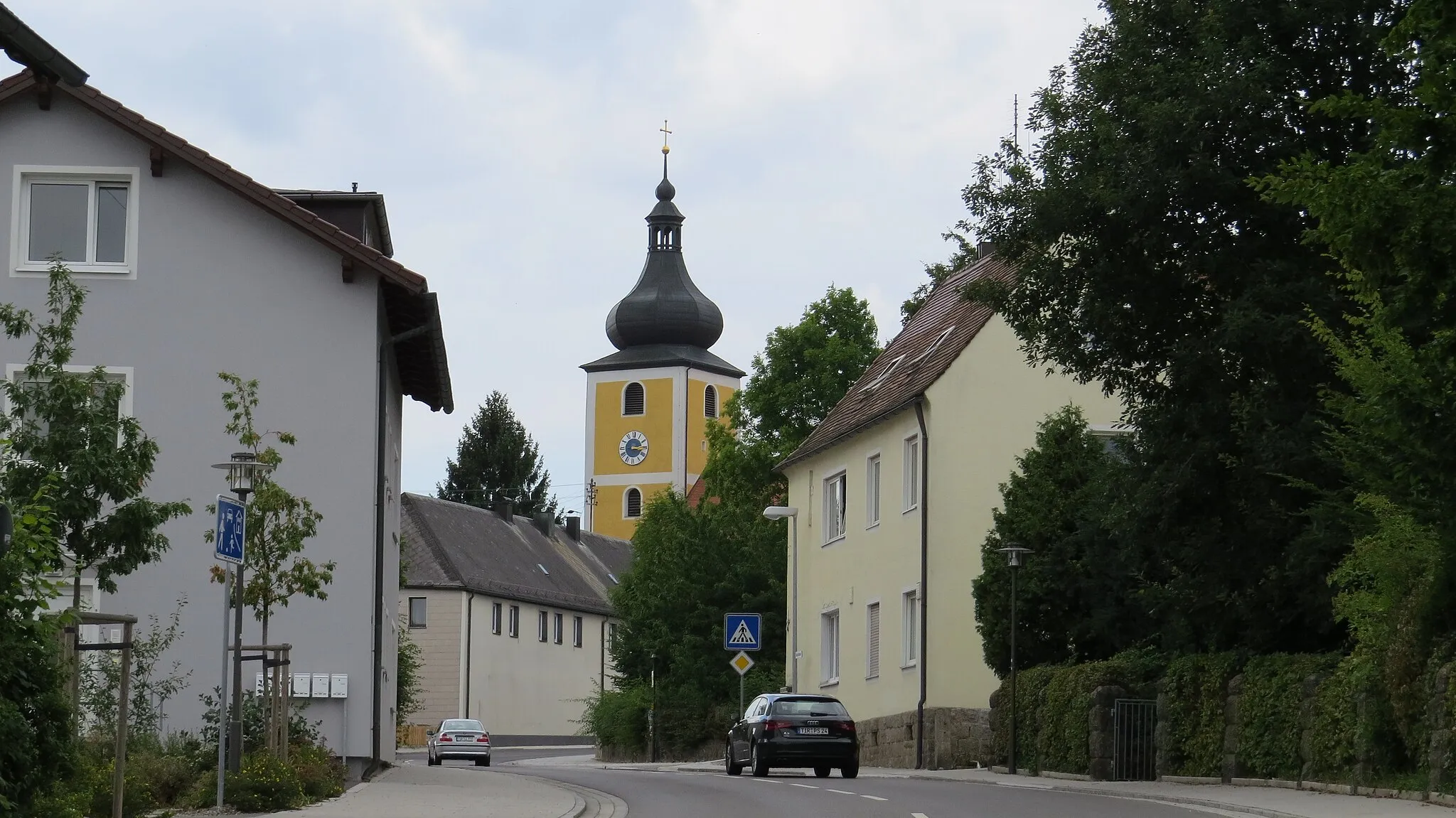
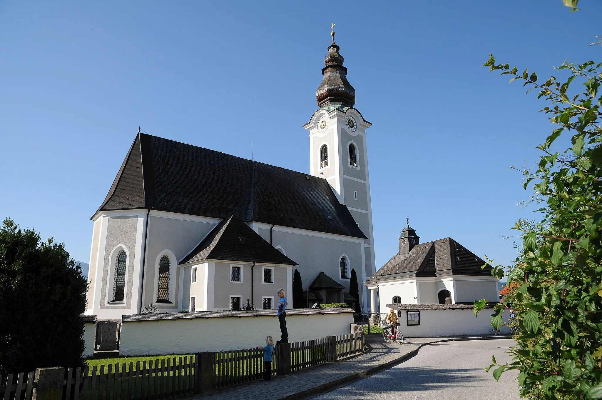
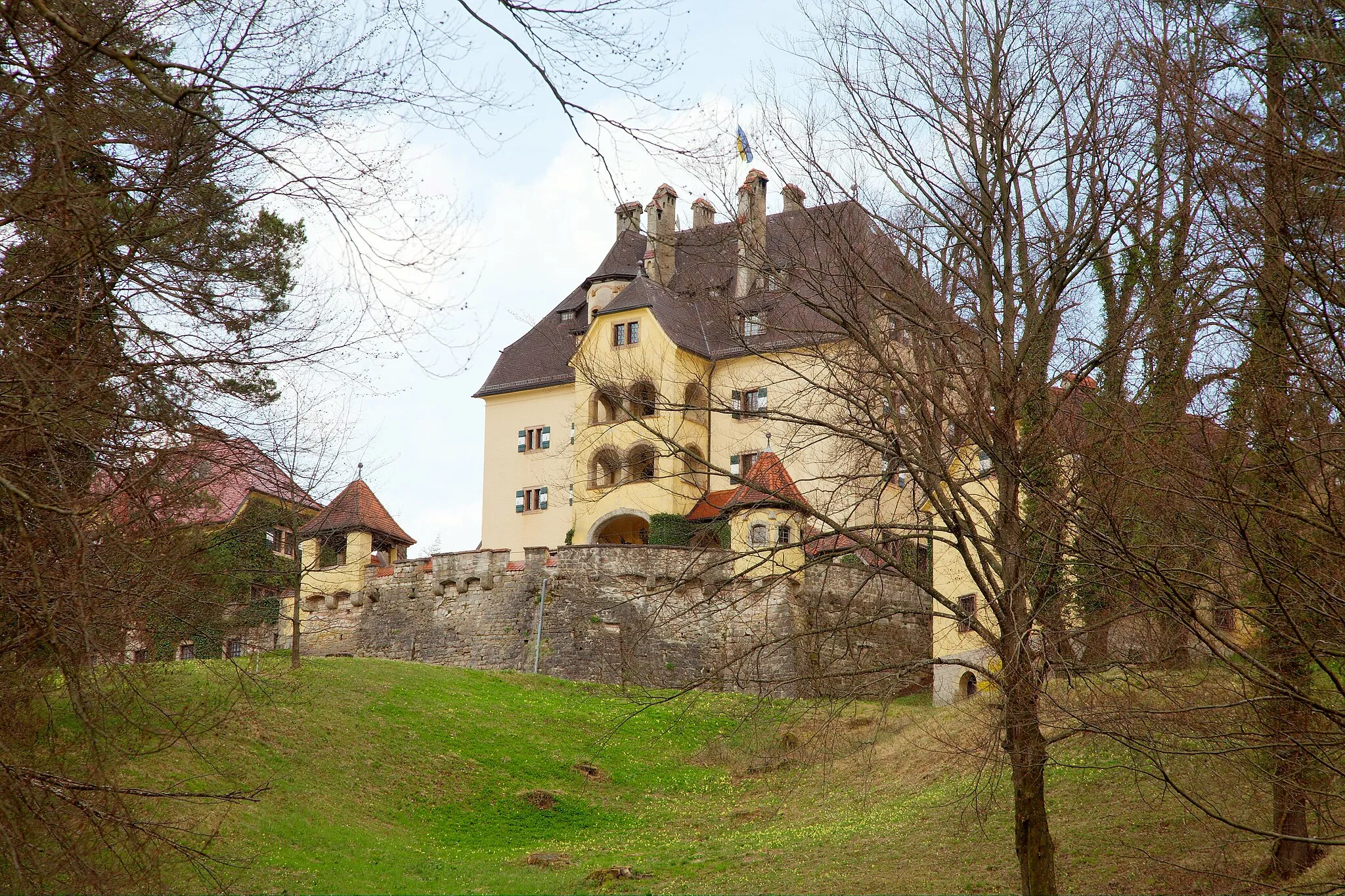
Take a journey through the cultural heritage of Bad Reichenhall and its surroundings on this 56-kilometer road cycling loop. The route offers a moderate ascent with a total elevation gain of 458 meters. As you ride, you'll have the opportunity to explore historic sites, such as Kapuzinerberg and Schloss Neuhaus. The route is suitable for road bikes and primarily follows quiet country roads. Highlights include the picturesque town center of Bad Reichenhall and the stunning views from Burg Gruttenstein.
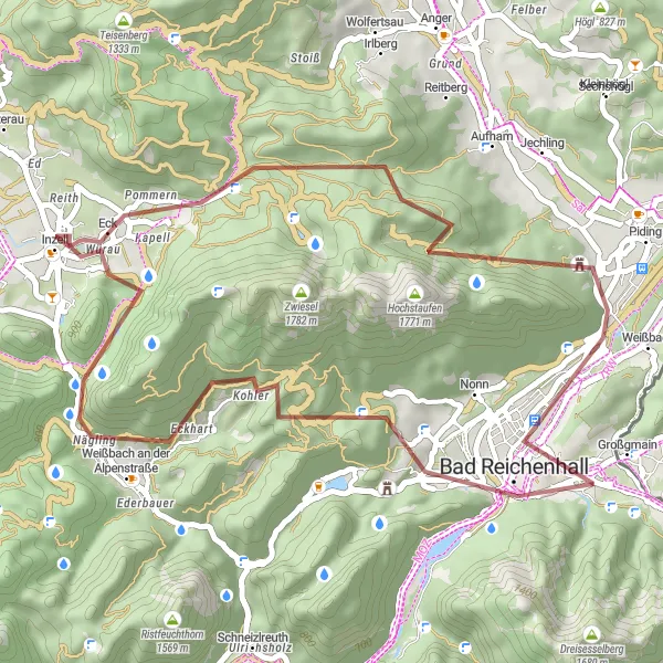
Escape into the enchanting natural landscapes surrounding Bad Reichenhall on this idyllic gravel ride
This scenic gravel route covers 43 km with a modest ascent of 1246 m. Highlights along the way, such as Großer Turm and Hochstaufen, offer a mix of natural beauty and historical significance. Perfect for nature lovers seeking solace in the great outdoors, this route guarantees a rejuvenating cycling experience.
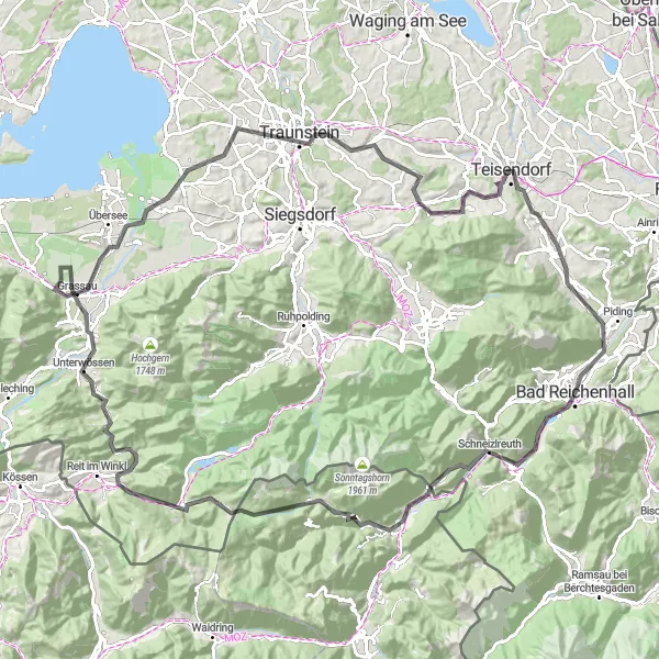
Cycle through beautiful landscapes near Bad Reichenhall
This scenic cycling route near Bad Reichenhall takes you through beautiful landscapes and charming towns. The route offers a mix of challenging climbs and enjoyable descents, making it suitable for well-trained amateur cyclists. With a total distance of 120 kilometers and an elevation gain of 1945 meters, it provides a satisfying cycling experience. Explore highlights along the way, including Reichenhall Nonn, Schneizlreuth, and Hochgimpling. Score these highlights based on their attractiveness and interest level, ranging from 1 (not worth stopping by) to 5 (country-wide famous spots).
Embark on a gravel adventure through Nonn and the scenic Saalach Valley, visiting Moos-Observatorium and moVELO Fahrradverleih along the way.
Get ready for an exciting gravel adventure through Nonn and the picturesque Saalach Valley. This 64-kilometer loop provides stunning landscapes and the chance to explore charming towns and attractions along the way. With an ascent of 700 meters, this route offers a moderate challenge suitable for gravel bikes. Highlights include the unique Moos-Observatorium and the Saalacherlebniswelt. Nonn is also known for its traditional Bavarian charm. Enjoy the mix of off-road trails and country roads that characterize this route.
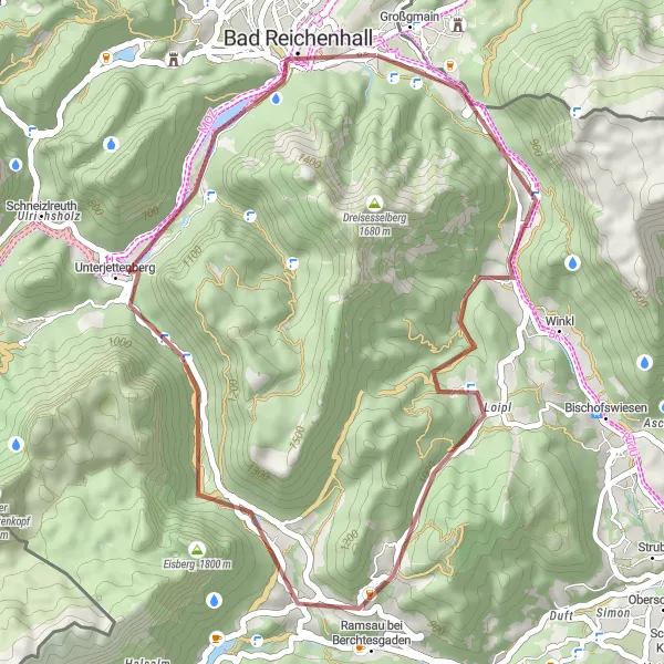
Discover the charming towns of Großgmain and Ramsau bei Berchtesgaden on this scenic gravel loop near Bad Reichenhall.
This gravel loop near Bad Reichenhall takes you through picturesque landscapes and charming towns. You'll have the opportunity to explore Großgmain and Ramsau bei Berchtesgaden along the way. The route offers a moderate ascent with a total distance of 37 kilometers and an elevation gain of 919 meters. It is suitable for gravel bikes and provides a mix of off-road trails and quiet country roads. The highlights of the route include the historic town centers of Großgmain and Ramsau bei Berchtesgaden.
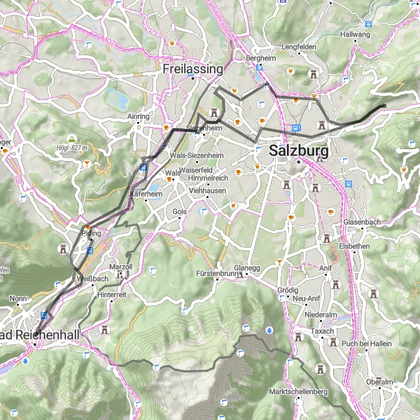
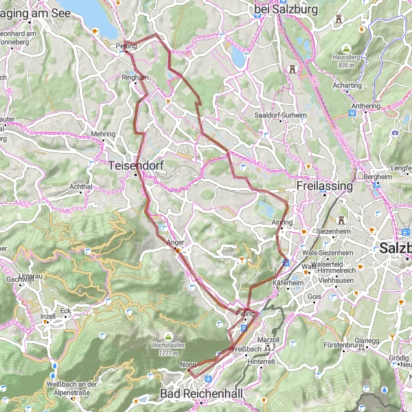
Scenic Salzach Valley Road Ride
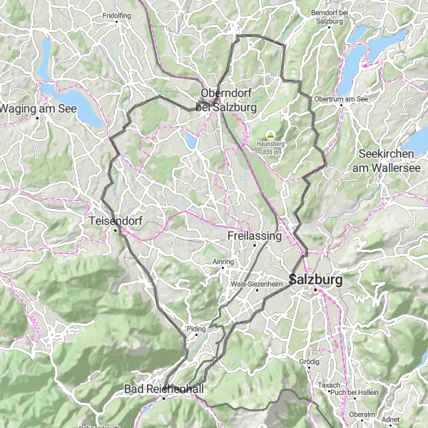
Ride through the scenic Salzach Valley, exploring Teisendorf and Nußdorf am Haunsberg on this road cycling route.
Experience the beauty of the Salzach Valley on this 94-kilometer road cycling route. The ride takes you through scenic landscapes and charming towns, including Teisendorf and Nußdorf am Haunsberg. Prepare for a challenging climb with an elevation gain of 1052 meters. The route is suitable for road bikes and primarily follows country roads and bike paths. Highlights include the picturesque views from Salzach and the historical town center of Nußdorf am Haunsberg.
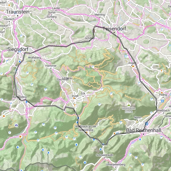
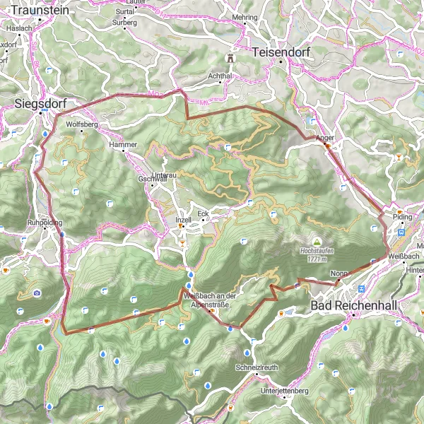
Embark on an exciting gravel adventure through the rugged terrains near Bad Reichenhall in Oberbayern
This thrilling gravel route spans 75 km with a challenging ascent of 2284 m. Highlights along the way, such as Bichler Alm and Jagdschloss Ruhpolding, provide off-road excitement and breathtaking scenery. This route is suitable for experienced gravel cyclists seeking adventure in a picturesque natural setting.
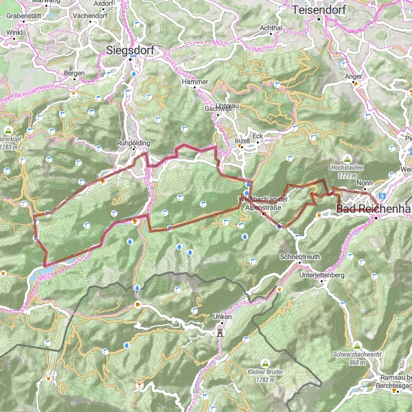
Embark on an unforgettable alpine adventure, exploring Weißbach an der Alpenstraße and Ruhpolding on this gravel ride.
Get ready for an epic cycling adventure through the Alps. This 65-kilometer gravel ride will take you through some of the most stunning alpine scenery near Bad Reichenhall. Prepare for a challenging ascent with an elevation gain of 1580 meters. Along the way, you'll have the opportunity to explore the charming towns of Weißbach an der Alpenstraße and Ruhpolding. The route is suitable for gravel bikes and offers a mix of gravel paths and country roads. Highlights include the scenic views from Menkenberg and the picturesque town center of Ruhpolding.
Cycling routes nearby:

Nearby regions: