Gravel Adventure in Oberbayern
A gravel cycling route starting from Bad Reichenhall
Embark on an exciting gravel adventure through the rugged terrains near Bad Reichenhall in Oberbayern
Map
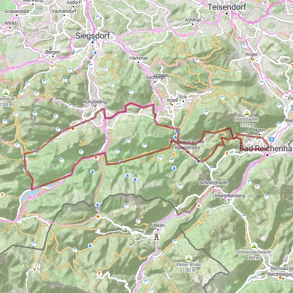
This thrilling gravel route spans 75 km with a challenging ascent of 2284 m. Highlights along the way, such as Bichler Alm and Jagdschloss Ruhpolding, provide off-road excitement and breathtaking scenery. This route is suitable for experienced gravel cyclists seeking adventure in a picturesque natural setting.
gravel
75 km
2284 m
Savage
Route profile
Highlights on the route
0 km
0 km
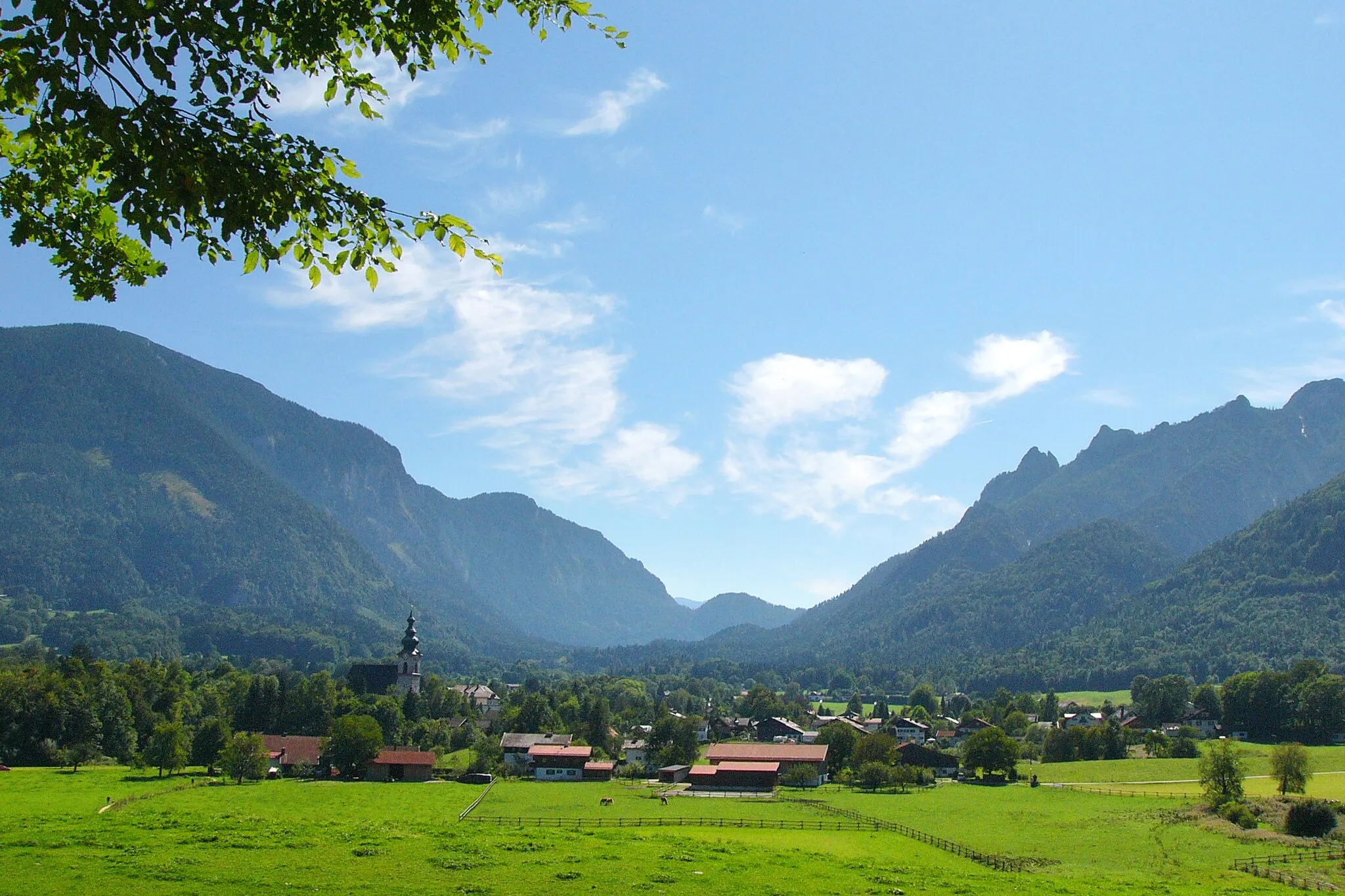
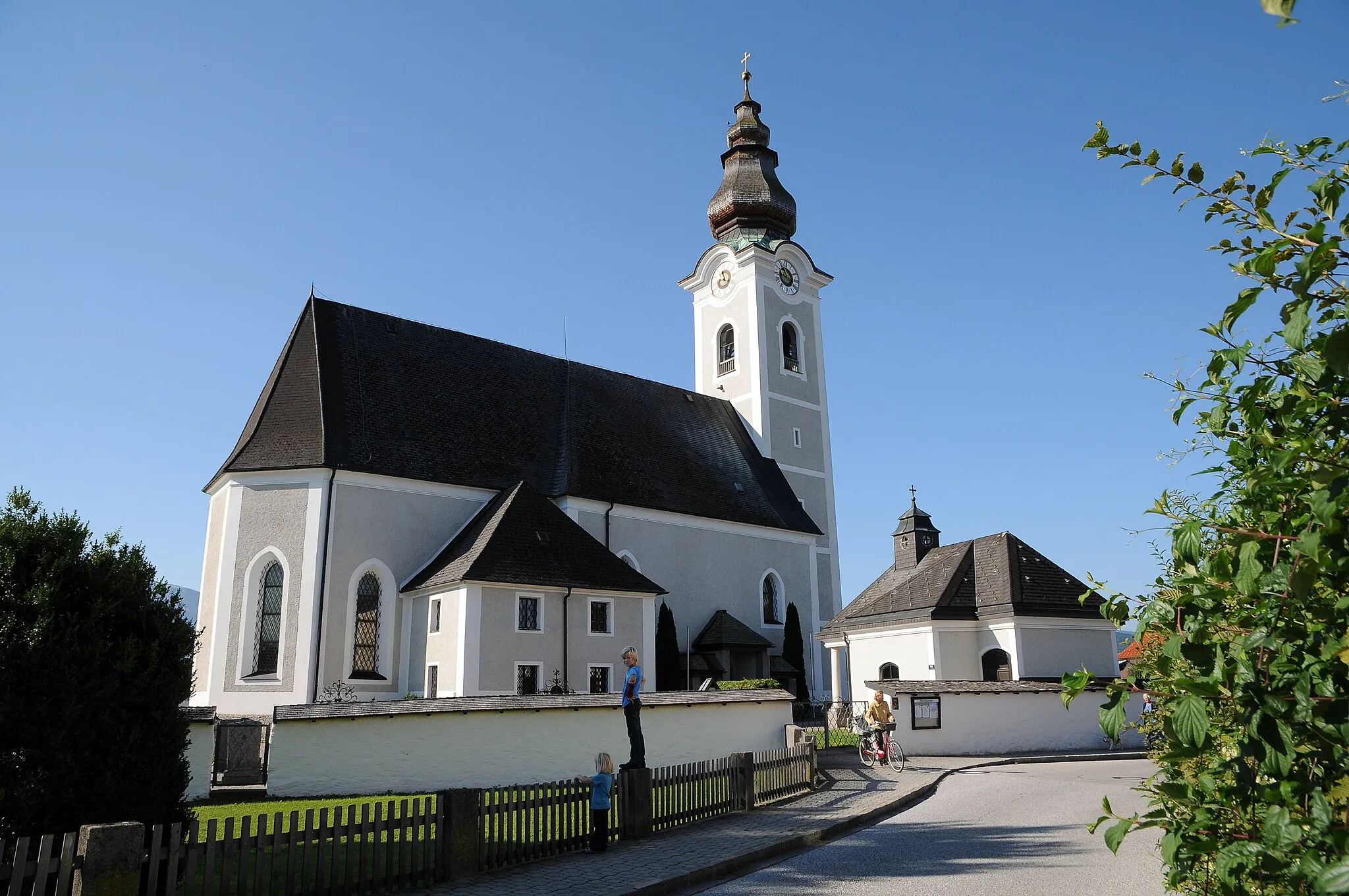
Start: Bad Reichenhall City centerBad Reichenhall: Discover diverse cycling routes and breathtaking alpine scenery in Bad Reichenhall.
Bad Reichenhall is a town located in the Oberbayern region of Germany. From a cyclist's perspective, Bad Reichenhall offers a combination of flat and hilly routes that are suitable for both road and gravel cycling. The town is known for its stunning alpine scenery and makes for a great base for exploring the surrounding area. Notable cycling spots nearby include the famous Rossfeld Panoramastraße, which offers breathtaking views and challenging climbs. Bad Reichenhall is an excellent choice for cyclists looking for diverse terrain and beautiful landscapes.0 km
0 km
Bad ReichenhallTownBad Reichenhall is a vibrant town famous for its rich history and relaxing thermal baths.
17 km
17 km
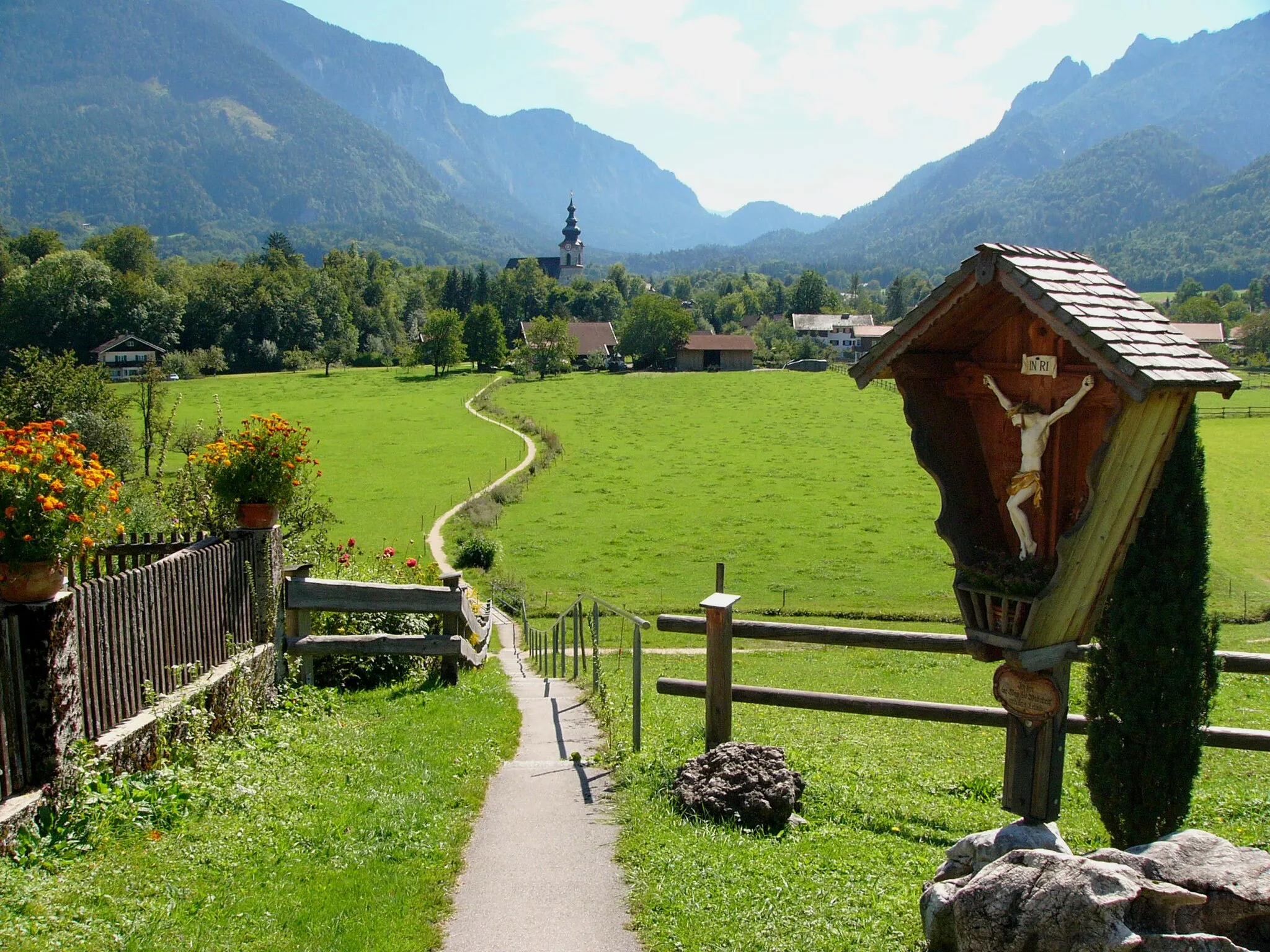
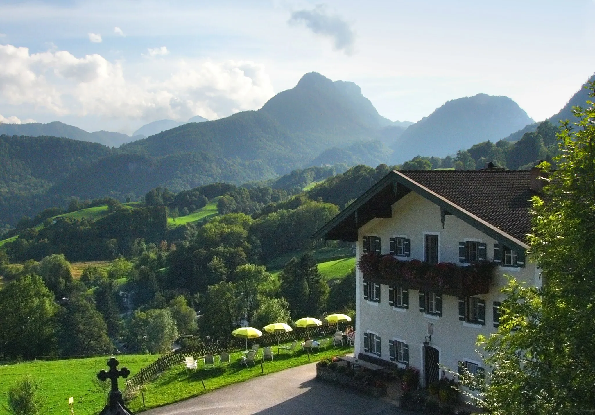
Bichler AlmViewpointBichler Alm is a discovery in the mountains, offering a serene escape with panoramic views.
35 km
35 km
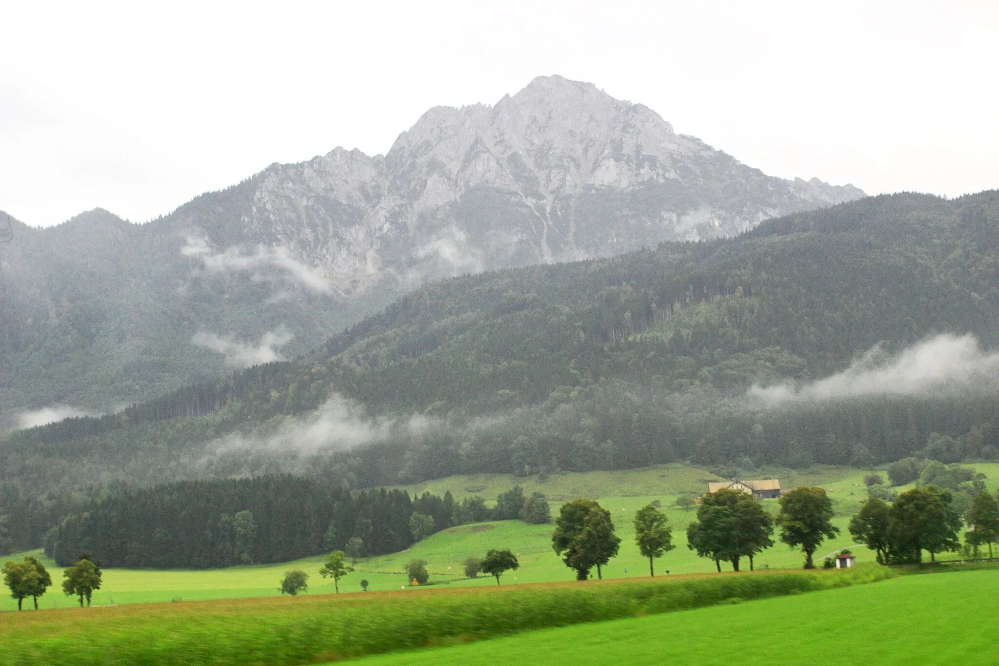
Tempelberg1215 mPeakTempelberg is a hidden gem amidst nature, offering peace and tranquility to weary travellers.
40 km
40 km
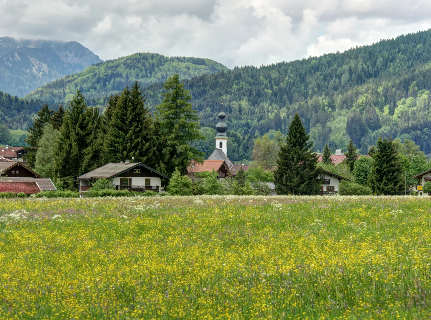
UrschlauHamletUrschlau charms cyclists with its rugged beauty and winding roads that snake through dense forests.
47 km
47 km
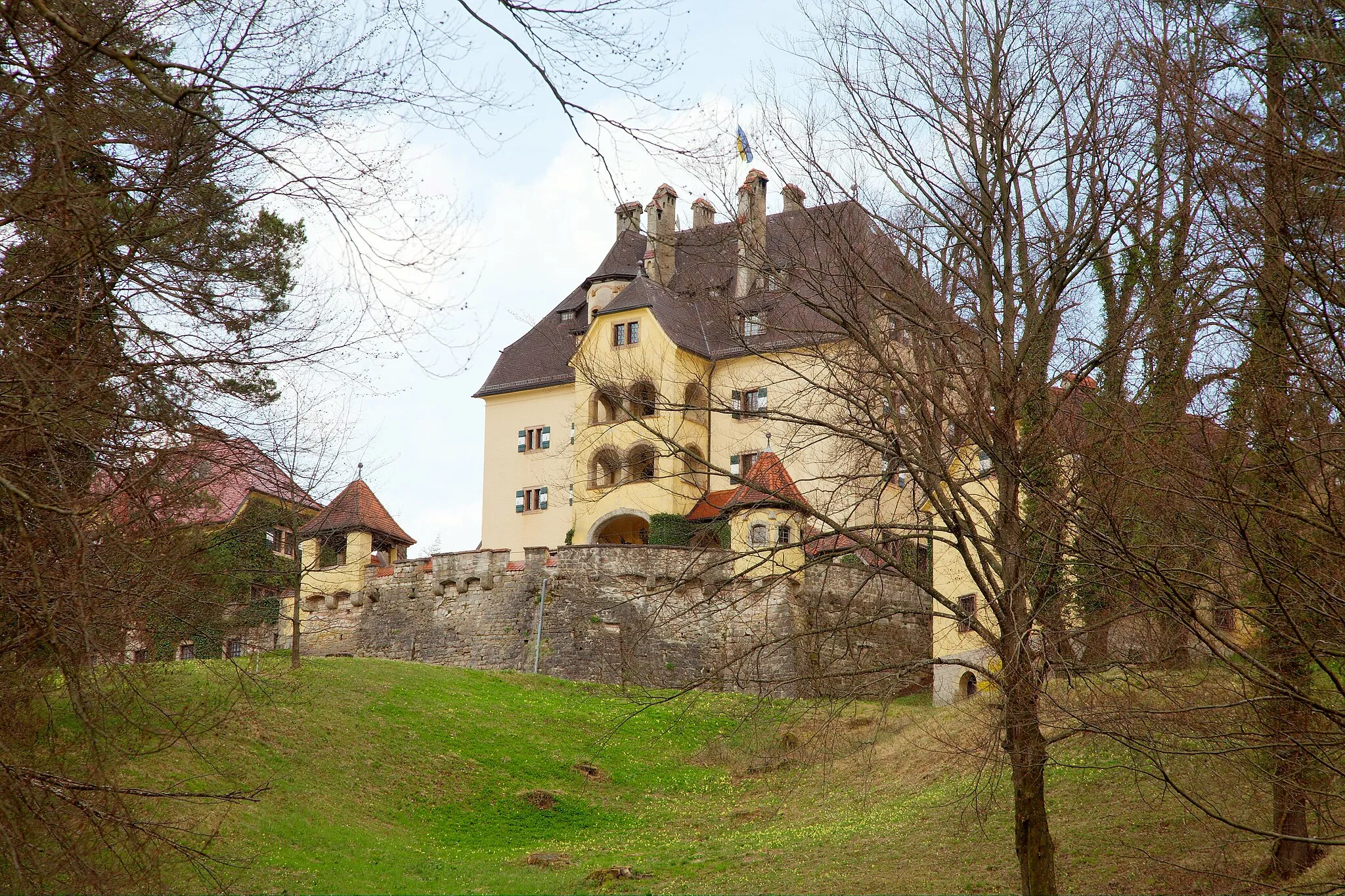
Jagdschloss RuhpoldingCastleJagdschloss Ruhpolding, a historic hunting lodge, provides an intriguing glimpse into Bavaria's rich hunting heritage.
53 km
53 km
Auer Berg903 mPeakAuer Berg, at an elevation of 53 meters, rewards cyclists with panoramic vistas of the surrounding mountains.
72 km
72 km
Ruine KarlsteinCastleRuine Karlstein transports visitors to a bygone era with its majestic ruins and captivating history.
74 km
74 km
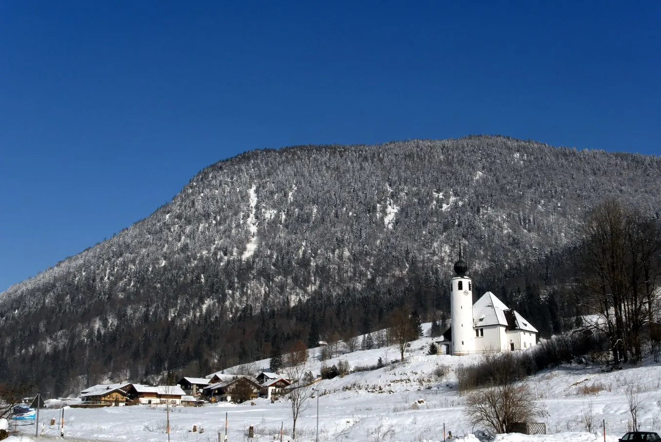
Reichenhall NonnViewpointReichenhall Nonn is a tranquil village nestled in a picturesque setting, perfect for a peaceful break.
75 km
75 km
Finish: Bad Reichenhall City centerBad Reichenhall: Discover diverse cycling routes and breathtaking alpine scenery in Bad Reichenhall.
Cycling routes from Bad Reichenhall:
A Mountainous Adventure in Oberbayern Elite Cycling Adventure Through Oberbayern Scenic Ride Through the Charming Villages of Oberbayern Gravel Adventure in Oberbayern Nature's Retreat: An Idyllic Gravel Ride near Bad Reichenhall Großgmain and Ramsau bei Berchtesgaden Gravel Loop Alpine Adventure Gravel Ride Bad Reichenhall Cultural Road Loop Scenic Salzach Valley Road Ride Nonn and Saalach Valley Gravel Experience Bad Reichenhall Loop
Cycling routes nearby: