Alpine Adventure Gravel Ride
A gravel cycling route starting from Bad Reichenhall
Embark on an unforgettable alpine adventure, exploring Weißbach an der Alpenstraße and Ruhpolding on this gravel ride.
Map
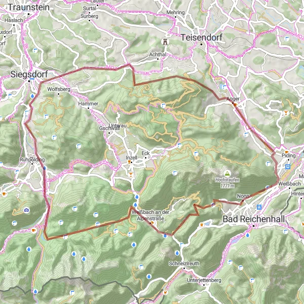
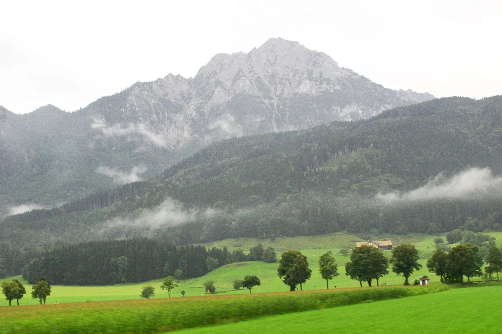
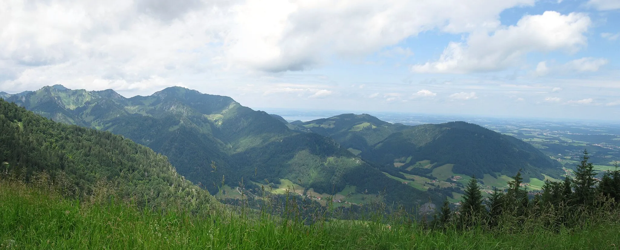
Get ready for an epic cycling adventure through the Alps. This 65-kilometer gravel ride will take you through some of the most stunning alpine scenery near Bad Reichenhall. Prepare for a challenging ascent with an elevation gain of 1580 meters. Along the way, you'll have the opportunity to explore the charming towns of Weißbach an der Alpenstraße and Ruhpolding. The route is suitable for gravel bikes and offers a mix of gravel paths and country roads. Highlights include the scenic views from Menkenberg and the picturesque town center of Ruhpolding.
gravel
65 km
1580 m
Tough
Route profile
Highlights on the route
0 km
0 km
Start: Nonn Village centerBad Reichenhall: Discover diverse cycling routes and breathtaking alpine scenery in Bad Reichenhall.
Bad Reichenhall is a town located in the Oberbayern region of Germany. From a cyclist's perspective, Bad Reichenhall offers a combination of flat and hilly routes that are suitable for both road and gravel cycling. The town is known for its stunning alpine scenery and makes for a great base for exploring the surrounding area. Notable cycling spots nearby include the famous Rossfeld Panoramastraße, which offers breathtaking views and challenging climbs. Bad Reichenhall is an excellent choice for cyclists looking for diverse terrain and beautiful landscapes.11 km
11 km
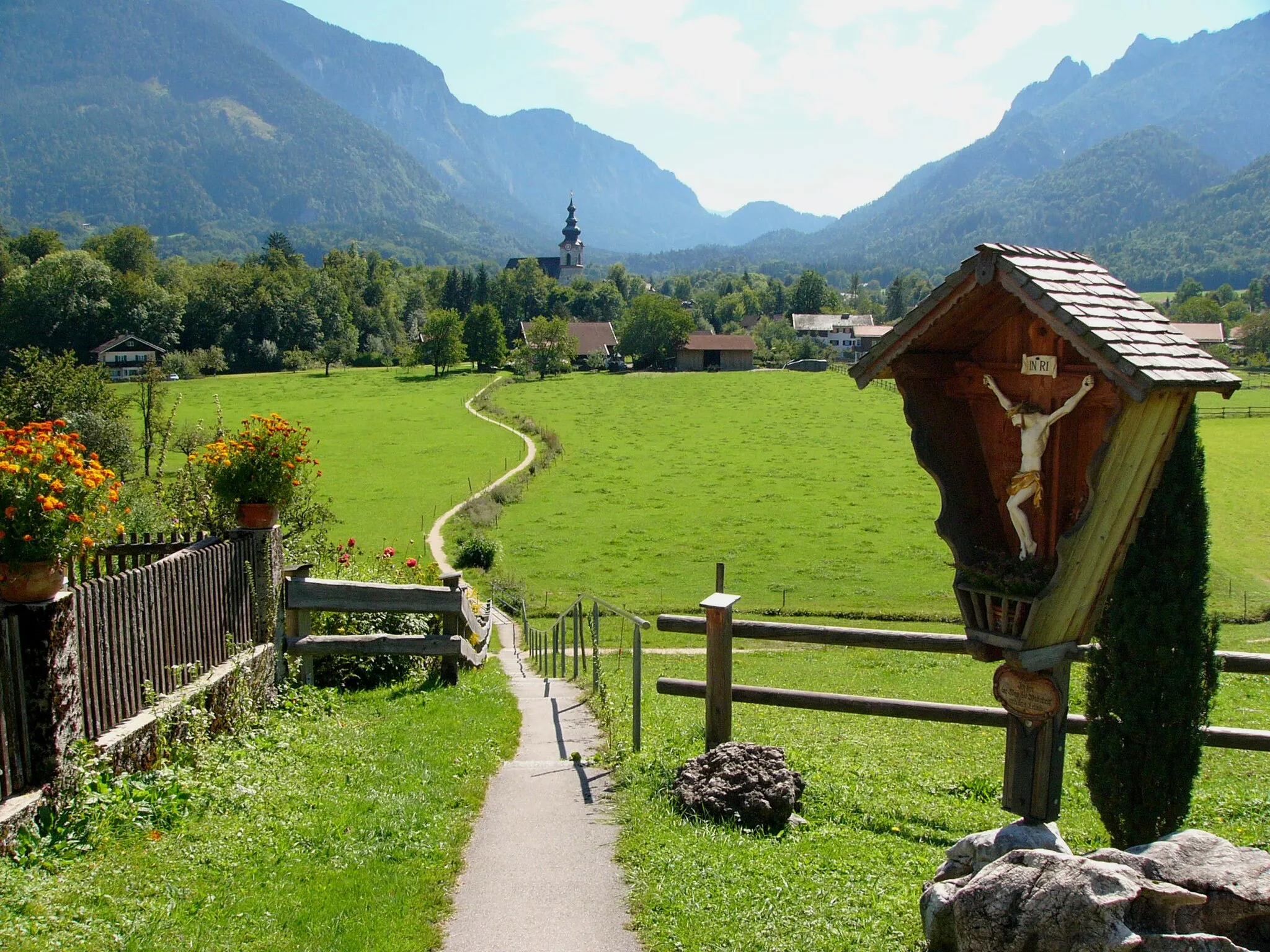
Weißbach an der AlpenstraßeVillageStop at Weißbach an der Alpenstraße and enjoy the breathtaking views of the surrounding alpine landscape.
25 km
25 km
Menkenberg798 mPeakExperience the stunning views from Menkenberg, a popular lookout point along the route.
28 km
28 km
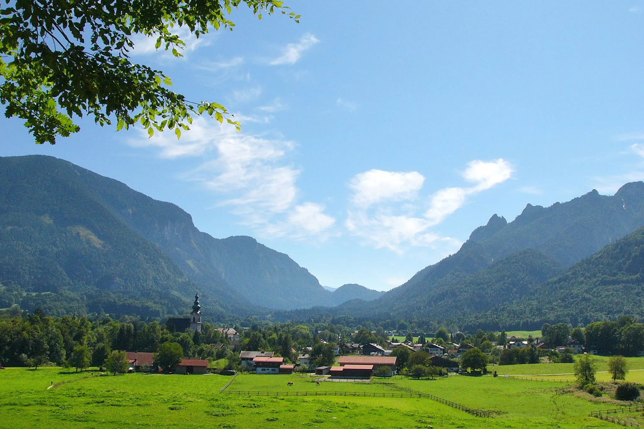
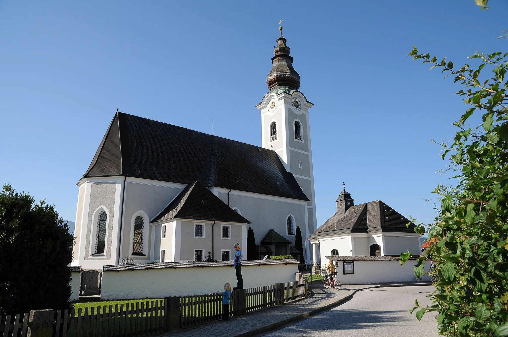
RuhpoldingVillageExplore the charming town center of Ruhpolding with its traditional Bavarian architecture and lovely streets.
41 km
41 km
Freibergl781 mPeakPass through Freibergl and admire the beautiful landscapes on this scenic part of the route.
42 km
42 km
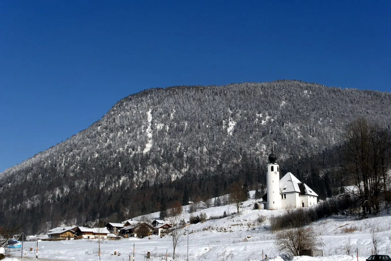
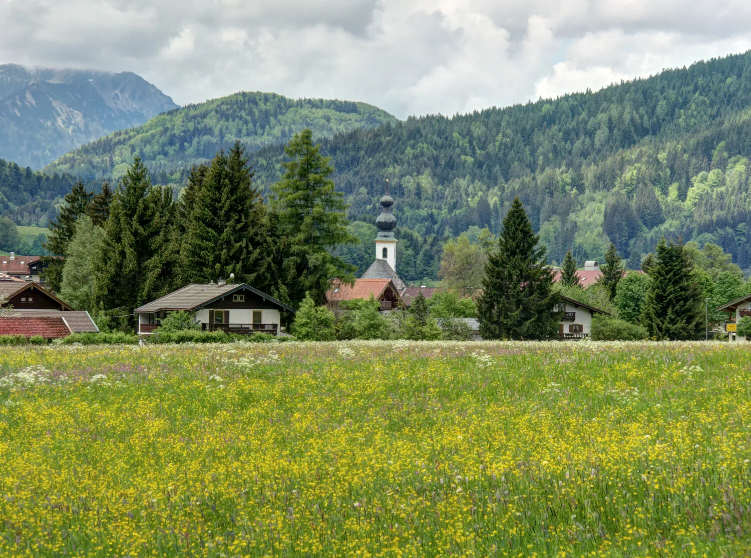
Neukirchen am TeisenbergVillageStop by Neukirchen am Teisenberg, a small village known for its picturesque location in the Bavarian Alps.
60 km
60 km
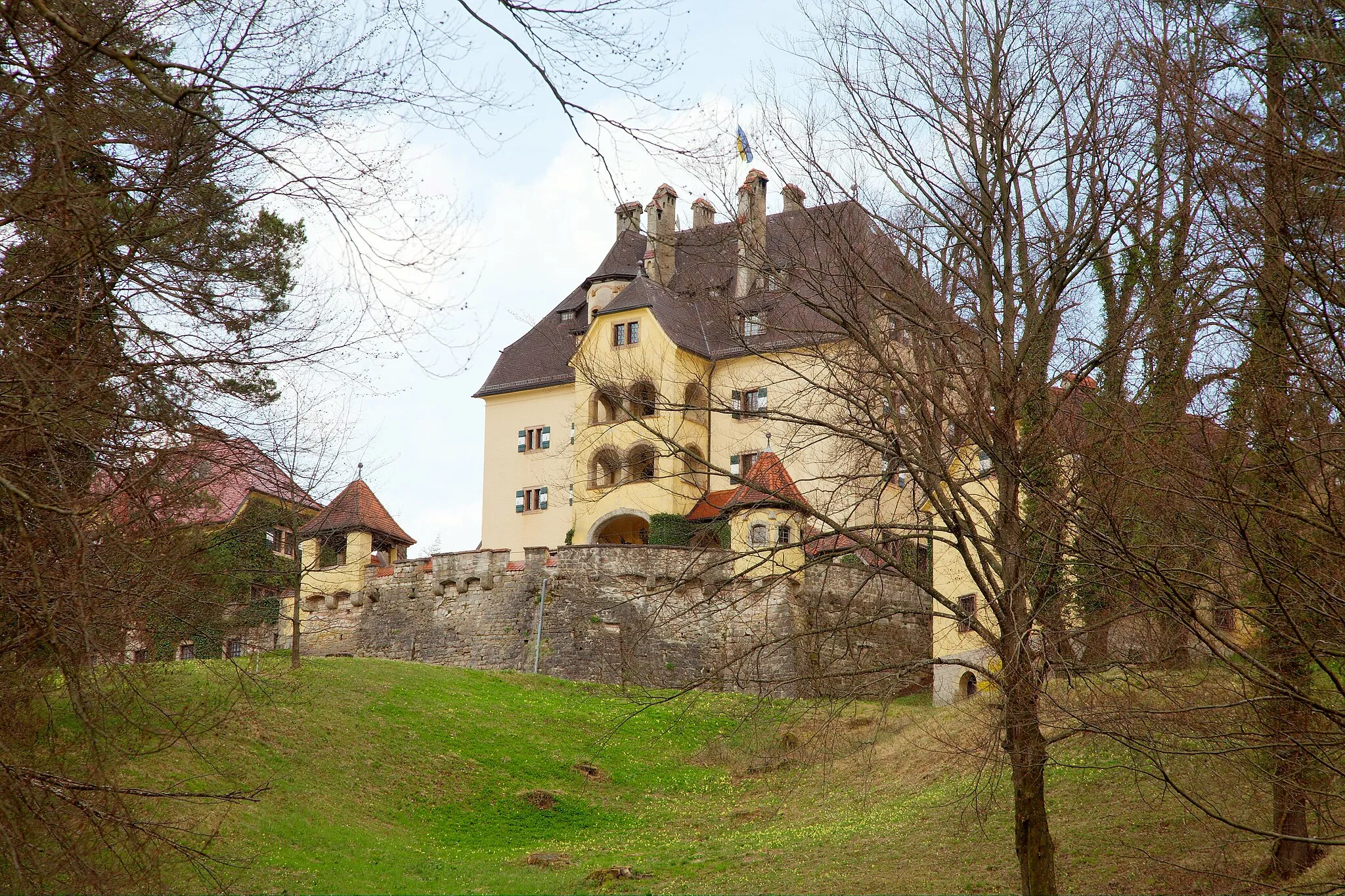
Schloß StaufeneckCastleDiscover Schloß Staufeneck, a historic castle offering panoramic views of the surrounding mountains.
65 km
65 km
Finish: Nonn Village centerBad Reichenhall: Discover diverse cycling routes and breathtaking alpine scenery in Bad Reichenhall.
Cycling routes from Bad Reichenhall:
A Mountainous Adventure in Oberbayern Elite Cycling Adventure Through Oberbayern Scenic Ride Through the Charming Villages of Oberbayern Gravel Adventure in Oberbayern Nature's Retreat: An Idyllic Gravel Ride near Bad Reichenhall Großgmain and Ramsau bei Berchtesgaden Gravel Loop Alpine Adventure Gravel Ride Bad Reichenhall Cultural Road Loop Scenic Salzach Valley Road Ride Nonn and Saalach Valley Gravel Experience Bad Reichenhall Loop
Cycling routes nearby: