Nature's Retreat: An Idyllic Gravel Ride near Bad Reichenhall
A gravel cycling route starting from Bad Reichenhall
Escape into the enchanting natural landscapes surrounding Bad Reichenhall on this idyllic gravel ride
Map
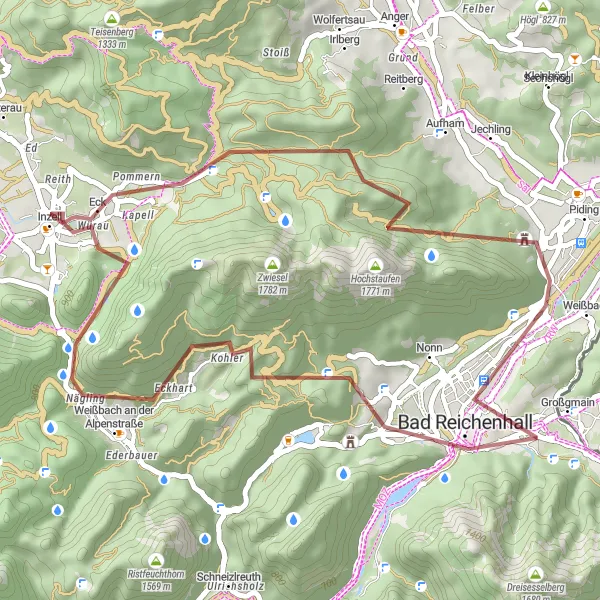
This scenic gravel route covers 43 km with a modest ascent of 1246 m. Highlights along the way, such as Großer Turm and Hochstaufen, offer a mix of natural beauty and historical significance. Perfect for nature lovers seeking solace in the great outdoors, this route guarantees a rejuvenating cycling experience.
gravel
43 km
1246 m
Tough
Route profile
Highlights on the route
0 km
0 km
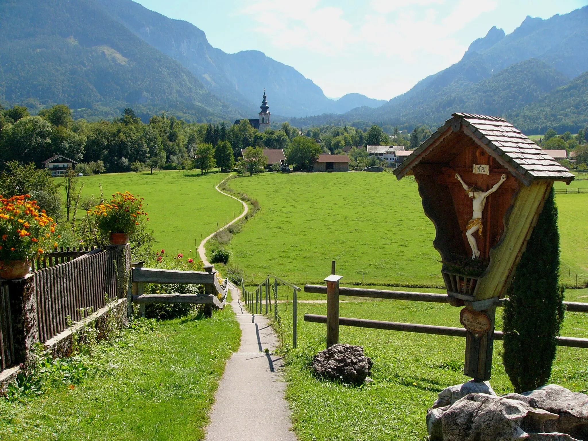
Start: Bayerisch Gmain Village centerBad Reichenhall: Discover diverse cycling routes and breathtaking alpine scenery in Bad Reichenhall.
Bad Reichenhall is a town located in the Oberbayern region of Germany. From a cyclist's perspective, Bad Reichenhall offers a combination of flat and hilly routes that are suitable for both road and gravel cycling. The town is known for its stunning alpine scenery and makes for a great base for exploring the surrounding area. Notable cycling spots nearby include the famous Rossfeld Panoramastraße, which offers breathtaking views and challenging climbs. Bad Reichenhall is an excellent choice for cyclists looking for diverse terrain and beautiful landscapes.1 km
1 km
Dötzenkopf1001 mPeakDötzenkopf offers magnificent views of the region's diverse landscapes, providing a truly immersive experience for nature enthusiasts.
2 km
2 km
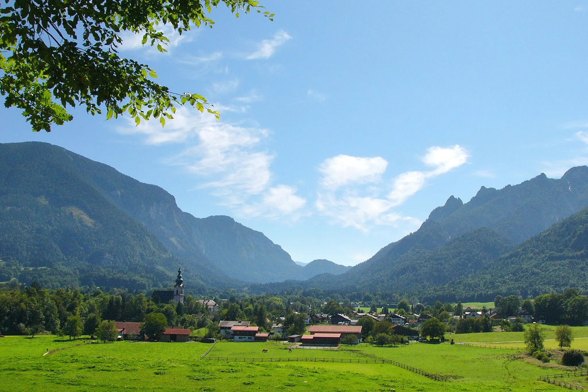
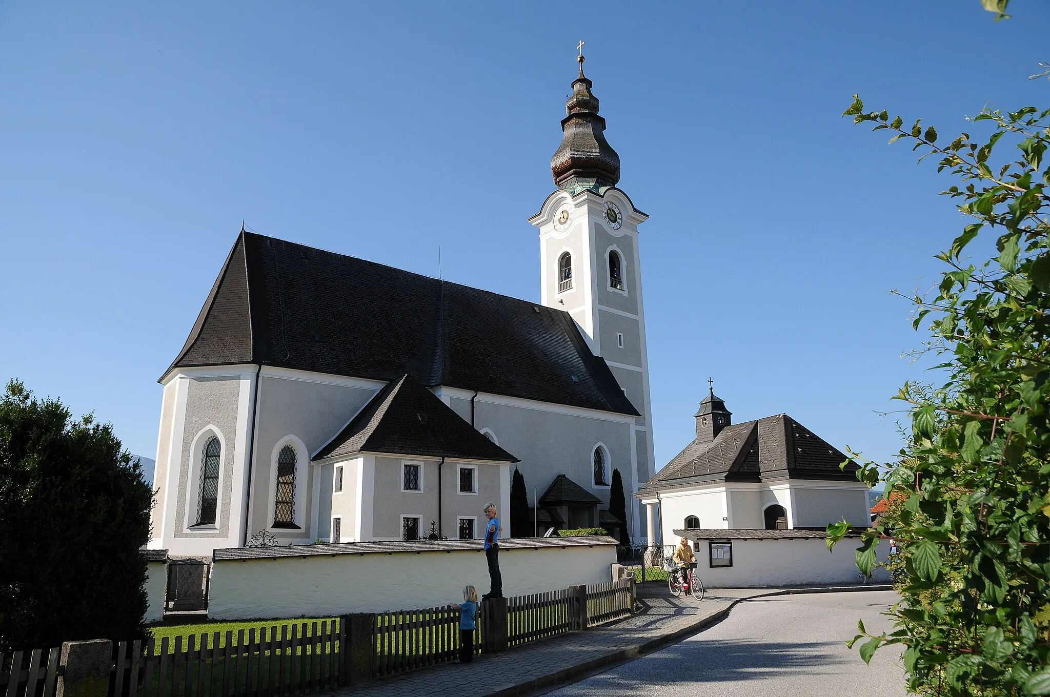
Bad ReichenhallTownBad Reichenhall is a vibrant town famous for its rich history and relaxing thermal baths.
17 km
17 km
Großer Turm1120 mPeakGroßer Turm, located in Roßfeld, Germany, offers panoramic views of the majestic Alps and captivating nature.
21 km
21 km
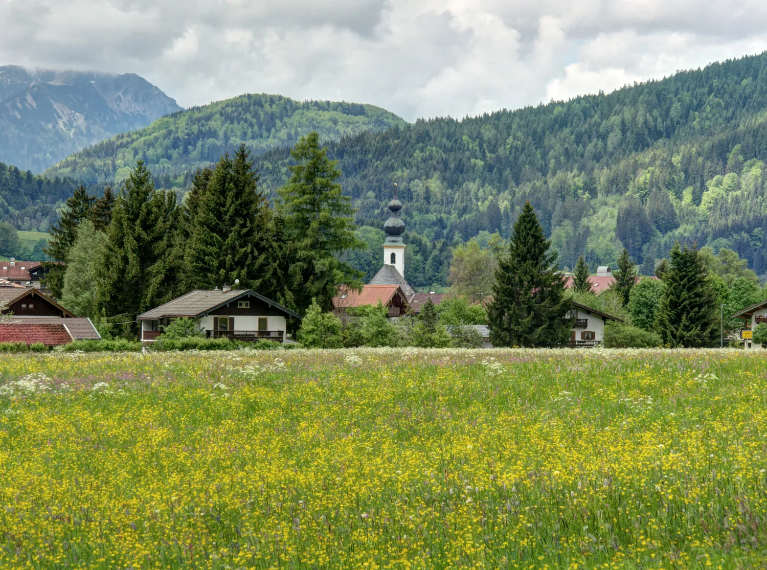
InzellVillageInzell, a charming Bavarian village surrounded by lush meadows and beautiful forests, offers a tranquil retreat for cyclists.
32 km
32 km
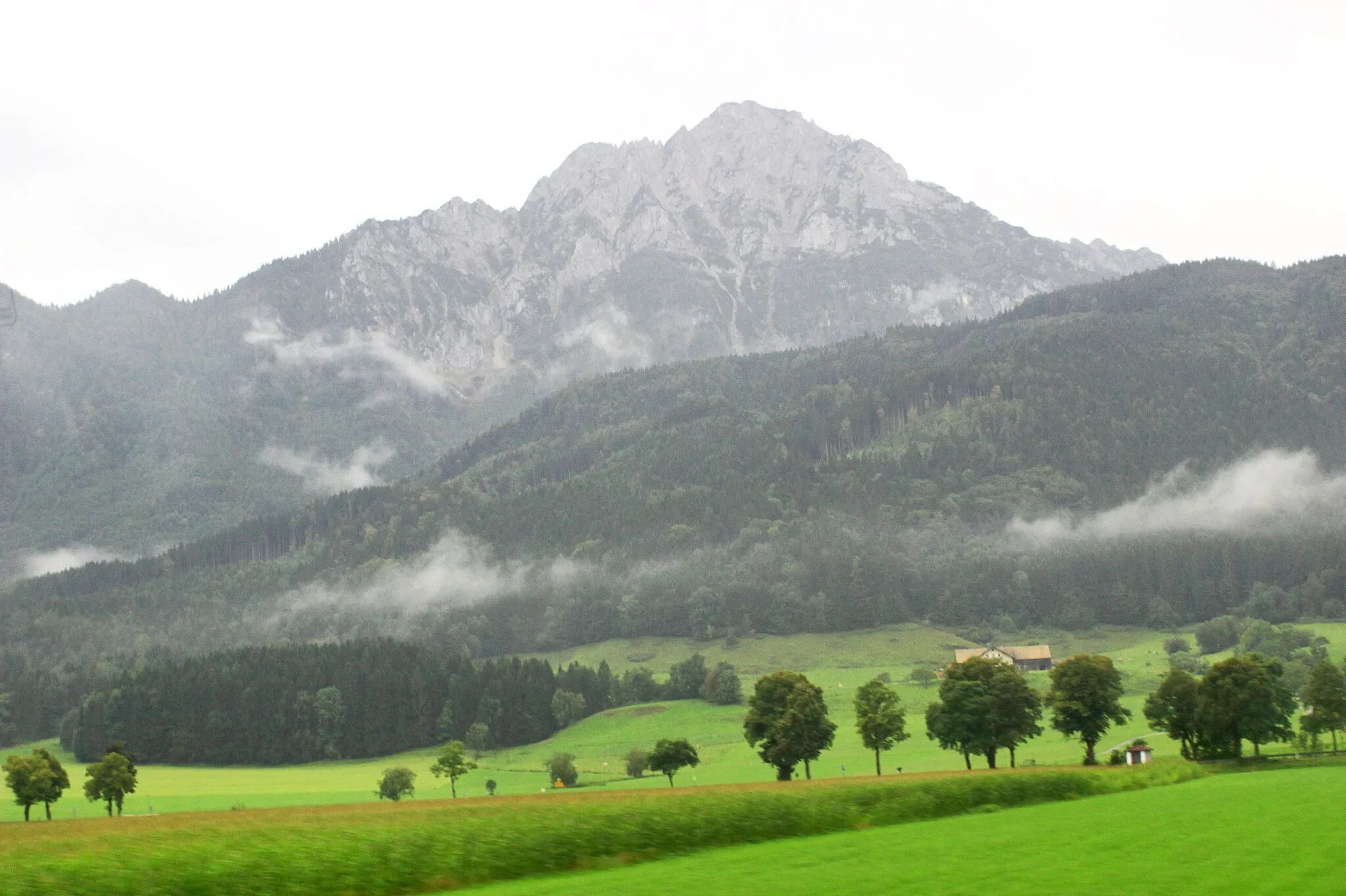
Hochstaufen1771 mPeakHochstaufen enthralls visitors with its challenging slopes and rewards them with breathtaking views of the surrounding landscapes.
36 km
36 km
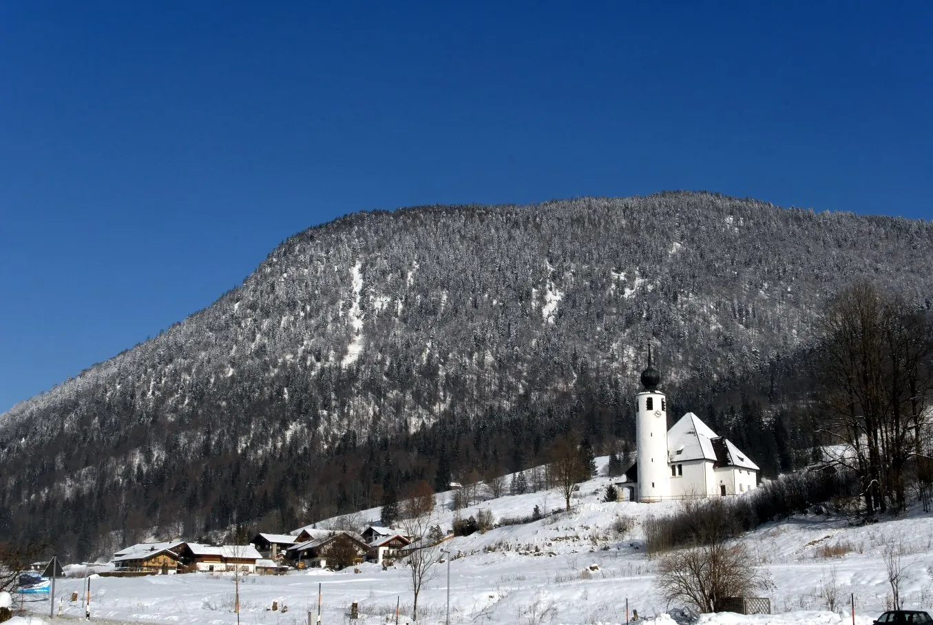
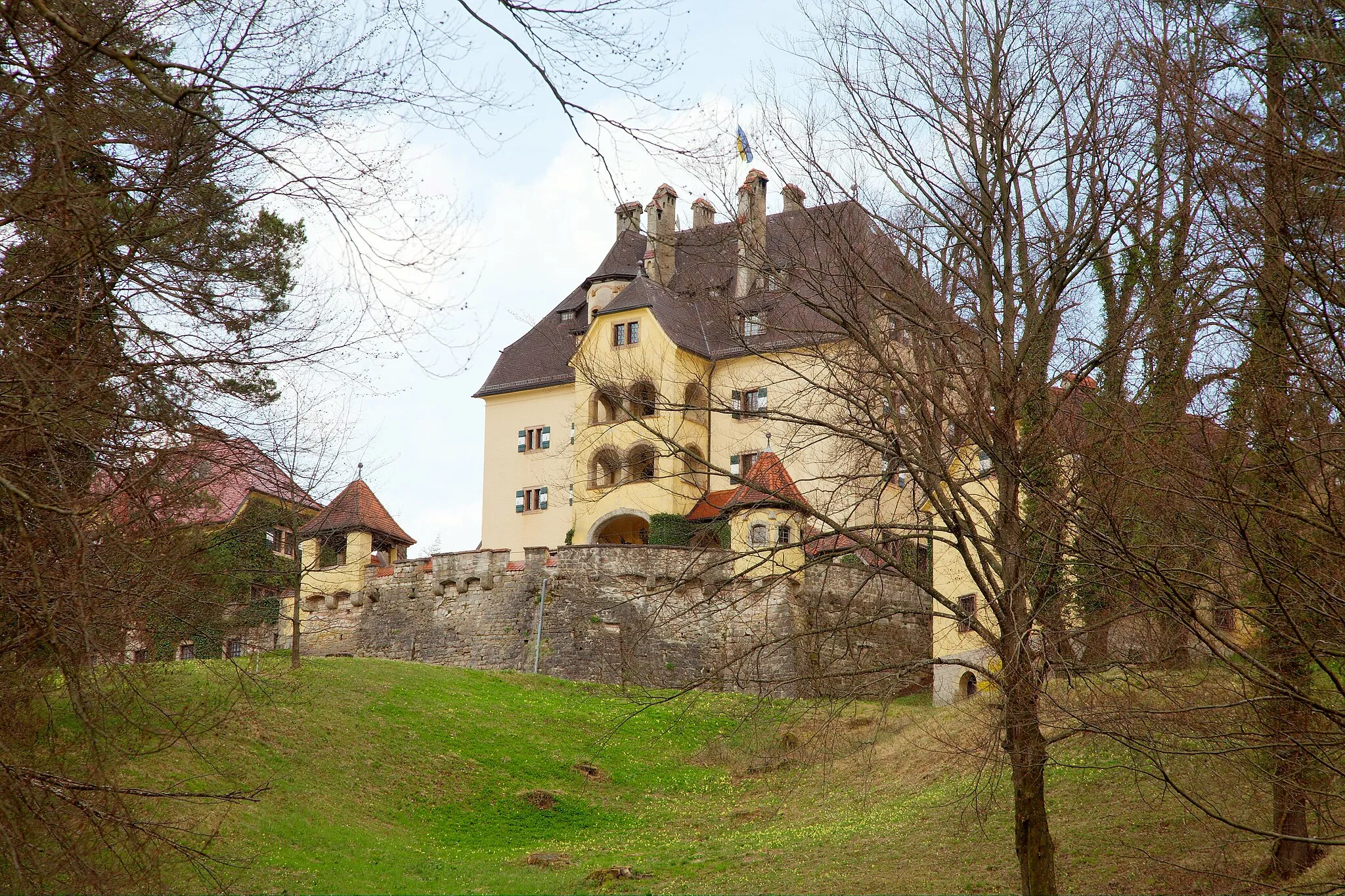
Schloß StaufeneckCastleSchloß Staufeneck is a magnificent castle known for its architectural beauty and historical significance.
42 km
42 km
MoltkeeicheAttractionMoltkeeiche is a sacred oak tree that has stood witness to the region's rich history for centuries.
43 km
43 km
Finish: Bayerisch Gmain Village centerBad Reichenhall: Discover diverse cycling routes and breathtaking alpine scenery in Bad Reichenhall.
Cycling routes from Bad Reichenhall:
A Mountainous Adventure in Oberbayern Elite Cycling Adventure Through Oberbayern Scenic Ride Through the Charming Villages of Oberbayern Gravel Adventure in Oberbayern Nature's Retreat: An Idyllic Gravel Ride near Bad Reichenhall Großgmain and Ramsau bei Berchtesgaden Gravel Loop Alpine Adventure Gravel Ride Bad Reichenhall Cultural Road Loop Scenic Salzach Valley Road Ride Nonn and Saalach Valley Gravel Experience Bad Reichenhall Loop
Cycling routes nearby: