A Mountainous Adventure in Oberbayern
A road cycling route starting from Bad Reichenhall
Embark on a thrilling cycling expedition through the mountains of Oberbayern, starting near Bad Reichenhall
Map
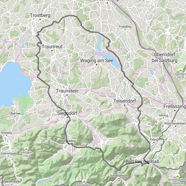
This challenging route covers a distance of 120 km with a total ascent of 1513 m. The picturesque highlights along the way, such as Dötzenkopf and Schloß Staufeneck, provide stunning views of the surrounding landscape. It is a challenging ride suitable for experienced cyclists who enjoy mountainous terrain.
road
120 km
1513 m
Tough
Route profile
Highlights on the route
0 km
0 km
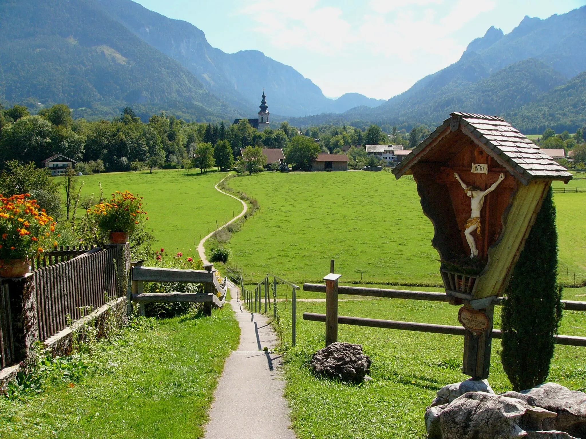
Start: Bayerisch Gmain Village centerBad Reichenhall: Discover diverse cycling routes and breathtaking alpine scenery in Bad Reichenhall.
Bad Reichenhall is a town located in the Oberbayern region of Germany. From a cyclist's perspective, Bad Reichenhall offers a combination of flat and hilly routes that are suitable for both road and gravel cycling. The town is known for its stunning alpine scenery and makes for a great base for exploring the surrounding area. Notable cycling spots nearby include the famous Rossfeld Panoramastraße, which offers breathtaking views and challenging climbs. Bad Reichenhall is an excellent choice for cyclists looking for diverse terrain and beautiful landscapes.1 km
1 km
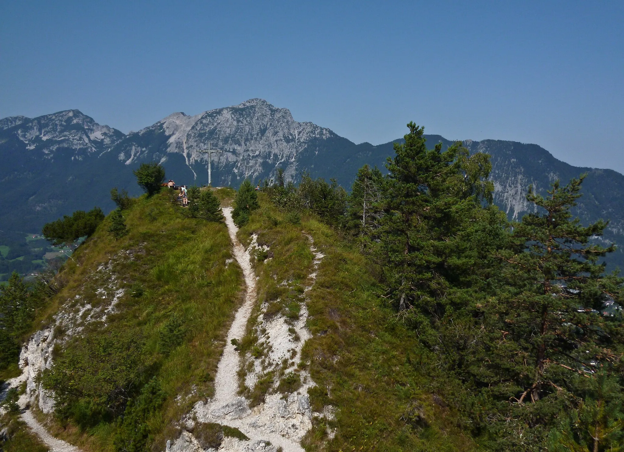
Dötzenkopf1001 mPeakDötzenkopf offers a spectacular panoramic view of the region.
2 km
2 km
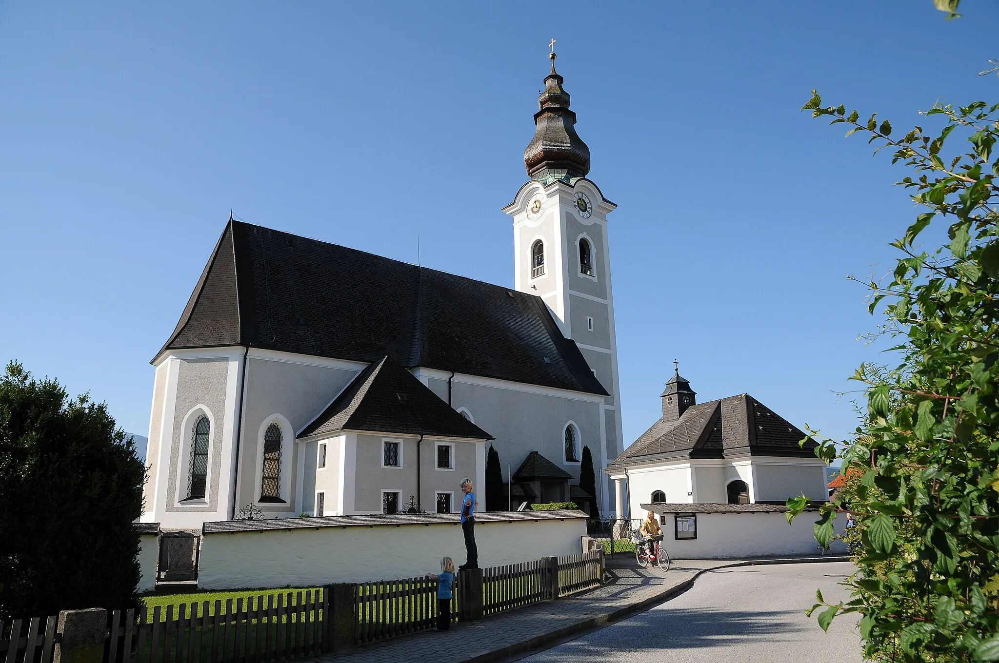
Bad ReichenhallTownBad Reichenhall is a charming town known for its beautiful architecture and relaxing spas.
20 km
20 km
Auer Berg903 mPeakAt an elevation of 20 meters, Auer Berg offers breathtaking vistas of the surrounding countryside.
25 km
25 km
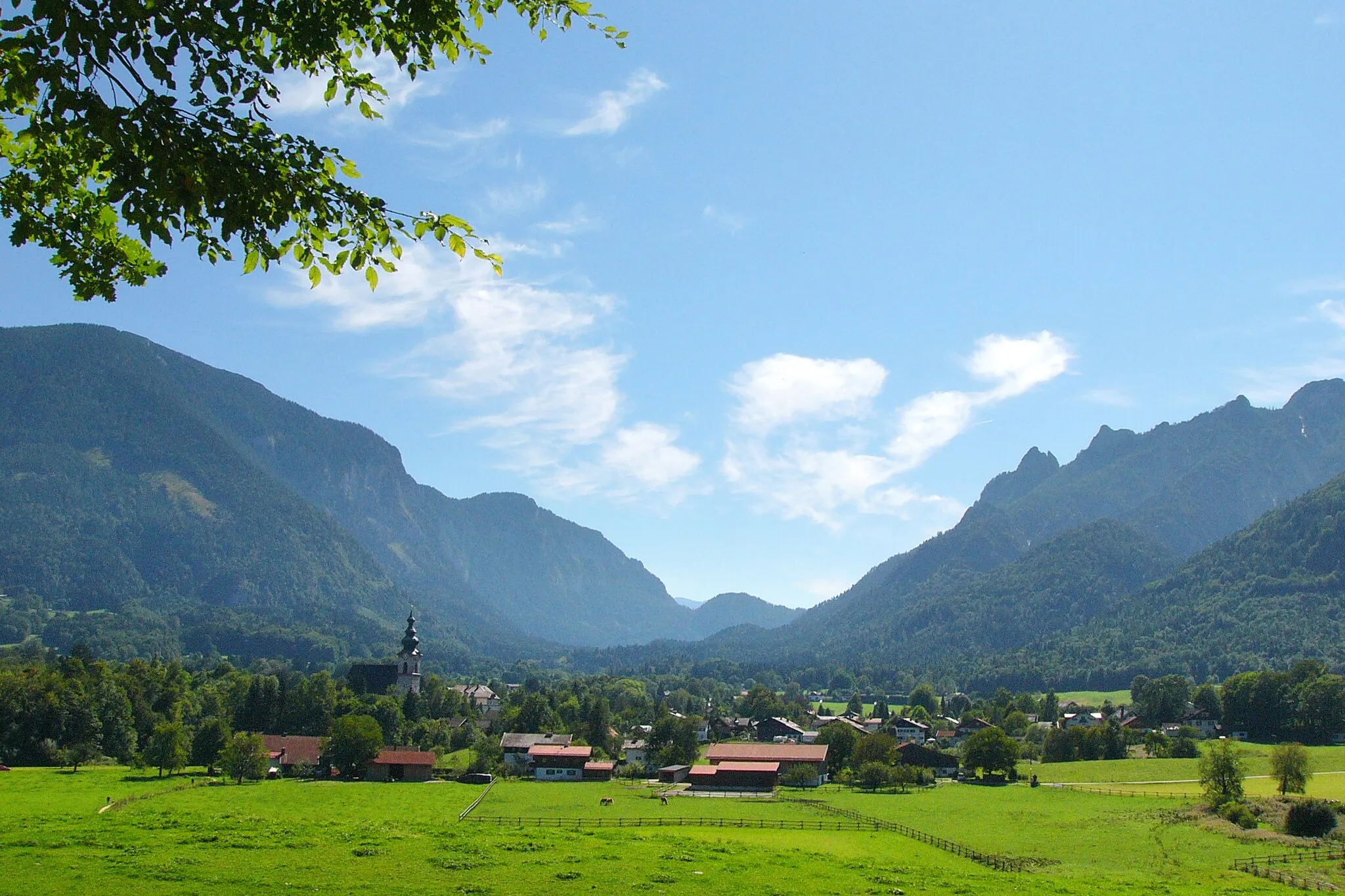
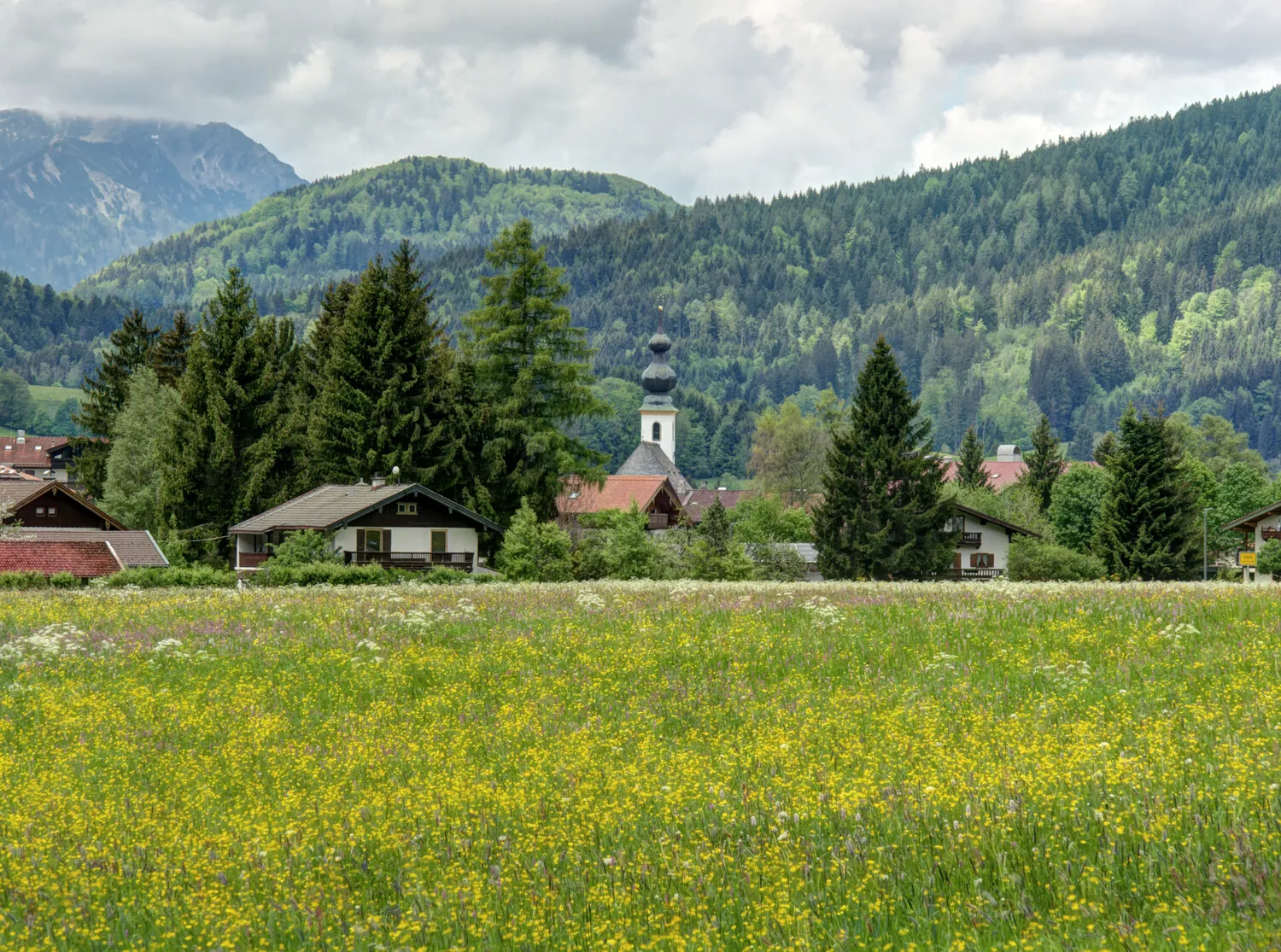
RuhpoldingVillageRuhpolding is a picturesque village known for its traditional Bavarian charm and outdoor activities.
33 km
33 km
SiegsdorfTownSiegsdorf is famous for its well-preserved historic buildings and cultural attractions.
47 km
47 km
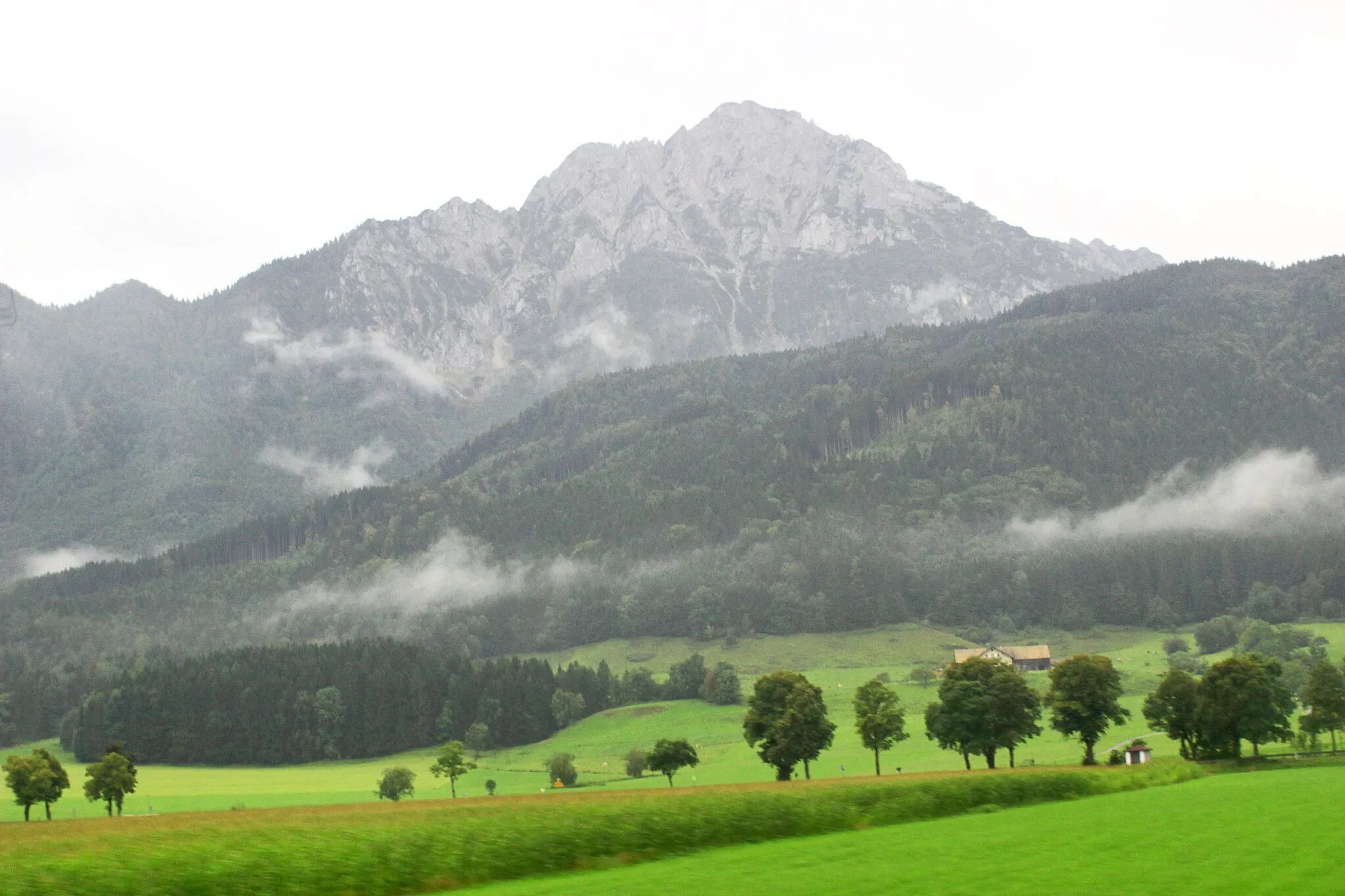
Schloßberg572 mPeak ViewpointSchloßberg provides a perfect vantage point to admire the stunning Alpine scenery.
57 km
57 km
WeishamHamletWeisham offers a unique blend of natural beauty and historical landmarks.
59 km
59 km
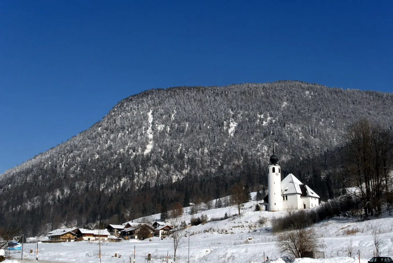
Burg SteinViewpointBurg Stein, a medieval castle, is a must-visit spot for history enthusiasts.
78 km
78 km
TenglingVillageTengling is a quaint village known for its charming rural atmosphere and picturesque surroundings.
88 km
88 km
LampodingVillageLampoding is a small town famous for its traditional Bavarian hospitality and peaceful ambiance.
96 km
96 km
SchönramVillageSchönram is a paradise for nature lovers, with vast meadows and lush forests.
114 km
114 km
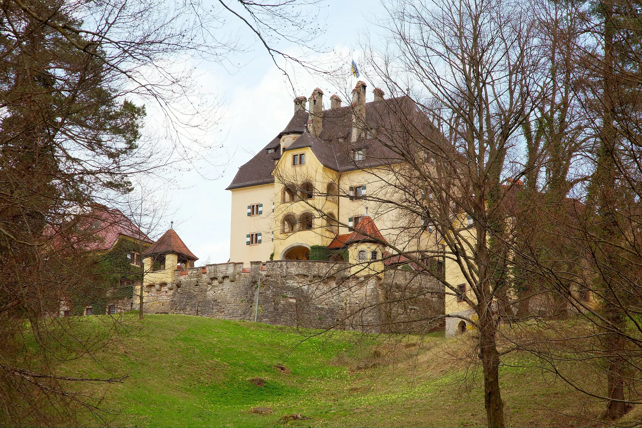
Schloß StaufeneckCastleSchloß Staufeneck is a magnificent castle known for its architectural beauty and historical significance.
120 km
120 km
Finish: Bayerisch Gmain Village centerBad Reichenhall: Discover diverse cycling routes and breathtaking alpine scenery in Bad Reichenhall.
Cycling routes from Bad Reichenhall:
A Mountainous Adventure in Oberbayern Elite Cycling Adventure Through Oberbayern Scenic Ride Through the Charming Villages of Oberbayern Gravel Adventure in Oberbayern Nature's Retreat: An Idyllic Gravel Ride near Bad Reichenhall Großgmain and Ramsau bei Berchtesgaden Gravel Loop Alpine Adventure Gravel Ride Bad Reichenhall Cultural Road Loop Scenic Salzach Valley Road Ride Nonn and Saalach Valley Gravel Experience Bad Reichenhall Loop
Cycling routes nearby: