Lichtenfels Loop
A road cycling route starting from Altendorf
Discover the historic landmarks of Lichtenfels and its surrounding areas
Map
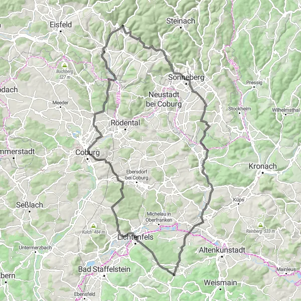
The Lichtenfels Loop is a 107 km cycling route that takes you through the historic town of Lichtenfels and its beautiful surroundings in Oberfranken, Germany. With an ascent of 1159 m, this route offers both scenic beauty and a bit of a challenge for amateur cyclists. From the iconic Bismarckturm Lichtenfels to the picturesque village of Hochstadt a.Main, cyclists will encounter a variety of interesting highlights along the way. The route is mostly on paved roads, ensuring a smooth and enjoyable ride. With a difficulty level of 2 out of 5 and an epicness rating of 3 out of 5, the Lichtenfels Loop is suitable for cyclists of various skill levels.
road
107 km
1159 m
Chill
Route profile
Highlights on the route
0 km
0 km
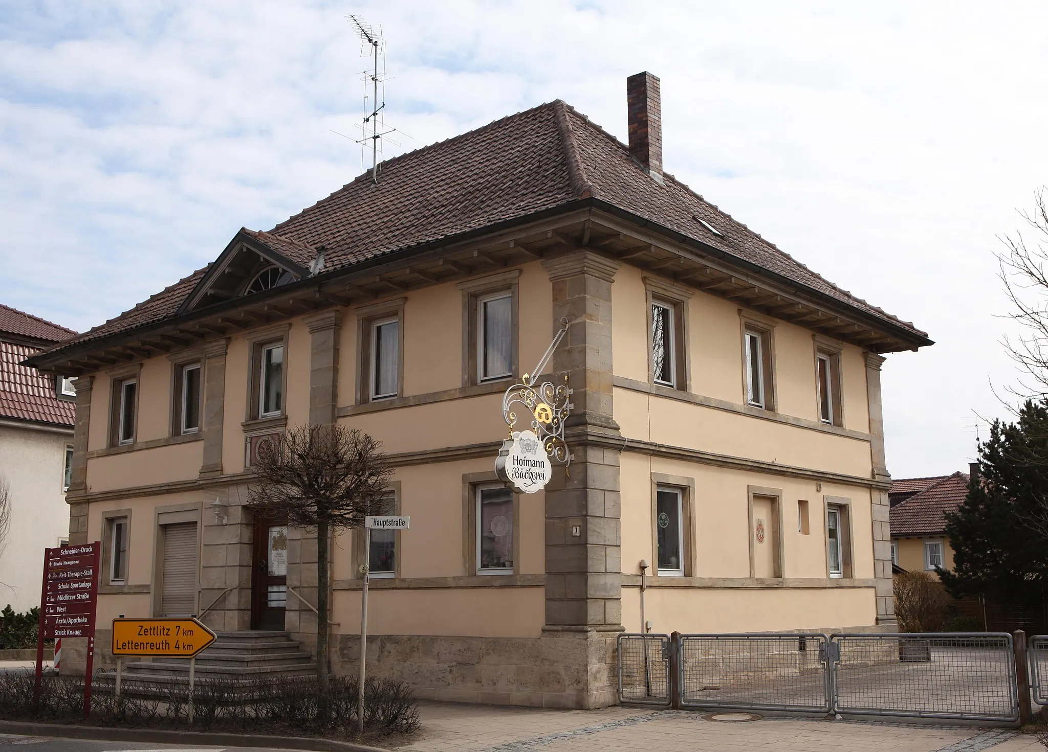
Start: Mönchkröttendorf Village centerAltendorf: Cycling haven in Oberfranken
Altendorf in Oberfranken, Germany, is a delightful locality for road and gravel cyclists. With its picturesque landscapes and well-maintained roads, Altendorf offers riders a chance to explore the Franconian countryside at their own pace. The region surrounding Altendorf is dotted with vineyards and charming villages, providing ample opportunities for leisurely rides and cultural exploration. Cyclists looking for a challenge can conquer the nearby famous climbs such as Oberschwappacher Berg. Altendorf is a great spot for cyclists of all skill levels who are seeking a memorable cycling experience.10 km
10 km
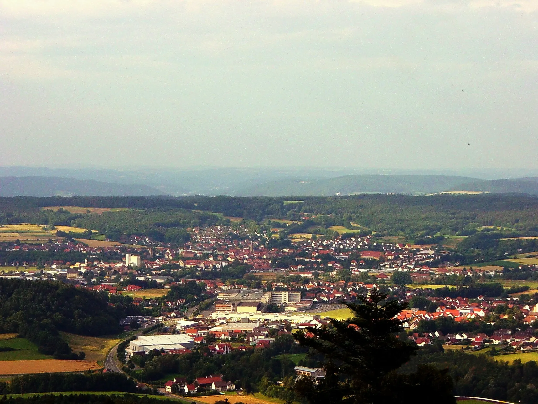
Bismarckturm LichtenfelsViewpointBismarckturm Lichtenfels, a historic tower offering panoramic views of the Lichtenfels region and the surrounding landscape.
12 km
12 km
SchönsreuthVillageSchönsreuth, a tranquil village with beautiful half-timbered houses and well-preserved ancient charm.
22 km
22 km
Spitz348 mPeakSpitz, a charming village known for its vineyards and wine production, where you can savor the rich flavors of Franconian wines.
29 km
29 km
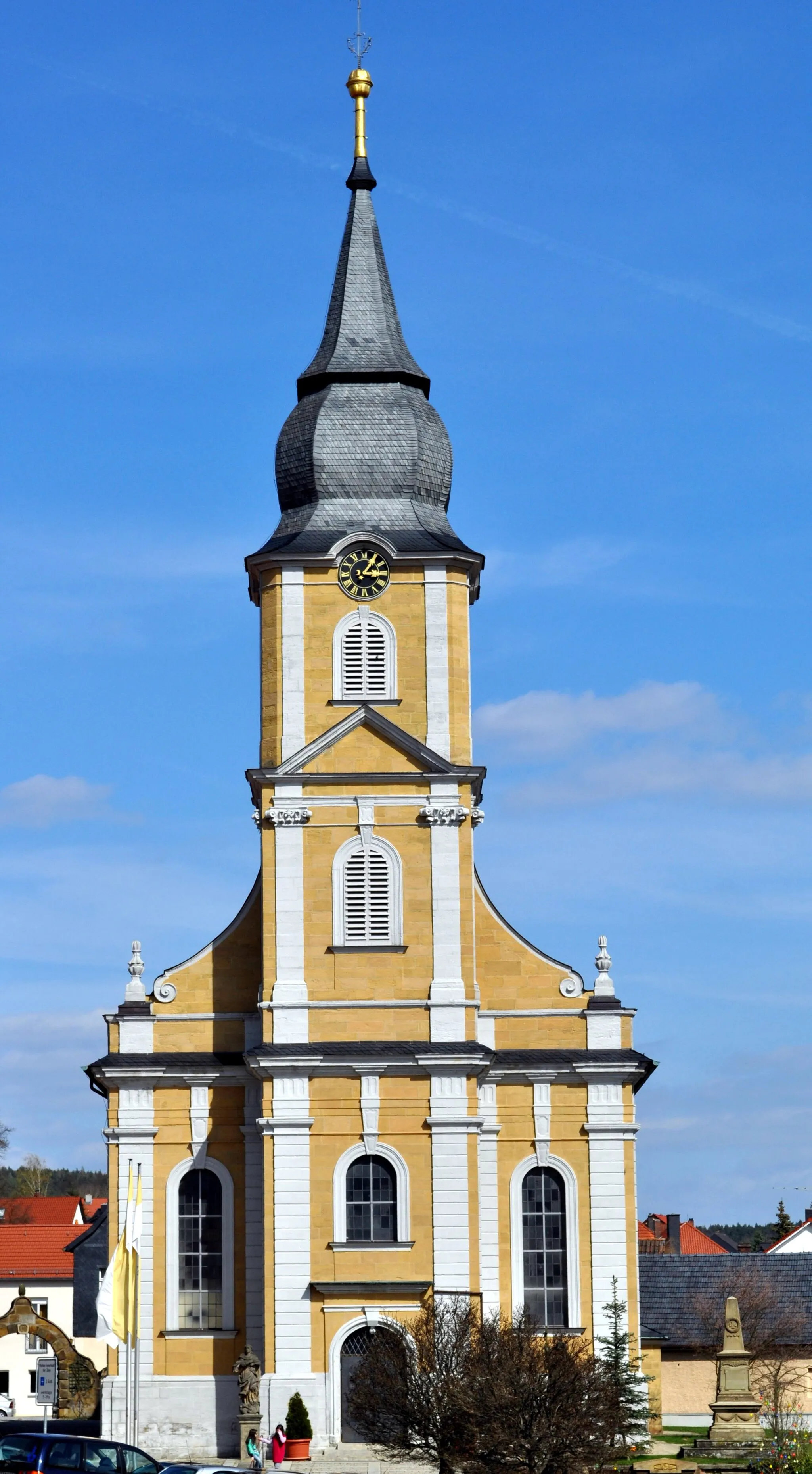
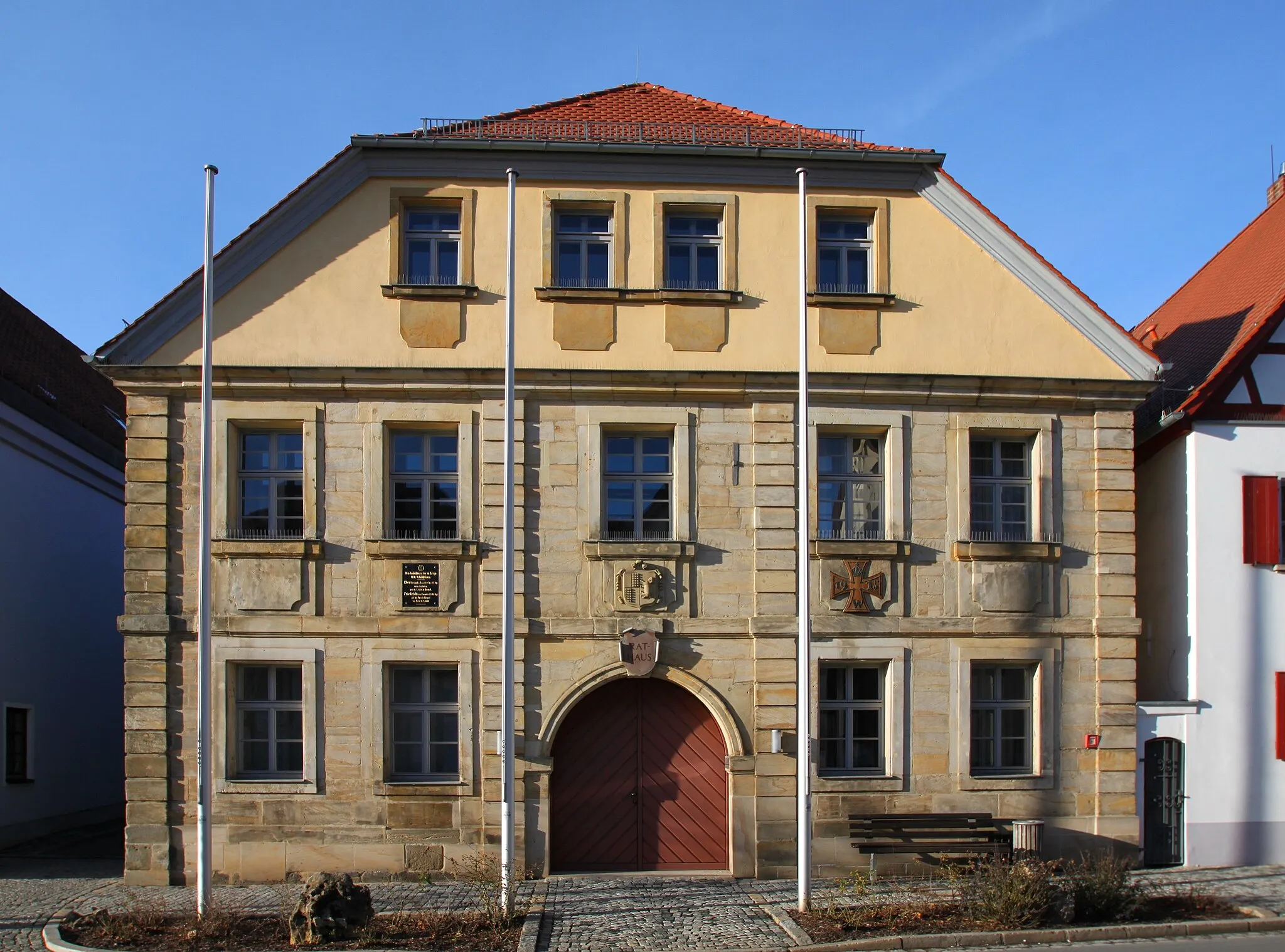
Bürglaß-SchlösschenAttractionBürglaß-Schlösschen, a small castle dating back to the 16th century, nestled in the heart of Lichtenfels and displaying intricate architectural details.
39 km
39 km
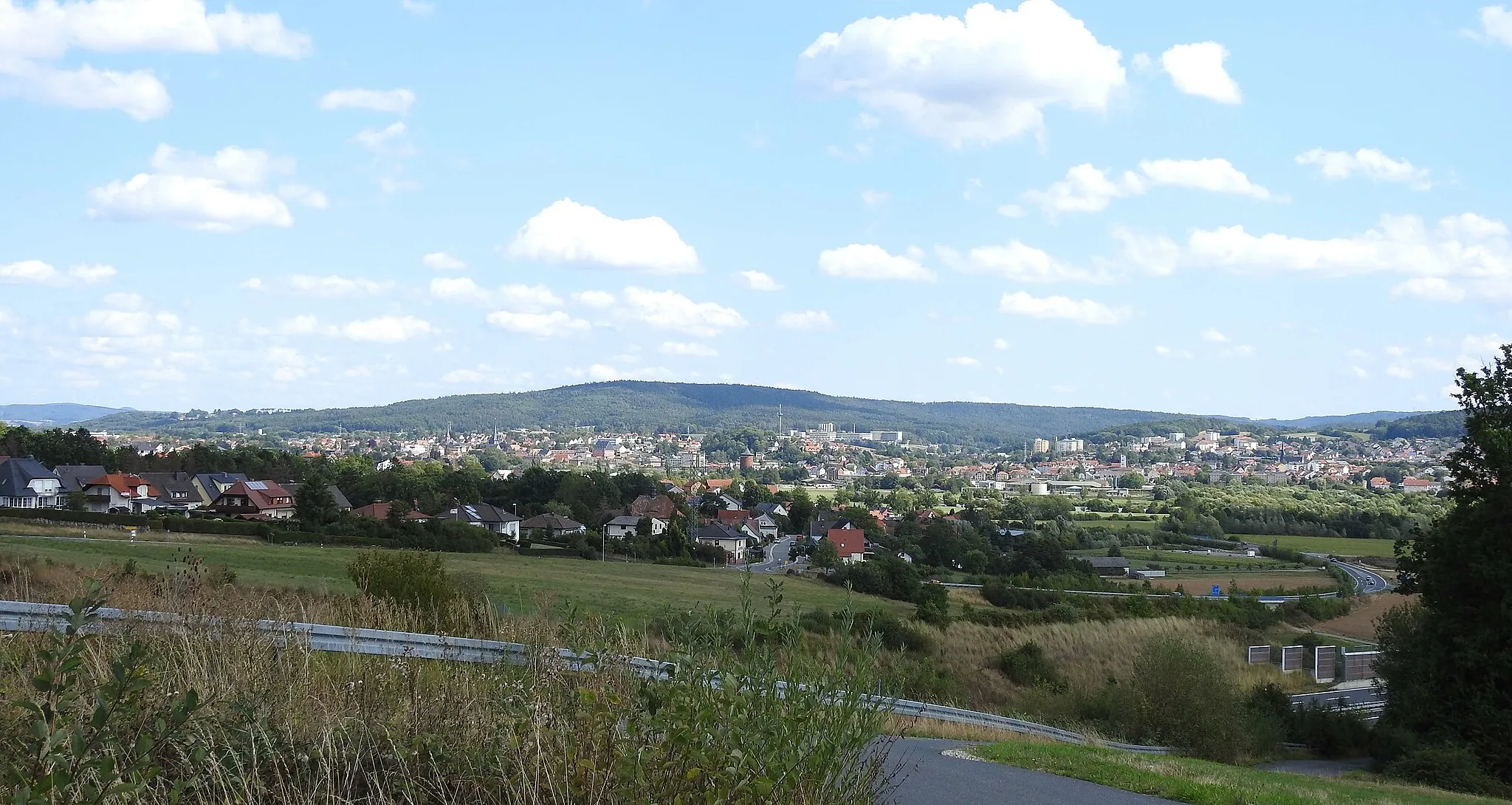
Haubenberg449 mPeakHaubenberg, a hill offering stunning panoramic views of the Franconian countryside, perfect for a peaceful break and taking in the natural beauty of the region.
52 km
52 km
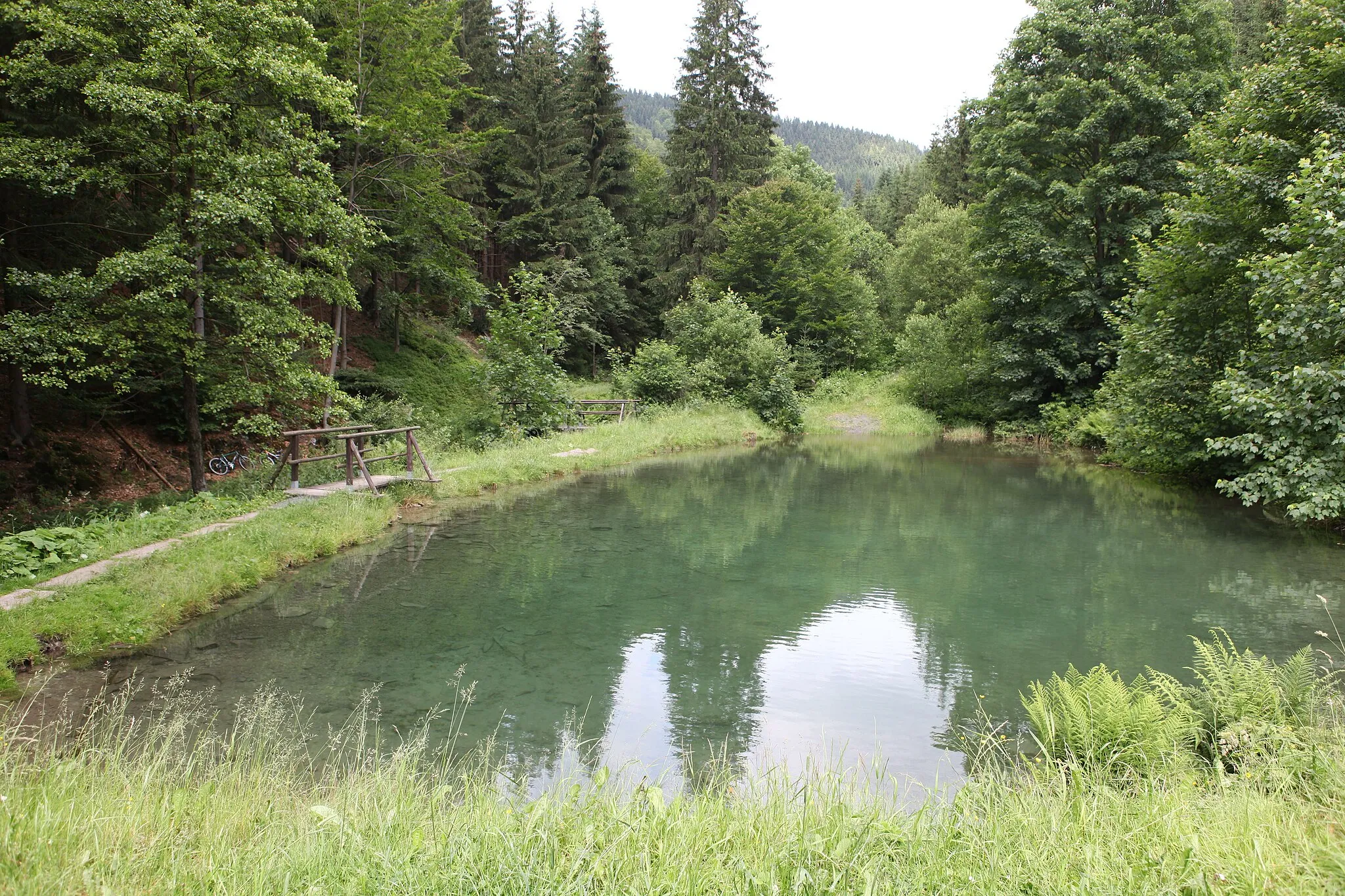
TruckenthalVillageTruckenthal, a picturesque valley featuring lush green meadows and a tranquil stream, providing a serene backdrop for a leisurely ride.
64 km
64 km
Mengersgereuth-HämmernVillageMengersgereuth-Hämmern, a quaint village famous for its traditional pottery craftsmanship and idyllic atmosphere, offering a delightful stop along the route.
69 km
69 km
Eichberg503 mPeakEichberg, a small hill dotted with vineyards and offering breathtaking views of the Main river valley, a place to admire the beauty of nature.
83 km
83 km
SchwärzdorfVillageSchwärzdorf, a quaint village with charming half-timbered houses and peaceful streets, immerse yourself in the tranquil atmosphere of rural Bavaria.
87 km
87 km
Mitwitzer Berg435 mPeakMitwitzer Berg, a scenic hill that rewards cyclists with stunning views of the surrounding scenery and an opportunity to connect with nature.
100 km
100 km
Hochstadt a.MainVillageHochstadt a.Main, a picturesque village known for its well-preserved medieval architecture and charming atmosphere, offering a perfect ending point for the route.
107 km
107 km
Finish: Mönchkröttendorf Village centerAltendorf: Cycling haven in Oberfranken
Cycling routes nearby: