Gravel Adventure
A gravel cycling route starting from Bayreuth
Embark on an adventurous gravel ride through scenic landscapes near Bayreuth.
Map
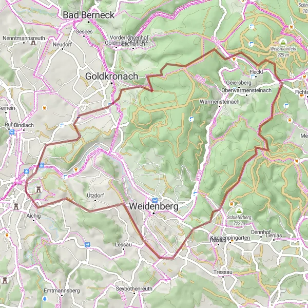
The Gravel Adventure route offers a unique cycling experience through picturesque gravel roads and scenic countryside. With a total ascent of 971m and a distance of 52km, this moderately challenging route is perfect for gravel enthusiasts. The highlights along the route include Laineck, Fürstenstein, Besucherbergwerk Gleißinger Fels, Kreuzstein, Iskaraberg, Ützdorf, Viewpoint Cascade, and Neues Schloss Eremitage.
gravel
52 km
971 m
Chill
Route profile
Highlights on the route
0 km
0 km
Start: St. Johannis Village centerBayreuth: Immerse yourself in culture and nature while cycling through Bayreuth.
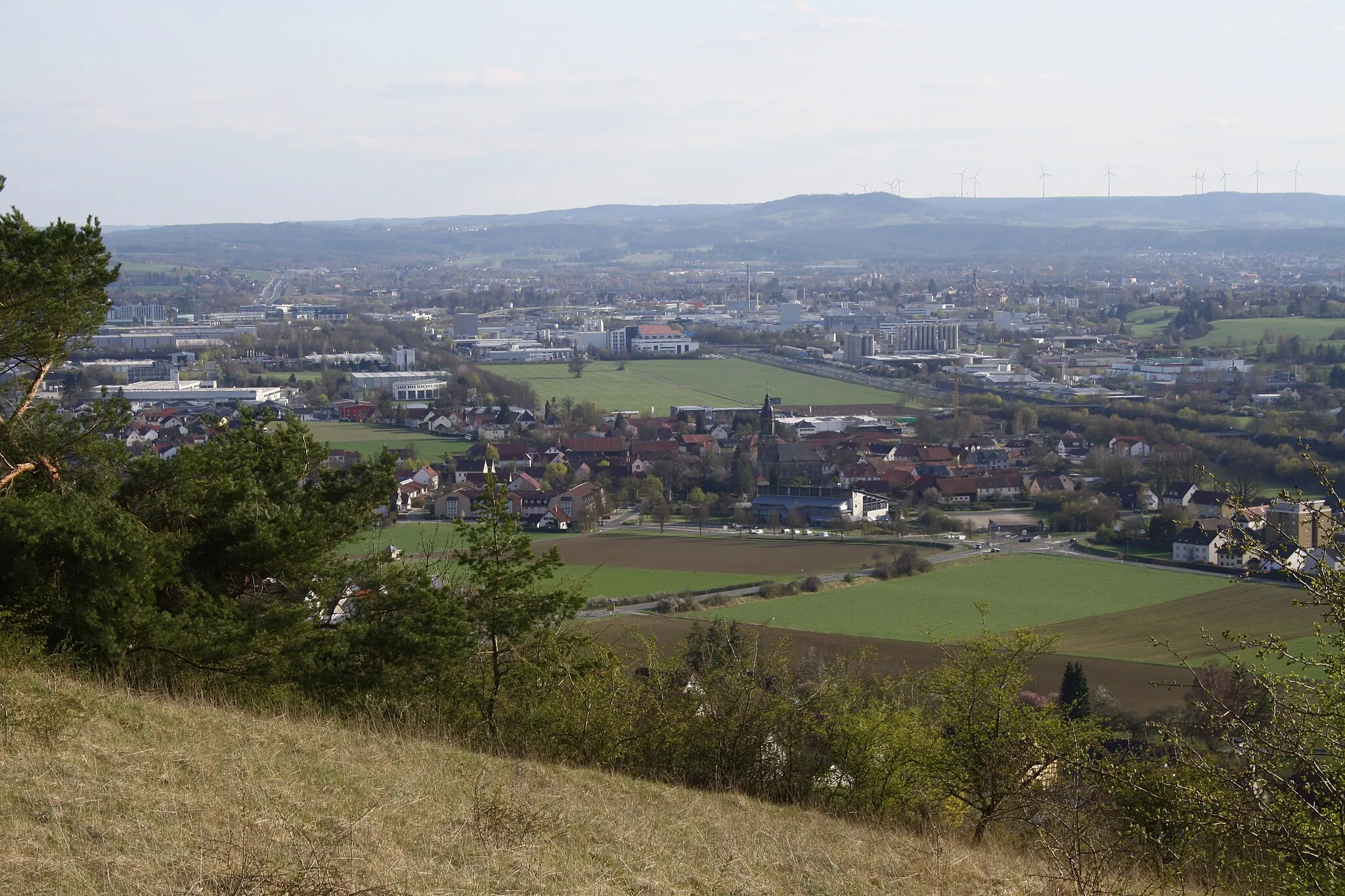
Bayreuth is a town located in the Oberfranken region of Germany. From a cyclist's perspective, Bayreuth offers a mix of flat and hilly routes that are suitable for both road and gravel cycling. The town itself is known for its cultural attractions, especially the Bayreuth Festival, which celebrates Richard Wagner's music. Cyclists can enjoy rides through picturesque landscapes and visit nearby landmarks such as the Sanspareil rock garden and the Ochsenkopf mountain. Bayreuth is a vibrant and bike-friendly destination for cyclists with diverse interests.1 km
1 km
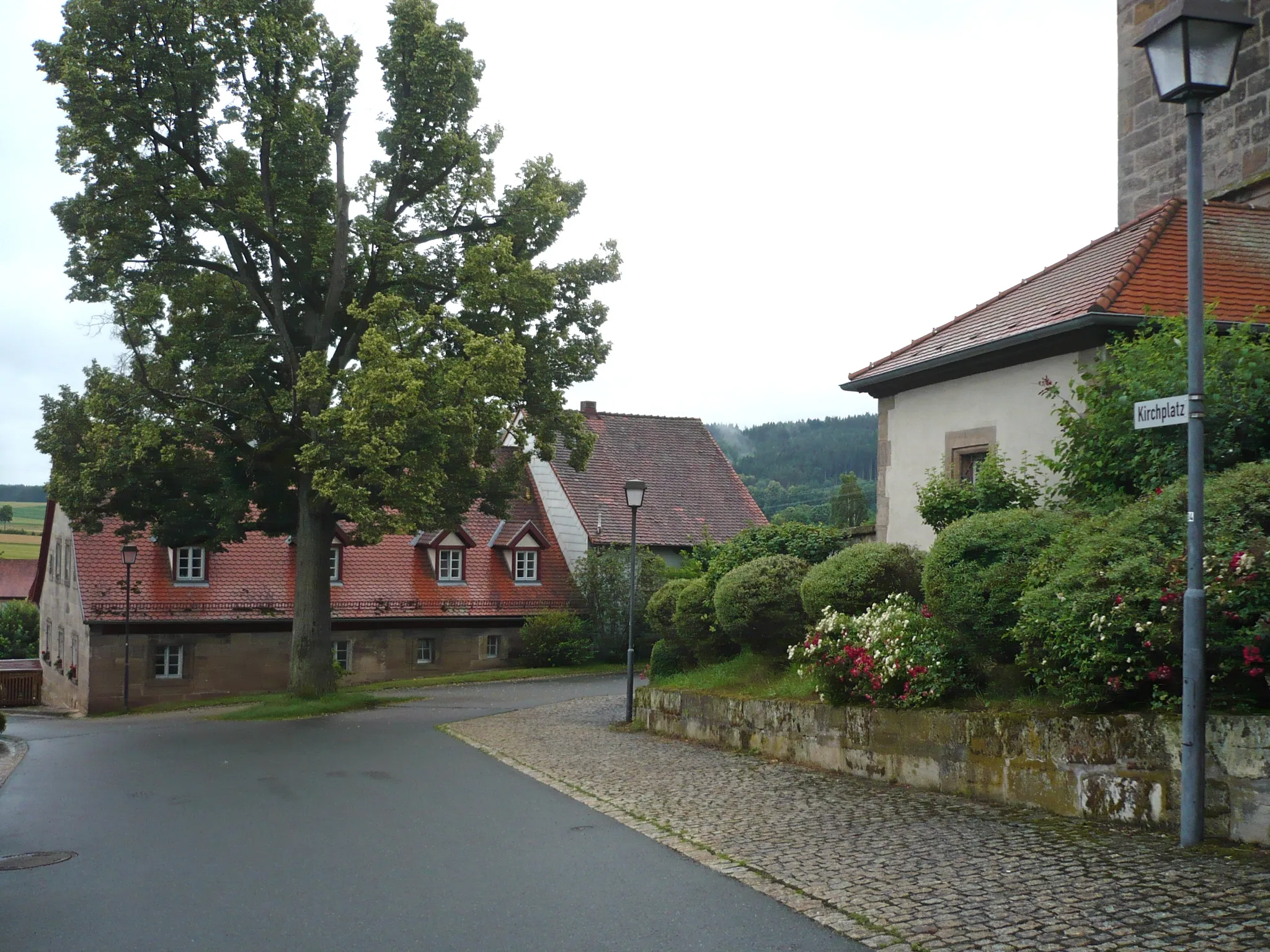
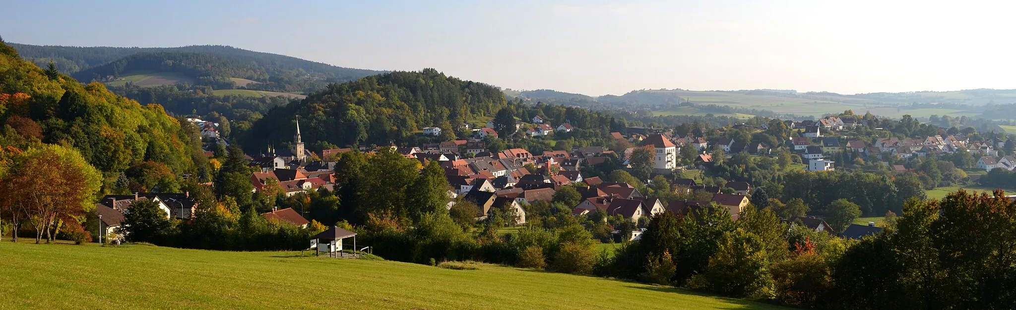
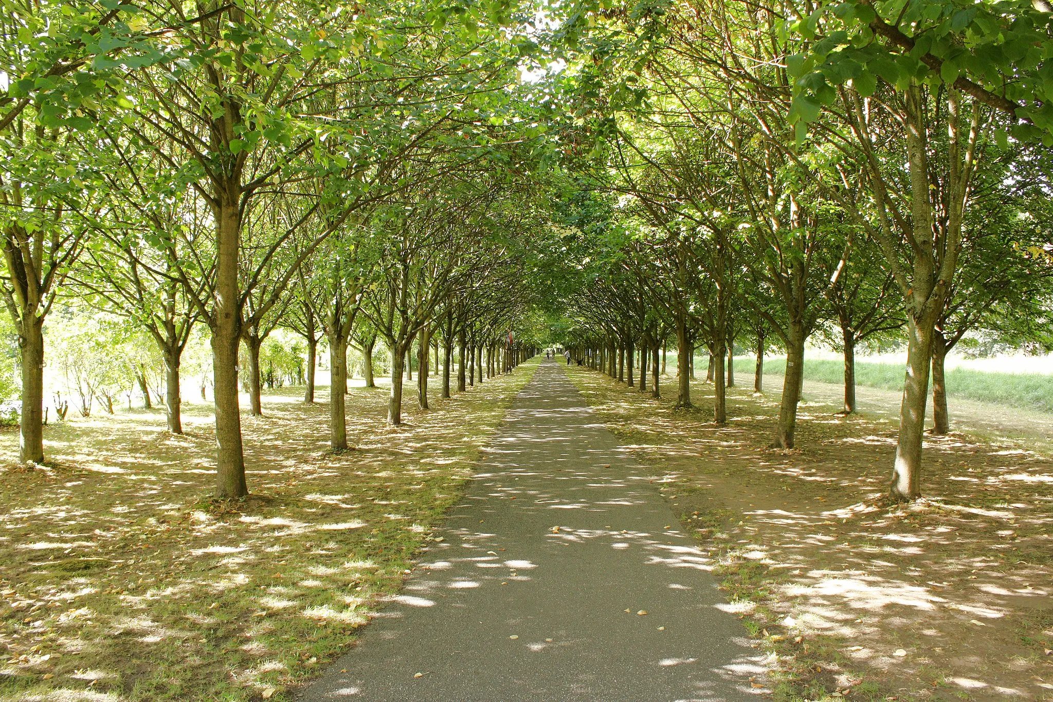
LaineckSub-urbLaineck is a charming village with traditional half-timbered houses.
13 km
13 km
FürstensteinViewpointFürstenstein is a historical site with ancient ruins and sweeping views.
24 km
24 km
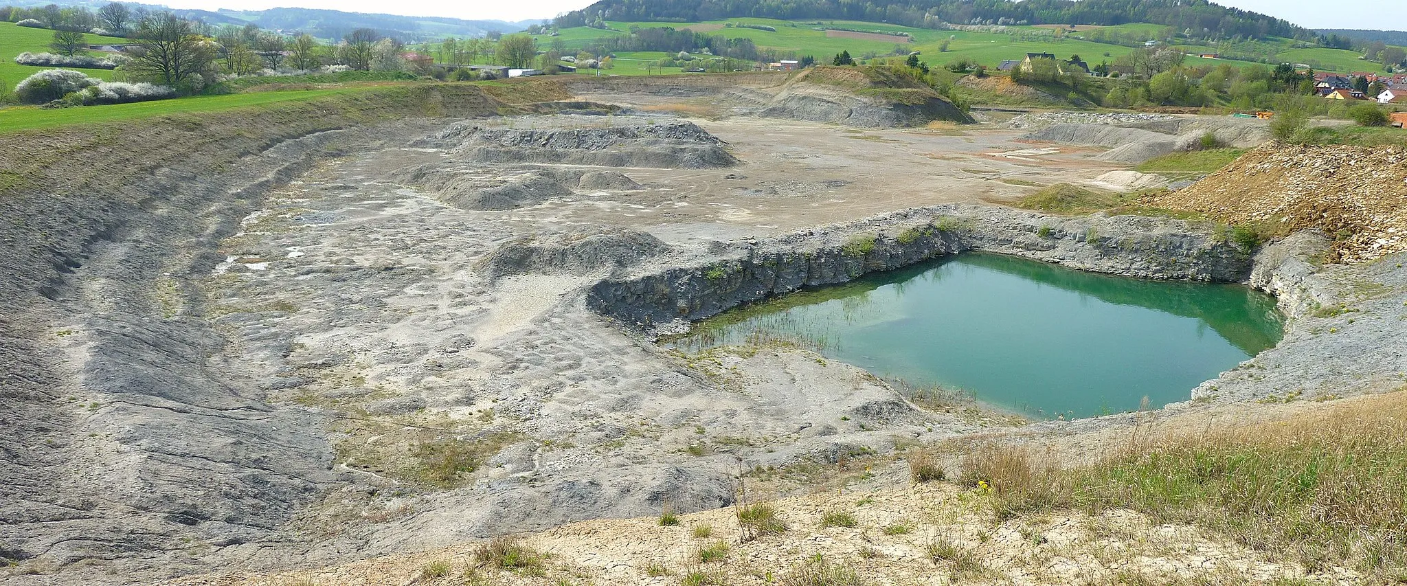
Besucherbergwerk Gleißinger FelsAttractionBesucherbergwerk Gleißinger Fels is an old mine that offers guided tours for visitors.
28 km
28 km
Kreuzstein838 mPeakKreuzstein is a scenic natural rock formation that is popular among hikers and climbers.
36 km
36 km
Iskaraberg637 mPeakIskaraberg offers stunning panoramic views of the surrounding countryside.
46 km
46 km
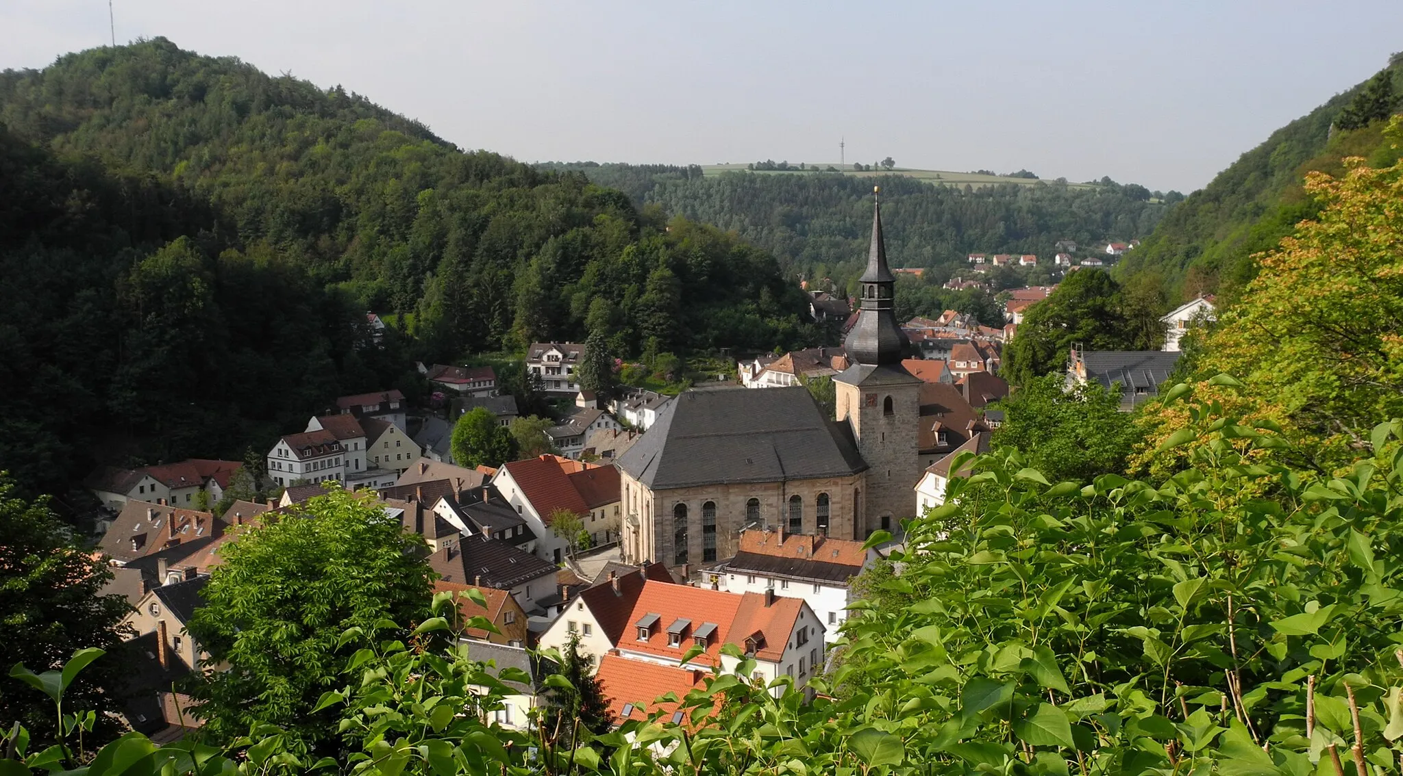
ÜtzdorfVillageÜtzdorf is a small village with idyllic landscapes and charming architecture.
52 km
52 km
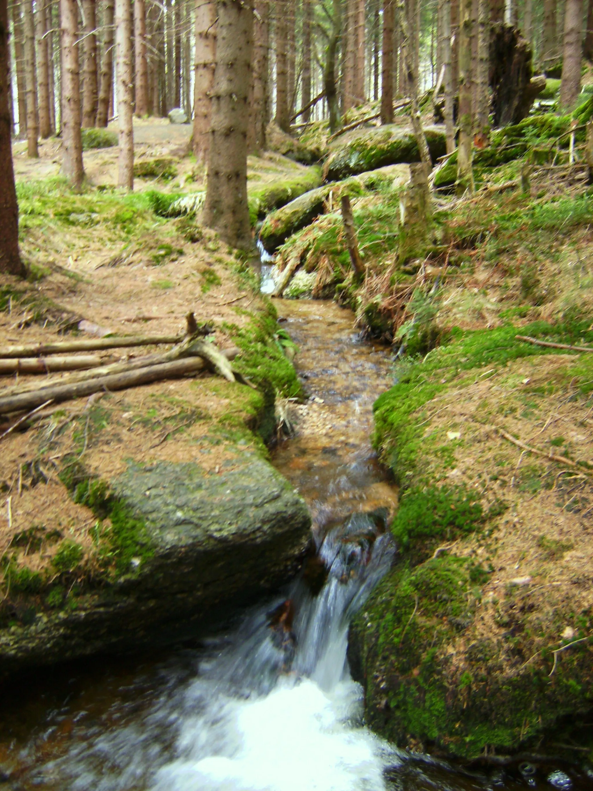
Viewpoint CascadeViewpointViewpoint Cascade provides a stunning view of a waterfall in the area.
52 km
52 km
Neues Schloss EremitageCastleNeues Schloss Eremitage is an impressive palace complex with beautiful gardens and fountains.
52 km
52 km
Finish: St. Johannis Village centerBayreuth: Immerse yourself in culture and nature while cycling through Bayreuth.
Cycling routes from Bayreuth:
Hohe Warte Gravel Route Bayreuth Road Adventure Bleyer and Beyond Goldkronach Loop Bayreuth Epic Adventure Gravel Adventure: Castle Hopping in Upper Franconia Immersive Road Cycling: Mistelbach Historic Route Gravel Road Adventure Historical Gravel Adventure: Atop the Crowned Cliffs Scenic Gravel Expedition: A Journey through Nature and History Bayreuth Hills Gravel Adventure Castles and Views
Cycling routes nearby: