Strullendorf Gravel Adventure
A gravel cycling route starting from Breitengussbach
A thrilling gravel ride with a mix of forest trails and open roads
Map
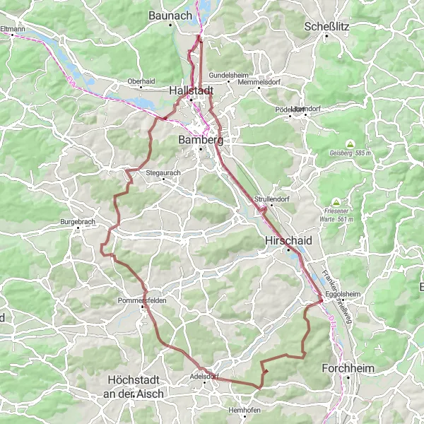
Get ready for a true off-road cycling adventure with this 87 km gravel route starting near Breitengüßbach. The route combines challenging gravel sections with open roads, providing a variety of terrain for gravel enthusiasts. Discover the hidden gems of Strullendorf and Schlammersdorf as you navigate through beautiful forest trails. With an ascent of 698 meters and a distance of 87 km, this route poses a moderate difficulty level and is suitable for experienced gravel riders. Rated with an epicness of 3, this route promises an exciting and scenic journey.
gravel
87 km
698 m
Tough
Route profile
Highlights on the route
0 km
0 km
Start: Breitengüßbach Village centerBreitengüßbach: Cycling paradise in Oberfranken.
Breitengüßbach, located in the Oberfranken region of Germany, offers a variety of cycling routes for road and gravel cyclists. The area is known for its rolling hills, scenic landscapes, and charming villages, creating a picturesque backdrop for cycling. Cyclists can explore the surrounding Franconian Switzerland region, which offers challenging climbs and beautiful routes. Must-ride climbs in this area include the Nollen and Streckental. Breitengüßbach is also within close proximity to the city of Bamberg, providing additional cycling routes and cultural attractions. Overall, Breitengüßbach is a cyclist's paradise with much to offer.0 km
0 km
BreitengüßbachVillageStart and finish your gravel adventure in picturesque Breitengüßbach.
18 km
18 km
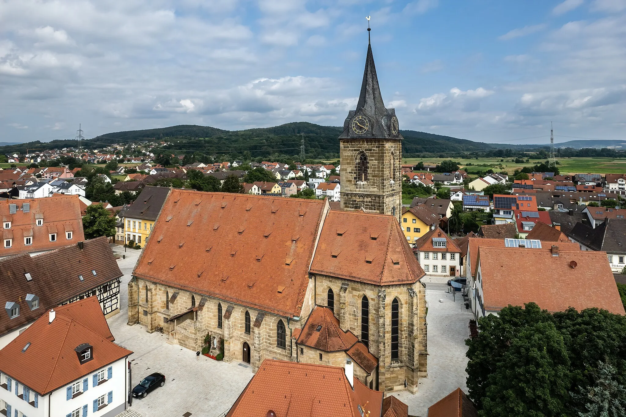
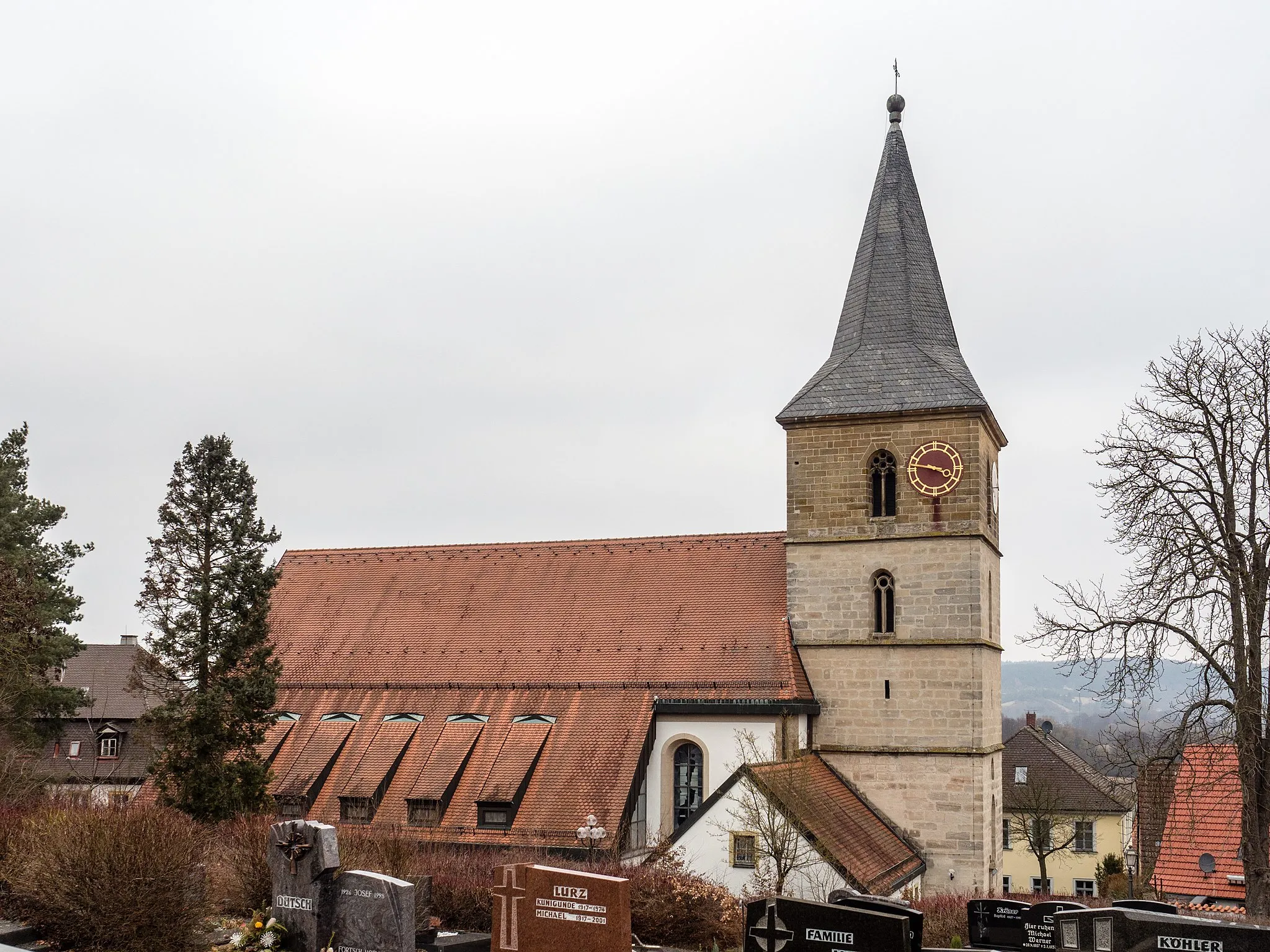
StrullendorfVillageVisit Strullendorf and explore its charming town center.
29 km
29 km
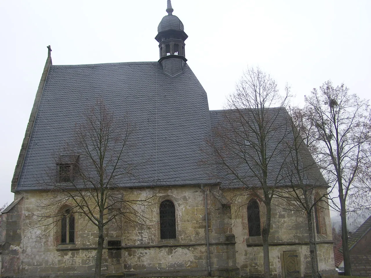
SchlammersdorfVillageExperience the thrill of cycling through the scenic forest trails of Schlammersdorf.
34 km
34 km
Rabensberg379 mPeakConquer the challenging ascent of Rabensberg.
55 km
55 km
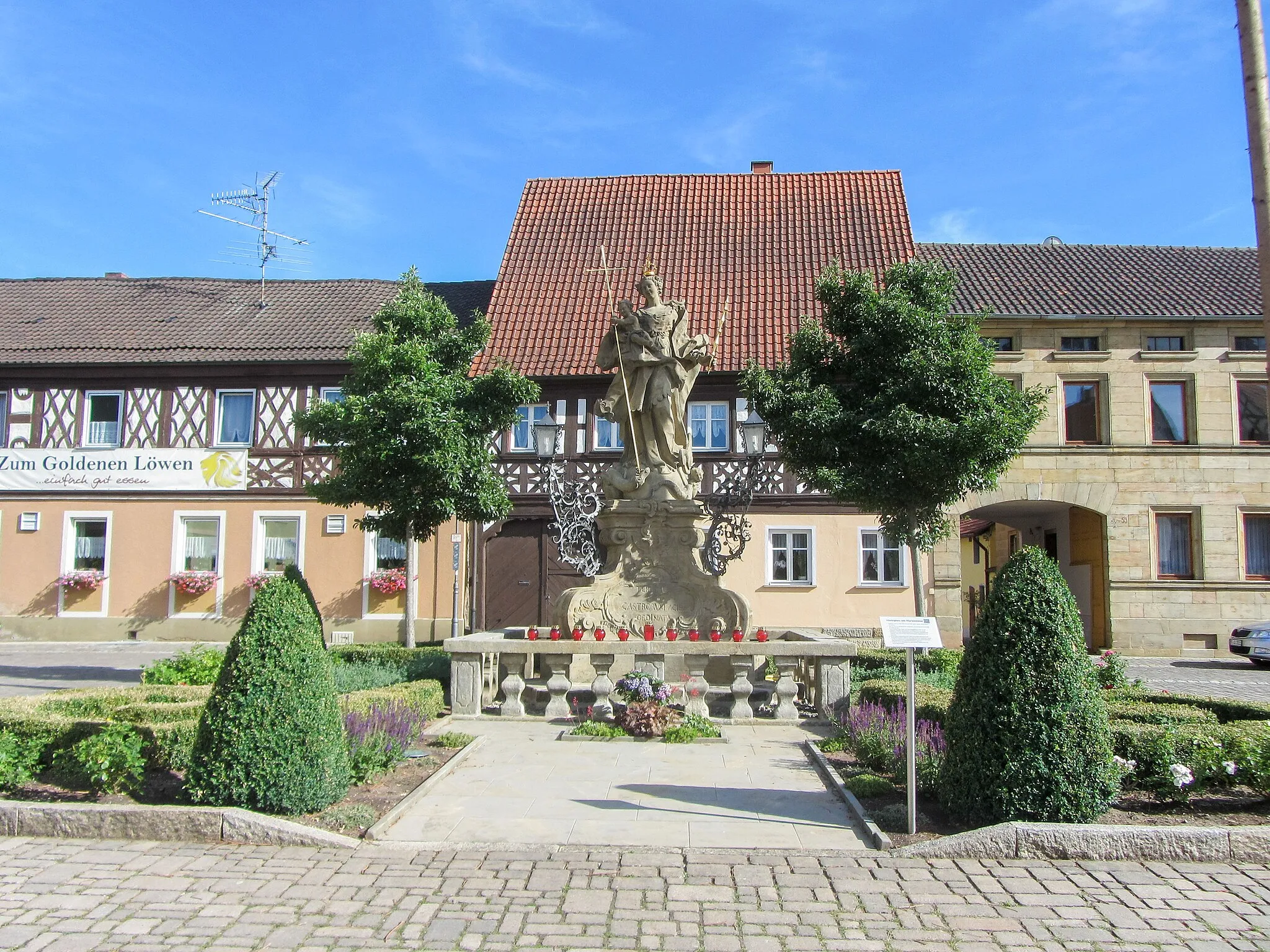
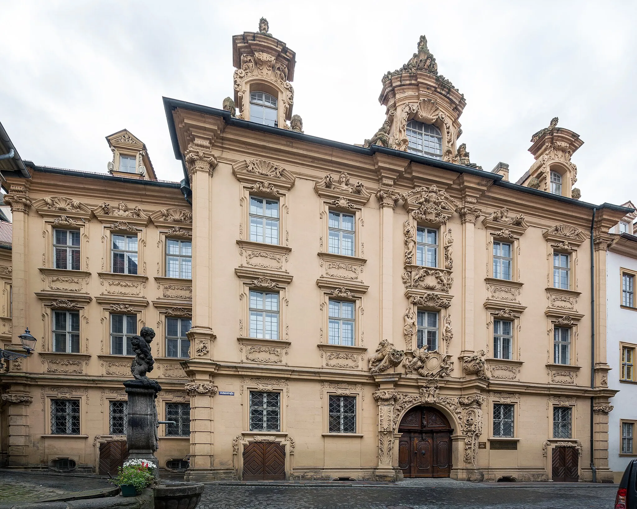
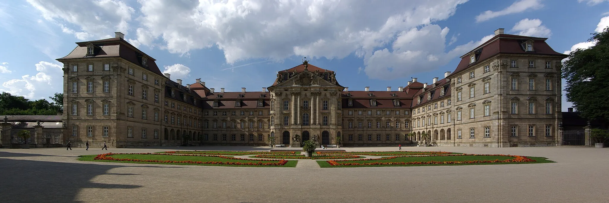
PommersfeldenVillageDiscover the beauty of Pommersfelden during your gravel adventure.
76 km
76 km
Vogelberg320 mPeakMarvel at the stunning views from the top of Vogelberg.
77 km
77 km
BischbergVillageMake a stop in Bischberg and take a break at the local café.
85 km
85 km
KemmernVillagePass through Kemmern and enjoy a leisurely ride along the charming village streets.
87 km
87 km
Finish: Breitengüßbach Village centerBreitengüßbach: Cycling paradise in Oberfranken.
Cycling routes nearby: