Untouched Landscapes: Lerchenbühl to Bühl
A gravel cycling route starting from Creussen
Immerse yourself in untouched landscapes as you ride from Lerchenbühl to Bühl on this challenging gravel route.
Map
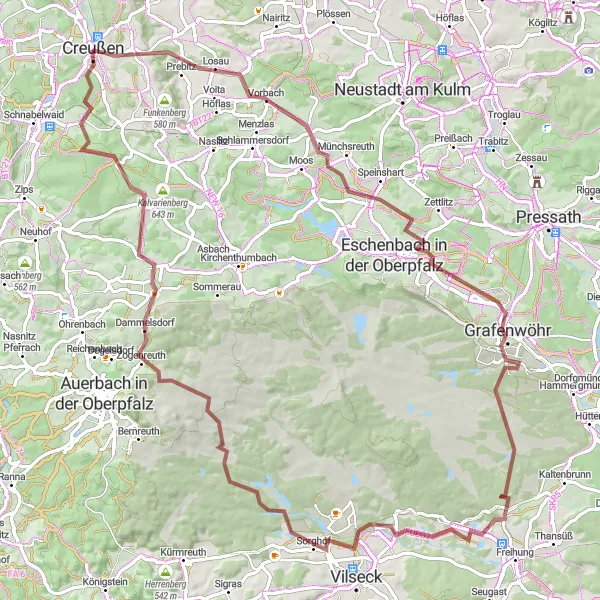
This gravel route takes you through the exclusive region between Lerchenbühl and Bühl, offering breathtaking views of untouched landscapes. Traverse the rural areas of Grafenwöhr and soak in the beauty of Gugelplatte, a hill with vast meadows. Pedal through woodlands and explore the picturesque Preunersfelder Rangen before reaching Bühl. While this route is challenging, it rewards cyclists with panoramic views and a unique natural experience.
gravel
89 km
916 m
Tough
Route profile
Highlights on the route
0 km
0 km
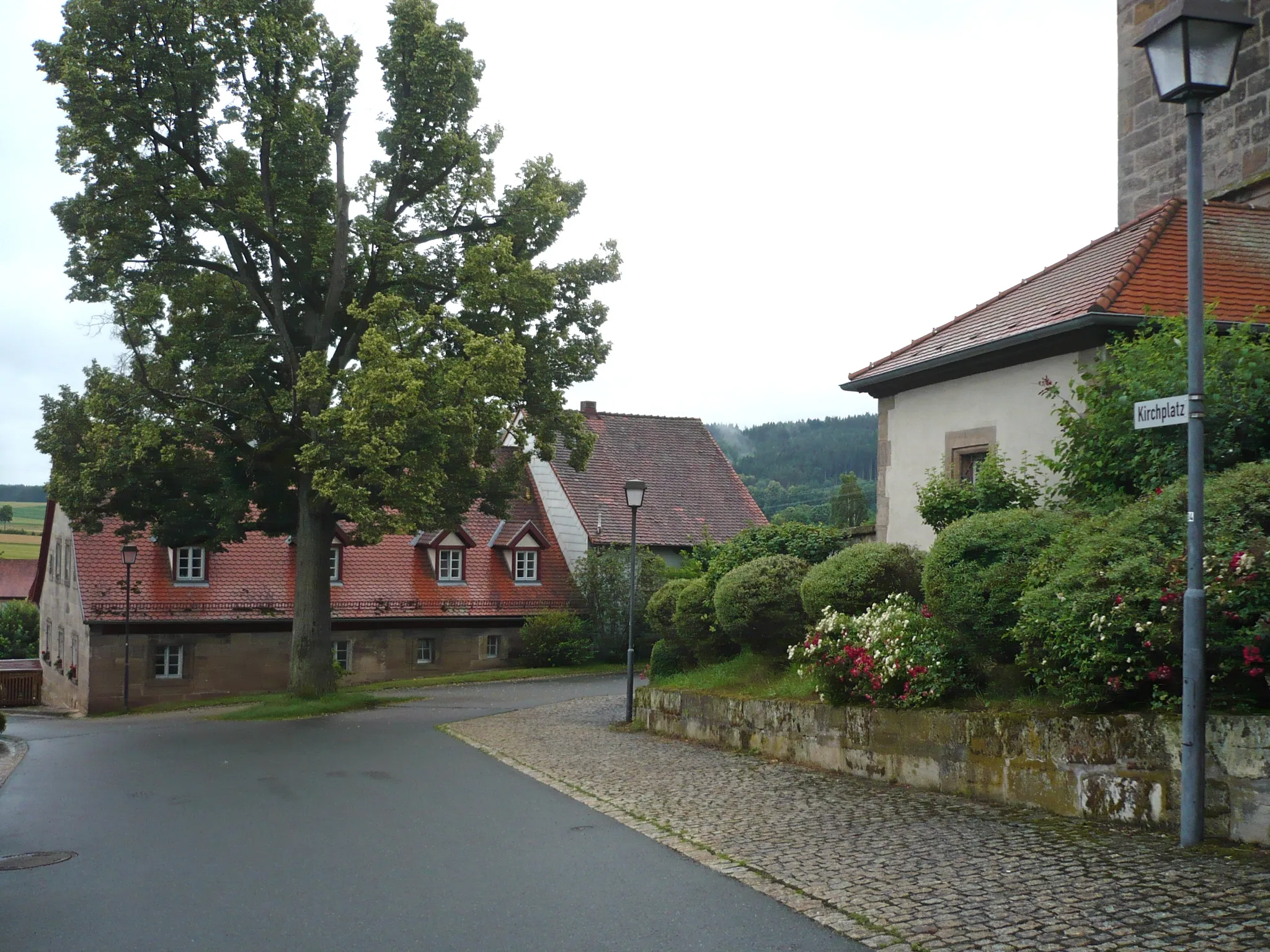
Start: Creußen City centerCreußen: Discover the charm of the Fichtel Mountains in Creußen, Oberfranken.
Creußen in Oberfranken, Germany is a hidden gem for road and gravel cyclists with its diverse terrain and low traffic roads. The locality is surrounded by the majestic Fichtel Mountains, offering both challenging climbs and breathtaking landscapes. Cyclists can also explore the Burgenstraße, a famous castle route that passes through picturesque villages. Creußen is a fantastic destination for cyclists looking to experience the best of nature and history.1 km
1 km
Lerchenbühl492 mPeak29 km
29 km
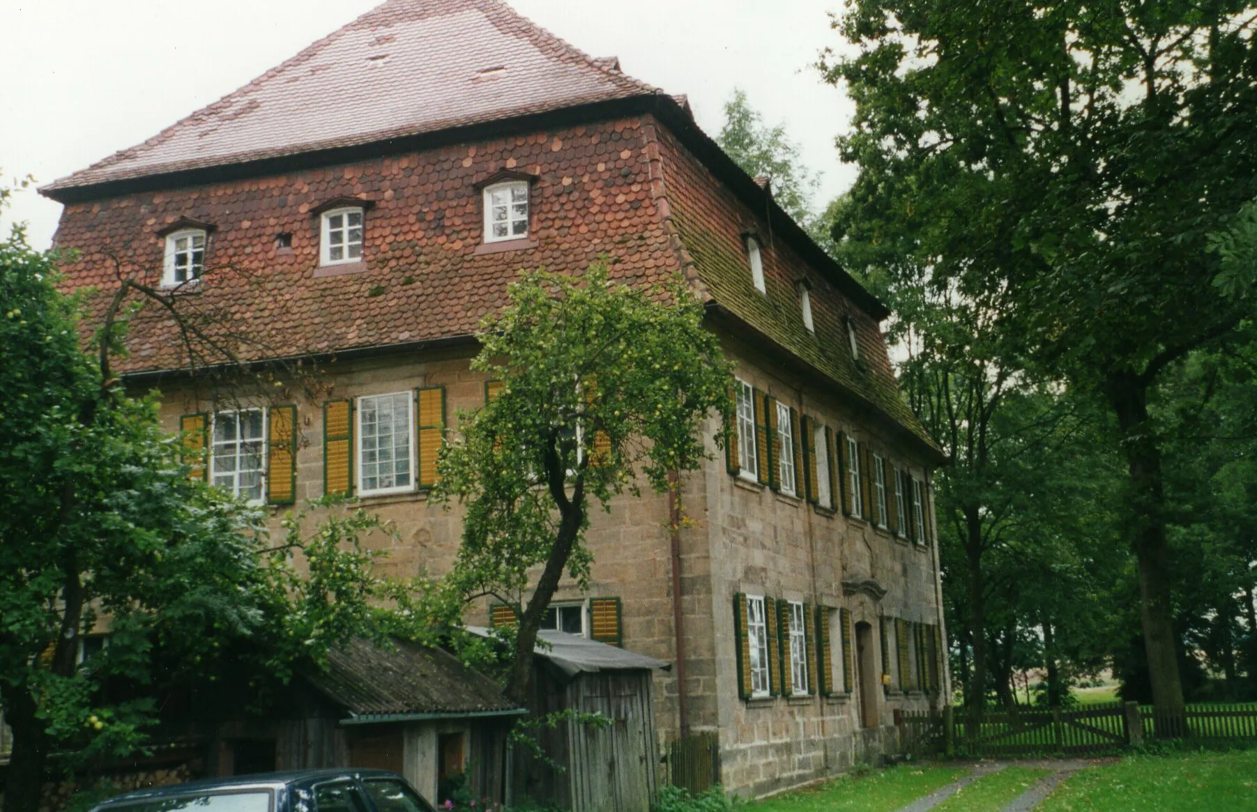
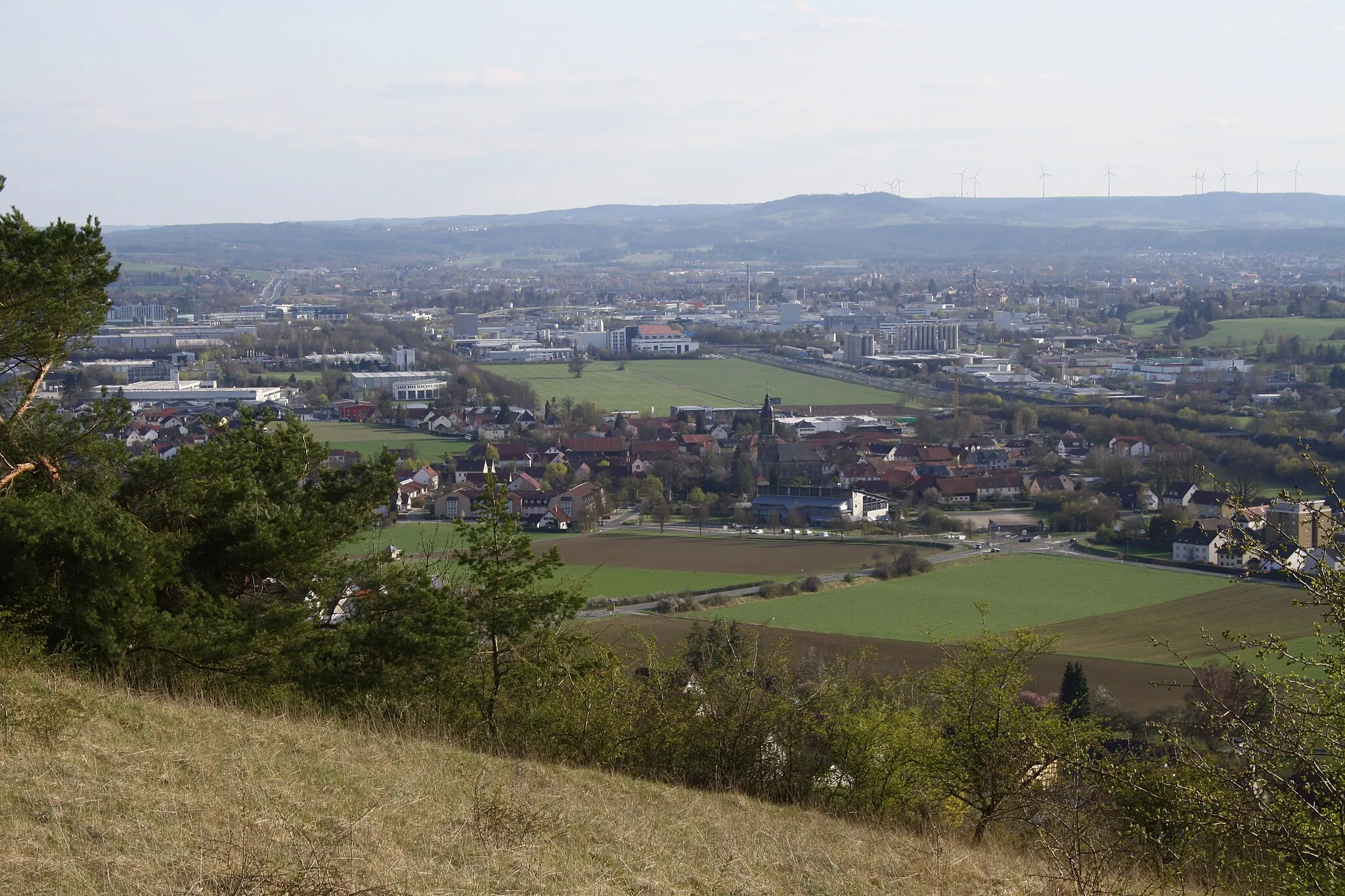
GrafenwöhrTownDiscover Grafenwöhr, a charming village with a rich military history.
69 km
69 km
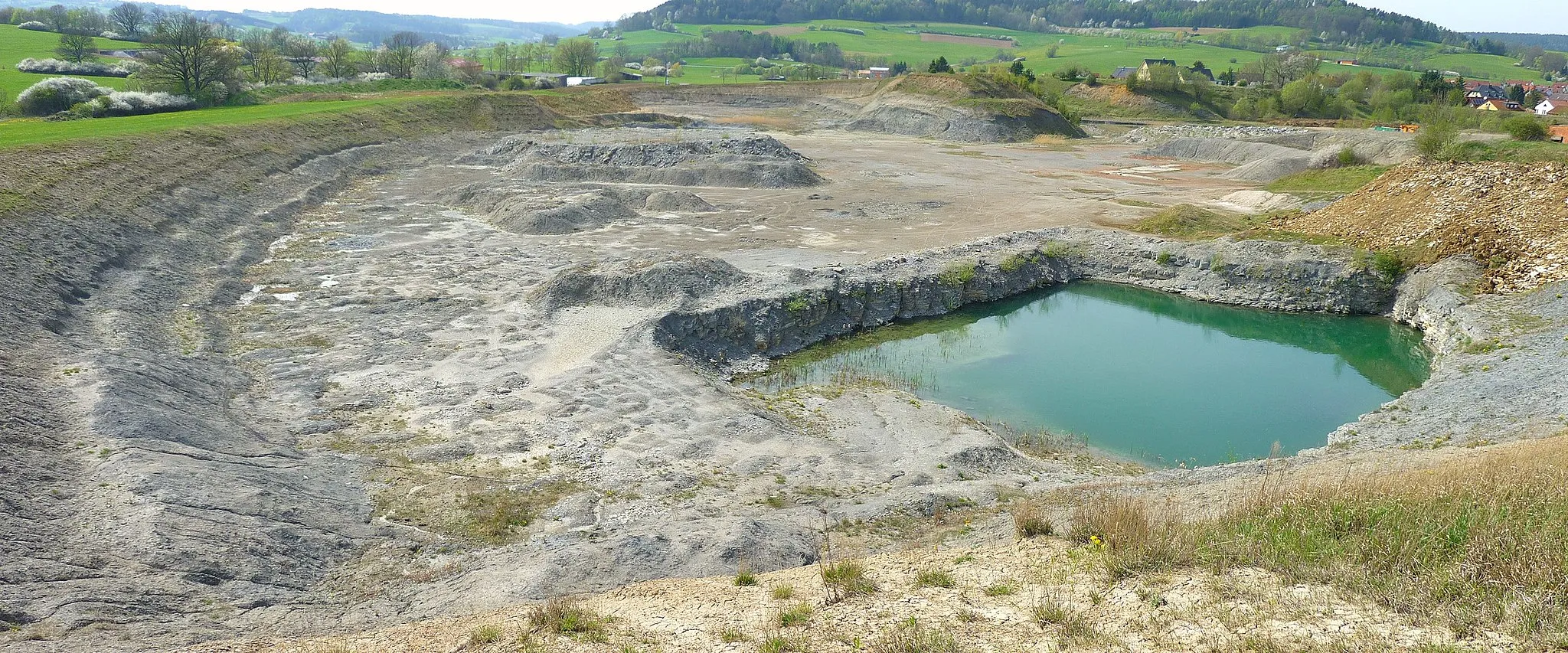
Gugelplatte537 mPeakGugelplatte offers sweeping views of meadows and forests, providing a peaceful retreat during your ride.
82 km
82 km
Preunersfelder Rangen630 mPeakExperience the unspoiled beauty of Preunersfelder Rangen, an ideal location for nature enthusiasts.
89 km
89 km
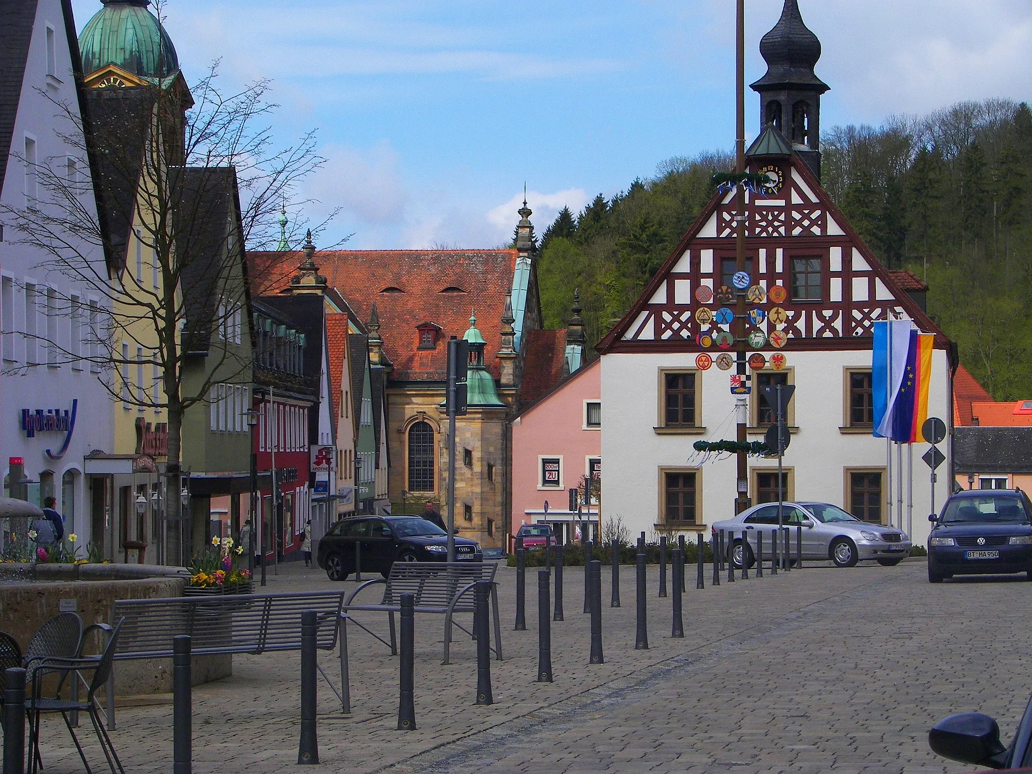
BühlVillageClimb Bühl and enjoy breathtaking panoramic views at the summit.
89 km
89 km
Finish: Creußen City centerCreußen: Discover the charm of the Fichtel Mountains in Creußen, Oberfranken.
Cycling routes from Creussen:
Funkenberg and Beyond: A Road Cyclist's Dream Eschenbach Loop: Scenic Road Cycling Route Challenging Loop from Creußen to Altencreußen Creußen to Sculptures in the Forest Gravel Adventure: Creußen - Schnabelwaid - Waischenfeld Loop Gravel Exploration: Creußen - Seybothenreuth - Neustadt am Kulm Loop Road Beauty: Creußen - Obertrubach - Buchauer Berg Circuit Untouched Landscapes: Lerchenbühl to Bühl Road Escape: Creußen - Funkenberg - Schnabelwaid Circuit Gravel Greatness: Creußen - Pegnitz - Schloss Unternschreez Loop
Cycling routes nearby: