The Gravel Adventure
A gravel cycling route starting from Kemmern
Explore the rugged gravel roads of Oberfranken
Map
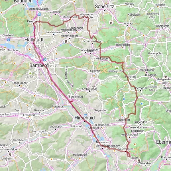
Embark on a gravel adventure through the picturesque landscapes of Oberfranken. This route offers a challenging ascent and covers a distance of 76 kilometers. With highlights including the panoramic view from Bamberg-Blick and the charming village of Straßgiech, this route is perfect for gravel enthusiasts looking for a unique and immersive cycling experience.
gravel
76 km
931 m
Tough
Route profile
Highlights on the route
0 km
0 km
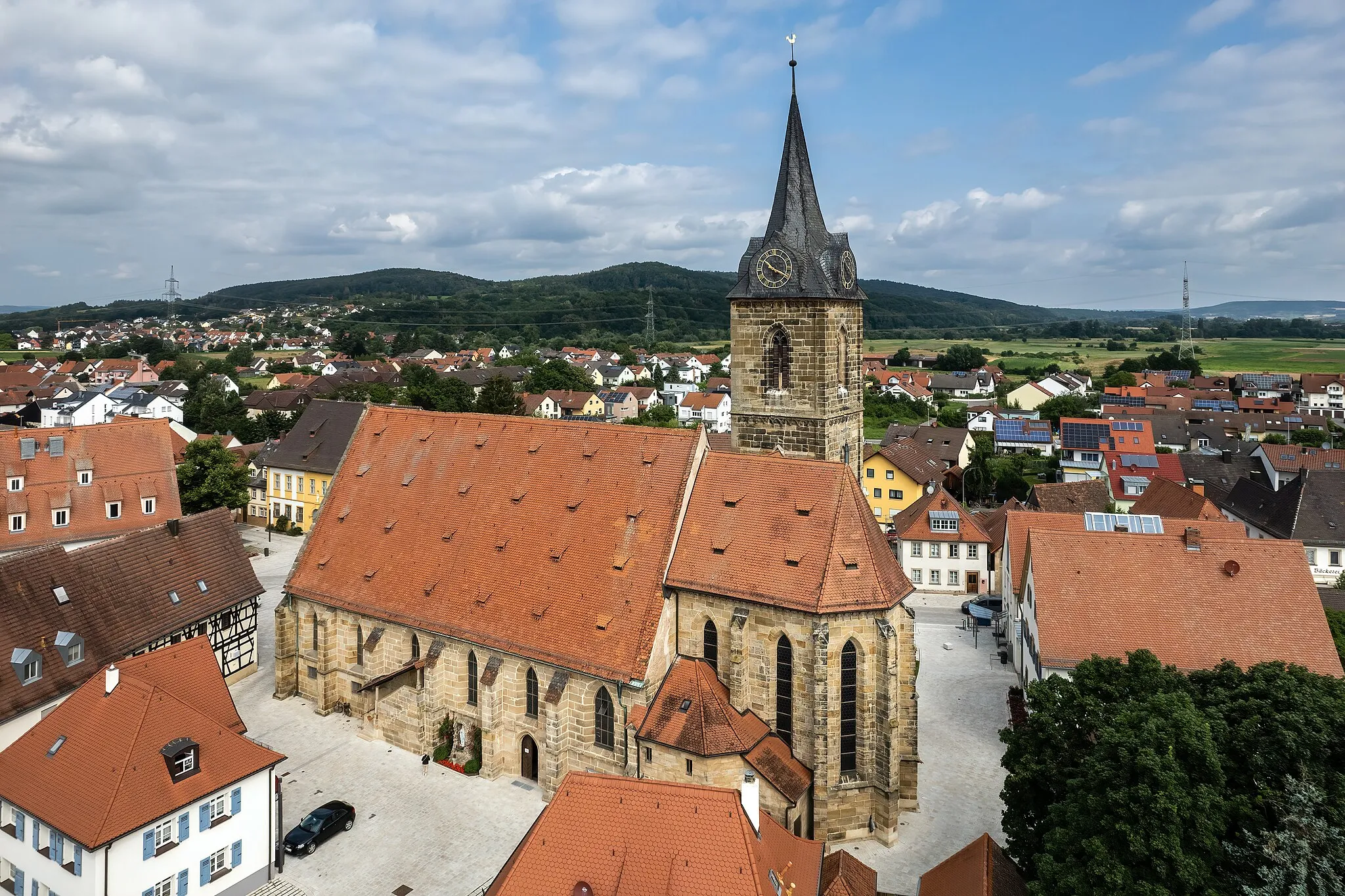
Start: Kemmern Village centerKemmern: Conquering challenging climbs and exploring the surreal landscapes of Franconian Switzerland.
Kemmern, situated in Oberfranken, Germany, offers a delightful cycling experience for road and gravel cyclists. The locality is nestled amidst rolling hills and beautiful landscapes, allowing cyclists to tackle challenging climbs and indulge in scenic routes. Kemmern is also well-connected to an extensive network of cycling paths that span across the region, making it easy to explore neighboring towns and villages. Cyclists can also visit the nearby Franconian Switzerland, renowned for its stunning rock formations and picturesque nature spots, including the famous climbing area of Devil's Pulpit.12 km
12 km
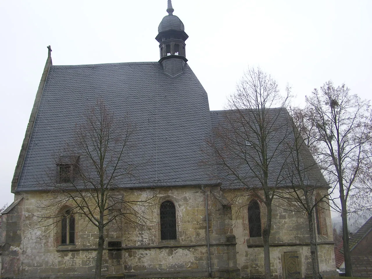
StraßgiechVillageStop at Straßgiech, a quaint village surrounded by beautiful forests and fields. Take a moment to appreciate the peaceful ambiance and soak in the natural beauty.
17 km
17 km
Brandinger Knock428 mPeakBrandinger Knock offers a challenging climb, rewarding cyclists with breathtaking views of the surrounding countryside. Push yourself and conquer this impressive ascent.
29 km
29 km
Bamberg-BlickViewpointAt Bamberg-Blick, enjoy a mesmerizing panoramic view of the historical city of Bamberg. Marvel at the stunning architecture and vibrant colors below.
38 km
38 km
GunzendorfVillageGunzendorf welcomes you with its idyllic scenery and charming traditional houses. Take a break here and soak in the tranquil atmosphere of this quaint village.
45 km
45 km
Högelstein497 mPeakHögelstein stands tall as a natural landmark, offering a unique backdrop for memorable photos. Appreciate the geological wonder and its ageless grandeur.
48 km
48 km
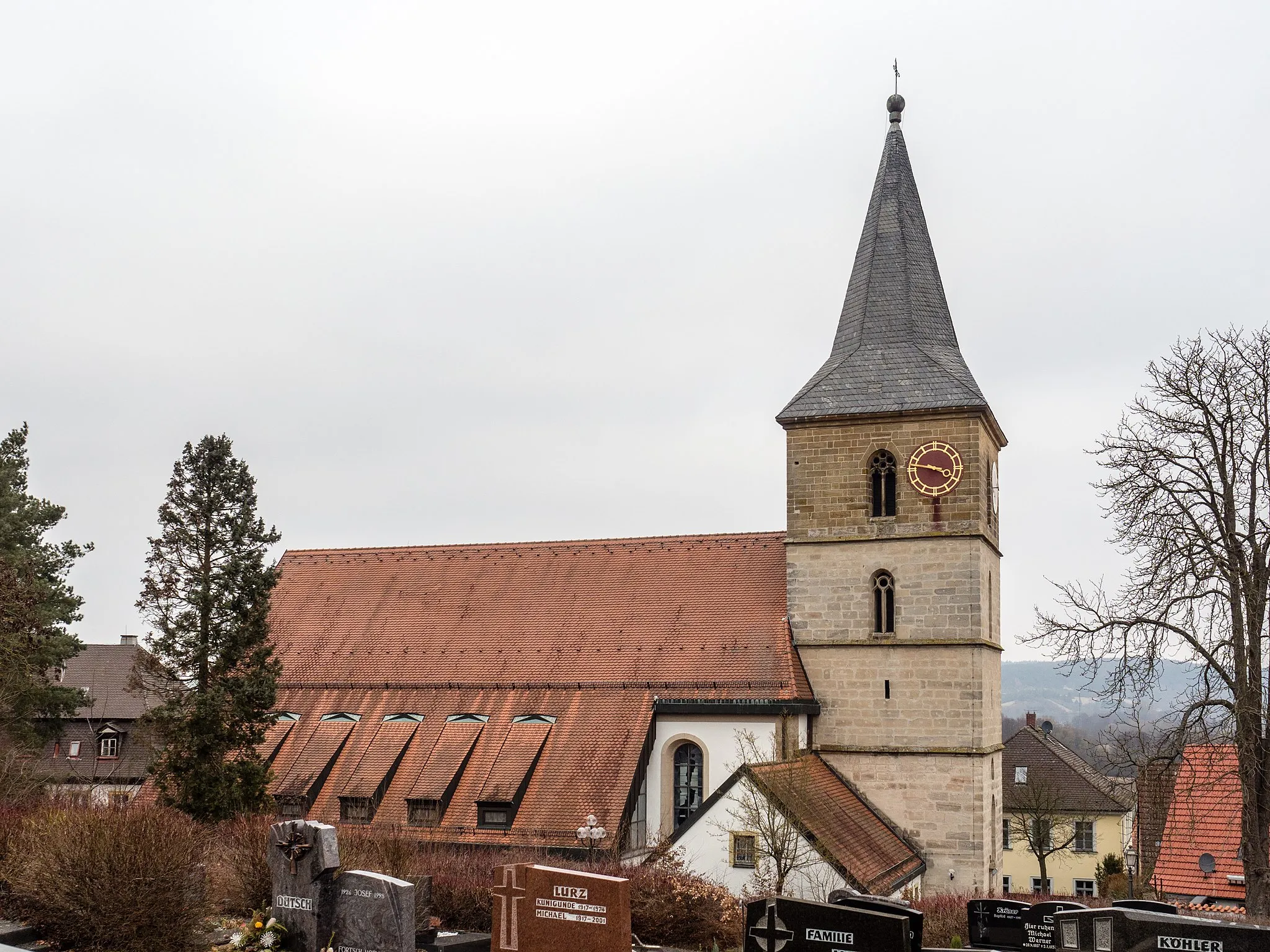
EggolsheimVillageEggolsheim enchants with its rural charm and picturesque landscapes. Slow down here and enjoy the peaceful ambiance of this traditional village.
69 km
69 km
Aussichtsplatform GärtnerstadtViewpointAussichtsplatform Gärtnerstadt invites you to take in the panoramic views of the surrounding countryside. Marvel at the patchwork of meadows and vineyards stretching into the distance.
73 km
73 km
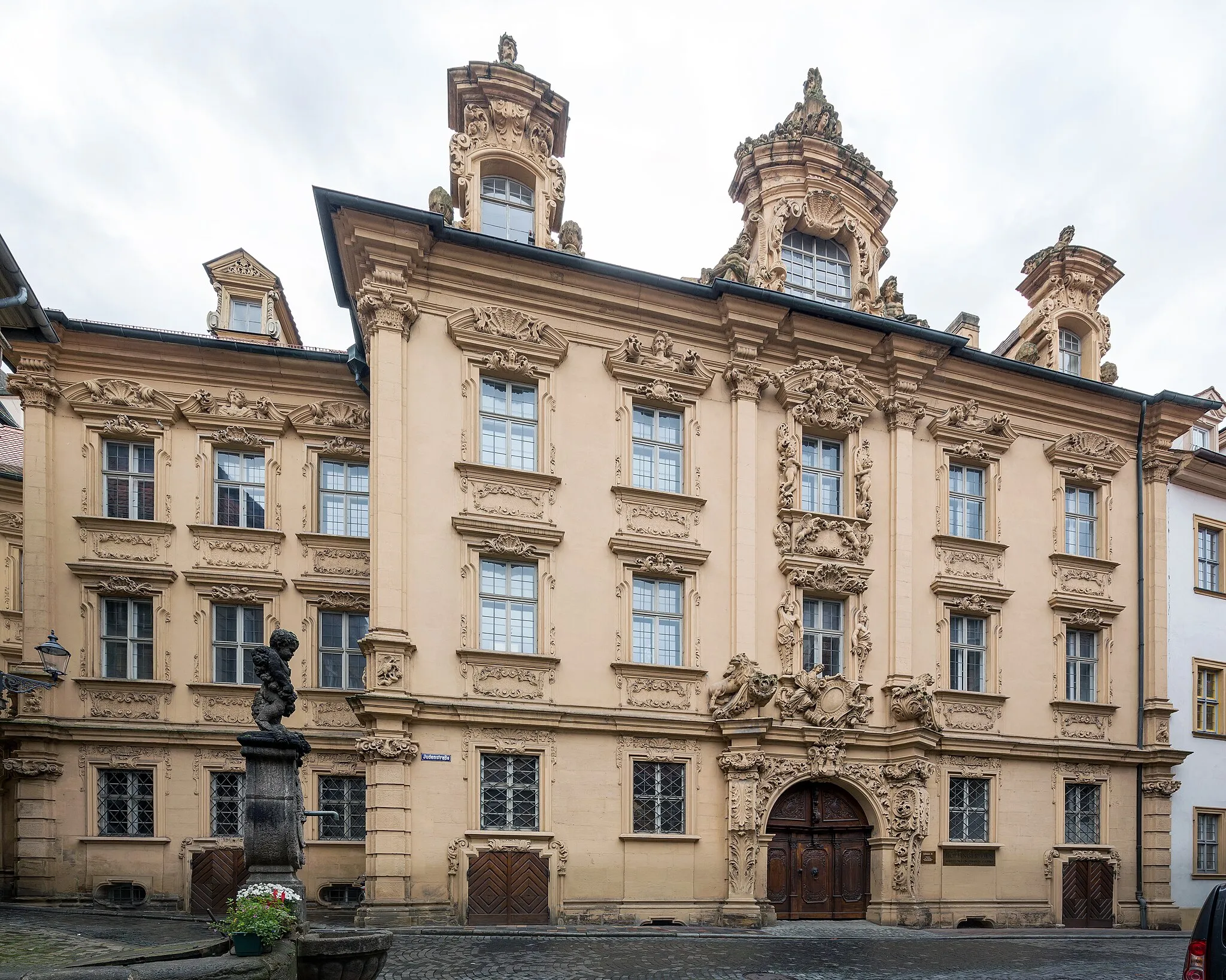
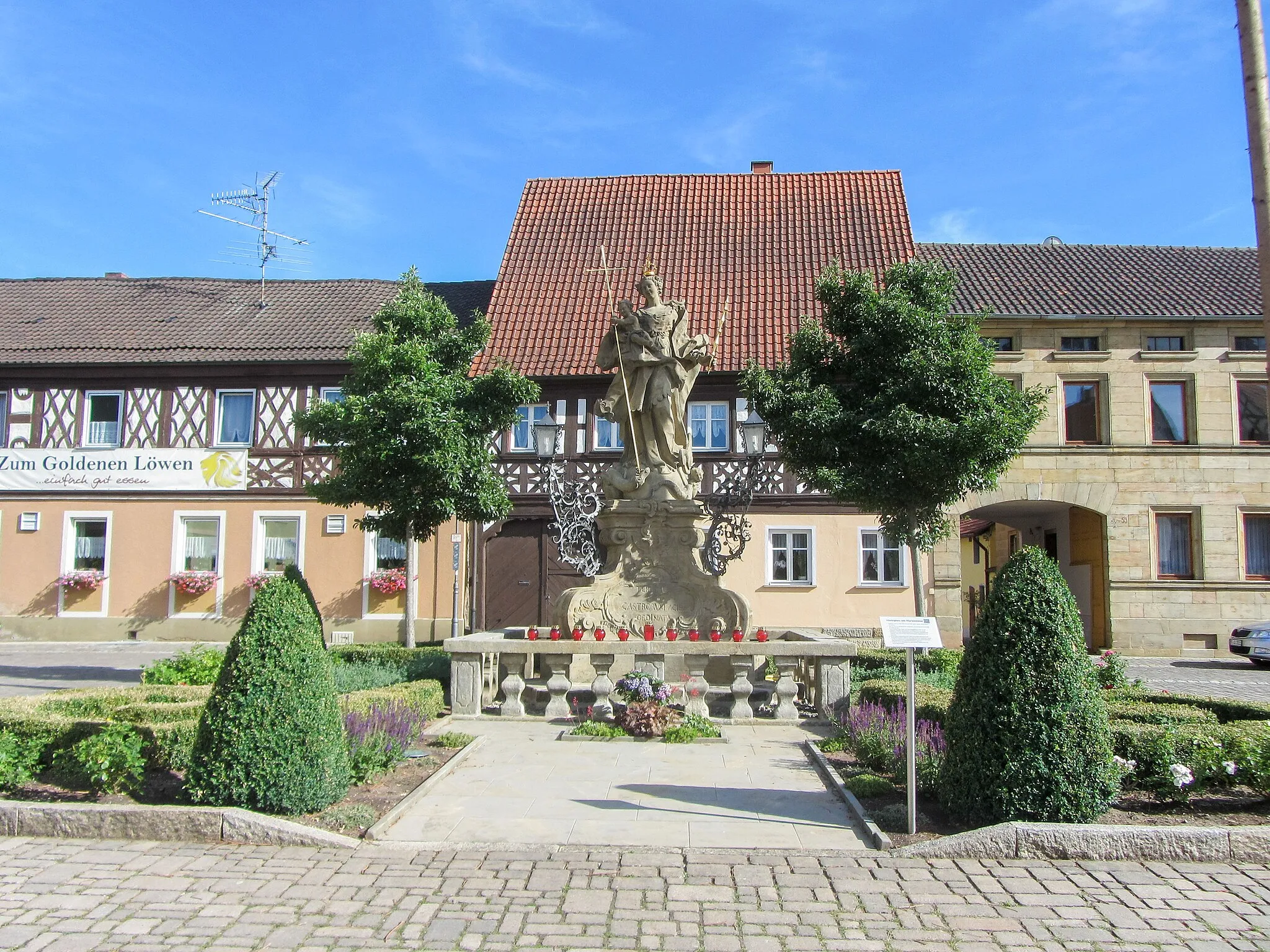
HallstadtTownHallstadt boasts a rich history and stunning architecture. Take a leisurely stroll through the narrow streets and discover the charming character of this town.
76 km
76 km
Finish: Kemmern Village centerKemmern: Conquering challenging climbs and exploring the surreal landscapes of Franconian Switzerland.
Cycling routes from Kemmern:
Along Eibrücken Baunach-Itzgrund-Blick-Trimeusel-Nedensdorf-Staffelberg-Horsdorf-Ansberg-Windischletten-Kemmern Loop The Gravel Adventure The Short Gravel Escape Hallstadt-Vogelberg-Burgebrach-Lisberg-Semberg-Kemmern Loop Höfen-Gleusdorf-Himmelreich-Steglitz-Badstaffelstein-Ansberg-Oberoberndorf-Breitengüßbach Loop The Country Road Expedition The Scenic Road Ride The Ultimate Road Adventure Breitengüßbach-Dörrnwasserlos-Kemitzenstein-Kalkberg-Weismain-Thurnau-Belvedere-Hollfeld-Ellernbachtal-Blick-Hallstadt Loop Bike Adventure in Oberfranken Scenic Road Cycling Tour in Oberfranken
Cycling routes nearby: