Marktzeuln - Starting Loop Road Route
A road cycling route starting from Marktzeuln
Cycle through the scenic roads out of Marktzeuln
Map
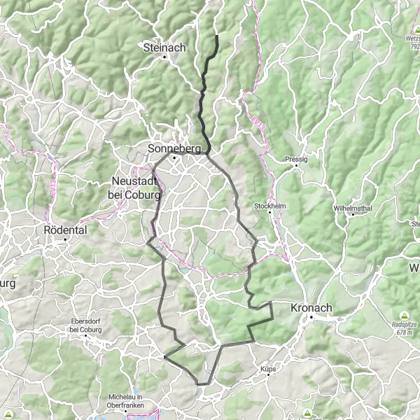
This road route starting near Marktzeuln takes cyclists through beautiful landscapes and challenging terrains. With a total distance of 81 kilometers and an ascent of 1000 meters, this route is suitable for moderately experienced cyclists. The highlights of this route include Marktgraitz, Horber Berg, Sternwarte Sonneberg, Bocksberg, Hessenhöhe, Föritz, Rotschreuther Berg, and Schmölz. These attractions offer breathtaking views and a chance to explore the local culture. Overall, this route is a great way to discover the beauty of Oberfranken.
road
81 km
1000 m
Tough
Route profile
Highlights on the route
0 km
0 km
Start: Marktgraitz Village centerMarktzeuln: Scenic countryside cycling in Marktzeuln, Oberfranken
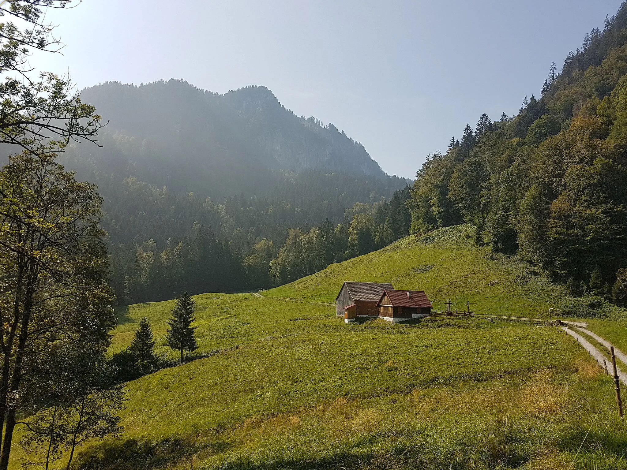
Marktzeuln, located in Oberfranken, Germany, offers a serene and cyclist-friendly environment. With its rolling hills, lush green landscapes, and charming villages, the region provides a delightful experience for road and gravel cyclists. Cyclists can enjoy scenic routes passing through the picturesque countryside and explore the area's historical sites and cultural attractions. Although Marktzeuln doesn't boast any famous climbs, it compensates with its peaceful and scenic surroundings. Overall, Marktzeuln is a fantastic locality for riders looking to immerse themselves in the beauty of Oberfranken.0 km
0 km
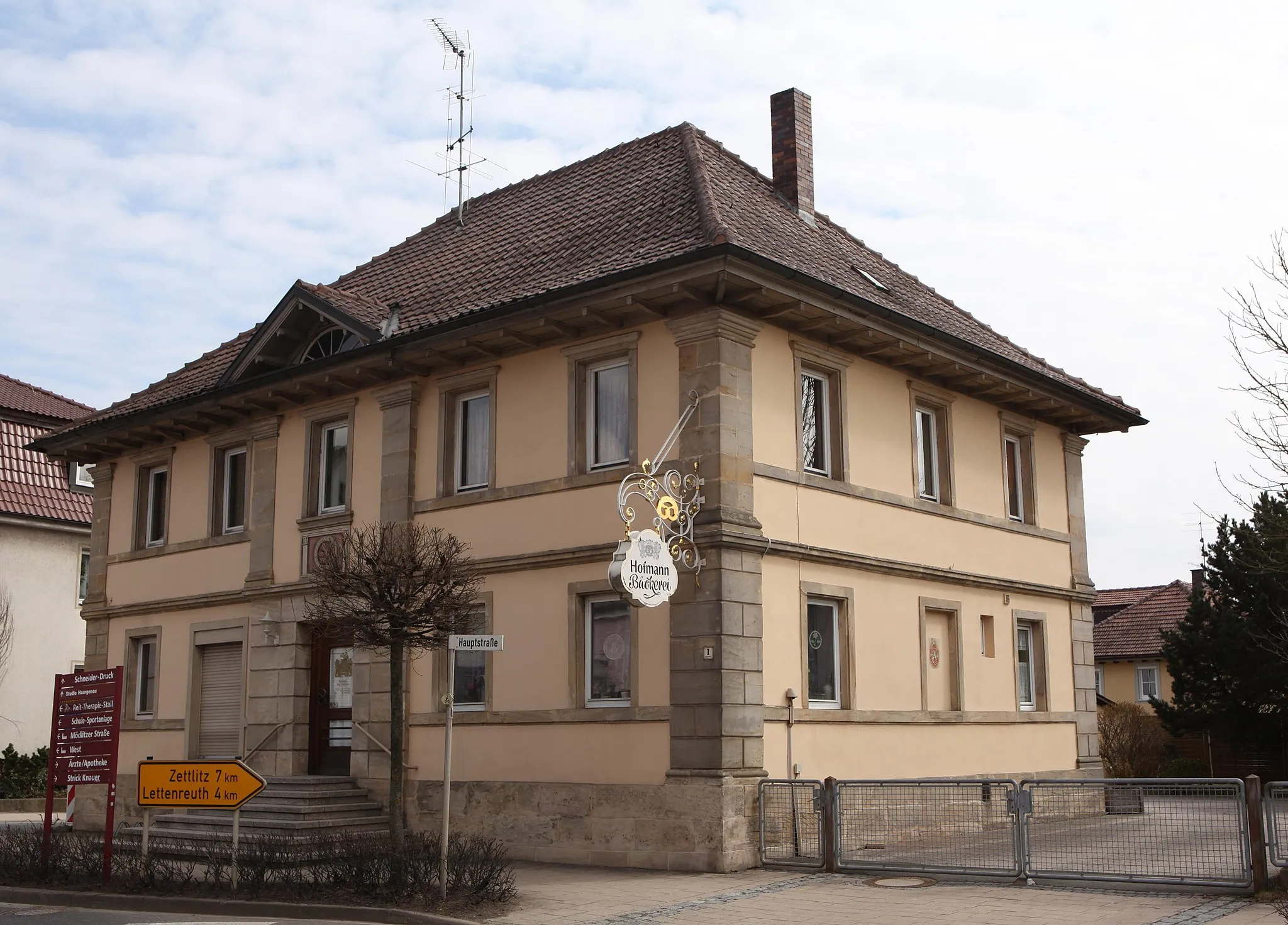
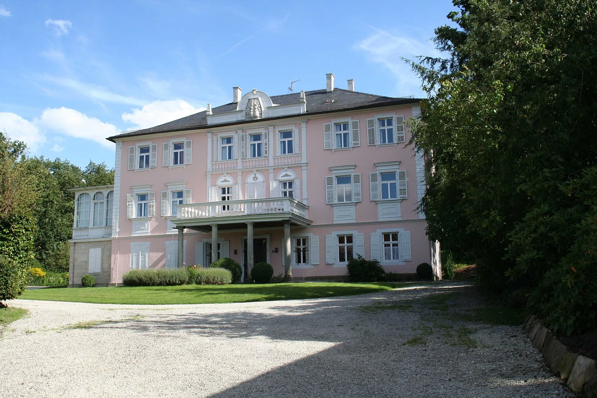
MarktgraitzVillageMarktgraitz is a picturesque village with charming traditional architecture and cozy cafes. It's a perfect spot to take a break and enjoy the local hospitality.
16 km
16 km
Horber Berg439 mPeakHorber Berg is a short but challenging climb that offers stunning panoramic views of the surrounding countryside.
32 km
32 km
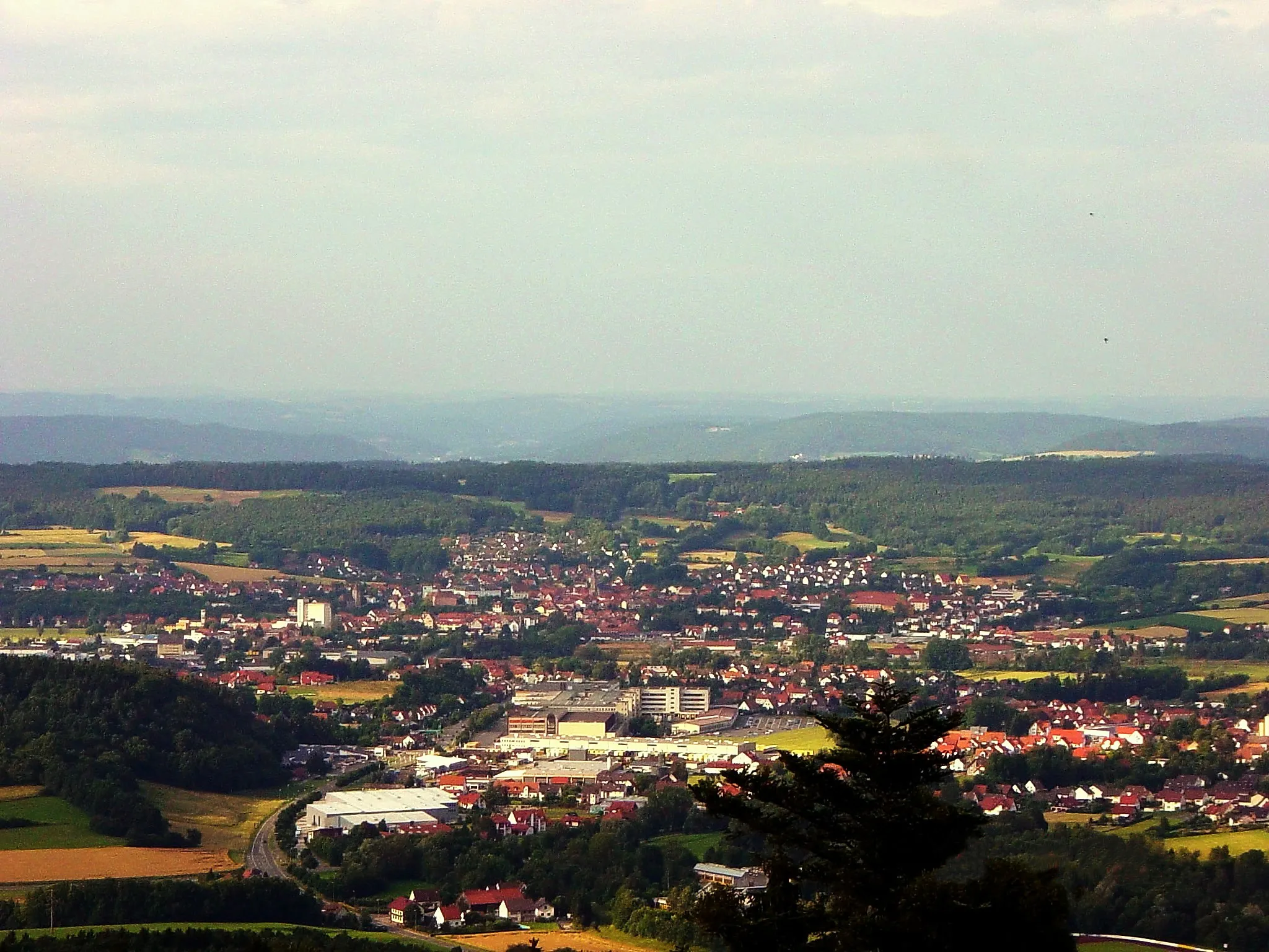
Sternwarte SonnebergAttractionSternwarte Sonneberg is a renowned observatory where visitors can learn about astronomy and observe celestial bodies.
36 km
36 km
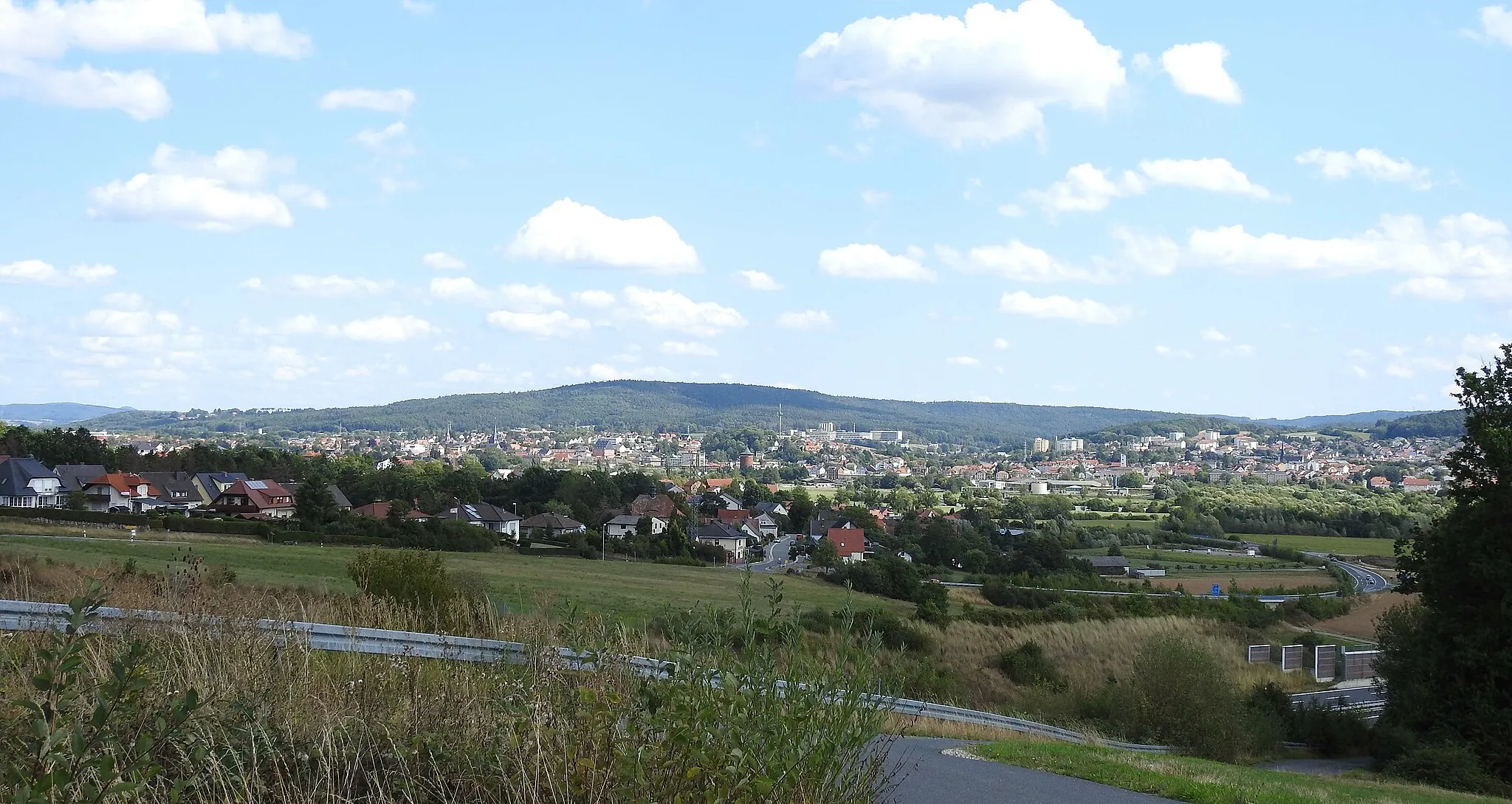
Bocksberg696 mPeakBocksberg is a scenic hill offering panoramic views. On clear days, the view extends as far as the Thuringian Forest.
47 km
47 km
Hessenhöhe647 mPeakHessenhöhe is a popular viewpoint with a stunning vista over the rolling hills of Oberfranken. It's a great place to capture some memorable photos.
54 km
54 km
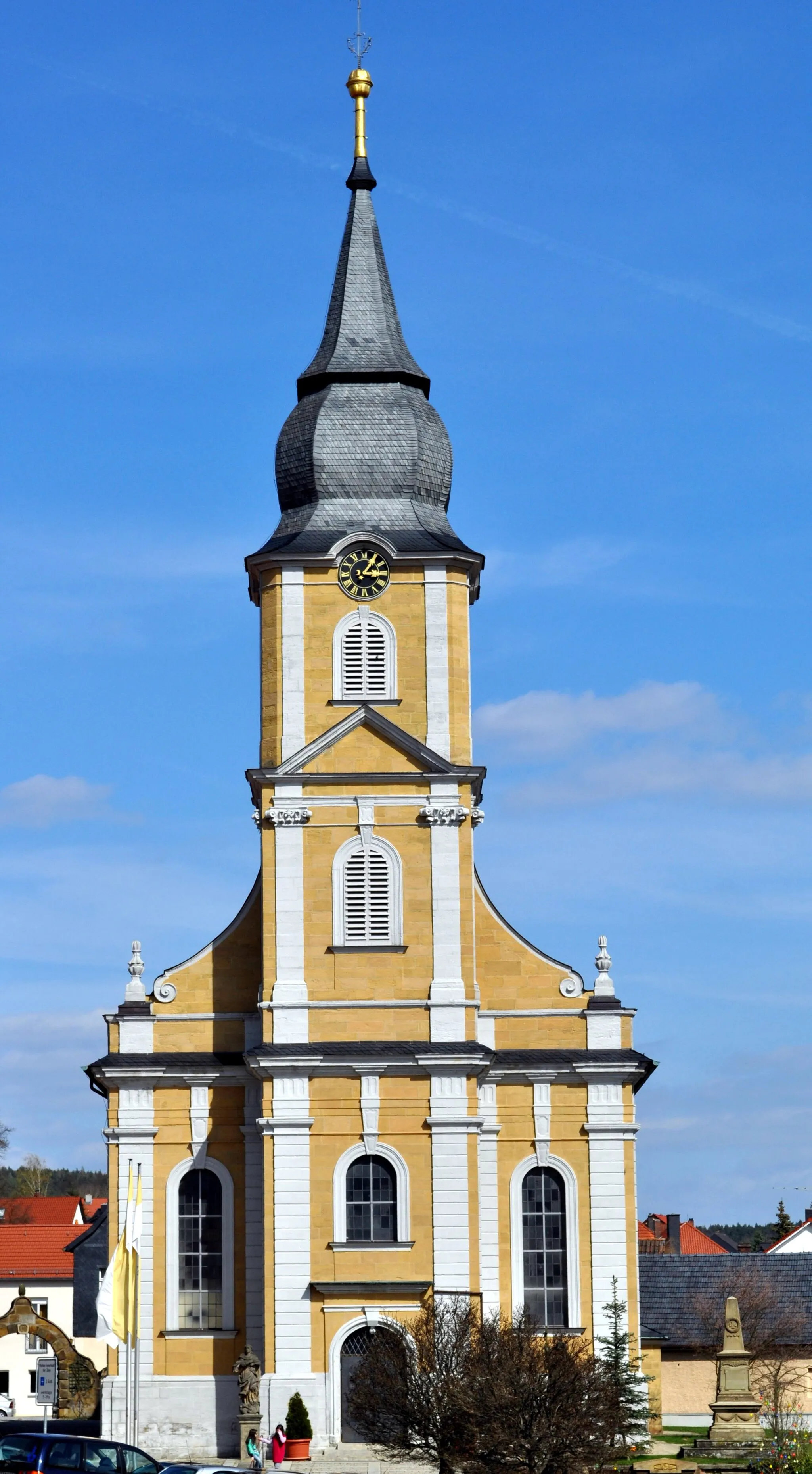
FöritzVillageFöritz is a charming village nestled between lush green fields and gentle hills. Take a moment to explore its historical buildings and enjoy the tranquil atmosphere.
65 km
65 km
Rotschreuther Berg503 mPeakRotschreuther Berg is a challenging climb rewarded with breathtaking views of the surrounding countryside. Make sure to bring your camera!
74 km
74 km
SchmölzVillageSchmölz is a scenic village surrounded by picturesque farmland and idyllic meadows. Enjoy a peaceful ride through this beautiful countryside.
81 km
81 km
Finish: Marktgraitz Village centerMarktzeuln: Scenic countryside cycling in Marktzeuln, Oberfranken
Cycling routes from Marktzeuln:
Cycling routes nearby: