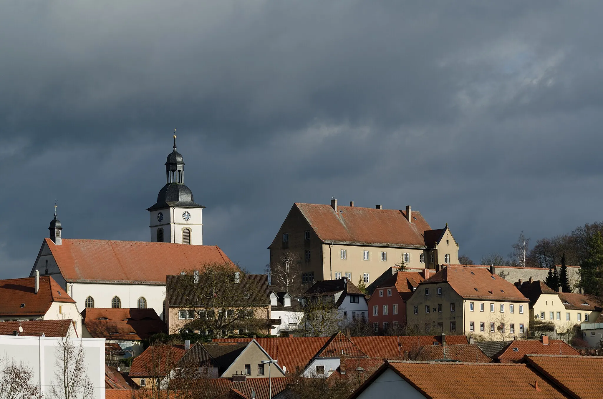
Cycling Paradise in Oberfranken, Germany
Cycling routes from Pretzfeld
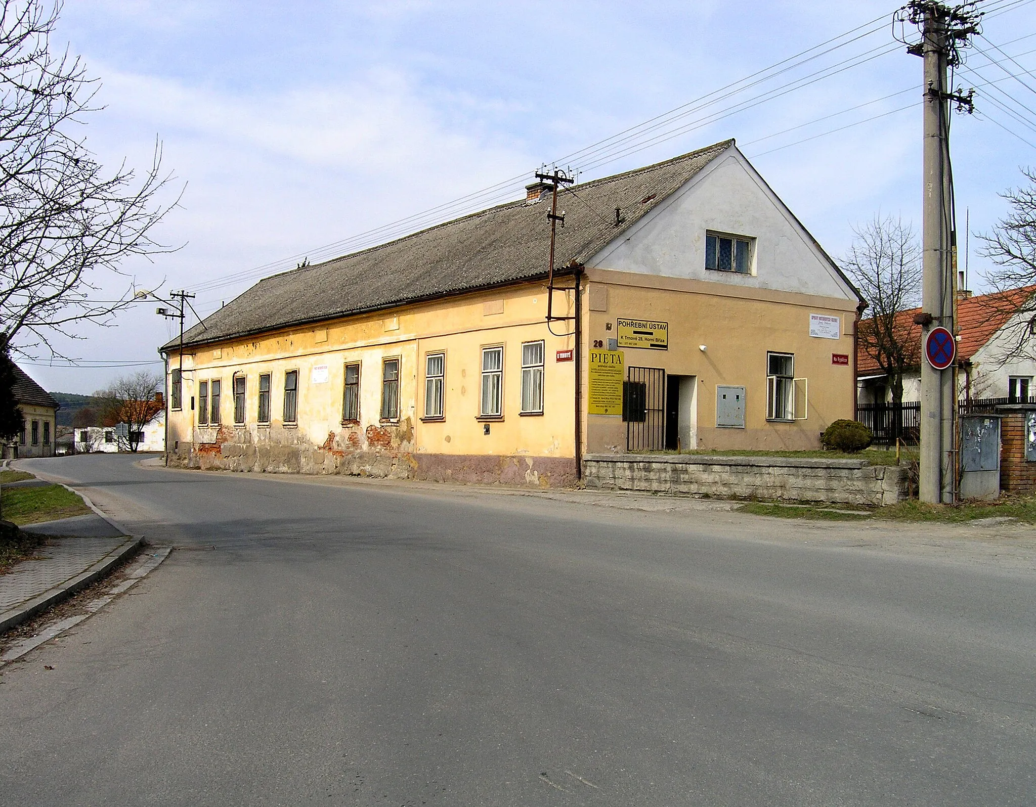
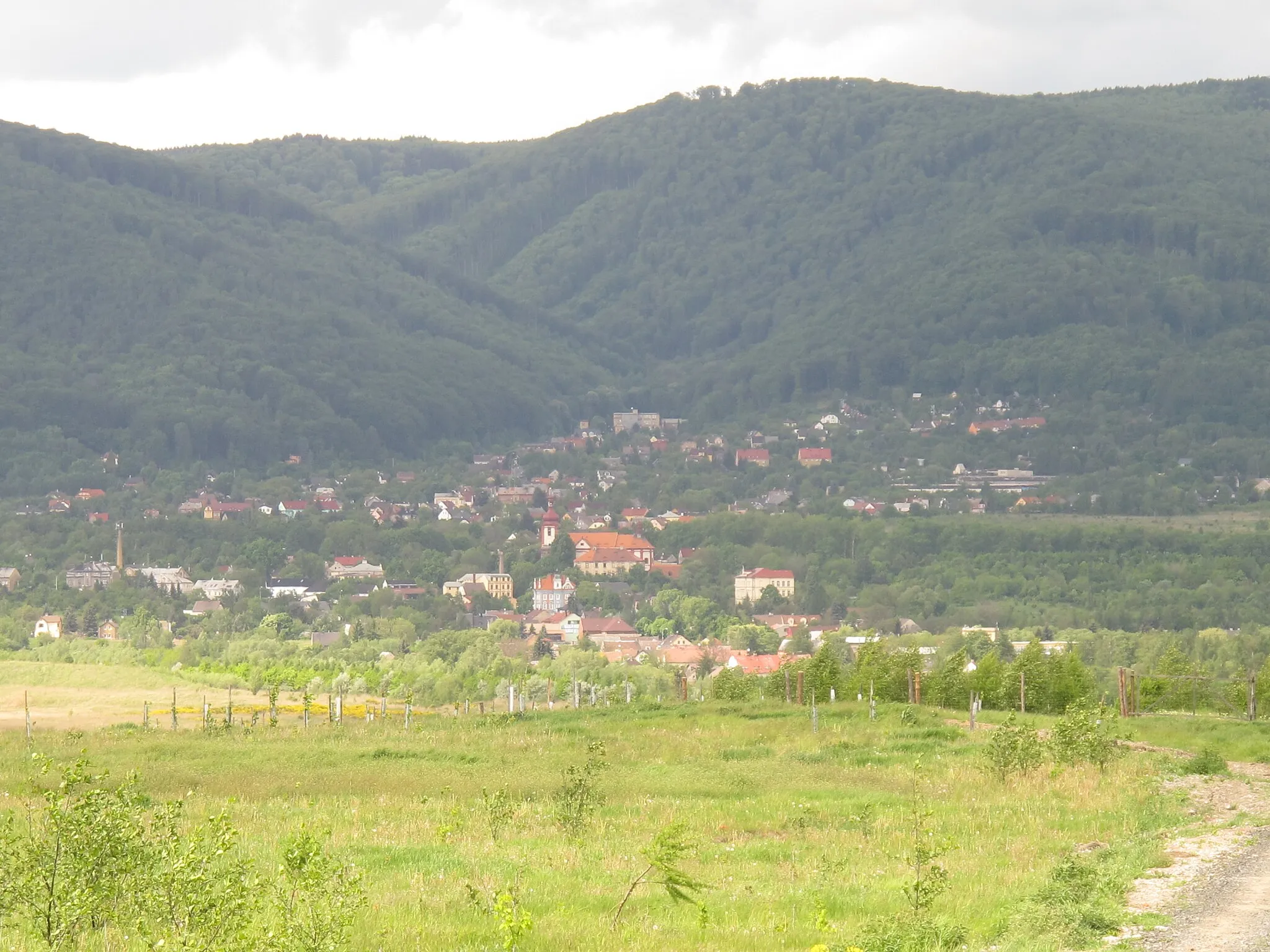
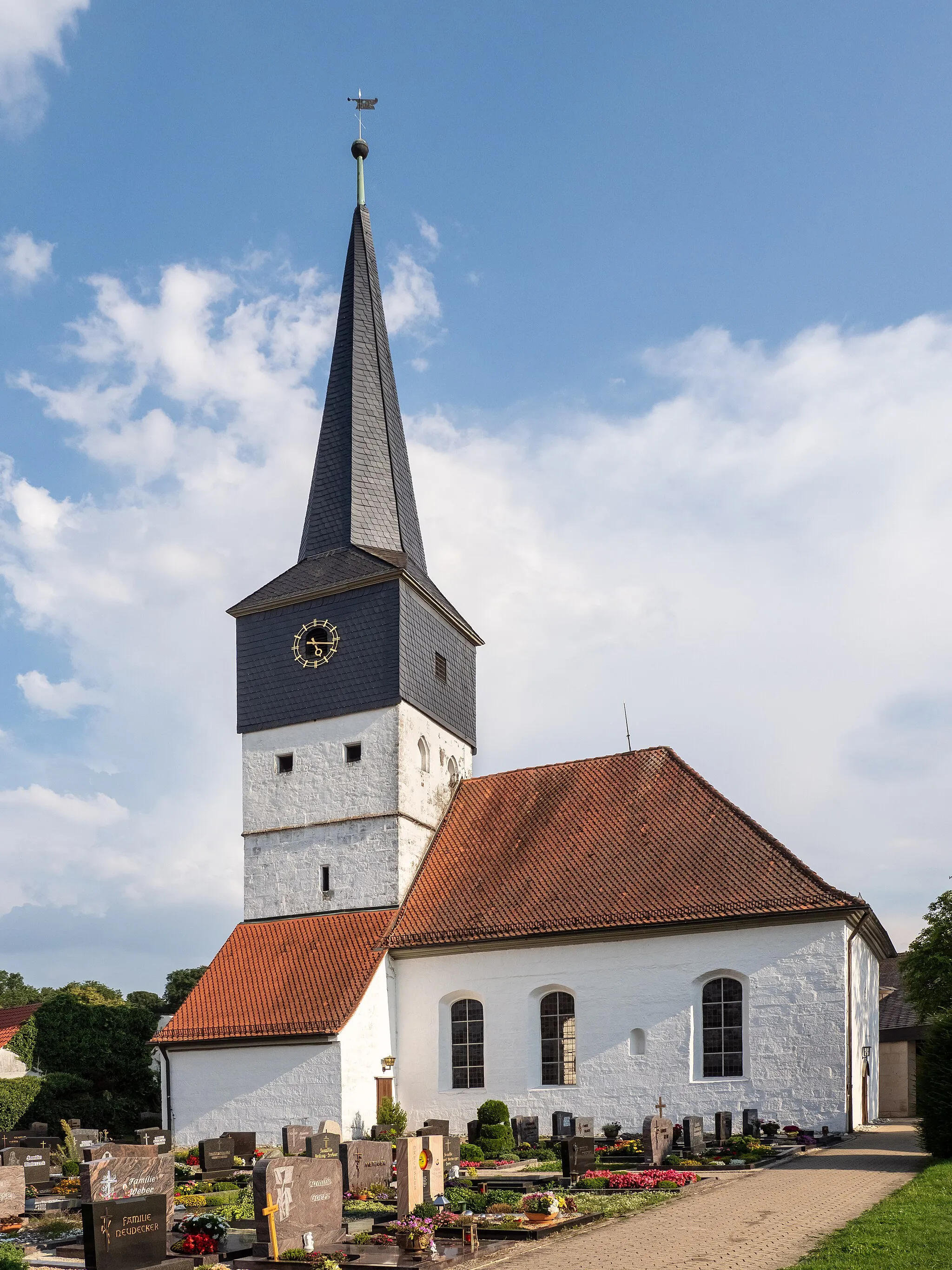
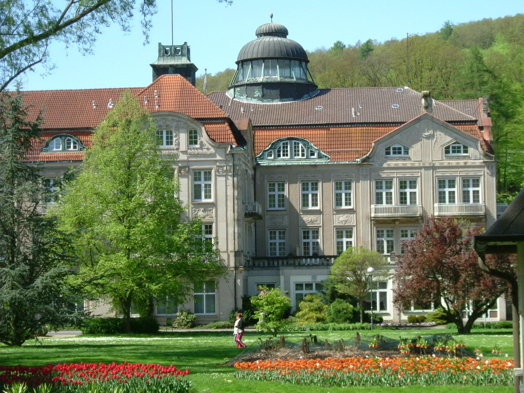
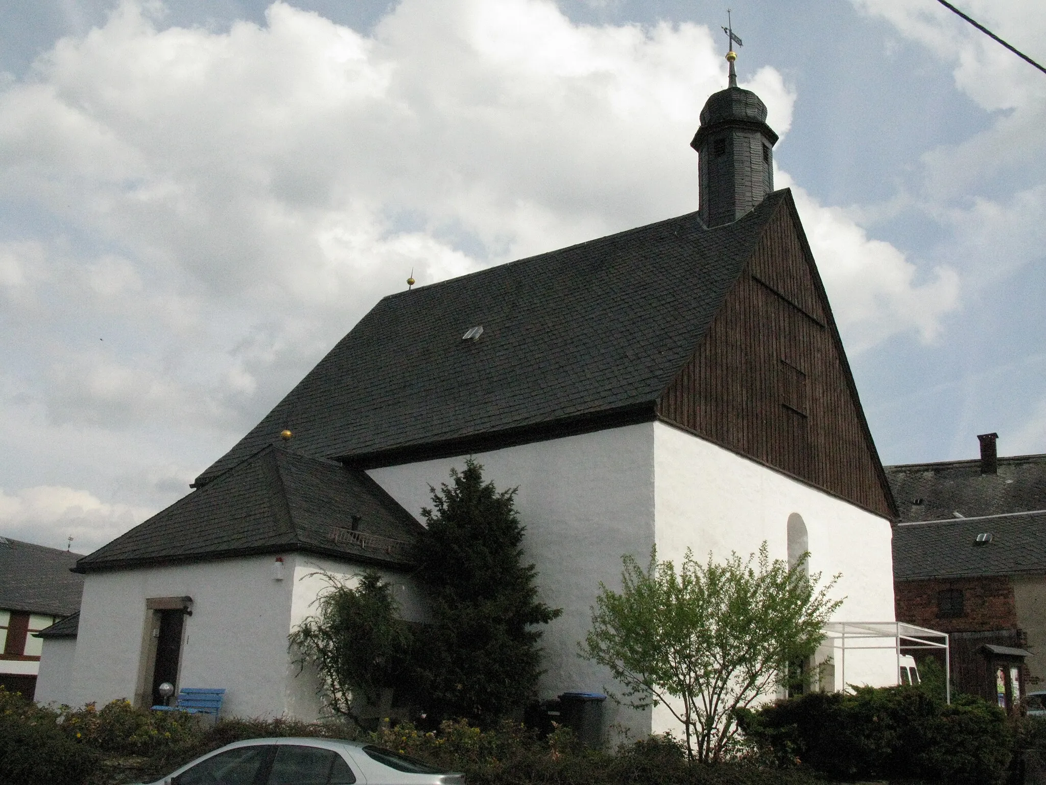
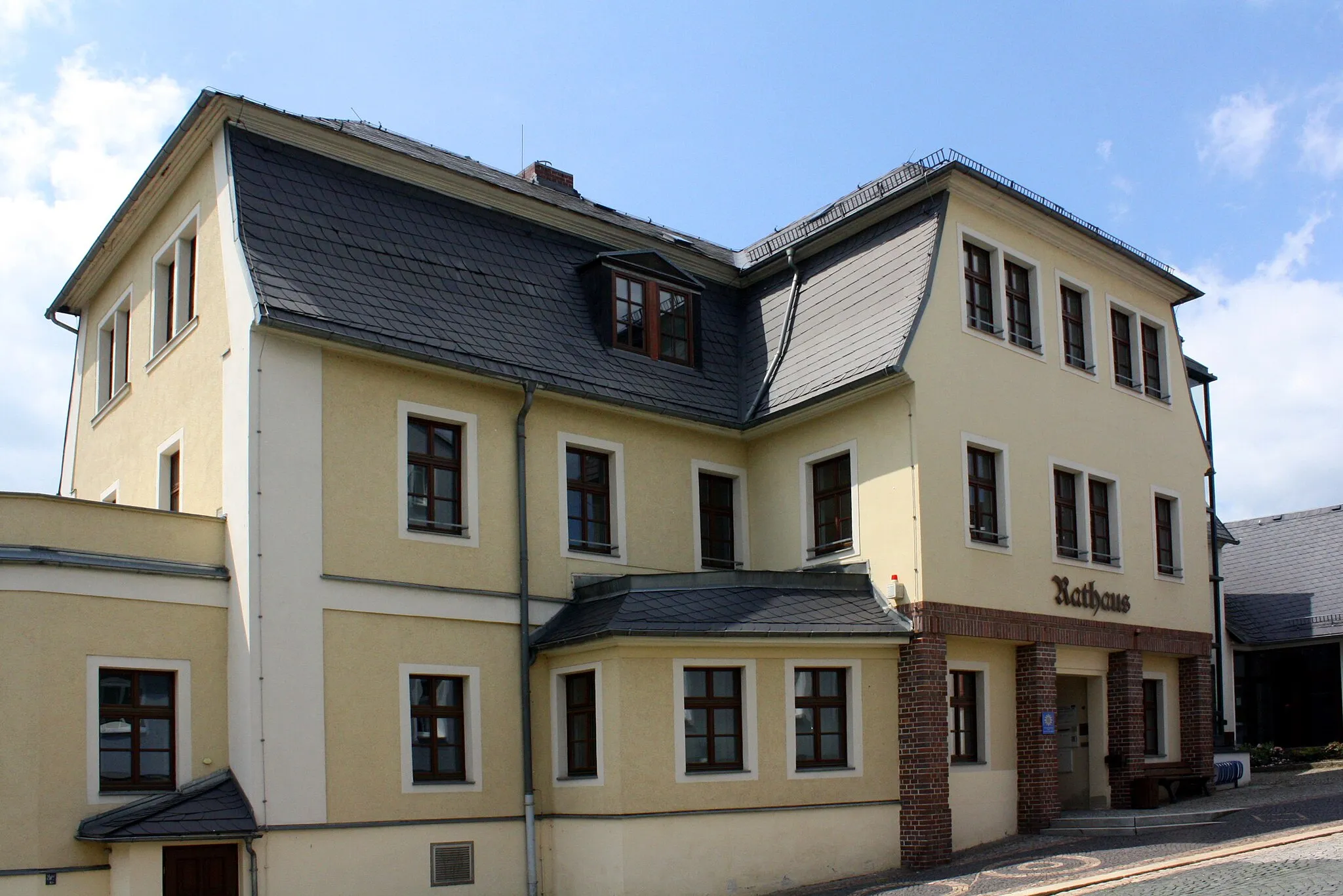
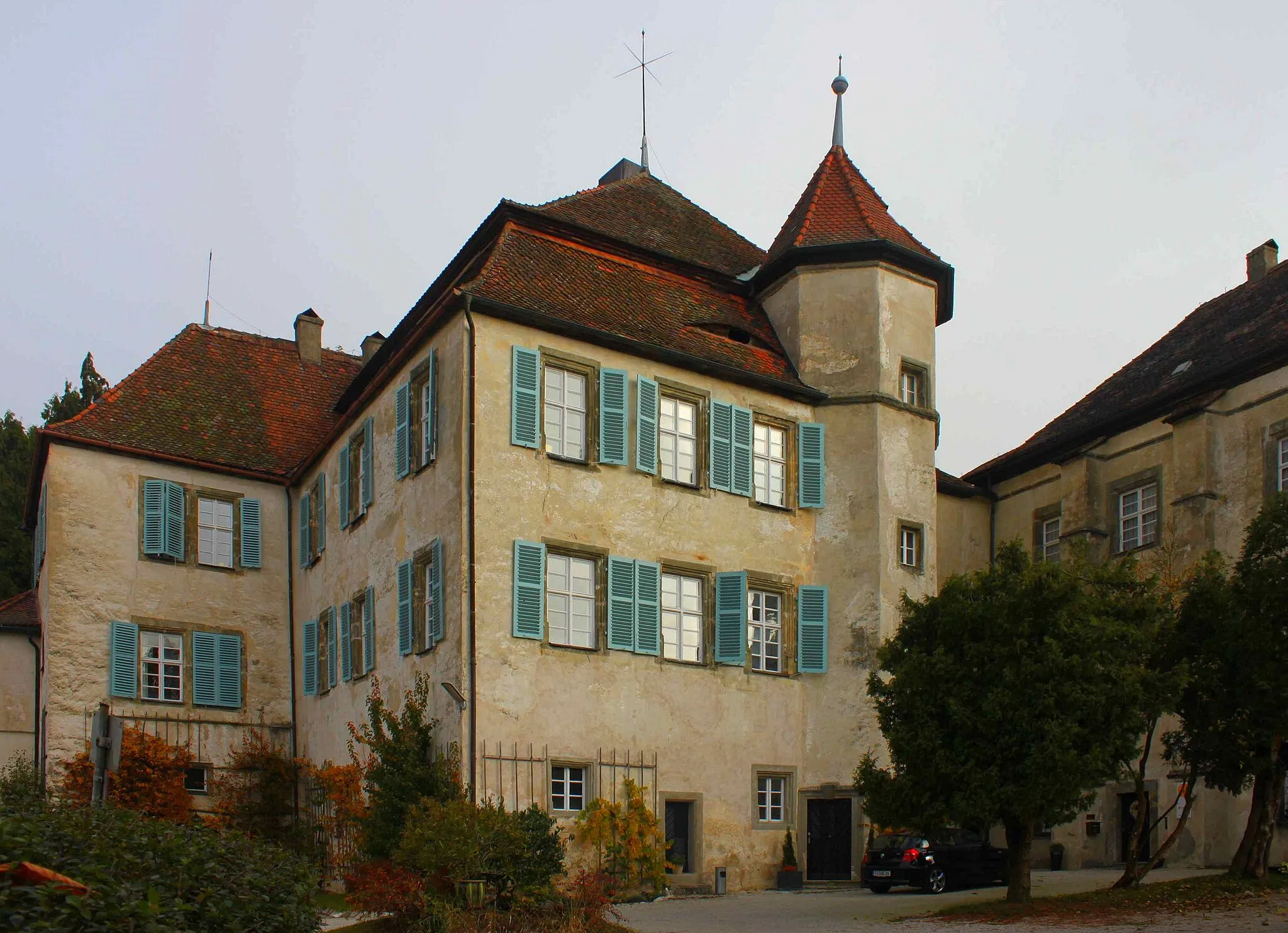
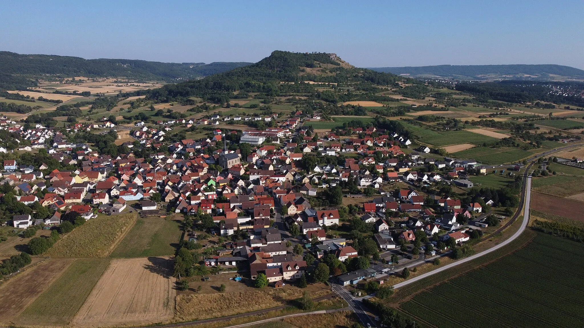
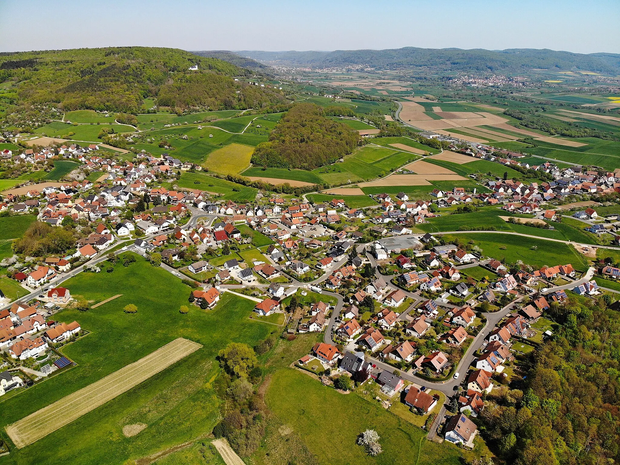
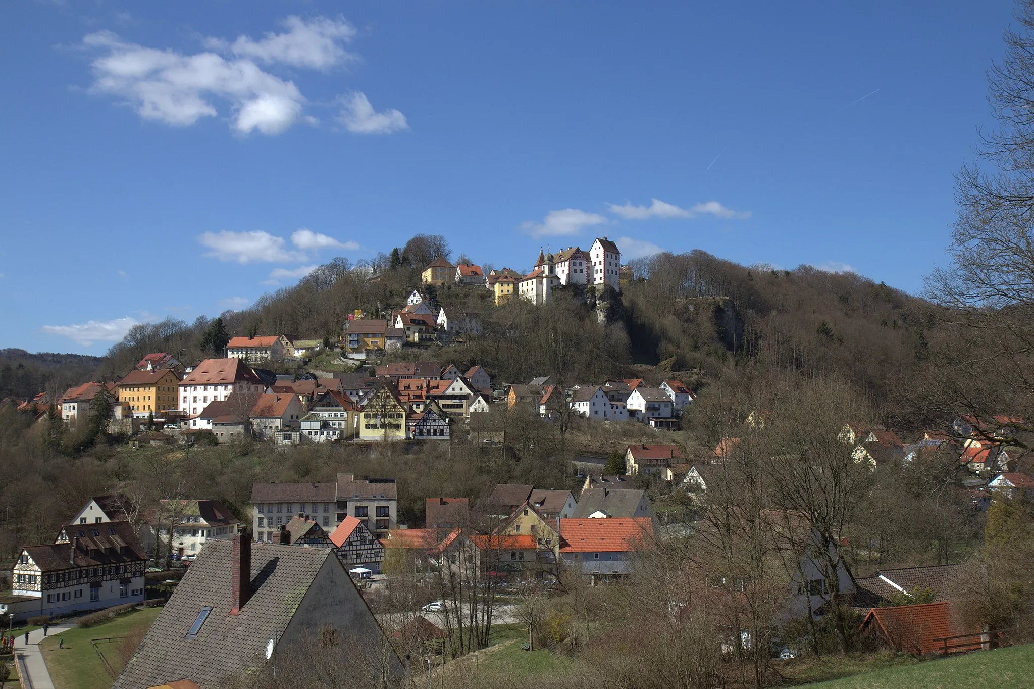
Pretzfeld, located in Oberfranken, Germany, offers a great cycling experience for road and gravel cyclists. The locality boasts beautiful rural landscapes and well-maintained roads, making it a paradise for cycling enthusiasts. Cyclists can enjoy long rides through picturesque countryside, passing by charming villages and vineyards. Additionally, there are several well-known climbs in the vicinity, providing opportunities for challenging ascents and thrilling descents. With its scenic beauty and cycling-friendly infrastructure, Pretzfeld is a must-visit destination for cyclists of all levels.
Pretzfeld Lindesberg Road Route

Embark on a captivating road cycling odyssey to Lindesberg on this exciting route near Pretzfeld
This road route near Pretzfeld takes cyclists on a thrilling adventure to the captivating village of Lindesberg and beyond. With a total distance of 44 kilometers and an ascent of 914 meters, this cycling experience offers a moderate challenge along with breathtaking scenery. Winding through enchanting landscapes and vibrant villages, this route promises a memorable journey for cyclists of all levels. Highlights along the way include the picturesque village of Götzendorf, the culturally rich Totenstein, and the scenic beauty of Birkenreuth. Cyclists can immerse themselves in the region's natural charm and discover treasures like Geiersberg, a renowned attraction. Overall, this road route showcases the best of the region's cultural and scenic highlights.

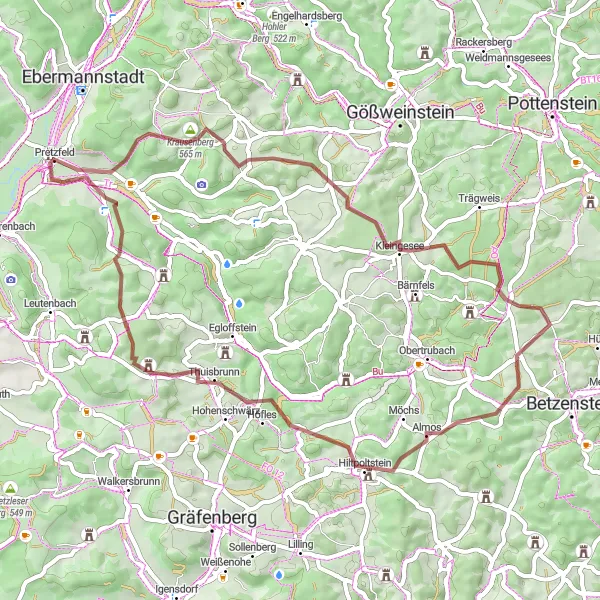
Discover the meeting point of the Pegnitz and Rednitz rivers on this scenic road route starting near Pretzfeld
Embark on a captivating road cycling journey that takes you through enchanting landscapes to the picturesque meeting point of the Pegnitz and Rednitz rivers. With a total distance of 93 kilometers and an ascent of 883 meters, this road route offers a moderate challenge along with breathtaking views. From the captivating Aussicht an den Kapuzinerfelsen viewpoint to exploring the historical village of Ermreuth, this route is filled with highlights that showcase the region's artistic beauty and cultural heritage. Discover the ancient Ziegelstein and witness the serene beauty of Wagnersberg. Immerse yourself in the captivating landscapes of Alterlangen and experience the authentic atmosphere of Kellerberg. As you approach Ehrlersheim, indulge in the charming streets and immerse yourself in the rich cultural history. Overall, this road route promises an unforgettable experience for cyclists seeking a blend of natural and cultural beauty.
Gravel Adventure
Embark on an exciting gravel adventure near Pretzfeld, tackling challenging terrain and enjoying scenic spots along the way.
Get off the beaten path and experience the thrill of gravel cycling with this route near Pretzfeld. With an elevation gain of 1555 meters and covering a distance of 84 kilometers, this challenging route is suitable for experienced and well-equipped cyclists. Prepare to conquer steep ascents and technical sections, while being rewarded with sweeping views and picturesque landscapes.
Pretzfeld Igensdorf Gravel Route
Unleash your adventurous spirit on this thrilling gravel route from Pretzfeld to Igensdorf
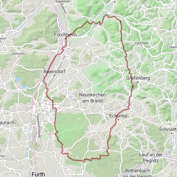
Experience the thrill of gravel cycling on this exciting route from Pretzfeld to Igensdorf. With a distance of 87 kilometers and an ascent of 925 meters, this challenging gravel adventure promises an exhilarating ride with stunning scenery. Highlights along the way include the tranquil Rabenberg, the historic charm of Burgstein, and the breathtaking views from Haidberg. As you cycle through the picturesque landscapes of Grossgeschaidt and Bubenreuth, you'll discover the beauty of the region's hidden treasures. The route also offers the opportunity to explore famous landmarks such as Das Kreuz bei den Kreuzäckern and Turmberg. Overall, this gravel route is perfect for adventure seekers looking for a balance of natural beauty and cultural heritage.
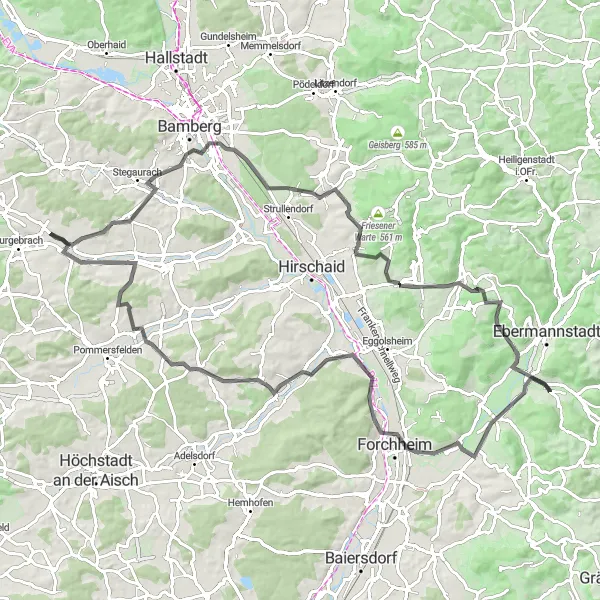
Explore the scenic Franconian countryside on this challenging road cycling route.
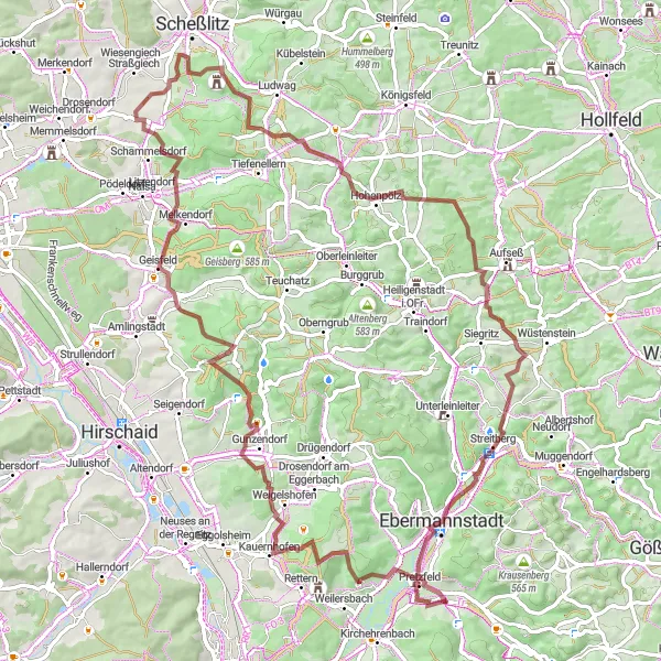
The Franconian Hills Loop is a challenging road cycling route that takes you through the beautiful countryside surrounding Pretzfeld in Oberfranken, Germany. The route offers stunning views of rolling hills, picturesque villages, and lush meadows. It is perfect for experienced cyclists looking for a challenging ride with breathtaking scenery. The route covers a distance of 147 kilometers and includes an ascent of 2252 meters. Along the way, you will encounter several highlights that are worth stopping for, including Rothenbühl, Schönblick, and Hainbach. These highlights offer magnificent views and provide a great opportunity to take a break and enjoy the surroundings. Overall, the Franconian Hills Loop is a must-do for cycling enthusiasts who are looking for a challenging and rewarding adventure in the Franconian countryside.
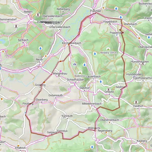
Castle Tour

Embark on a journey back in time, exploring historic castles and majestic landscapes on this gravel cycling route near Pretzfeld.
This gravel cycling route near Pretzfeld takes you on a historical tour, passing by majestic castles and embracing the rich cultural heritage of the region. With a total ascent of 1311 meters and covering a distance of 69 kilometers, this route offers a challenging adventure for experienced gravel cyclists. Immerse yourself in a captivating journey through time as you ride through stunning countryside landscapes and admire magnificent castle architecture.
Explore the scenic Almersberg on this challenging gravel route near Pretzfeld
This gravel route near Pretzfeld takes you on a challenging adventure through scenic landscapes. With a total ascent of 1094 meters and a distance of 52 kilometers, it offers a thrilling and physically demanding ride. The route passes through highlights such as the picturesque Hartenreuth and the historical Bleistein. Overall, this route is perfect for gravel enthusiasts looking for a challenging and rewarding cycling experience.
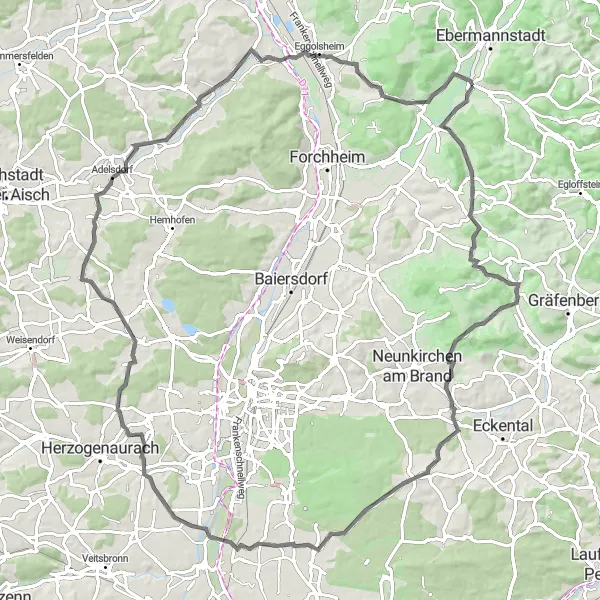
Buckenhofen and Beyond
Explore the countryside surrounding Pretzfeld on this road cycling route that takes you through picturesque villages and offers stunning views.
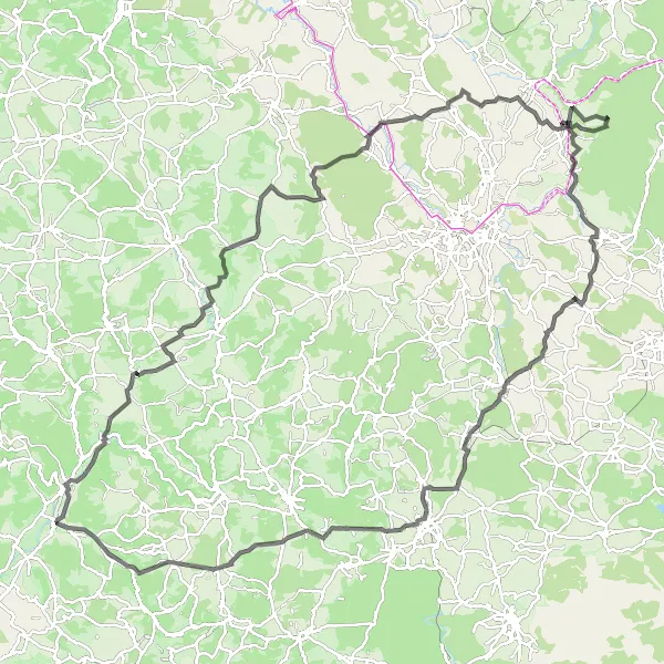
This road cycling route near Pretzfeld takes you through the charming villages of Buckenhofen, Kreuzberg, Unterneuses, Amlingstadt, Lindesberg, and Hagenbach. Throughout your ride, you'll be rewarded with beautiful countryside scenery and delightful cycling paths. With a moderate ascent of 824 meters and a distance of 95 kilometers, this route is suitable for well-trained amateurs.
Explore the untouched nature and enjoy a thrilling off-road adventure on this gravel cycling route starting near Pretzfeld.
For a short but exhilarating off-road adventure, hop on your gravel bike and discover the scenic Rabenberg and its surroundings. This 32-kilometer route features a moderate ascent of 566 meters, making it ideal for beginners and cyclists seeking fast-paced fun. Prepare to conquer challenging terrain and be rewarded with unmatched serenity in the heart of nature.
Experience the captivating beauty of Leutenbach on this impressive road route near Pretzfeld
Embark on an exceptional road cycling journey through picturesque landscapes and unravel the enchantment of Leutenbach. This road route near Pretzfeld covers a total distance of 99 kilometers with an ascent of 941 meters. With its scenic beauty and moderate difficulty level, this route is perfect for well-trained amateur cyclists seeking unforgettable experiences. From the captivating Kapuzinerfelsen viewpoint to the charming village of Ermreuth, this route is brimming with mesmerizing highlights that offer glimpses of cultural heritage and natural wonders. Overall, this road route guarantees a memorable adventure for cyclists of all skill levels.
Cycling routes nearby:

Nearby regions: