Mountainous Challenge
A road cycling route starting from Steinwiesen
Conquer challenging mountainous terrains on this 126 km road cycling route.
Map
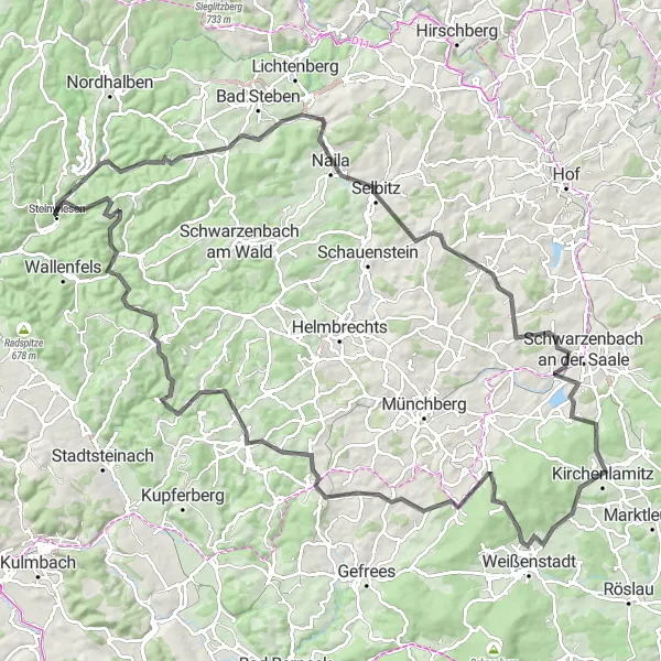
Get ready for an ultimate mountainous challenge starting from Steinwiesen. This 126 km route is not for the faint-hearted, with a total ascent of 2248m and exhilarating climbs at Geroldsgrün, Schiedarangen, Großer Waldstein, and Zell. Navigate through breathtaking landscapes and picturesque towns as you conquer each ascent. With a difficulty rating of 5 and an epicness score of 4, this route is designed for experienced riders seeking an unforgettable high-intensity cycling experience.
road
126 km
2248 m
Savage
Route profile
Highlights on the route
0 km
0 km
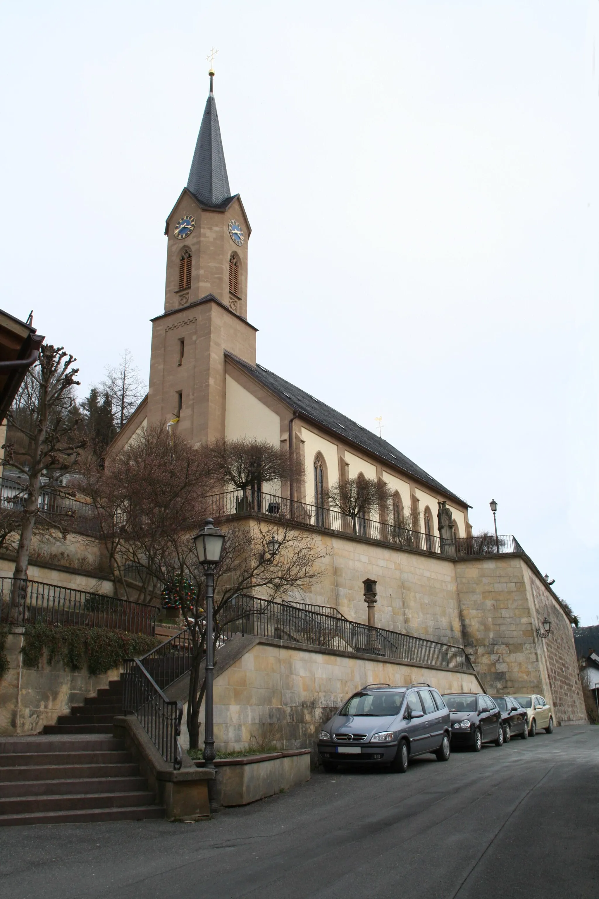
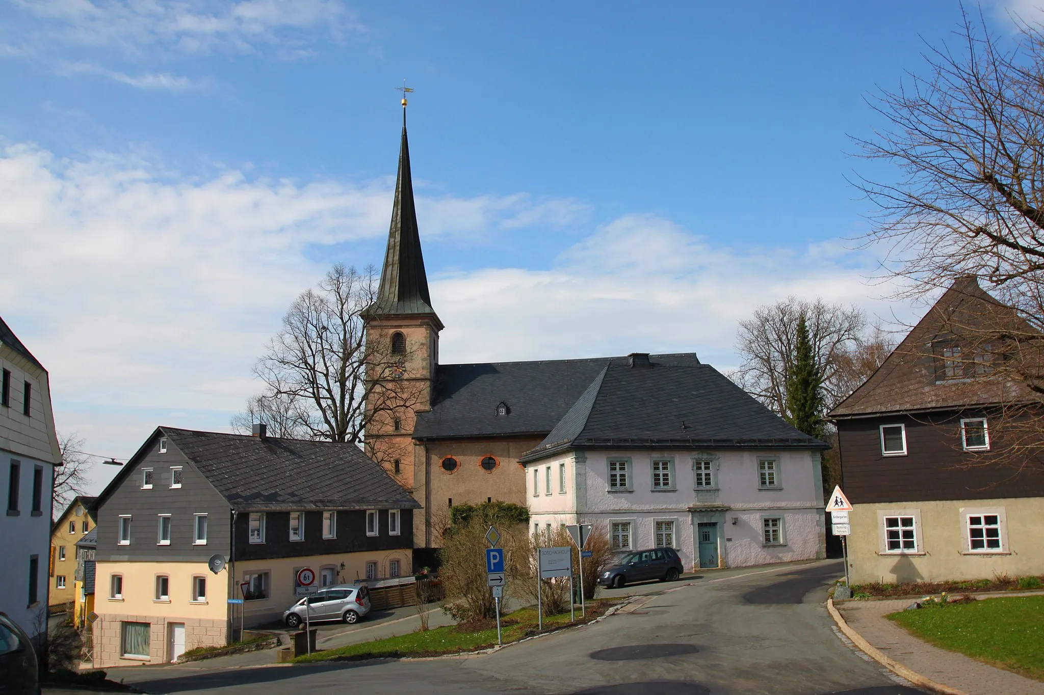
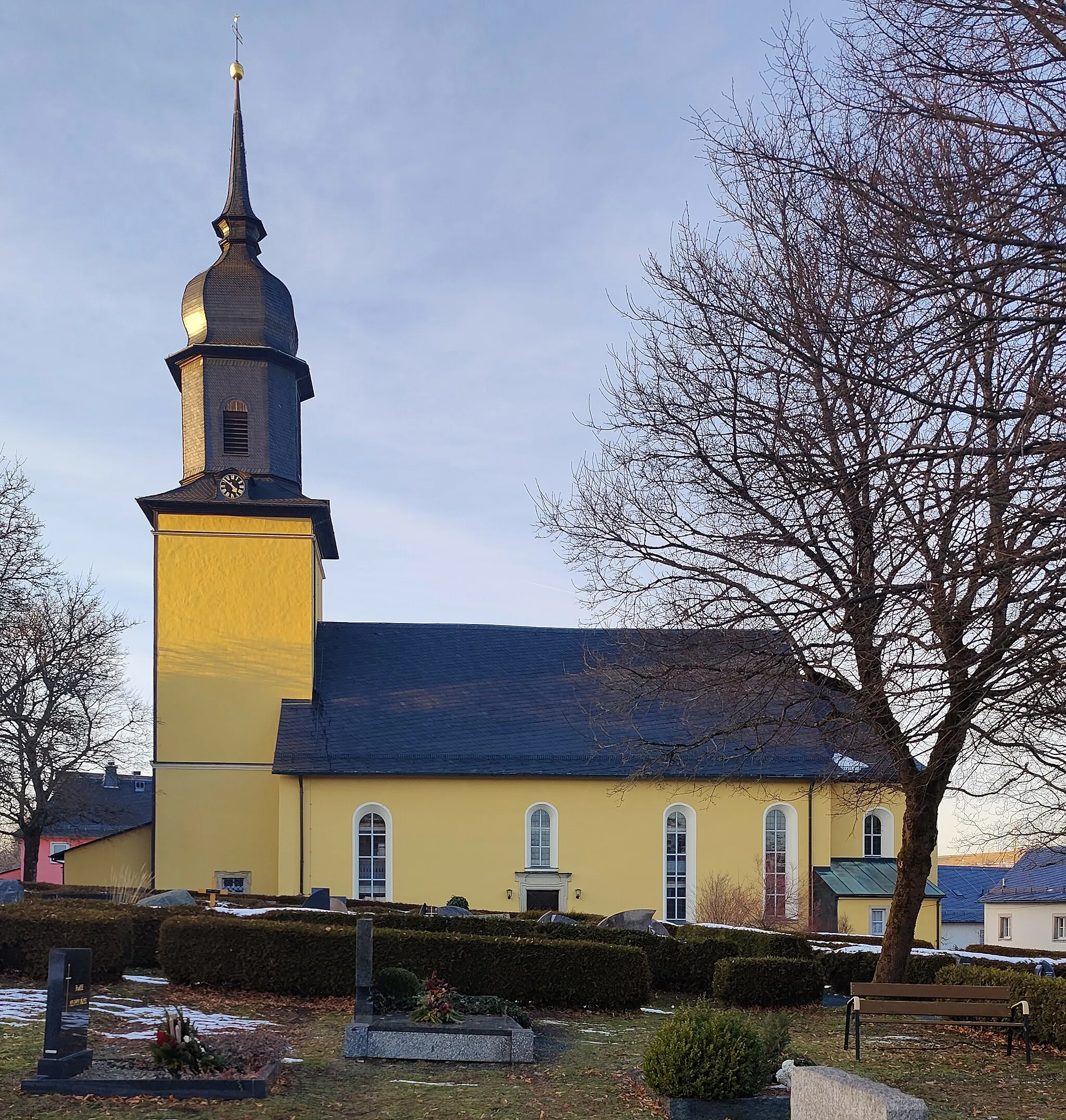
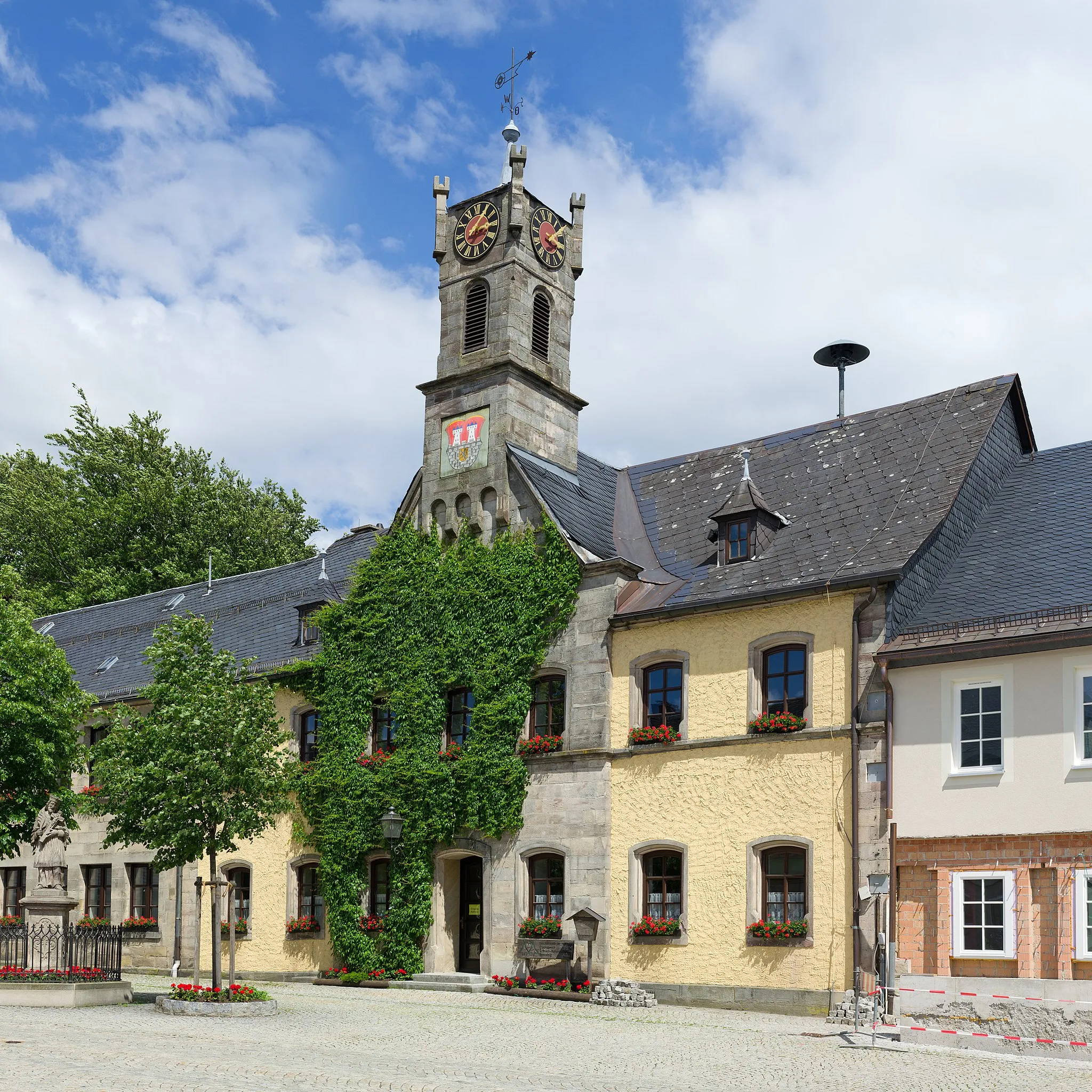
Start: Steinwiesen Village centerSteinwiesen: Road and gravel cycling in the scenic Oberfranken region of Germany.
Steinwiesen in Oberfranken, Germany, offers a mix of picturesque countryside and challenging climbs for cyclists. The locality is surrounded by scenic routes and well-maintained roads, making it ideal for road and gravel cycling. Cyclists can also explore the nearby Frankenwald, which offers stunning views and challenging climbs.12 km
12 km
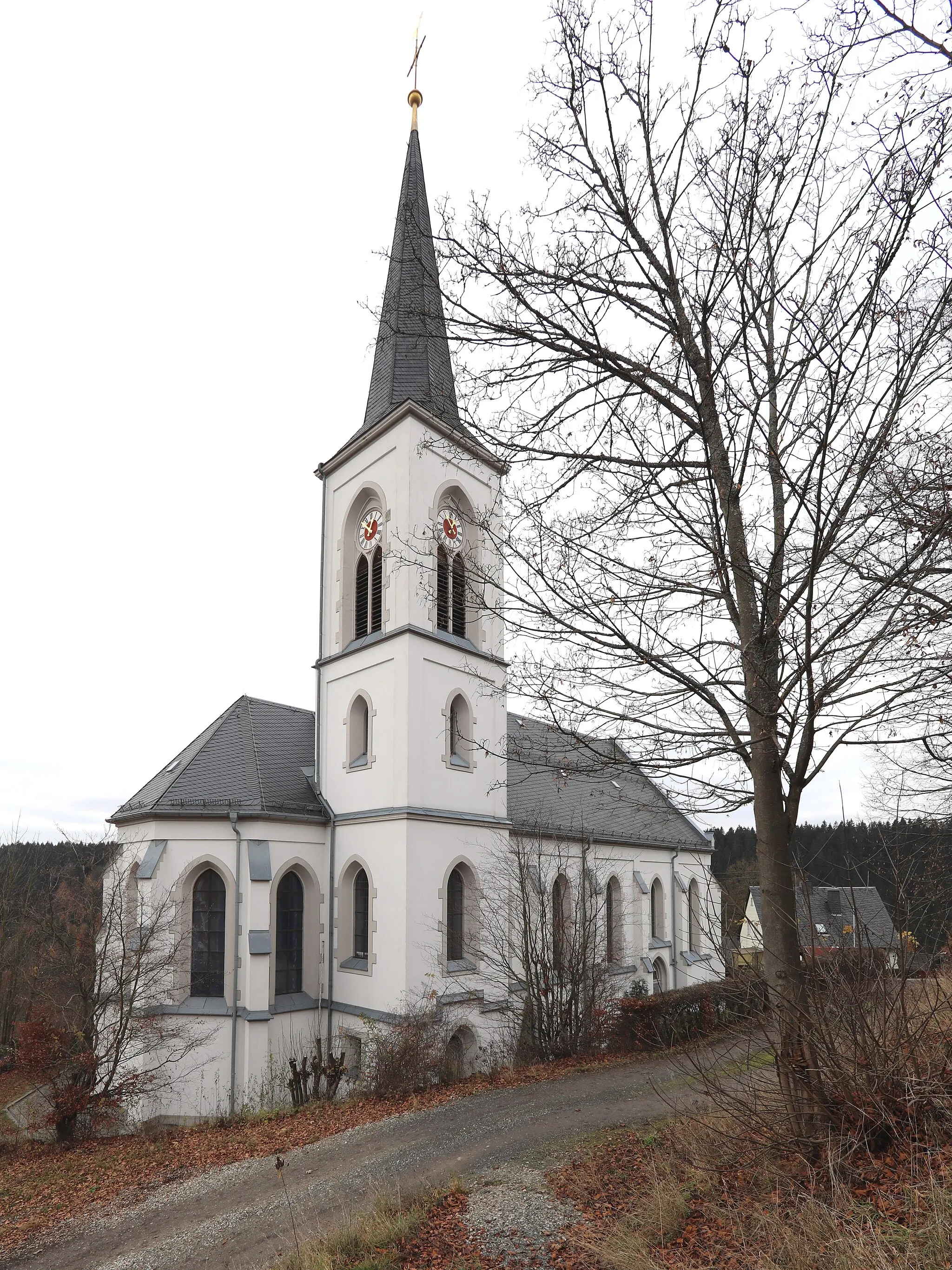
GeroldsgrünVillageGeroldsgrün, at 12 km, rewards you with stunning views of the surrounding mountains and sprawling green fields, offering a perfect backdrop for astounding photographs.
14 km
14 km
Gerlaser Höhe665 mPeakGerlaser Höhe, at 14 km, treats you to breathtaking panoramic views of the picturesque landscape, making it worth the climb.
24 km
24 km
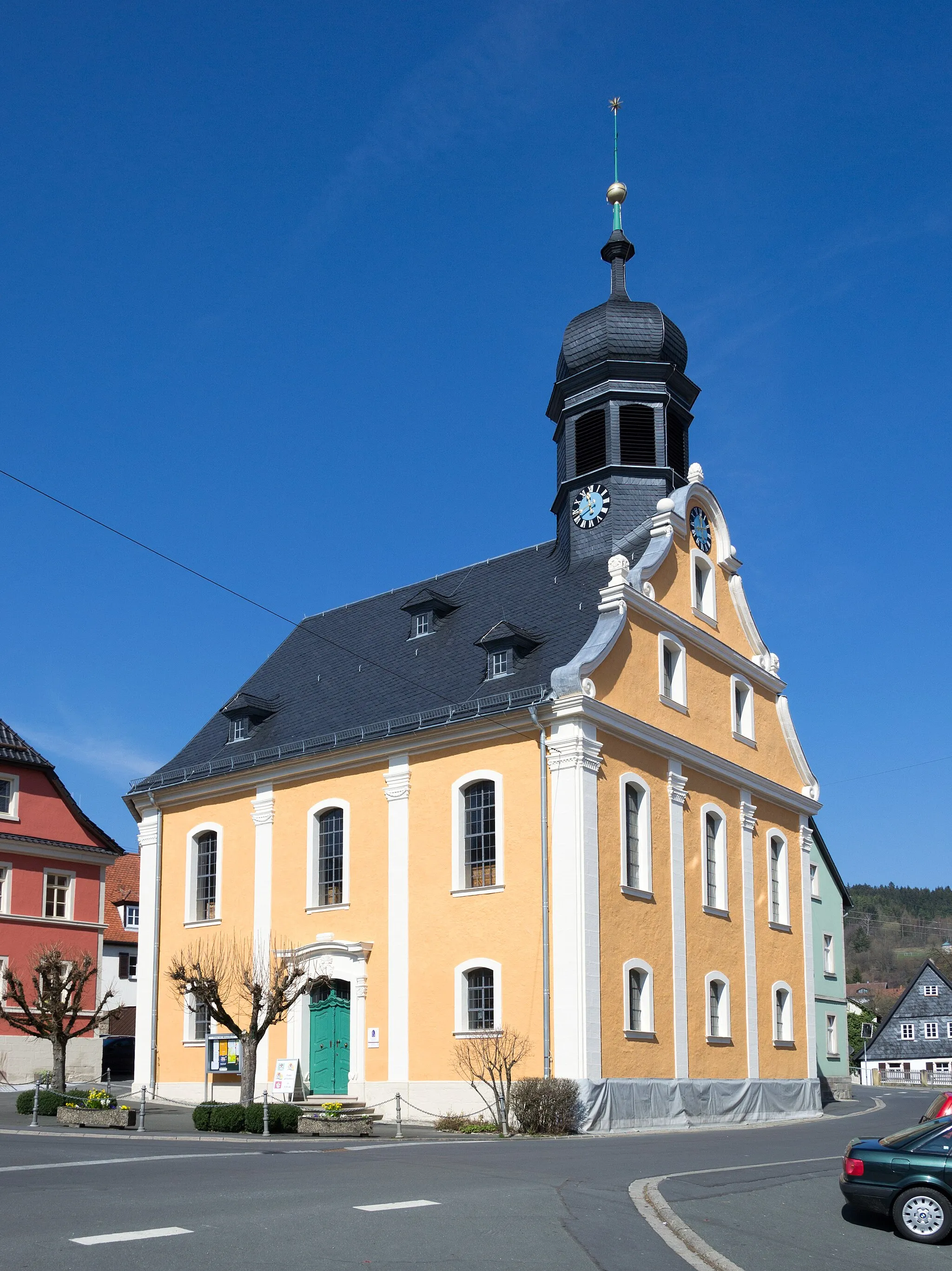
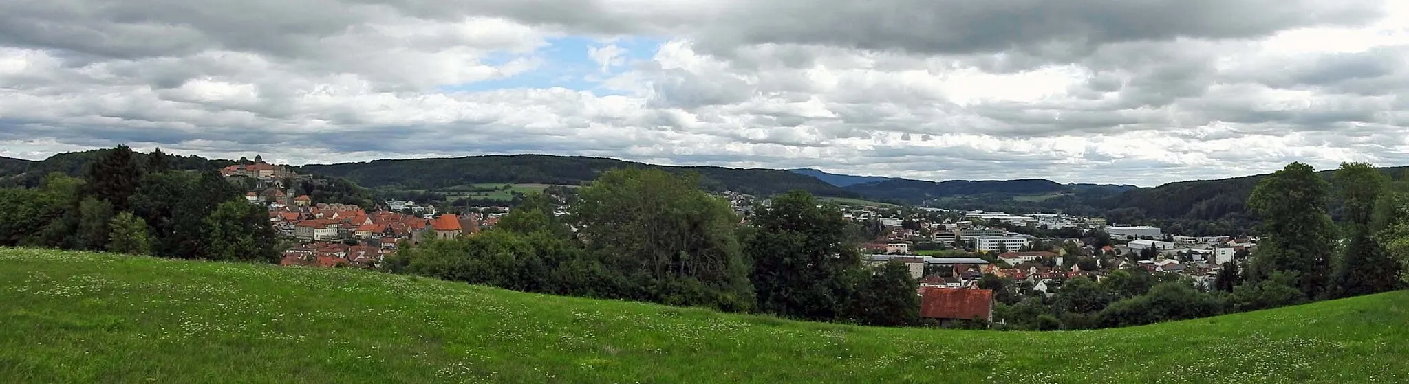
NailaTownAs you reach Naila at 24 km, take in the impressive beauty of this charming town nestled in the heart of lush nature, known for its rich cultural heritage.
38 km
38 km
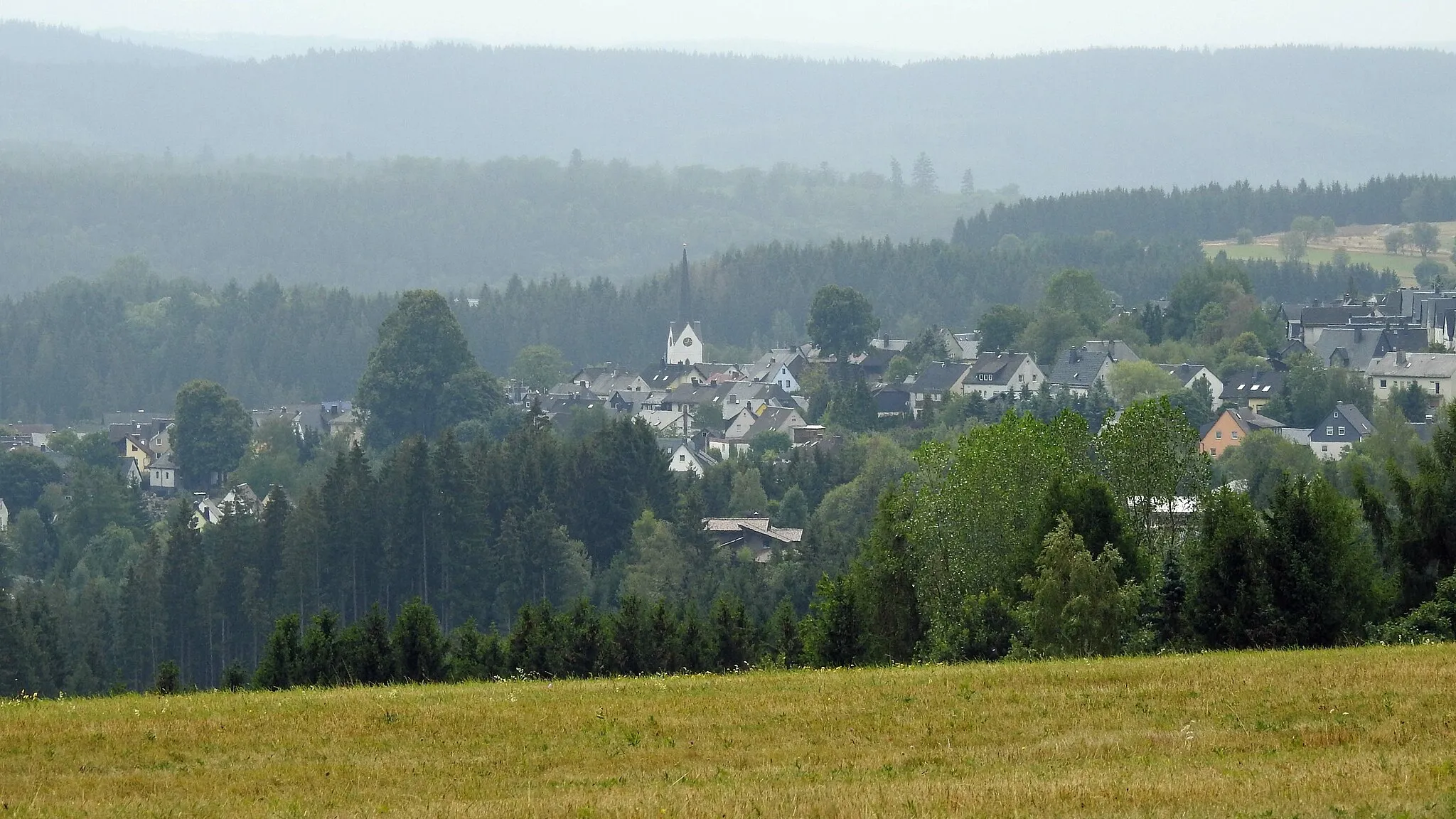
KonradsreuthVillageKonradsreuth, at 38 km, captivates with its verdant countryside, dotted with quaint farmhouses and idyllic hamlets.
43 km
43 km
Höferberg593 mPeakHöferberg, at 43 km, is renowned for offering breathtaking views of the Fichtel Mountains, presenting the ideal backdrop for moments of contemplation and rejuvenation.
56 km
56 km
Schiedarangen666 mPeakSchiedarangen, at 56 km, offers stunning landscapes, pristine natural beauty, and a well-preserved cultural heritage.
59 km
59 km
KirchenlamitzTownKirchenlamitz, at 59 km, is a charming town surrounded by undulating hills, lush forests, and picturesque lakes.
70 km
70 km
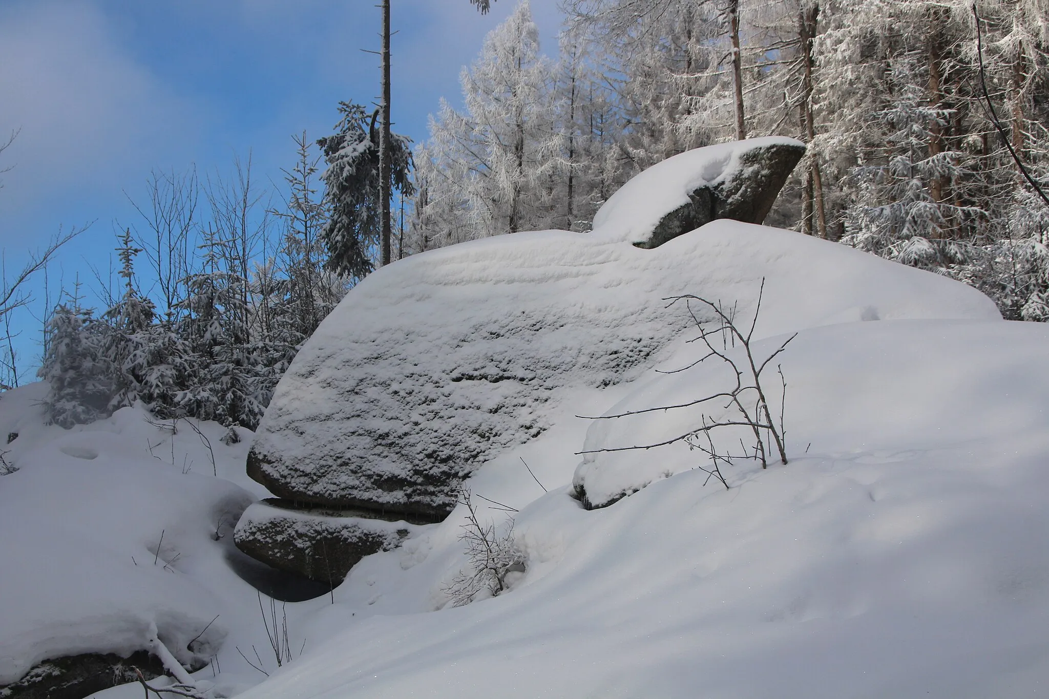
Großer Waldstein877 mPeakGroßer Waldstein, at 70 km, beckons with its rugged beauty, towering cliffs, and ancient ruins atop the mountain, rewarding you with unforgettable views.
76 km
76 km
ZellVillageZell, at 76 km, entices you with its peaceful countryside ambiance, characterized by rolling hills, lush vineyards, and charming traditional architecture.
86 km
86 km
Goppelshöhe616 mPeakGoppelshöhe, at 86 km, offers a challenging climb accompanied by breathtaking panoramic views of the surrounding picturesque landscapes.
86 km
86 km
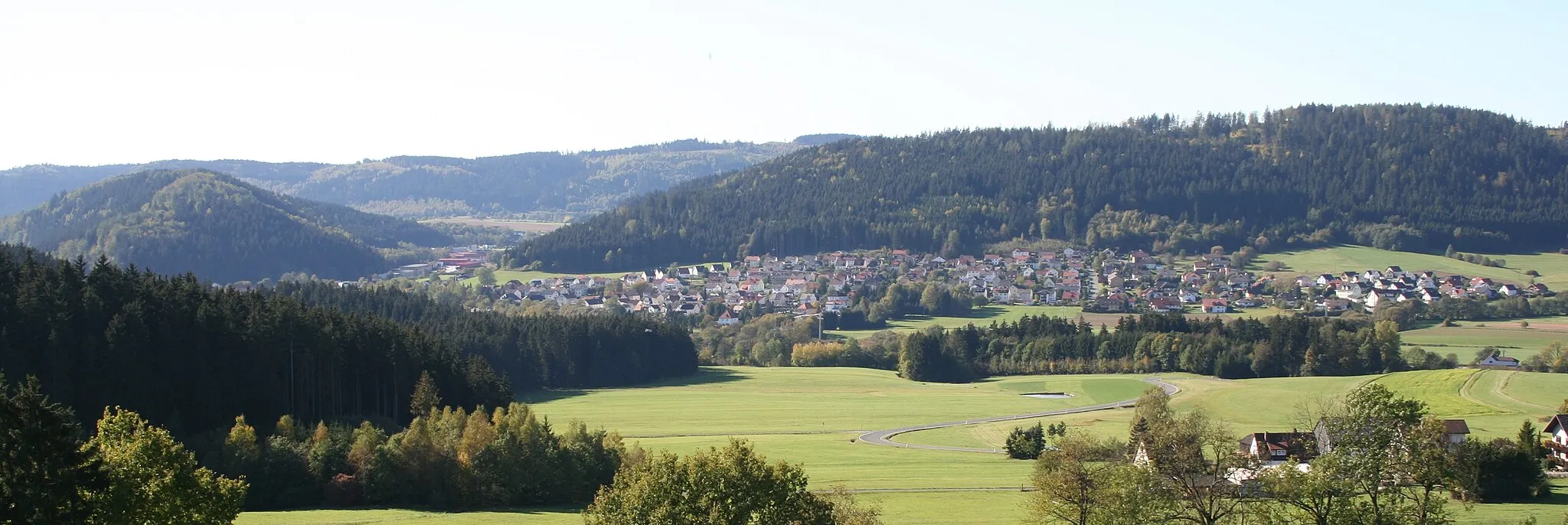
StammbachVillageStammbach, at 86 km, welcomes you with open arms to experience its unspoiled nature, tranquil atmosphere, and scenic beauty close to the Czech border.
107 km
107 km
PresseckVillageAt 107 km, Presseck invites you to indulge in the magical scenery of the Southern Haß Mountains, featuring idyllic meadows, thick forests, and enchanting charm.
121 km
121 km
SchlegelshaidVillageDiscover Schlegelshaid at 121 km, a hidden gem surrounded by hills and forests, promising tranquility and undisturbed natural beauty.
126 km
126 km
Finish: Steinwiesen Village centerSteinwiesen: Road and gravel cycling in the scenic Oberfranken region of Germany.
Cycling routes from Steinwiesen:
Cycling routes nearby: