Nature's paradise with extensive cycling options in Oberfranken.
Cycling routes from Trebgast
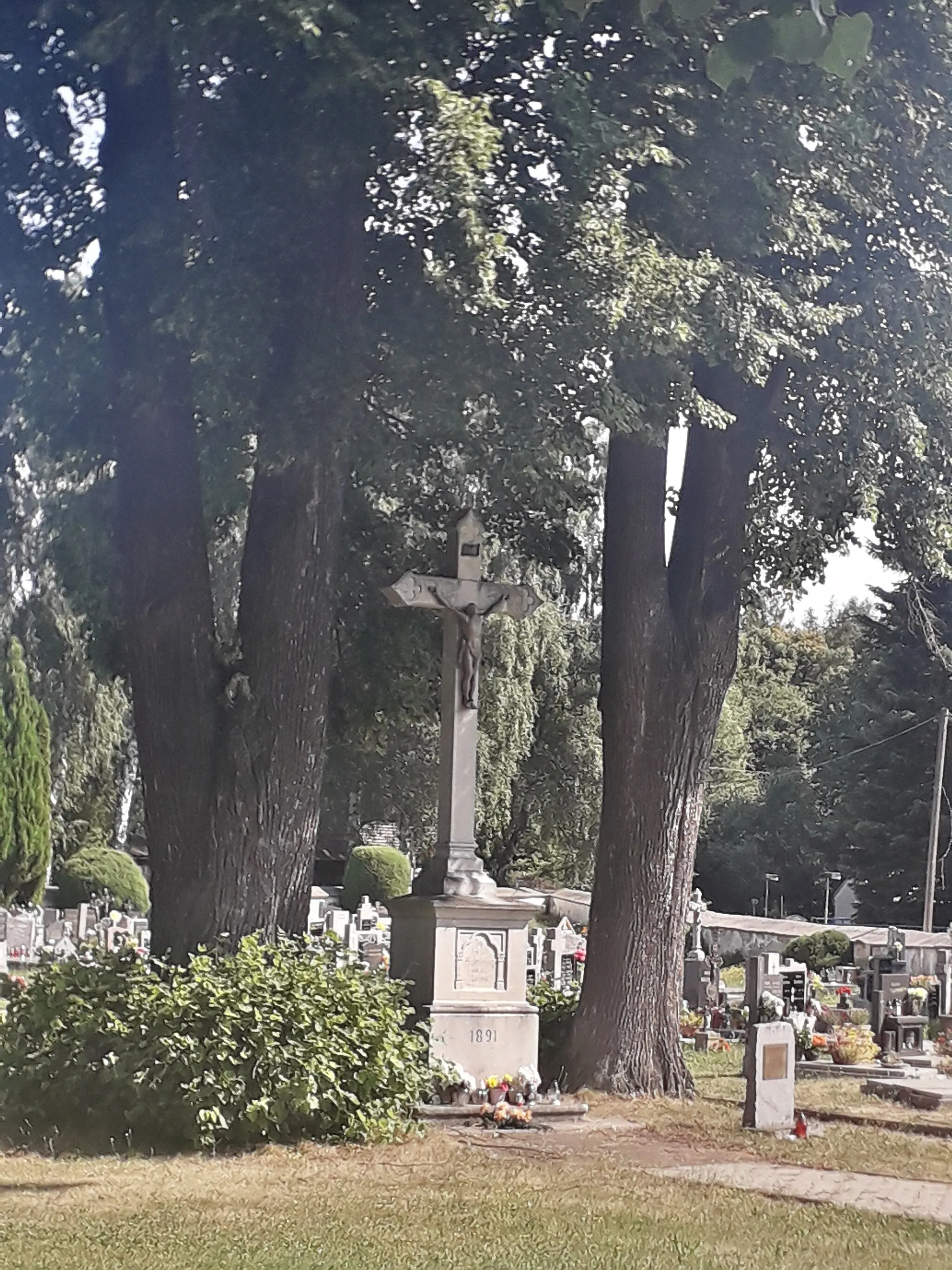
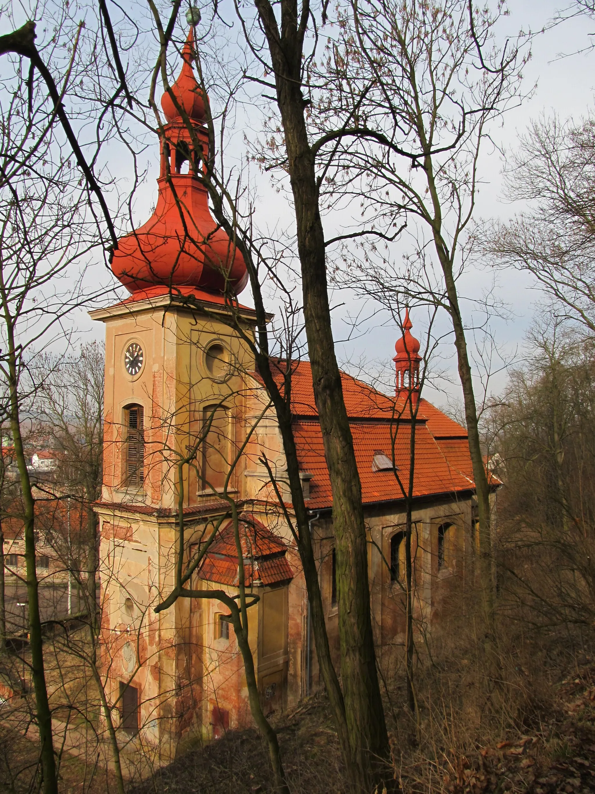
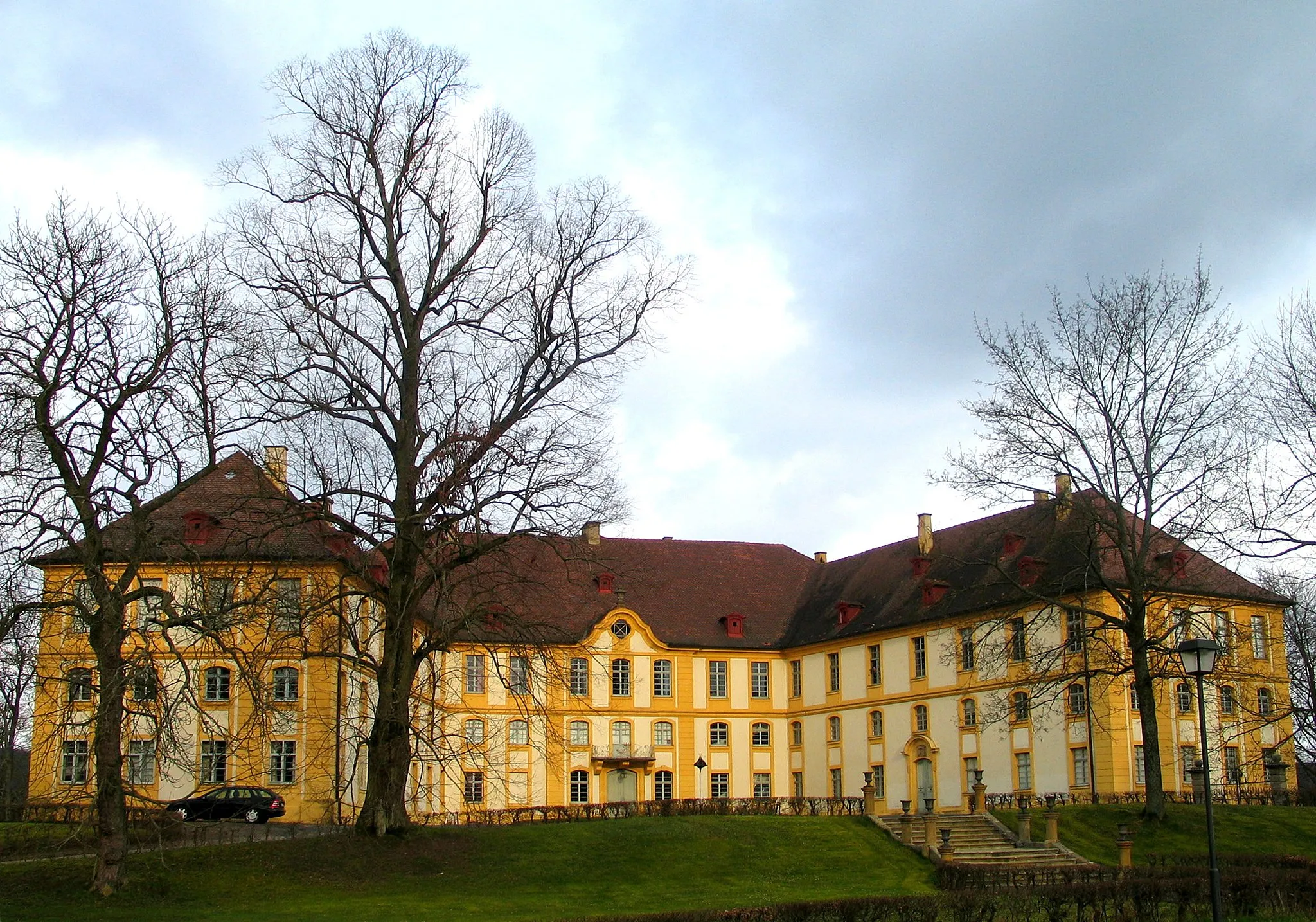
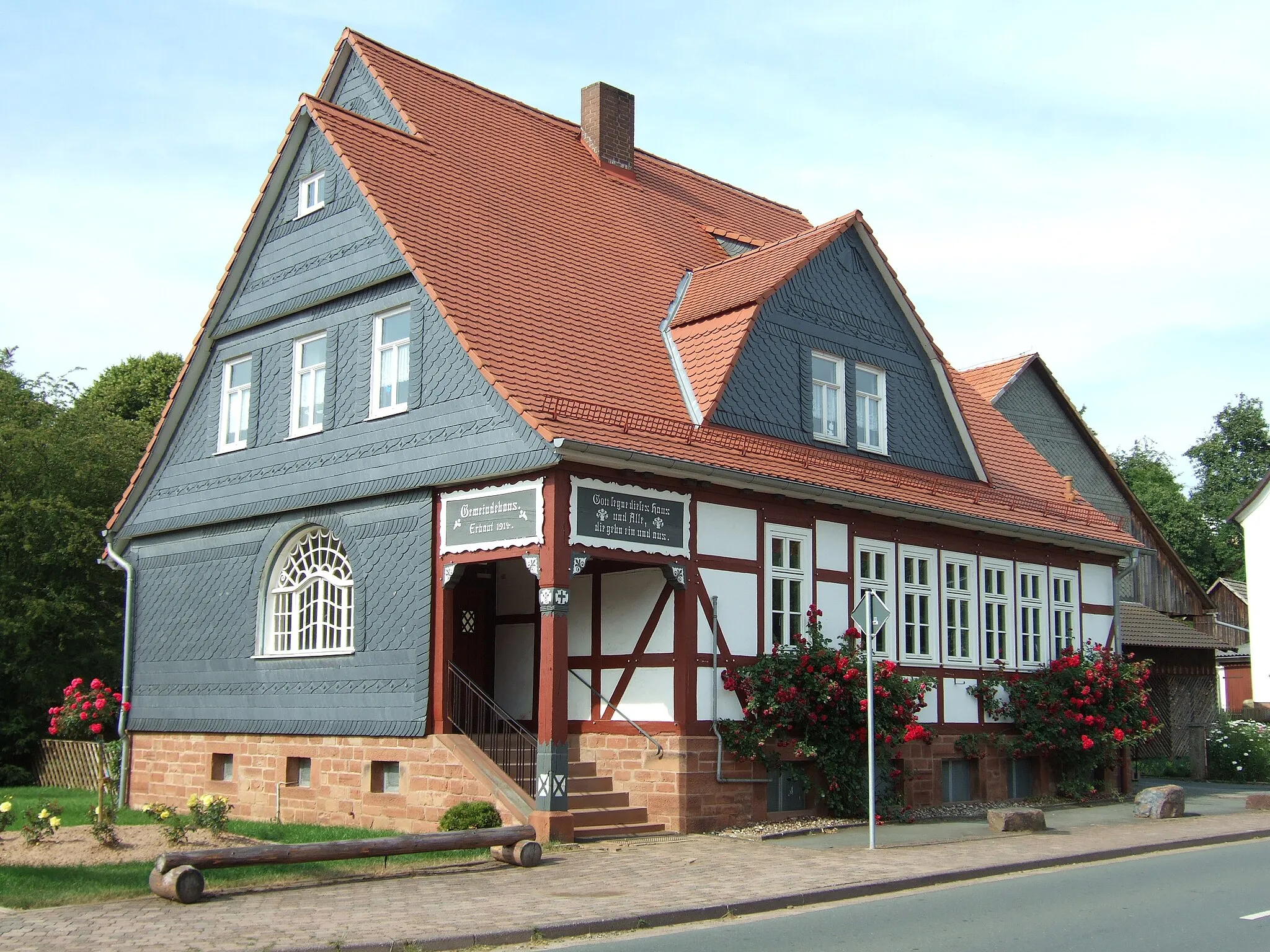
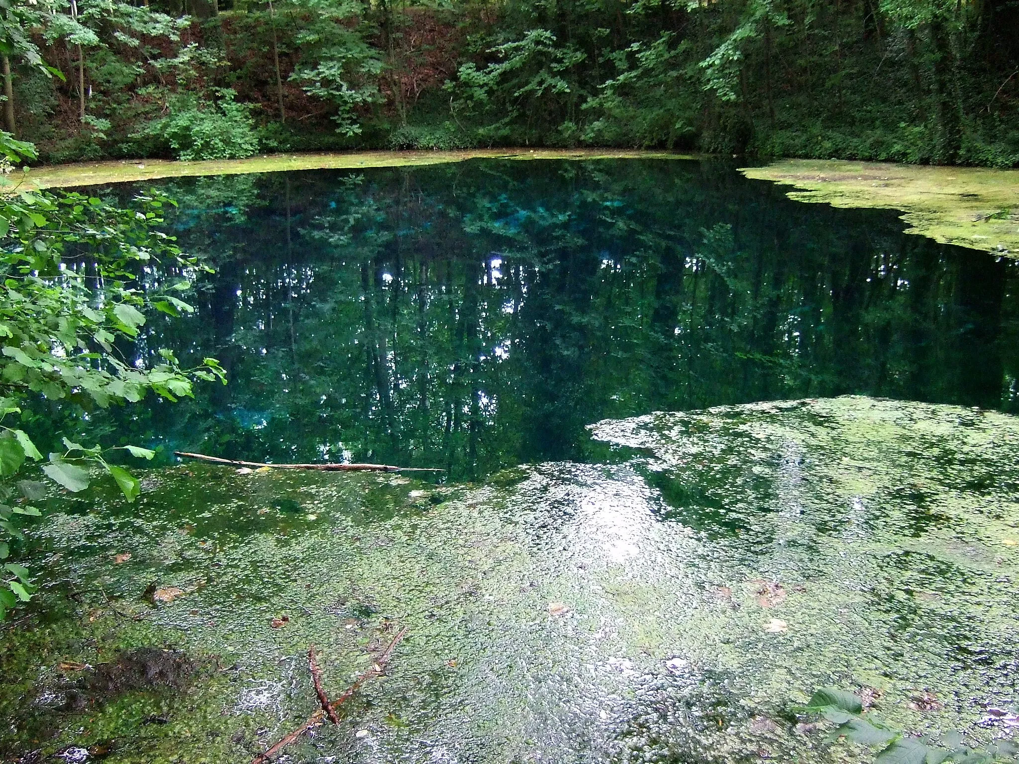
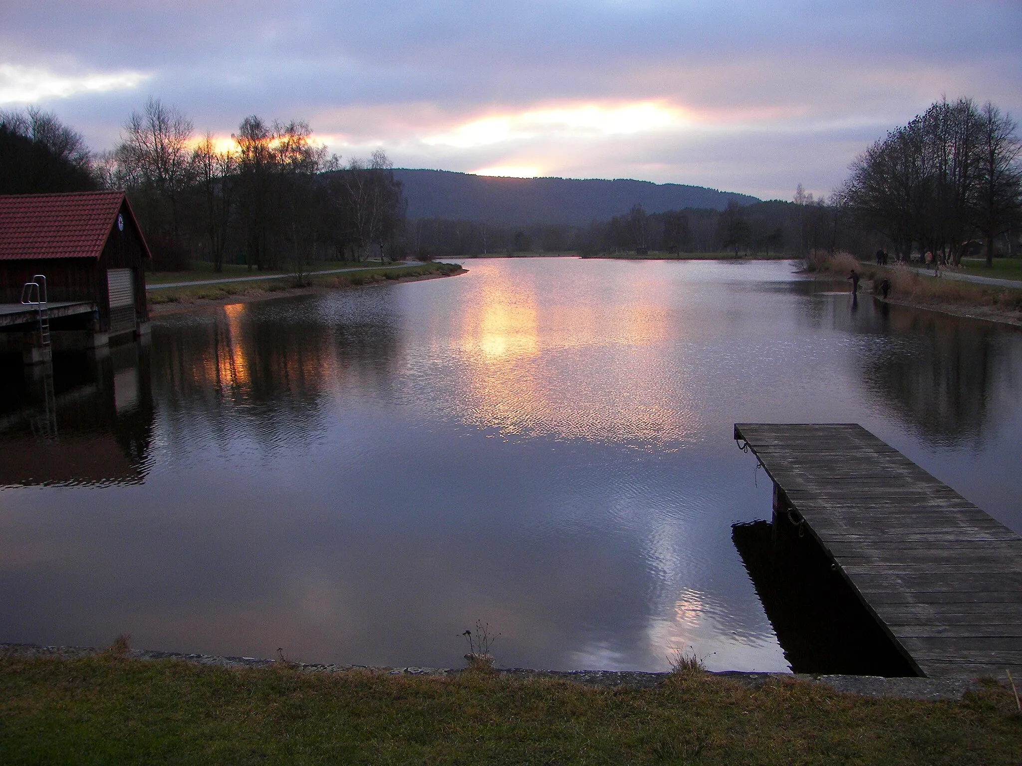
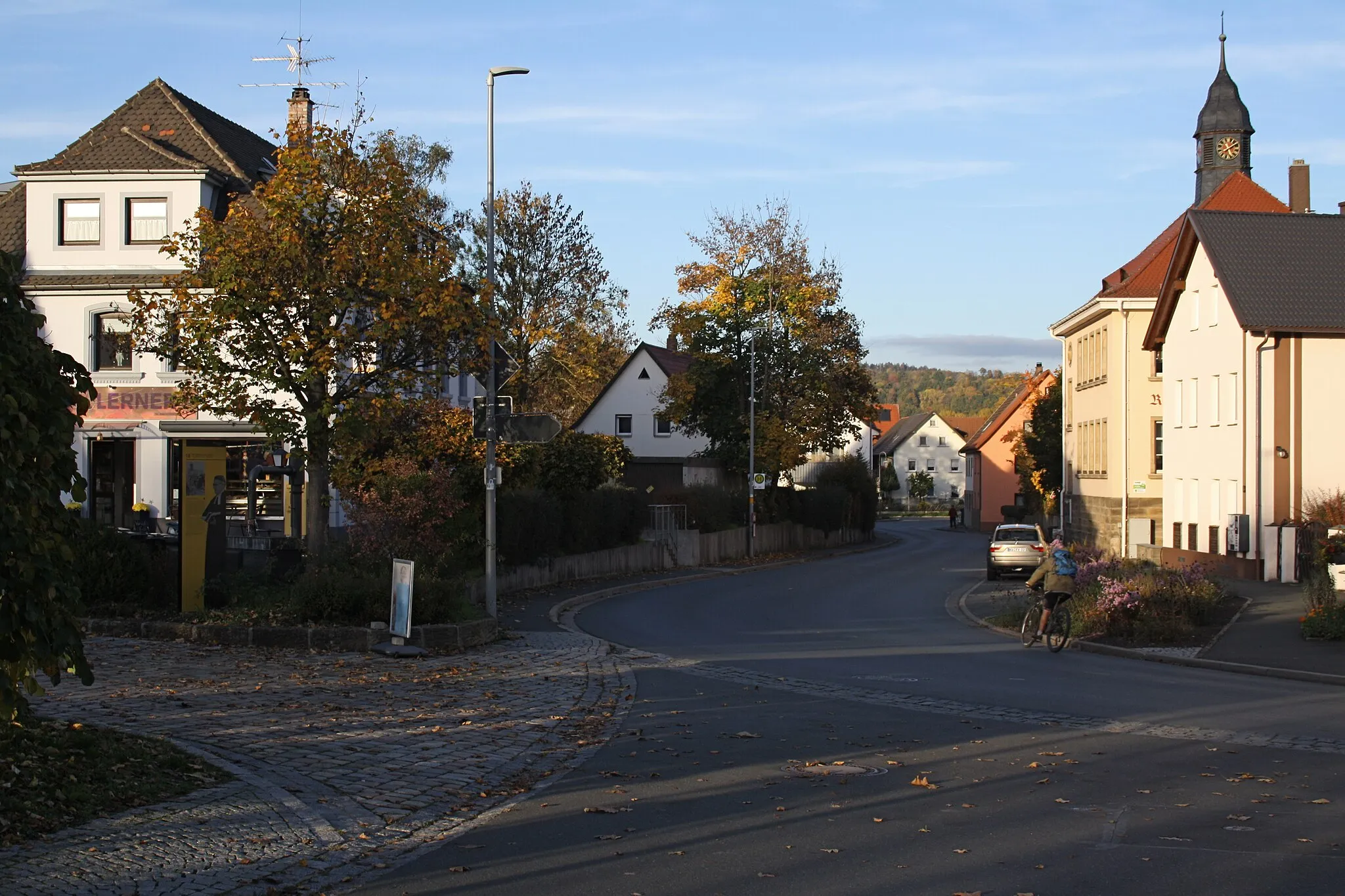
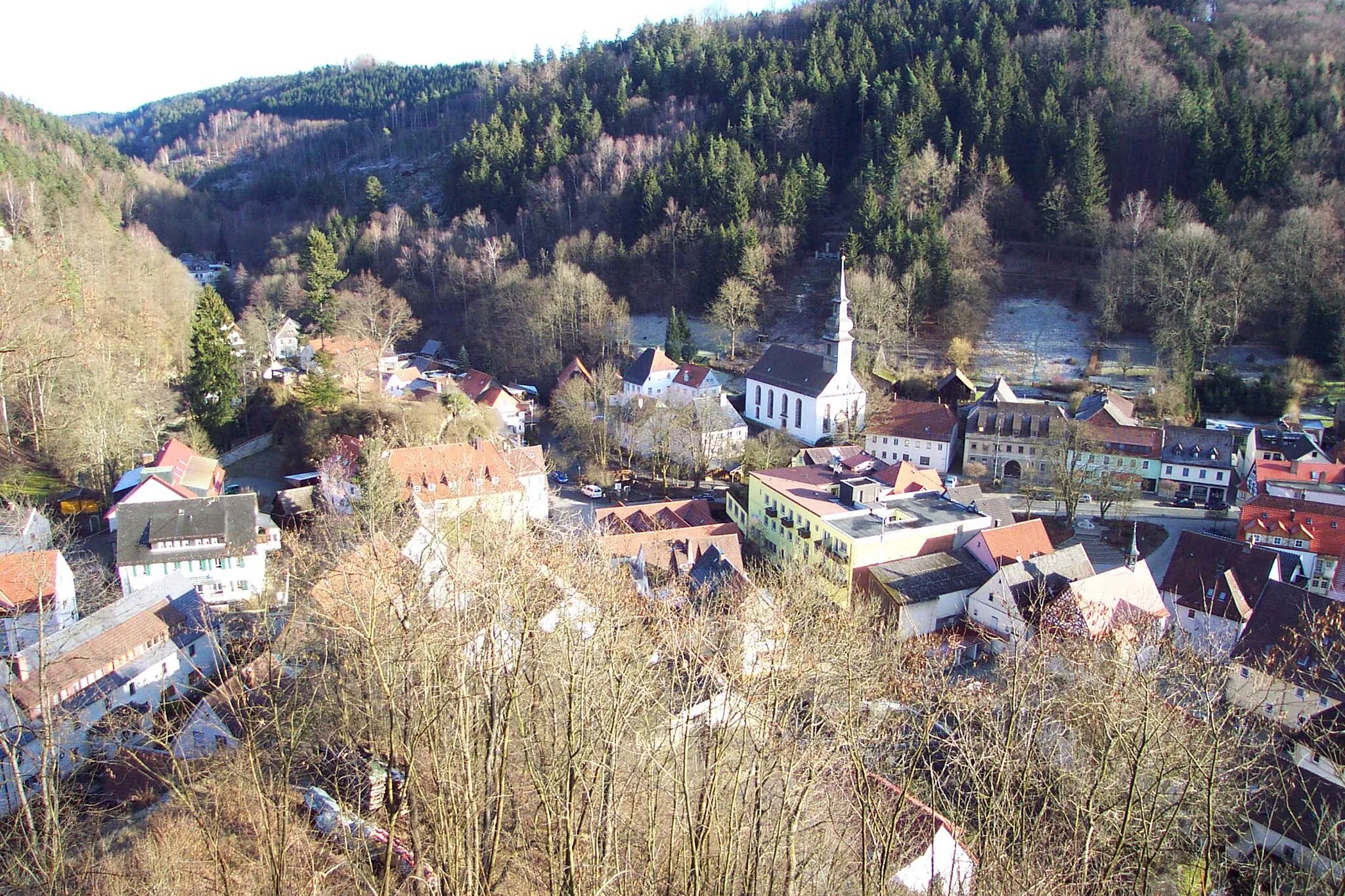
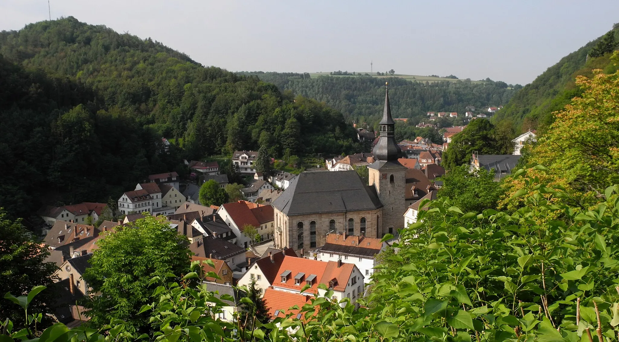
Trebgast, situated in the Oberfranken region of Germany, offers a great cycling experience with its beautiful landscapes and well-maintained roads. The area is known for its stunning countryside, featuring rolling hills, dense forests, and serene lakes. Road cyclists can enjoy long, scenic rides through the region, while gravel cyclists can explore the network of gravel paths and trails. Trebgast is also a popular starting point for exploring the Franconian Forest, which offers various cycling routes and attractions. With its natural beauty and diverse cycling options, Trebgast is perfect for cyclists looking for a rewarding and immersive experience.
Embark on a challenging road cycling adventure through Ködnitz and Ludwigschorgast.
Prepare for an epic road cycling adventure through picturesque landscapes, charming villages, and challenging terrains. With a distance of 98 km and an elevation gain of 2000 m, this route provides a true test of endurance and strength. The highlights along this route include Ködnitz, Rehberg, Marktrodach, and Ludwigschorgast. Cyclists will also pass by scenic spots like Birnbaum, Bromberg, and Schnebeser Knock. This route is recommended for well-trained amateur cyclists who seek a legendary road cycling experience in Oberfranken.
Drossenfeld Loop

Embark on a challenging road cycling adventure through the scenic landscapes of Oberfranken, with several notable highlights along the way.
The Drossenfeld Loop is a challenging road cycling route that takes you through the beautiful region of Oberfranken in Germany. With a total ascent of 1,219 meters and a distance of 122 kilometers, this route is sure to test your endurance and offer breathtaking views. The diverse highlights along the way, including the Neudrossenfeld town, the Horn castle, and the Belvedere overlook, add cultural and historical interest to the journey. Intermediate to advanced cyclists will find this route both invigorating and rewarding.

Embark on an epic road cycling route with stunning highlights.
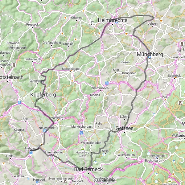
Get ready for the ride of your life on this epic road cycling route. With a total ascent of 1552 meters, it will challenge even the most experienced cyclists. Highlights along the route include the Kaiserdenkmal, Wirsberg, Guttenberg, and Rauhenberg. Make sure to take a break in Schauenstein and enjoy the breathtaking views. The route continues through Köditz, Pfaffengrün, and Lindenfels before reaching the famous Himmelkron.
The Scenic Escape

Discover the picturesque countryside around Trebgast on this gravel cycling route.
Escape from the hustle and bustle of everyday life on this scenic gravel route. With a total ascent of 1307 meters, it offers a challenging but rewarding adventure. Highlights along the way include Trebgast, Herrenberg, Motschenbach, Külmitz, and Marktzeuln. Don't miss the Holzfrauen-Stäffele, a unique set of stairs carved into the forest. The route continues through Rainberg and Schimmendorf before reaching the famous Plassenburg castle. Brace yourself for the climb up to Rehberg before ending the journey in Hegnabrunn.
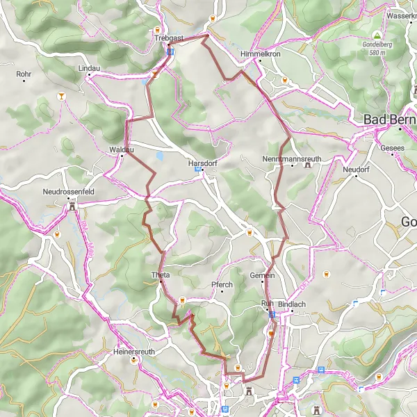
Discover the beauty of Bindlach and the mesmerizing Pechgraben along this gravel cycling route.
This gravel cycling route takes you through the scenic landscapes surrounding Bindlach and offers a unique exploration of the area. With a distance of 36 km and an elevation gain of 443 m, this route is perfect for those looking for a slightly challenging off-road adventure. The highlights of this route include stunning viewpoints like Hohe Warte and Pechgraben. Cyclists will also get to experience the charming village of Bindlach on their way back to Trebgast. This route offers a wonderful mix of natural beauty and cultural heritage, making it a great choice for gravel cyclists of all levels.

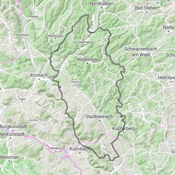
Experience the beauty of Stadtsteinach and Rugendorf on this exciting gravel route.
This gravel route offers an exhilarating adventure through the stunning landscapes surrounding Stadtsteinach and Rugendorf. With a total distance of 59 km and an elevation gain of 927 m, this route is suitable for gravel cyclists seeking a moderate challenge. The highlights of this route include the scenic Radspitze and the iconic Spitzeichener Turm. Cyclists will also pass through the charming villages of Stadtsteinach and Rugendorf, offering a glimpse into the rich cultural heritage of the region. This route combines natural beauty and historical sites, making it a memorable choice for gravel enthusiasts.
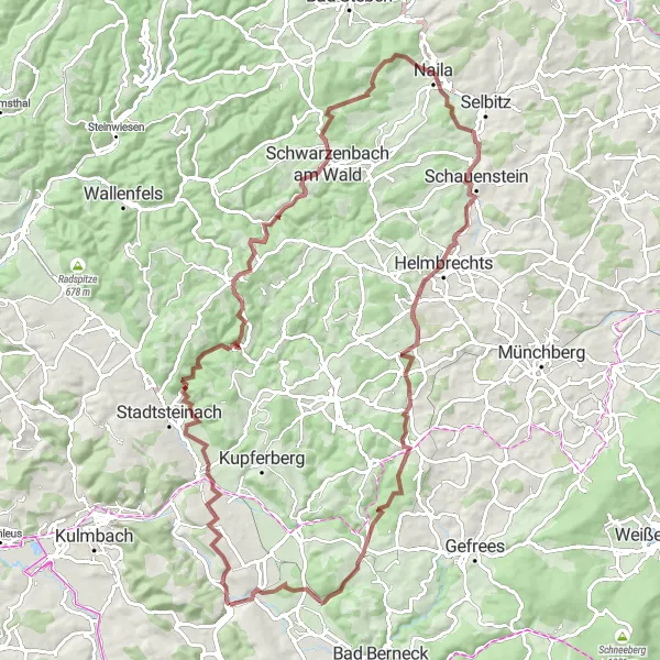
Embark on a challenging gravel ride with scenic views in the Trebgast area.
This challenging gravel route takes you on a scenic adventure through the Trebgast area, offering breathtaking views and memorable highlights. With an ascent of 1814 meters and a distance of 93 kilometers, it is suitable for experienced cyclists looking for a more technical ride. Highlights include Untersteinach, a beautiful village situated in a picturesque valley, and Naila, a vibrant town known for its rich cultural heritage and charming architecture.
Neudrossenfeld and Horn Route
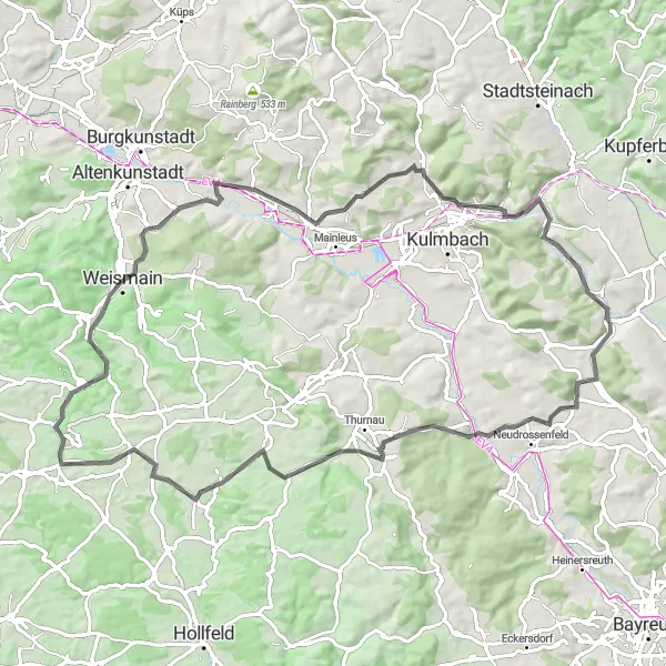
Experience the charming Neudrossenfeld and Horn villages along this road cycling route.
This road cycling route offers a picturesque journey through the beautiful villages of Neudrossenfeld and Horn. With a total distance of 79 km and an elevation gain of 929 m, this scenic route showcases the best of Oberfranken. The route is moderately challenging and offers incredible views of the surrounding countryside. Cyclists will pass through highlights such as Stadelhofen, Weismain, and Ködnitz on their way back to Trebgast. This route is perfect for well-trained amateur cyclists looking for a memorable cycling experience.

Explore the picturesque Trebgast area on this gravel route.
This route takes you through the beautiful countryside near Trebgast, offering stunning views and natural highlights along the way. With a moderate difficulty level and a distance of 68 kilometers, it is suitable for experienced amateur cyclists. The ascent of 1108 meters adds a challenge to the ride. Highlights include Schlömen, an idyllic village known for its charming architecture, and Goldmühl, a historic mill situated in a scenic valley.
The Mountain Challenge
Embark on a challenging road cycling route with over 1000 meters of ascent.
This route is not for the faint of heart! With a total ascent of 1023 meters, it offers a true mountain cycling experience. The beautiful scenery includes highlights such as the Kaiserdenkmal, Wirsberg, and Helmbrechts. Take a break at the Aussichtsturm Kirchberg to enjoy panoramic views of the surrounding countryside. The route passes through Münchberg, Gefrees, and Lindenfels before reaching the Pavillon.
Cycling routes nearby:


Nearby regions: