Stadtsteinach and Rugendorf Gravel Route
A gravel cycling route starting from Trebgast
Experience the beauty of Stadtsteinach and Rugendorf on this exciting gravel route.
Map

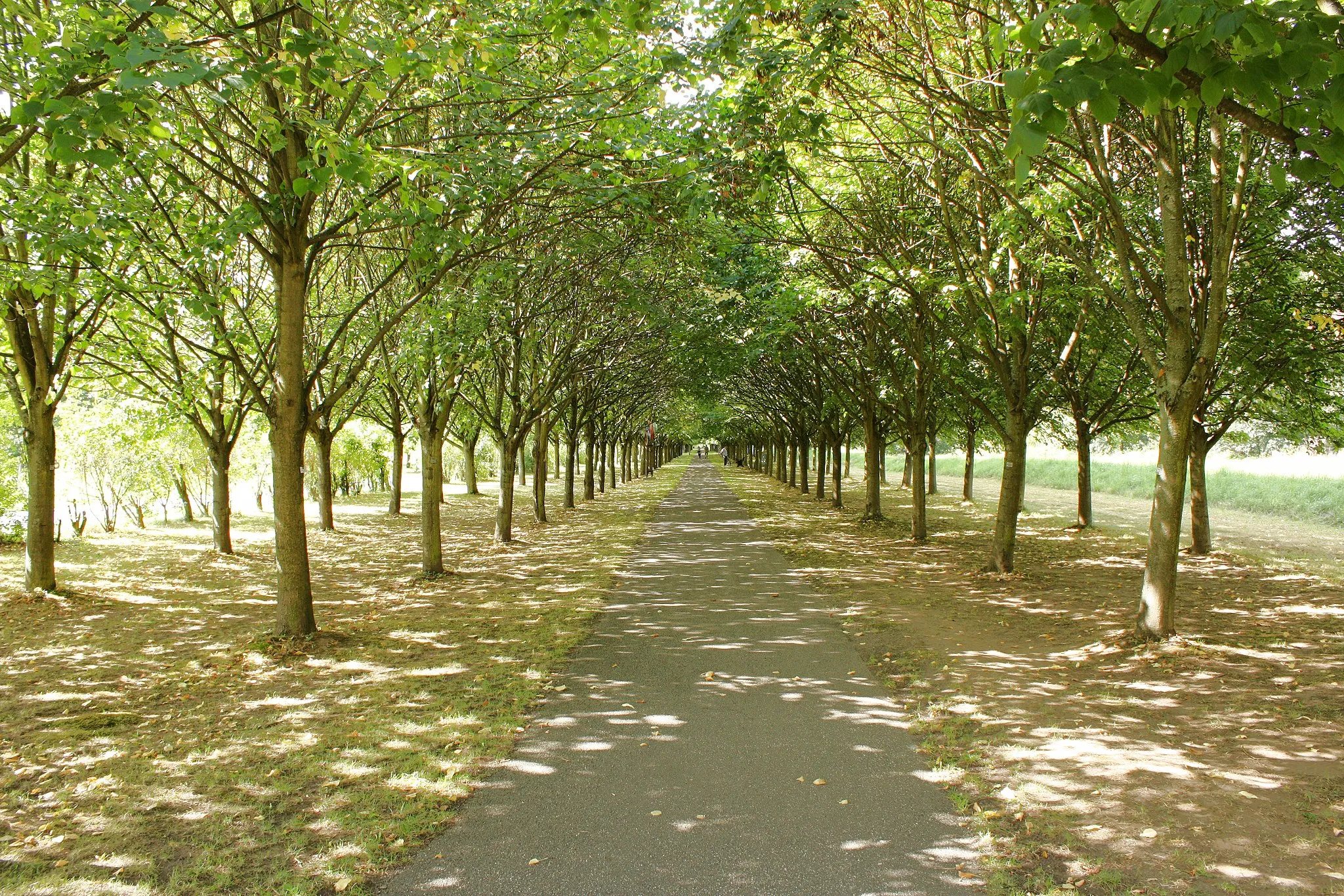
This gravel route offers an exhilarating adventure through the stunning landscapes surrounding Stadtsteinach and Rugendorf. With a total distance of 59 km and an elevation gain of 927 m, this route is suitable for gravel cyclists seeking a moderate challenge. The highlights of this route include the scenic Radspitze and the iconic Spitzeichener Turm. Cyclists will also pass through the charming villages of Stadtsteinach and Rugendorf, offering a glimpse into the rich cultural heritage of the region. This route combines natural beauty and historical sites, making it a memorable choice for gravel enthusiasts.
gravel
59 km
927 m
Tough
Route profile
Highlights on the route
0 km
0 km
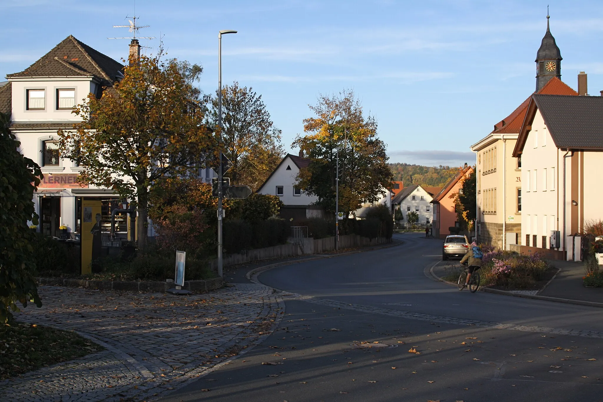
Start: Trebgast Village centerTrebgast: Nature's paradise with extensive cycling options in Oberfranken.
Trebgast, situated in the Oberfranken region of Germany, offers a great cycling experience with its beautiful landscapes and well-maintained roads. The area is known for its stunning countryside, featuring rolling hills, dense forests, and serene lakes. Road cyclists can enjoy long, scenic rides through the region, while gravel cyclists can explore the network of gravel paths and trails. Trebgast is also a popular starting point for exploring the Franconian Forest, which offers various cycling routes and attractions. With its natural beauty and diverse cycling options, Trebgast is perfect for cyclists looking for a rewarding and immersive experience.13 km
13 km
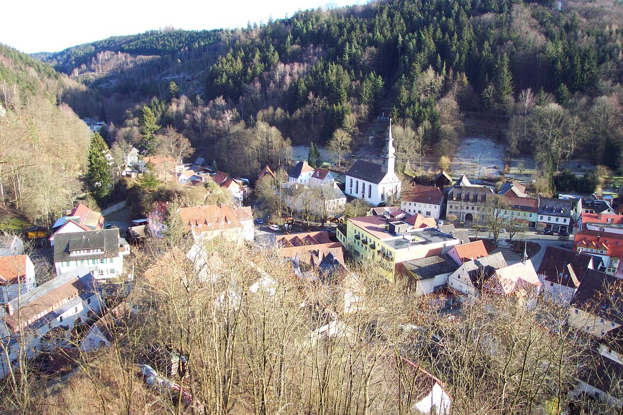
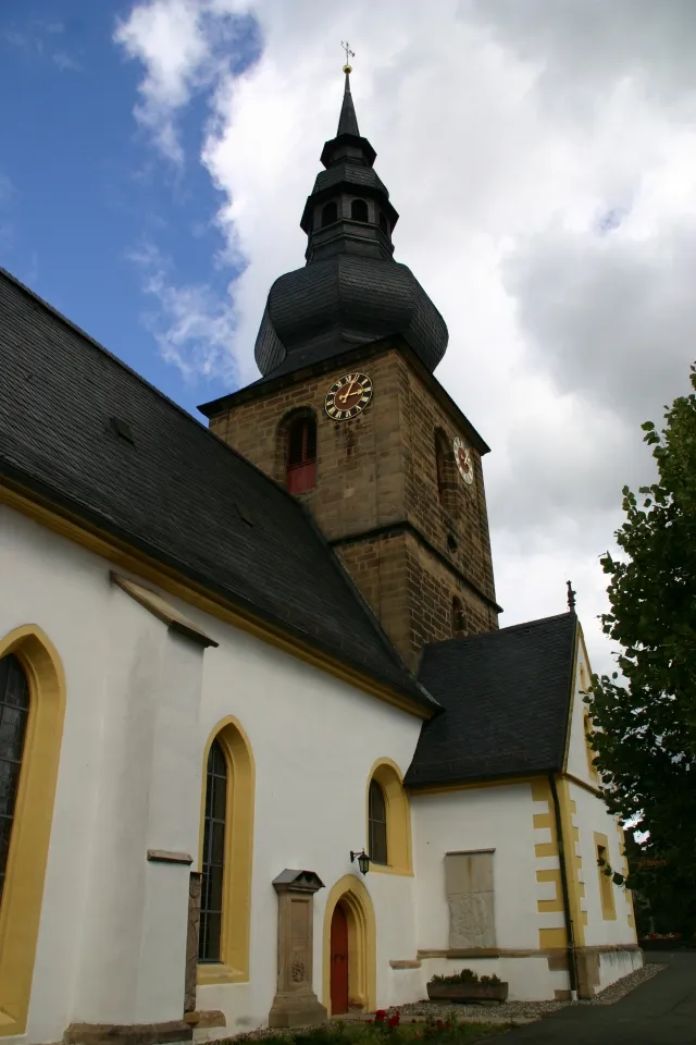
StadtsteinachTownStadtsteinach is a quaint town with charming architecture and a medieval fortress. Take a moment to explore its historical center before continuing your gravel adventure.
18 km
18 km
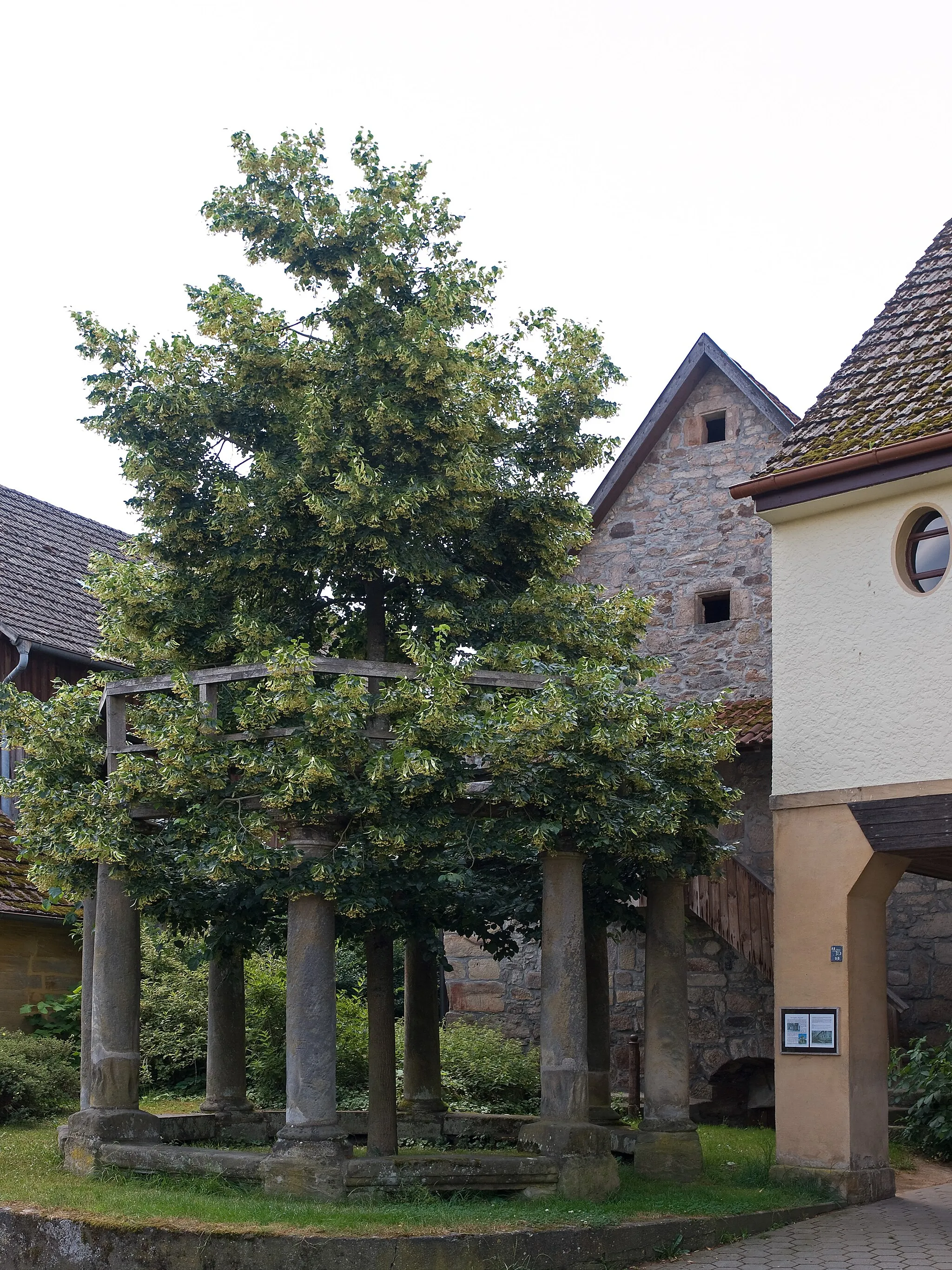
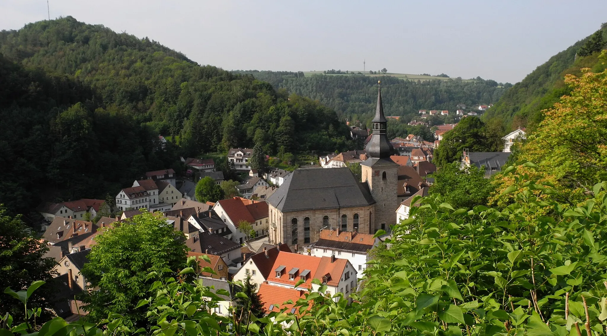
RugendorfVillageRugendorf is a picturesque village with traditional half-timbered houses and a scenic location. Enjoy the serene atmosphere and take a break before conquering the next part of your gravel journey.
28 km
28 km
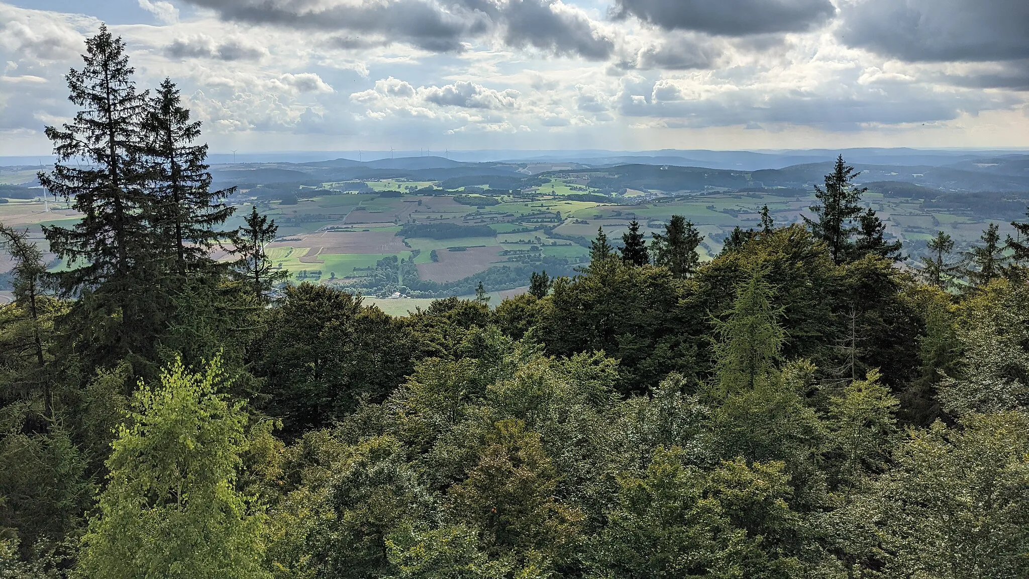
Radspitze678 mPeakRadspitze is a popular viewpoint with stunning panoramas of the surrounding landscapes. Take some time to enjoy the breathtaking views before making your way towards Spitzeichener Turm.
55 km
55 km
Spitzeichener TurmViewpointSpitzeichener Turm is a historic tower offering incredible views of the region. Explore its secrets and immerse yourself in the history before returning to Trebgast.
59 km
59 km
Finish: Trebgast Village centerTrebgast: Nature's paradise with extensive cycling options in Oberfranken.
Cycling routes from Trebgast:
Neudrossenfeld and Horn Route Hörlinreuth and Spitzeichener Turm Gravel Route Ködnitz and Ludwigschorgast Road Route Off the Beaten Path Bindlach and Pechgraben Gravel Route Stadtsteinach and Rugendorf Gravel Route The Mountain Challenge The Scenic Escape Drossenfeld Loop The Ultimate Adventure Pleasant Gravel Ride through Trebgast Reserve Scenic Gravel Adventure in Trebgast and Surroundings
Cycling routes nearby: