Ossinger and Giebelstein Gravel Adventure
A gravel cycling route starting from Auerbach
Explore the gravel roads through Ossinger and Giebelstein on this adventurous route.
Map
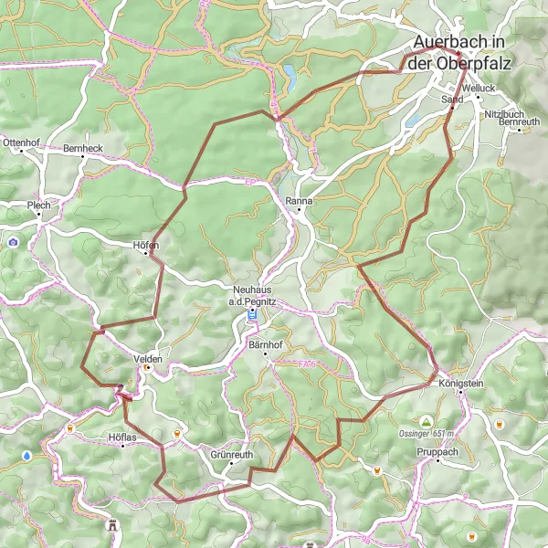
This gravel route takes you through the beautiful landscapes of Ossinger and Giebelstein. With a total distance of 48 km and an ascent of 915 m, it is perfect for gravel enthusiasts looking for a challenging ride. The highlights along the route include the Ossinger and Giebelstein, providing stunning views of the surrounding countryside. The difficulty level of this route is rated as a 3 out of 5, suitable for well-trained amateurs.
gravel
48 km
915 m
Tough
Route profile
Highlights on the route
0 km
0 km
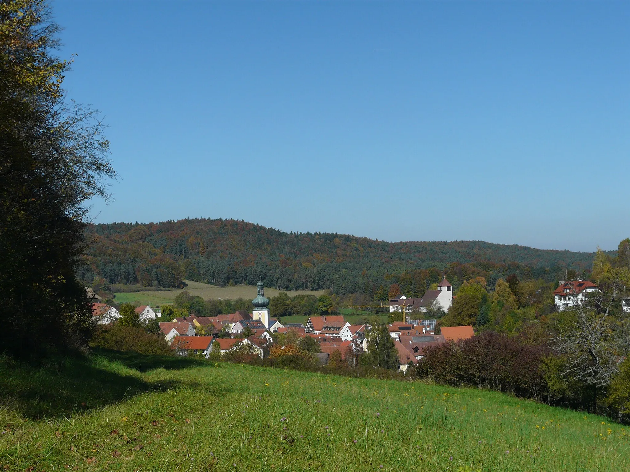
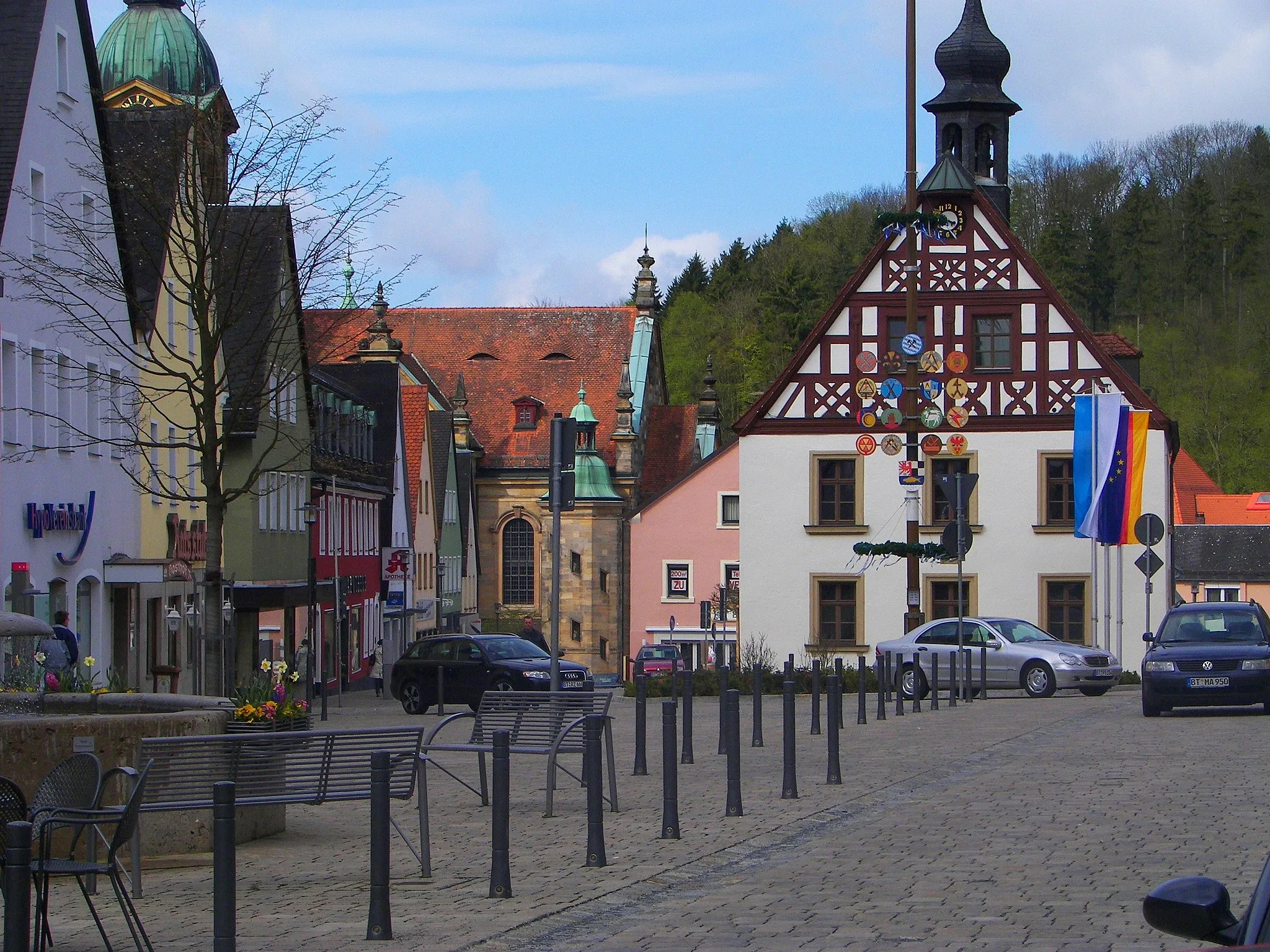
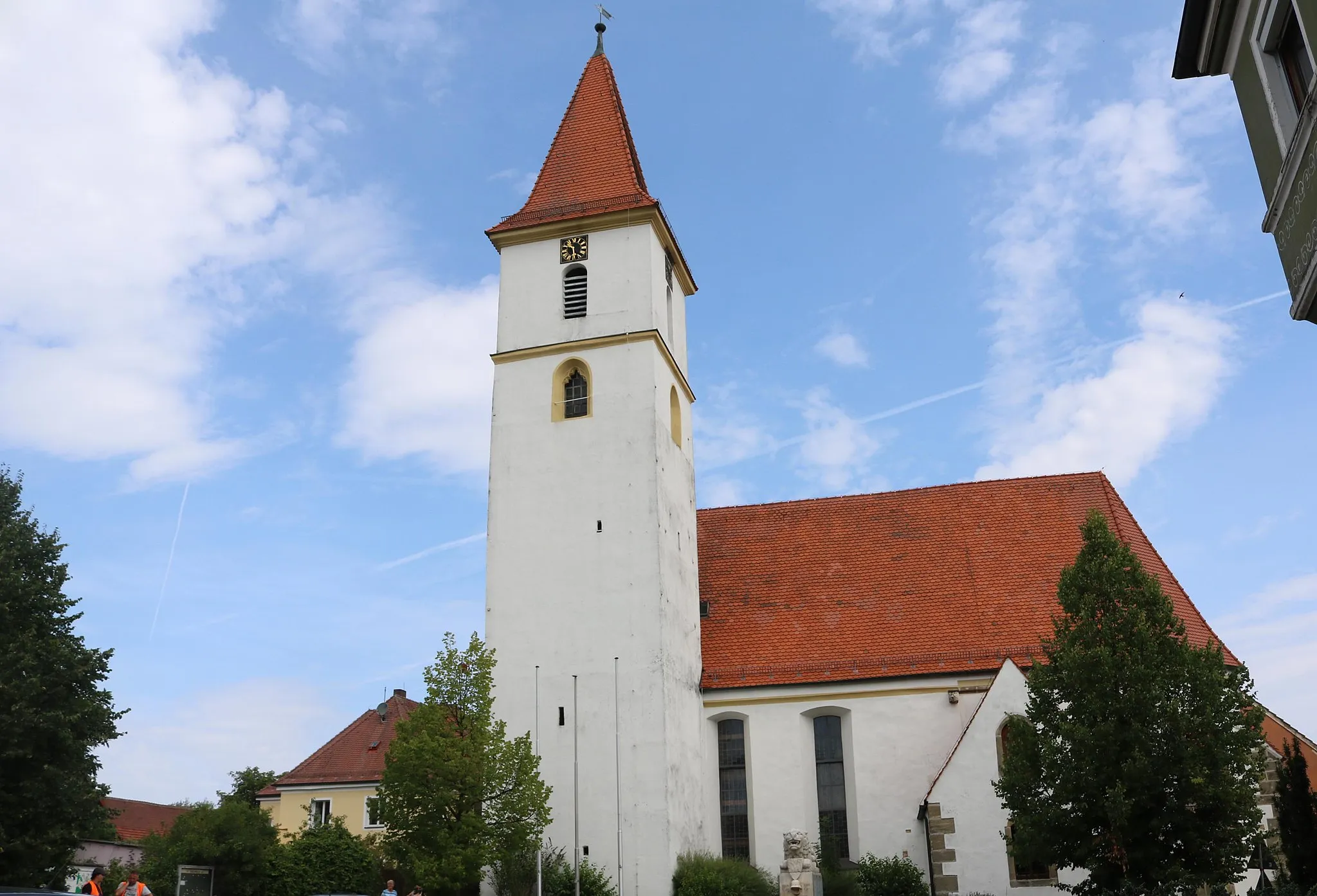
Start: Auerbach in der Oberpfalz City centerAuerbach: Nature's tranquility and scenic rides
Auerbach, located in Germany's Oberpfalz region, provides cyclists with diverse routes for both road and gravel cycling. The locality's network of well-maintained roads and paths offers cyclists the opportunity to explore the area's idyllic landscapes, including forests, meadows, and charming villages. While there might not be any famous noteworthy cycling spots in immediate proximity, Auerbach's tranquility and natural beauty make it a worthwhile destination for cyclists seeking a peaceful and rejuvenating cycling experience. With its serene atmosphere and varied cycling routes, Auerbach promises an enjoyable escape for cycling enthusiasts.13 km
13 km
Ossinger651 mPeakThe Ossinger offers panoramic views of the Oberpfalz region, making it a worthwhile stop along the route.
19 km
19 km
Giebelstein512 mPeakGiebelstein is a notable geological formation known for its unique rock formations and geological significance.
28 km
28 km
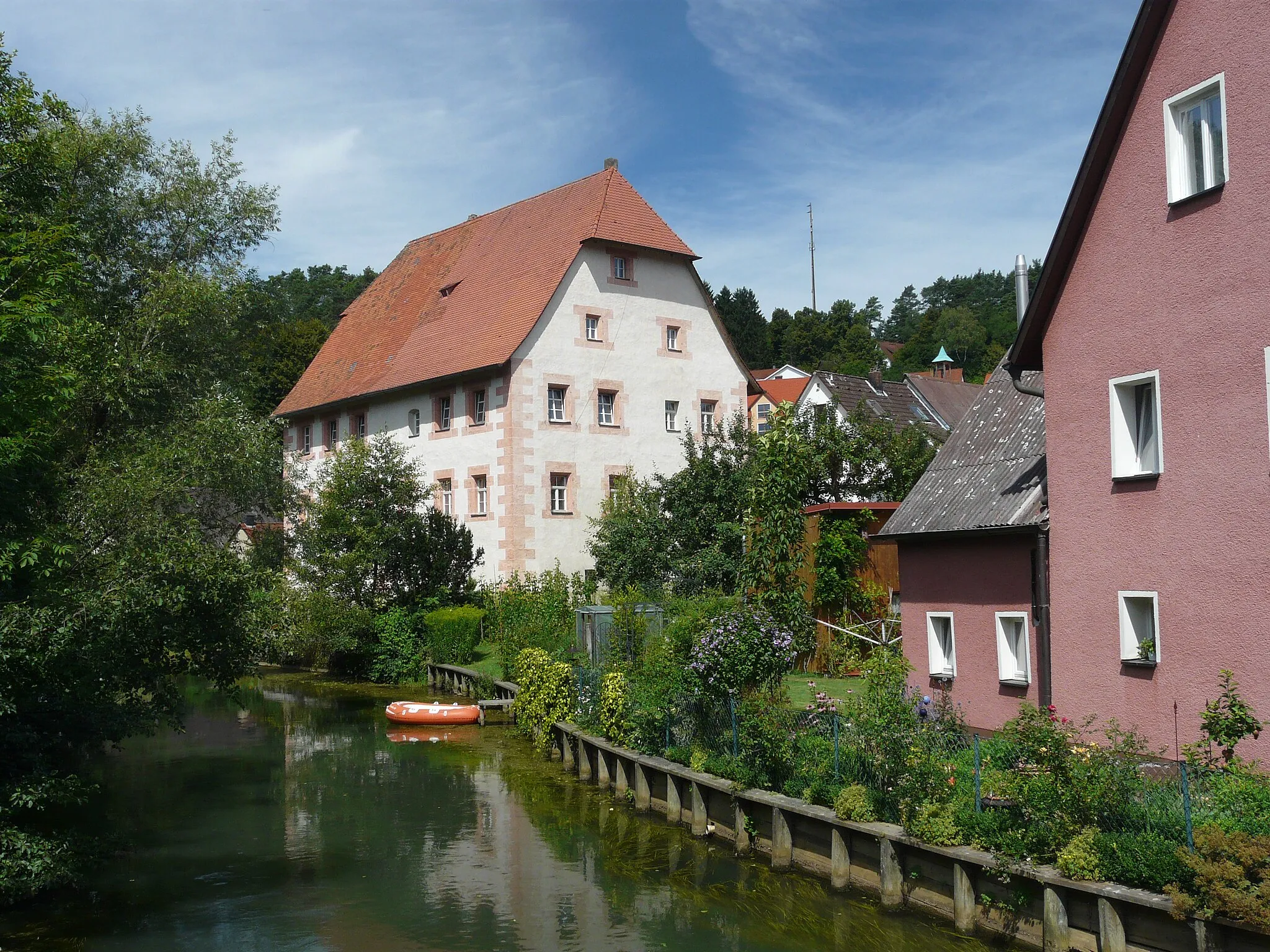
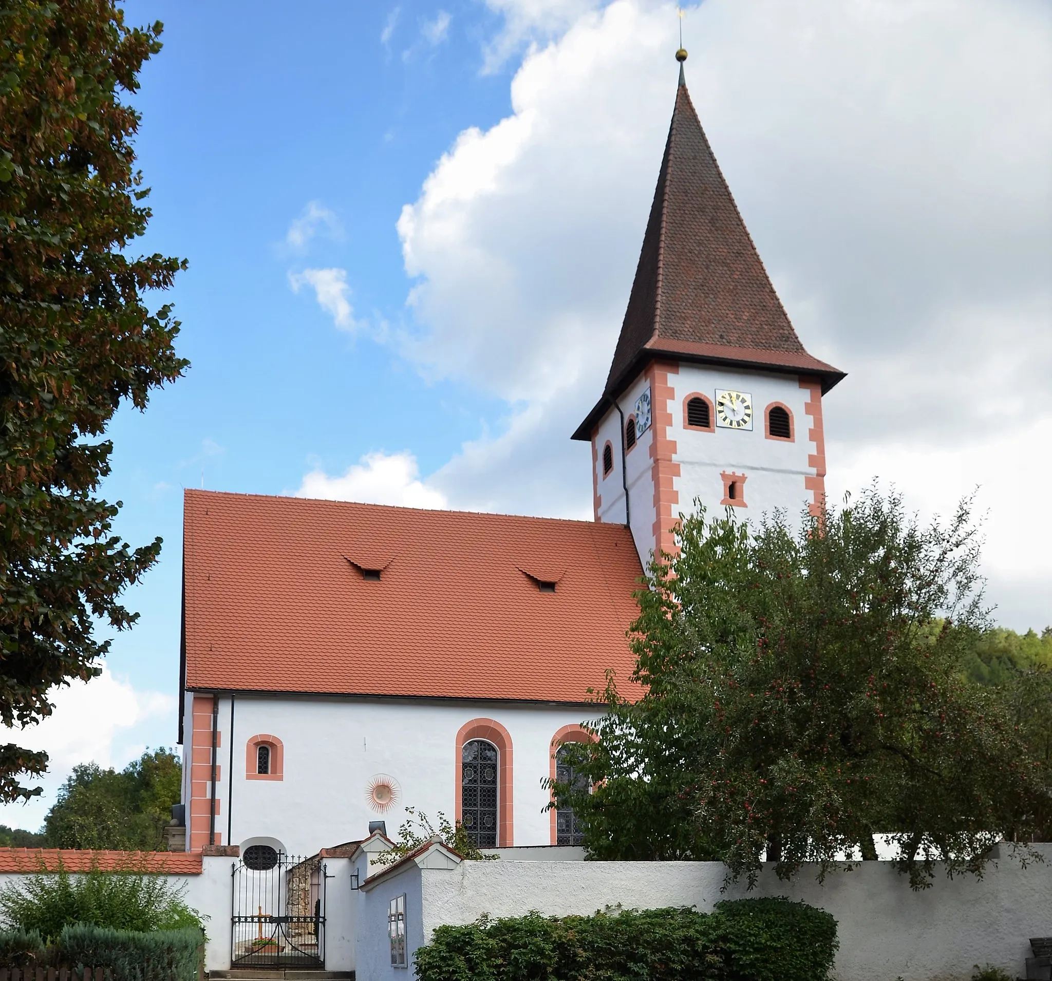
LungsdorfVillageLungsdorf is a picturesque village with traditional architecture and charming streets worth exploring.
33 km
33 km
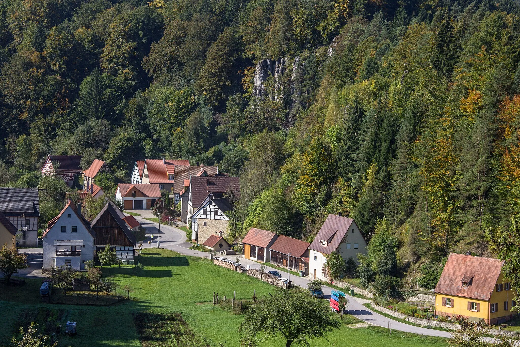
Hellertsberg514 mPeakHellertsberg is a small village surrounded by lush green hills, providing a peaceful atmosphere during the ride.
35 km
35 km
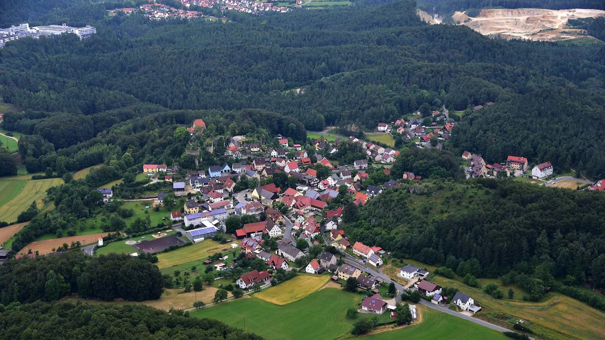
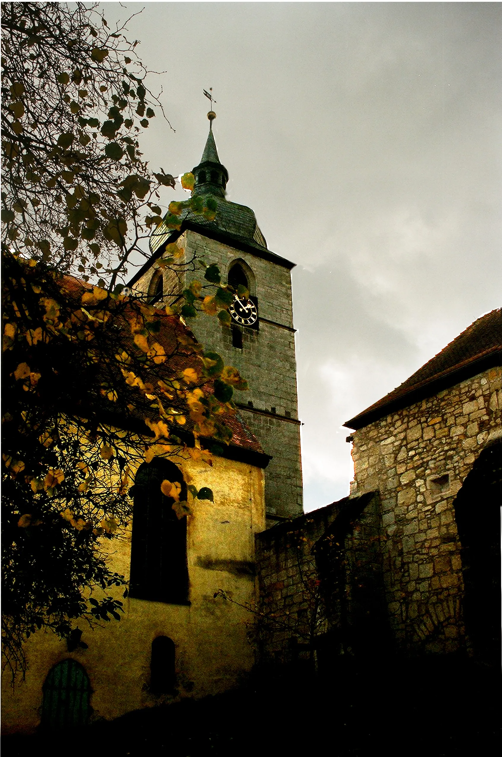
HöfenVillageHöfen is a historical village with well-preserved medieval architecture, offering a glimpse into the region's rich history.
42 km
42 km
BeobachtungsturmViewpointBeobachtungsturm is a watchtower that offers breathtaking 360-degree views of the surrounding countryside and is worth a visit.
48 km
48 km
Finish: Auerbach in der Oberpfalz City centerAuerbach: Nature's tranquility and scenic rides
Cycling routes from Auerbach:
Pegnitz Circular Route - Road Cycling Adventure Mountainous Road Adventure to Waischenfeld Seybothenreuth and Ebersberg Road Excursion Ottenhof Round Trip - Gravel Cycling Route Ossinger and Giebelstein Gravel Adventure The Gravel Adventure Explore the Gravel Roads of Thurndorf The Road to Adventure Arzberg Adventure - Gravel Cycling Route Plech and Gößweinstein Scenic Road Tour Auerbach - Pegnitz - Bayreuth Loop Auerbach - Grafenwöhr - Weiden in der Oberpfalz Loop
Cycling routes nearby: