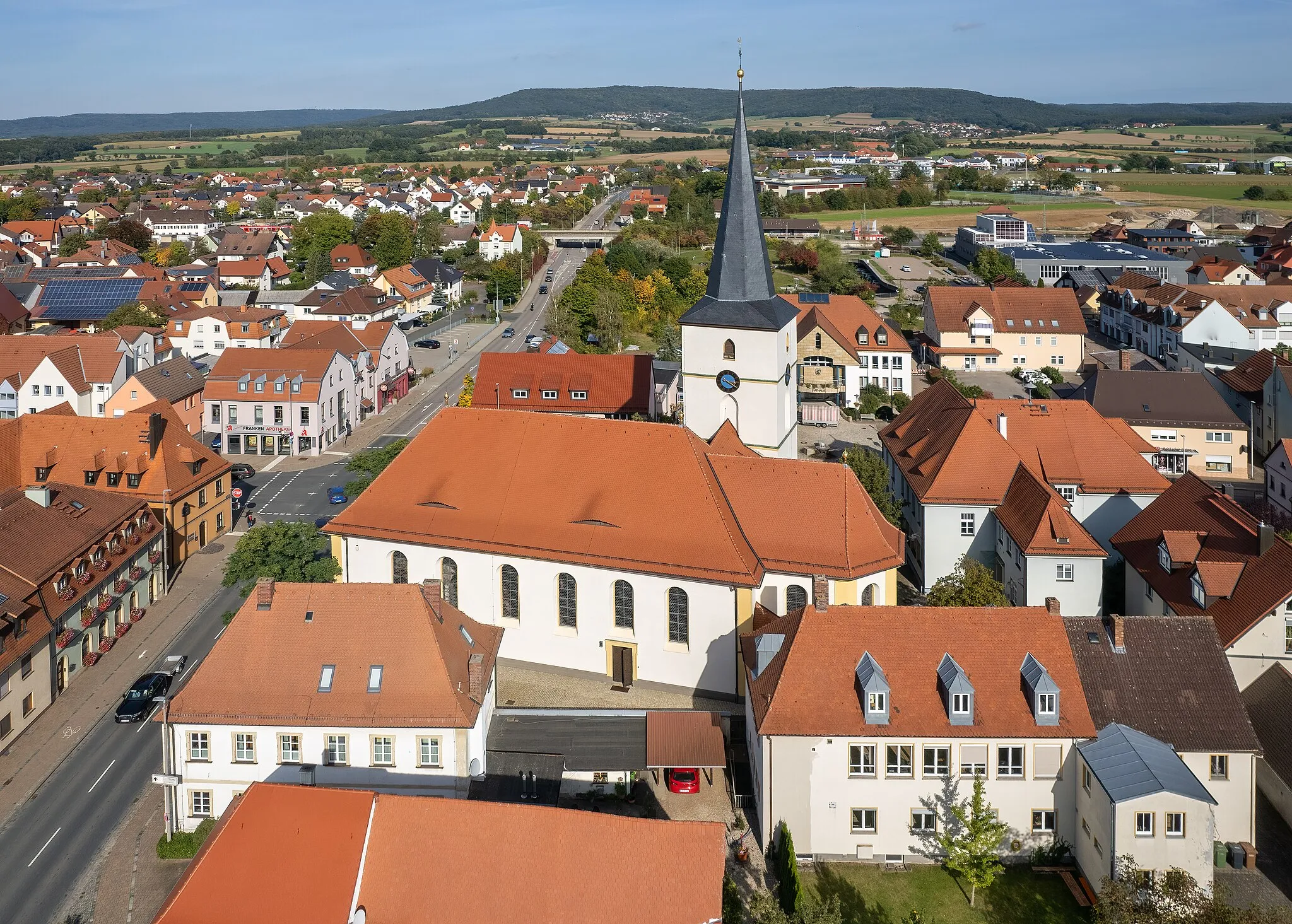
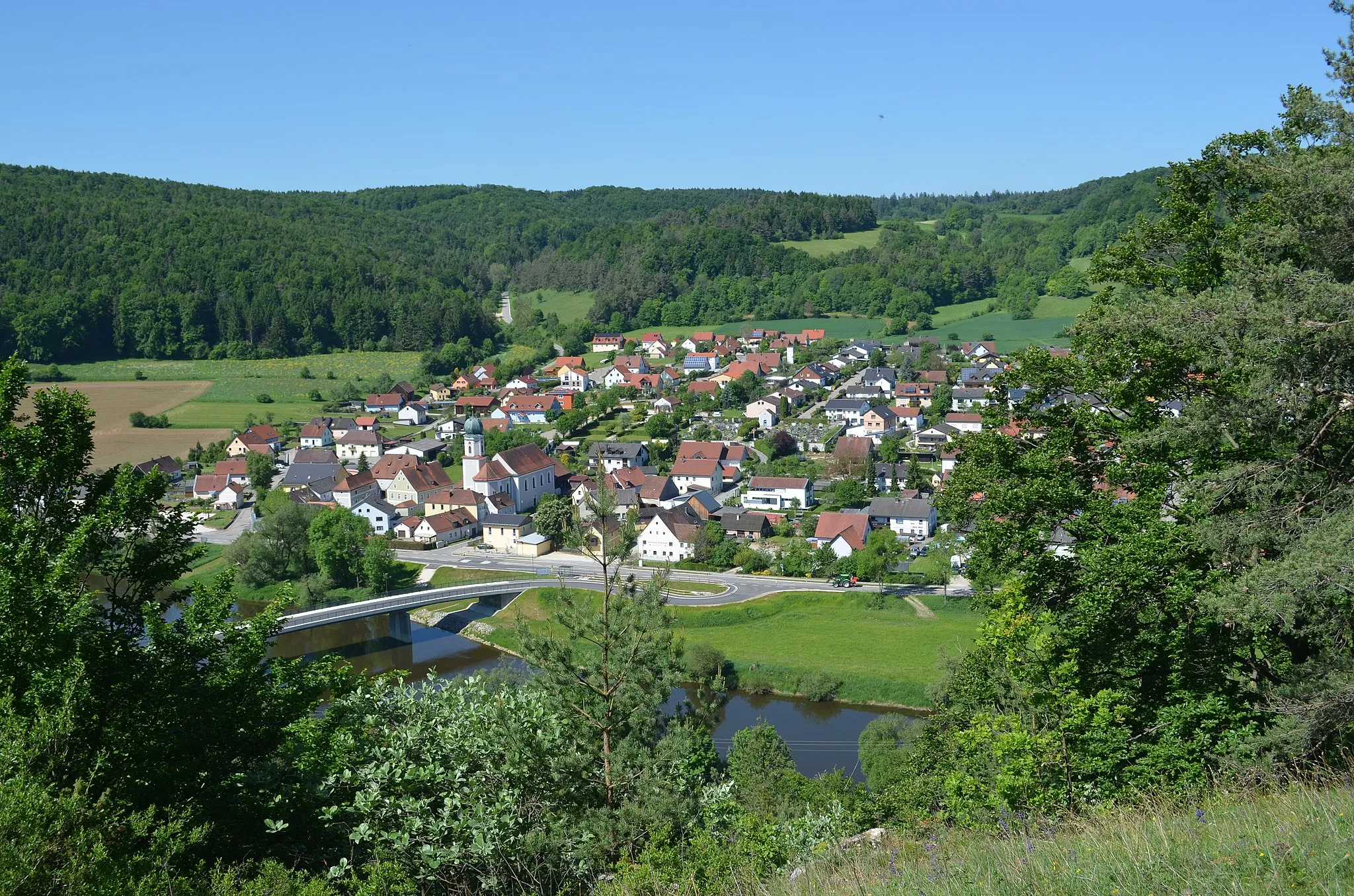
Conquer legendary climbs in the cycling hotspot of Burglengenfeld, Oberpfalz, Germany.
Cycling routes from Burglengenfeld
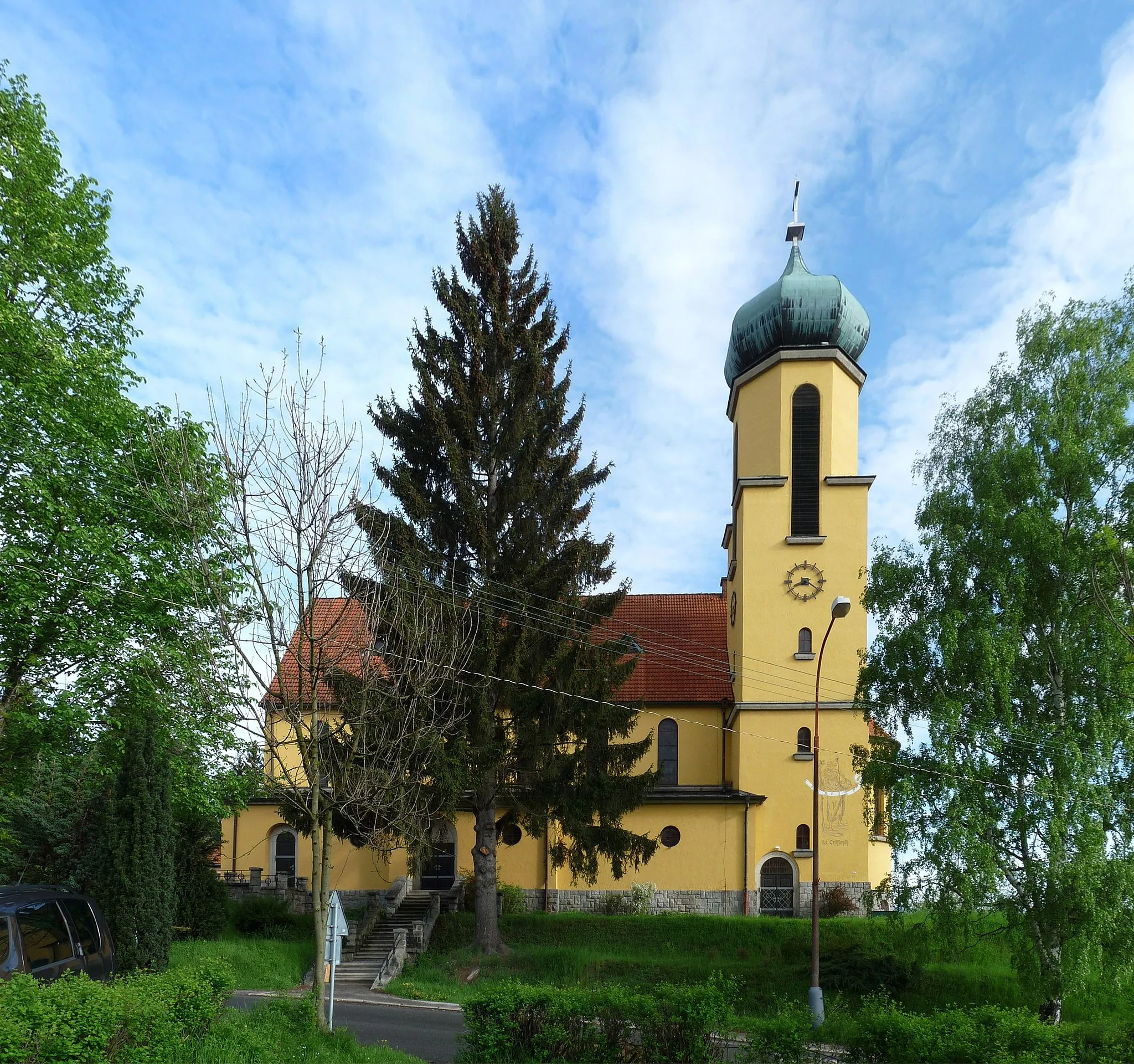
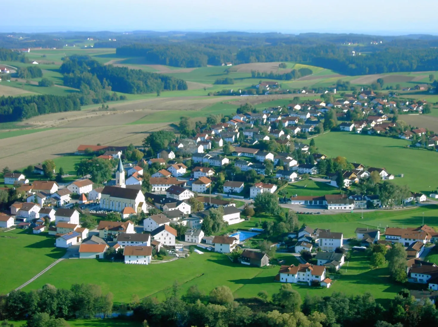
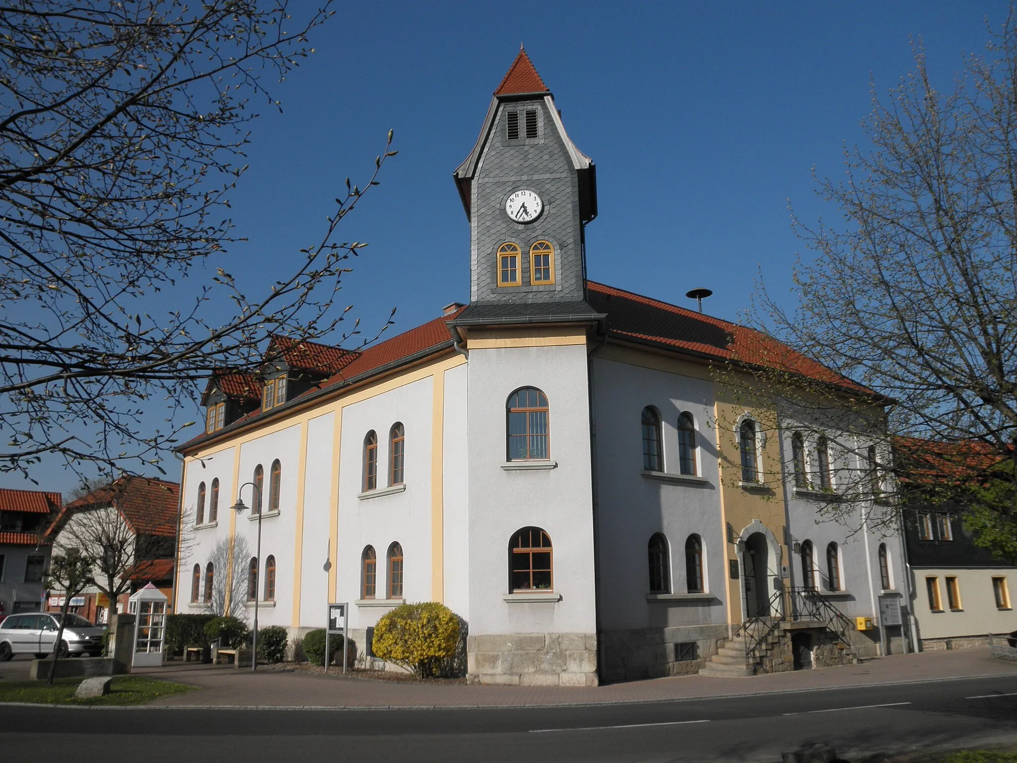
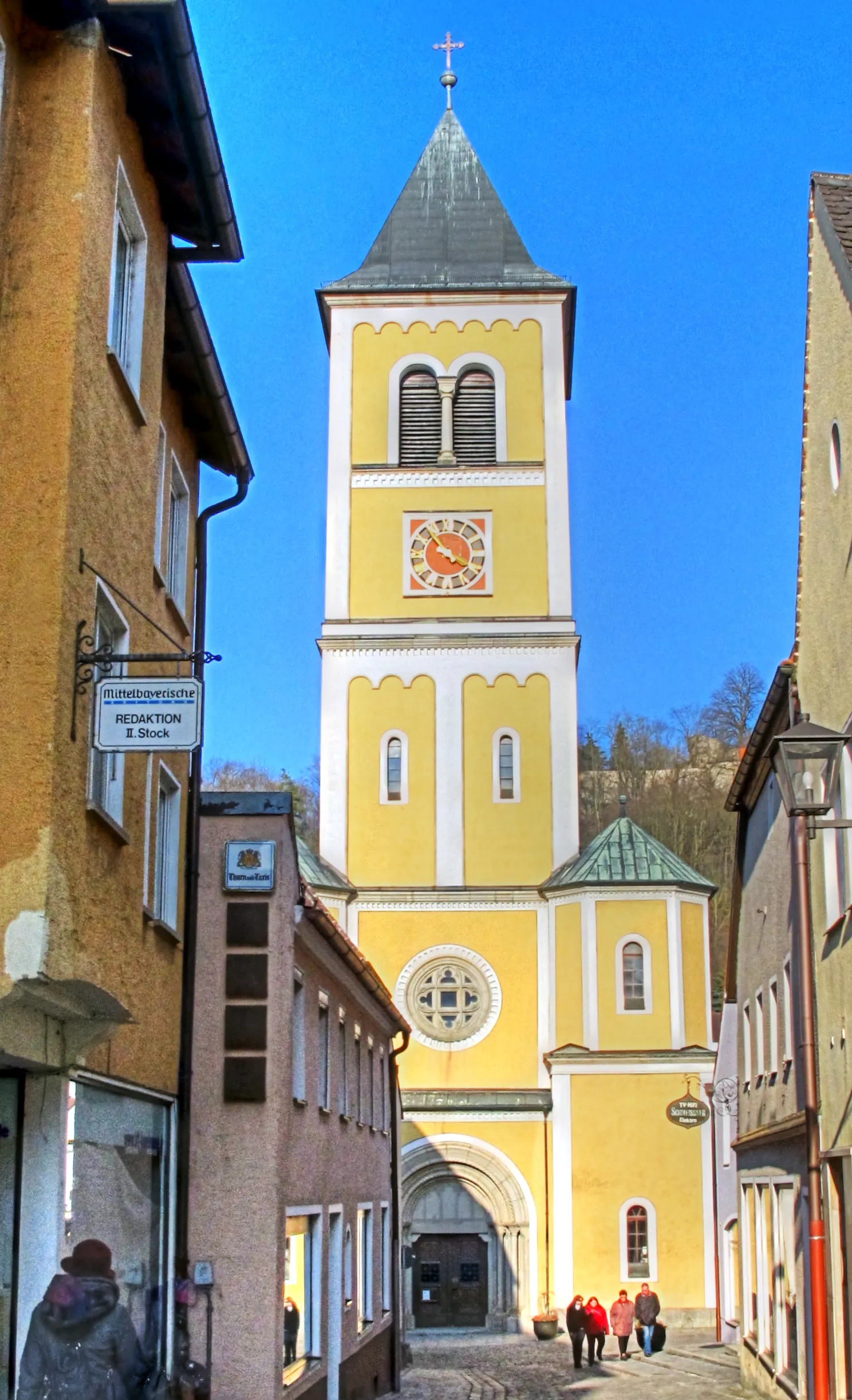
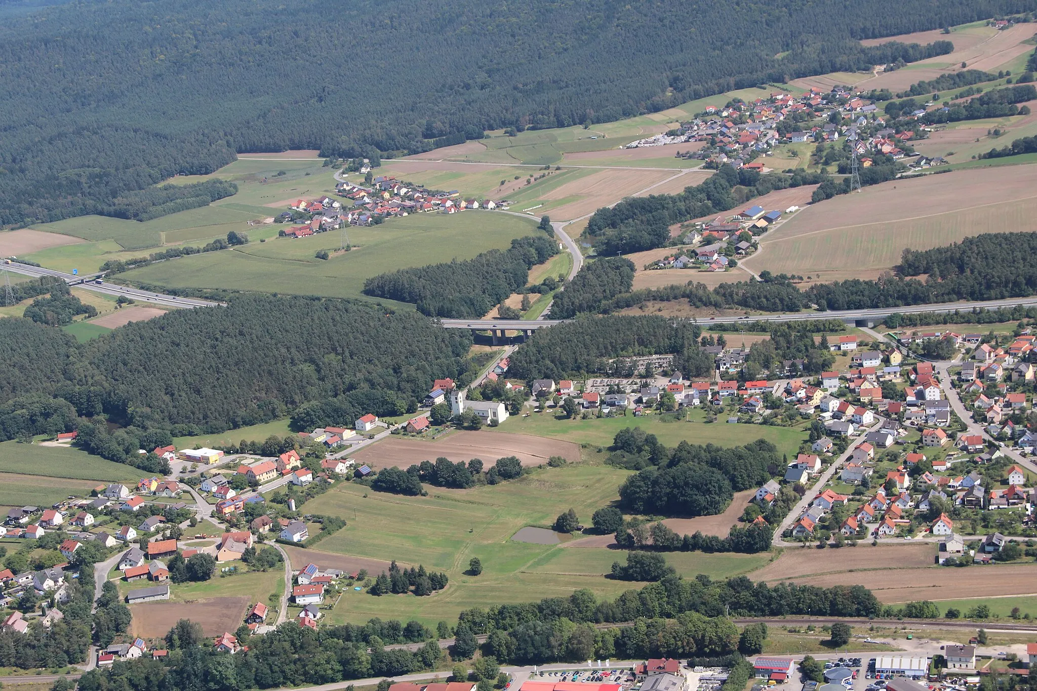
Burglengenfeld, situated in Oberpfalz, Germany, is a magnet for road and gravel cycling enthusiasts. The locality is home to several well-known cycling climbs, including Klotzberg and Rabenholzfelsen, which attract avid cyclists from far and wide. Burglengenfeld itself offers stunning landscapes, meandering river routes, and quaint villages to discover. Cyclists can enjoy challenging ascents and thrilling descents as they explore the stunning countryside. For a truly exhilarating and memorable cycling experience, Burglengenfeld is a top choice.

Experience the beauty of Bavaria as you cycle through picturesque towns and visit iconic landmarks on this road cycling adventure.
This road cycling route is perfect for enthusiasts looking to explore the cultural heritage and natural beauty of the Oberpfalz region. With a total ascent of 1,350 meters and a distance of 130 kilometers, it offers a challenging yet rewarding experience. Highlights along the route include the Dreifaltigkeitsberg, Regensburg, and Kelheim. The difficulty level is moderate to high, suitable for well-trained amateurs. It's rated 4 out of 5 in terms of epicness.
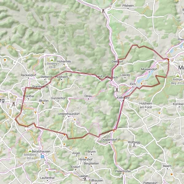
Embark on an adventurous gravel tour through Kallmünz and Hohenfels, surrounded by natural beauty and historical sites.
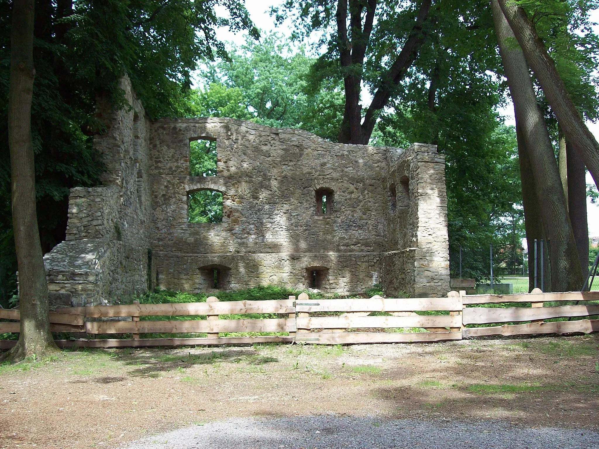
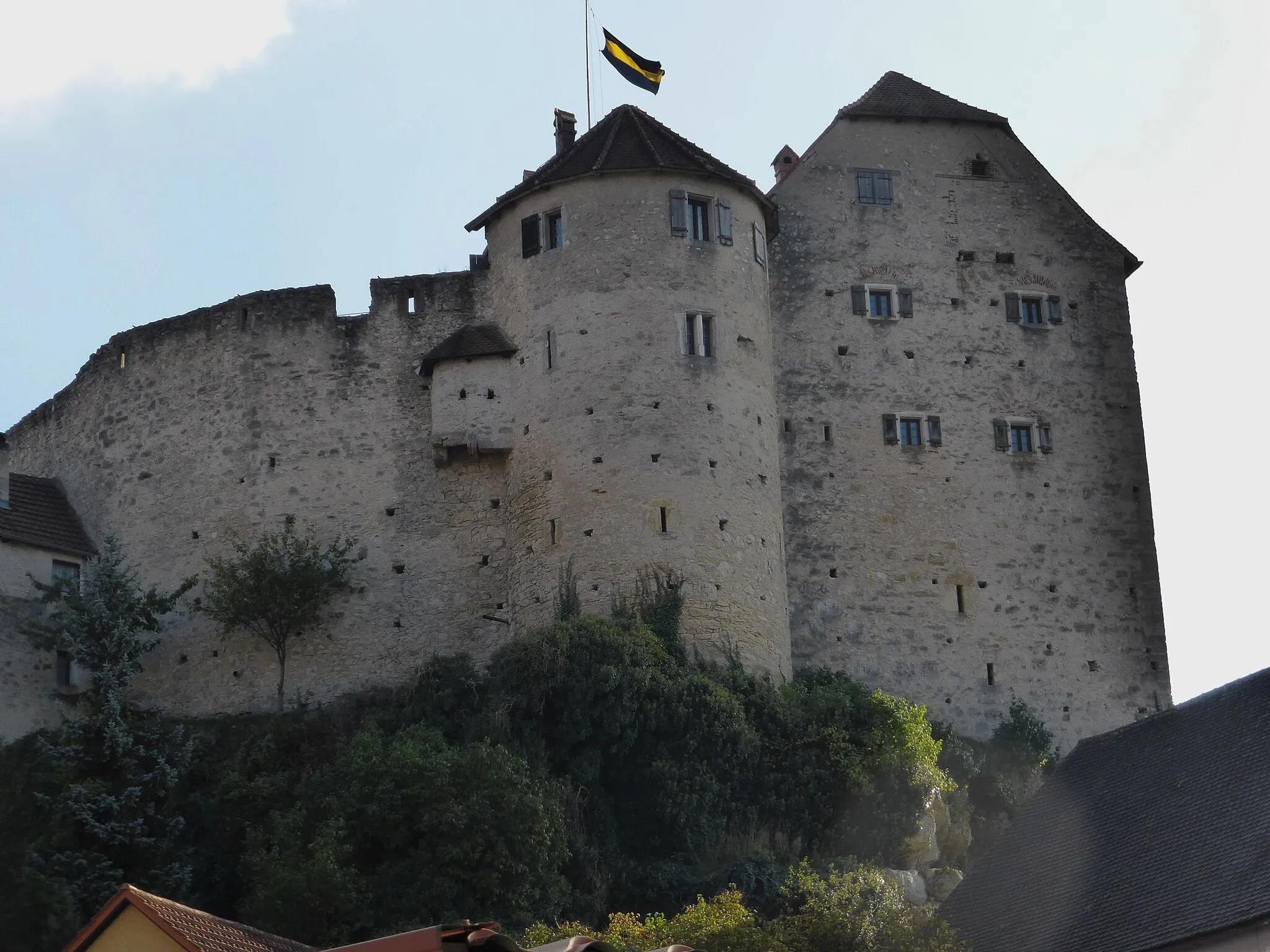
Embark on an exciting 64-kilometer gravel tour through the scenic landscapes of Kallmünz and Hohenfels. This challenging route features an ascent of 920 meters and offers breathtaking views along the way. Explore the medieval town of Kallmünz, renowned for its beautiful castle and picturesque alleys. Pass through Schwarzenthonhausen and discover its historical significance. The highlight of this journey is reaching Hohenfels, where you can marvel at the majestic Hohenfels Castle and explore the peaceful Bergkreuz Gmaisberg area. With a difficulty rating of 4 and an epicness rating of 4, this route promises an unforgettable adventure through the heart of Oberpfalz.
A beautiful loop that takes you through the scenic countryside to the quaint towns of Teublitz and Sulzbach an der Donau.
This gravel route is a great choice for those who enjoy off-road cycling. With a total ascent of 1,211 meters and a distance of 76 kilometers, you'll have ample opportunity to challenge yourself and take in the stunning rural landscapes. Highlights along the route include the Pavillon, Pettenreuth, and the Schlossbergturm. The difficulty level is moderate, suitable for well-trained amateurs. It's rated 4 out of 5 in terms of epicness.
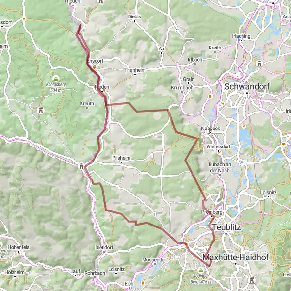
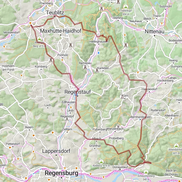
Embark on a scenic gravel tour through Rodinger Berg and Schmidmühlen, surrounded by idyllic landscapes.
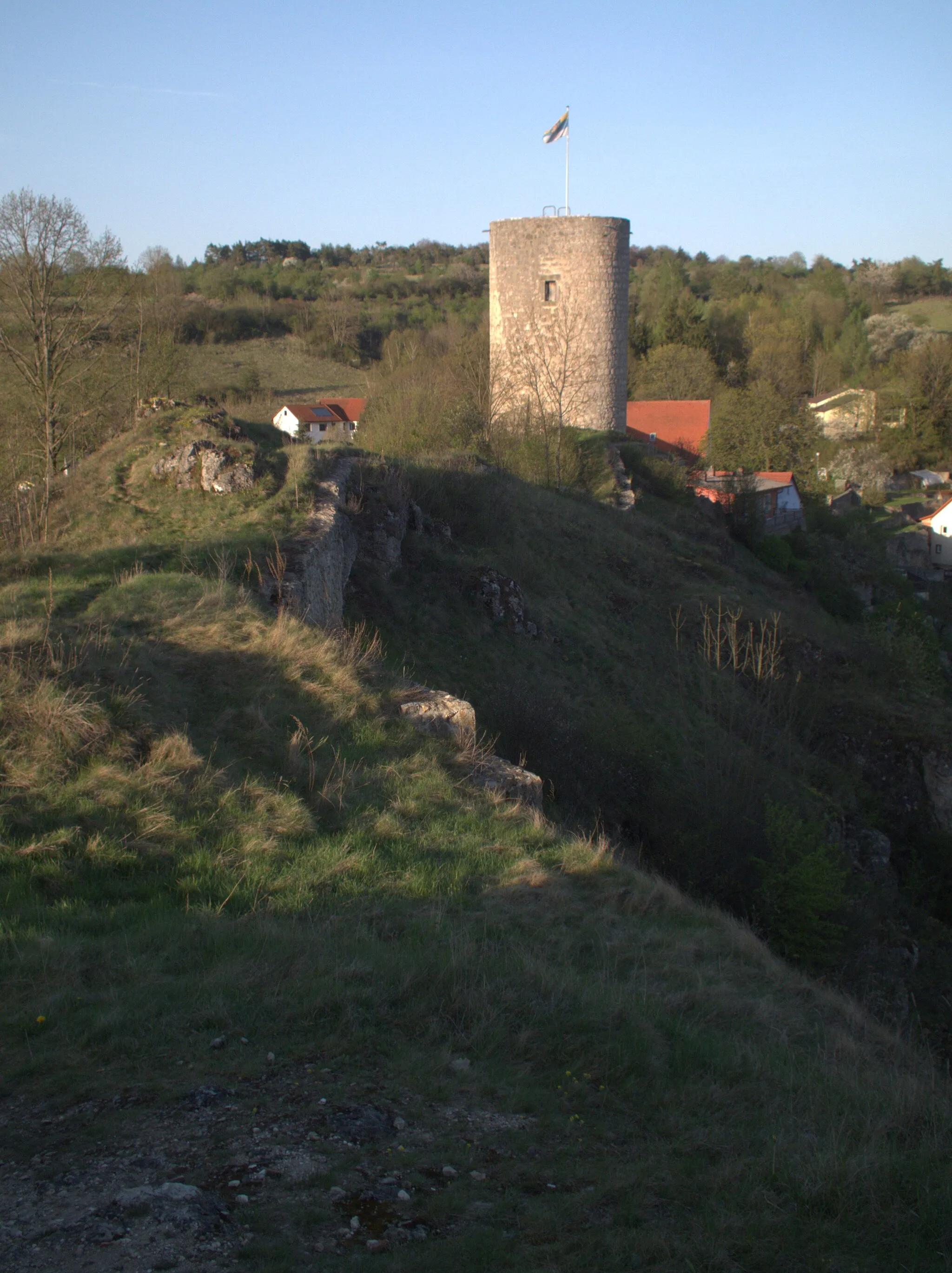
Embark on a picturesque 61-kilometer gravel tour through the enchanting landscapes of Rodinger Berg and Schmidmühlen. This route offers a moderate challenge, with a total ascent of 655 meters. Marvel at the beauty of Rodinger Berg, immerse yourself in the medieval atmosphere of Burglengenfeld, and visit the charming town of Schmidmühlen along the way. Finally, reach Juradistl-Landschaftskino and experience the unique natural landscapes of Oberpfalz. With a difficulty rating of 3 and an epicness rating of 3, this route guarantees a memorable cycling experience in the heart of Germanic landscapes.
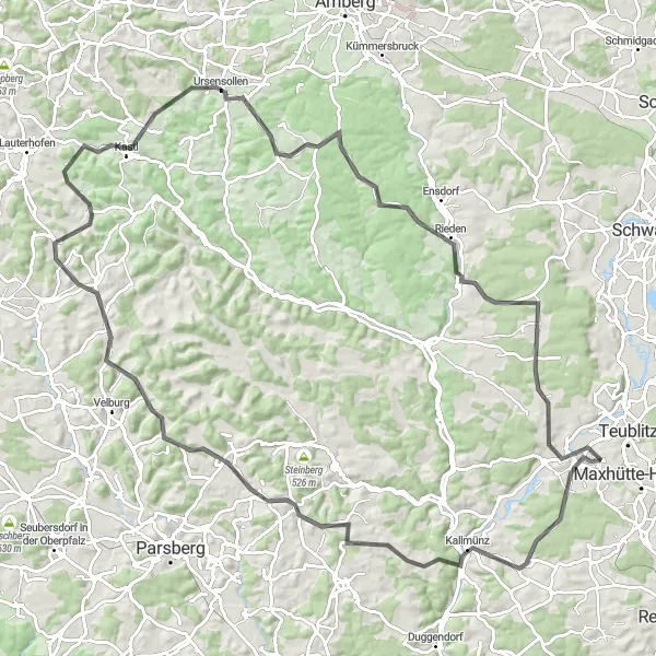
Experience a challenging road cycling route from Burglengenfeld to Ursensollen
Embark on a thrilling road cycling adventure from Burglengenfeld to Ursensollen. This route offers stunning landscapes, challenging ascents, and picturesque villages along the way. Get ready for a memorable ride through the heart of Oberpfalz.
Experience the ultimate road cycling challenge across Trisching and Hasenberg.
Embark on an epic 93-kilometer road cycling challenge across the breathtaking landscapes of Trisching and Hasenberg. This route will test the limits of your endurance with a total ascent of 1090 meters. Marvel at the panoramic views from the top of Pittersberg, explore the charming town of Trisching, and take on the challenging climb up Hasenberg. The highlight of this journey is reaching Oberwarnbach, a place renowned for its captivating natural beauty. With a difficulty rating of 5 and an epicness rating of 4, this route offers a legendary cycling experience in Oberpfalz.
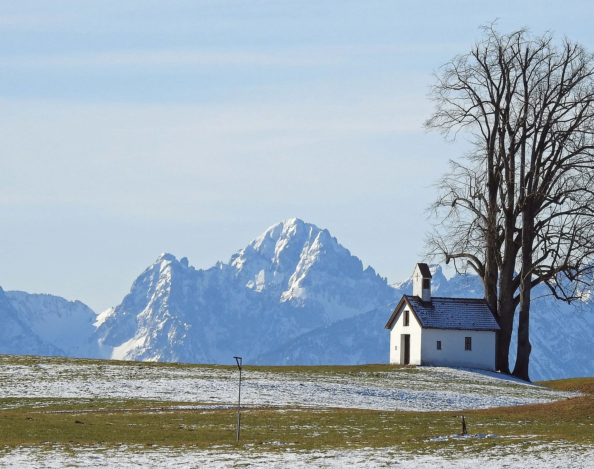
Immerse yourself in the stunning landscapes of the Oberpfalz region as you cycle through charming towns and enjoy picturesque viewpoints.
This scenic road cycling loop is perfect for cyclists who appreciate captivating landscapes and cultural heritage. With a total ascent of 668 meters and a distance of 62 kilometers, it offers a moderately challenging ride suitable for well-trained amateurs. Highlights along the route include Pilsheim, Juradistl-Landschaftskino, and Premierberg. The difficulty level is moderate, suitable for well-trained amateurs. It's rated 3 out of 5 in terms of epicness.
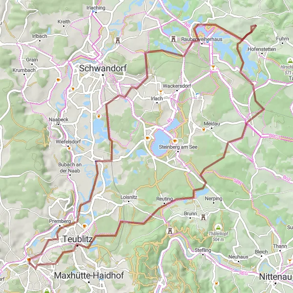
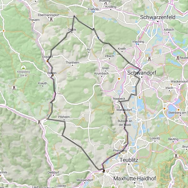
Embark on a thrilling gravel ride to explore Premberg and Teublitz, uncovering hidden gems along the way
Delve into the enchanting landscapes surrounding Burglengenfeld as you embark on this gravel adventure. Begin with a visit to Premberg, a charming village known for its quaint appeal. Pedal through Münchshofen and soak in its idyllic atmosphere. Enjoy mesmerizing vistas of Kronstetten from an elevated vantage point before continuing your journey. Relax and experience the tranquility at Kemnathermühle as you revel in the serene ambiance. Discover the rural charm of Warmersdorf as you make your way through its scenic trails. Conclude your ride in Teublitz, where the charming Pavillon awaits, offering a perfect setting to unwind after a fulfilling cycling experience.
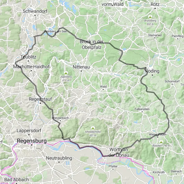
Embark on a challenging road cycling journey to the scenic viewpoints of Viechtberg and Donaustauf.
This road cycling loop is designed for experienced cyclists seeking a challenge. With a total ascent of 1,654 meters and a distance of 133 kilometers, it offers a strenuous yet rewarding adventure through the Oberpfalz countryside. Highlights along the route include Münchshofen, Viechtberg, Donaustauf, and the Schlossbergturm. The difficulty level is high, suitable for well-trained amateurs. It's rated 5 out of 5 in terms of epicness.
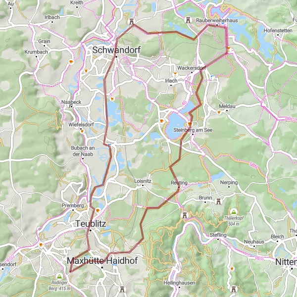
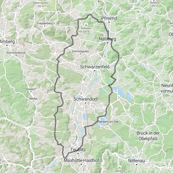
Escape into nature with this gravel route through picturesque Schwammerling and Steinberg am See.
Embark on a thrilling gravel adventure through the stunning landscapes of Schwammerling and Steinberg am See. This roughly 52-kilometer route offers a moderate challenge, with a total ascent of 358 meters. Enjoy the tranquility of the pavilion in Teublitz and explore the historic charm of Schwandorf along the way. The highlight of the journey is reaching the idyllic Steinberg am See, where you can marvel at its crystal-clear waters and unwind in its peaceful surroundings. With a difficulty rating of 3 and an epicness rating of 3, this route guarantees a memorable cycling experience in the heart of Oberpfalz.
Cycling routes nearby:


Nearby regions: