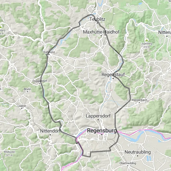
Cycling through the scenic Oberpfalz region in Germany
Cycling routes from Teublitz
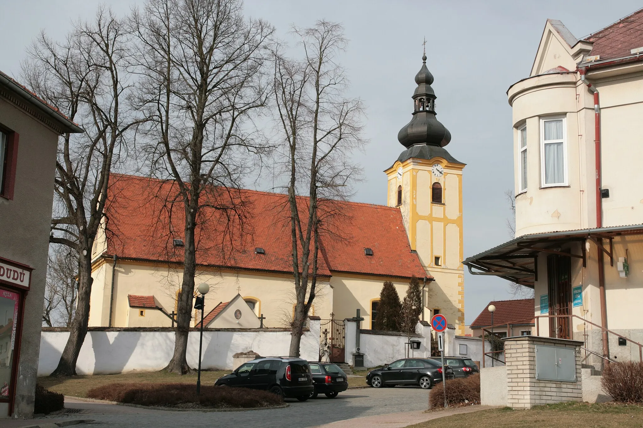
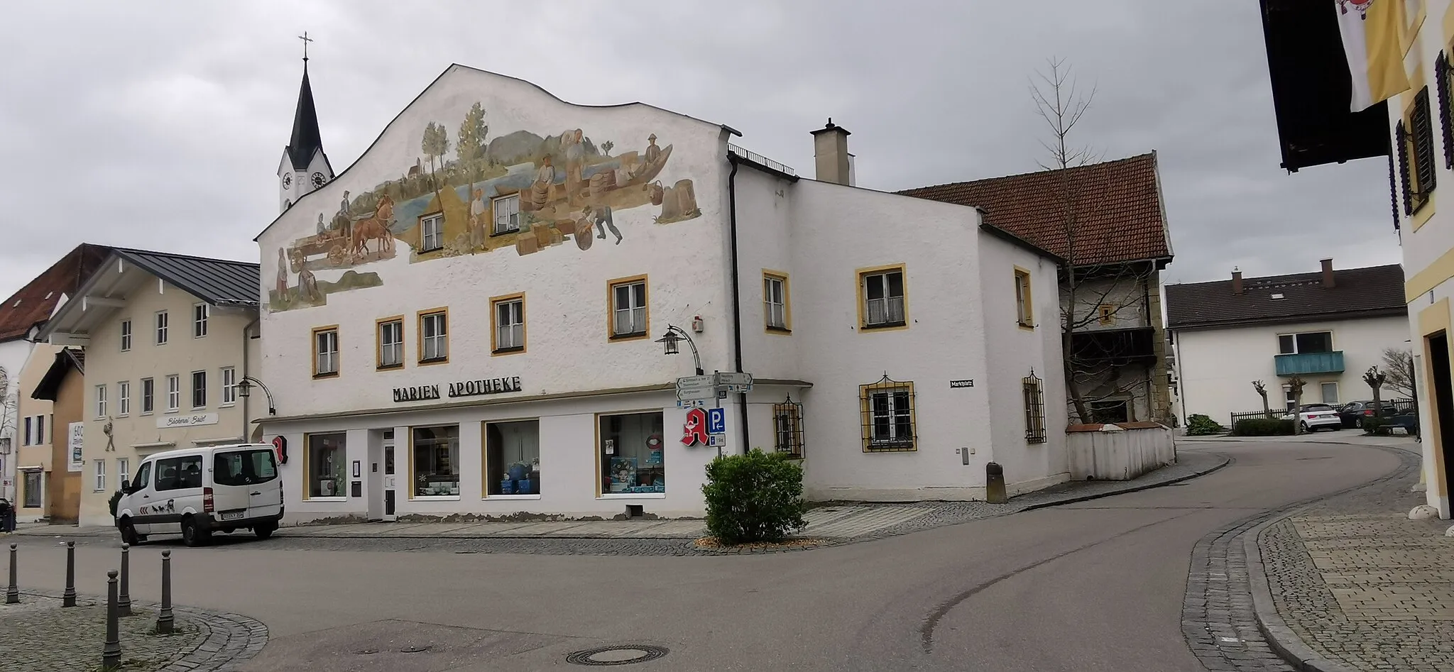
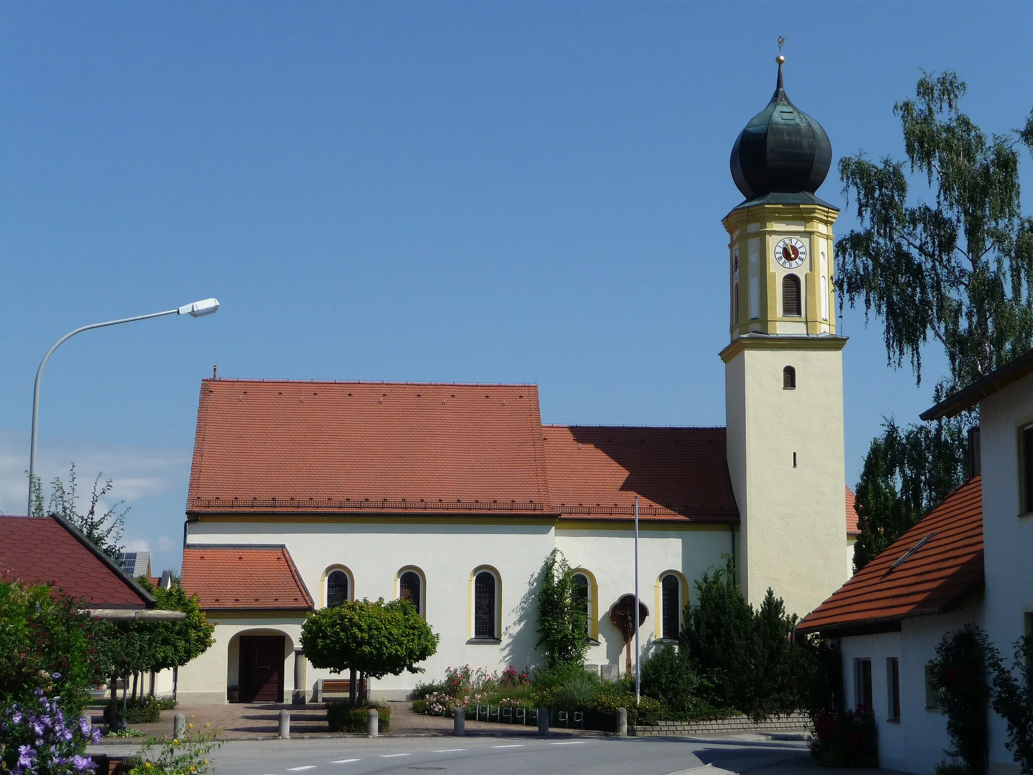
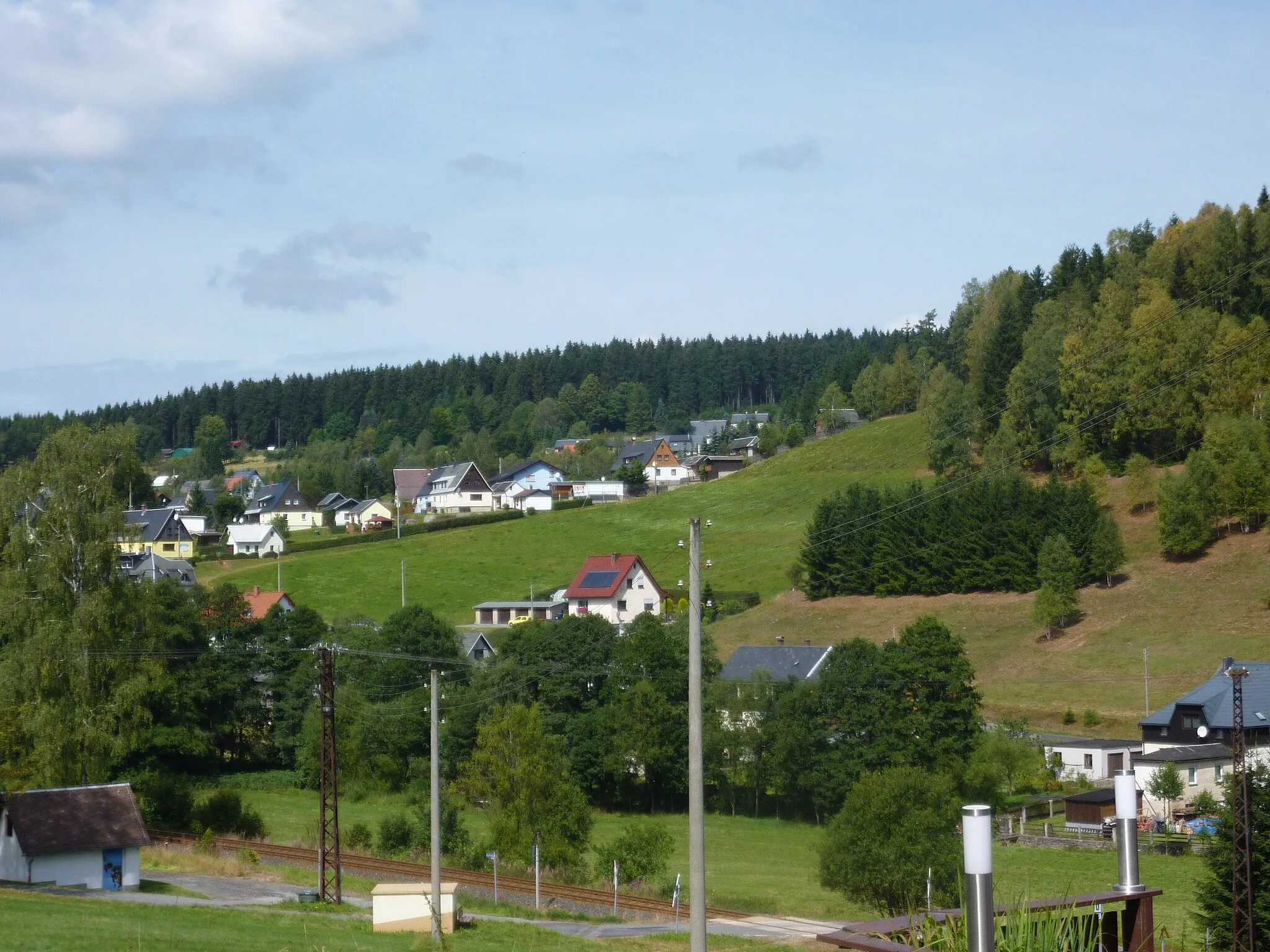
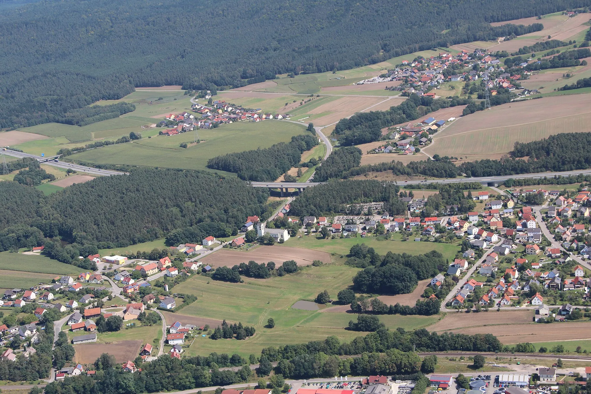
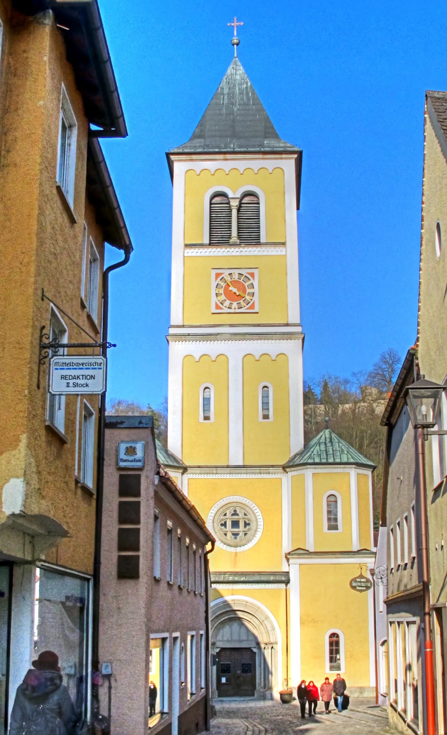
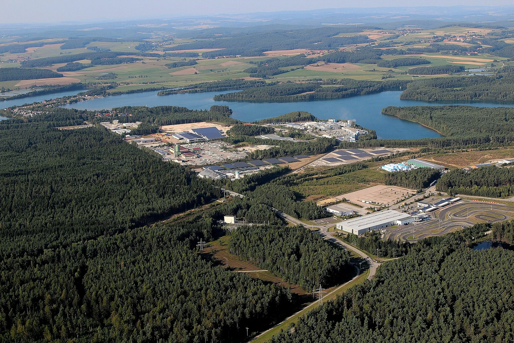
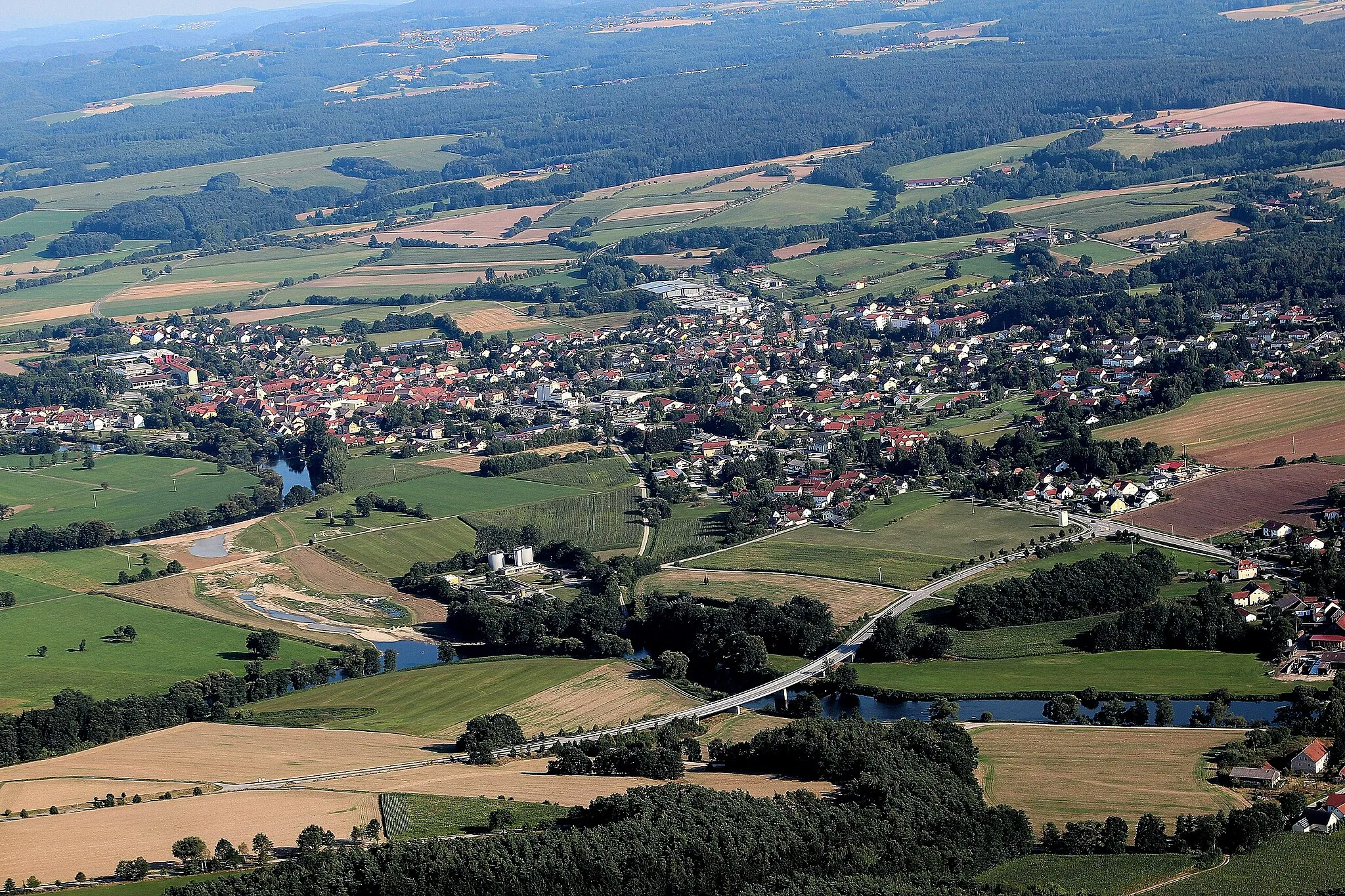
Teublitz is a small town located in the Oberpfalz region of Germany. From a cyclist's perspective, Teublitz offers a mix of rural roads and charming landscapes to explore. The area is fairly flat, making it suitable for all levels of cyclists. One of the highlights is the nearby Naab cycle path, which follows the course of the river Naab and provides scenic views along the way. Teublitz also serves as a gateway to the Bavarian Forest, offering more challenging routes for experienced cyclists. Overall, Teublitz is a pleasant destination for road and gravel cyclists looking to enjoy the beauty of the Oberpfalz region.
Enjoy a scenic road cycling experience through varied landscapes and historic attractions.
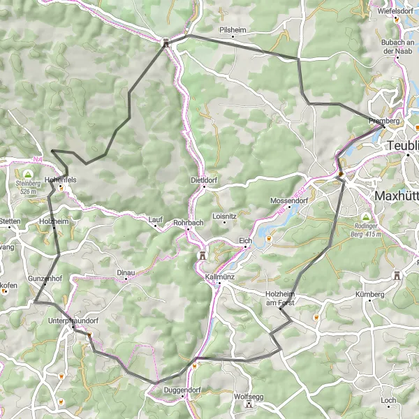
This 63-kilometer road cycling route takes you on a scenic tour through Teublitz and its surroundings. With an elevation gain of 942 meters, this route is best suited for more experienced cyclists. The highlights along the way include Holzheim am Forst, a tranquil village offering a taste of rural life; Duggendorf, a charming town known for its well-preserved architecture; Bergkreuz Gmaisberg, which rewards you with stunning vistas after a challenging climb; Hohenfels, home to an impressive medieval fortress; Kreuzbergfelsen, where you can enjoy magnificent views from the top; and, finally, Muenchshofener Berg and Premberg, where you can take in breathtaking panoramas before ending the ride.

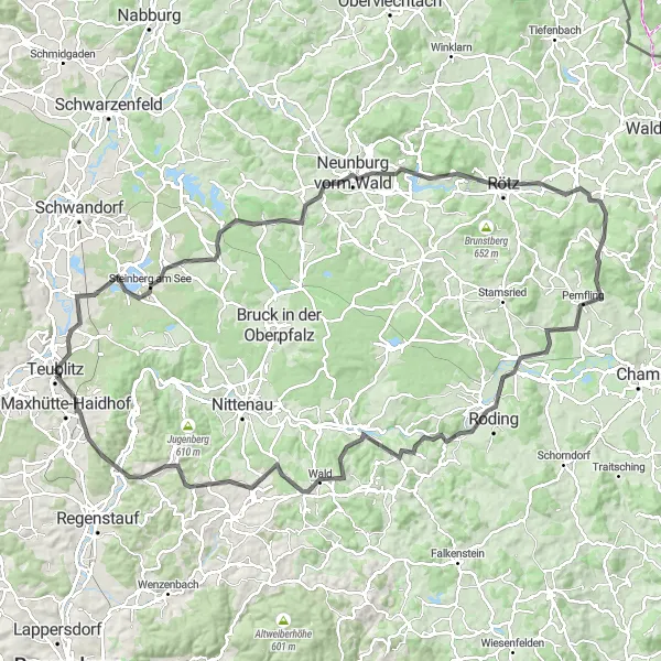
Embark on a tough gravel adventure that tests your endurance and rewards you with stunning views.
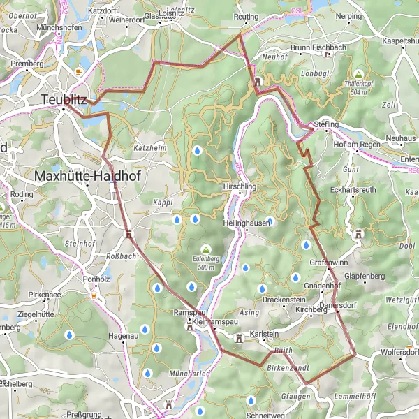
If you're looking for a challenge, this 61-kilometer gravel cycling route near Teublitz is the perfect choice. With an elevation gain of 807 meters, this route will push your cycling abilities to the limit. Highlights along the way include Teublitz itself, with its charming streets and welcoming atmosphere; Pavillon, a peaceful spot for a rest; Kreuzbergfelsen, where you can tackle a tough climb and enjoy breathtaking views; the picturesque town of Schmidmühlen; Berg, another challenging climb that rewards you with stunning panoramas; Leidersdorf, a quaint village with traditional architecture; and, finally, Muenchshofener Berg and Premberg, where you can savor accomplishment while taking in scenic landscapes.
The Gravel Adventure
Explore the ruins & hills of Oberpfalz
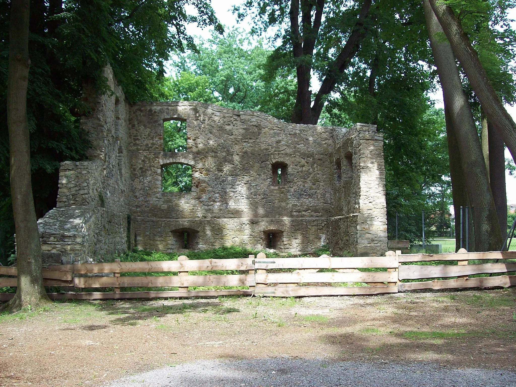
Embark on a thrilling gravel adventure through the hilly landscapes and ancient ruins of Oberpfalz. This 40 km route offers breathtaking views and challenging terrain along the way, perfect for gravel enthusiasts. Get ready for an unforgettable ride filled with historic highlights and natural wonders.
Ride through picturesque hilltop towns and enjoy scenic countryside views.
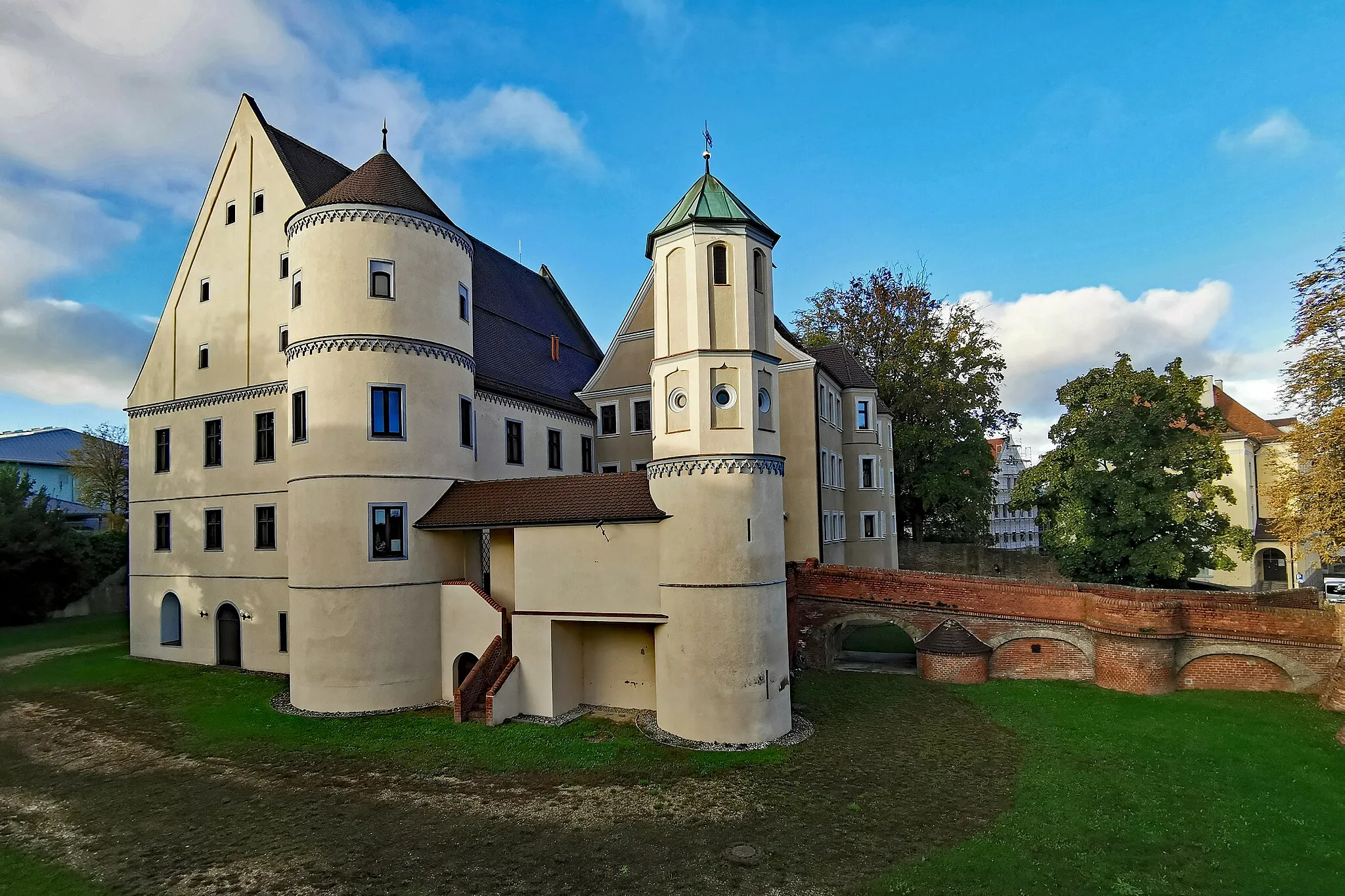
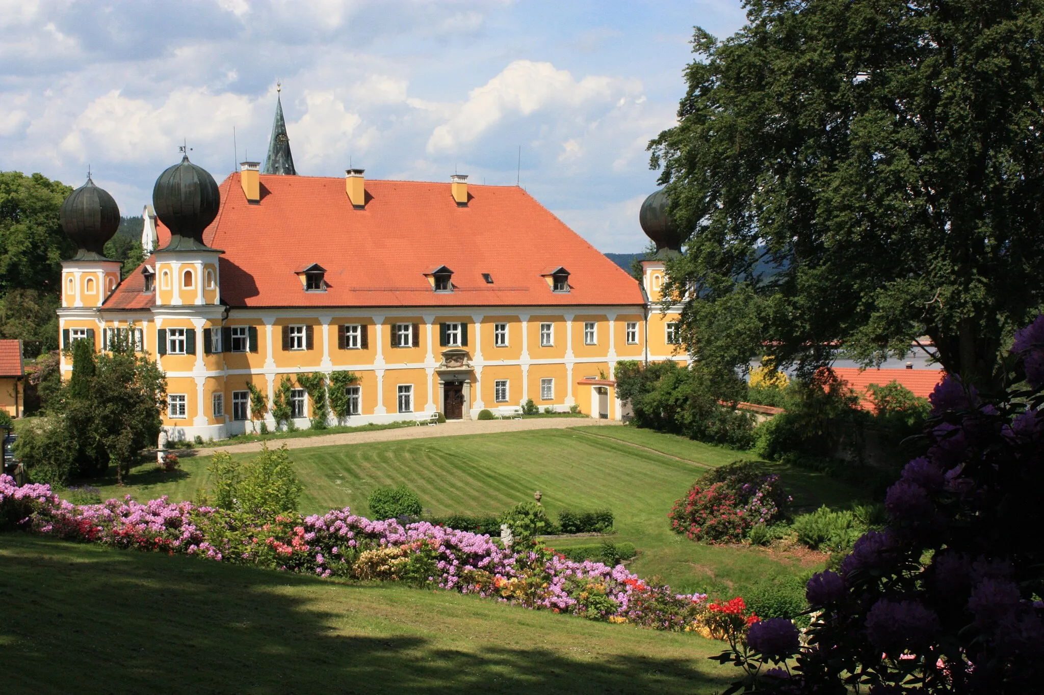
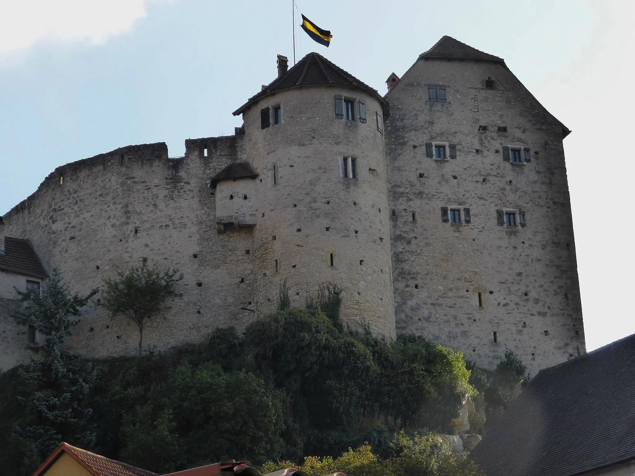
This road cycling route takes you through the charming hilltop towns near Teublitz in Oberpfalz, Germany. With a total distance of 81 kilometers and an altitude gain of 698 meters, this route is of moderate difficulty. The highlights along the route include the Muenchshofener Berg, known for its panoramic views, the historic Schlossbergturm (Castle Hill Tower), and the beautiful Schloss Pürkelgut. With an overall difficulty level of 3 and epicness rating of 4, this route offers a great combination of natural beauty and cultural heritage.

An epic road cycling adventure for the brave
Prepare for a thrilling road cycling adventure through the challenging hills of Oberpfalz. This 118 km route will test your stamina and skills, taking you through the undulating landscapes of the region. As you conquer the steep ascents and exhilarating descents, take in the beautiful scenery and make the most of the scenic highlights along the way.

Embark on an adventure through scenic gravel roads and discover the natural beauty of Oberpfalz.
This gravel cycling route near Teublitz covers a total distance of 60 kilometers, with an elevation gain of 844 meters. Get ready for an exciting adventure across the beautiful countryside of Oberpfalz. The highlights along the route include the idyllic Hof am Regen, offering a peaceful riverbank spot; the picturesque Lambertsneukirchen, known for its charming medieval architecture; the scenic viewpoint at Mühlberg, where you can pause to appreciate the panoramic views; and, of course, Teublitz, the starting point and endpoint of the route.

A scenic road cycling route showcasing the beauty of the Upper Palatinate region
This road cycling route near Teublitz takes you on a picturesque journey through the charming landscapes of the Upper Palatinate region in Germany. With a total distance of 83 km and an ascent of 1069 m, this route offers a moderate challenge for cyclists. Along the way, you'll encounter several highlights, including the town of Wackersdorf at the 15 km mark, known for its vibrant cultural events. At the 23 km mark, you'll pass Eigenberg, a historical village with well-preserved architecture. As you continue, you'll ride through Oberkonhof at the 36 km mark, where you can enjoy panoramic views of the surrounding countryside. Warnberg, Neunburg vorm Wald, and Teublitz are among the other notable highlights on this route.

Explore the lesser-known but fascinating sights of Oberpfalz on this gravel cycling route.
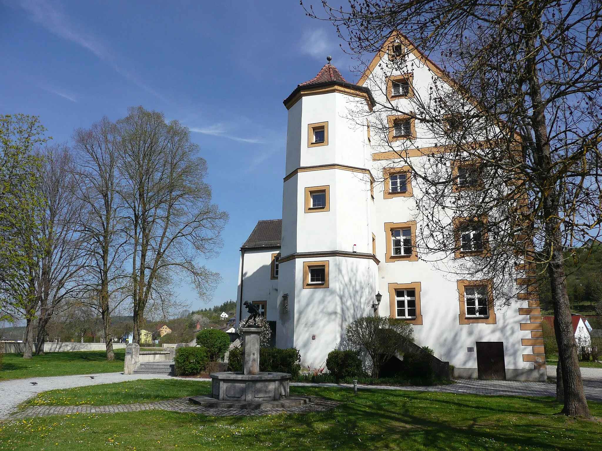
This 51-kilometer long gravel cycling route takes you on a journey through the hidden gems of Oberpfalz. With an altitude gain of 196 meters, this route offers a relatively easy and enjoyable ride. Highlights along the route include Schwammerling, known for its beautiful landscapes and tranquility; the impressive Schloss Fronberg, perched atop a hill overlooking the region; the viewpoint at Traunricht, offering a stunning perspective of the surroundings; the Kronstetten lookout point, rewarding you with panoramic views over the countryside; and, of course, Teublitz itself, where the route begins and ends.
A road cycling journey with scenic views
Embark on a road cycling journey from Teublitz, through the scenic landscapes of Oberpfalz. This 124 km route promises breathtaking views of lakes, charming villages, and challenging ascents. As you pedal your way through the varied terrain, immerse yourself in the beauty of nature and indulge in the serenity of the surroundings. Don't forget to stop by the remarkable highlights along the way.

Uncover the hidden gems on a gravel route
Embark on an adventurous gravel ride through the unexplored trails and hidden gems of Oberpfalz. This 83 km route promises exciting off-road experiences, taking you through diverse landscapes and enchanting ruins. Challenge yourself with the varying terrains and discover the beauty of Teublitz and its surroundings.
Cycling routes nearby:


Nearby regions: