Experience scenic cycling routes and visit the iconic Walhalla in Donaustauf.
Cycling routes from Donaustauf
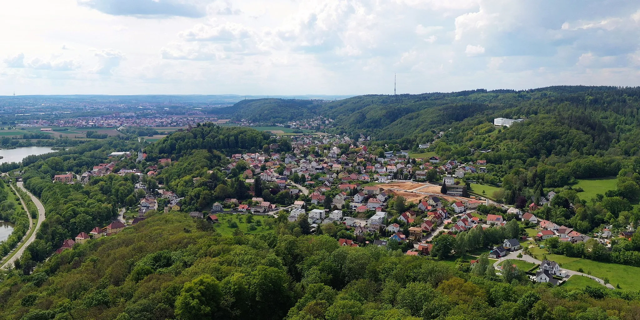
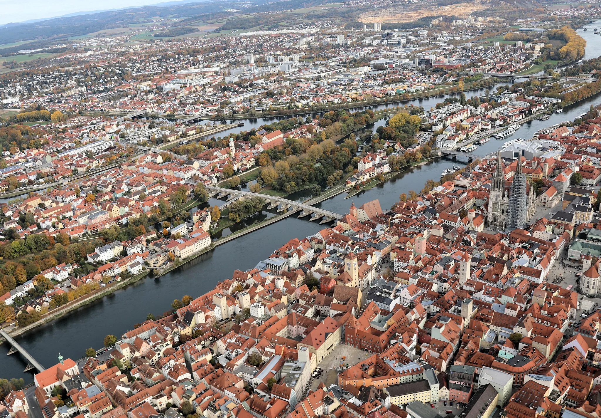
Donaustauf, located in the Oberpfalz region of Germany, is a cyclist's paradise. The locality is surrounded by the beautiful Danube River and offers stunning views of the Bavarian countryside. Road and gravel cyclists will find a variety of cycling routes to explore, including the renowned Danube Cycle Path. Donaustauf is home to Walhalla, a neoclassical hall of fame that is a popular tourist attraction. With its scenic routes and cultural landmarks, Donaustauf is a must-visit destination for cycling enthusiasts and tourists alike.
Embark on a thrilling gravel adventure, uncovering hidden gems of the Oberpfalz.
The Gravel Adventure in the Oberpfalz is a challenging off-road cycling route that covers 85km and includes an ascent of 1888m. Ideal for experienced gravel cyclists, this route takes you through diverse landscapes and offers amazing scenic views. Highlights along the route include Wenzenbach, a small village known for its charming half-timbered houses, and Reichenbach, where you can explore the ruins of an ancient castle. Sulzbach an der Donau, with its picturesque setting, is another highlight not to be missed.
Scenic Gravel Escape

Escape from the hustle and bustle with a scenic gravel ride in the Oberpfalz.
The Scenic Gravel Escape is a shorter gravel cycling route of 45km, featuring a moderate ascent of 779m. Ideal for intermediate gravel cyclists, this route takes you through scenic landscapes and hidden gems of the Oberpfalz region. Bernhardswald, with its charming market square, is a highlight along the way. The tranquil village of Pfaffenfang offers a peaceful setting for a break. Sulzbach an der Donau, known for its picturesque beauty, is another highlight not to be missed.
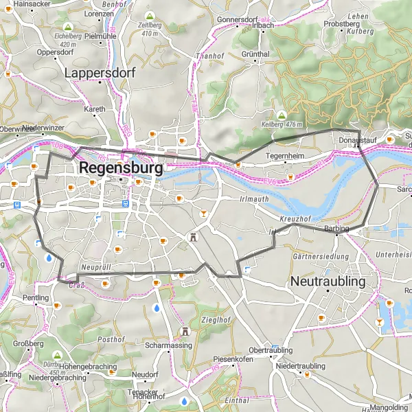
Embark on a scenic road cycling journey through the Donautal region near Donaustauf!
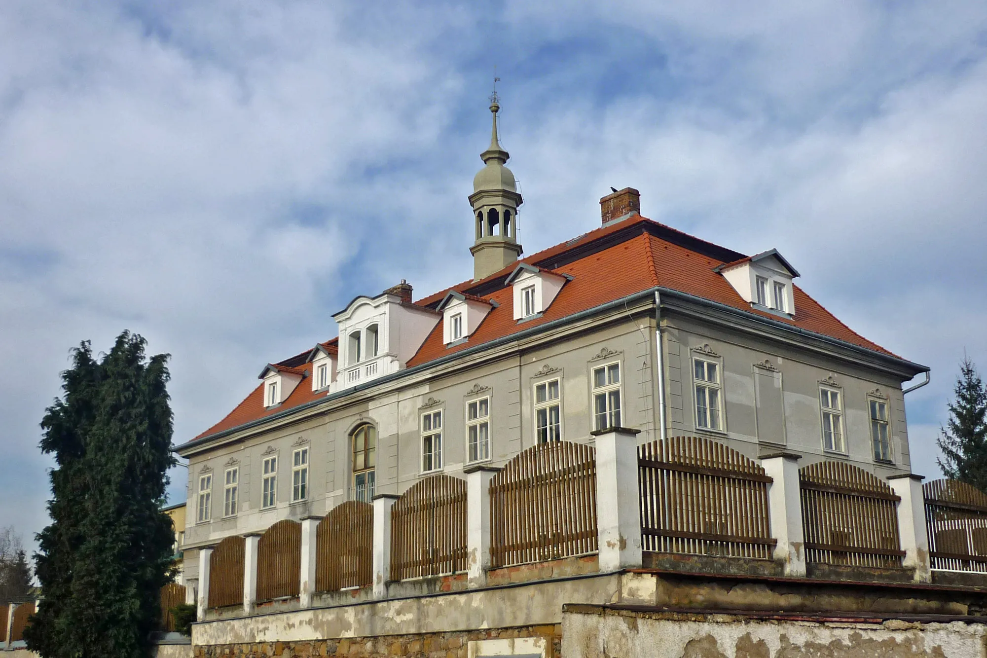
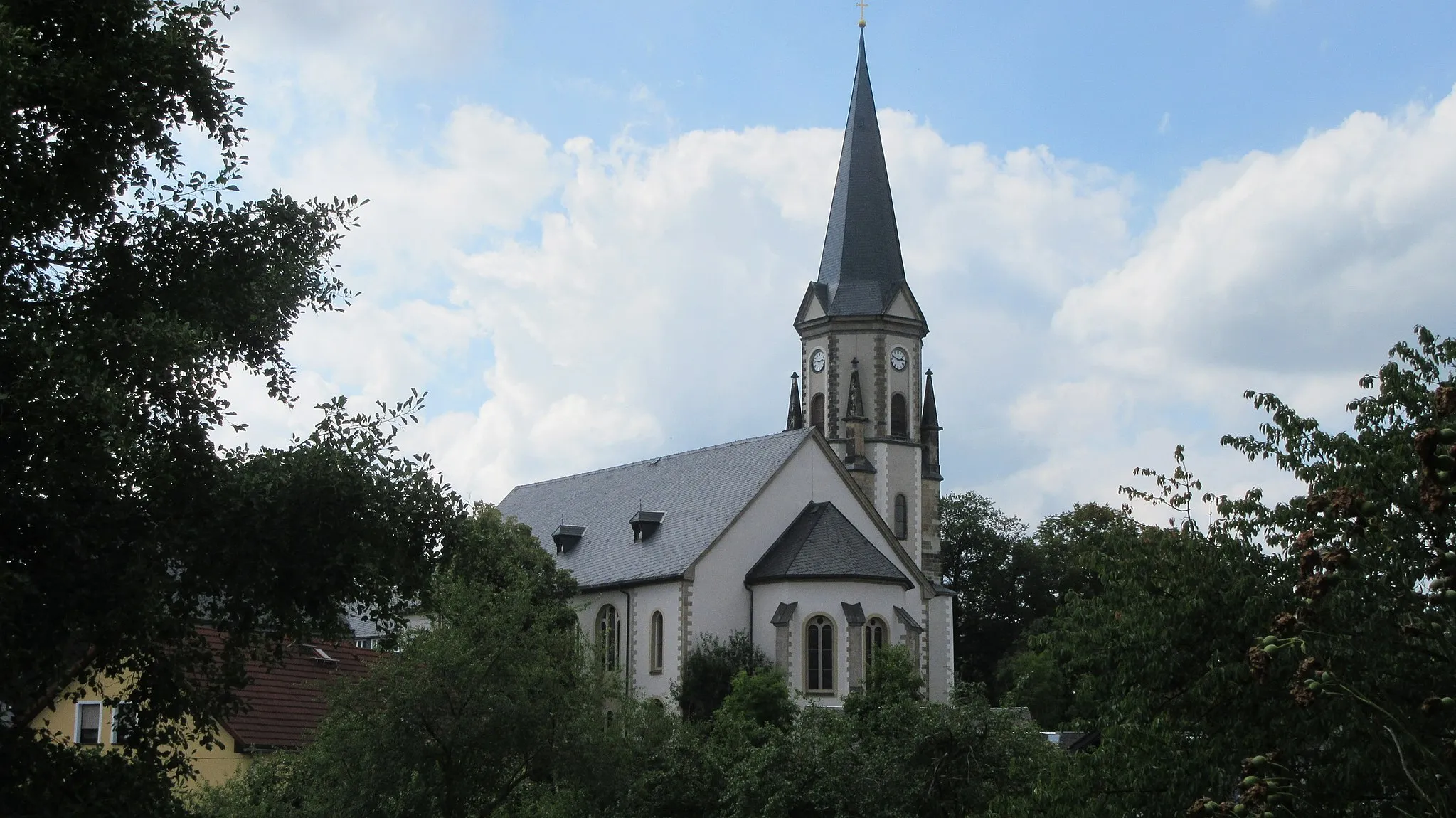
Experience the beauty of Donautal on this moderate road cycling route starting near Donaustauf. With an elevation gain of 212 meters and a distance of 34 kilometers, this loop provides an enjoyable ride for cyclists of all levels. The route showcases the charming villages of Barbing, Ziegetsberg, Dechbetten, and Regensburg. Picturesque Regensburg, known for its UNESCO World Heritage Site status, offers a glimpse into its rich historical past through its ancient architecture and narrow winding streets. The route also passes by the magnificent Keilstein rock formation, offering panoramic vistas of the surrounding countryside. Suitable for road bikes, this route is perfect for a leisurely day of exploration.
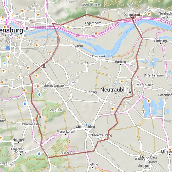
Journey through history on this fascinating gravel tour.
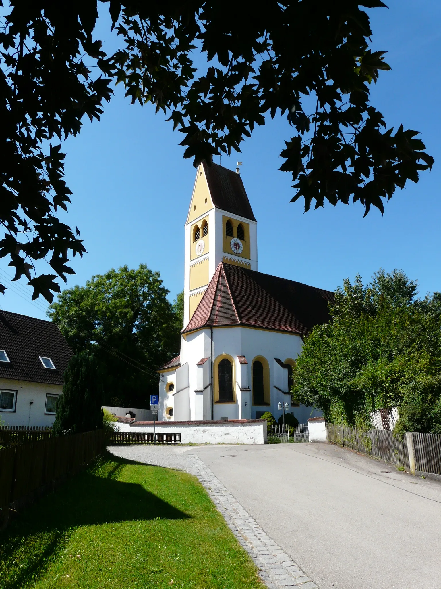
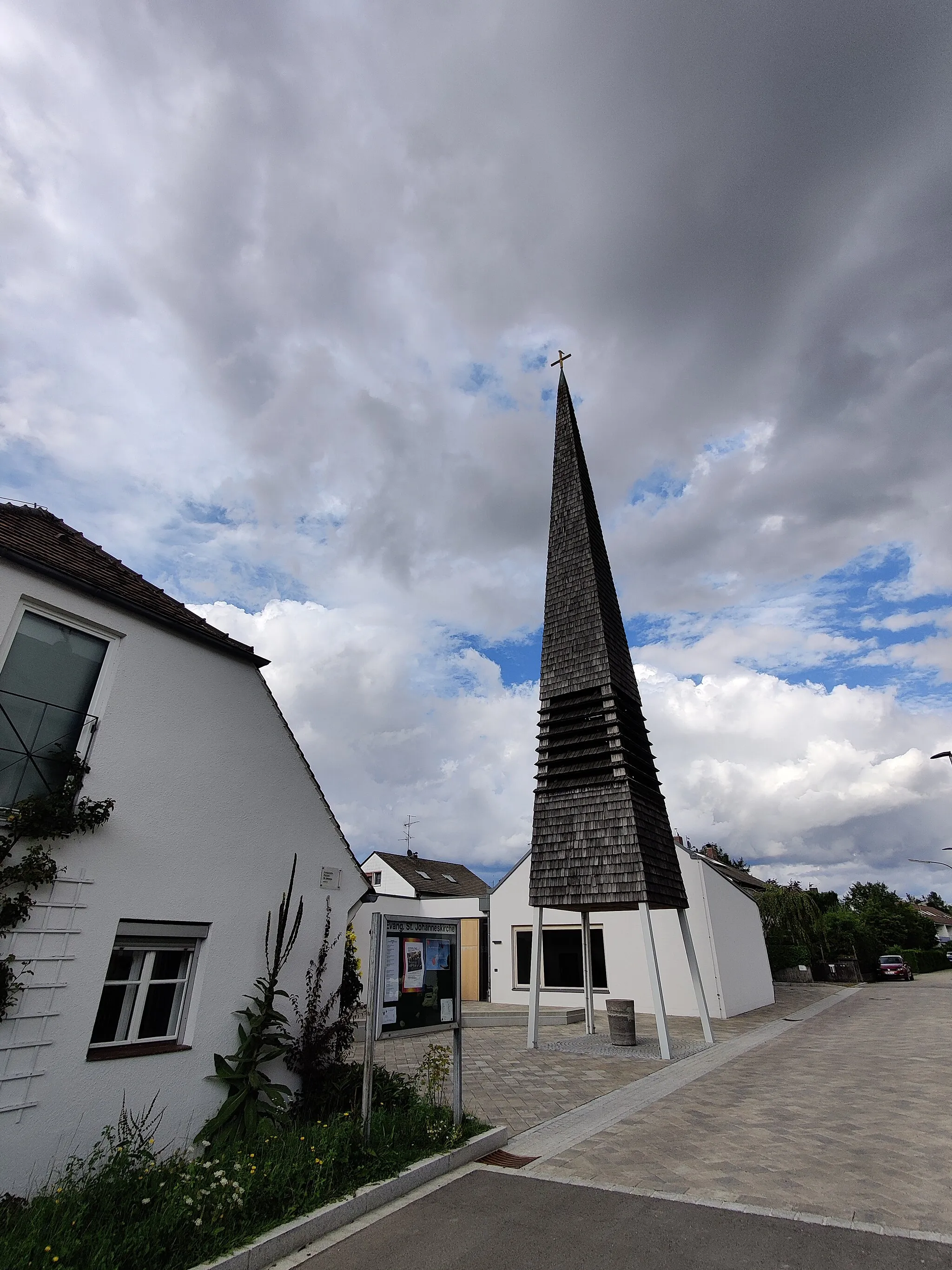
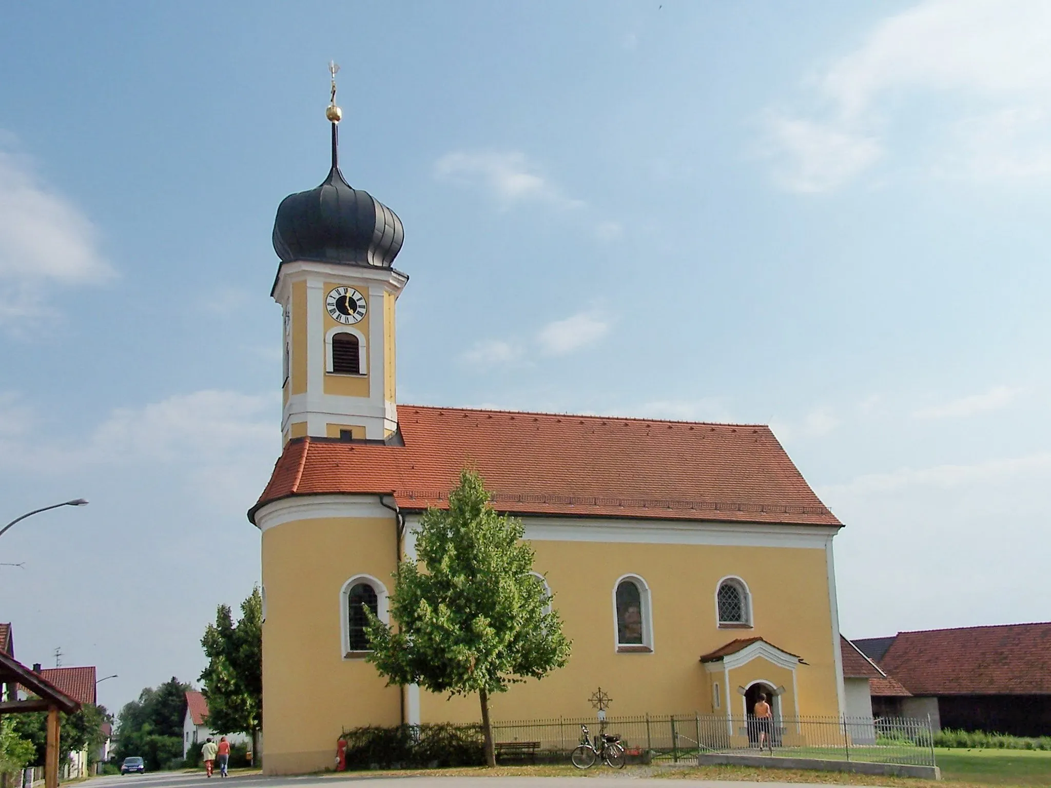
The Historic Gravel Tour is a shorter route of 36km, featuring a gentle ascent of 87m. Perfect for beginners or those looking for a leisurely ride, this route takes you through picturesque landscapes and historic sites. Sarching, a small village with a rich history, is a highlight along the way. Sengkofen enchants with its traditional Bavarian architecture. The Burgruine Donaustauf, the ruins of a medieval castle, is a must-visit and offers panoramic views of the surrounding area.
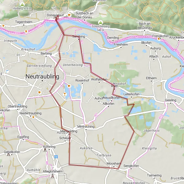
Venture into the Danube Valley on this scenic gravel route starting near Donaustauf!
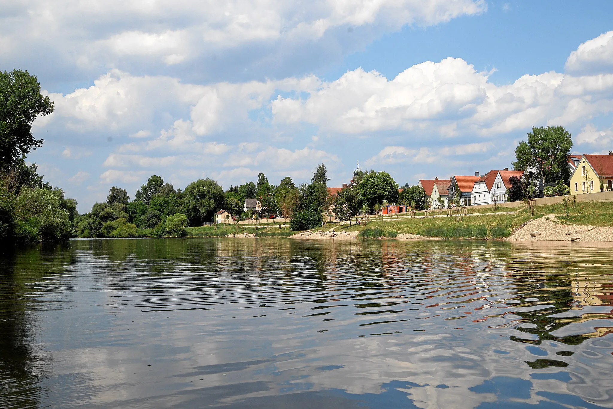
Explore the captivating beauty of the Danube Valley on this gravel cycling route starting near Donaustauf. With an elevation gain of 173 meters and a distance of 31 kilometers, this picturesque ride offers a delightful escape to nature. Neutraubling, at 6 kilometers, charms with its peaceful setting along the Danube River. Schloss Höfling, located at 17 kilometers, invites visitors to discover its magnificent castle and lush gardens. The route also offers a scenic view of the Keilstein rock formation at the 26-kilometer mark, where cyclists can take a moment to revel in the natural beauty. From its tranquil start to its panoramic highlights, this gravel route promises a refreshing and rejuvenating cycling experience.
Donautal Route
Explore the beautiful Donautal valley with its stunning scenery.
The Donautal Route takes you through the charming landscapes of the Oberpfalz region. With a total distance of 85km and an ascent of 1431m, this road cycling route offers a challenging ride for experienced cyclists. The highlight of this route is the Nepal Himalaya Pavilion, where you can take a break and enjoy the unique atmosphere. Sulzbach an der Donau is another highlight along the route, known for its picturesque beauty.
Danube Gravel Adventure
Explore the scenic beauty of Oberpfalz on this challenging gravel route!
Discover the hidden gems of Oberpfalz on this adventurous gravel route starting near Donaustauf. With a total ascent of 806 meters and a distance of 85 kilometers, this route offers a challenging and rewarding cycling experience. The picturesque villages of Mangolding, Schierling, Herrngiersdorf, Bad Abbach, Dürrbuckel, and Tegernheim are some of the highlights along the way, showcasing the region's rich cultural heritage and natural beauty. Suitable for gravel bikes, this route promises a unique and memorable cycling adventure.
Panoramic Bavarian Ride

Embark on a scenic road journey through picturesque Bavarian countryside near Donaustauf!
Immerse yourself in the stunning beauty of Bavaria on this road cycling route starting near Donaustauf. With an elevation gain of 582 meters and a distance of 67 kilometers, this scenic ride takes you through picturesque landscapes and charming villages. Regensburg, situated at 9 kilometers, invites cyclists to explore its well-preserved medieval architecture and enjoy a stroll along the banks of the Danube River. Pielenhofen, located at 23 kilometers, captivates with its impressive castle overlooking the peaceful countryside. Holzheim am Forst at 38 kilometers offers a tranquil setting for cyclists to soak in the natural beauty of the Bavarian forests. Keilberg, at a elevation of 62 kilometers, promises stunning views and a memorable climbing experience. Finally, Tegernheim greets cyclists at the end of the route with its warm Bavarian hospitality and friendly locals.
Castle and Countryside Tour
Indulge in a picturesque road journey through scenic countryside and historic castles!
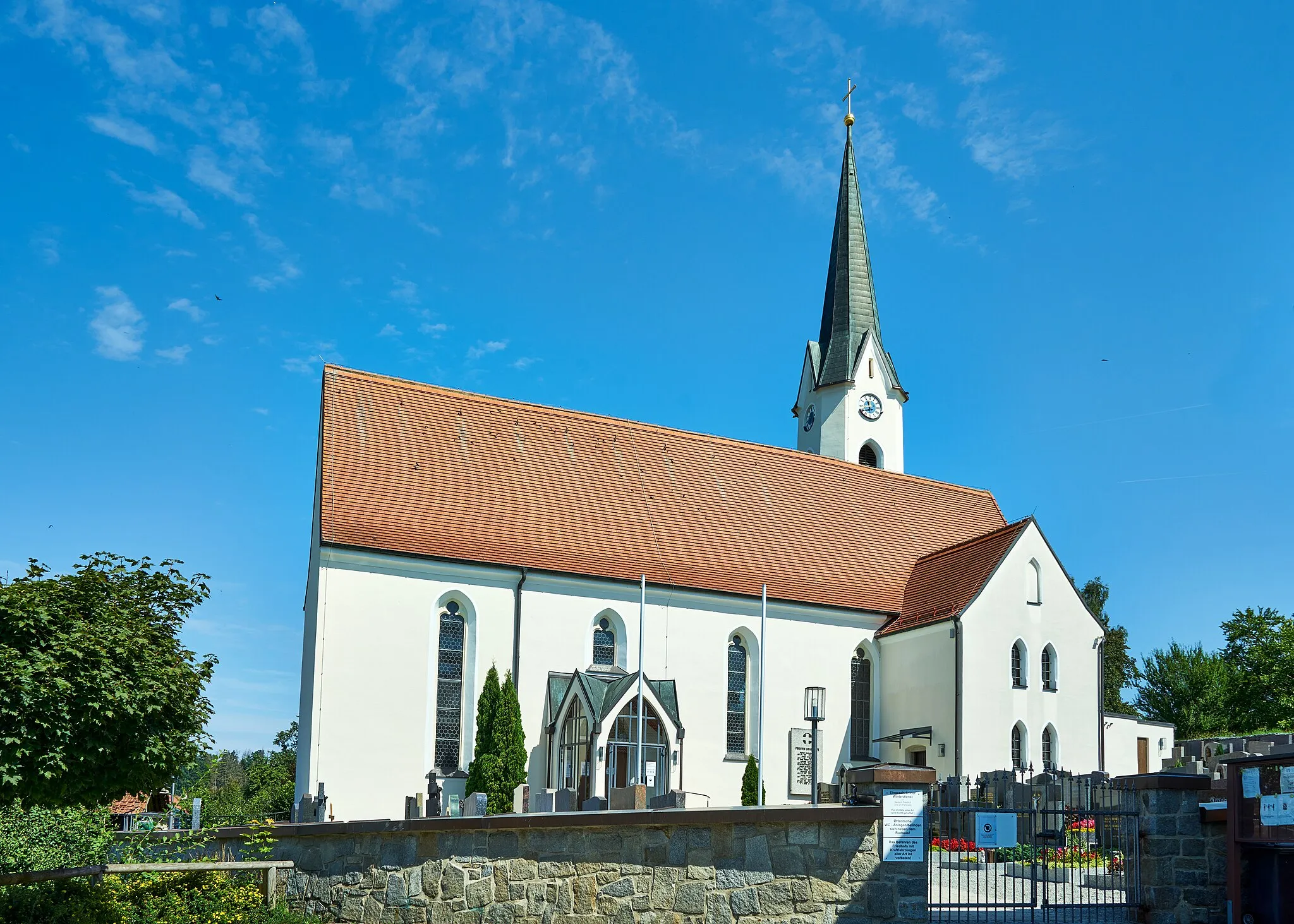
Embark on a memorable road cycling adventure through beautiful countryside and explore historic castles near Donaustauf. With an elevation gain of 585 meters and a distance of 63 kilometers, this route showcases the enchanting villages of Barbing, Ziegetsberg, Dechbetten, Pielenhofen, Regendorf, Zeitlberg, and Tegernheim. Barbing, known for its picturesque castle, offers a glimpse into medieval times at just 4 kilometers from the start. Ziegetsberg treats cyclists to stunning panoramic views of the Donautal region and rural Bavarian landscape at the 16-kilometer mark. Dechbetten, located at 18 kilometers, boasts tranquil rural surroundings and breathtaking vistas. Pielenhofen, situated at 33 kilometers, entices cyclists with its magnificent castle perched atop a hill. Regendorf, at 47 kilometers, captivates with its historic charm and well-preserved buildings. Zeitlberg, at 50 kilometers, dazzles with its panoramic views and tranquil ambiance. Keilberg, at an elevation of 58 kilometers, presents an exciting challenge for climbers with its steep inclines and rewards with unmatched vistas. Tegernheim, at 60 kilometers, welcomes weary cyclists with its warm Bavarian hospitality and traditional charm.
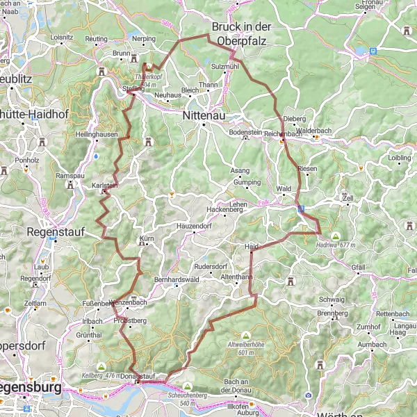
Gravel ride through beautiful landscapes and challenging ascents
This round-trip cycling route near Donaustauf offers a unique and challenging experience for gravel cyclists. With a total distance of 142 kilometers and an ascent of 1815 meters, this tour will test the skills and endurance of even the most well-trained amateurs. The route showcases some of the most picturesque landscapes in the Oberpfalz region of Germany.
Cycling routes nearby:


Nearby regions: