Cycling Paradise in Oberpfalz, Germany
Cycling routes from Tegernheim
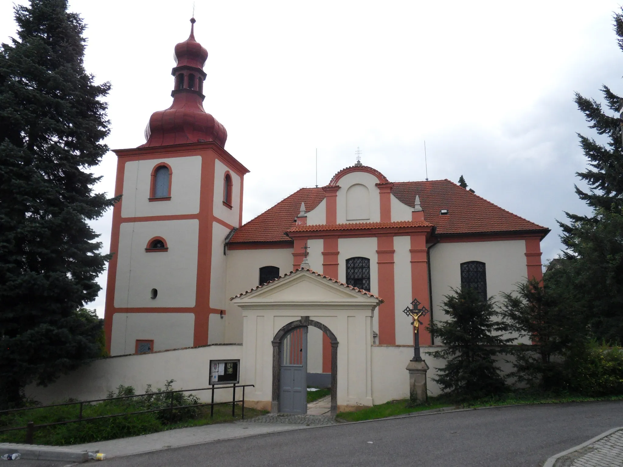
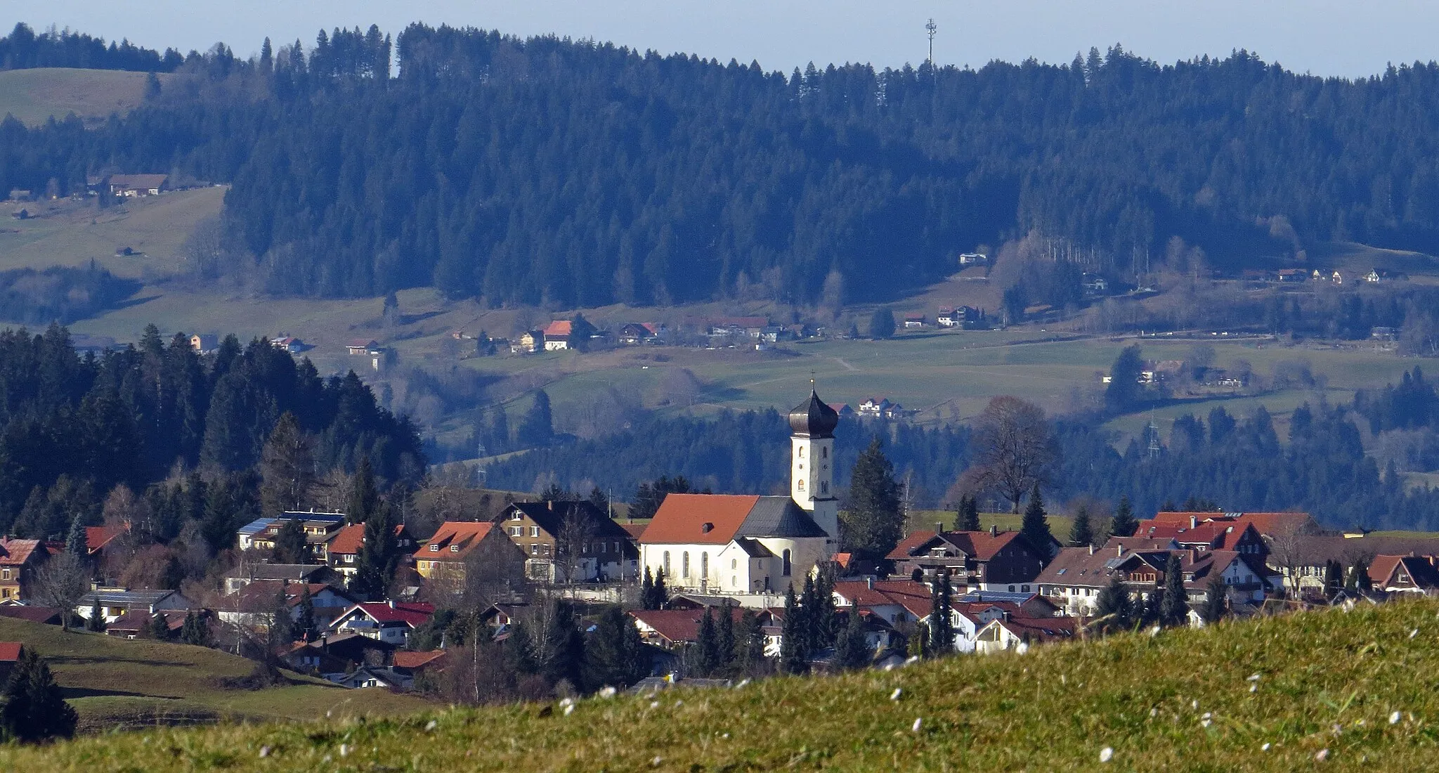
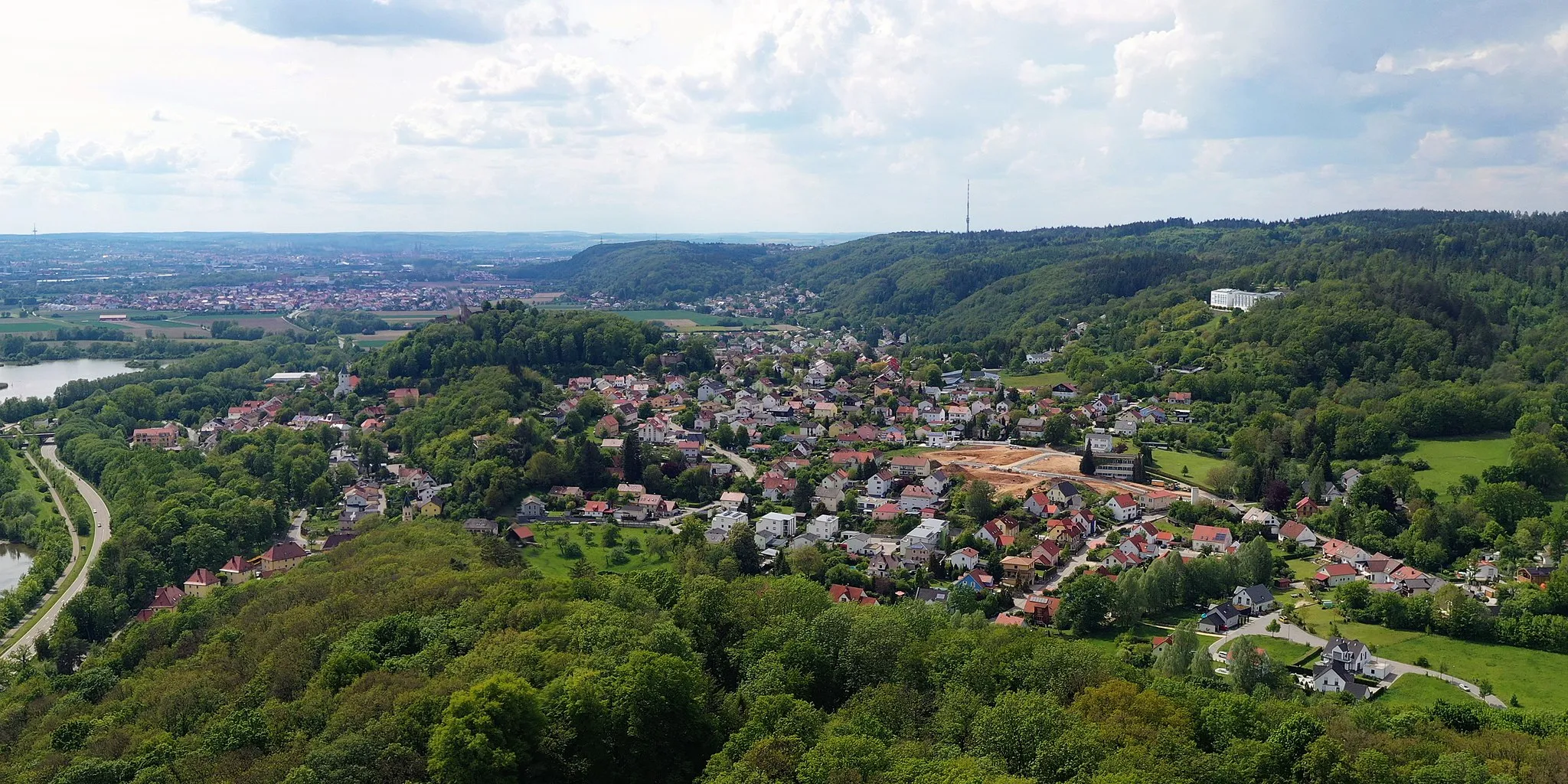
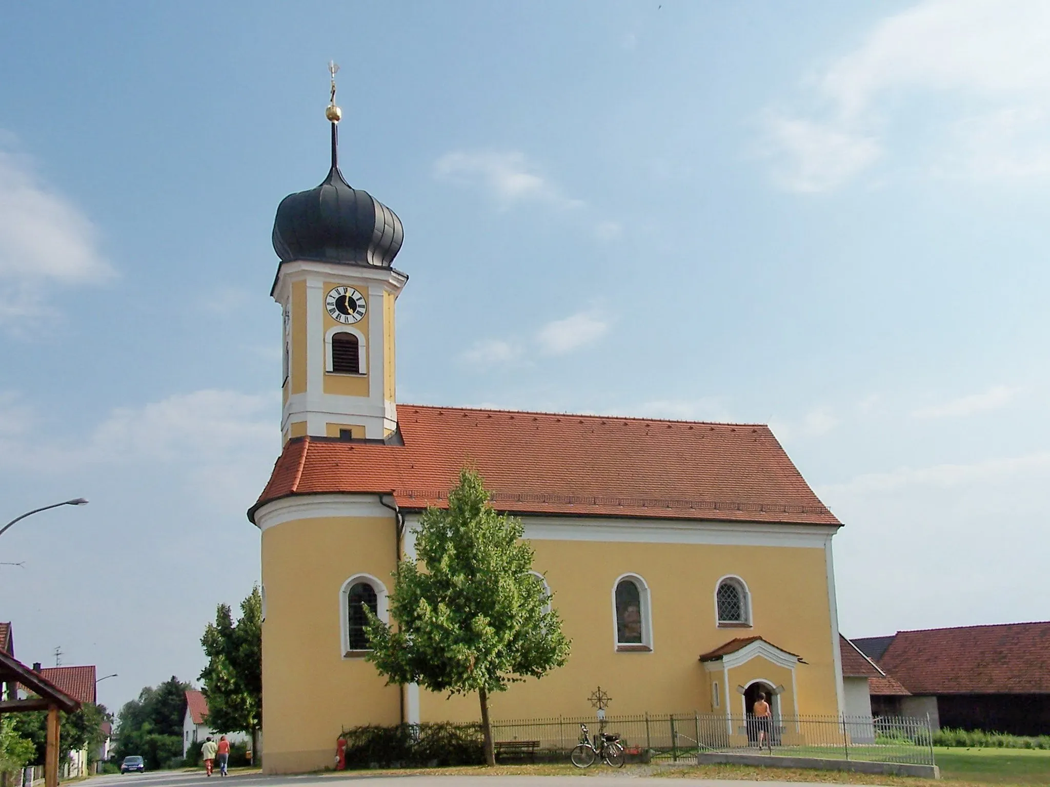
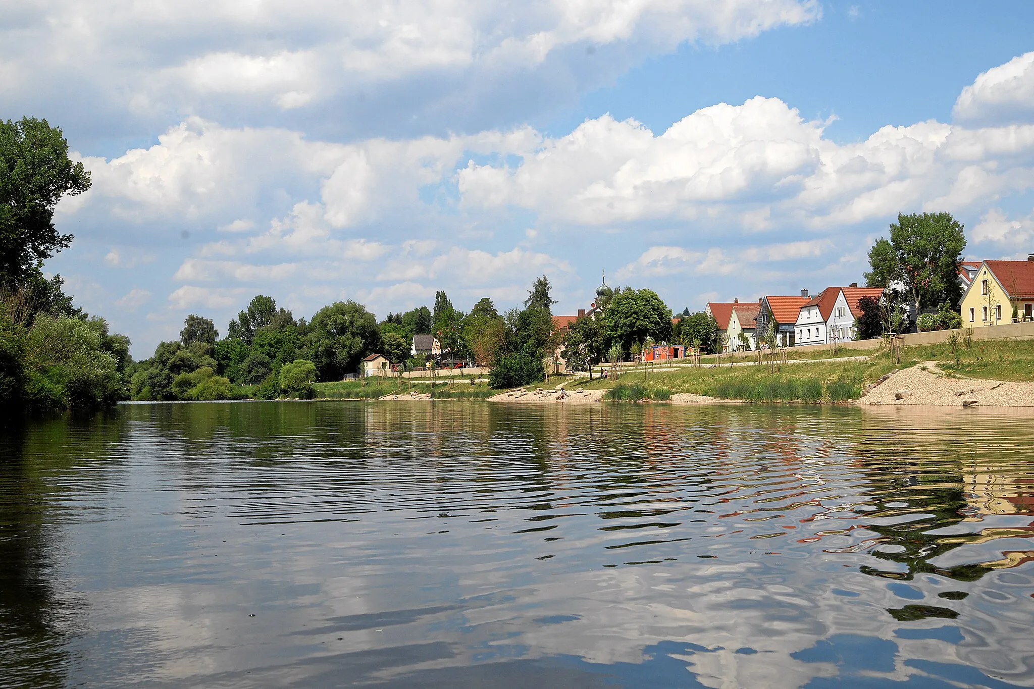
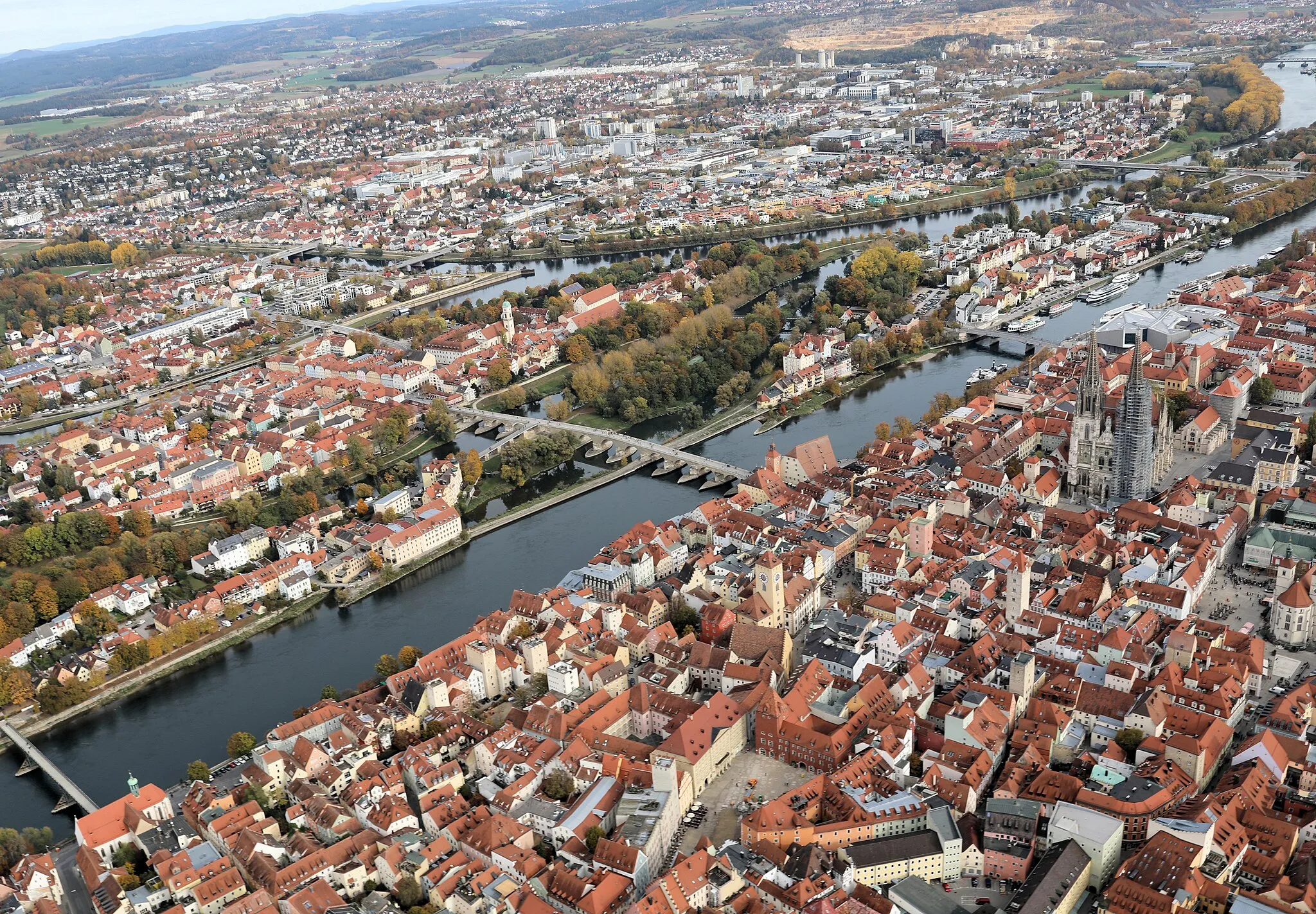
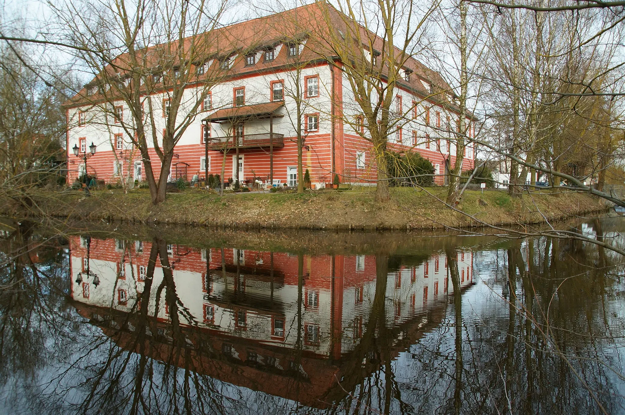
Tegernheim is a locality in Oberpfalz, Germany. As a road and gravel cyclist, you'll find a variety of routes to explore in the surrounding area. The landscape offers peaceful countryside roads and challenging climbs. With its picturesque views and well-maintained roads, Tegernheim is a great destination for cycling enthusiasts. One of the well-known cycling spots nearby is the Danube Cycle Path, which passes through the region. This path offers scenic views along the Danube River and is suitable for both road and gravel cycling. Overall, Tegernheim ranks 4 in terms of being a cycling-friendly locality.
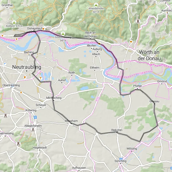
Enjoy a leisurely ride along the river on this road cycling route
Embark on a leisurely riverside escape with this road cycling route. Covering a distance of 59 kilometers and featuring a gentle ascent of 67 meters, it is suitable for riders of all skill levels. Along the route, you will discover highlights such as the Scheuchenberg, where you can enjoy panoramic views of the surrounding landscapes. The route also takes you through the picturesque village of Pfatter and the charming town of Riekofen. Don't miss the opportunity to visit Tegernheim, a hidden gem on the banks of the river. With its scenic beauty and peaceful atmosphere, this route offers a refreshing escape from everyday life.
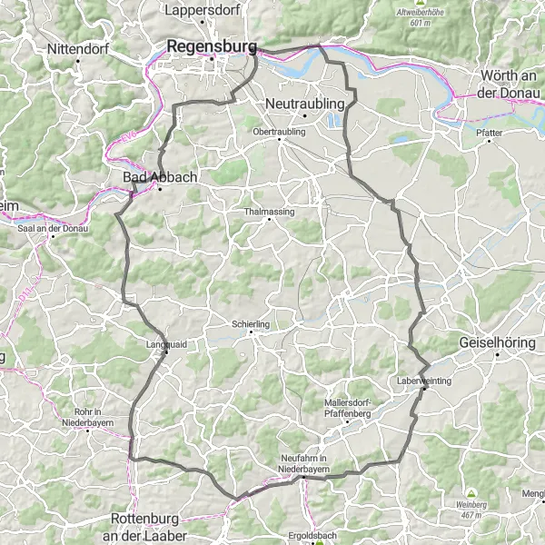
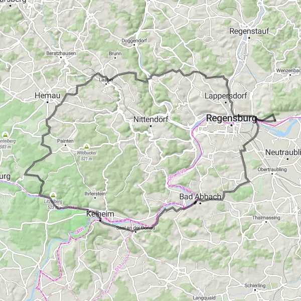
Embark on a challenging road cycling adventure through Tegernheim and its surroundings
This road cycling route starting near Tegernheim takes you on a scenic journey through diverse landscapes and quaint villages. With 112 kilometers in distance and 724 meters of ascent, this route is ideal for experienced road cyclists seeking a challenging ride. The highlight of the route is the visit to Tegernheim, where you can appreciate its historical charm and picturesque setting. Overall, this route is moderately difficult and has a moderate epicness level.
Historical Route
Ride through centuries of history on this road cycling adventure
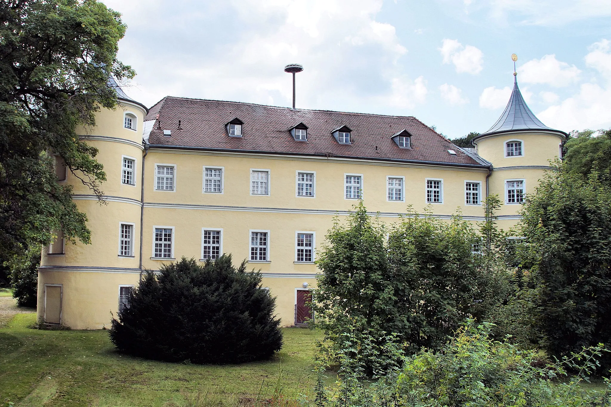
Immerse yourself in the rich history of the region with this road cycling route. With a challenging ascent of 975 meters and covering a distance of 103 kilometers, it is best suited for well-trained amateur riders. Along the route, you will encounter highlights such as Teufelsfelsen, Maifelsen, and Schloss Maierhofen, where you can admire historical landmarks and enjoy breathtaking views. This epic route also takes you to Affecking, known for its historical significance. With its diverse highlights and historical charm, this route is a must-ride for history enthusiasts and avid cyclists alike.
Discovering Nature
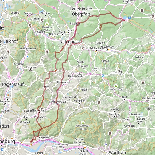
Immerse yourself in nature on this gravel adventure
Get closer to nature with this gravel route that spans 61 kilometers and includes a challenging ascent of 745 meters. Ideal for riders looking for a scenic and challenging adventure, this route takes you through various natural highlights such as Winzerer Höhen and Trischlberg. Explore the picturesque village of Roding, known for its beautiful landscapes and tranquility. Discover the stunning Schlossbergturm and Regenstein along the way, offering panoramic views of the surrounding area. Finish your journey in Tegernheim, where you can relax and soak in the natural beauty of the region.
Experience breathtaking panoramas on this gravel route
Embark on a panoramic adventure with this challenging gravel route. Covering a distance of 83 kilometers and featuring a demanding climb of 1293 meters, this route is best suited for experienced riders seeking a thrilling cycling experience. Along the way, you will encounter highlights such as Pettenreuth, known for its stunning views, and Nittenau, offering a glimpse of the region's natural beauty. Don't miss the opportunity to admire the picturesque landscapes from the Alpenblick viewpoint during clear weather conditions. Finish your journey in Tegernheim, where you can unwind and reflect on the incredible panoramas you experienced throughout the ride.
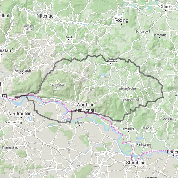
Conquer the Falkenfels challenge and be rewarded with breathtaking views
This road cycling route starting near Tegernheim is a challenging adventure through scenic landscapes and historic sites. With 103 kilometers in distance and 1426 meters of ascent, this route is ideal for experienced road cyclists seeking a demanding ride. The highlight of the route includes the visit to Falkenfels, where you can explore the ancient Falkenfels Castle and enjoy stunning views of the surrounding countryside. Overall, this route is moderately difficult and has a high epicness level.

Take on the challenge of the Riekofen circuit and conquer the stunning landscapes
This road cycling route starting near Tegernheim is a challenging adventure through scenic landscapes and enchanting villages. With 119 kilometers in distance and 1179 meters of ascent, this route is suitable for experienced road cyclists seeking a demanding ride. The highlight of the route includes the visit to Altenthann, where you can explore historical sites and soak in the natural beauty of the region. Overall, this route is moderately difficult and has a high epicness level.
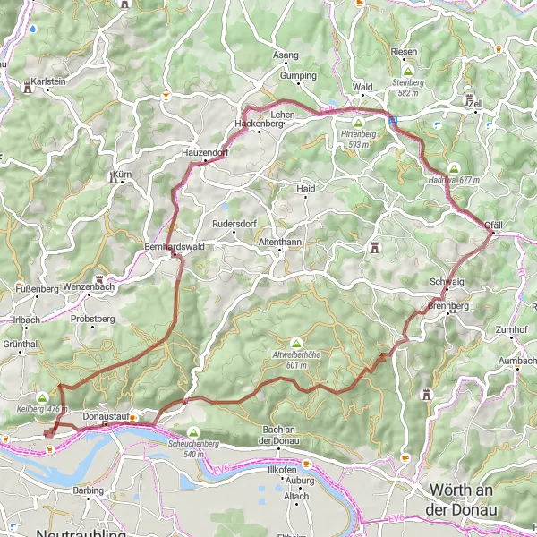
Embark on a gravel adventure to discover the hidden gems of Brennberg
This gravel route starting near Tegernheim takes you through scenic landscapes and historical sites. With 58 kilometers in distance and 870 meters of ascent, this route offers a challenging but rewarding experience for gravel cyclists. The highlight of the route is the visit to Brennberg, where you can explore the Burgruine Brennberg and immerse yourself in the region's history. Overall, this route is moderately difficult and has a high epicness level.
Danube Adventure

Explore the beautiful Danube region on this gravel route
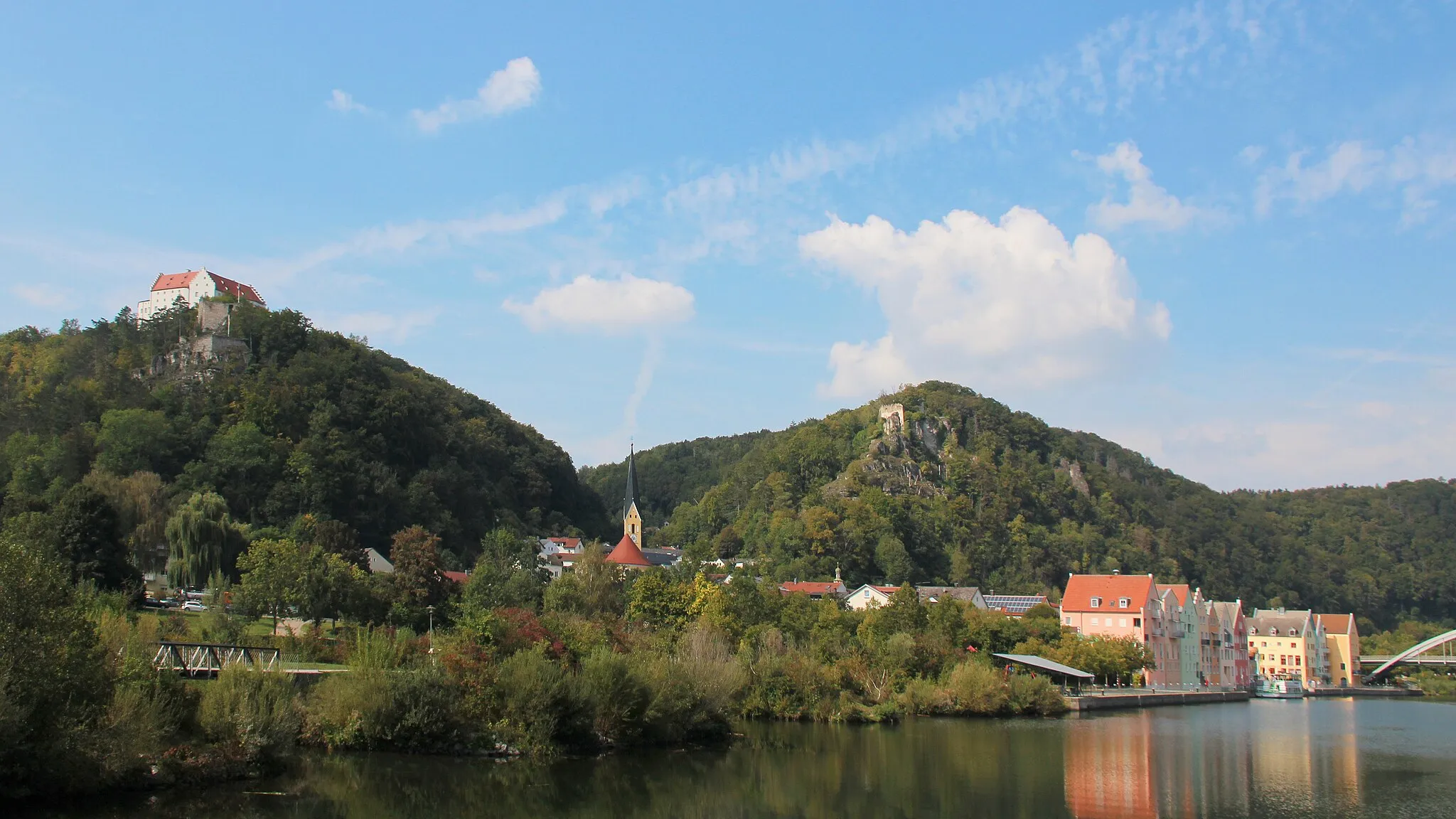
This gravel route takes you through the scenic Danube region, offering stunning views of the river and surrounding countryside. With a moderate ascent of 284 meters and a distance of 43 kilometers, it is suitable for amateur riders looking for an enjoyable cycling experience. The route passes through Donaustauf, where you can visit the historic Donaustauf Castle. It also includes highlights such as Schloss Haus and Schwabelweis, where you can explore local landmarks and immerse yourself in the rich history of the area.
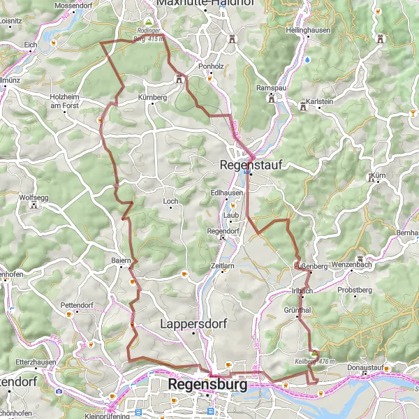
Gravel Adventure - Keilberg Loop
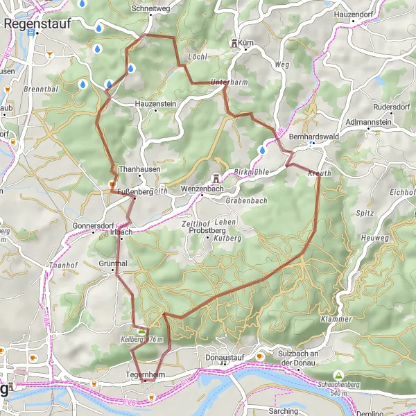
Experience the picturesque gravel roads with a visit to Keilberg
This gravel route takes you through Tegernheim and the surrounding Oberpfalz region, offering beautiful views and challenging terrain. With 33 kilometers in distance and 635 meters of ascent, this route provides an exciting adventure for gravel cyclists. The highlight of the route is the visit to Keilberg, where you can enjoy stunning views of the countryside. Overall, this route is moderately difficult and has a moderate epicness level.
Cycling routes nearby:

Nearby regions: