Discovering Nature
A gravel cycling route starting from Tegernheim
Immerse yourself in nature on this gravel adventure
Map
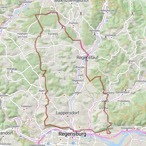
Get closer to nature with this gravel route that spans 61 kilometers and includes a challenging ascent of 745 meters. Ideal for riders looking for a scenic and challenging adventure, this route takes you through various natural highlights such as Winzerer Höhen and Trischlberg. Explore the picturesque village of Roding, known for its beautiful landscapes and tranquility. Discover the stunning Schlossbergturm and Regenstein along the way, offering panoramic views of the surrounding area. Finish your journey in Tegernheim, where you can relax and soak in the natural beauty of the region.
gravel
61 km
745 m
Tough
Route profile
Highlights on the route
0 km
0 km
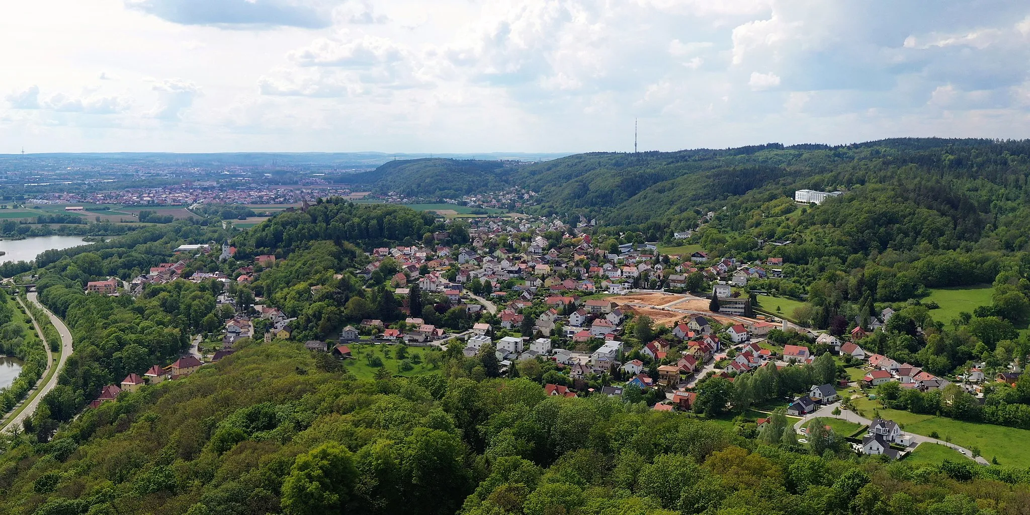
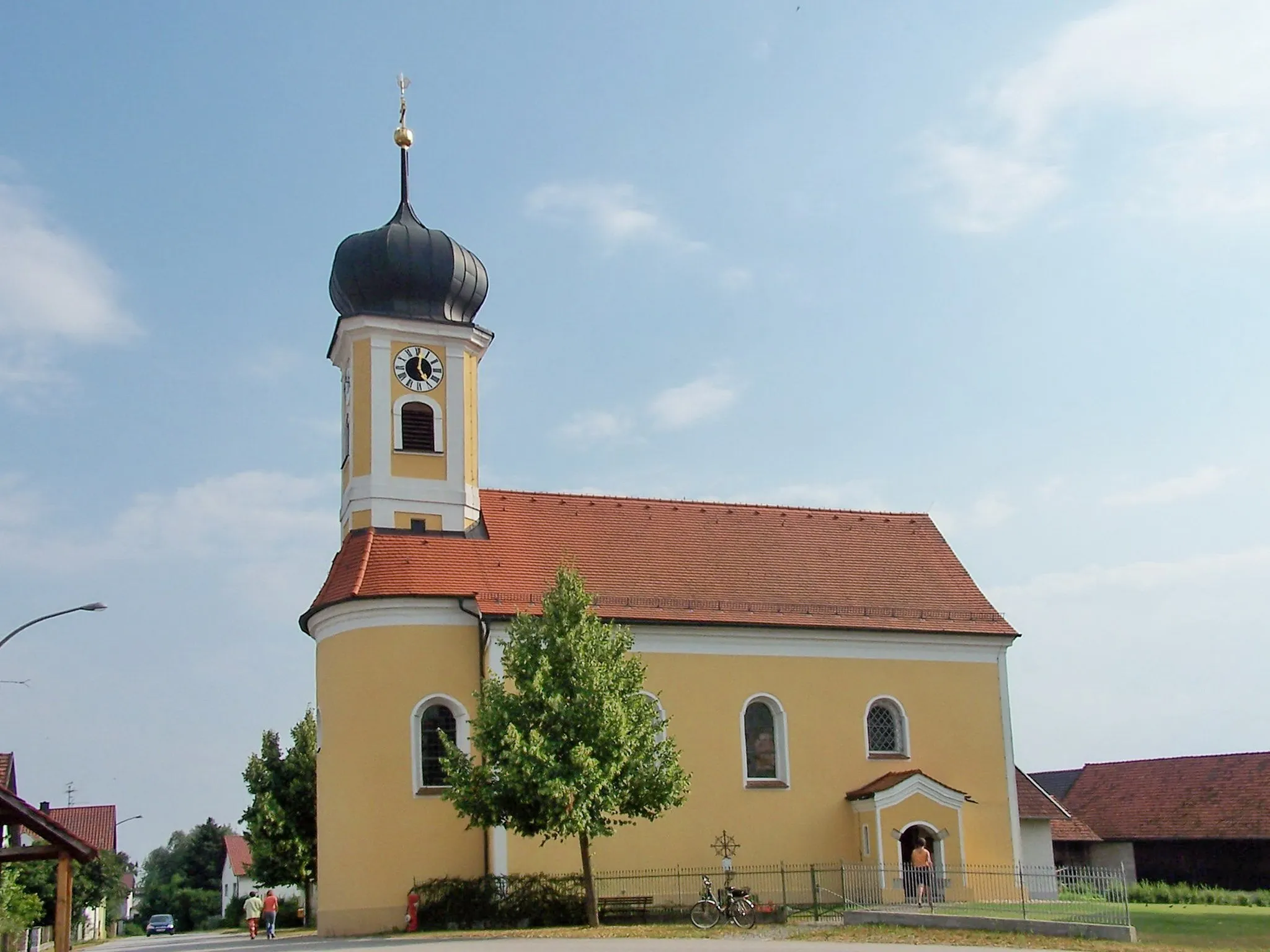
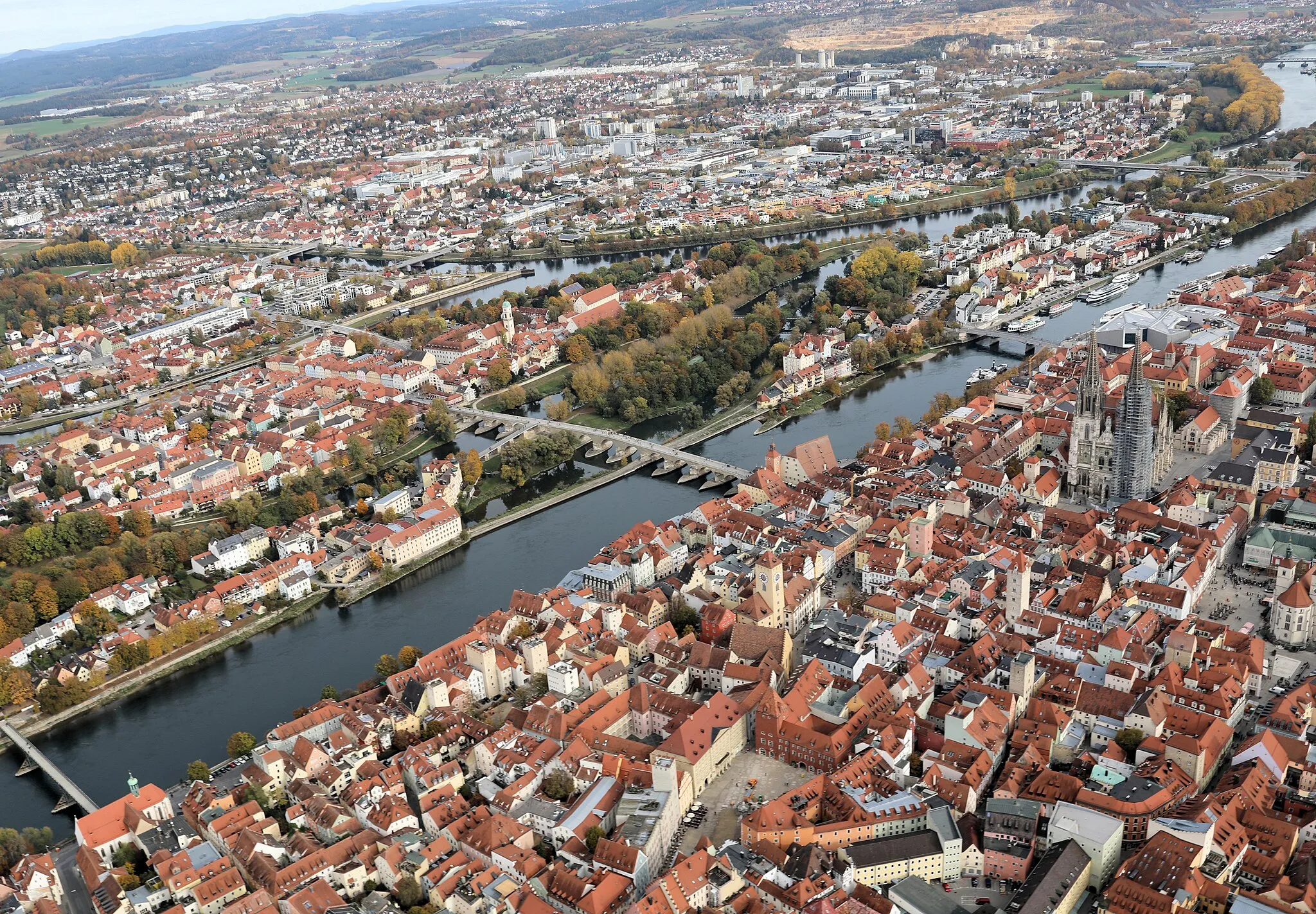
Start: Tegernheim Village centerTegernheim: Cycling Paradise in Oberpfalz, Germany
Tegernheim is a locality in Oberpfalz, Germany. As a road and gravel cyclist, you'll find a variety of routes to explore in the surrounding area. The landscape offers peaceful countryside roads and challenging climbs. With its picturesque views and well-maintained roads, Tegernheim is a great destination for cycling enthusiasts. One of the well-known cycling spots nearby is the Danube Cycle Path, which passes through the region. This path offers scenic views along the Danube River and is suitable for both road and gravel cycling. Overall, Tegernheim ranks 4 in terms of being a cycling-friendly locality.7 km
7 km
DreifaltigkeitsbergViewpointClimb the legendary Dreifaltigkeitsberg for a breathtaking view.
10 km
10 km
Winzerer HöhenPicnic SiteExperience the natural beauty of Winzerer Höhen.
25 km
25 km
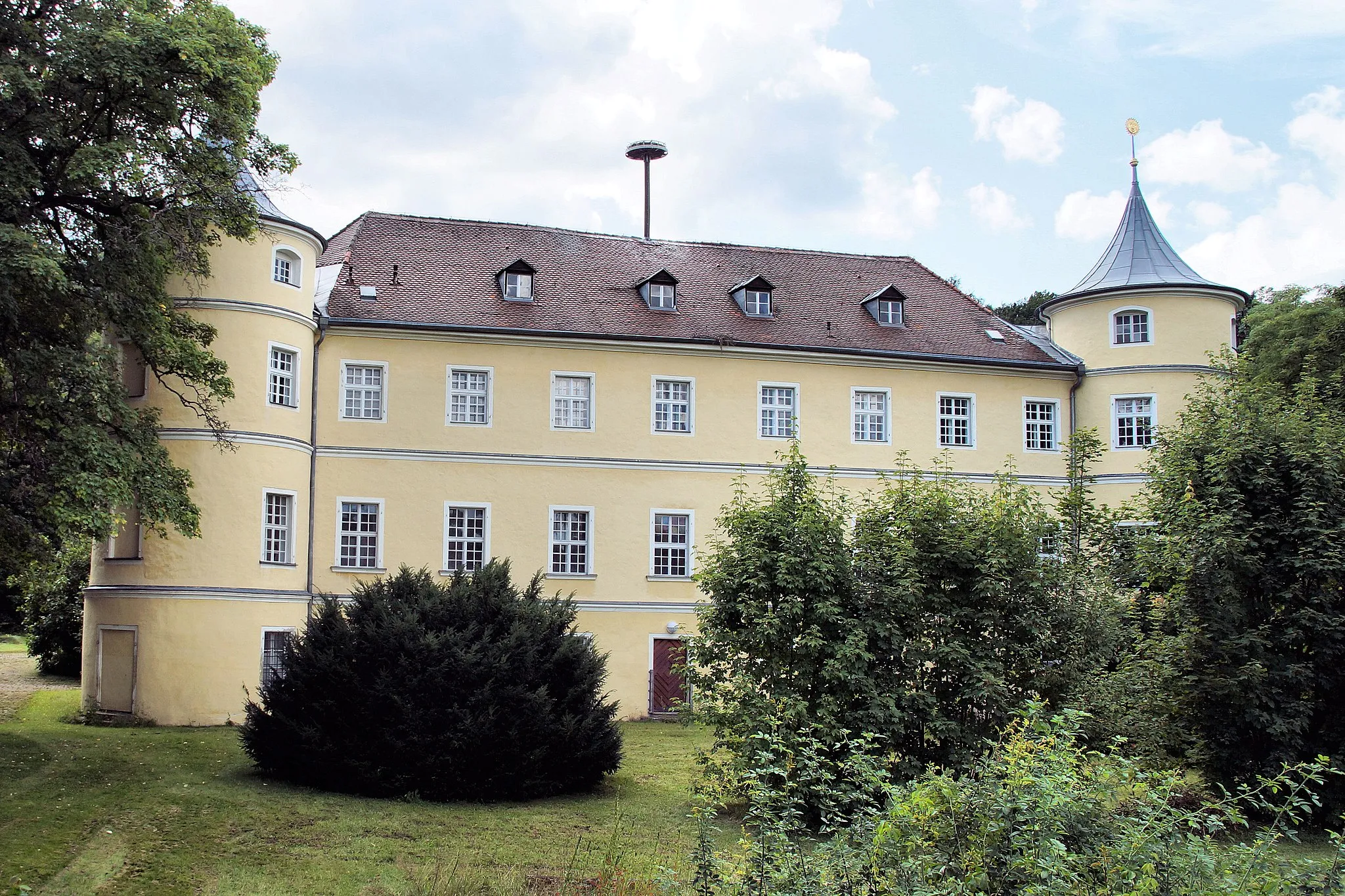
TrischlbergVillageEnjoy panoramic views from the summit of Trischlberg.
34 km
34 km
Rodinger Berg415 mPeakChallenge yourself with the ascent of Rodinger Berg.
44 km
44 km
SchlossbergturmViewpointVisit the striking Schlossbergturm and admire its architectural beauty.
44 km
44 km
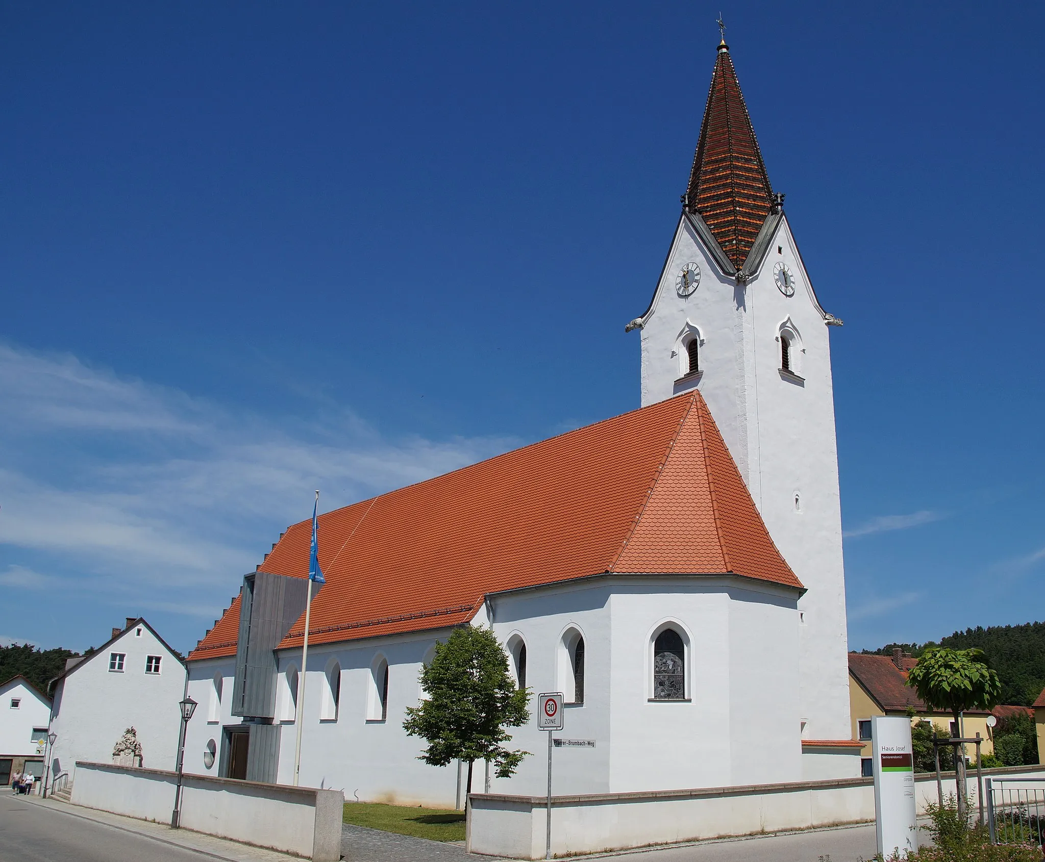
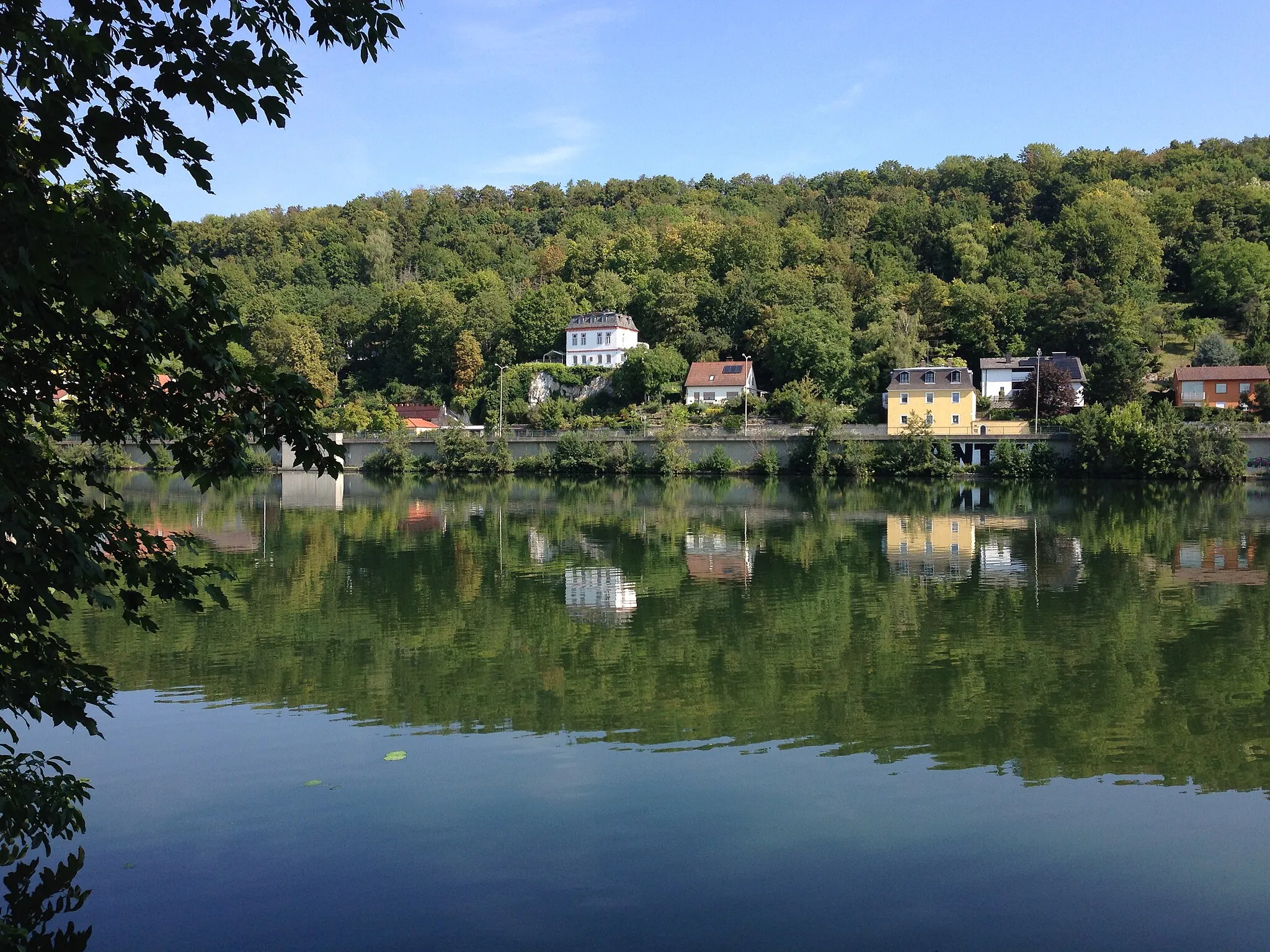
RegenstaufTownExplore the historic town of Regenstauf and its surroundings.
58 km
58 km
Keilberg476 mPeakDiscover the serene beauty of Keilberg on your cycling adventure.
61 km
61 km
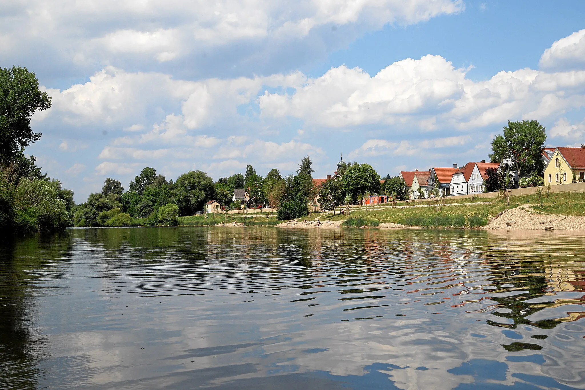
TegernheimVillageExperience the tranquility and natural surroundings of Tegernheim.
61 km
61 km
Finish: Tegernheim Village centerTegernheim: Cycling Paradise in Oberpfalz, Germany
Cycling routes nearby: