The Scenic Road Adventure
A road cycling route starting from Mahring
Embark on a scenic road cycling adventure through stunning landscapes.
Map
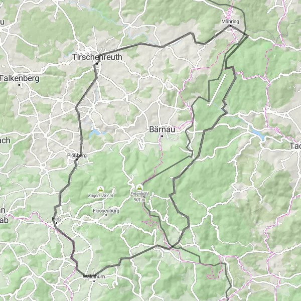
Indulge in the breathtaking beauty of the Oberpfalz region as you embark on this road cycling adventure near Mähring. With a challenging ascent of 1261 meters and a distance of 86 kilometers, this route will take you through enchanting scenery and charming villages.
road
86 km
1261 m
Tough
Route profile
Highlights on the route
0 km
0 km
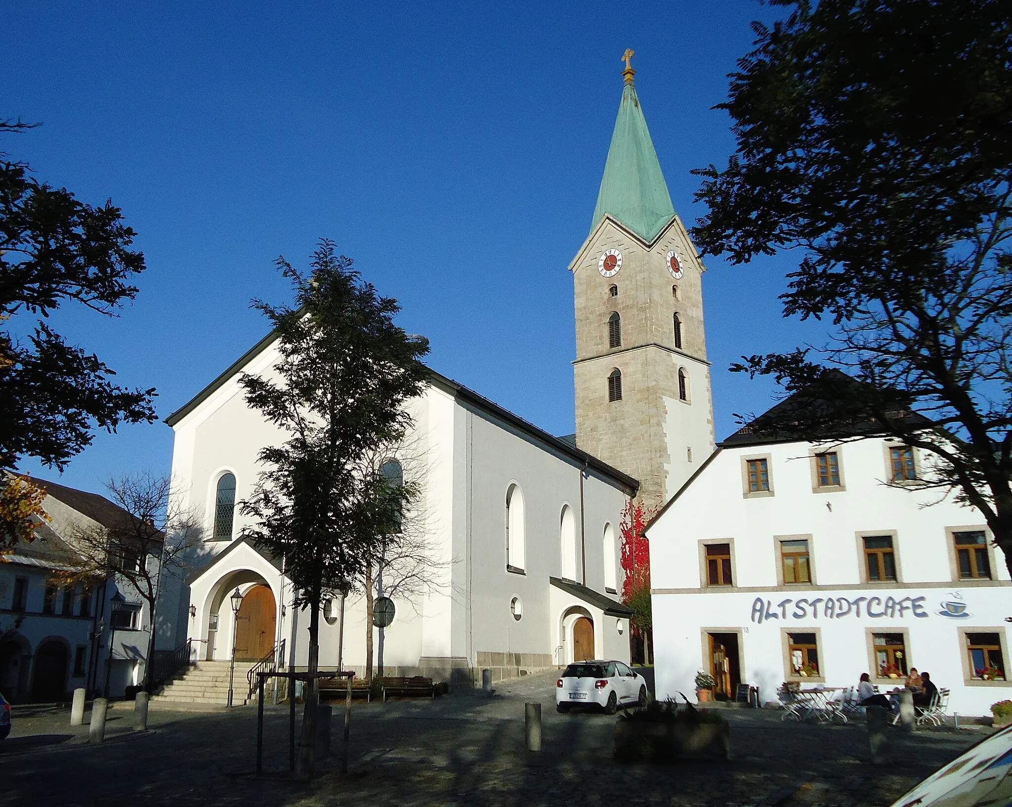
Start: Mähring Village centerMähring: Serene cycling in Mähring, Oberpfalz, Germany
Mähring is a small locality in Oberpfalz, Germany which offers decent cycling opportunities. The surrounding region features rolling hills, quiet roads, and picturesque landscapes. The area is relatively undiscovered by tourists, making it an ideal choice for cyclists looking for tranquility and solitude. Cycledeutschland is a popular organized cycling event in the area, which attracts both locals and visitors. While there may not be any famous climbs in Mähring itself, nearby routes and trails take cyclists through beautiful forests and charming rural countryside. Mähring is a great choice for cyclists seeking a calm and peaceful cycling experience.13 km
13 km
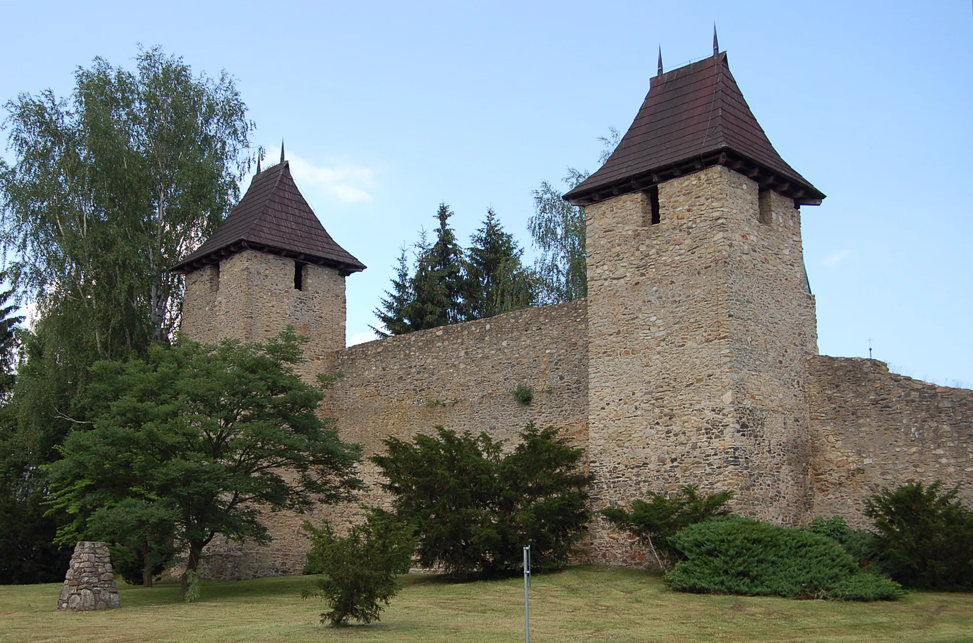
Branka675 mVillageVisit Branka, a small village known for its historic charm and traditional Bavarian architecture.
15 km
15 km
Javorina730 mPeakJavorina offers sweeping views of the surrounding countryside and a chance to witness the vibrant colors of the changing seasons.
34 km
34 km
GeorgenbergVillageClimb to the top of Georgenberg and be rewarded with panoramic views of the Oberpfalz region and its idyllic landscape.
35 km
35 km
Rehberg753 mPeakRehberg is a popular stop along the route, offering a lookout point with stunning views and a chance to catch your breath.
55 km
55 km
Tannenbühl604 mPeakTannenbühl is a hidden gem surrounded by dense forests and captivating natural beauty.
58 km
58 km
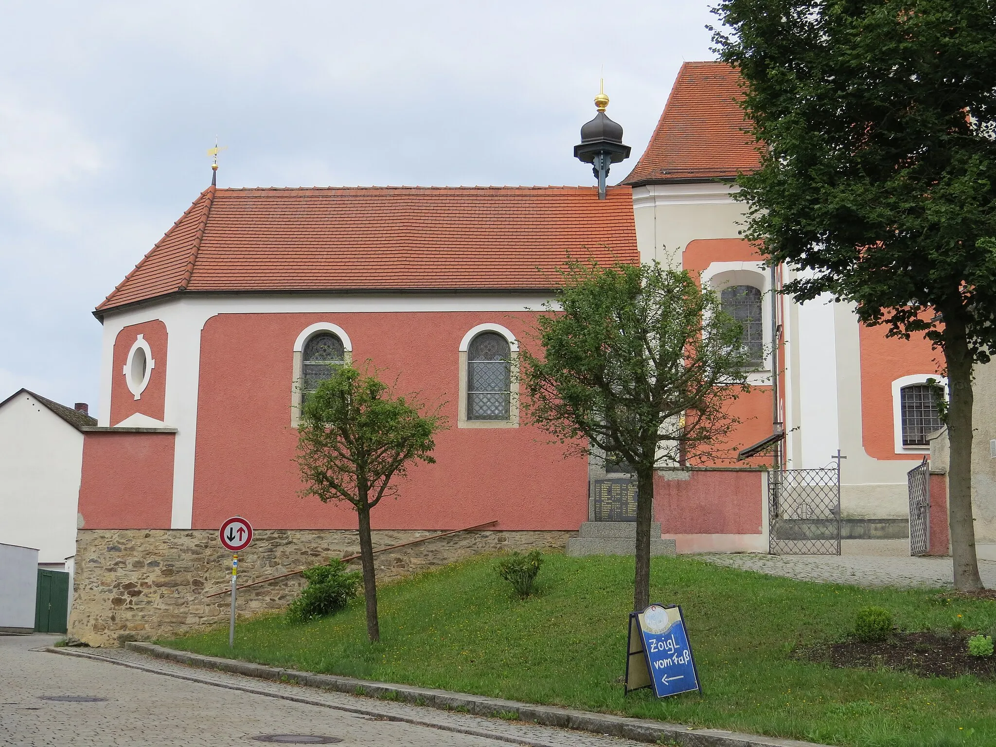
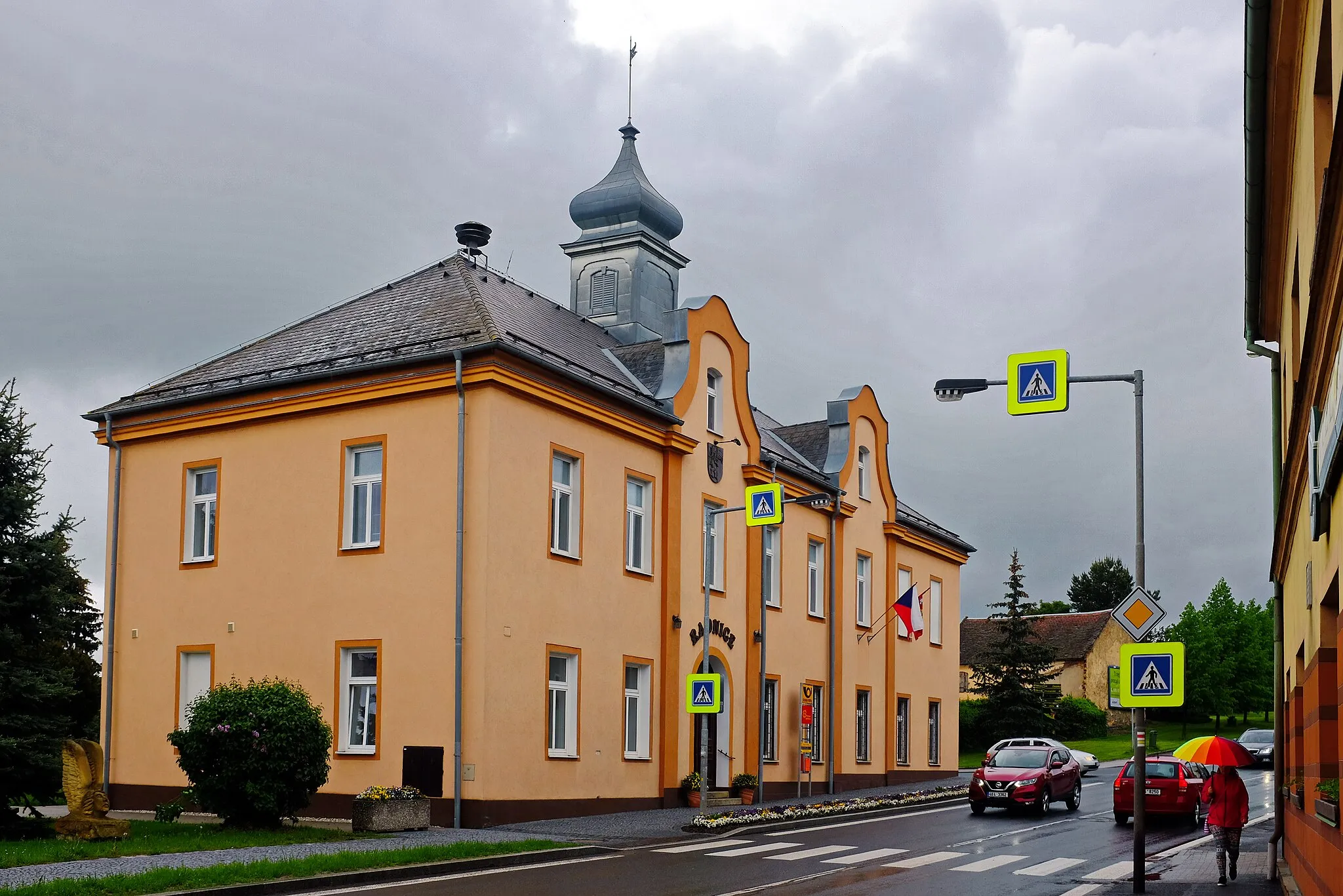
PlößbergVillageDon't miss Plößberg, a charming village known for its picturesque half-timbered houses and enchanting atmosphere.
70 km
70 km
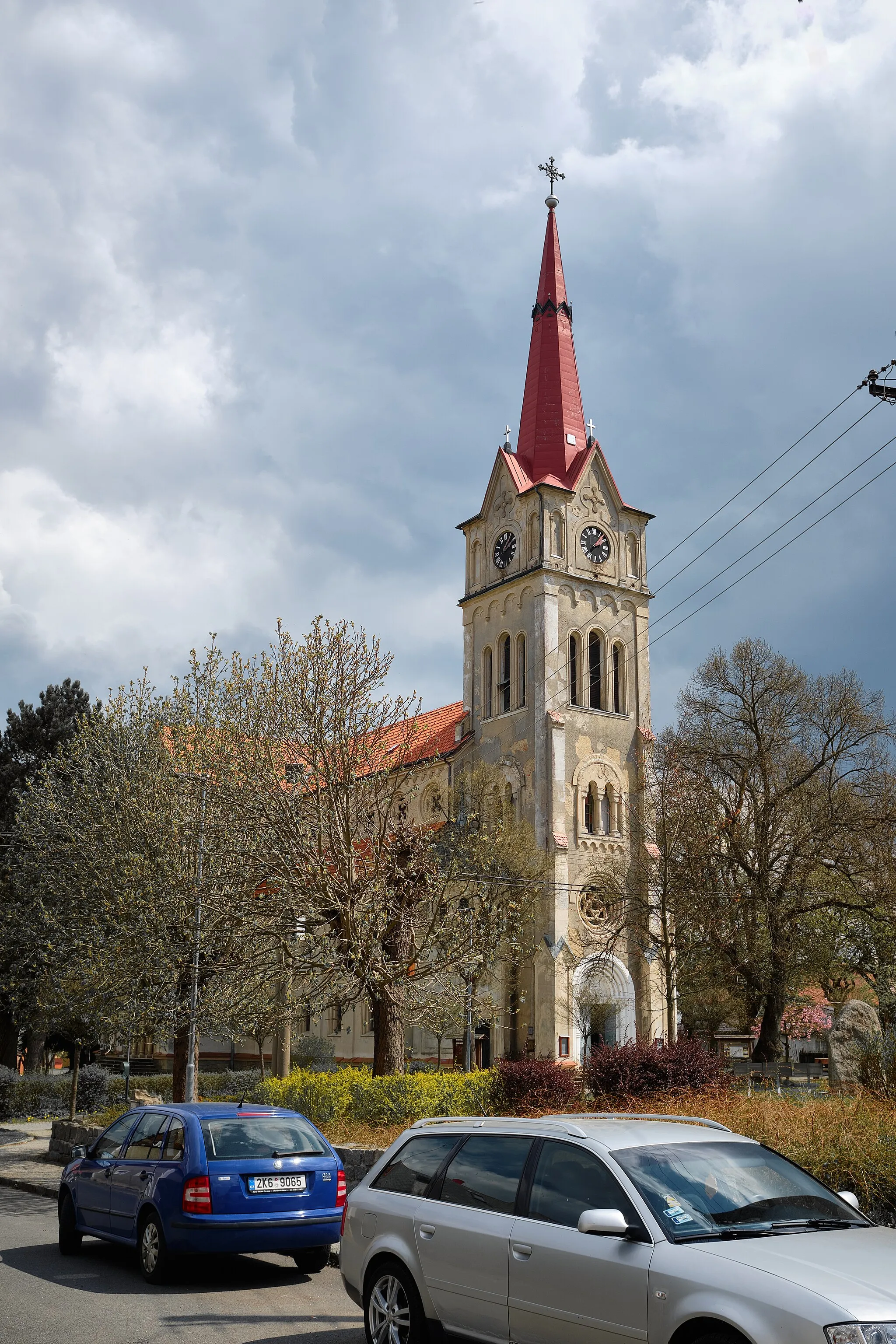
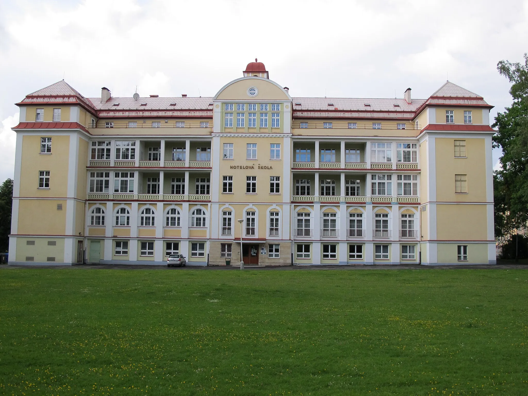
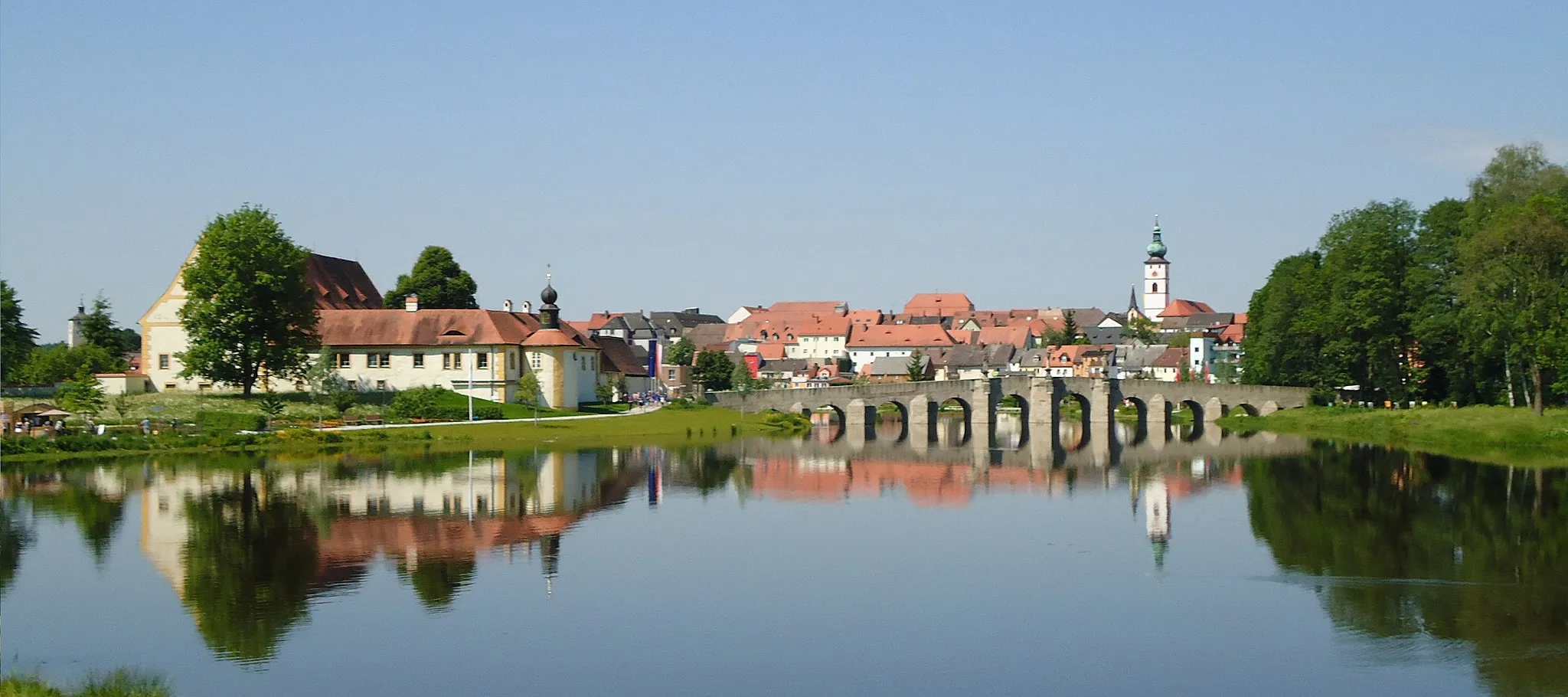
TirschenreuthTownImmerse yourself in the tranquility of Tirschenreuth, a village surrounded by lush green fields and rolling hills.
72 km
72 km
Geißbühl550 mPeakGeißbühl offers breathtaking panoramic views of the Oberpfalz countryside, making it a perfect spot for photography enthusiasts.
86 km
86 km
Finish: Mähring Village centerMähring: Serene cycling in Mähring, Oberpfalz, Germany
Cycling routes nearby: