Scenic Gravel Loop around Mantel
A gravel cycling route starting from Mantel
Enjoy the scenic countryside around Mantel on this gravel ride
Map
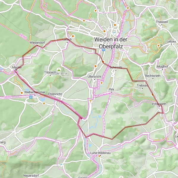
This 40km gravel route takes you on a scenic journey around the area near Mantel. With a moderate ascent of 371m, this ride offers a good challenge for gravel enthusiasts. Along the way, you'll pass through the charming village of Schirmitz, ride through the picturesque landscapes of Irchenrieth, admire the views from Naabberg, and conquer the challenging Schopperhöhe.
gravel
40 km
371 m
Tough
Route profile
Highlights on the route
0 km
0 km
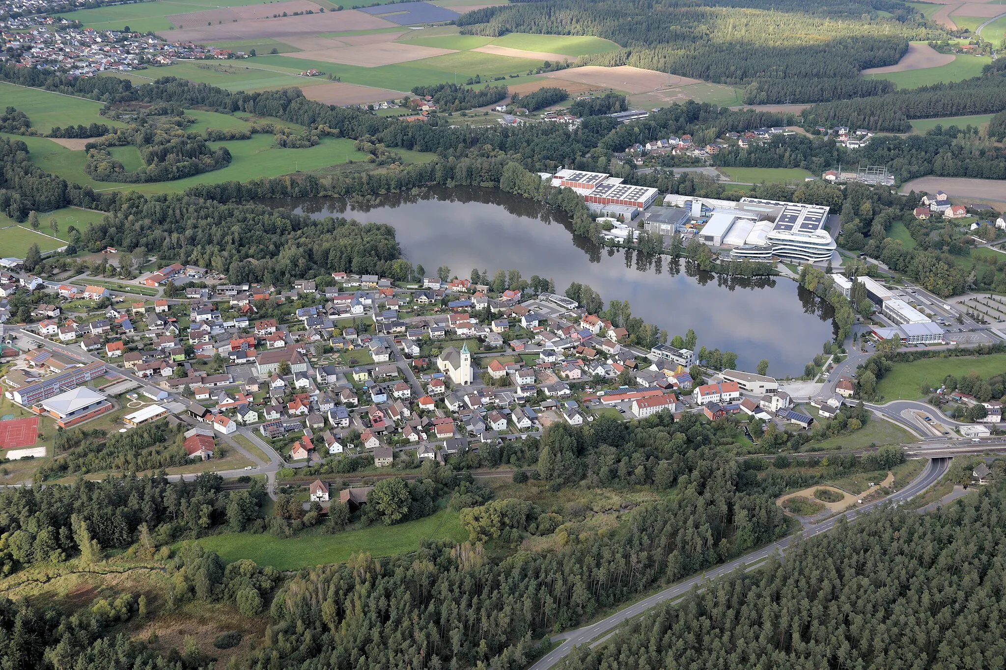
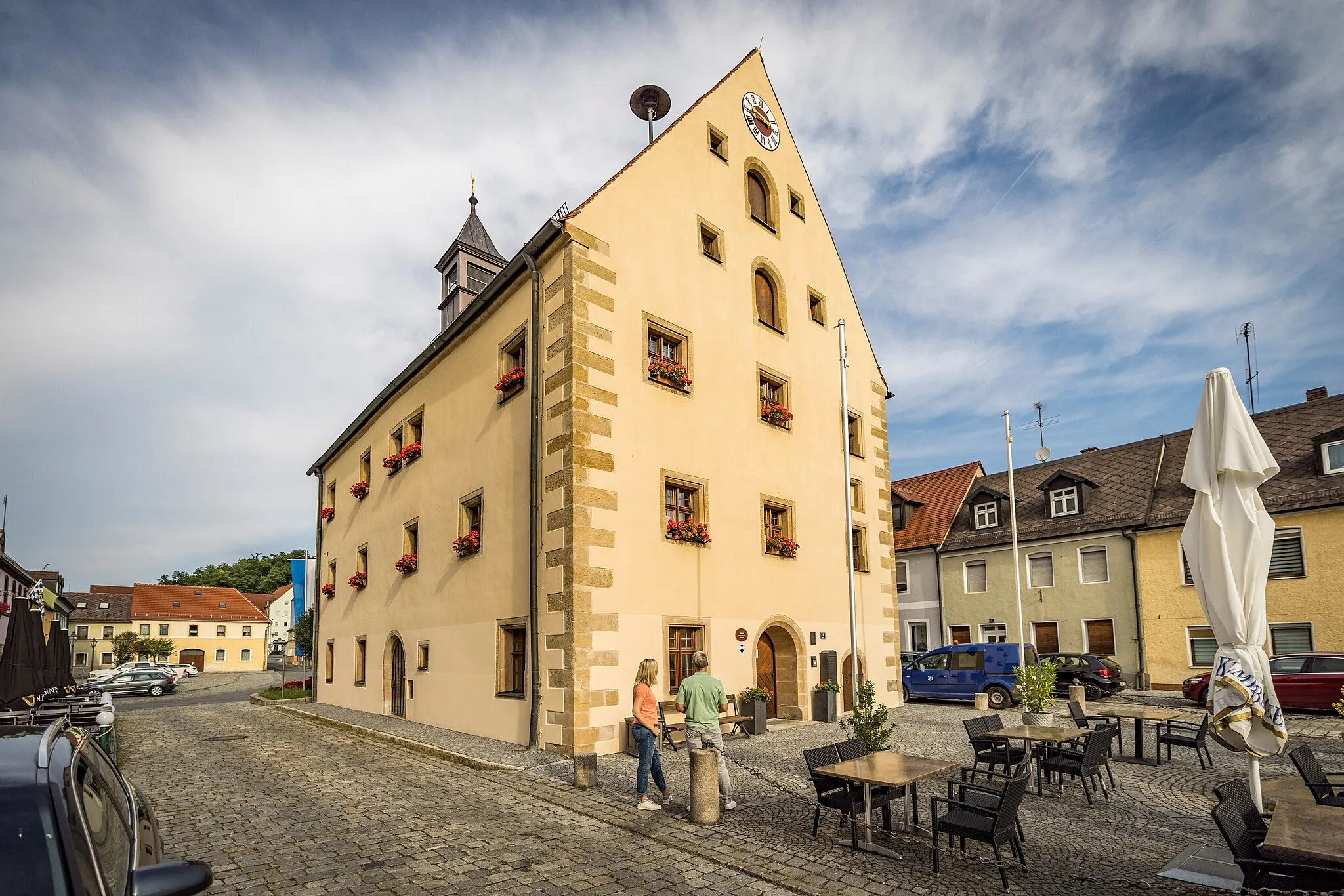
Start: Mantel Village centerMantel: Embark on a cycling adventure through the idyllic landscapes of Mantel in Oberpfalz.
Mantel is a locality nestled in Oberpfalz, Germany. As a cyclist, you will appreciate the scenic beauty and peacefulness of the region. Mantel offers a range of cycling routes suitable for road and gravel cyclists, including the well-known Bavarian Forest cycling trails. The area is characterized by rolling hills and dense forests, providing a pleasant and challenging cycling experience. Additionally, Mantel is located near several castles and historic sites, offering opportunities for cultural exploration. Overall, Mantel is a fantastic location for cyclists, combining natural beauty with historical attractions.12 km
12 km
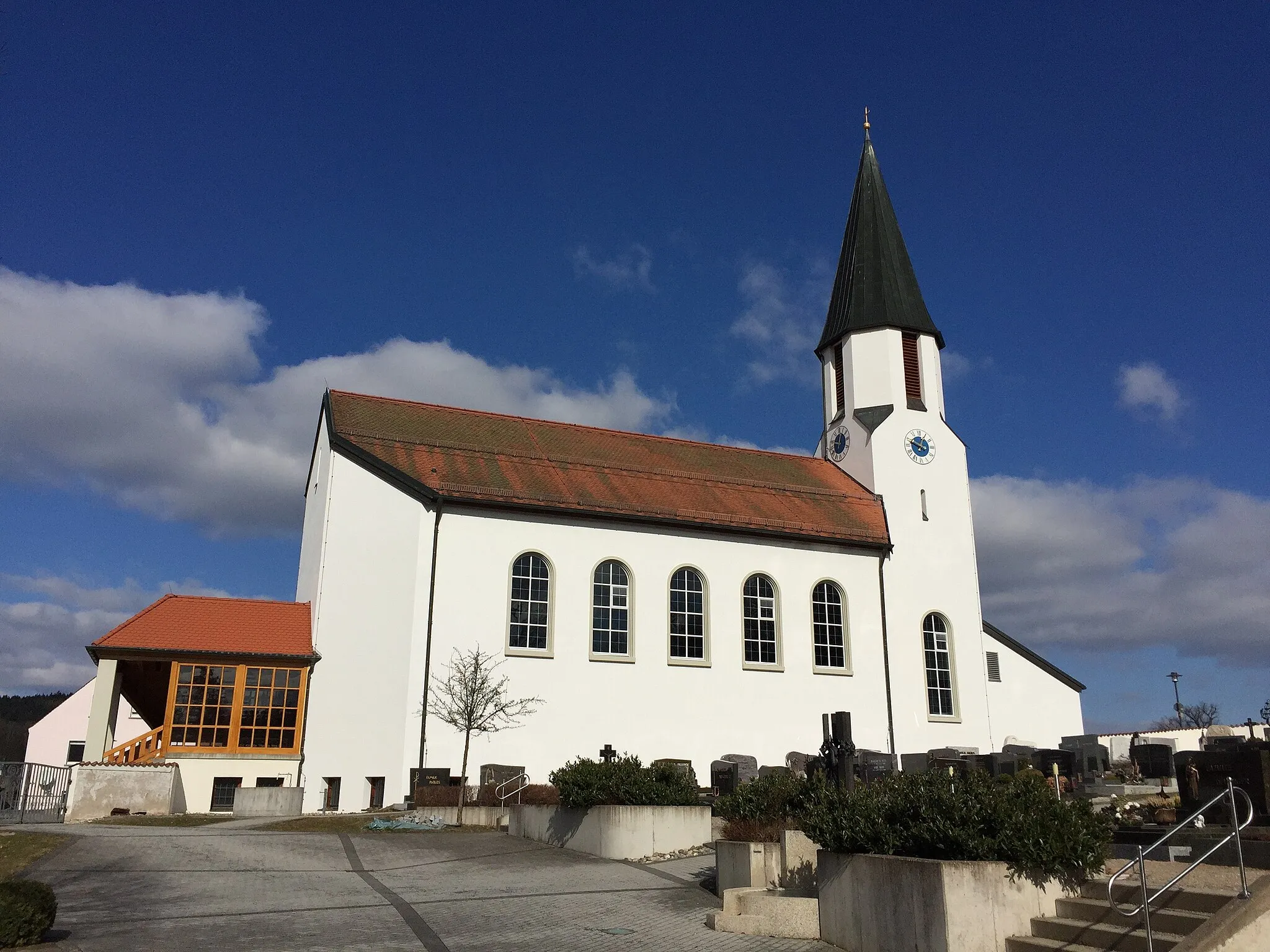
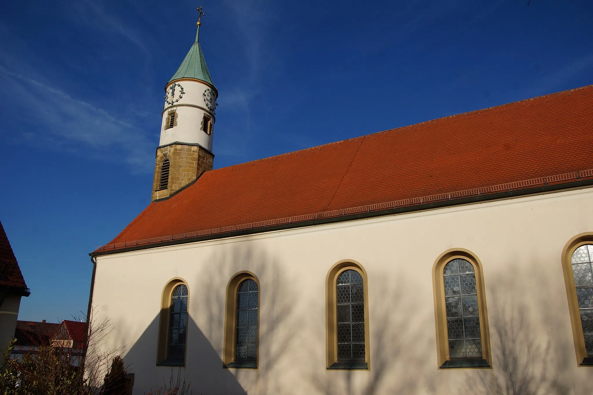
SchirmitzVillageSchirmitz is a small village known for its beautiful traditional houses and well-preserved architecture. Ride through the village and admire the unique charm of this hidden gem.
19 km
19 km
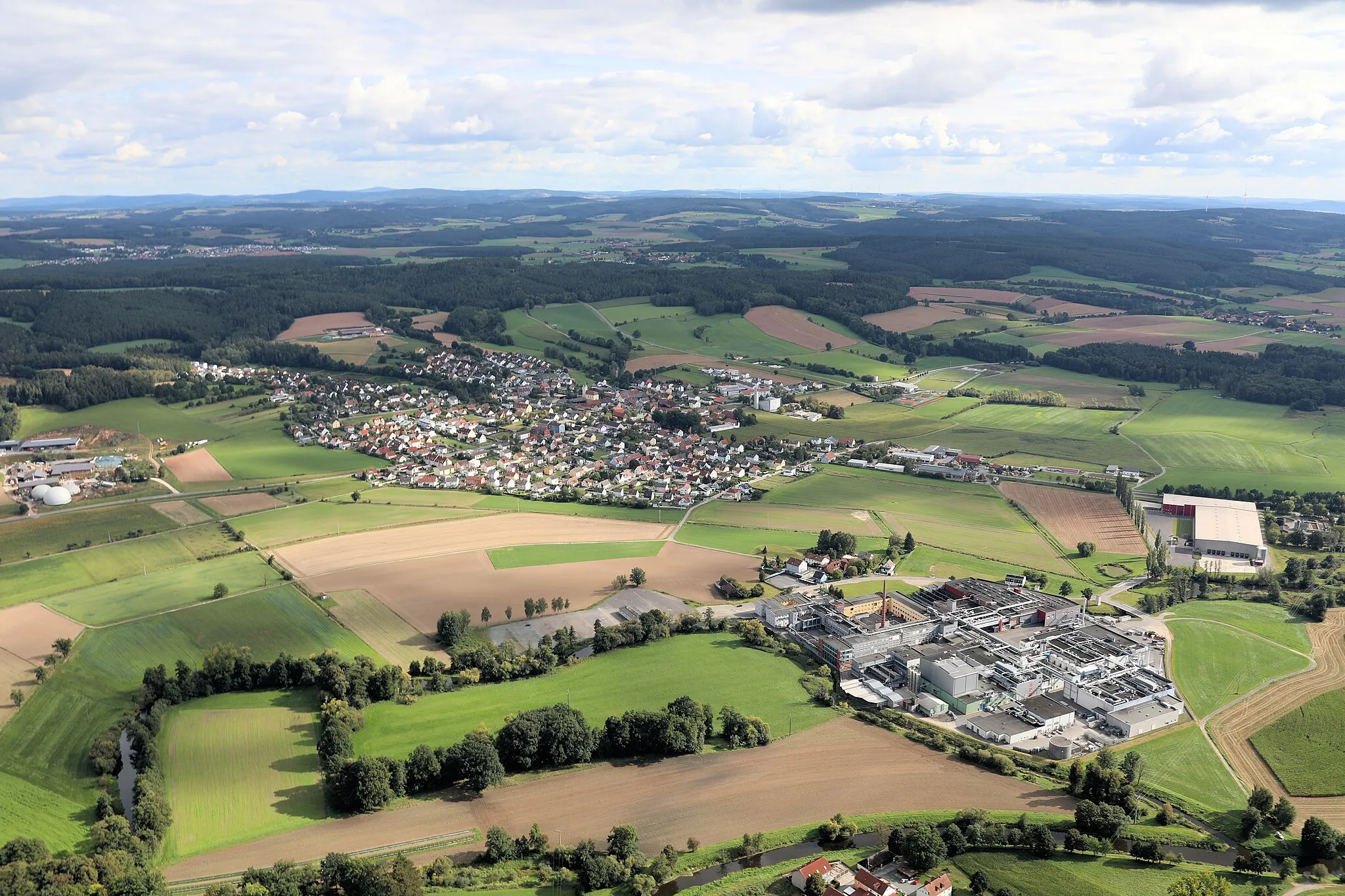
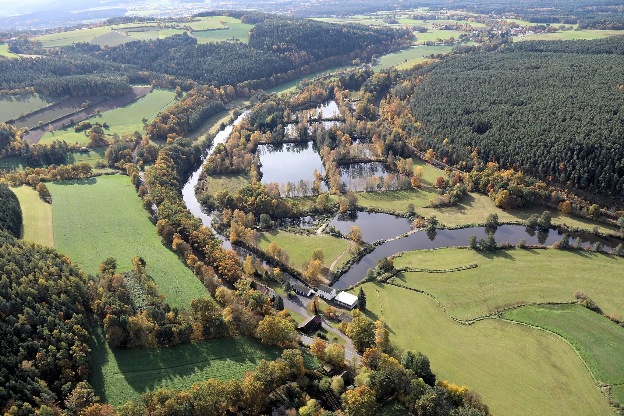
IrchenriethVillageIrchenrieth is surrounded by pristine landscapes and beautiful farms. The peaceful atmosphere and scenic views make it a great place for a pit stop or a photo opportunity.
32 km
32 km
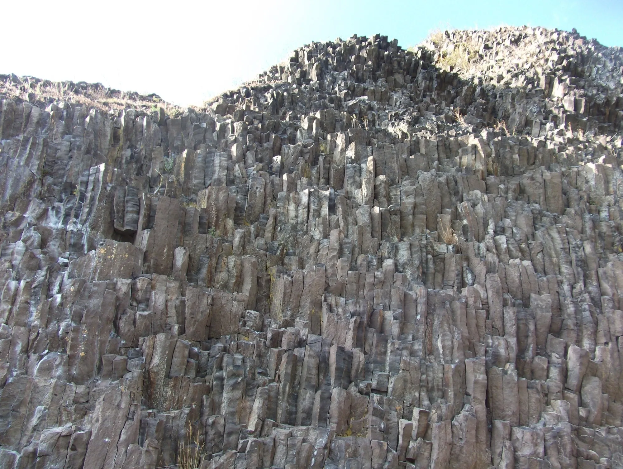
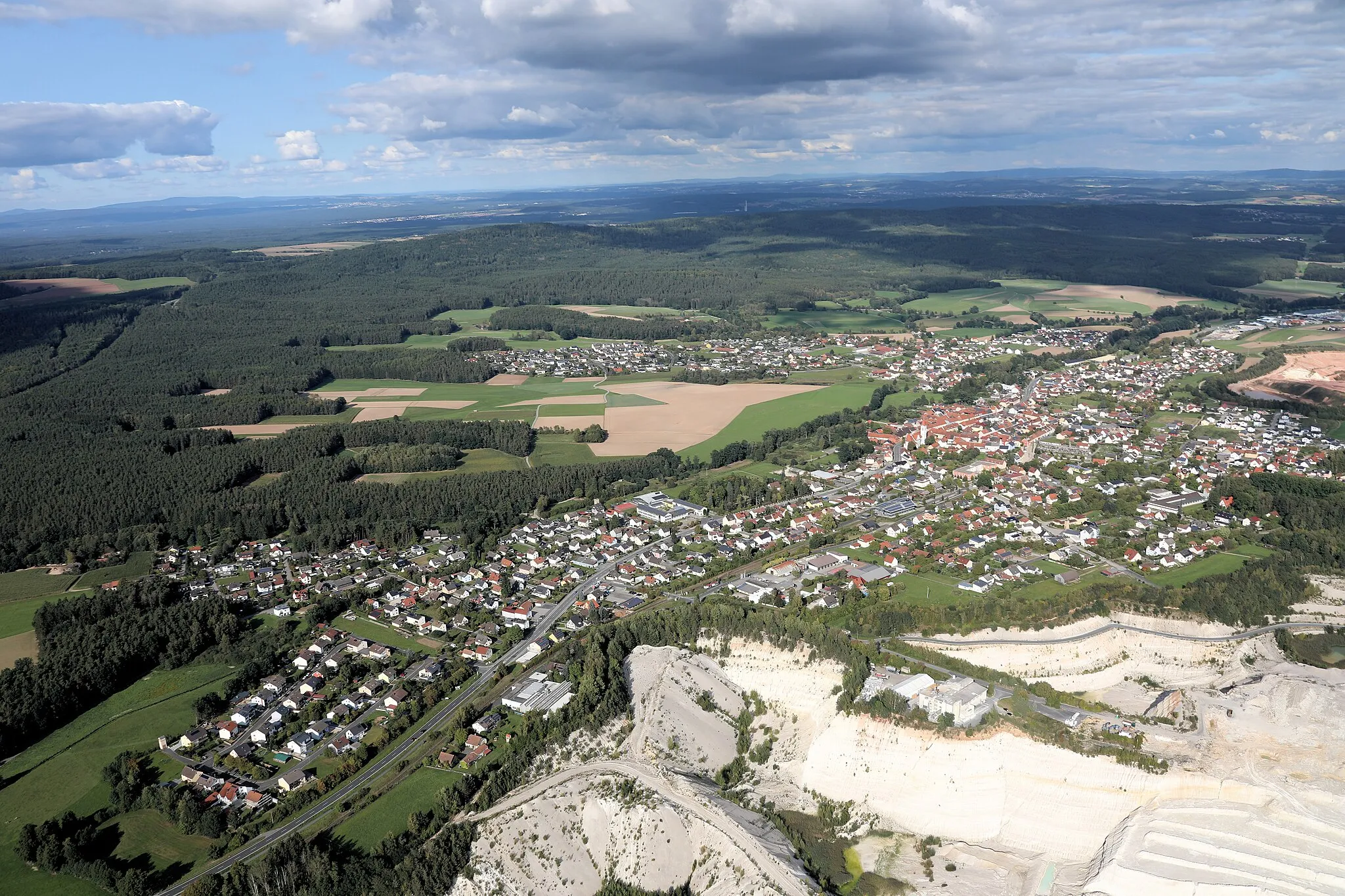
Naabberg450 mPeakNaabberg is a high point that offers panoramic views of the surrounding valleys and hills. Rest for a moment and enjoy the breathtaking scenery before continuing your ride.
37 km
37 km
Schopperhöhe450 mPeakSchopperhöhe is a challenging climb that will push your limits. Once you reach the top, you'll be rewarded with stunning views of the surrounding countryside.
40 km
40 km
Finish: Mantel Village centerMantel: Embark on a cycling adventure through the idyllic landscapes of Mantel in Oberpfalz.
Cycling routes from Mantel:
Untersteinbach and Rödlasberg Gravel Route Scenic Gravel Loop around Mantel Beautiful Gravel Ride through Oberpfalz Countryside Massenricht and Rödlasberg Road Route Scenic Road Loop around Mantel Ultimate Gravel Adventure in Oberpfalz Weiden in der Oberpfalz Gravel Route Challenging Road Cycling Tour through Oberpfalz Weiden in der Oberpfalz Grand Tour Schopperhöhe and Weiherhammer Road Route The Forest Circuit
Cycling routes nearby: