Gravel Adventure
A gravel cycling route starting from Parkstein
Embark on an off-road adventure through the gravel roads near Parkstein
Map
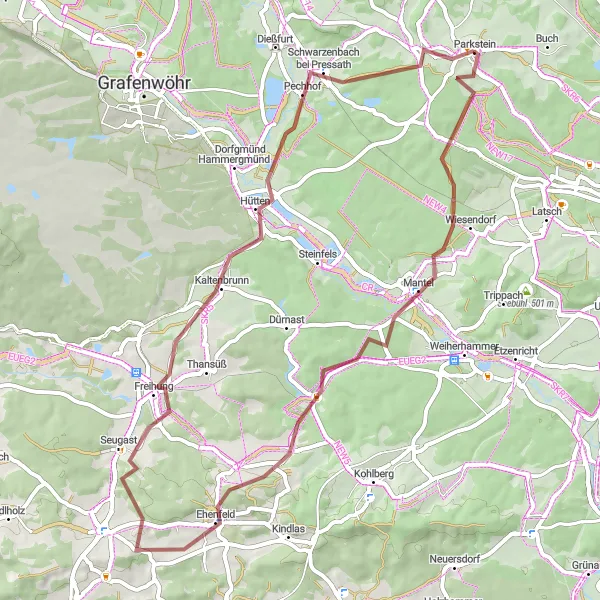
The Gravel Adventure is a thrilling off-road cycling route that takes you through scenic gravel roads and idyllic forests. With a distance of 56 km and an ascent of 733 meters, it provides a moderate challenge for gravel enthusiasts. Highlights along the route include Höllenberg, a hill with panoramic views, and Schafkopf, a scenic spot with beautiful vistas. Another highlight is Radl-Point, a popular meeting point for cyclists. Don't miss the opportunity to discover the natural beauty of the region on this exciting gravel adventure.
gravel
56 km
733 m
Tough
Route profile
Highlights on the route
0 km
0 km
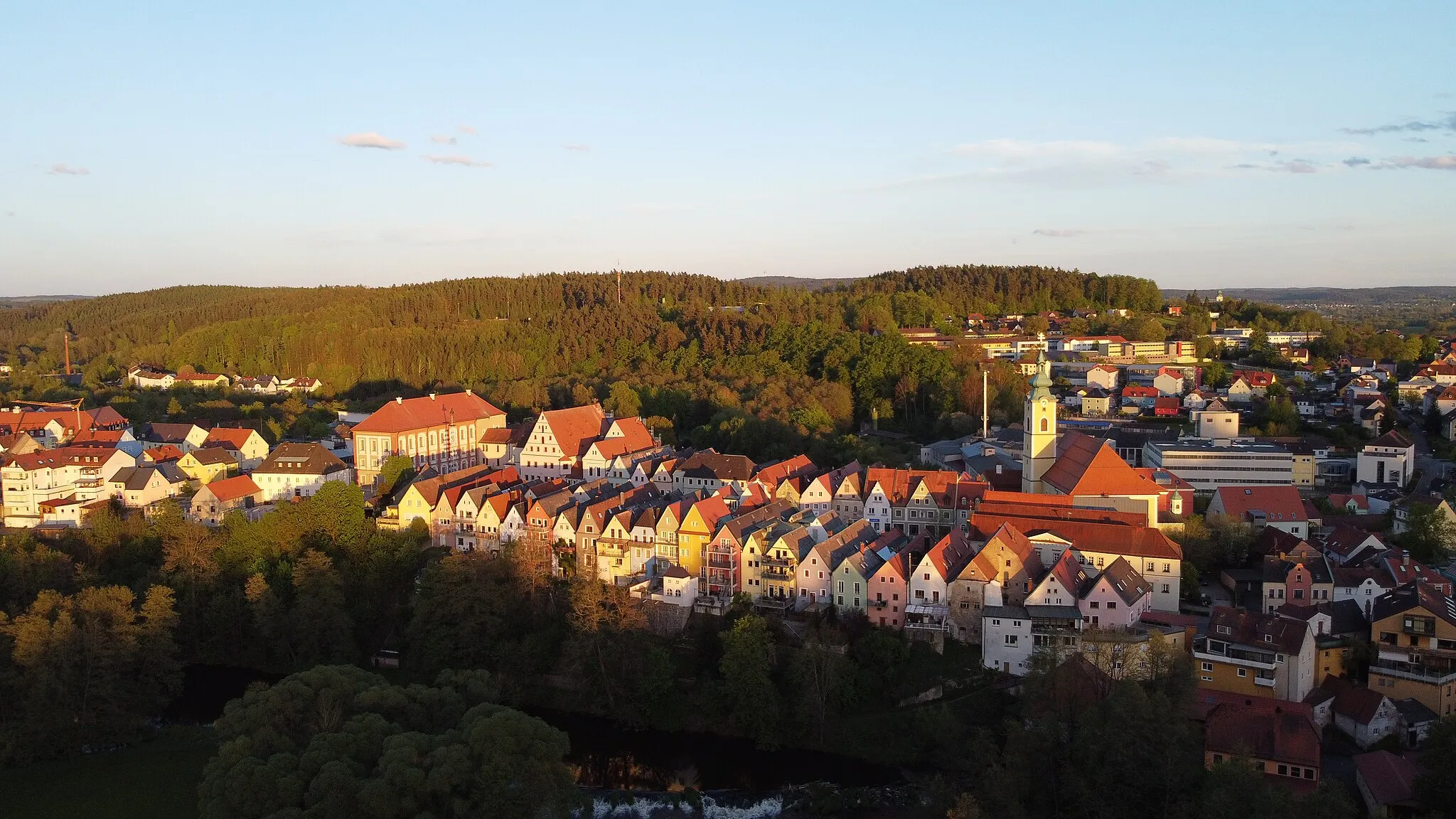
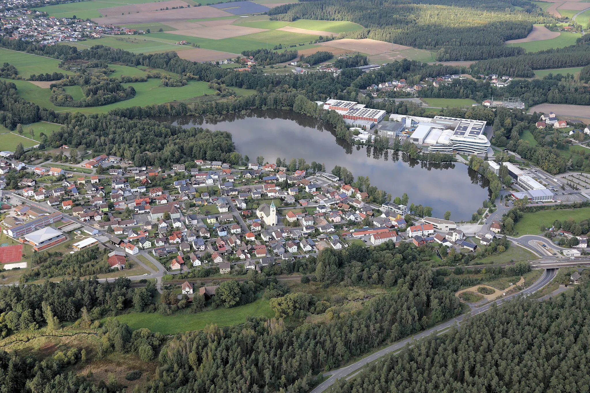
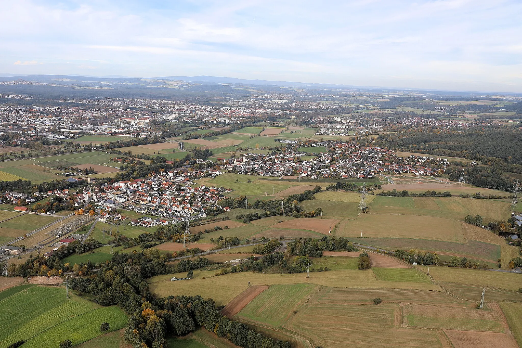
Start: Parkstein Village centerParkstein: Embracing the dynamic terrain of Parkstein on two wheels
Parkstein in Oberpfalz, Germany, is a hidden gem for road and gravel cyclists. The locality features diverse landscapes, ranging from rolling hills to challenging slopes. Cyclists can embark on scenic routes that showcase stunning views of the surrounding countryside. Parkstein is home to several well-known climbs, such as Schürfleite, which attract both local and international cycling enthusiasts. With its combination of natural beauty and cycling opportunities, Parkstein is an ideal destination for all riders.0 km
0 km
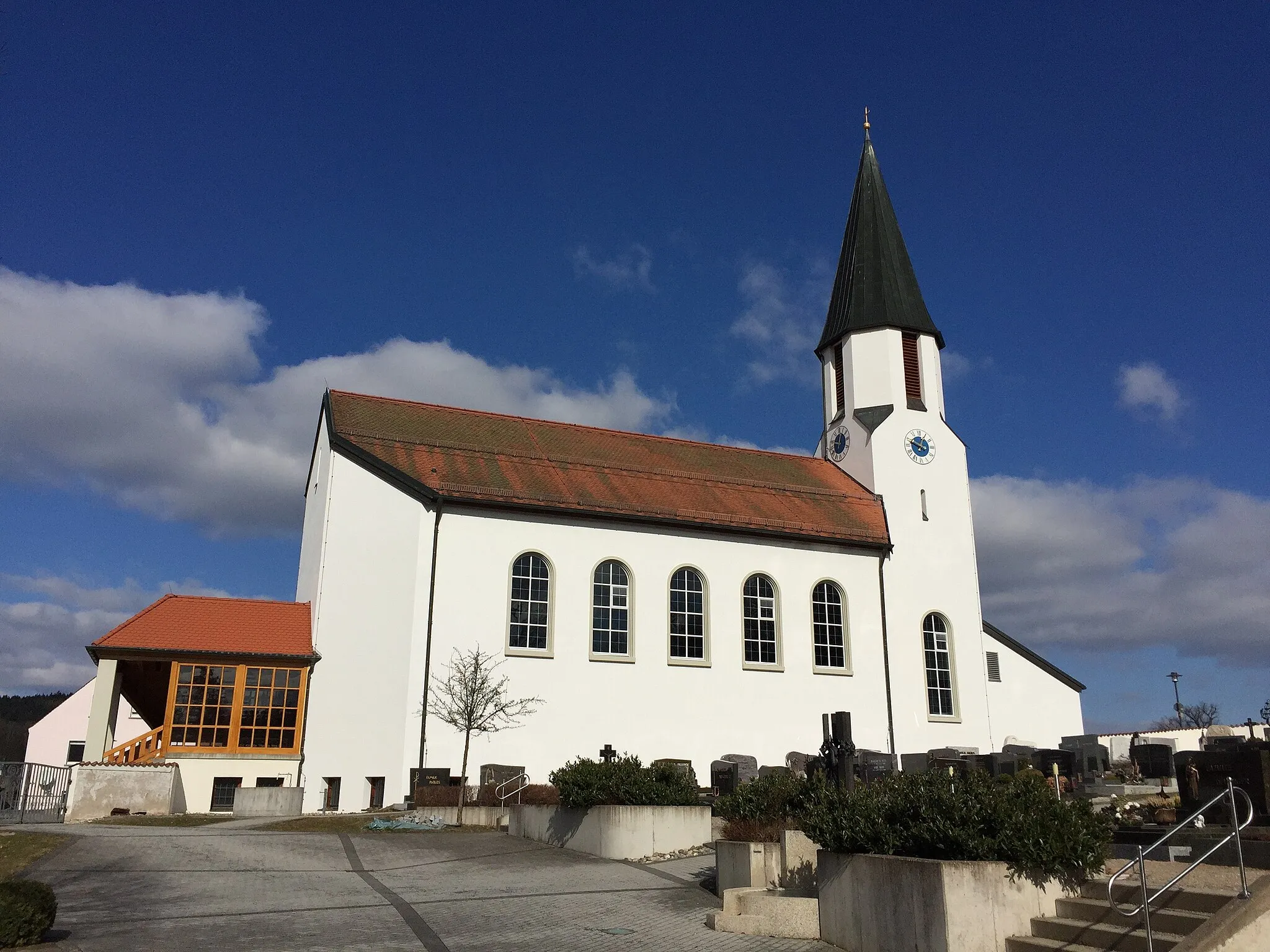
Parkstein595 mVolcano ViewpointParkstein is a charming town that is home to a volcanic basalt cone. Take a moment to appreciate the natural beauty of this unique geological feature.
0 km
0 km
Basaltkegel ParksteinAttractionBasaltkegel Parkstein is a fascinating geological formation. Explore the site and learn about its volcanic origins.
18 km
18 km
Höllenberg451 mPeakHöllenberg offers stunning panoramic views of the surrounding countryside. Take a break and enjoy the picturesque landscape.
19 km
19 km
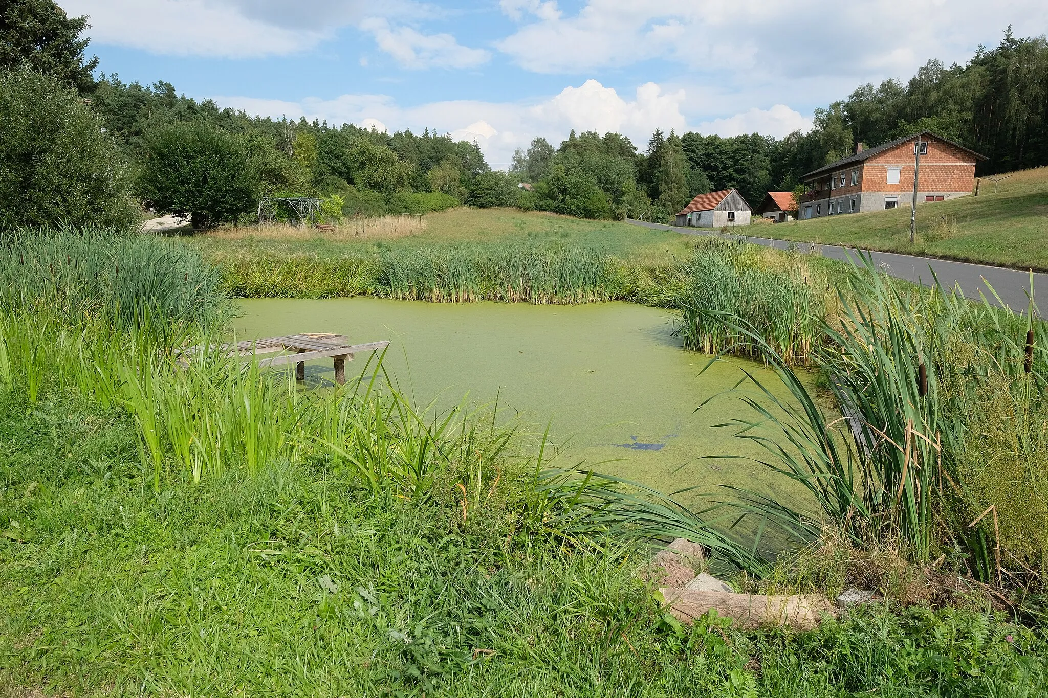
UntersteinbachHamletUntersteinbach is a small village surrounded by beautiful forests. Cycle through its peaceful streets and soak in the tranquil atmosphere.
35 km
35 km
FreihungVillageFreihung is a charming town with traditional Bavarian architecture. Enjoy the beautiful surroundings as you pass through.
49 km
49 km
Radl-PointShelterRadl-Point is a popular meeting point for cyclists. Take a break here and meet fellow biking enthusiasts.
52 km
52 km
Schafkopf462 mPeakSchafkopf is a scenic spot with beautiful vistas. Take a moment to appreciate the natural beauty of the area.
56 km
56 km
Finish: Parkstein Village centerParkstein: Embracing the dynamic terrain of Parkstein on two wheels
Cycling routes from Parkstein:
The Gravel Adventure of Sauleuzenberg Exploring the Scenic Routes of Atzmannsberg The Road Journey to Fuchsmühl The Ultimate Gravel Adventure: Ochsenkopf Discovering Eschenbach in der Oberpfalz Parkstein Loop Parkstein Century Gravel Adventure Naab Valley Ride Gravel Escape Parkstein Gravel Loop Parkstein Road Ride
Cycling routes nearby: