The Hills of Pettendorf
A road cycling route starting from Pettendorf
A challenging road cycling route with breathtaking views and historic landmarks.
Map
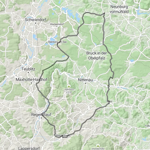
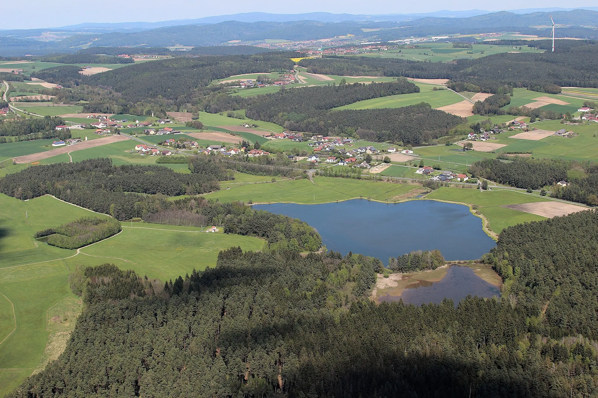
The Hills of Pettendorf is a scenic road cycling route that takes you through the picturesque landscapes of Oberpfalz. With a total ascent of 1247 meters and a distance of 93 kilometers, this route is suitable for well-trained amateur cyclists looking for a challenging ride. Along the way, you'll encounter several highlights, including the Eichelberg, a small hill with panoramic views, and the Schlossbergturm, a historic tower offering stunning vistas of the region. Other notable highlights include the Hallerberg, Steinberg am See, and Zanglberg. Overall, the route provides a rewarding cycling experience with its mix of hills, nature, and cultural landmarks.
road
93 km
1247 m
Tough
Route profile
Highlights on the route
0 km
0 km
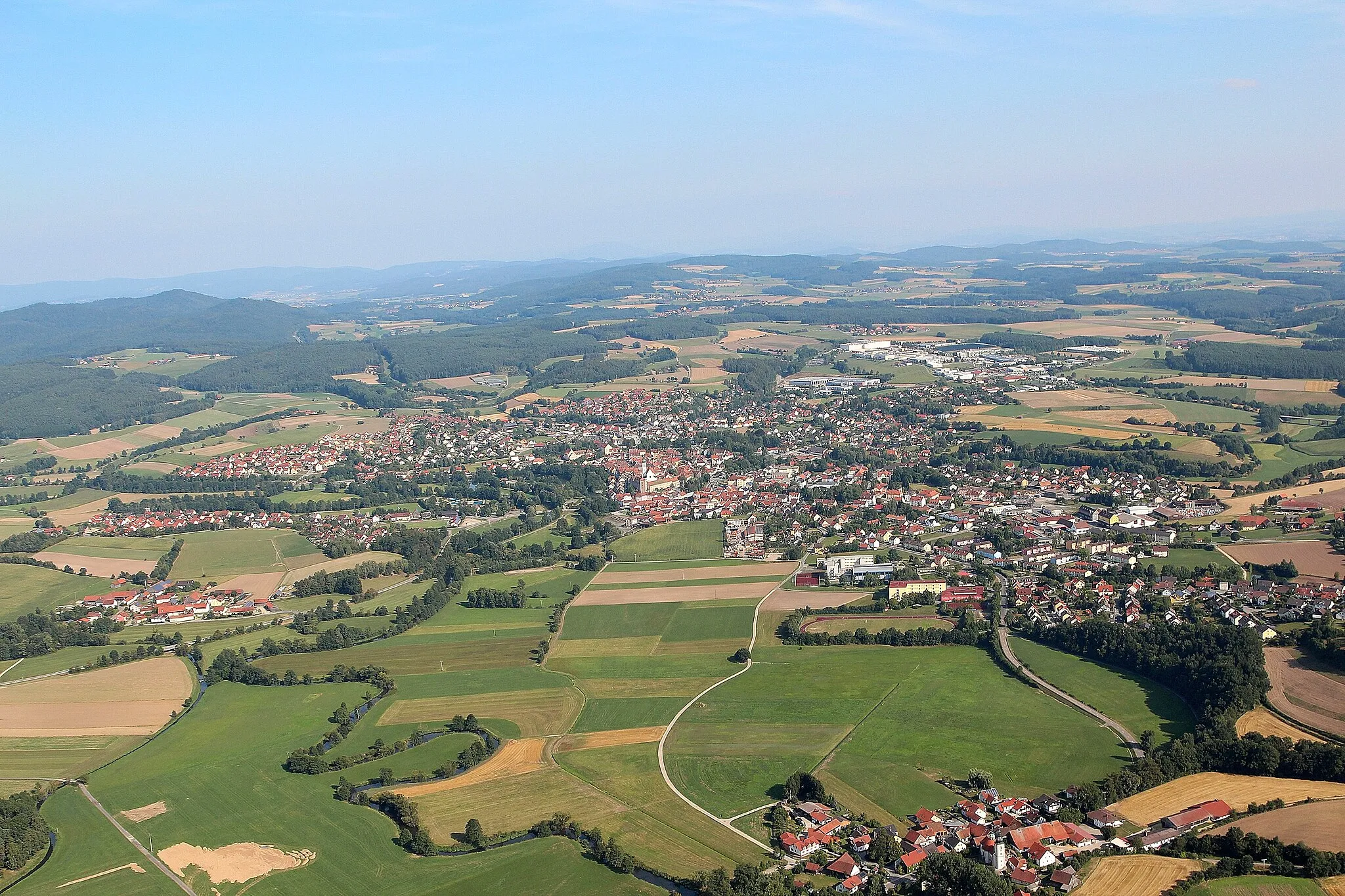
Start: Lengfeld Village centerPettendorf: Cycling through the rolling landscapes of Oberpfalz
Pettendorf is a village in the Oberpfalz region of Germany. From a cyclist's perspective, it offers a mix of flat and hilly terrain, making it suitable for both road and gravel cycling. The locality is surrounded by beautiful countryside, with rolling landscapes and charming villages to explore. One famous cycling climb nearby is Kurze Steige, known for its steep gradient and challenging ascent. Cyclists can also enjoy riding along the Regen River or exploring the nearby forests and nature reserves. Overall, Pettendorf offers scenic cycling routes and a variety of terrains for riders to enjoy.1 km
1 km
Eichelberg536 mPeakThe Eichelberg offers beautiful views of the surrounding countryside, perfect for a quick photo stop.
4 km
4 km
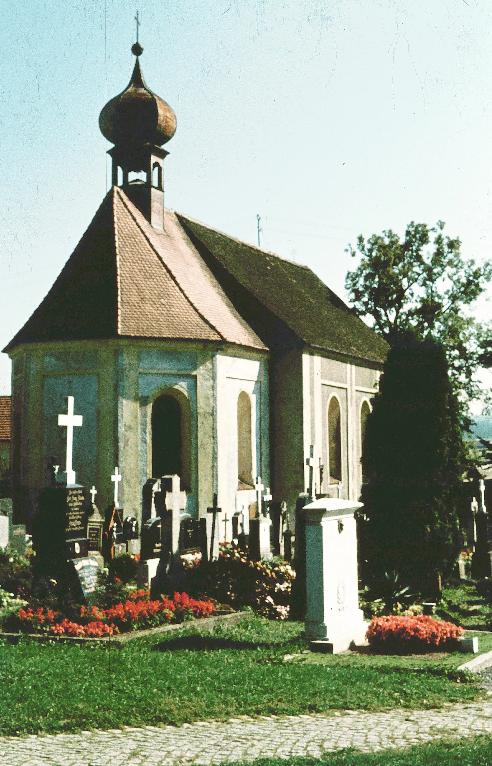
ErzhäuserVillageErzhäuser is a charming village with traditional Bavarian architecture and a peaceful atmosphere.
26 km
26 km
Hirtenberg593 mPeakHirtenberg is a popular hiking destination that offers stunning vistas of the surrounding hills and forests.
40 km
40 km
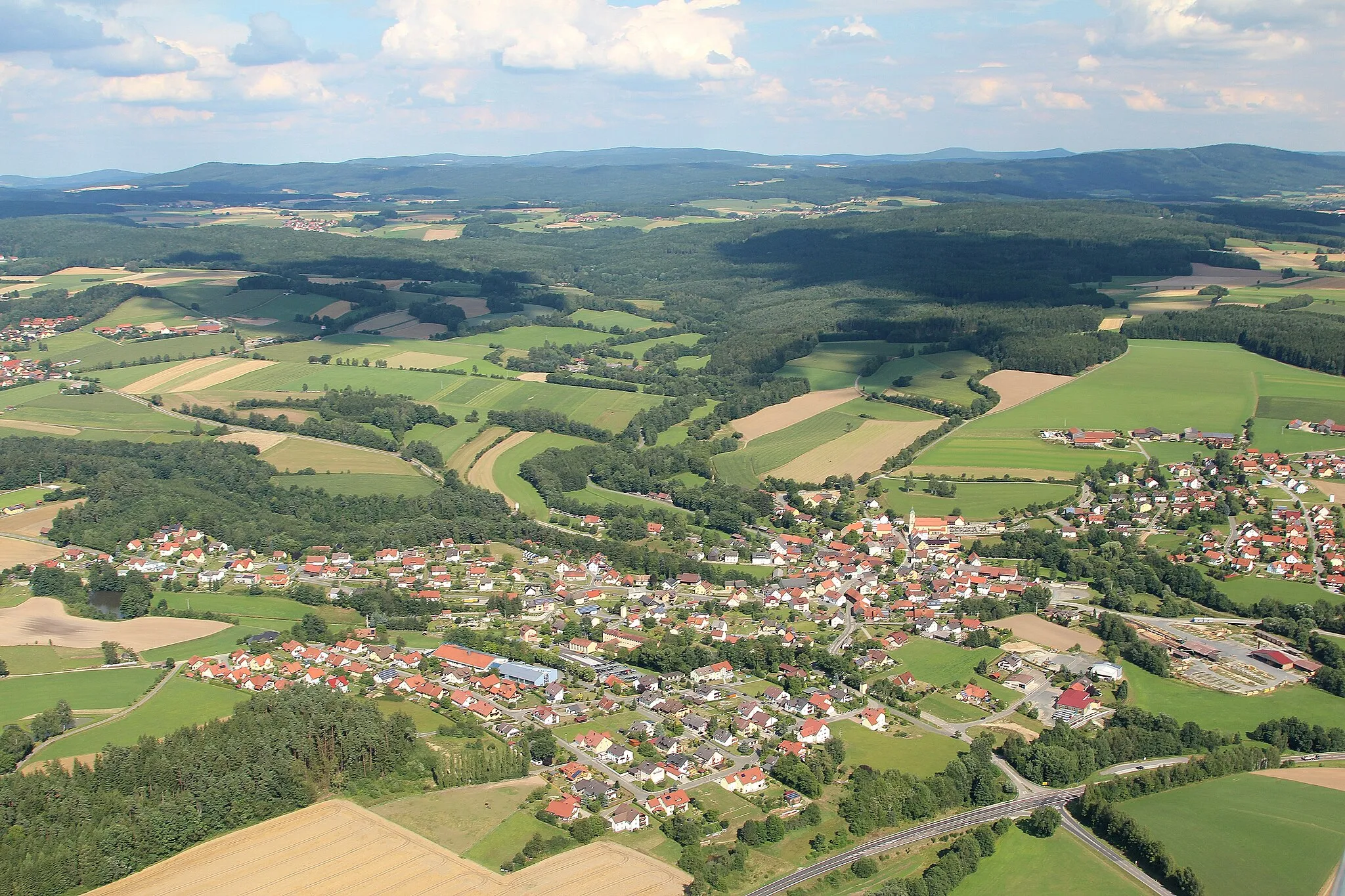
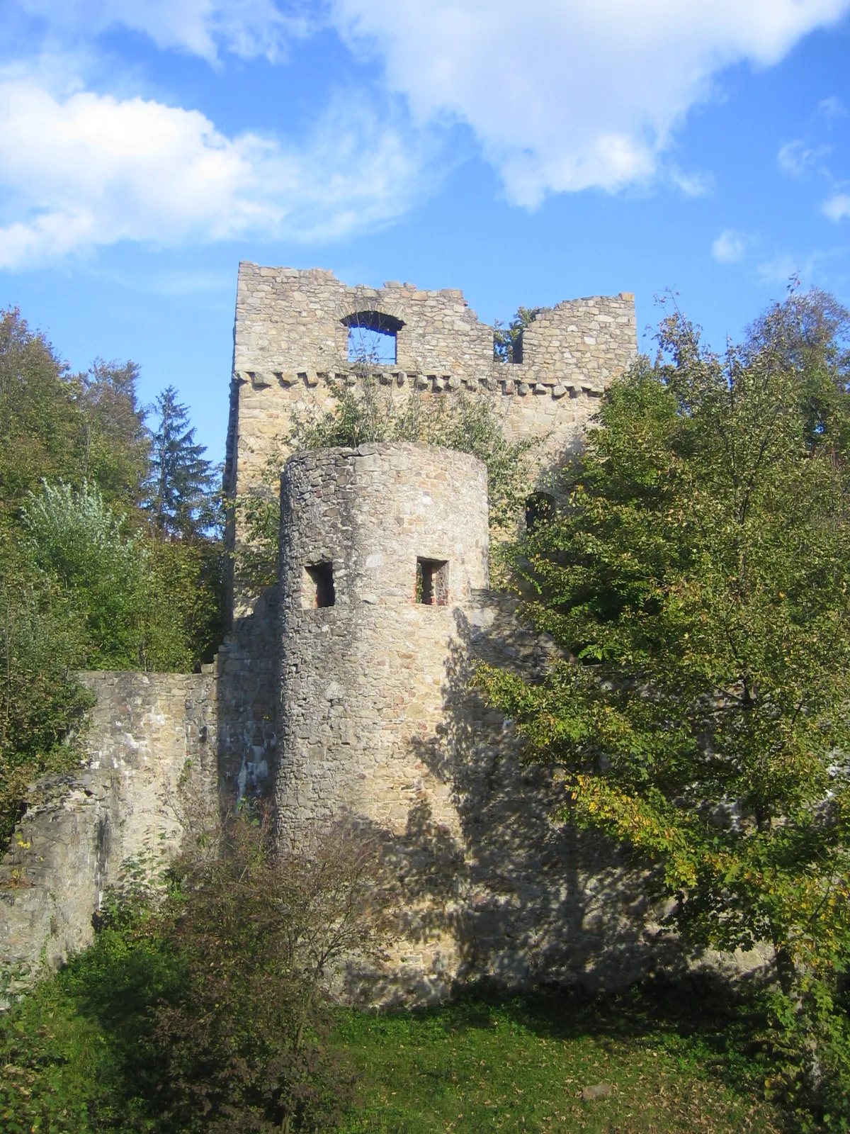
WenzenbachVillageWenzenbach is home to an impressive castle and is worth a visit to explore its history and architecture.
50 km
50 km
SchlossbergturmViewpointThe Schlossbergturm is a historic tower offering panoramic views of the region's rolling hills and countryside.
61 km
61 km
Hallerberg426 mPeakHallerberg is a scenic hill with a peaceful atmosphere, perfect for a picnic or a moment of contemplation.
75 km
75 km
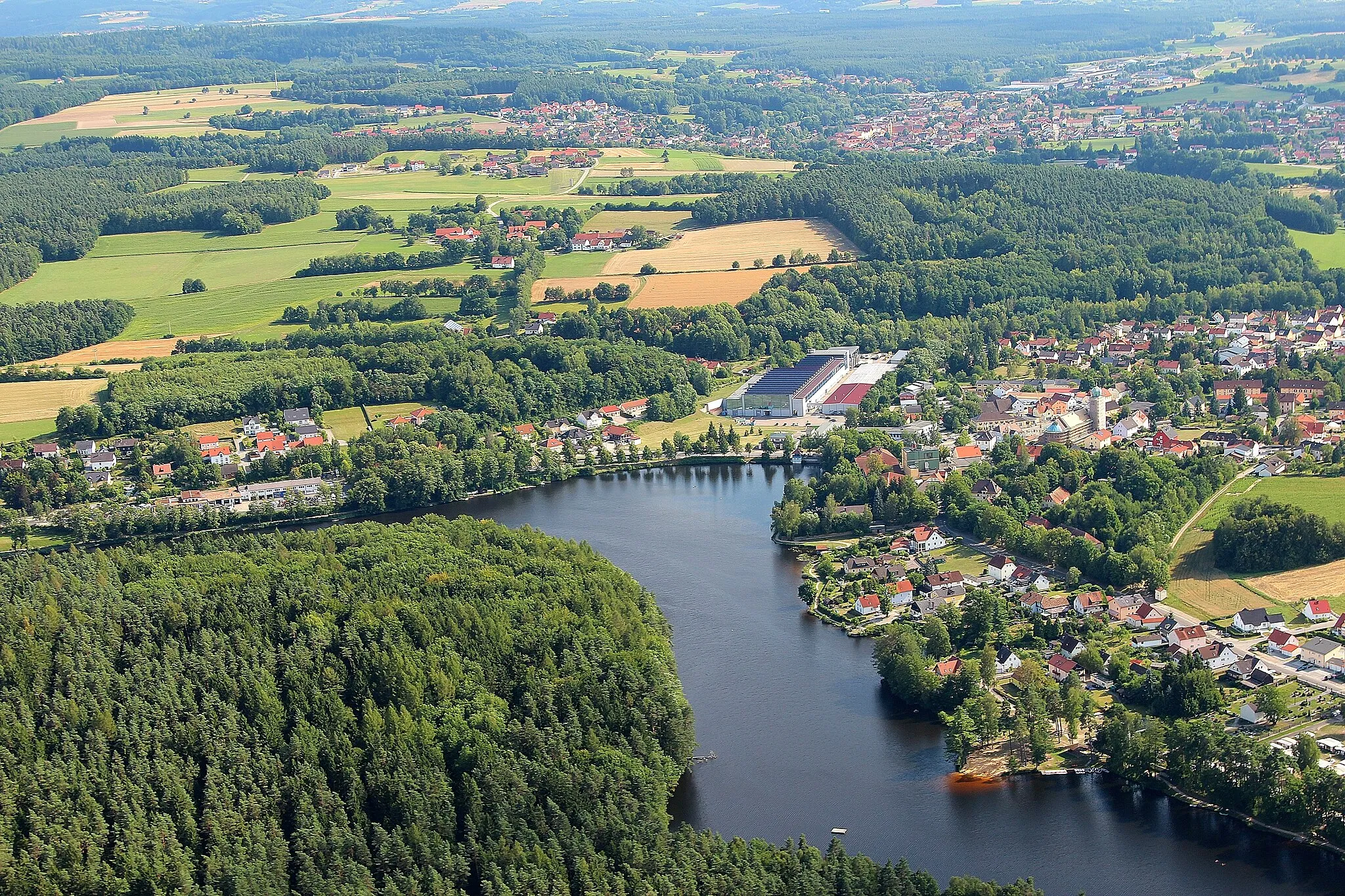
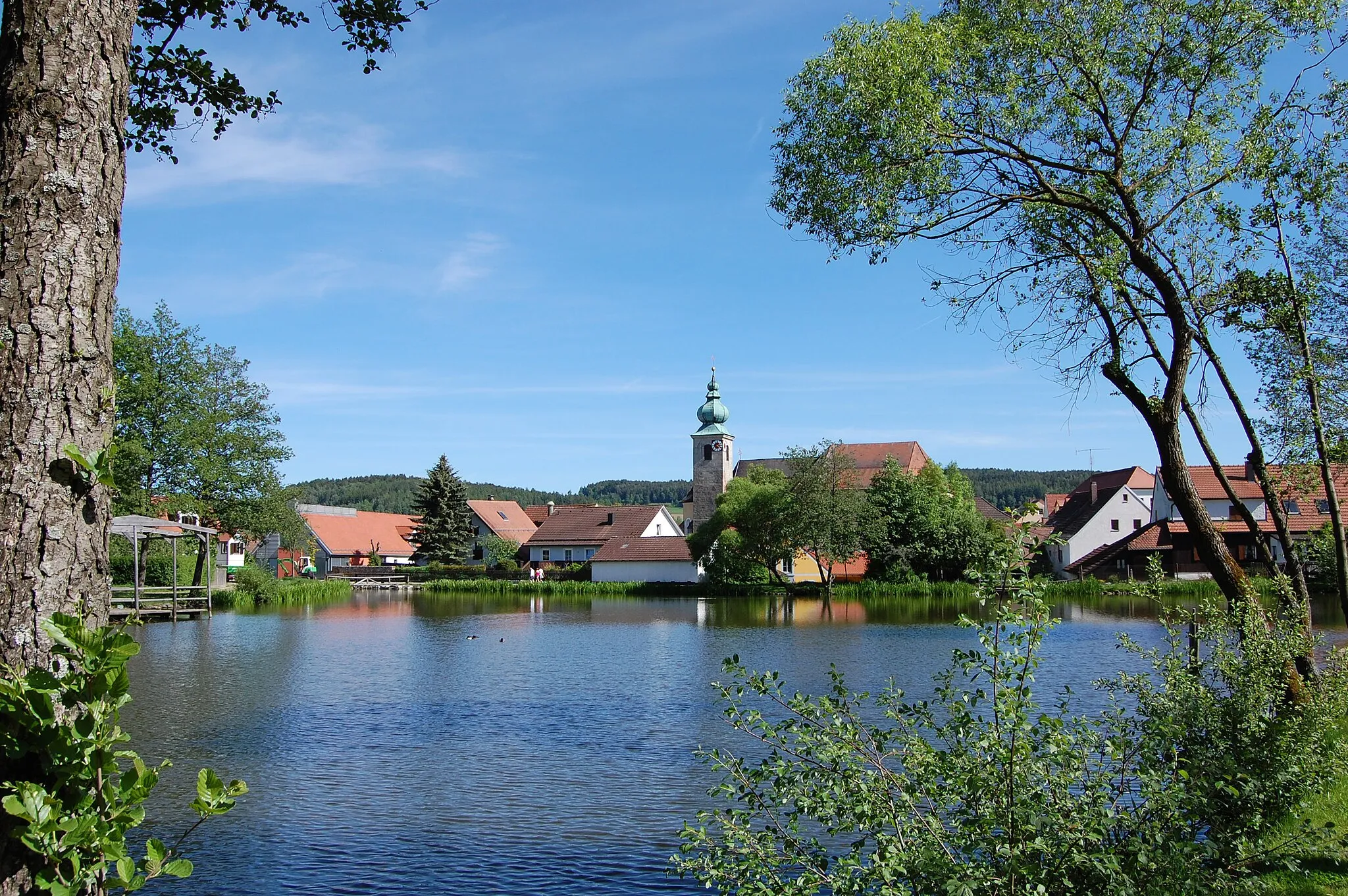
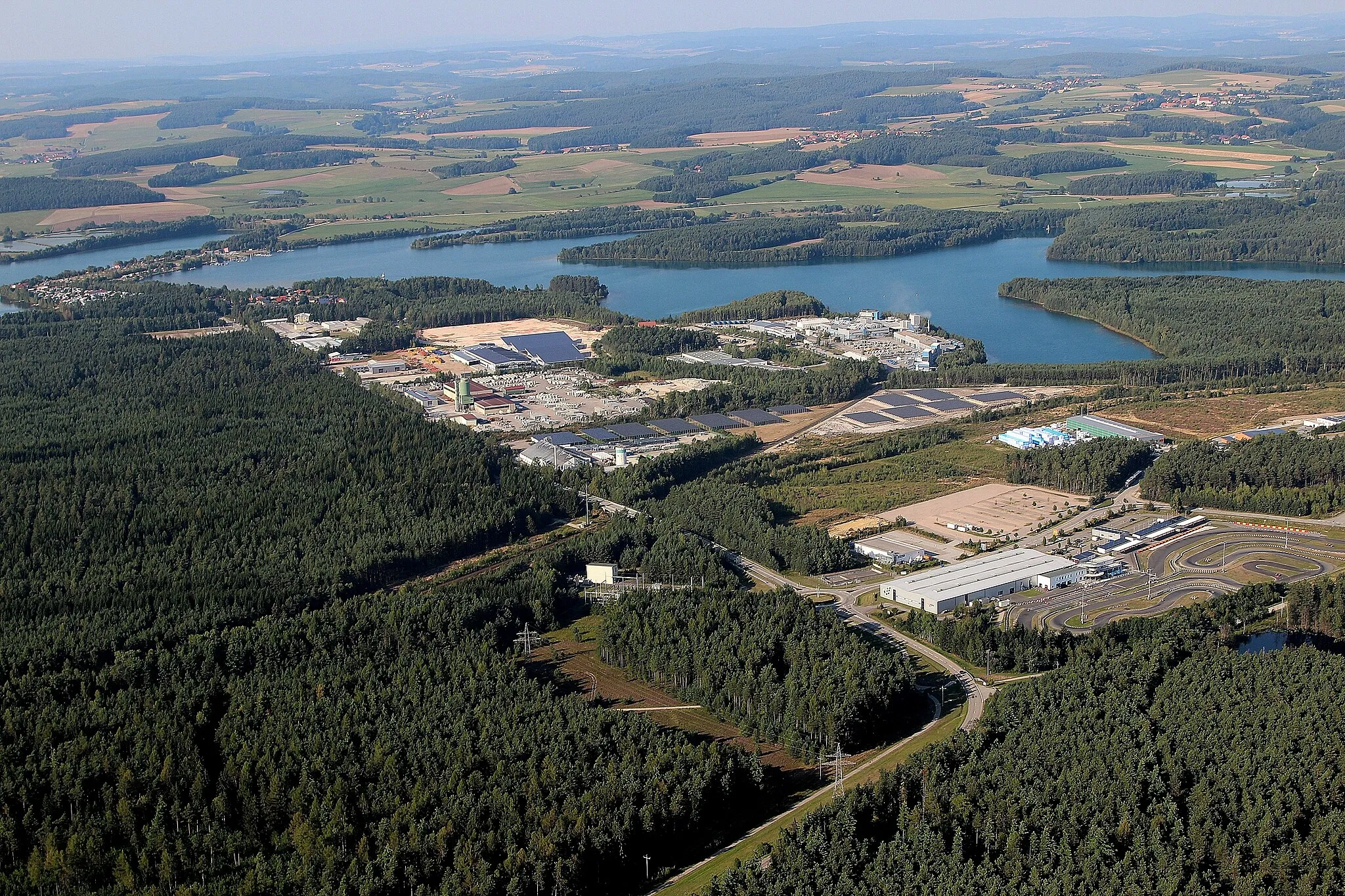
Steinberg am SeeVillageSteinberg am See is a charming town located near a beautiful lake, perfect for a refreshing swim or boat ride.
88 km
88 km
FuhrnVillageFuhrn is a small village known for its traditional Bavarian architecture and scenic surroundings.
90 km
90 km
Zanglberg502 mPeakZanglberg offers stunning views of the countryside and is a popular spot for hikers and nature lovers.
93 km
93 km
Finish: Lengfeld Village centerPettendorf: Cycling through the rolling landscapes of Oberpfalz
Cycling routes nearby: