Vibrant cycling destination near iconic natural rock formations.
Cycling routes from Hinterweidenthal
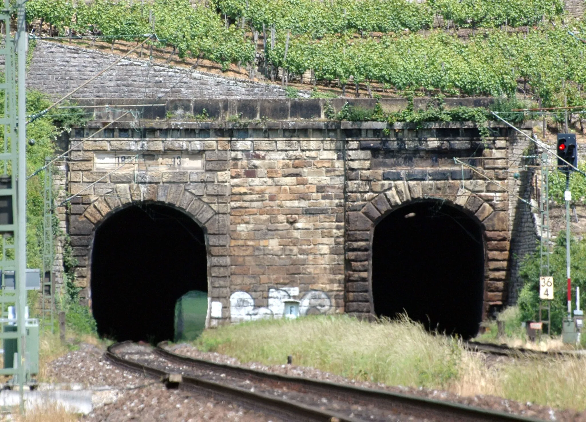
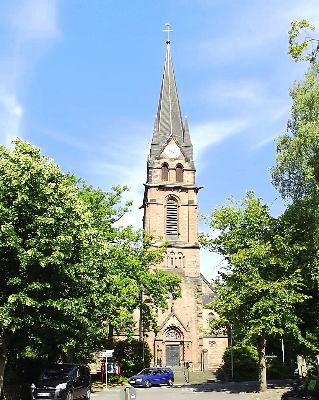
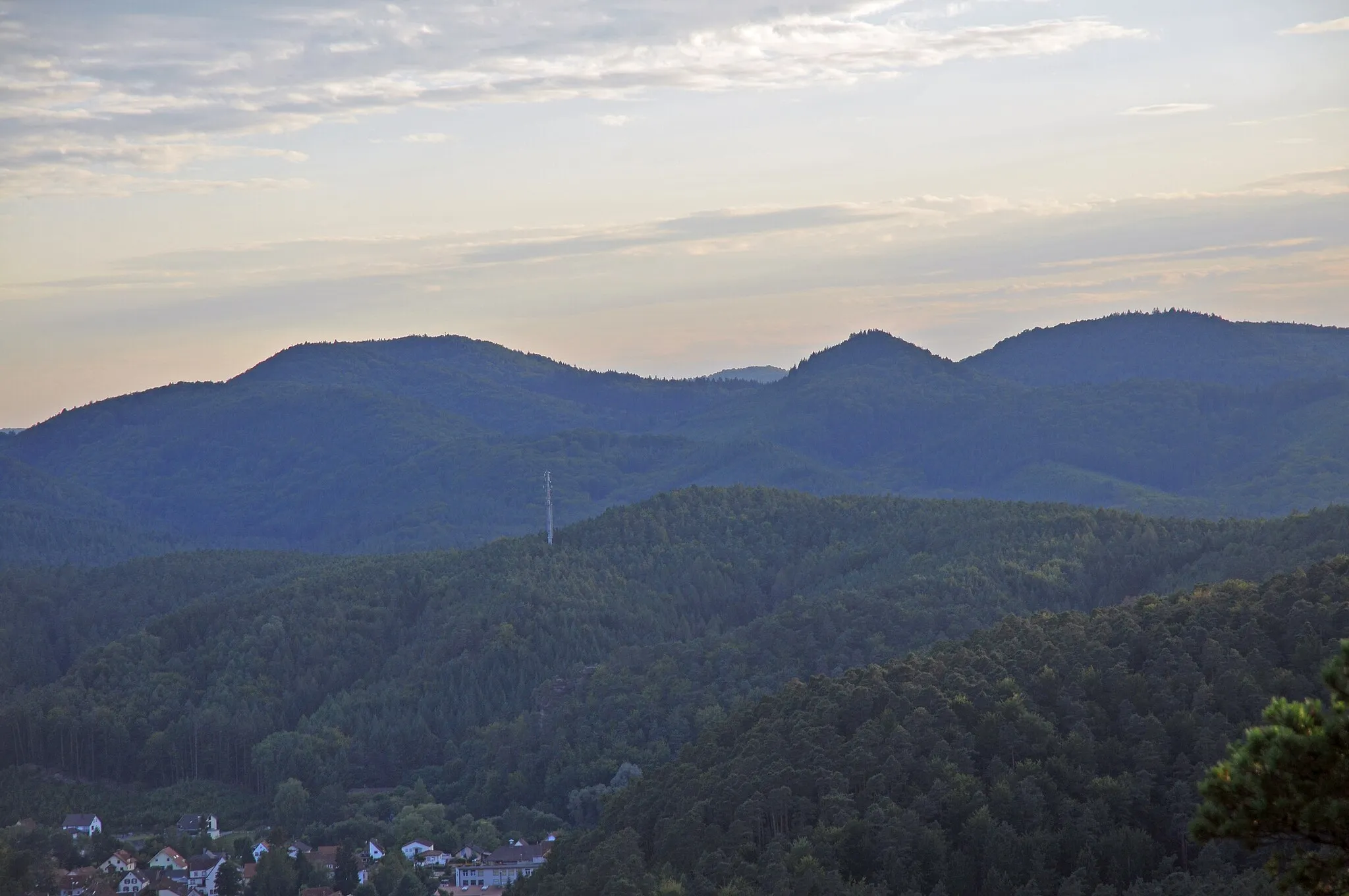
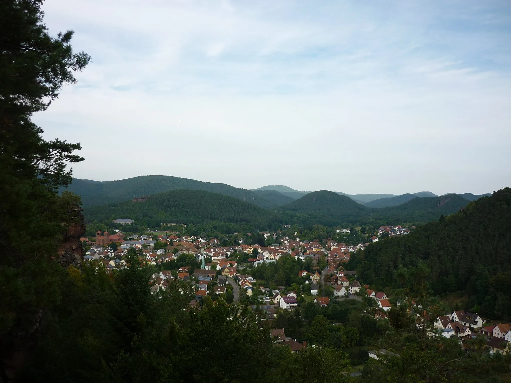
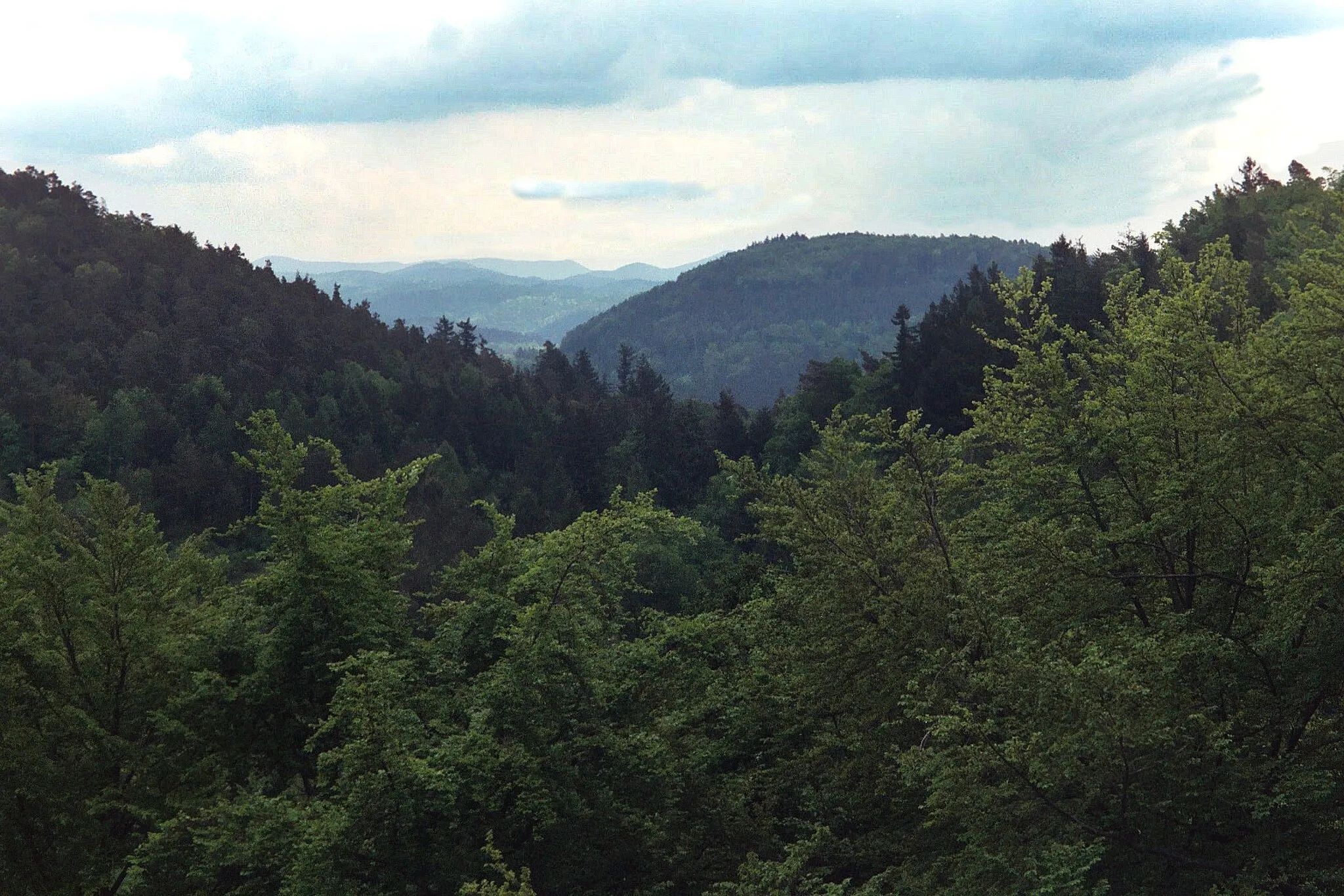
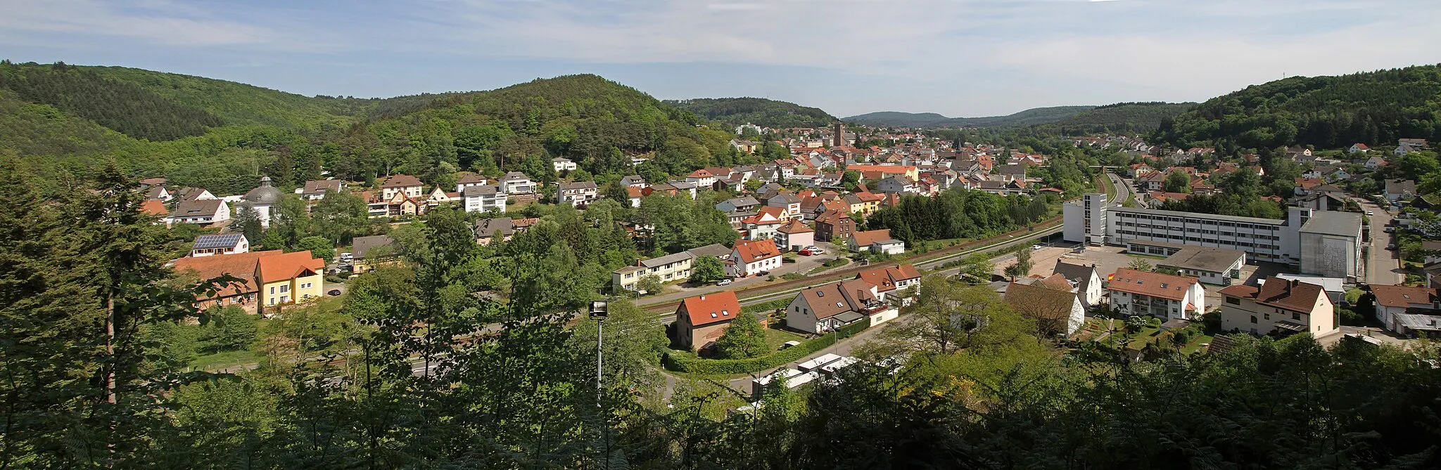
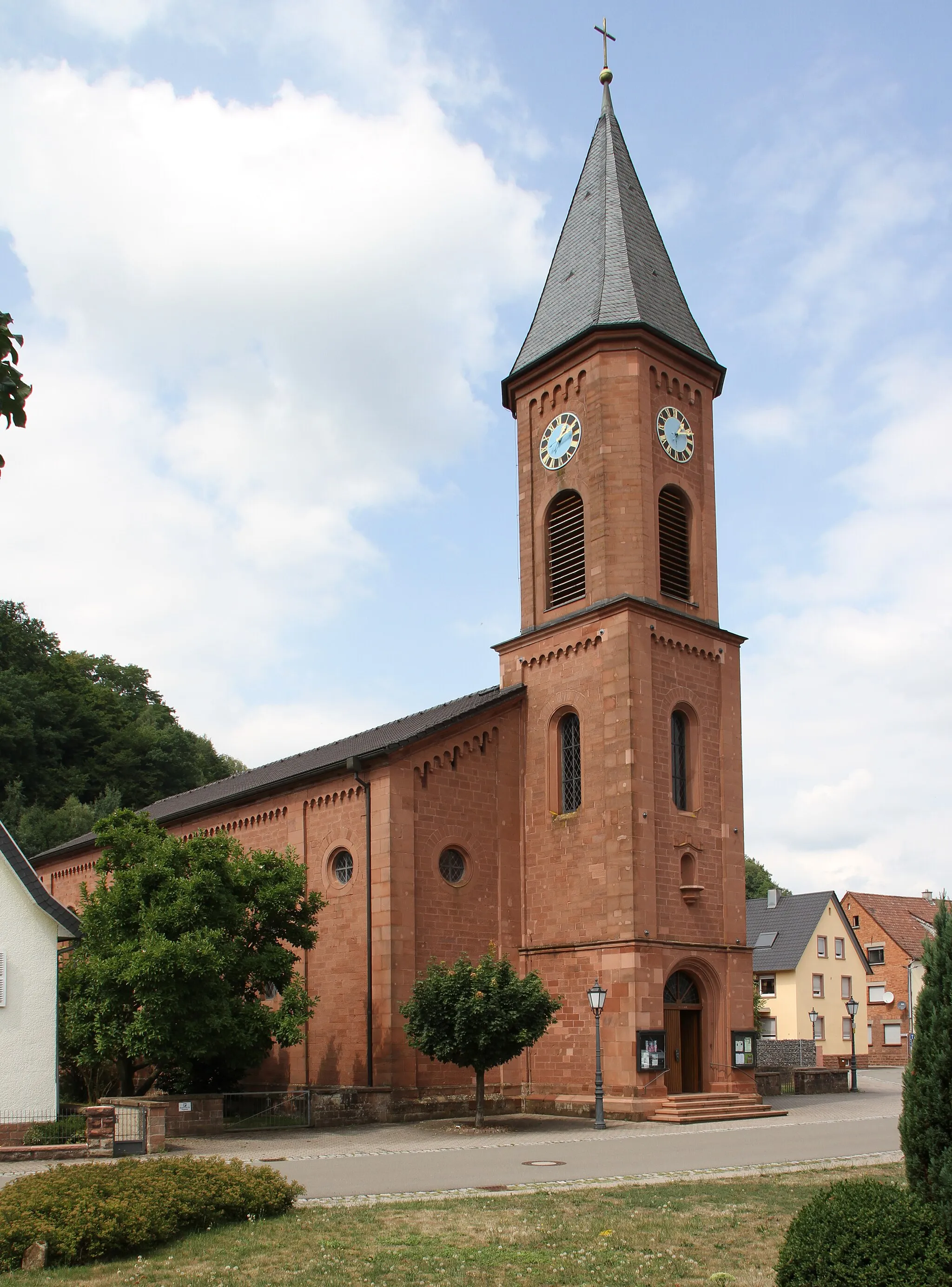
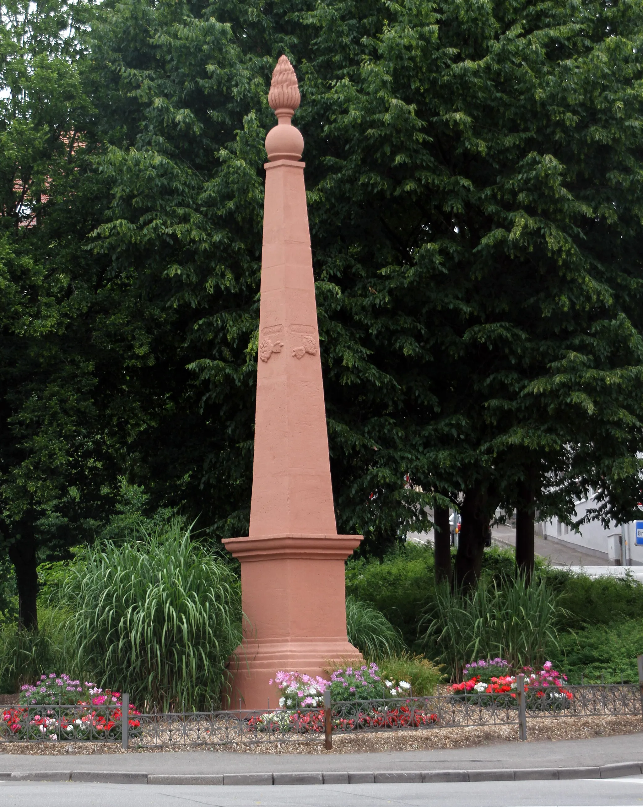
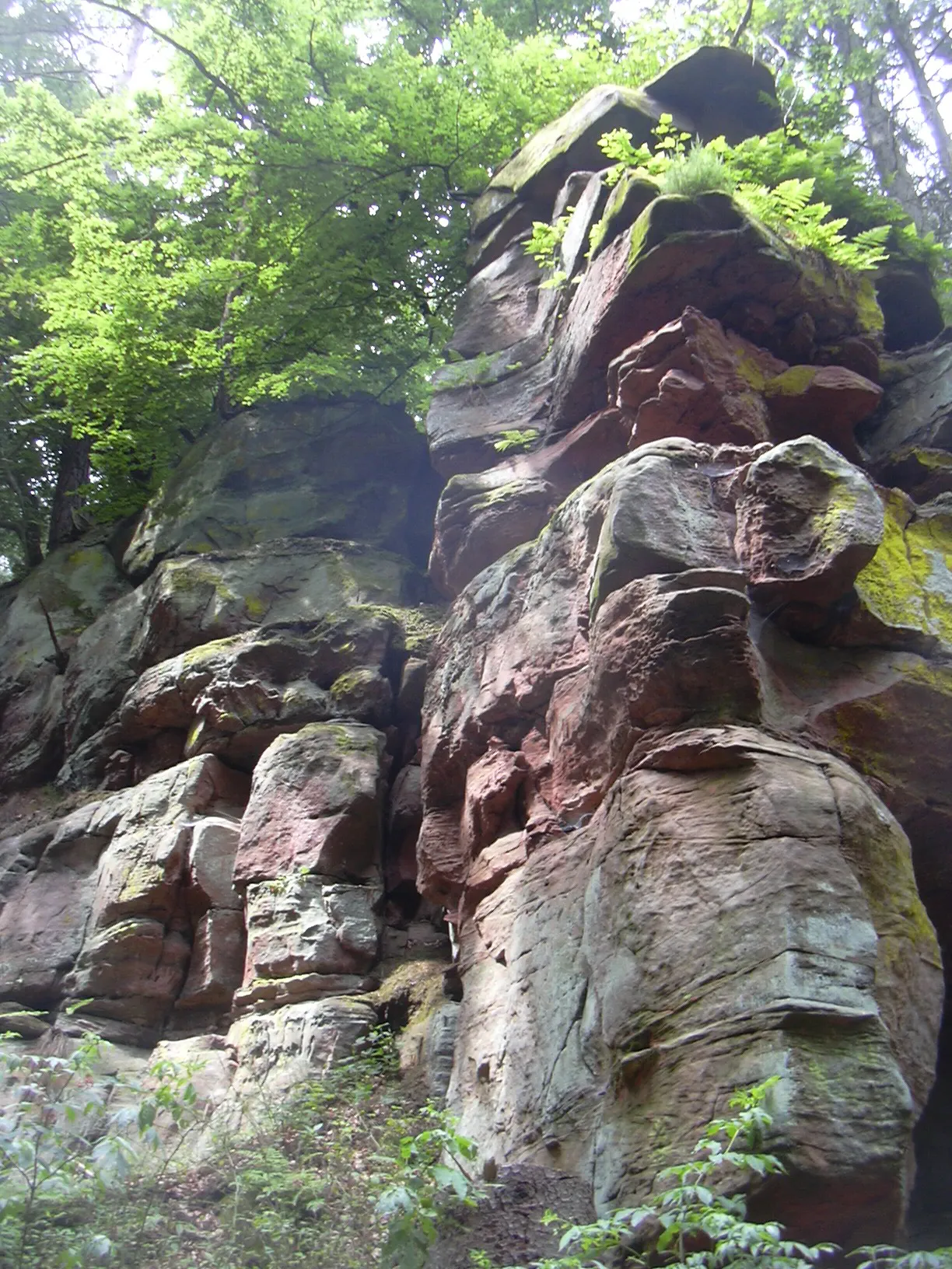
Hinterweidenthal is a locality situated in Rheinhessen-Pfalz, Germany. It offers a range of cycling routes suitable for both road and gravel cyclists. The area is known for its diverse landscapes, including forests, rivers, and countryside, providing cyclists with a varied and enjoyable cycling experience. Furthermore, Hinterweidenthal is located near the famous Dahner Felsenland, a natural rock formation that is popular for climbing. Cyclists visiting Hinterweidenthal can enjoy exploring the beautiful surroundings and take advantage of the well-maintained cycling routes.

Embark on an thrilling road cycling adventure in Rheinhessen-Pfalz.
Enjoy a thrilling road cycling experience on this 97 km circuit starting from Hinterweidenthal. With an ascent of 1566 m, this route promises a good challenge for well-trained amateurs. Discover highlights like Teufelstisch, Münchweiler an der Rodalb, and Pfaffenberg along the way.
Explore the Wilderness
Embark on an adventurous gravel ride through Rheinhessen-Pfalz's wild landscapes.
Discover the untamed beauty of Rheinhessen-Pfalz on this thrilling gravel route starting near Hinterweidenthal. Immerse yourself in scenic wilderness, conquer challenging climbs, and enjoy peaceful solitude. This route is ideal for adventure-seeking cyclists who crave the freedom of exploration.

Discover the beauty of Handschuh-Kopf and the historic Burg Gräfenstein on this cycling adventure
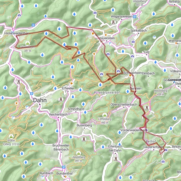
This road cycling route near Hinterweidenthal offers a scenic and challenging ride through Rheinhessen-Pfalz. With a distance of 77 km and an ascent of 1343 m, this route is suited for well-trained amateurs. The Handschuh-Kopf rock formation is a major highlight, providing stunning panoramic views of the surrounding countryside. Another highlight is Burg Gräfenstein, a medieval castle perched on a hilltop, offering impressive architecture and historical significance. Throughout the ride, you'll also experience the natural beauty of the region, with quaint villages and picturesque landscapes along the way. Overall, this route provides a fulfilling and rewarding cycling experience, combining natural and historical attractions.

Embark on an exciting gravel adventure through the picturesque landscapes near Hinterweidenthal.
Discover the beauty of the countryside on this 44 km gravel cycling route starting from Hinterweidenthal. With an elevation gain of 912 m, this route is suitable for intermediate gravel riders. Explore highlights such as Platte, Grünberg, and Dahn along the way.
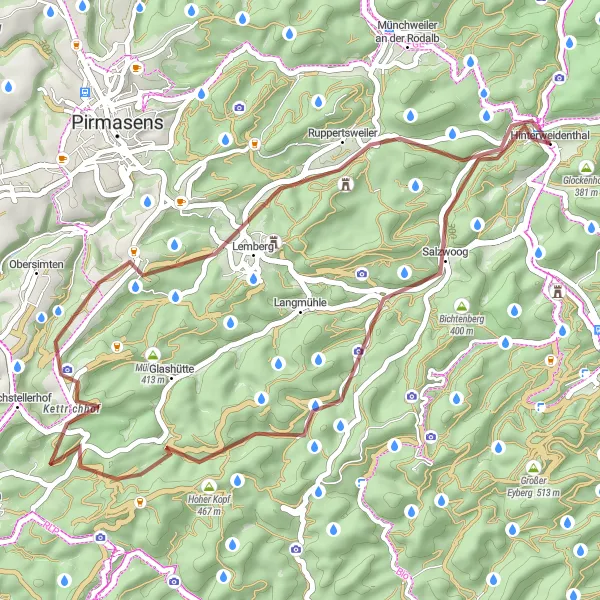
Discover the hidden gems around Hinterweidenthal on this challenging gravel loop.
Embark on a thrilling gravel adventure in Rheinhessen-Pfalz with this loop starting near Hinterweidenthal. The route will take you through picturesque villages, dense forests, and rolling terrain. Be prepared for challenging climbs and exciting descents as you explore the beautiful countryside.
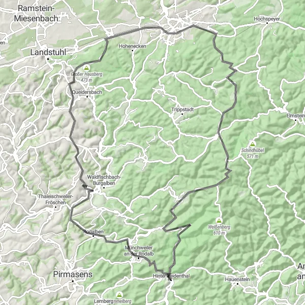
Discover the scenic beauty of Rheinhessen-Pfalz on this challenging road cycling route.
Experience the breathtaking landscapes of Rheinhessen-Pfalz on this road cycling route. With a total distance of 119 km and an elevation gain of 1860 m, this loop is a great challenge for well-trained amateurs. Marvel at highlights such as Wackenkopf, Clausen, and Spießberg along the way.
Scenic Gravel Loop
Immerse yourself in nature on this scenic gravel loop near Hinterweidenthal.
Experience the beauty of Rheinhessen-Pfalz on this picturesque gravel loop starting near Hinterweidenthal. Enjoy stunning views, peaceful forests, and impressive landmarks along the way. This route is perfect for cyclists looking to escape the hustle and bustle of city life and reconnect with nature.
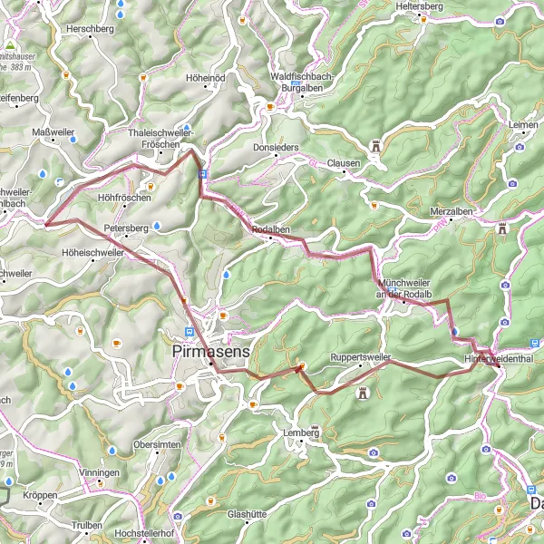
Embark on a thrilling gravel adventure through the stunning landscapes near Hinterweidenthal.
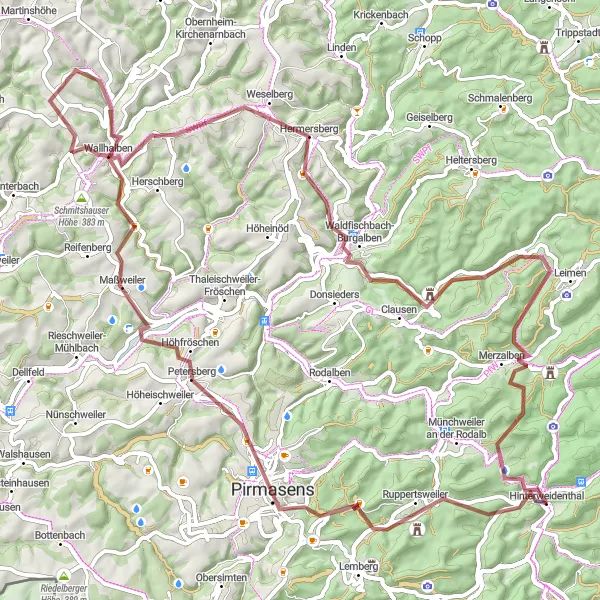
Experience the thrill of gravel cycling on this 48 km route starting from Hinterweidenthal. With an ascent of 717 m, this gravel adventure is suitable for intermediate riders. Explore highlights such as Teufelstisch, Pirmasens, and Imsbacher Eck along the way.
Test your limits on this epic road cycling route in Rheinhessen-Pfalz.
Embark on a challenging and unforgettable road cycling adventure in Rheinhessen-Pfalz. This route promises stunning scenery, intense climbs, and exciting descents that will push you to your limits. Experience the thrill of conquering legendary climbs and soak up the beauty of this captivating region.

Explore the beautiful Handschuh-Kopf and Trifels Castle on this scenic cycling route
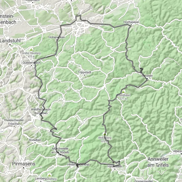
This route takes you through picturesque Rheinhessen-Pfalz, where you'll experience stunning landscapes and historical landmarks. With a total distance of 97 km and an ascent of 1776 m, this road cycling route is suitable for well-trained amateurs. The highlight of the route is the Handschuh-Kopf, a unique rock formation offering breathtaking panoramic views. Another notable highlight is the Trifels Castle, a medieval fortress with a rich history. Both of these attractions are definitely worth stopping by for their cultural and scenic appeal. Overall, this route promises a memorable and rewarding cycling experience.
Cycling routes nearby:

Nearby regions: