Hinterweidenthal - Wackenkopf Loop
A road cycling route starting from Hinterweidenthal
Discover the scenic beauty of Rheinhessen-Pfalz on this challenging road cycling route.
Map
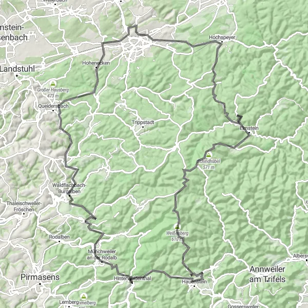
Experience the breathtaking landscapes of Rheinhessen-Pfalz on this road cycling route. With a total distance of 119 km and an elevation gain of 1860 m, this loop is a great challenge for well-trained amateurs. Marvel at highlights such as Wackenkopf, Clausen, and Spießberg along the way.
road
119 km
1860 m
Tough
Route profile
Highlights on the route
0 km
0 km
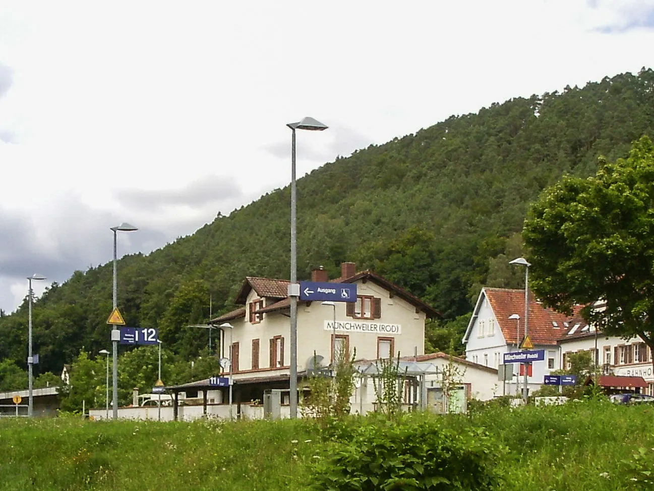
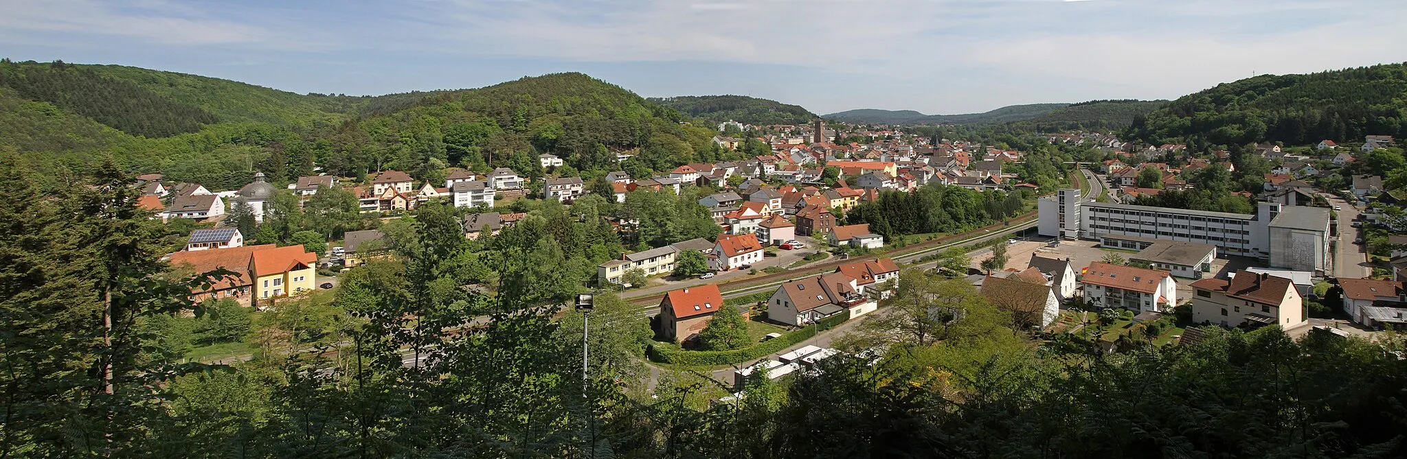
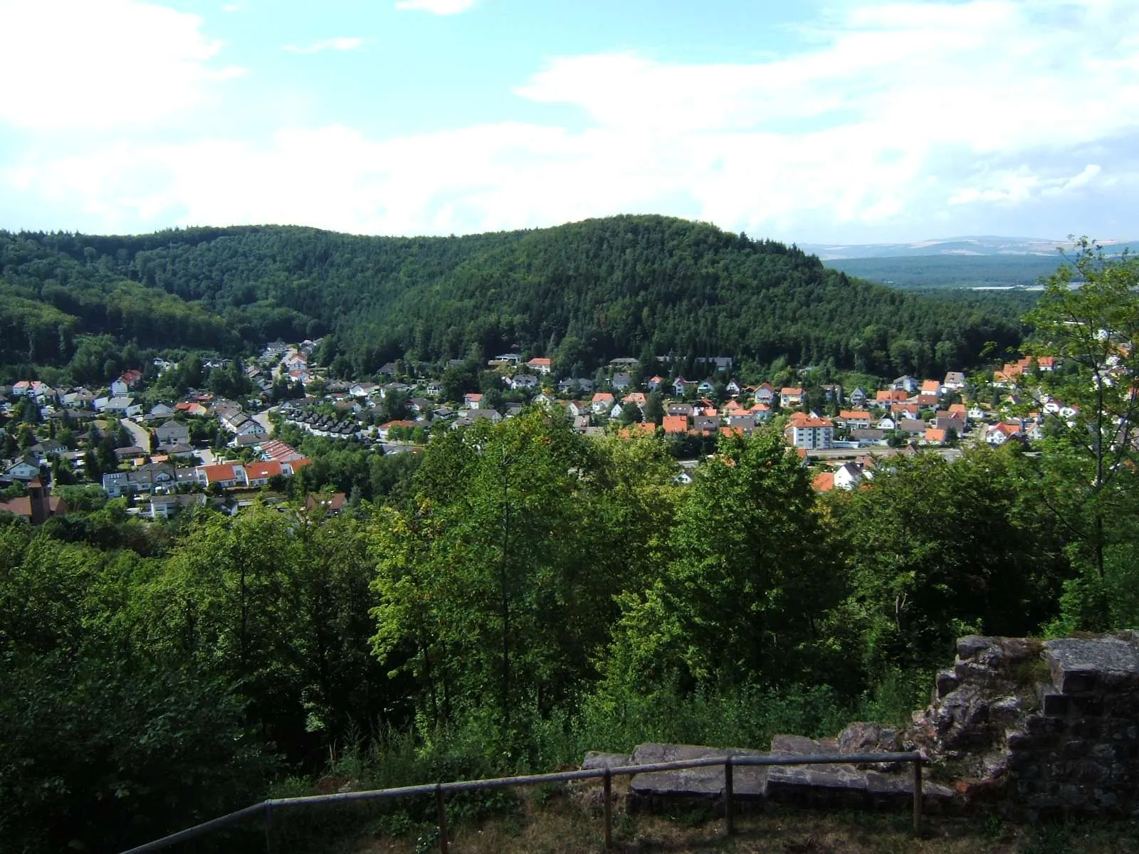
Start: Hinterweidenthal Village centerHinterweidenthal: Vibrant cycling destination near iconic natural rock formations.
Hinterweidenthal is a locality situated in Rheinhessen-Pfalz, Germany. It offers a range of cycling routes suitable for both road and gravel cyclists. The area is known for its diverse landscapes, including forests, rivers, and countryside, providing cyclists with a varied and enjoyable cycling experience. Furthermore, Hinterweidenthal is located near the famous Dahner Felsenland, a natural rock formation that is popular for climbing. Cyclists visiting Hinterweidenthal can enjoy exploring the beautiful surroundings and take advantage of the well-maintained cycling routes.12 km
12 km
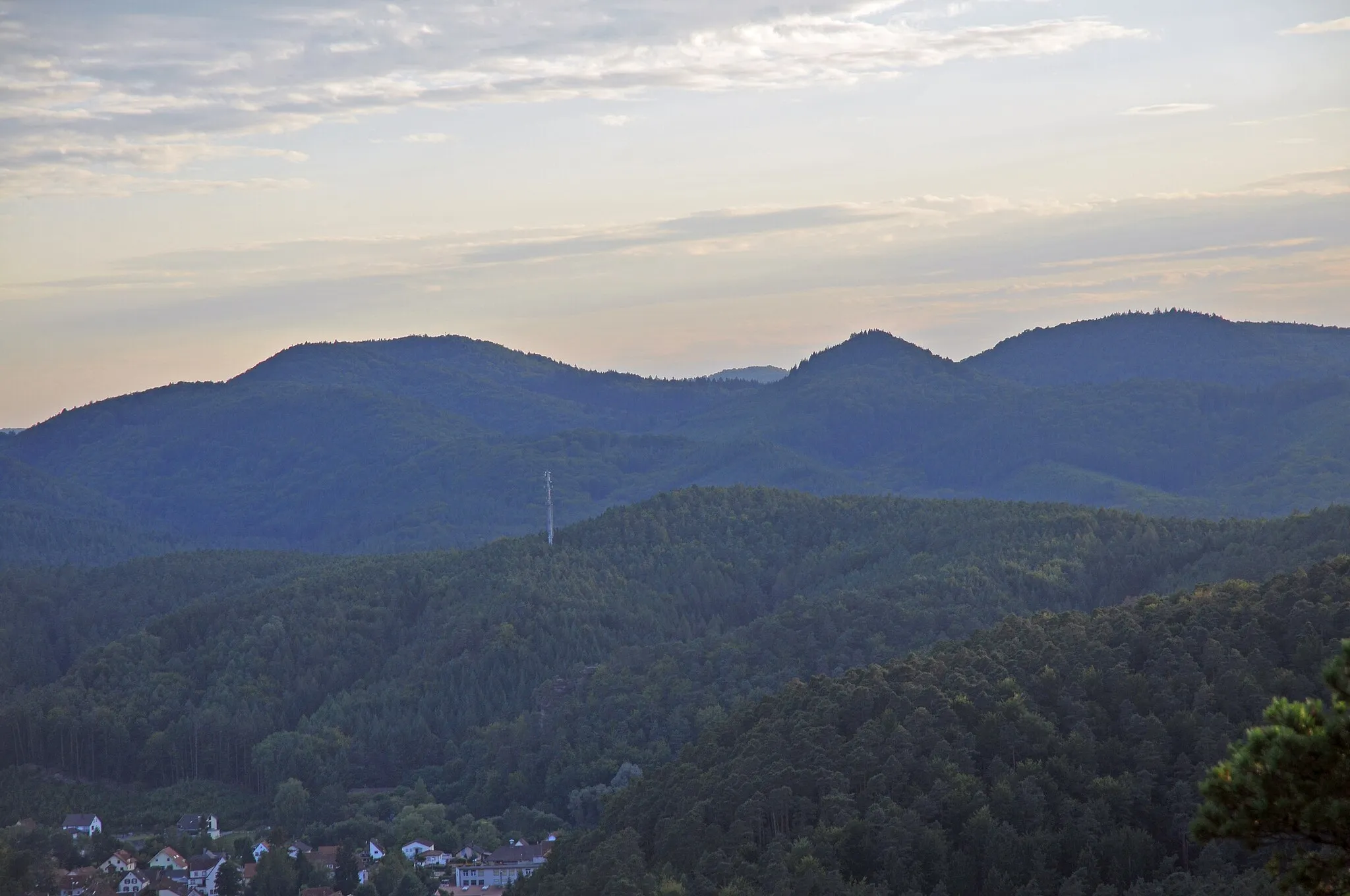
Wackenkopf439 mPeakAt 12 km along the route, Wackenkopf offers stunning panoramic views of the surrounding landscapes.
13 km
13 km
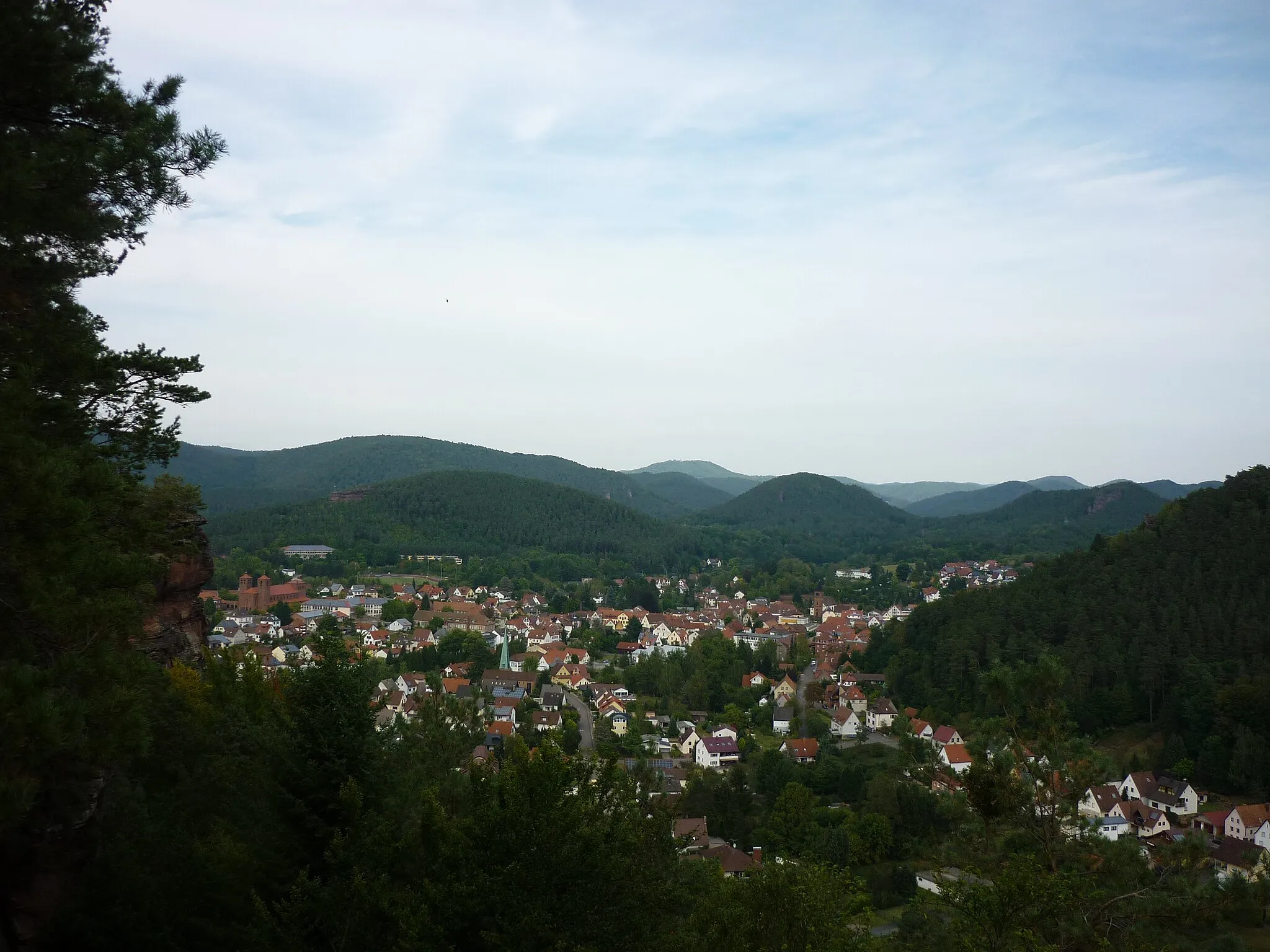
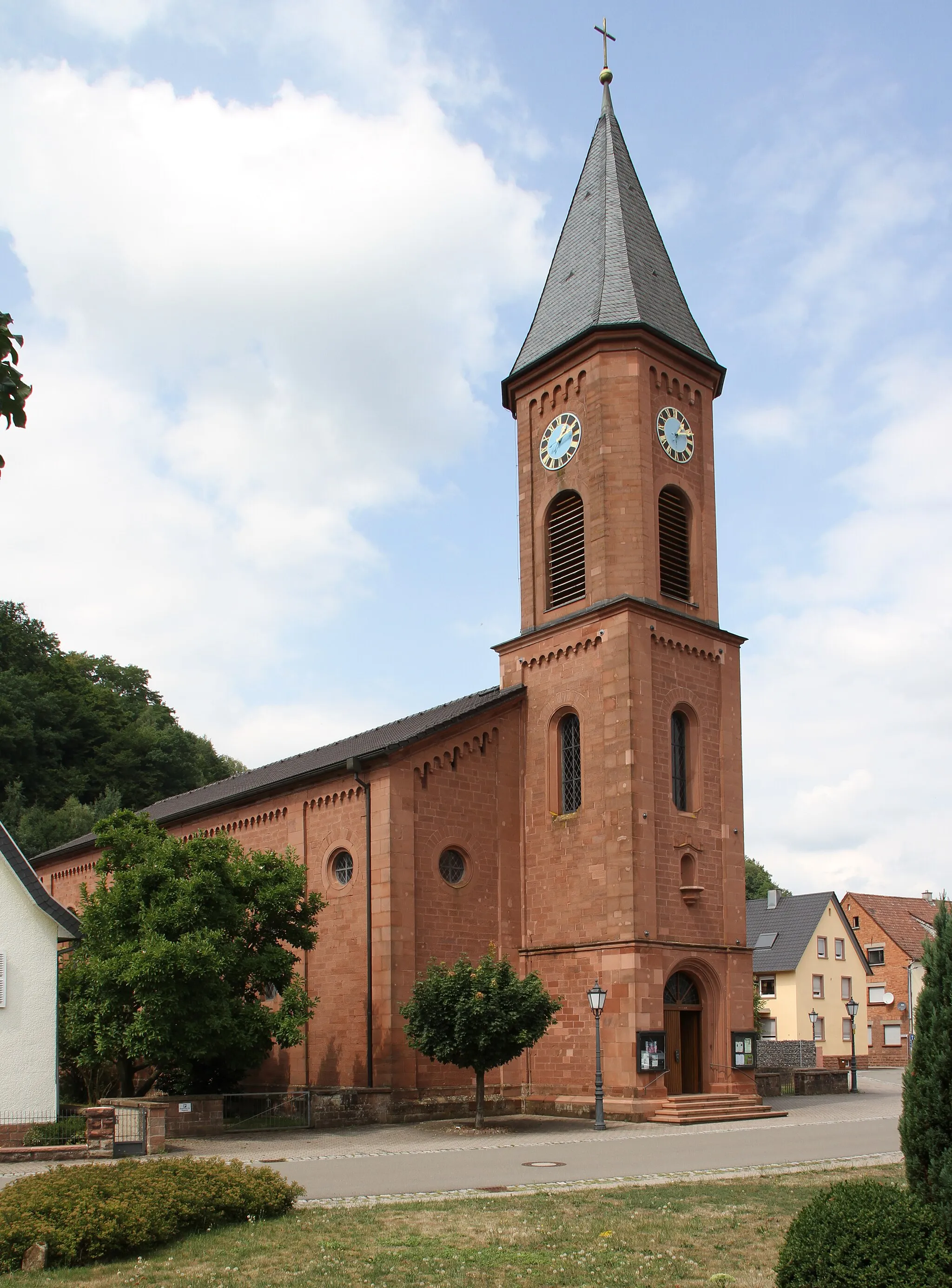
ClausenVillageLocated at 13 km from the start, Clausen is a charming village with traditional German architecture.
24 km
24 km
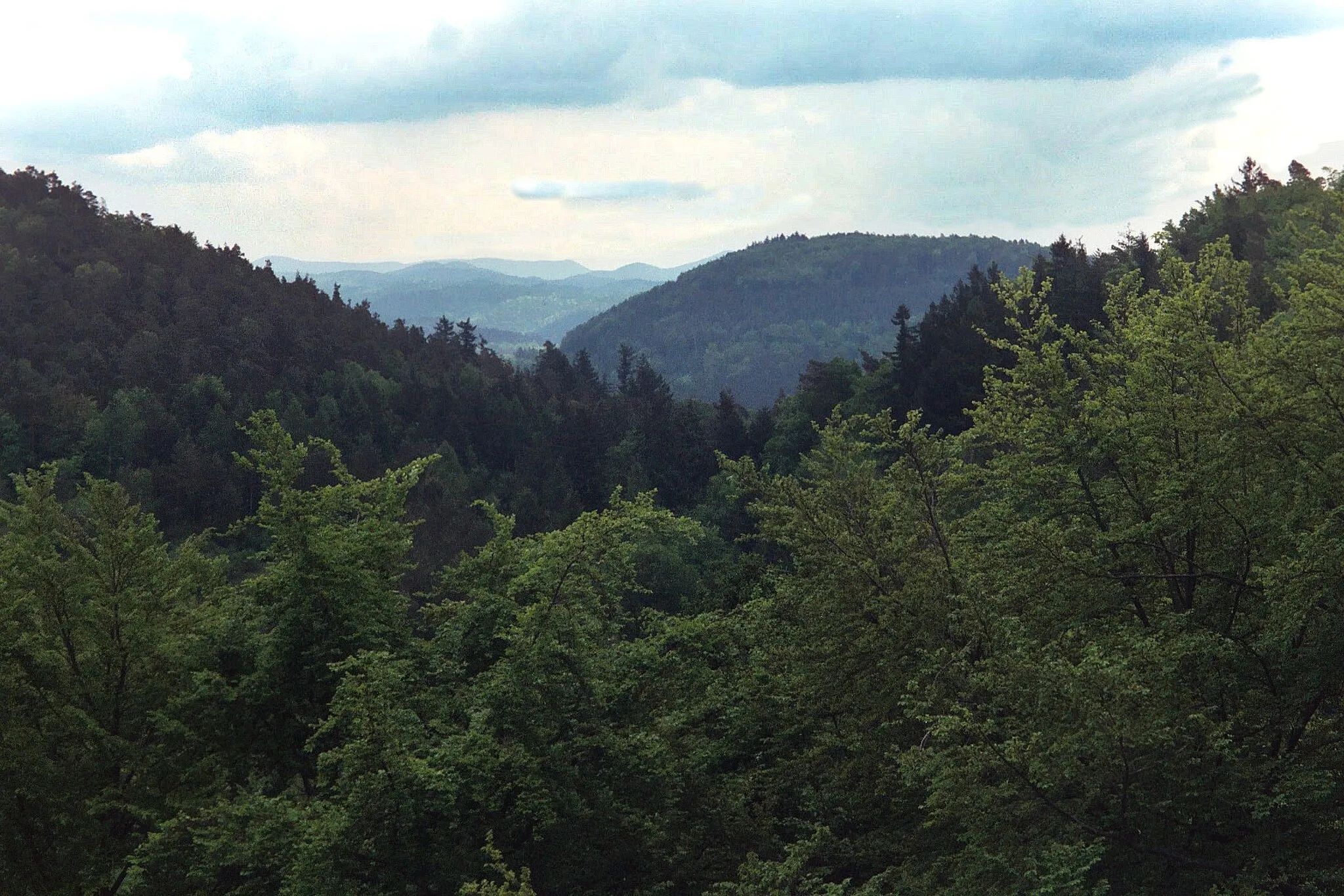
Spießberg360 mPeakSpießberg, at 24 km on the route, is a popular spot for hikers and offers breathtaking views.
50 km
50 km
SchlachtenturmViewpointSchlachtenturm, located at 50 km, is an ancient tower that served as a lookout point during historic battles.
52 km
52 km
KaiserslauternCityKaiserslautern, 52 km into the route, is a city known for its vibrant cultural scene and historic landmarks.
67 km
67 km
WaldleiningenVillageWaldleiningen, at 67 km, is a charming town with historic buildings and a beautiful castle.
73 km
73 km
Niederer Oselkopf428 mPeakLocated at 73 km, Niederer Oselkopf is a picturesque mountain offering scenic views.
82 km
82 km
IggelbachVillageIggelbach, at 82 km, is a small village surrounded by picturesque vineyards.
84 km
84 km
Bloskülb570 mPeakAt 84 km from the start, Bloskülb is a historic village with well-preserved architecture and beautiful landscapes.
98 km
98 km
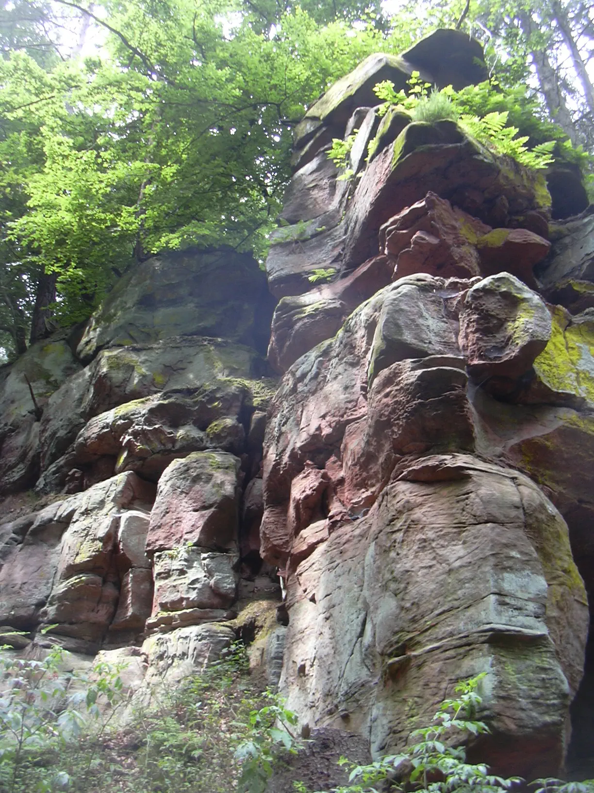
Taubenkropf505 mPeakTaubenkropf, at 98 km, is a natural rock formation with stunning views of the surrounding countryside.
108 km
108 km
WilgartswiesenVillageWilgartswiesen, located at 108 km, is a charming village with traditional timber-framed houses.
115 km
115 km
Platte417 mPeakPlatte, at 115 km, is a popular hiking spot with panoramic vistas and unique rock formations.
119 km
119 km
HinterweidenthalVillageStart and end your journey in the town of Hinterweidenthal, located at 119 km. Explore its picturesque streets and enjoy the hospitality of the locals.
119 km
119 km
Finish: Hinterweidenthal Village centerHinterweidenthal: Vibrant cycling destination near iconic natural rock formations.
Cycling routes from Hinterweidenthal:
Hinterweidenthal Adventure Loop Hinterweidenthal - Teufelstisch Circuit Hinterweidenthal - Wackenkopf Loop Hinterweidenthal Gravel Adventure II The Gravel Adventure Loop Explore the Wilderness Scenic Gravel Loop Rheinhessen-Pfalz Road Adventure Challenge and Beauty Combined Hinterweidenthal Gravel Adventure Handschuh-Kopf and Burg Gräfenstein Loop Handschuh-Kopf and Trifels Castle Loop
Cycling routes nearby: