Rolling Hills Exploration
A road cycling route starting from Lauterecken
Embark on a road cycling adventure through the rolling hills near Lauterecken.
Map
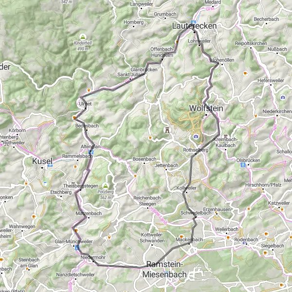
Discover the beauty of the rolling countryside on this 70-kilometer road cycling route. With an ascent of 617 meters, you'll pedal your way through charming towns and enjoy the scenic views along the way. Don't miss the opportunity to reach the summit of Hubhöhe, where you can take in the stunning panoramic vistas of the surrounding landscape.
road
70 km
617 m
Tough
Route profile
Highlights on the route
0 km
0 km
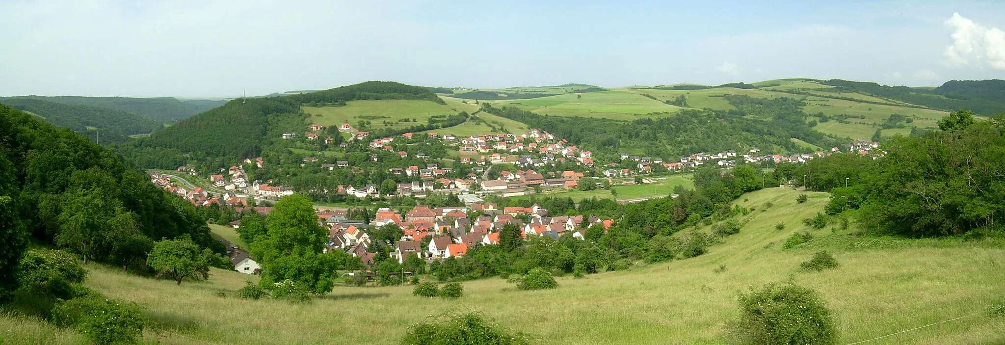
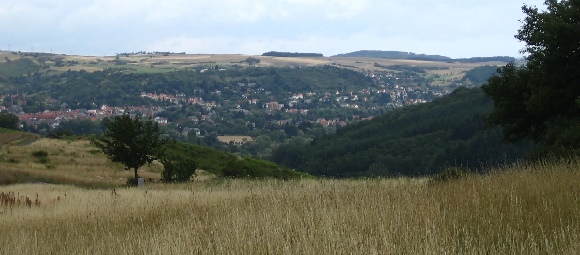
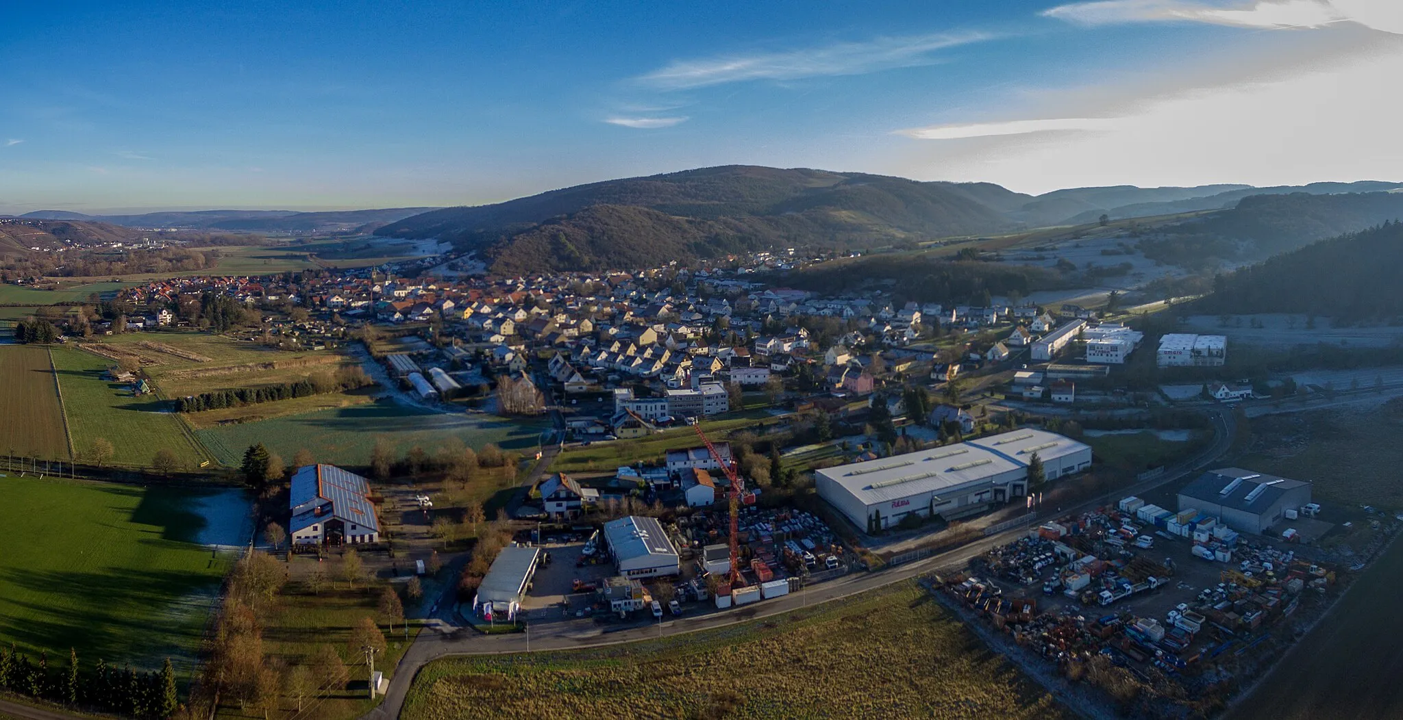
Start: Lauterecken City centerLauterecken: Cycling Oasis in Rheinhessen-Pfalz
Lauterecken in Rheinhessen-Pfalz, Germany is a charming town surrounded by beautiful nature, ideal for road and gravel cycling. The region offers a mix of flat and hilly terrain, providing diverse cycling routes. Cyclists can enjoy peaceful rides through vineyards, meadows, and forests, soaking in the natural beauty of the surroundings. Lauterecken is also renowned for its cycling events and races, attracting both professionals and enthusiasts. The town's cycling infrastructure is well-developed, with designated bike lanes and plenty of facilities for cyclists. A famous nearby cycling spot is the Donnersberg, a challenging climb with stunning views at the top.9 km
9 km
EisenknopfViewpointEisenknopf offers a peaceful escape with its idyllic setting surrounded by lush greenery.
21 km
21 km
Mühlhöhe338 mPeakMühlhöhe provides a picturesque stopover, offering a serene atmosphere and beautiful countryside views.
26 km
26 km
MackenbachVillageMackenbach is a charming town dotted with historical buildings and traditional German architecture.
45 km
45 km
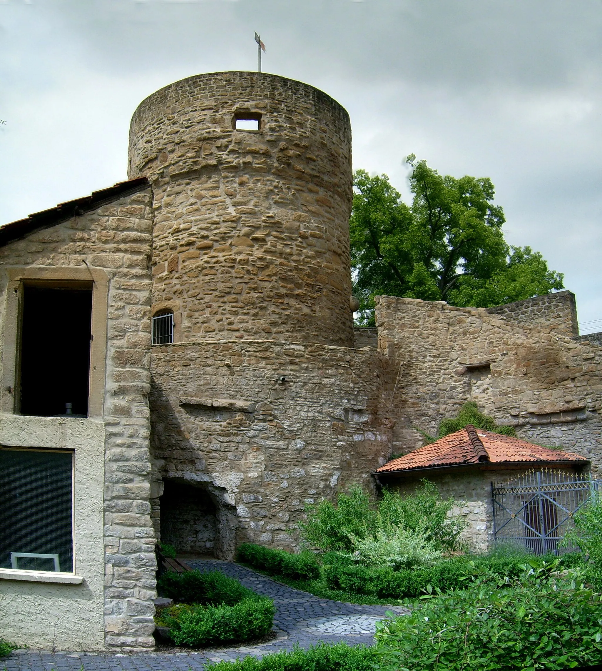
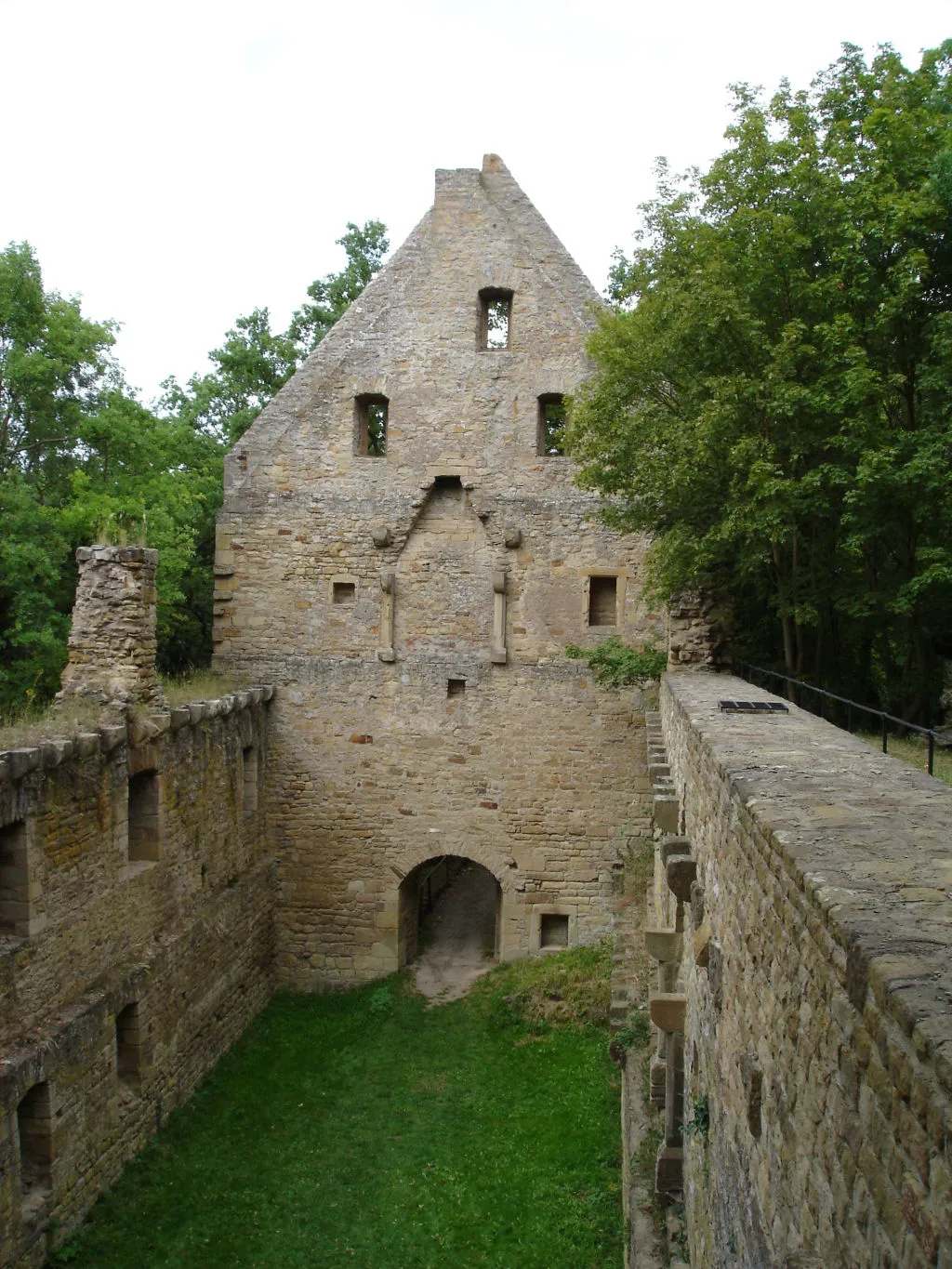
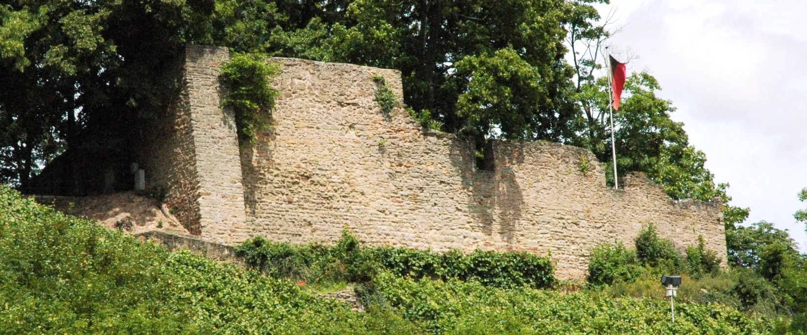
Remigiusberg368 mPeak ViewpointReaching Remigiusberg is a rewarding adventure, best known for its stunning medieval monastery.
59 km
59 km
Hubhöhe355 mPeakHubhöhe's summit rewards riders with incredible panoramic vistas of the breathtaking surrounding countryside.
68 km
68 km
WiesweilerVillageWiesweiler offers a delightful ambiance with its rustic charm, providing a perfect rest stop with traditional cafes and shops.
70 km
70 km
Finish: Lauterecken City centerLauterecken: Cycling Oasis in Rheinhessen-Pfalz
Cycling routes from Lauterecken:
Lauterecken and Beyond The Hills of Lauterecken Where Gravel Roads Lead Exploring the Rural Charm Rolling Hills Exploration Lauterecken to Hohenöllen Gravel Route Scenic Gravel Route from Lauterecken to Lohnweiler The Countryside Road Adventure Eßweiler Discovery Gravel Route Challenging Road Cycling Adventure Juche Gravel Adventure Hoppstädten Grand Tour Teschenmoschel Loop Feilbingert Gravel Trail
Cycling routes nearby: