Gravel Explorer
A gravel cycling route starting from Otterbach
Venture into the gravel roads surrounding Otterbach
Map
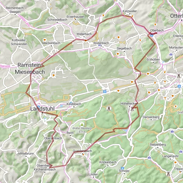
Immerse yourself in the natural beauty of Otterbach's gravel roads with this adventure route. Covering a distance of 59 km and an ascent of 851 m, this gravel cycling tour takes you through forests, meadows, and scenic landscapes. Suitable for experienced gravel riders seeking a bit of adrenaline.
gravel
59 km
851 m
Tough
Route profile
Highlights on the route
0 km
0 km
Start: Otterbach Village centerOtterbach: Peaceful rural routes and access to cycling paths in Kaiserslautern.
Otterbach is a locality located in Rheinhessen-Pfalz, Germany. From a cyclist's perspective, Otterbach offers a mix of peaceful rural routes and access to larger cycling paths. The roads in and around Otterbach are well-paved and suitable for road and gravel cycling. The locality is in close proximity to Kaiserslautern, which provides access to a network of cycling paths and urban cycling opportunities. Additionally, the Palatinate Forest, a popular cycling destination, is located nearby, offering challenging climbs and breathtaking views. Overall, Otterbach receives a rank of 4, making it a great locality for cyclists.3 km
3 km
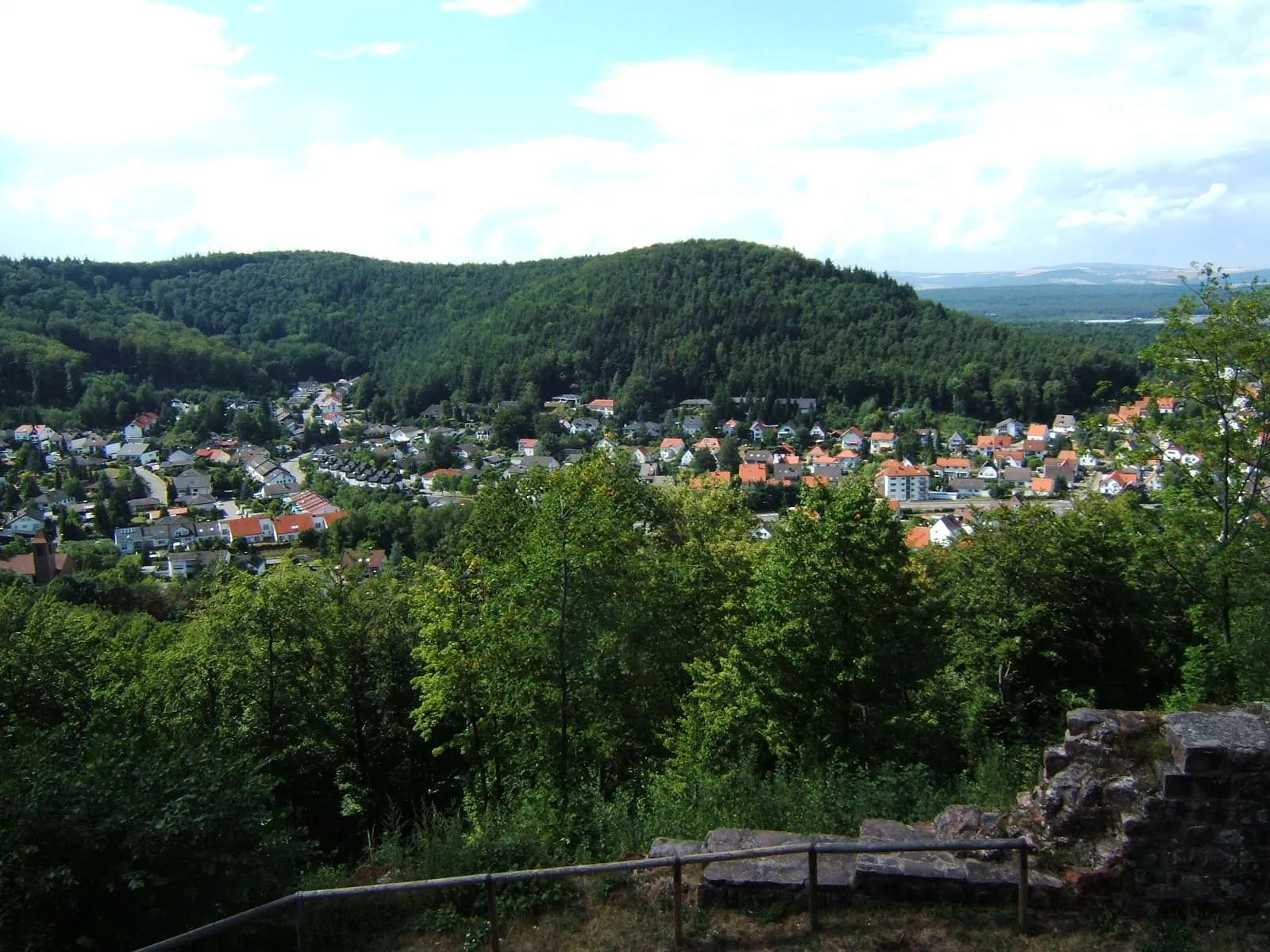
Großer Hundskopf295 mPeakGroßer Hundskopf offers stunning panoramic views of the surrounding countryside.
11 km
11 km
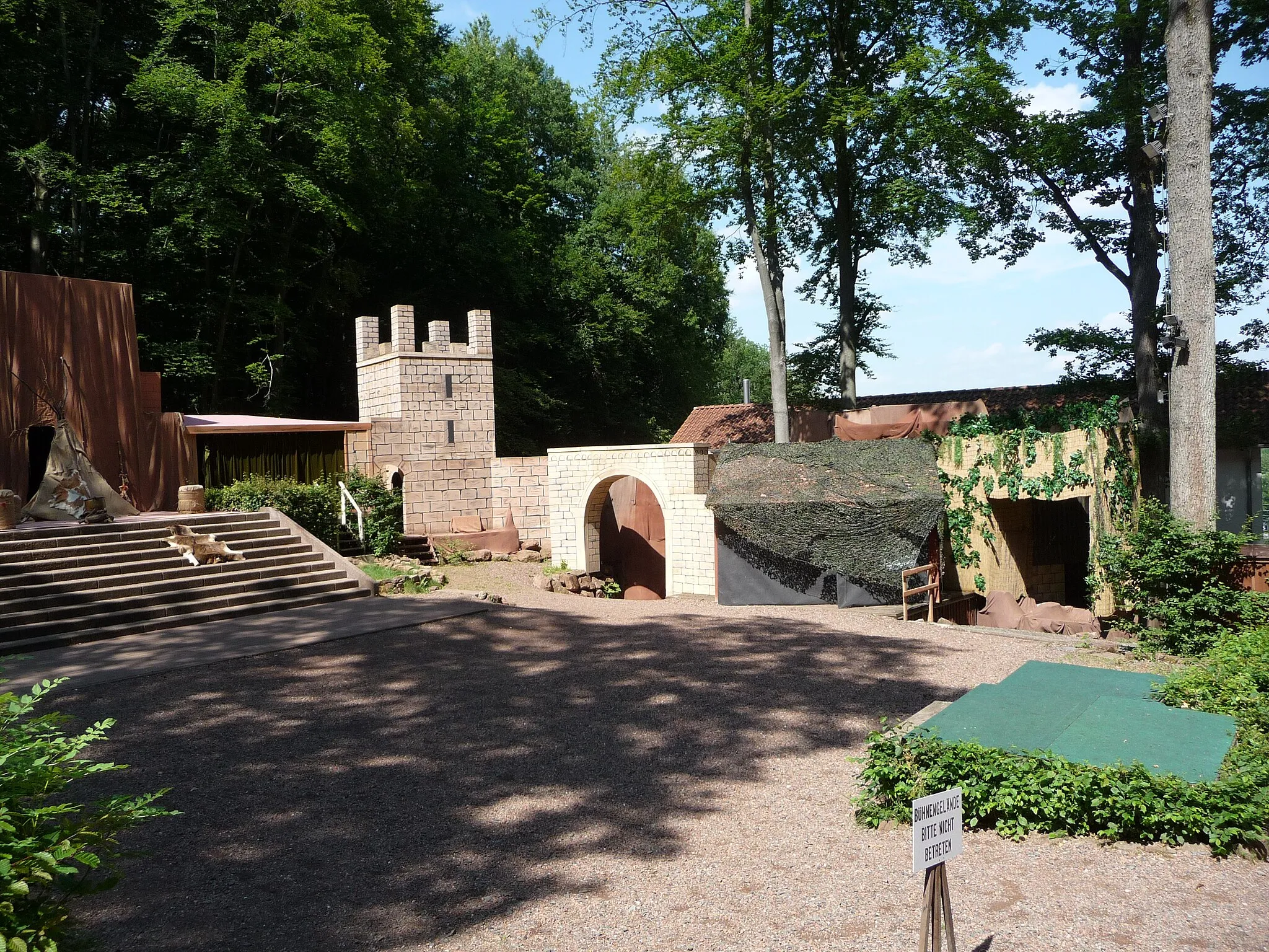
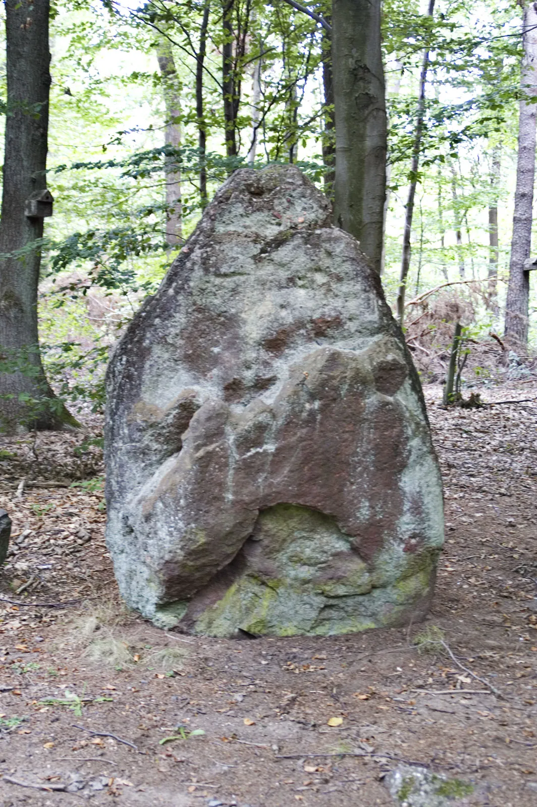
HoheneckenVillageHohenecken features the famous Hohenecken Castle ruins and ancient stone formations.
20 km
20 km
Dieselsberg452 mPeakDieselsberg is a hidden gem with challenging trails and extraordinary views.
35 km
35 km
HerrengärtchenViewpointHerrengärtchen is renowned for its peaceful atmosphere and unspoiled nature.
41 km
41 km
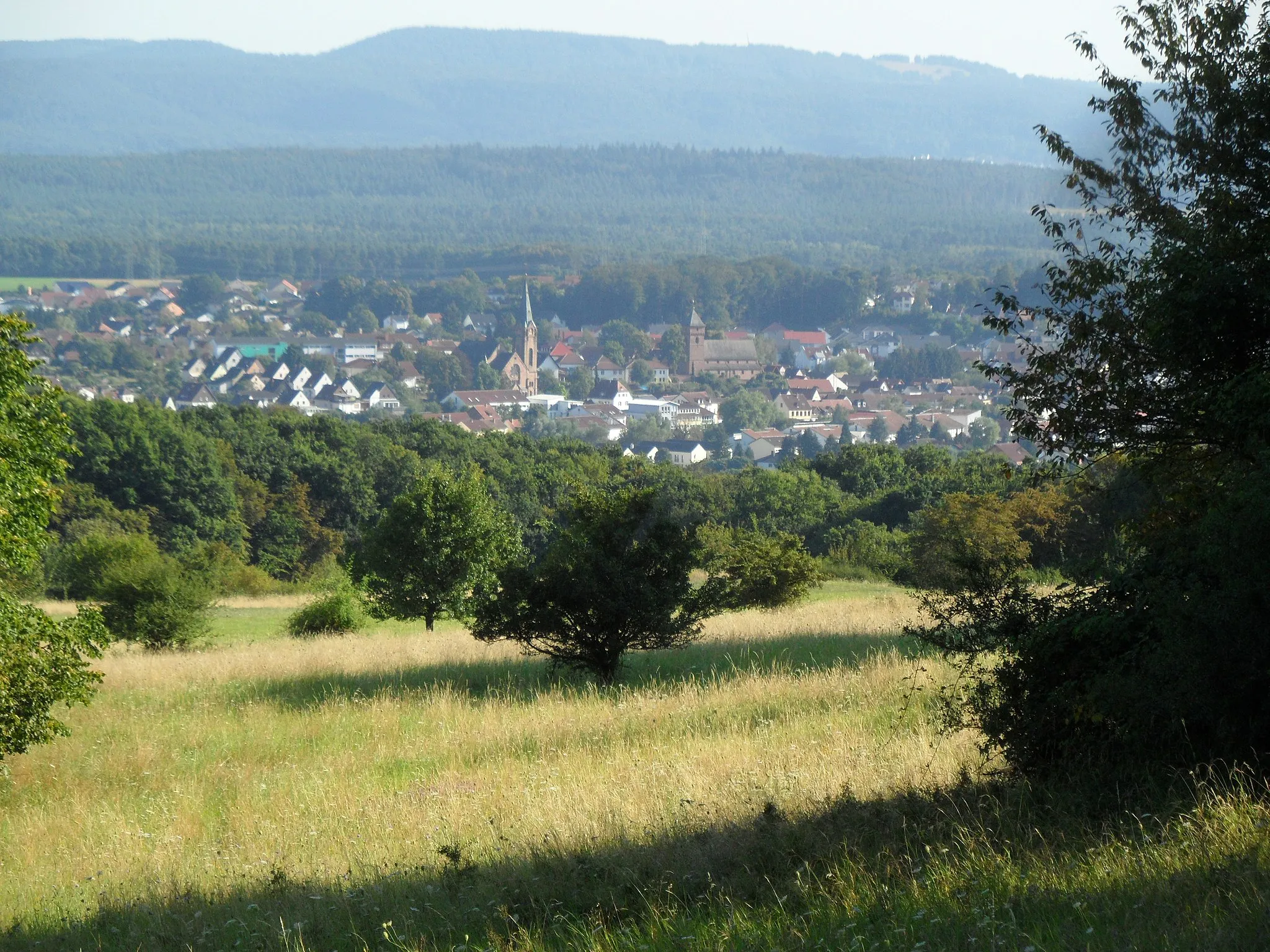
Ramstein-MiesenbachTownRamstein-Miesenbach offers a mix of thrilling military history and picturesque landscapes.
51 km
51 km
Apfelberg300 mPeakApfelberg is a delightful village known for its apple orchards and traditional festivals.
55 km
55 km
KatzweilerVillageKatzweiler is a small village with charming half-timbered houses and serene countryside.
59 km
59 km
Finish: Otterbach Village centerOtterbach: Peaceful rural routes and access to cycling paths in Kaiserslautern.
Cycling routes from Otterbach:
Cycling routes nearby: