Gravel Adventure through Ramstein and Miesenbach
A gravel cycling route starting from Ramstein-Miesenbach
Embark on a thrilling gravel adventure through the picturesque landscapes surrounding Ramstein and Miesenbach.
Map
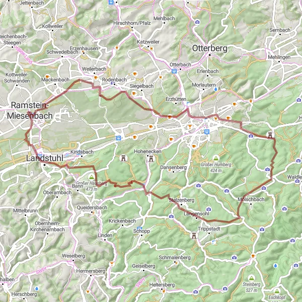
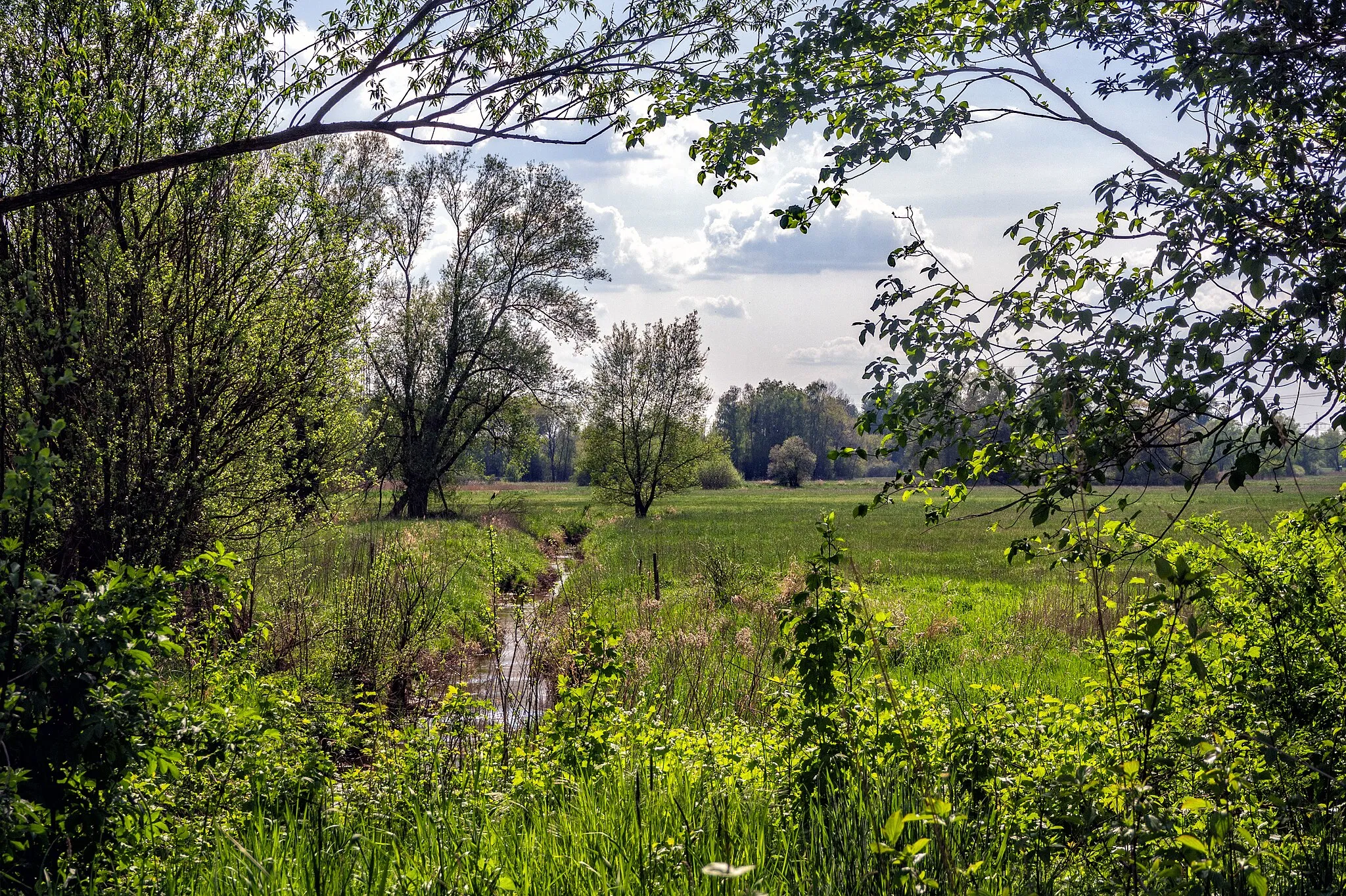
This gravel cycling route takes you through rolling hills, charming villages, and serene forests. It offers a fantastic mix of natural beauty and historical highlights along the way.
gravel
67 km
932 m
Tough
Route profile
Highlights on the route
0 km
0 km
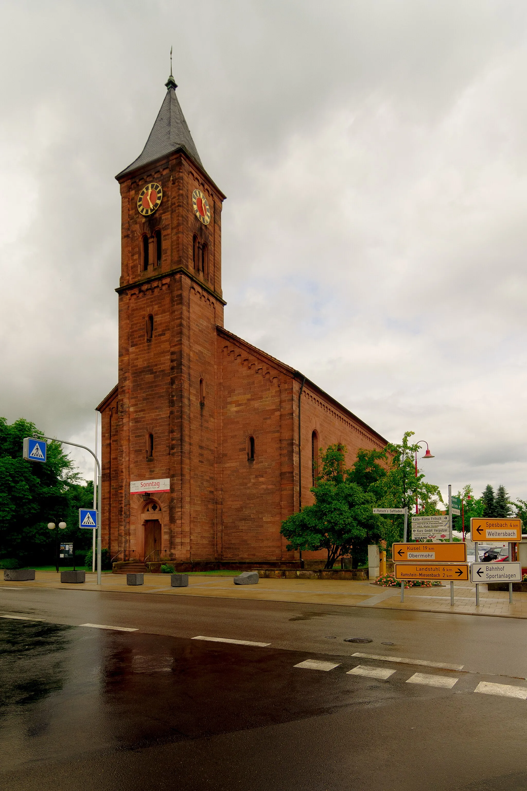
Start: Ramstein-Miesenbach City centerRamstein-Miesenbach: Varied Cycling Routes and Famous Climbs
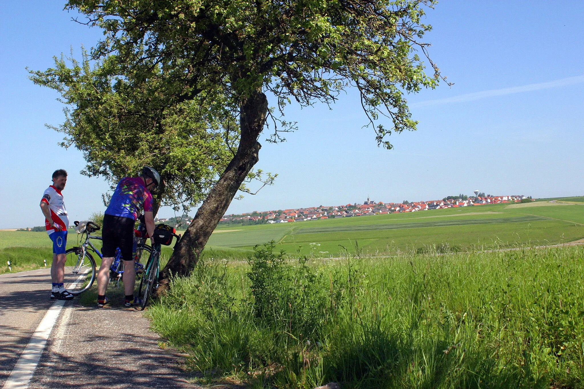
Ramstein-Miesenbach in Rheinhessen-Pfalz, Germany, is a cyclist's dream. The region offers a diverse range of cycling routes, from quiet country roads to challenging mountain climbs. Nearby, you can find the Donnersberg, a popular and well-known climb that attracts cyclists from all over the country. The roads in the area are well-maintained, making it a pleasure to ride both for road and gravel cyclists. Ramstein-Miesenbach is ideal for cyclists looking for varied terrain and challenging climbs in a beautiful natural setting.11 km
11 km
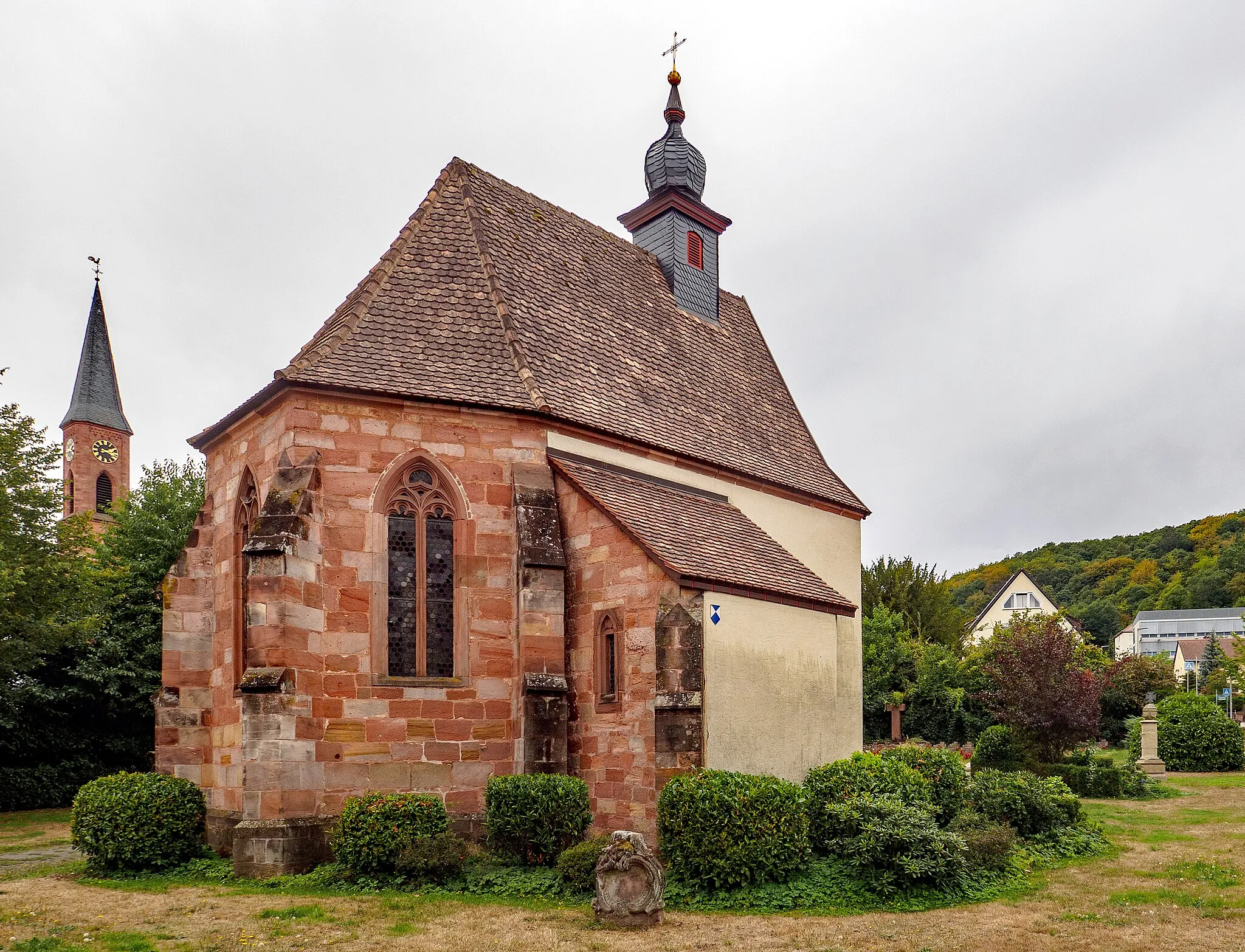
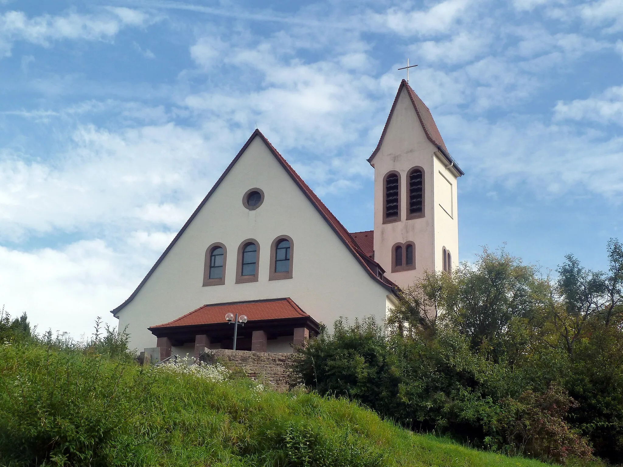
RodenbachVillageMake a stop in Rodenbach to explore its charming village center and traditional architecture.
14 km
14 km
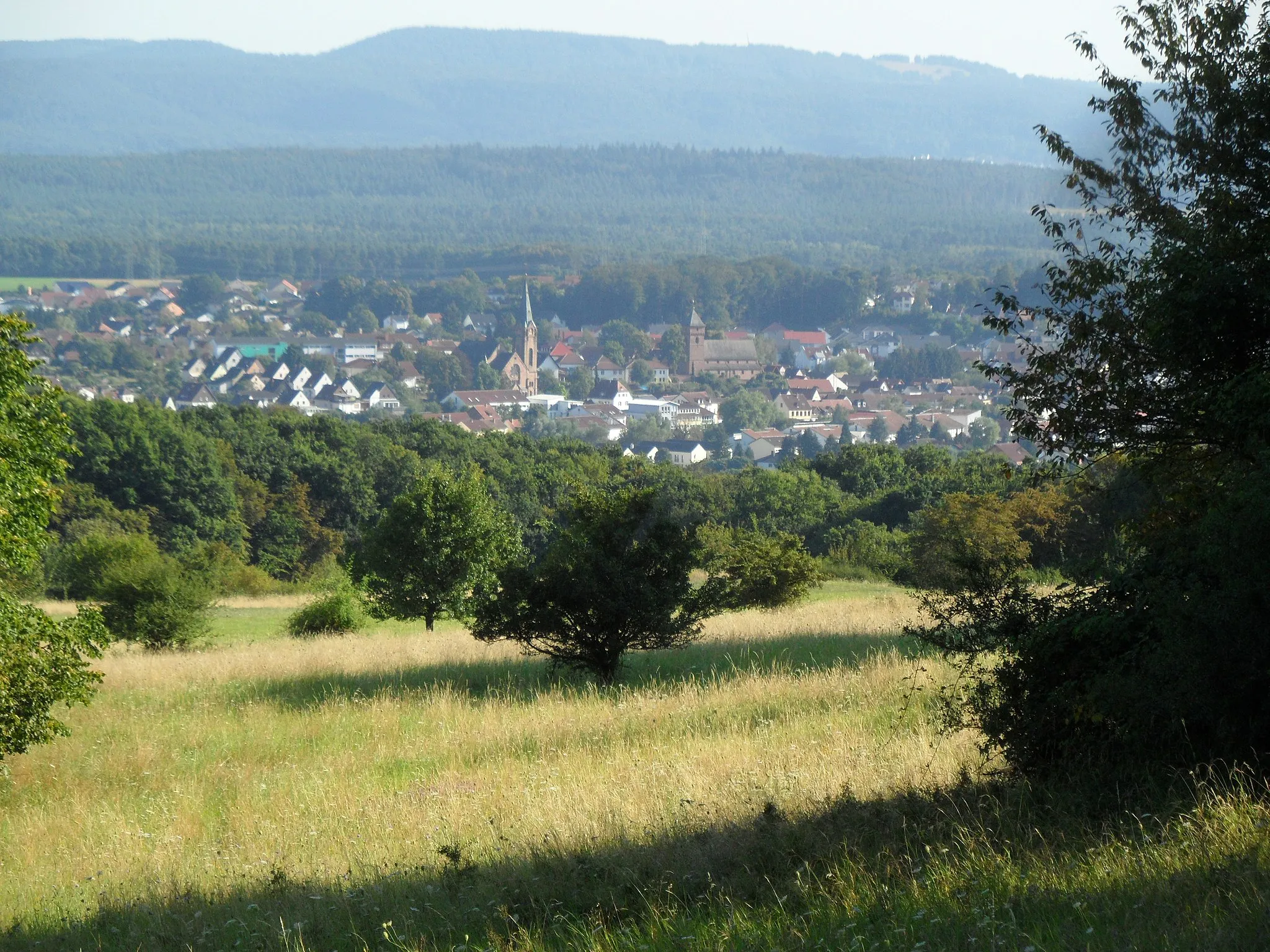
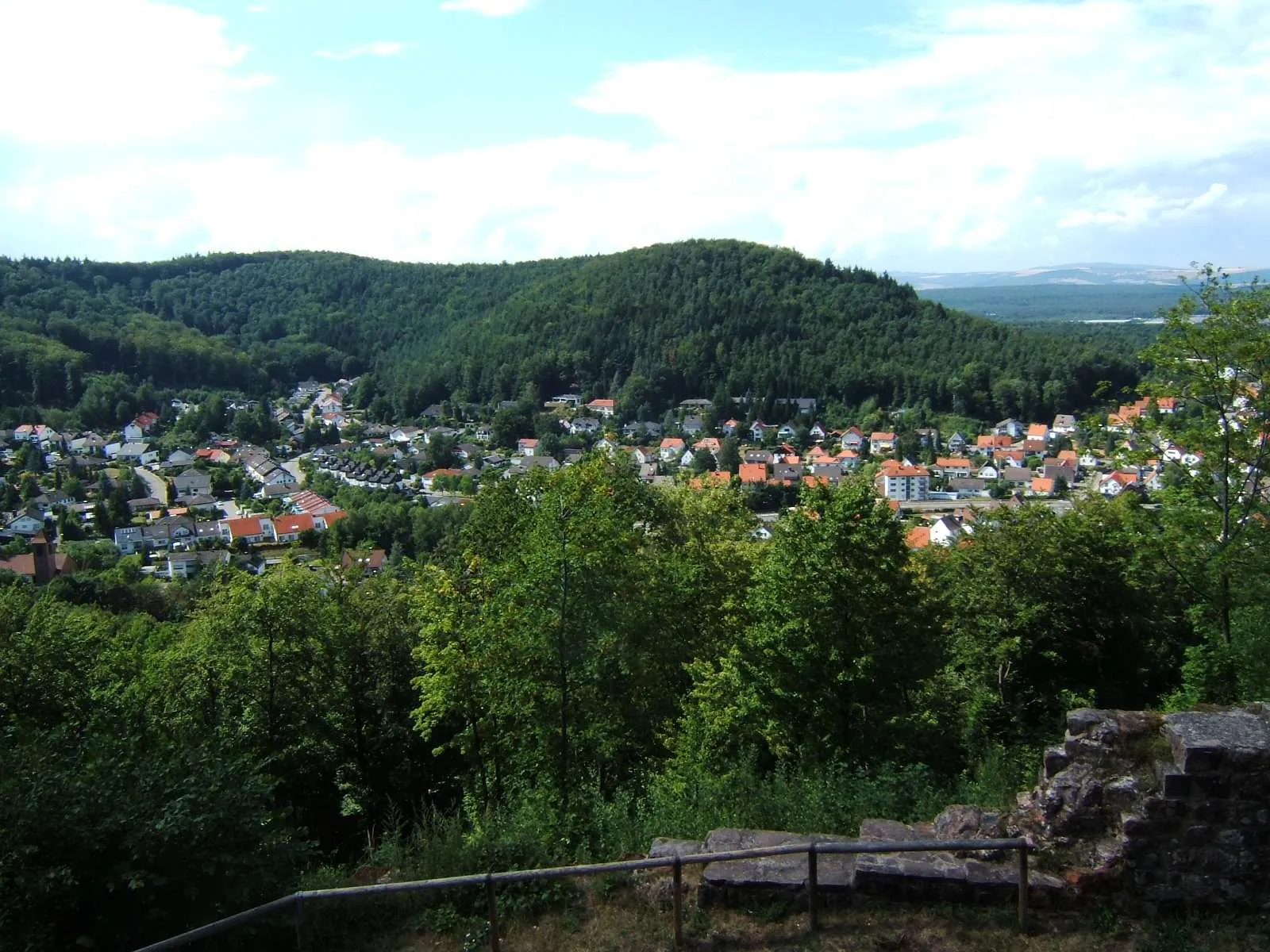
Dauenhauerkopf286 mPeakVisit Dauenhauerkopf, a famous lookout point offering panoramic views of the surrounding countryside.
21 km
21 km
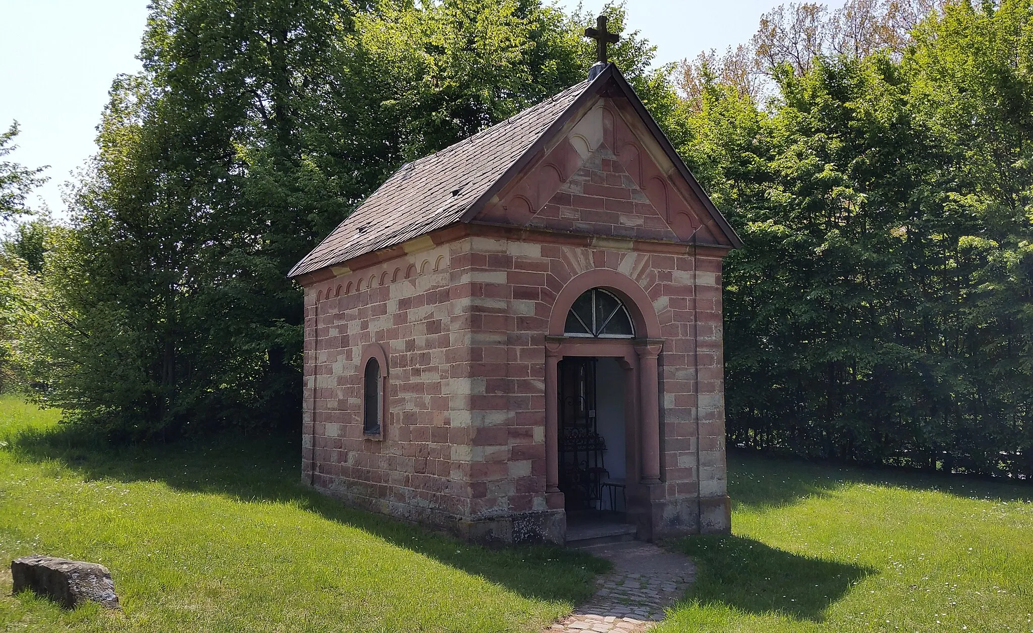
KaiserbrunnenAttractionDiscover Kaiserbrunnen, an ancient fountain that has been a symbol of unity and community for centuries.
27 km
27 km
Kleiner Steinberg328 mPeakHike up Kleiner Steinberg, a small hill with a historic stone cross at its summit.
41 km
41 km
Ritterstein 106 "Hochgericht 1767"AttractionDon't miss Ritterstein 106 "Hochgericht 1767", a historical stone marker that marks an important jurisdiction site.
42 km
42 km
Nabenberg400 mPeakExplore Nabenberg, an ancient hilltop castle ruins offering captivating views of the surrounding landscapes.
58 km
58 km
Hörnchen354 mPeakStop by Hörnchen, a picturesque medieval village known for its quaint half-timbered houses.
60 km
60 km
Burg NansteinCastlePay a visit to Burg Nanstein, a stunning medieval castle with a rich history.
66 km
66 km
RamsteinSub-urbDiscover the charming town of Ramstein, known for its vibrant cultural scene and welcoming atmosphere.
67 km
67 km
Finish: Ramstein-Miesenbach City centerRamstein-Miesenbach: Varied Cycling Routes and Famous Climbs
Cycling routes from Ramstein-Miesenbach:
Scenic Road Cycling Loop to Vogelweh and Rübenberg Discover Hauptstuhl and Lautenbach by Road Landstuhl Loop The Rhineland-Palatinate Adventure The Westrich Adventure Road Cycling Tour to Burg Nanstein and Maßweiler Exploring Steinwenden Challenging Gravel Expedition to Eichelberg and Pfeffelbach Gravel Trails in Rheinhessen Gravel Adventure through Ramstein and Miesenbach
Cycling routes nearby: