Wöllstein and Around
A gravel cycling route starting from Wollstein
Zoom through the beautiful countryside of Rheinhessen-Pfalz
Map
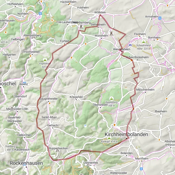
Wöllstein and Around is a scenic cycling route that takes you through the stunning landscapes of Rheinhessen-Pfalz. The route covers a distance of 65 kilometers with a total ascent of 987 meters, making it suitable for gravel bikes. You'll pass by charming towns and villages, vineyards, and rolling hills, providing a true taste of the region's beauty.
gravel
65 km
987 m
Tough
Route profile
Highlights on the route
0 km
0 km
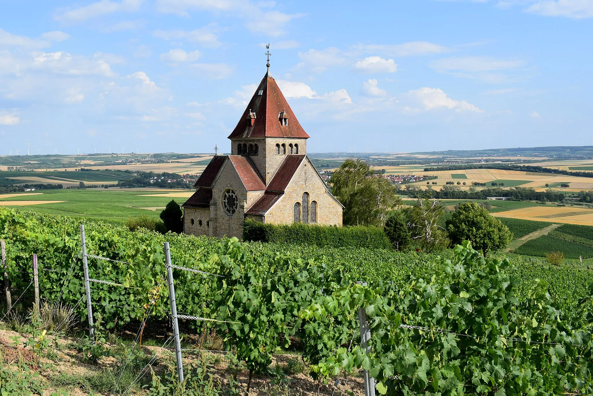
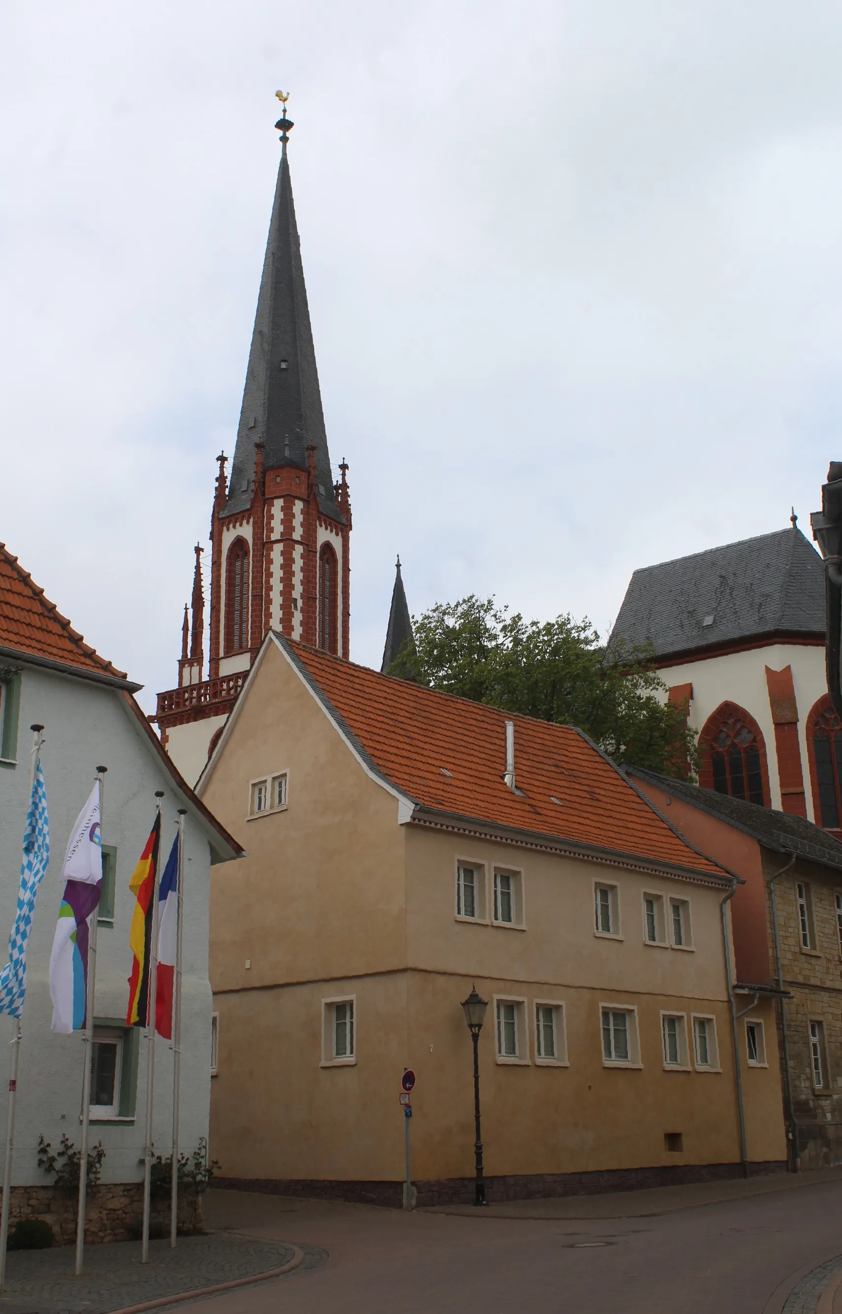
Start: Wöllstein Village centerWöllstein: Moderate cycling in a picturesque vineyard region.
Wöllstein is a locality in Rheinhessen-Pfalz, Germany. From a cyclist's perspective, Wöllstein offers moderate options for road and gravel cycling. The terrain is mainly flat with a few undulating sections, providing a good mix for recreational riding. Popular cycling-related spots in the area include the vineyards of Rheinhessen, which offer scenic routes and wine-related attractions. While Wöllstein doesn't have any famous climbs or well-known cycling locations, it provides a pleasant environment for cyclists looking for a leisurely ride with beautiful countryside views.0 km
0 km
WöllsteinVillageWöllstein: Kick off your journey in this picturesque town known for its traditional German architecture and charming streets.
7 km
7 km
WendelsheimVillageWendelsheim: A small village famous for its wineries, have a break and taste some local Rhine wines.
24 km
24 km
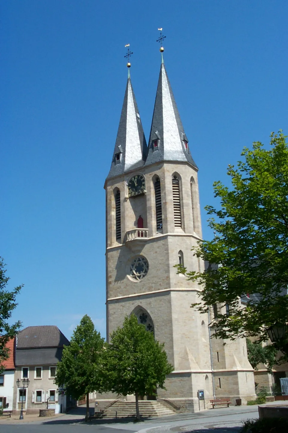
KirchheimbolandenTownKirchheimbolanden: Explore the historic town center and visit the castle, which offers panoramic views of the surrounding area.
25 km
25 km
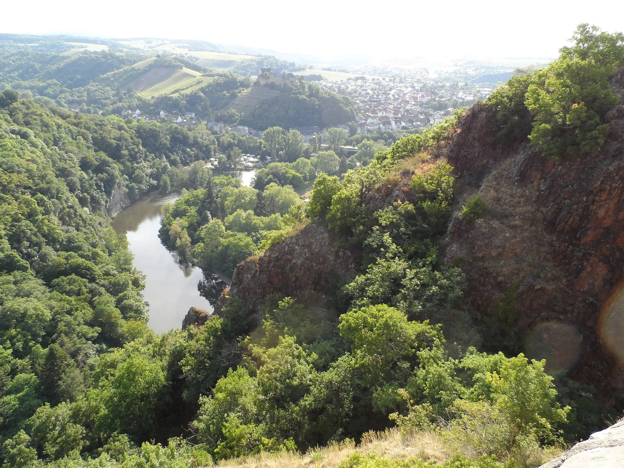
WartturmViewpointWartturm: This ancient tower ruins perched atop a hill provides stunning views of the countryside.
34 km
34 km
Gebrannter Berg651 mPeakGebrannter Berg: Challenge yourself with a steep climb to the top of Gebrannter Berg, where you'll be rewarded with breathtaking views.
36 km
36 km
RuppertseckenVillageRuppertsecken: Cycle through a beautiful forested area to reach this charming village with its quaint half-timbered houses.
53 km
53 km
Vogelskopf325 mPeakVogelskopf: Look out over the rolling hills and vineyards from the viewpoint at Vogelskopf, one of the highest points in the region.
60 km
60 km
Galgenberg240 mPeakGalgenberg: Enjoy a thrilling descent from this hill, offering picturesque views of surrounding landscapes.
61 km
61 km
Neu-BambergVillageNeu-Bamberg: Discover this medieval village with its well-preserved city walls and historic buildings.
65 km
65 km
Finish: Wöllstein Village centerWöllstein: Moderate cycling in a picturesque vineyard region.
Cycling routes nearby: