Lost Trails of Mettlach
A gravel cycling route starting from Mettlach
A thrilling gravel adventure exploring the hidden gems near Mettlach.
Map
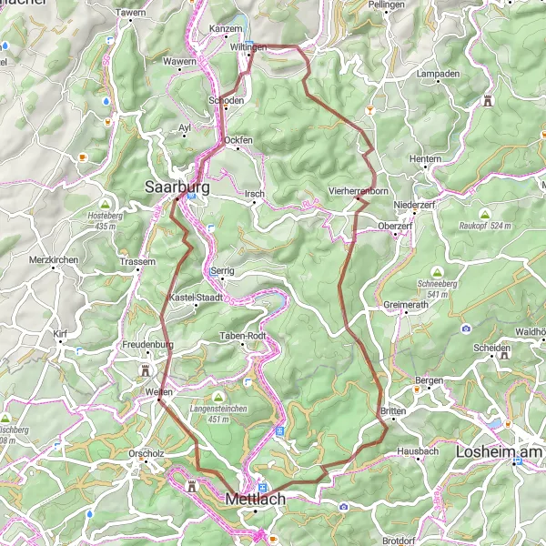
Embark on a gravel journey through the lesser-known trails near Mettlach. With a distance of 57 kilometers and an ascent of 1106 meters, this route is perfect for adventurous cyclists seeking new challenges. Highlights along the way include Burg Montclair, Eiderberg, Bismarckturm Schoden, Wiltingen, Vierherrenborn, Judenkopf, and Peterkopf. Each highlight offers its own unique charm and historical significance.
gravel
57 km
1106 m
Chill
Route profile
Highlights on the route
0 km
0 km
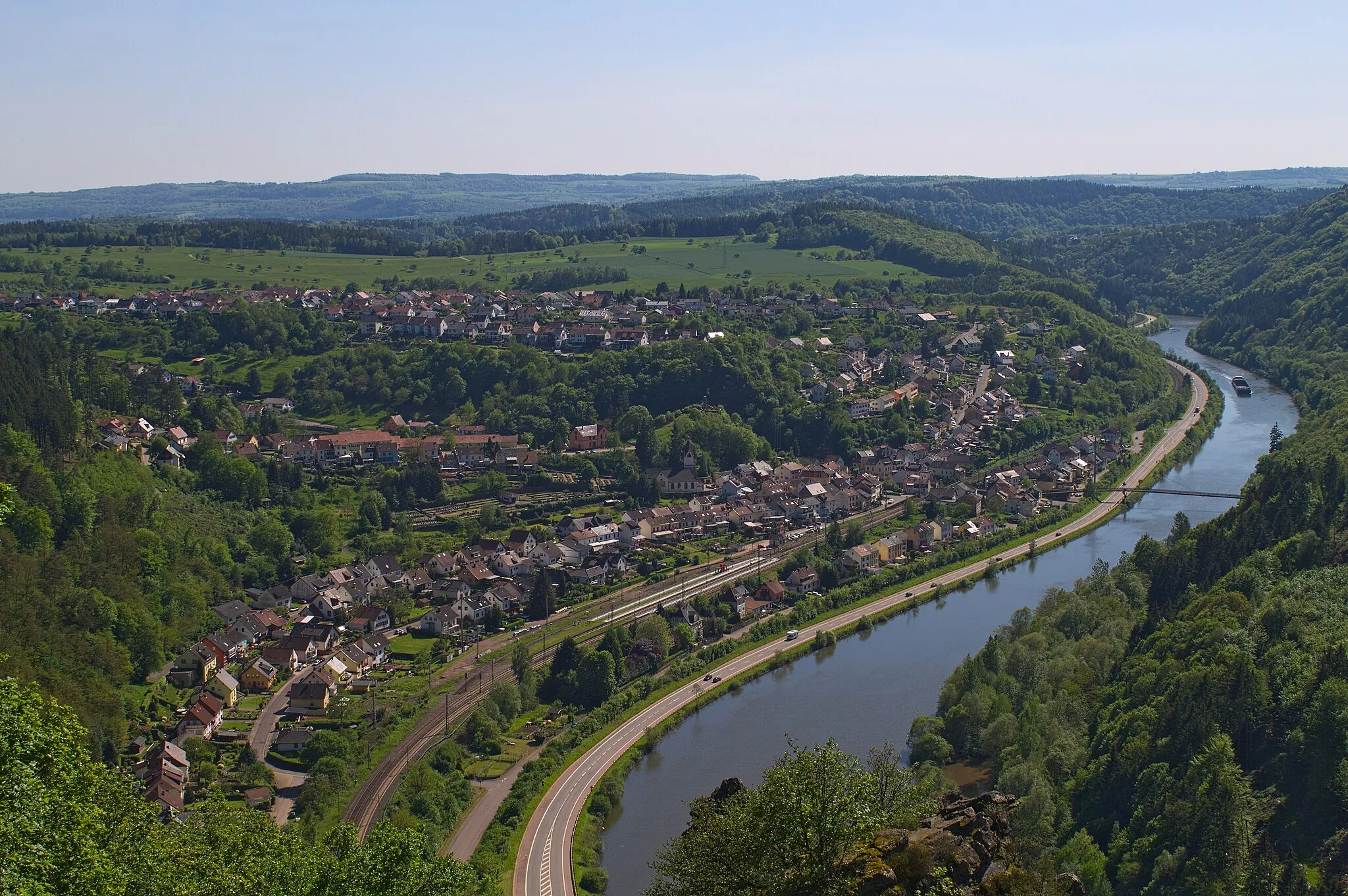
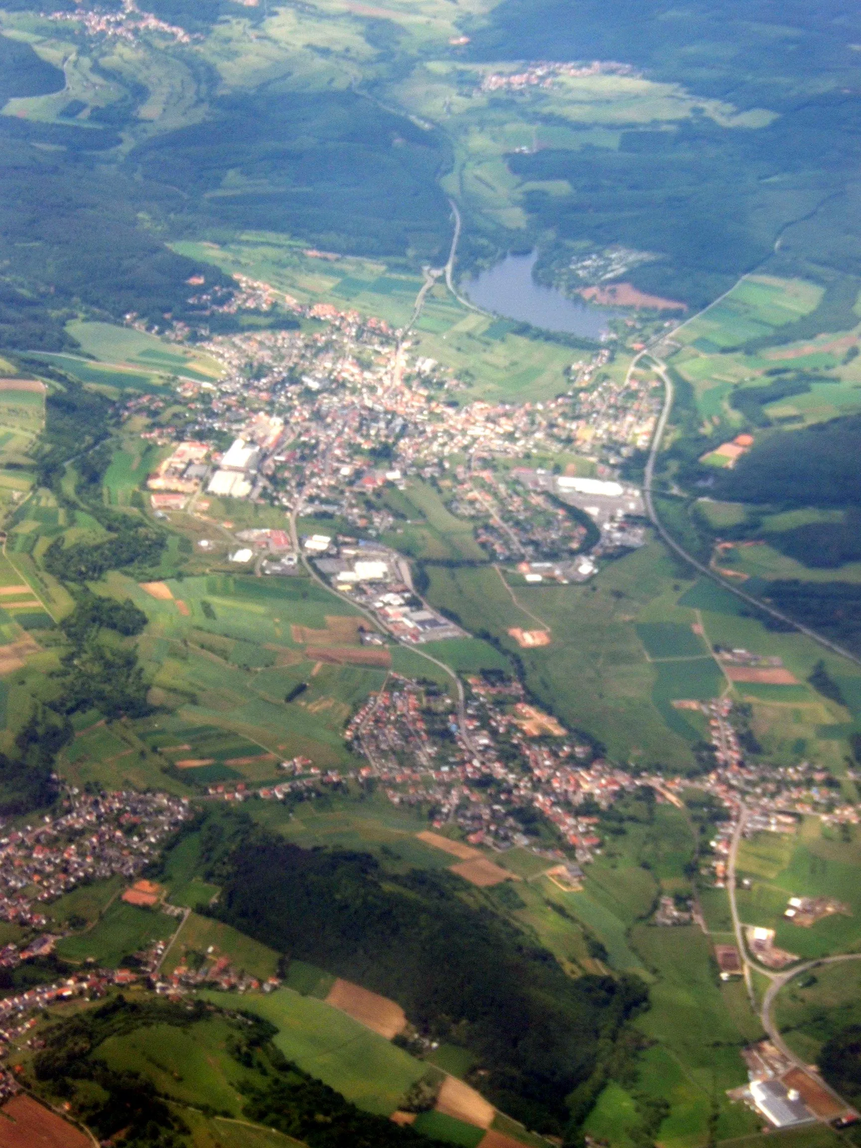
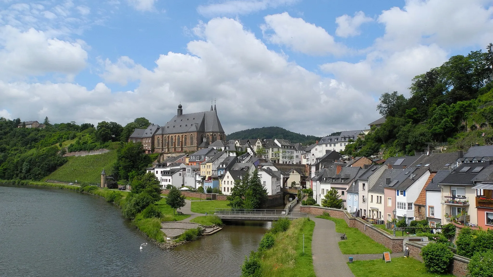
Start: Mettlach City centerMettlach: Exploring the Saar River valley and cycling the famous Saarschleife loop.
Mettlach is a locality in Germany, situated in the region of Saarland. For road and gravel cyclists, Mettlach offers stunning routes along the winding roads of the Saar River valley. The area is known for its vineyards and picturesque landscapes, making it a great destination for cycling and tourism. Nearby, cyclists can explore the famous Saarschleife loop, a popular cycling route with breathtaking panoramic views.3 km
3 km
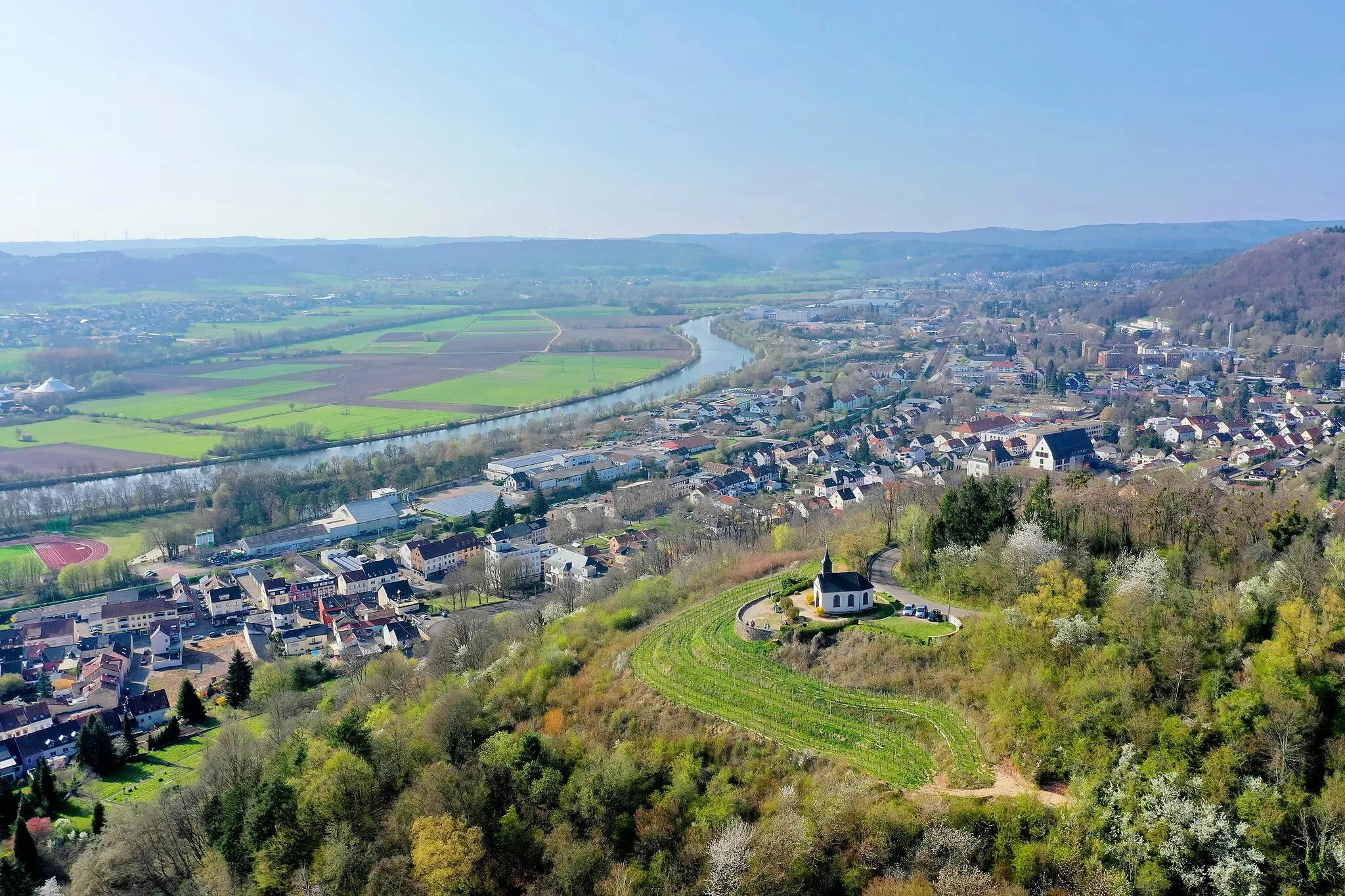
Burg MontclairCastleBurg Montclair is a castle ruin situated on a hill, offering panoramic views of the surrounding landscape.
10 km
10 km
Eiderberg439 mPeakEiderberg is a challenging climb rewarded with breathtaking panoramic views of the region.
21 km
21 km
Bismarckturm SchodenViewpointBismarckturm Schoden is a tower dedicated to Otto von Bismarck and offers magnificent views of the Saar Valley.
26 km
26 km
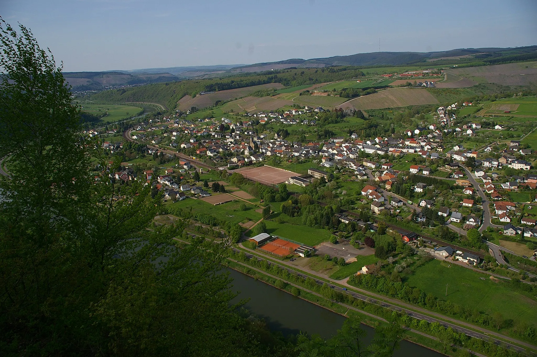
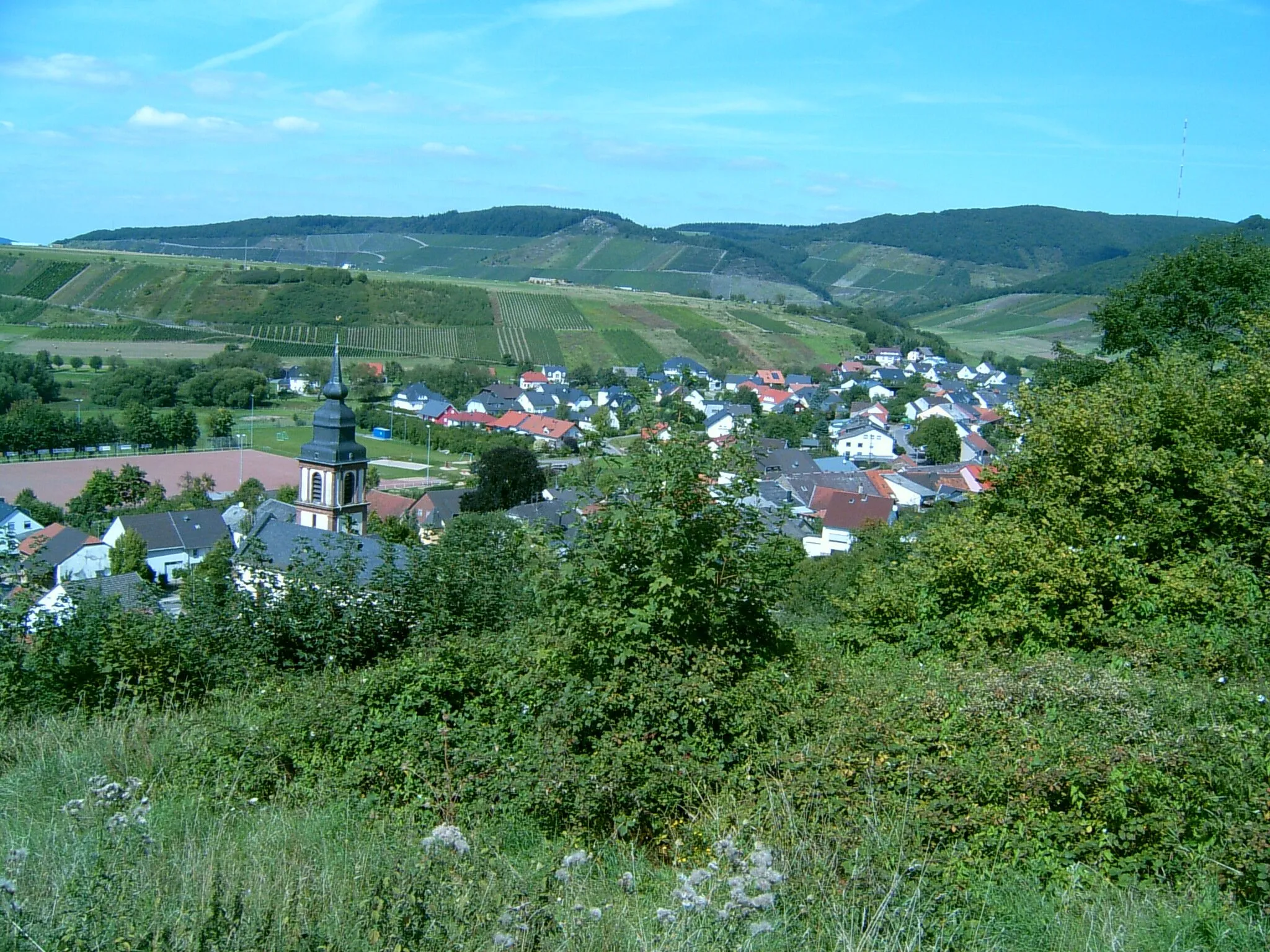
WiltingenVillageWiltingen is a picturesque village known for its wine production and charming atmosphere.
38 km
38 km
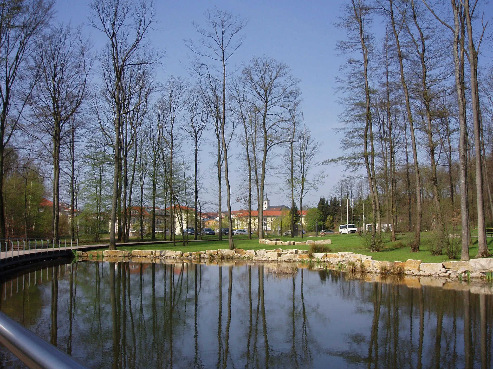
VierherrenbornVillageVierherrenborn is a historic fountain located in the midst of lush greenery.
45 km
45 km
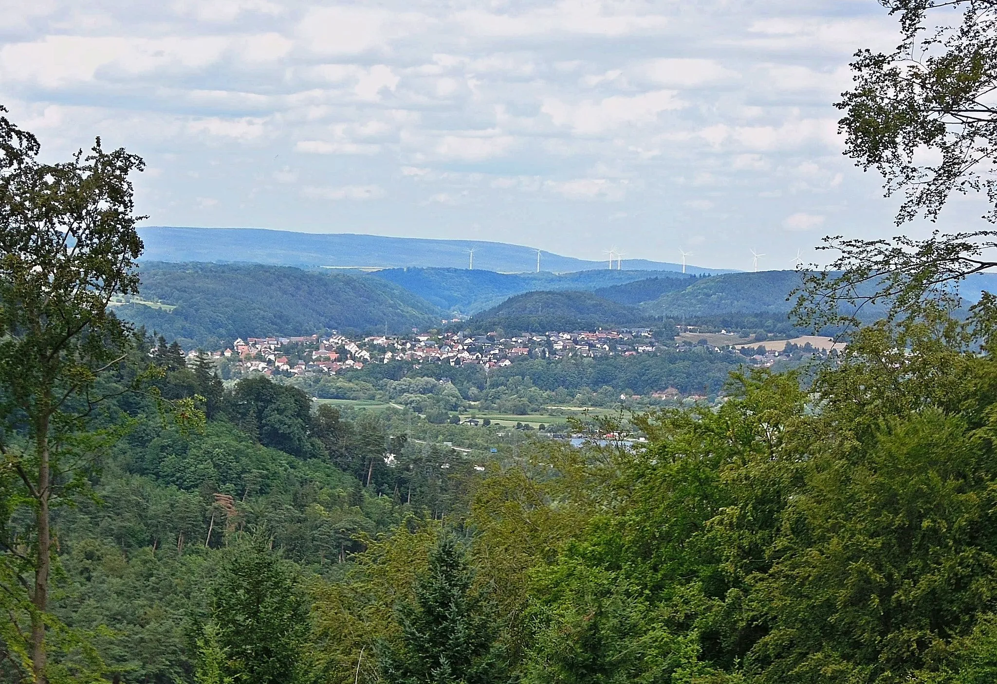
Judenkopf517 mPeakJudenkopf is a quaint village offering stunning views of the surrounding countryside.
52 km
52 km
Peterkopf402 mPeakPeterkopf is a hilltop viewpoint providing panoramic vistas of the serene landscapes.
57 km
57 km
Finish: Mettlach City centerMettlach: Exploring the Saar River valley and cycling the famous Saarschleife loop.
Cycling routes from Mettlach:
Historic Castles and Picturesque Villages The Mountain Challenge: Conquer Saarland's Toughest Climbs Hills and Castles of Saarland The Baden-Württemberg Loop Saarburg and Surroundings Saarland Adventure Exploring the Saar Valley Lost Trails of Mettlach The Saar Loop: A Scenic Road Cycling Tour Countryside Delights Saarland Gravel Adventure
Cycling routes nearby: