Mountain Escape
A gravel cycling route starting from Darlingerode
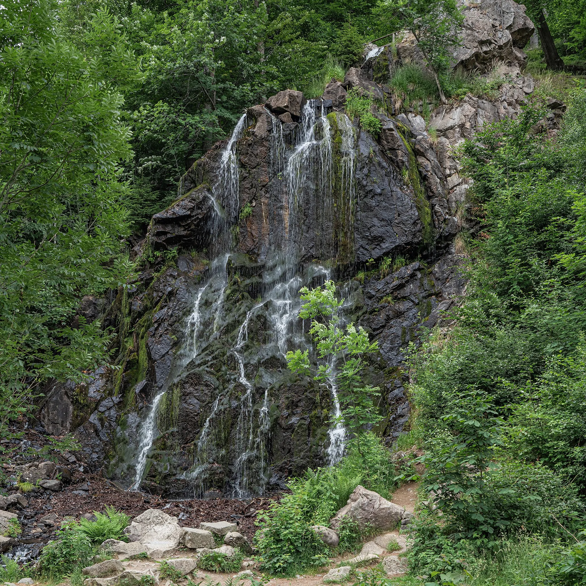
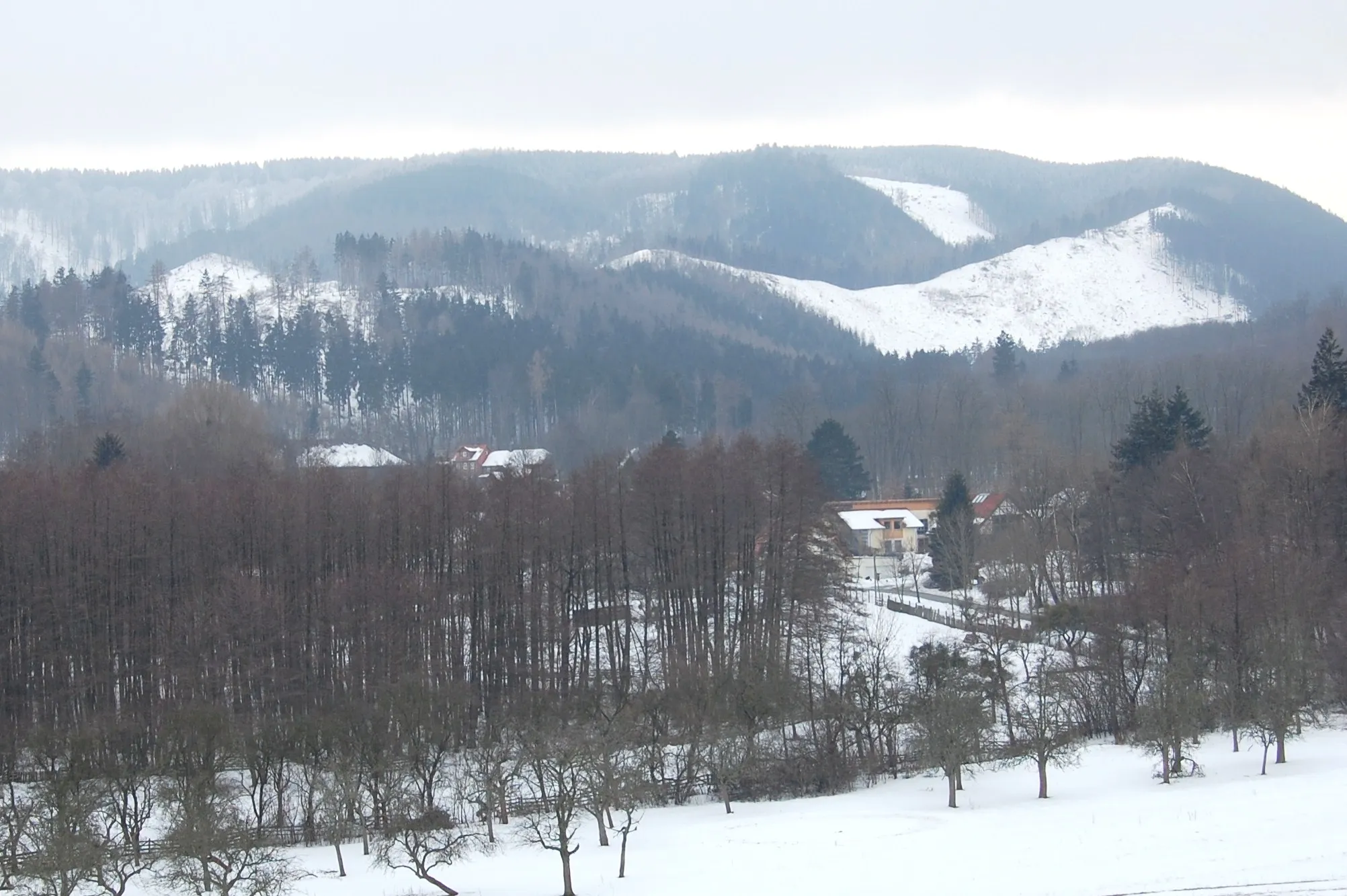
Embark on an exhilarating mountain escape in the Harz region
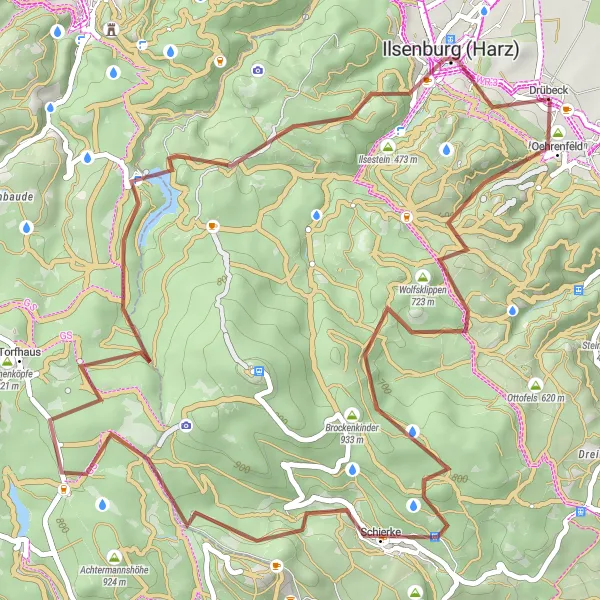
Map
Venture into the heart of the Harz mountains with the Mountain Escape route, a thrilling 52-kilometer gravel cycling trail. Challenge yourself with an elevation gain of 1181 meters, conquering formidable inclines and descending on exciting descents. Immerse yourself in the raw natural beauty of the region as you explore hidden gems along the way. Prepare to be captivated by breathtaking vistas and enjoy the tranquility of the forested landscape.
gravel
52 km
1181 m
Tough
Route profile
Highlights on the route
0 km
0 km
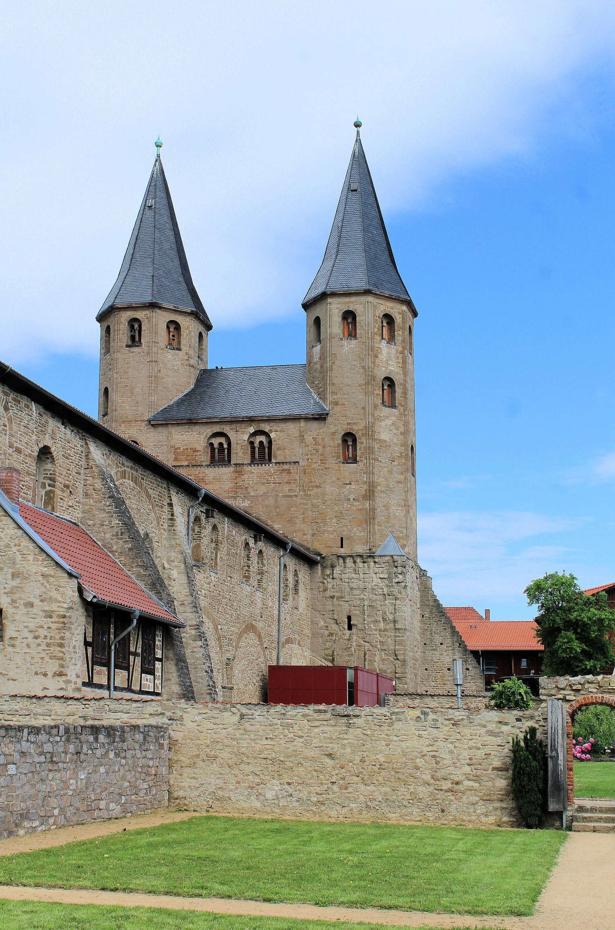
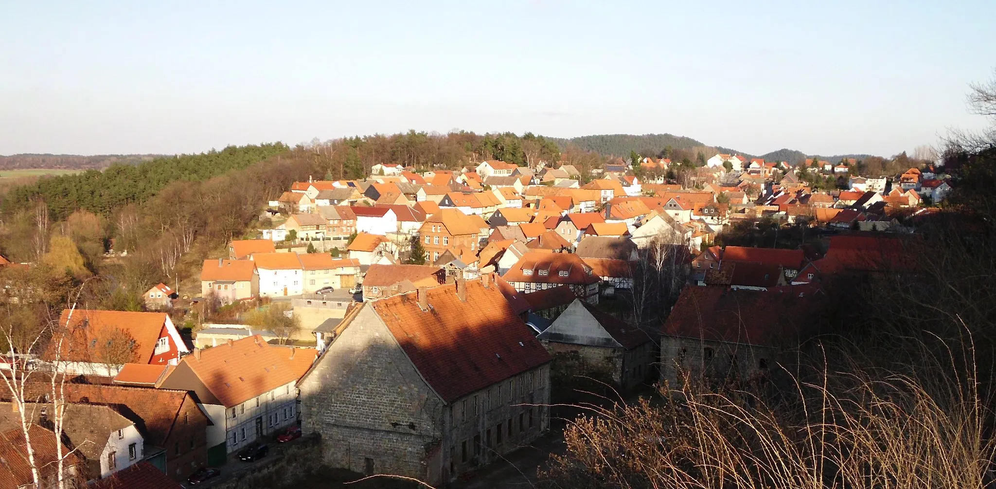
Start: Drübeck Village centerDarlingerode: Nature and Challenge in Darlingerode
Darlingerode is a locality situated in Sachsen-Anhalt, Germany. From a cyclist's point of view, Darlingerode provides enjoyable cycling experiences. The roads are well-maintained and cycling infrastructure is present, making it a bicycle-friendly area. The region offers a diverse range of landscapes, including forests, hills, and rivers. Cyclists can explore the Harz National Park located nearby, which offers stunning trails and scenic viewpoints. Notable cycling-related spots in the vicinity include the Brocken, a famous peak that attracts cyclists from around the world. Overall, Darlingerode is a fantastic destination for cyclists looking to experience nature and enjoy challenging rides.1 km
1 km
OehrenfeldVillagePass through the serene Oehrenfeld, an area known for its beautiful views of the Harz mountains.
6 km
6 km
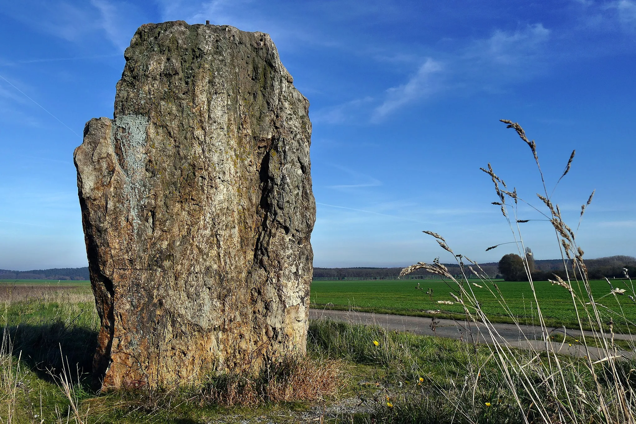
Wolfsklippen723 mPeakConquer the challenging Wolfsklippen section, infatuating cyclists with its impressive rock formations.
19 km
19 km
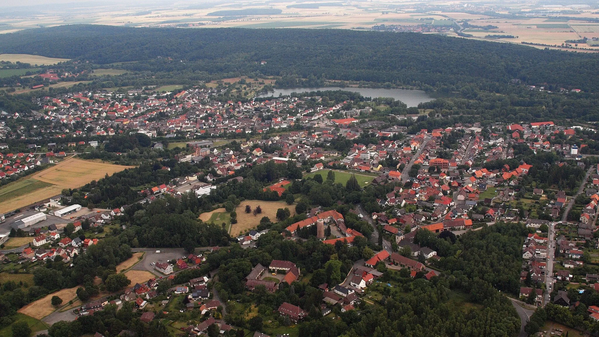
SchierkeVillageMake a stop at Schierke, a picturesque mountain village known as the gateway to the Brocken.
23 km
23 km
Wurmberg971 mPeakChallenge yourself with a climb up Wurmberg, the highest peak in the Harz mountain range.
29 km
29 km
OderbrückHamletDescend through the enchanting Oderbrück, surrounded by serene forests and idyllic landscapes.
36 km
36 km
Abbenstein769 mPeakMarvel at the Abbenstein, a spectacular rocky outcrop that offers panoramic views.
46 km
46 km
Westerberg529 mPeakClimb the winding paths of Westerberg and treat yourself to stunning vistas along the way.
49 km
49 km
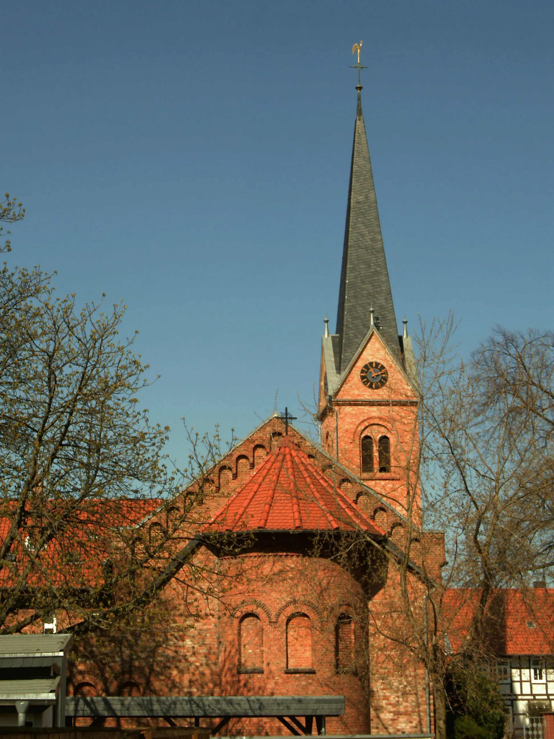
Ilsenburg (Harz)TownExplore Ilsenburg (Harz) and its charming blend of half-timbered houses and natural beauty.
52 km
52 km
Finish: Drübeck Village centerDarlingerode: Nature and Challenge in Darlingerode
Cycling routes nearby: