Gravel Adventure
A gravel cycling route starting from Gross Boernecke
Experience the off-road thrill in Groß Börnecke
Map
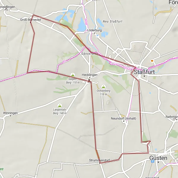
Embark on this gravel adventure starting near Groß Börnecke and journey through scenic landscapes. The route offers a moderate difficulty level with a total ascent of 164 meters. Explore highlights such as Rodelberg, Staßfurt, Hecklingen, Galgen-Berg, and Groß Börnecke along the 36-kilometer path. Enjoy the excitement of off-road cycling as you navigate through diverse terrains.
gravel
36 km
164 m
Tough
Route profile
Highlights on the route
0 km
0 km
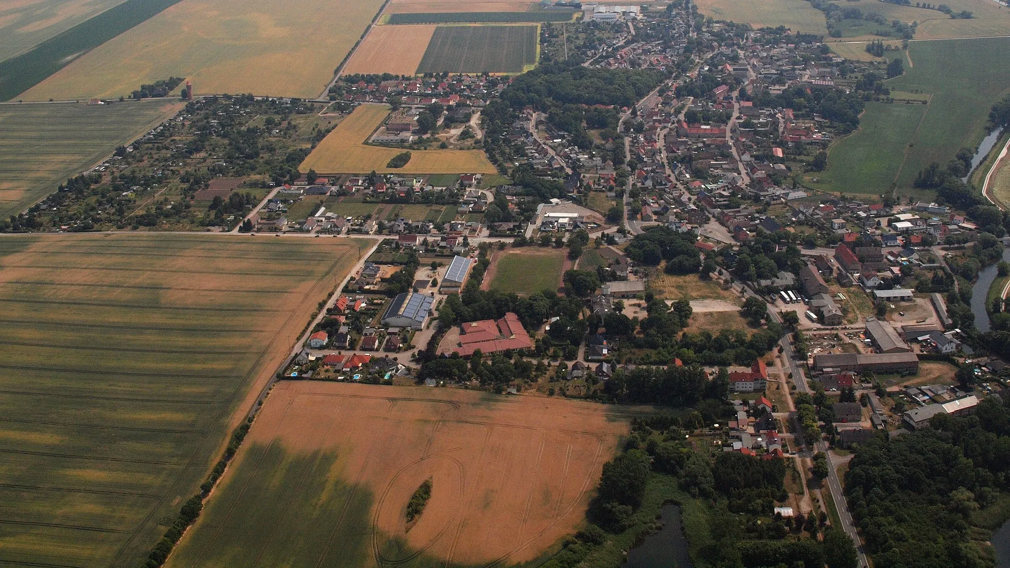
Start: Groß Börnecke Village centerGroß Börnecke: Limited cycling options in unremarkable terrain
Groß Börnecke in Sachsen-Anhalt, Germany, may be less suitable for cycling enthusiasts. The locality lacks notable cycling routes or cycling-friendly infrastructure, limiting the options for road and gravel cyclists. Additionally, the terrain in the area does not offer significant challenges or breathtaking scenery. It's recommended for cyclists to explore other nearby regions for more rewarding cycling experiences.7 km
7 km
RodelbergViewpointLocated at a distance of 7 kilometers, Rodelberg offers a thrilling downhill ride and stunning views of the surrounding area.
11 km
11 km
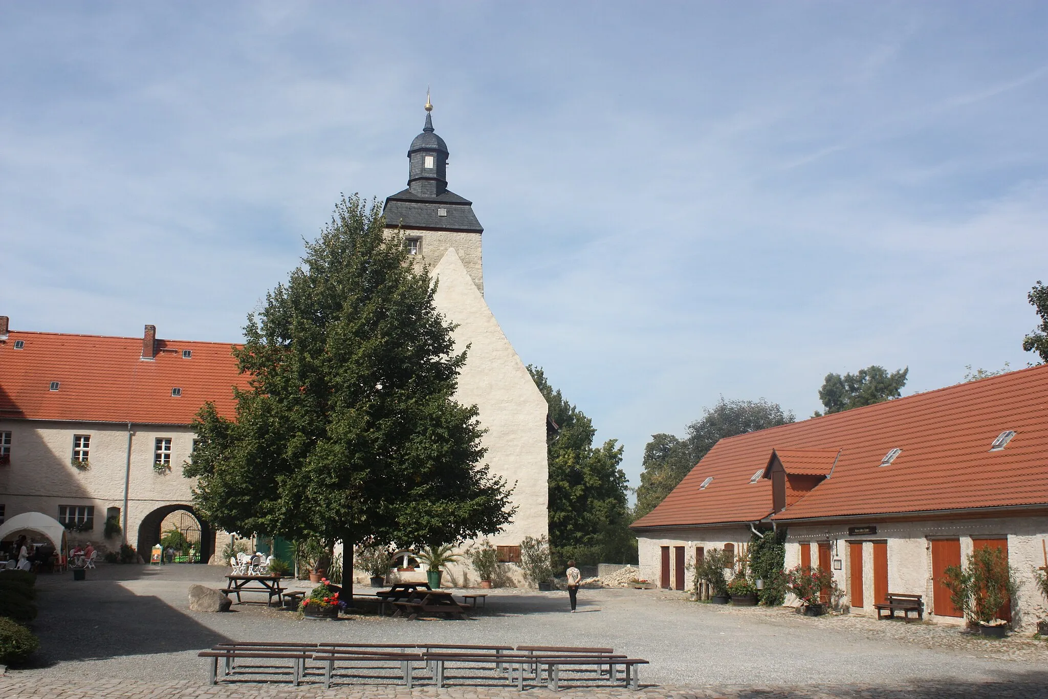
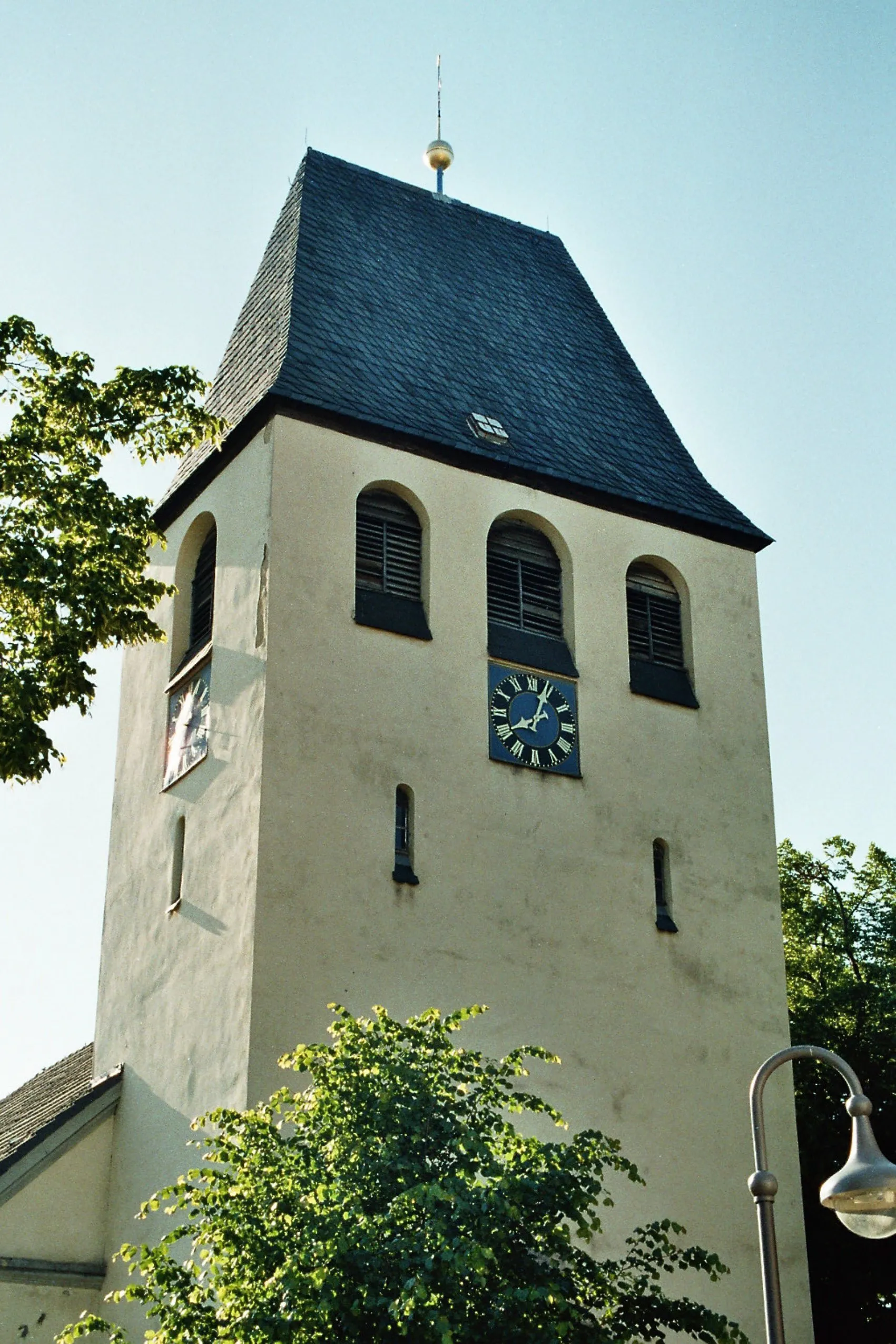
StaßfurtTownStaßfurt is situated 11 kilometers into the route and is known for its charming historic buildings and vibrant atmosphere.
27 km
27 km
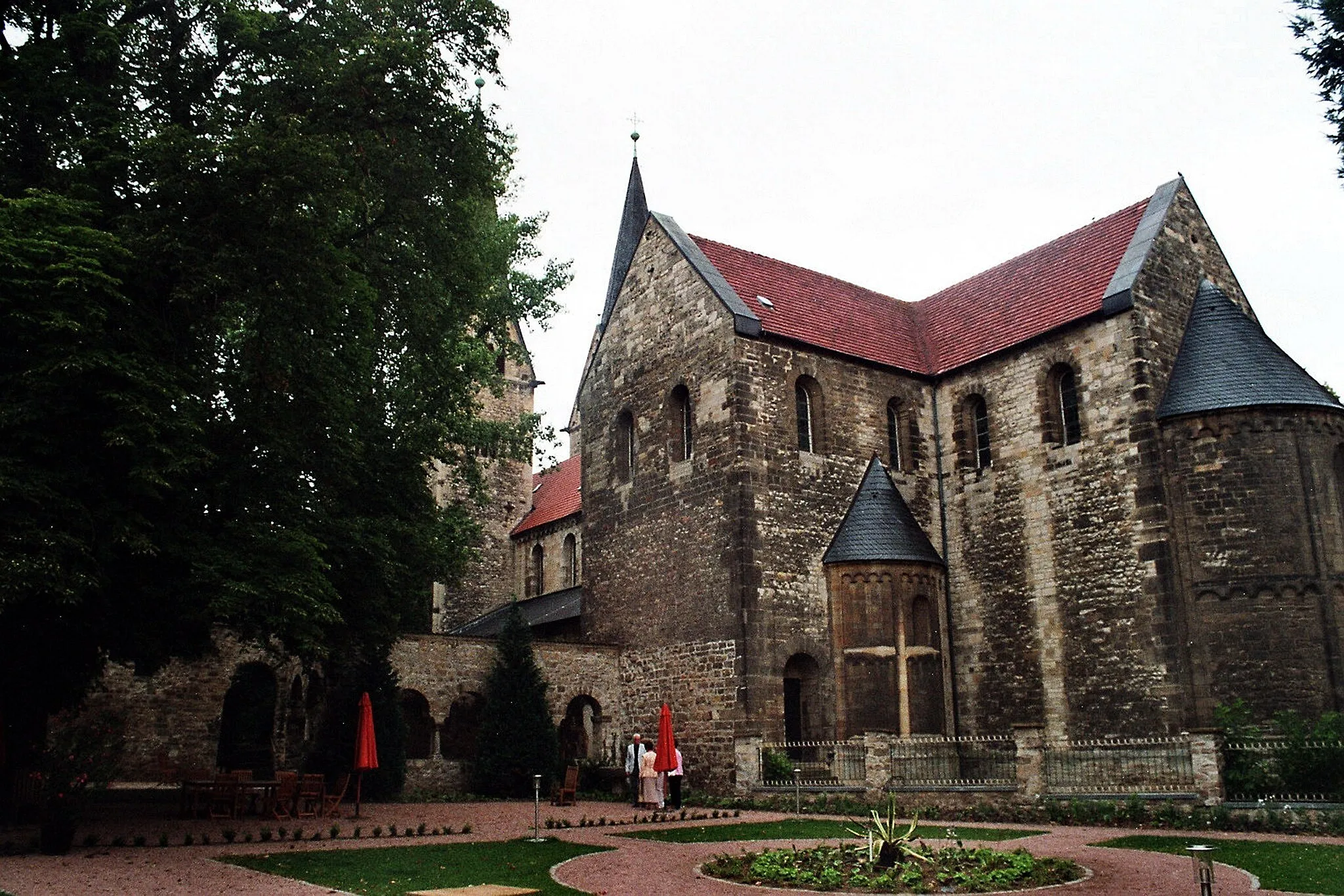
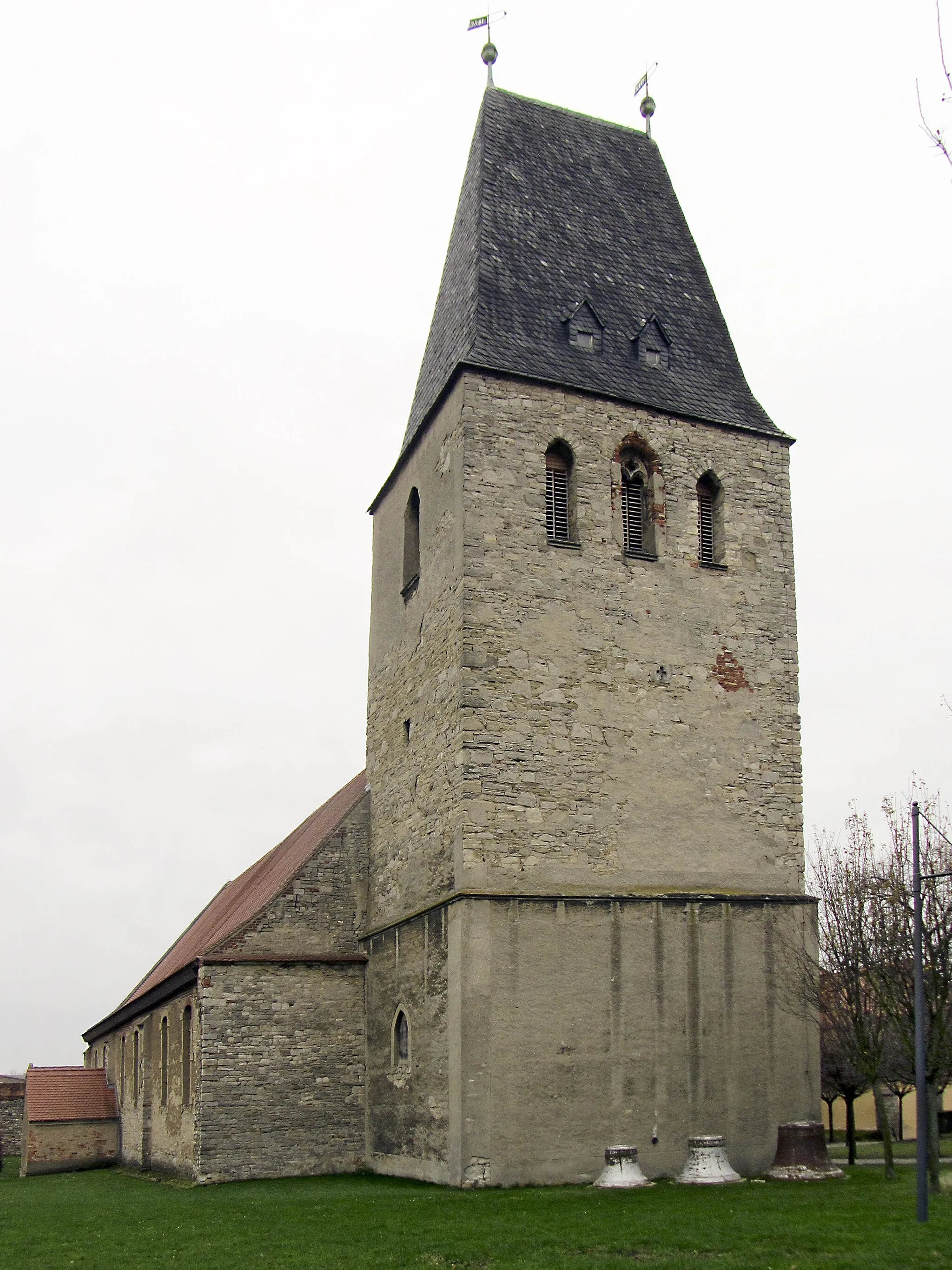
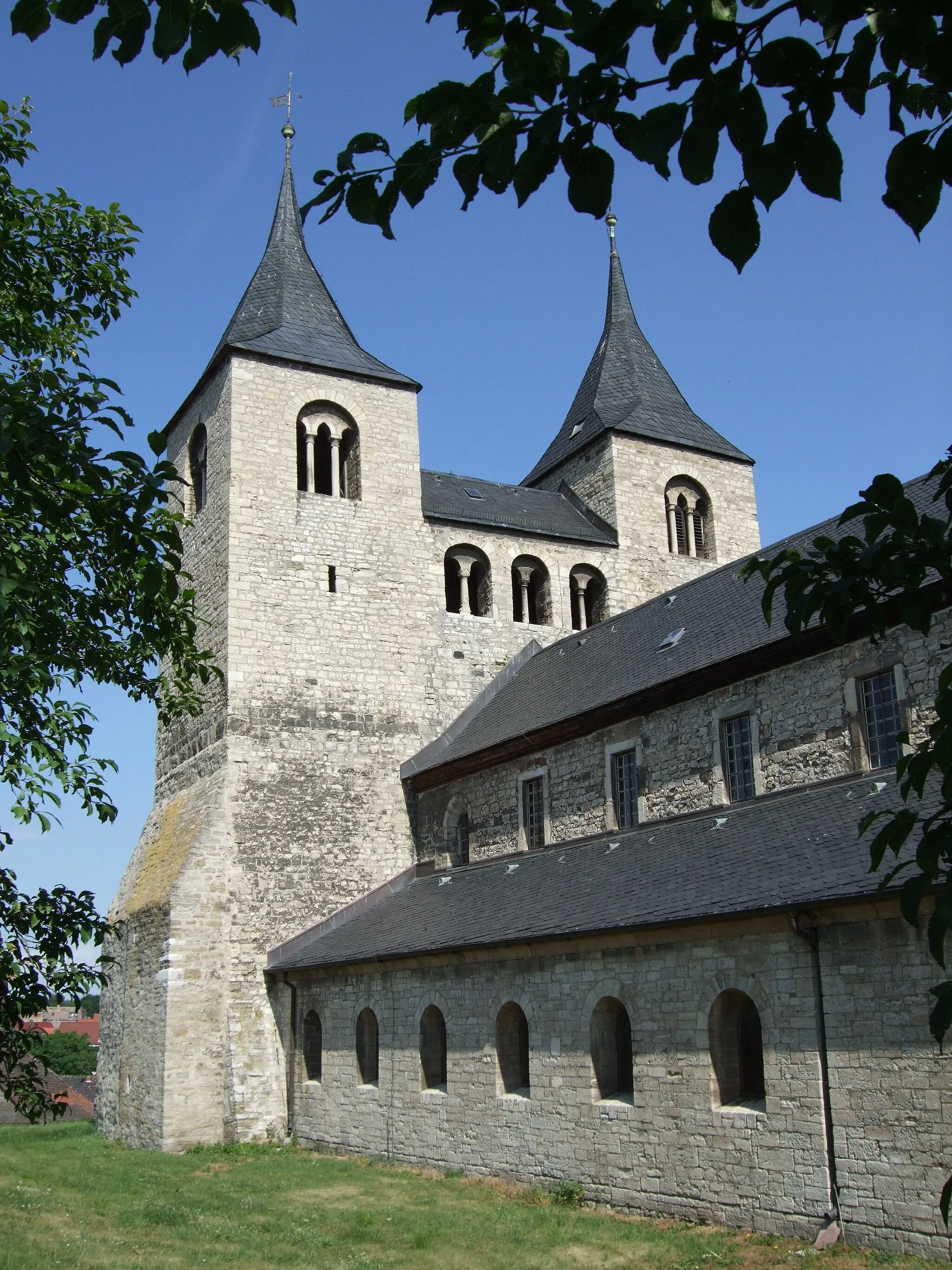
HecklingenVillageAt the 27-kilometer mark, you'll find Hecklingen, a town with a rich cultural heritage and picturesque streets.
29 km
29 km
Galgen-Berg110 mPeakGalgen-Berg, located 29 kilometers from the starting point, provides a challenging climb with rewarding panoramic views.
36 km
36 km
Groß BörneckeVillageGroß Börnecke, the starting and ending point of the route, is a tranquil village surrounded by beautiful natural landscapes.
36 km
36 km
Finish: Groß Börnecke Village centerGroß Börnecke: Limited cycling options in unremarkable terrain
Cycling routes nearby: