Conquering the Gravel Paths and Hills
A gravel cycling route starting from Hergisdorf
Challenge yourself on this 56-kilometer gravel cycling route through Sachsen-Anhalt's hilly terrain.
Map
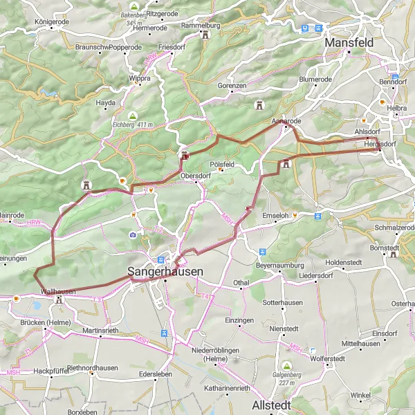
Embrace the challenge of gravel cycling on this 56-kilometer route with an ascent of 825 meters. This route is recommended for experienced gravel cyclists due to its difficulty level of 5. Enjoy the epicness of Riestedt, Sangerhausen, Großer Buchberg, Morungen, Pufferberg, and Ahlsdorf as you conquer the gravel paths and tackle the demanding hills.
gravel
56 km
825 m
Savage
Route profile
Highlights on the route
0 km
0 km
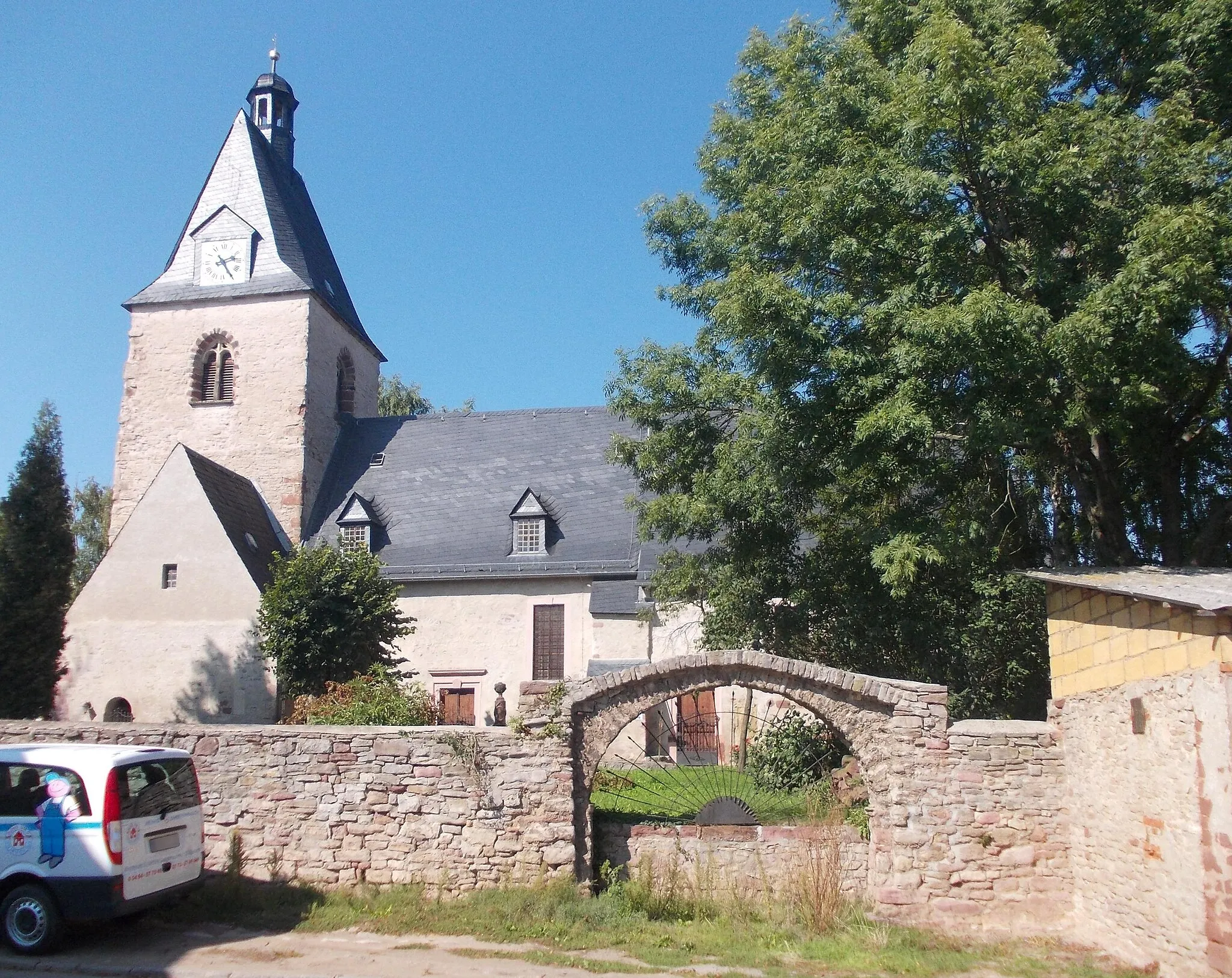
Start: Hergisdorf Village centerHergisdorf: Scenic Cycling in Rural Germany
Hergisforf in Sachsen-Anhalt, Germany provides a decent cycling experience for road and gravel cyclists. While it may not offer any famous cycling spots or well-known climbs directly within the locality, the surrounding region does provide opportunities for enjoyable rides. The roads are generally well-maintained and there are various routes available for both beginners and more advanced riders. Additionally, Hergisdorf has a charming countryside atmosphere, perfect for cycling enthusiasts looking to explore the scenic beauty of rural Germany.12 km
12 km
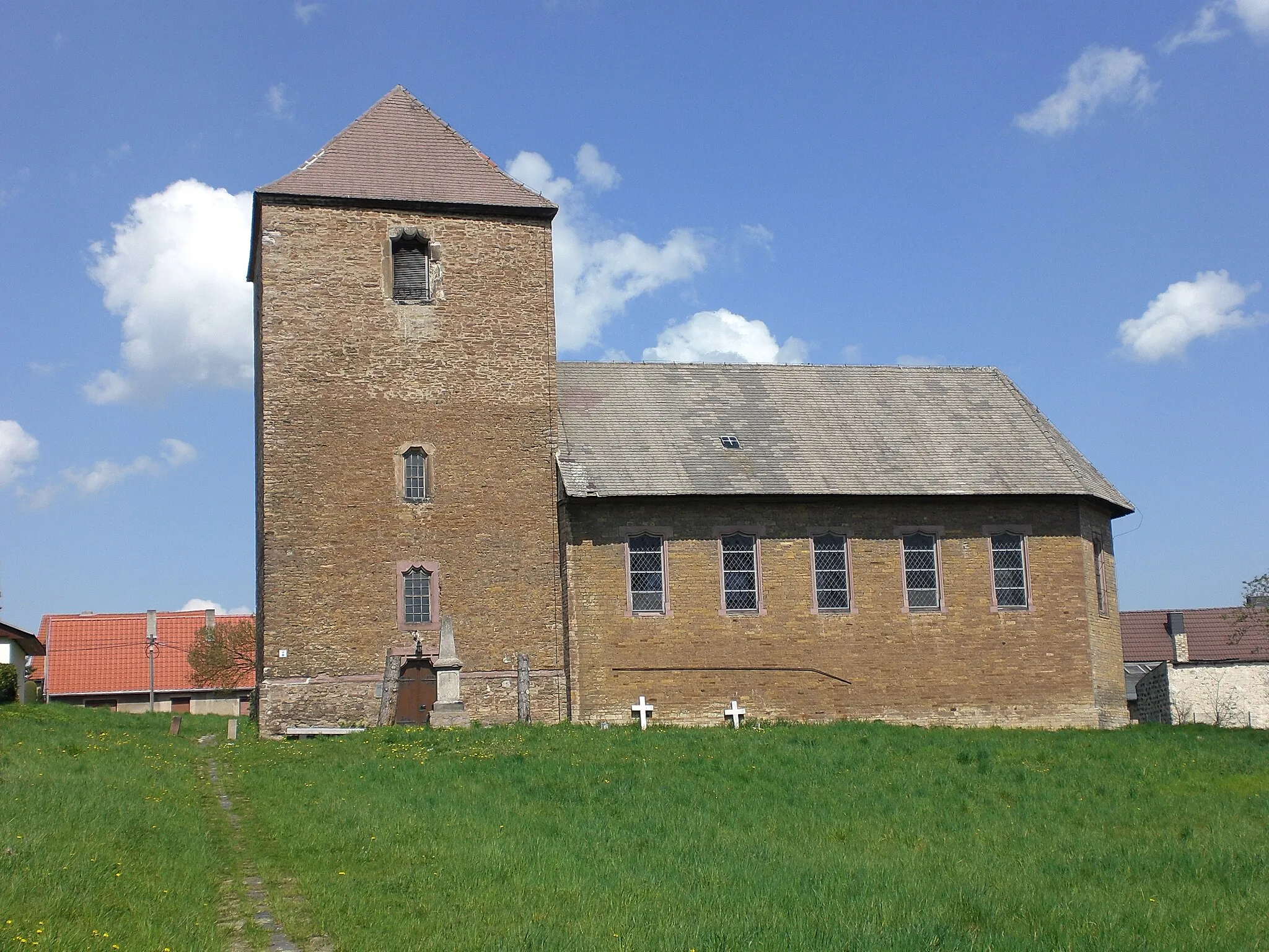
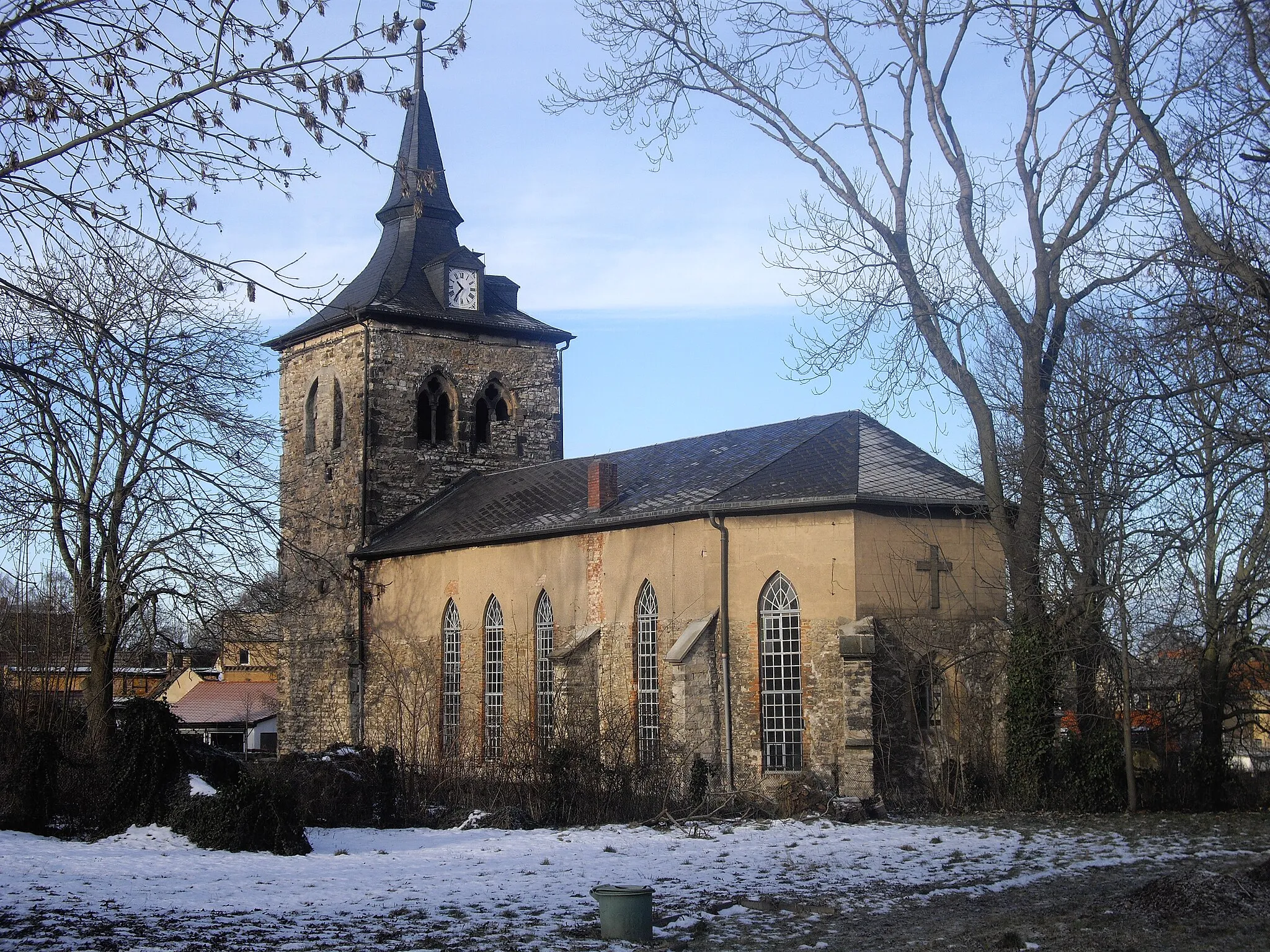
RiestedtSub-urbRiestedt is a tranquil village surrounded by beautiful fields and meadows.
18 km
18 km
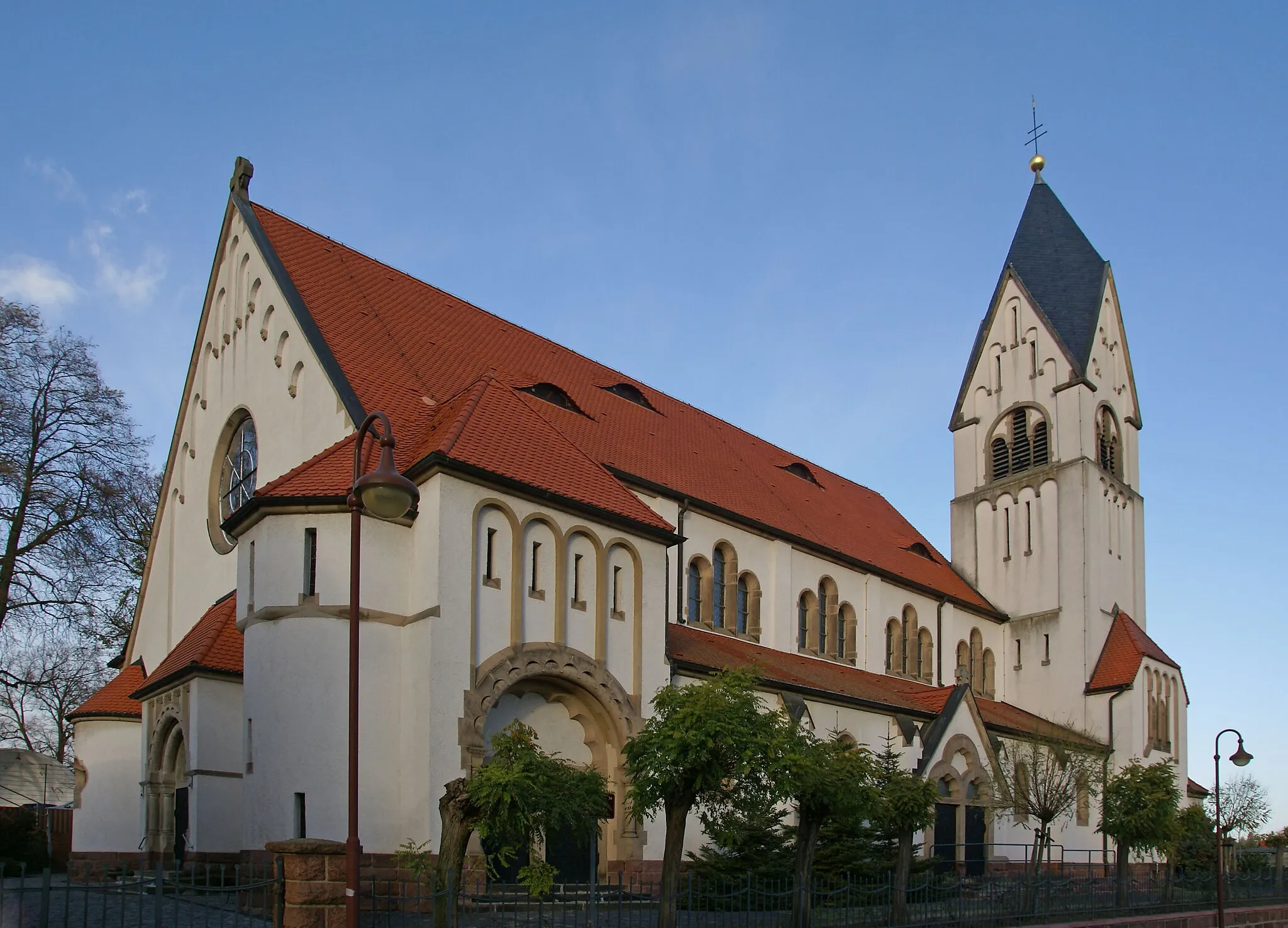
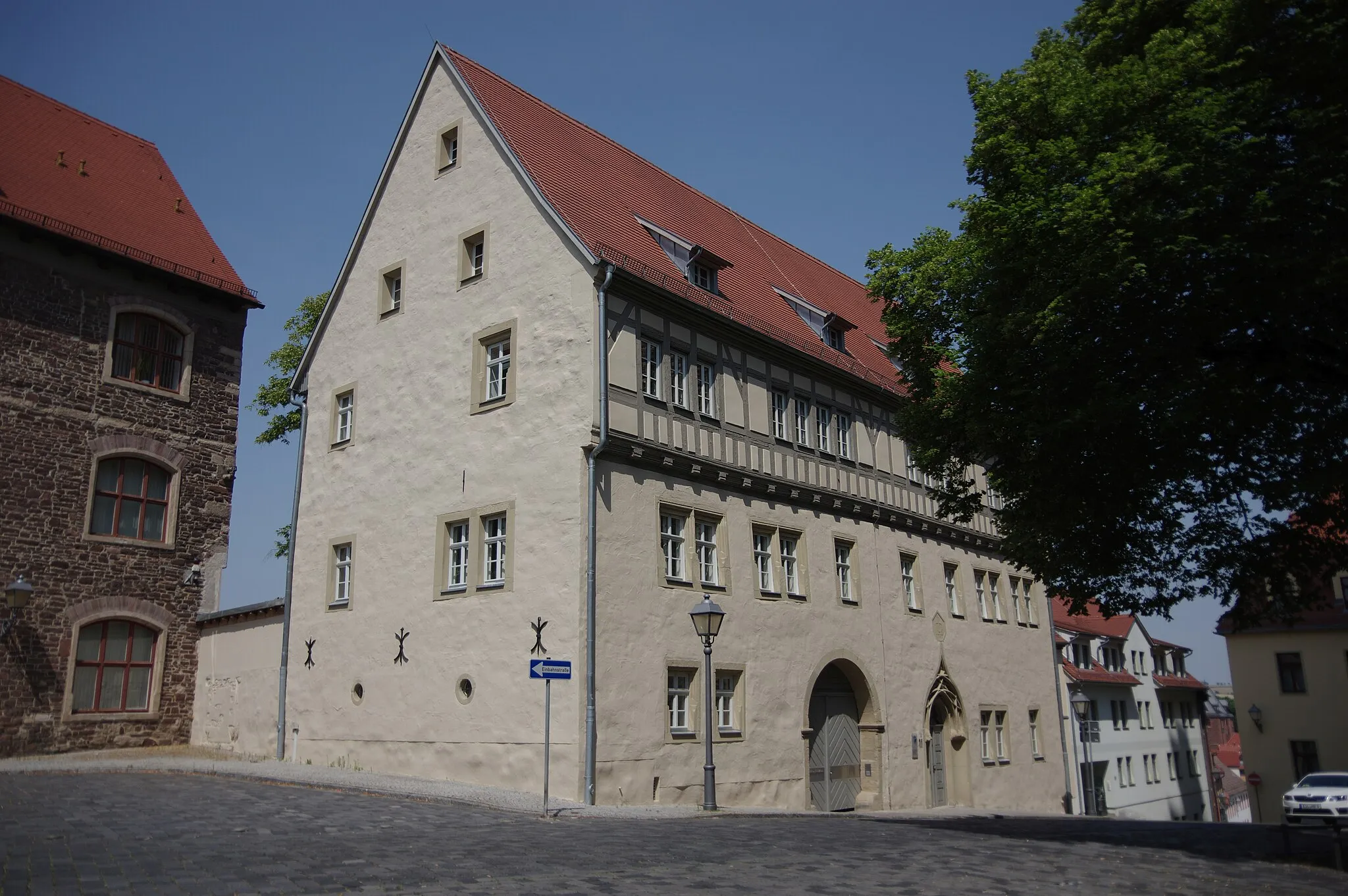
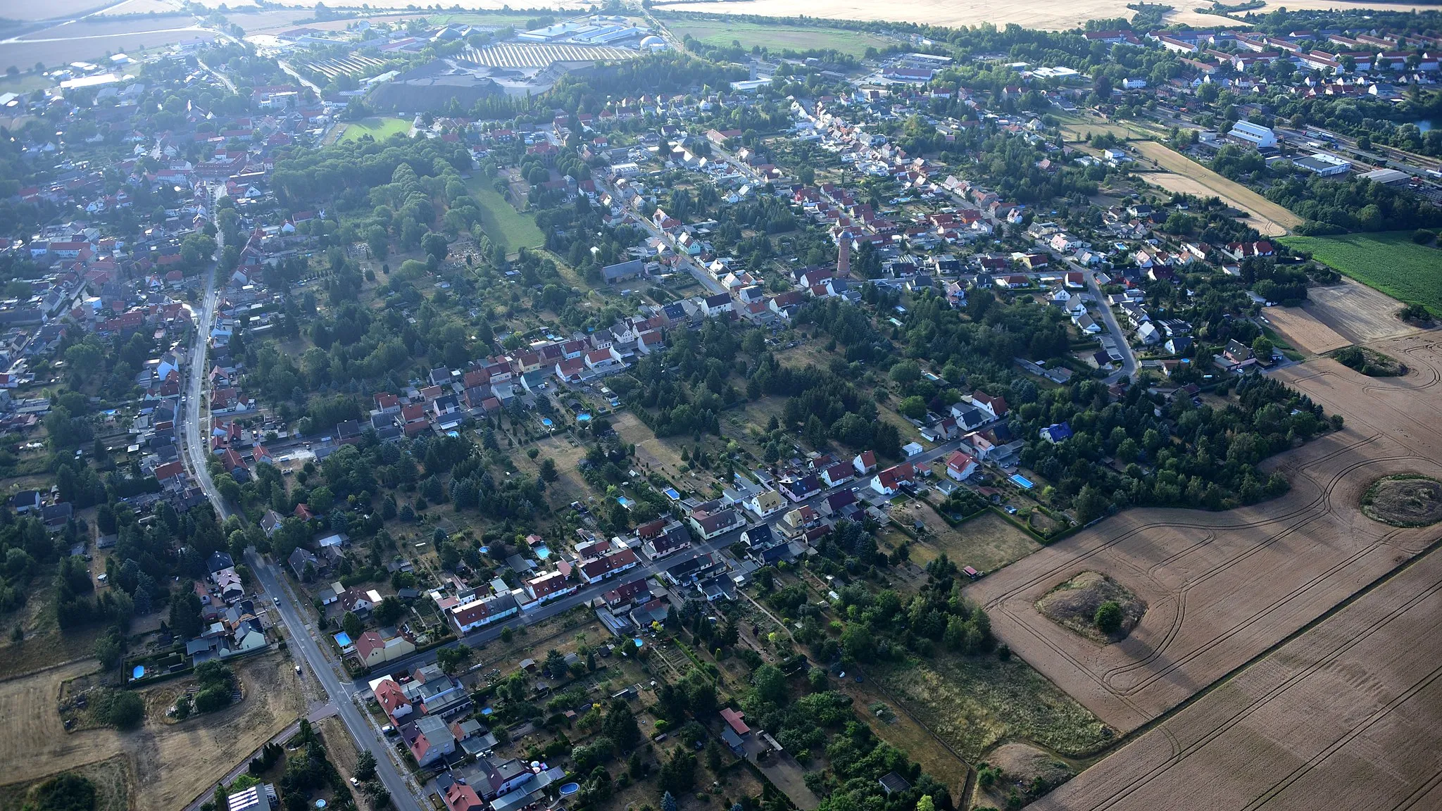
SangerhausenTownSangerhausen is a charming town known for its well-preserved half-timbered houses and lively town center.
27 km
27 km
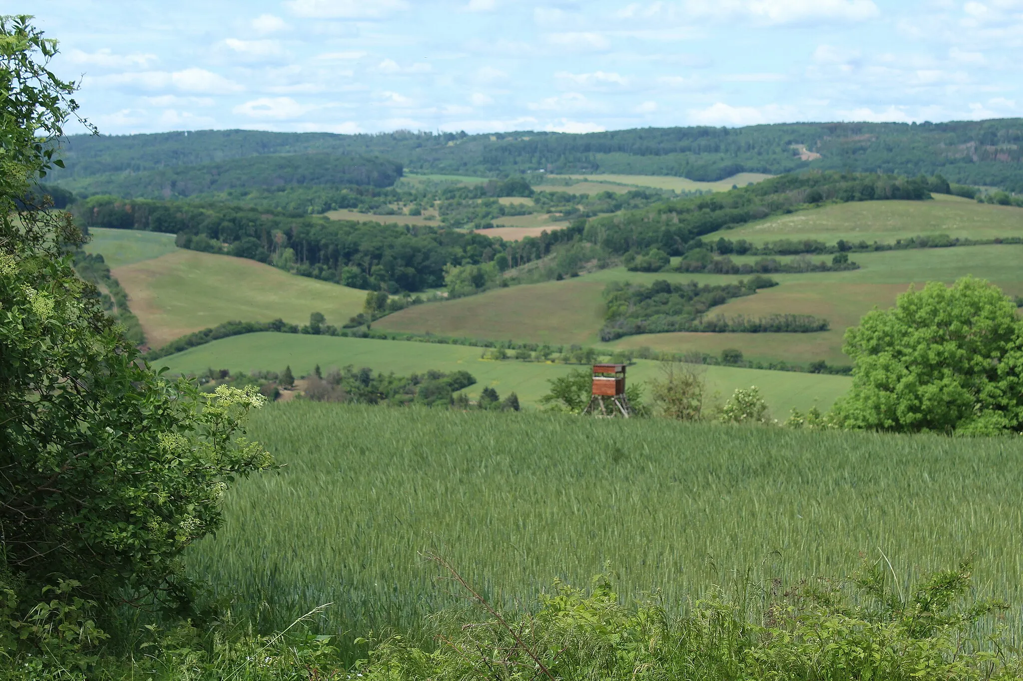
Großer Buchberg320 mPeakGroßer Buchberg is a nature reserve with lush forests and stunning views of the Harz region.
34 km
34 km
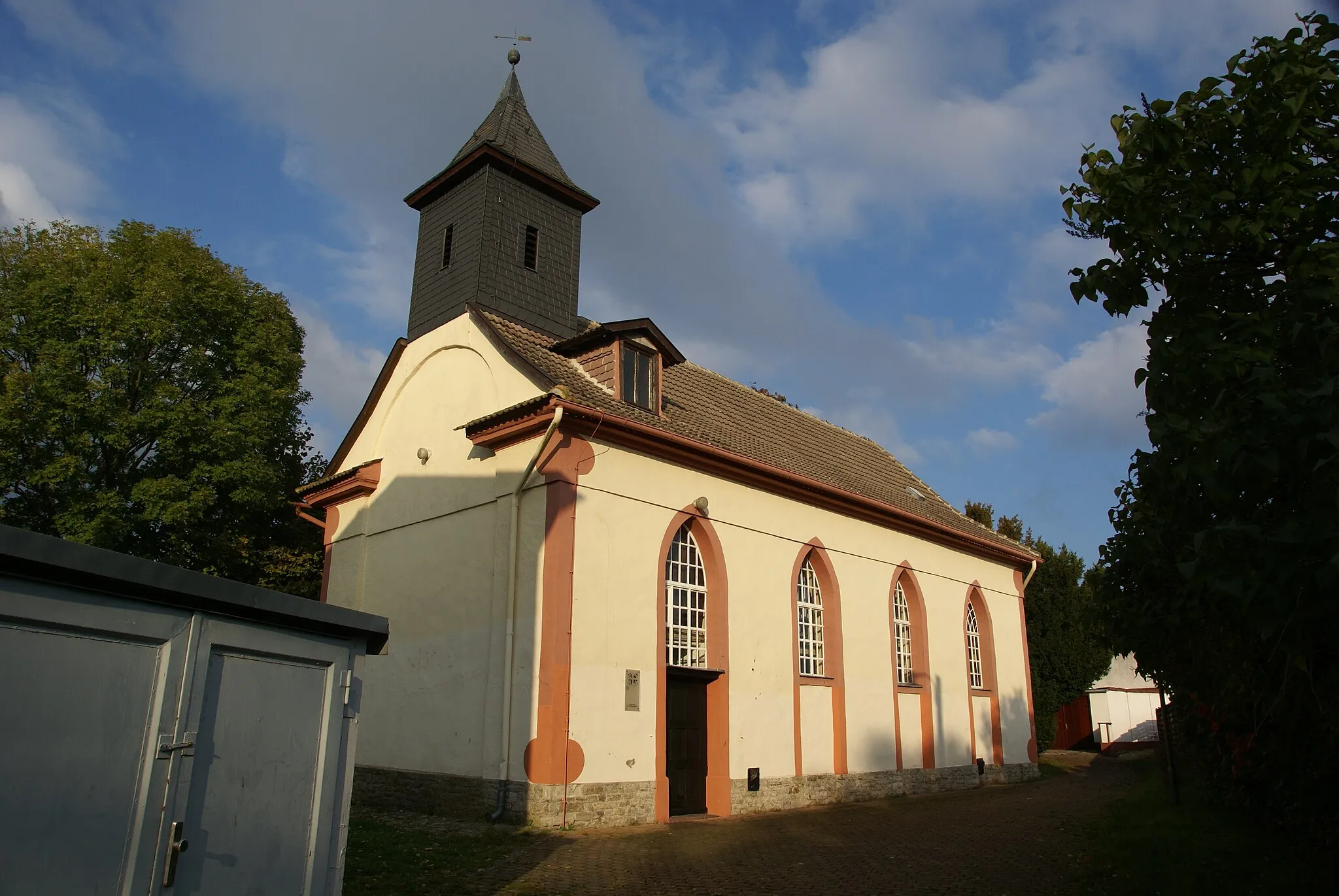
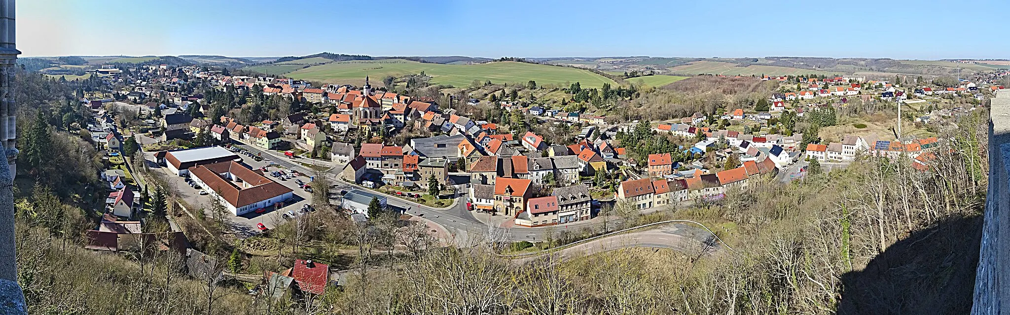
MorungenSub-urbMorungen is famous for its medieval castle ruins and offers beautiful hiking trails through picturesque landscapes.
46 km
46 km
Pufferberg373 mPeakPufferberg is a striking volcanic rock formation that stands out in the flat surroundings.
55 km
55 km
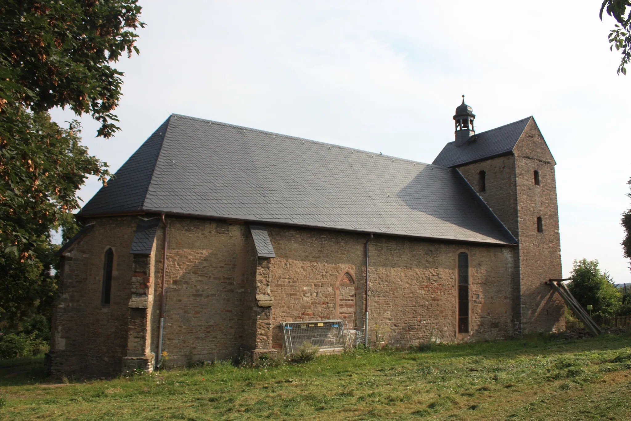
AhlsdorfVillageAhlsdorf is a charming village with scenic beauty, making it a perfect resting point for cyclists.
56 km
56 km
Finish: Hergisdorf Village centerHergisdorf: Scenic Cycling in Rural Germany
Cycling routes from Hergisdorf:
Cultural and HistoricalHighlights in Sachsen-Anhalt The Gravel Adventure through Nature Exploring the Hidden Gems of Sachsen-Anhalt Conquering the Gravel Paths and Hills The Ultimate Sachsen-Anhalt Cycling Challenge Weinberg Loop Eisleben Gravel Escape Harz Hilltop Adventure Hergisdorf Loop Cycling Route to Blankenheim and Helbra Wine Route Gravel Adventure
Cycling routes nearby: