Wheat Fields and Historic Towns
A road cycling route starting from Kemberg
Discover the charming towns around Kemberg on this road cycling route through endless wheat fields.
Map

Get ready to explore the picturesque towns and stunning fields of Sachsen-Anhalt on this cycling tour starting from Kemberg. With a total distance of 66 km and an ascent of 283 meters, this route is suitable for experienced amateur cyclists. The highlights along the route include Ateritz, a small village known for its traditional architecture, Bad Düben with its beautiful castle, and Heidelberg, where you can admire the impressive Heidelberg Hill. Don't miss Pouch, a former military shooting range turned recreational area, and Gröbern, home to a massive open-cast mine. The route ends in Kemberg, where you can explore its historic landmarks.
road
66 km
283 m
Tough
Route profile
Highlights on the route
0 km
0 km
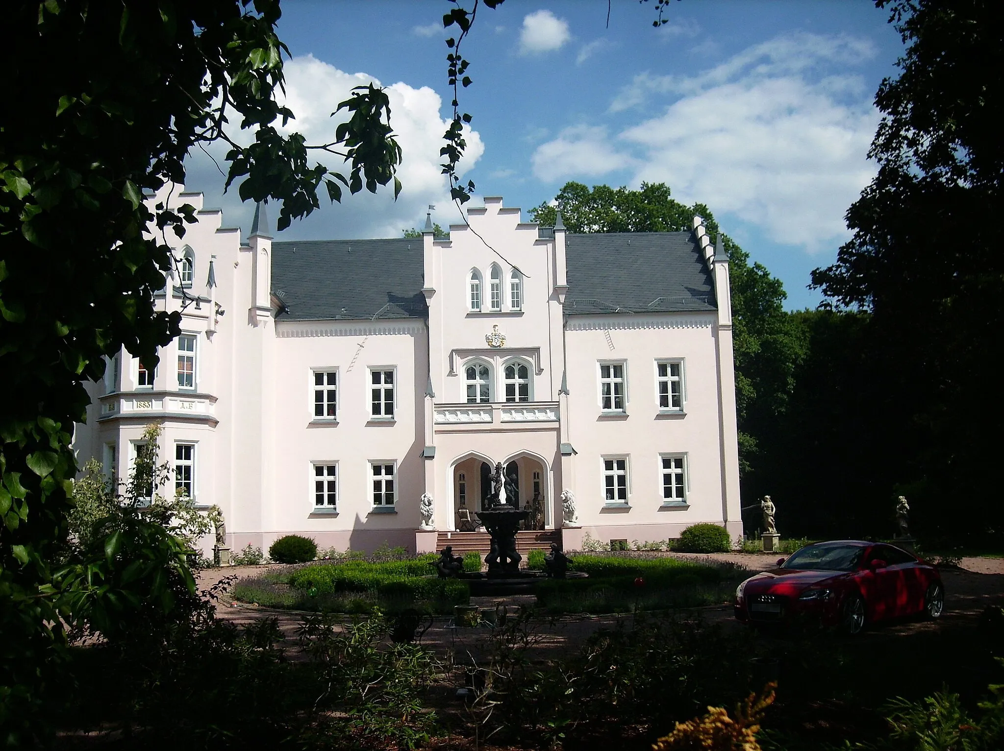
Start: Kemberg City centerKemberg: Kemberg - Enjoy leisurely cycling amidst picturesque landscapes.
The town of Kemberg in Sachsen-Anhalt, Germany offers a moderate cycling experience suitable for road and gravel cyclists. The town and its surrounding region have several countryside routes and quiet roads that are ideal for leisure cycling. While there are no famous cycling spots or well-known climbs nearby, the picturesque landscapes and quaint villages make for pleasant rides. Overall, Kemberg ranks at a 2 in terms of its cycling appeal.4 km
4 km
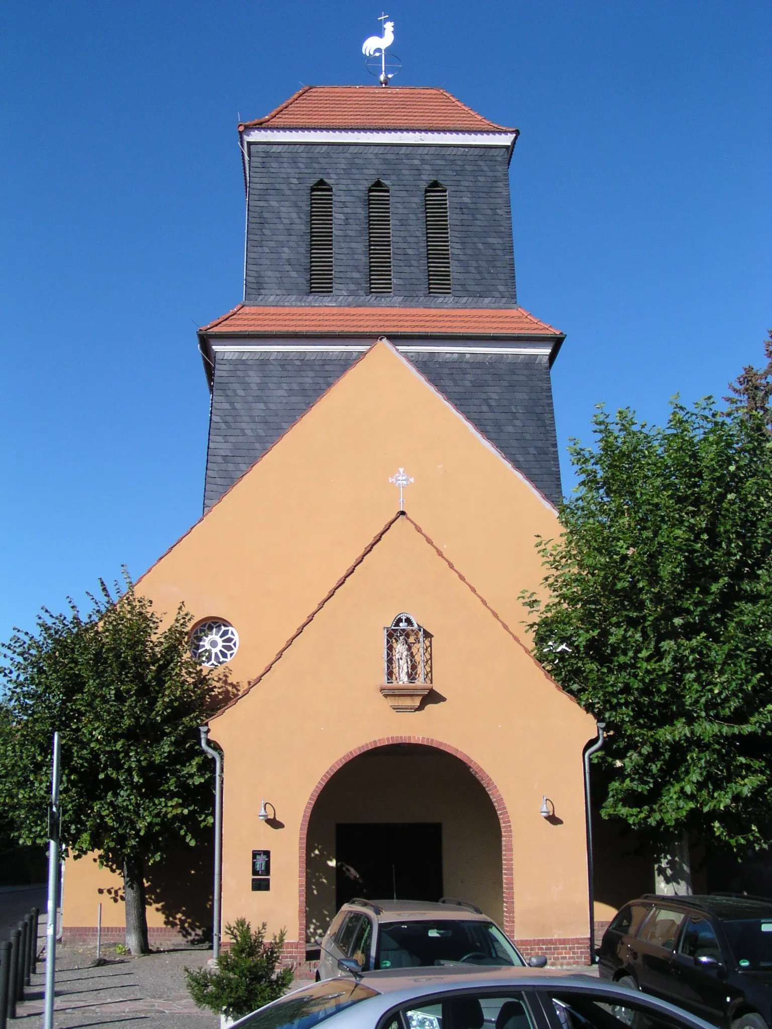
AteritzVillageLocated in Ateritz, a small village known for its well-preserved architecture.
21 km
21 km
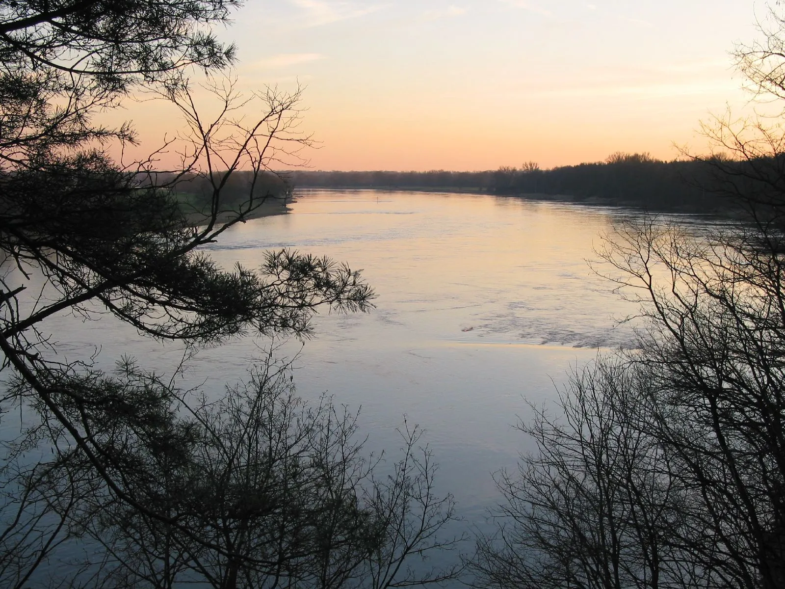
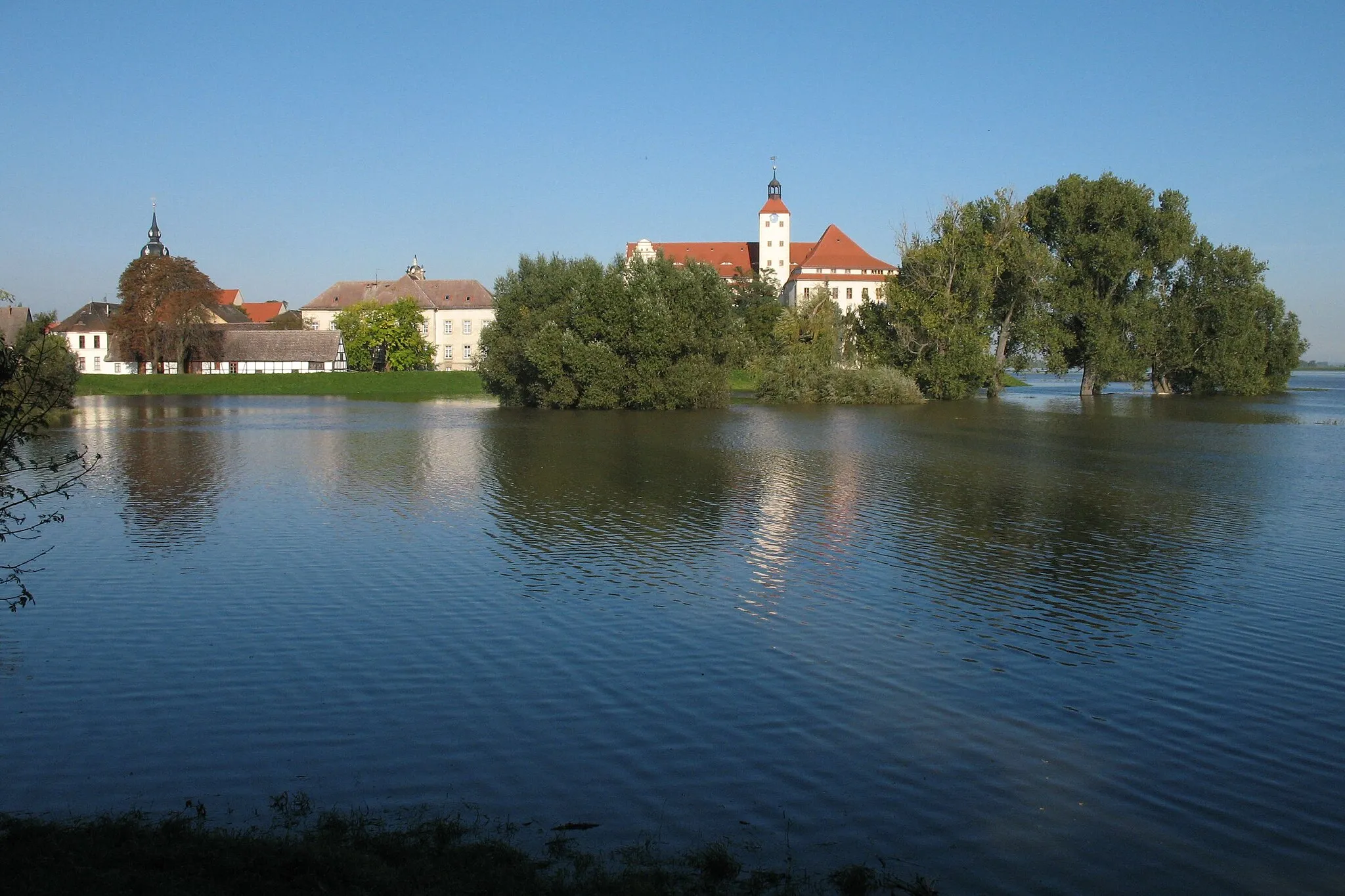
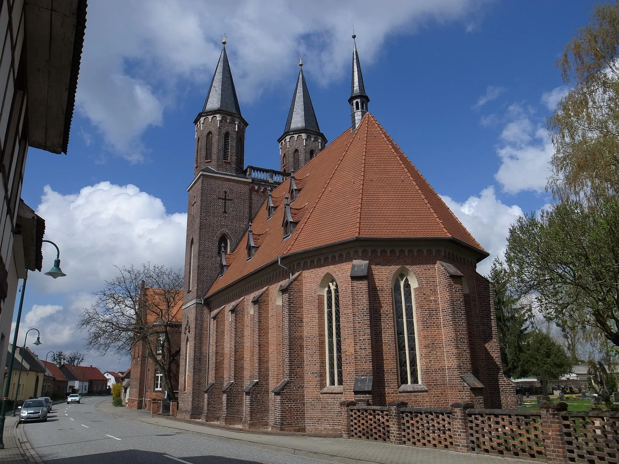
Bad DübenTownVisit the beautiful castle in Bad Düben, a medieval town with a rich history.
27 km
27 km
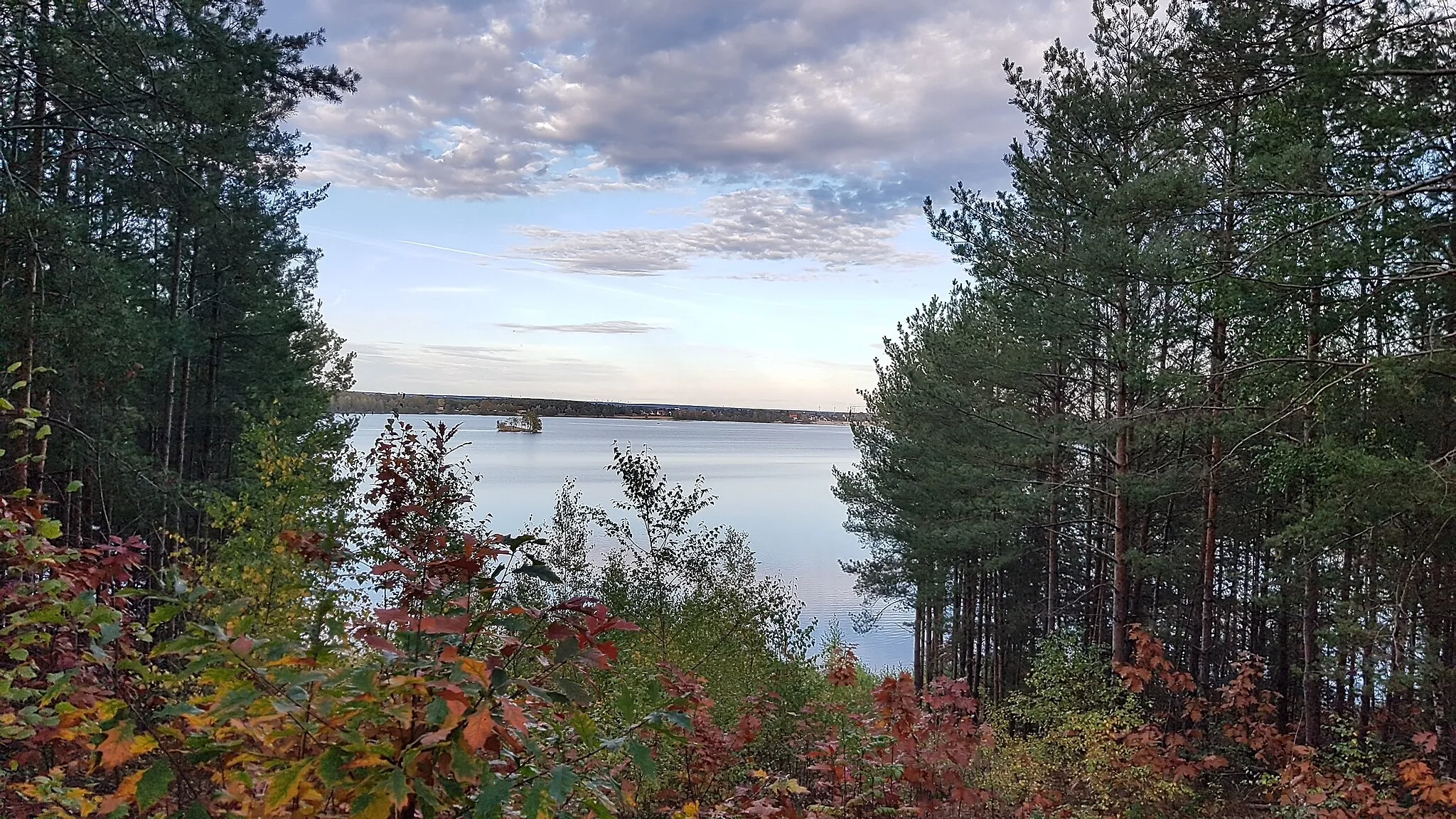
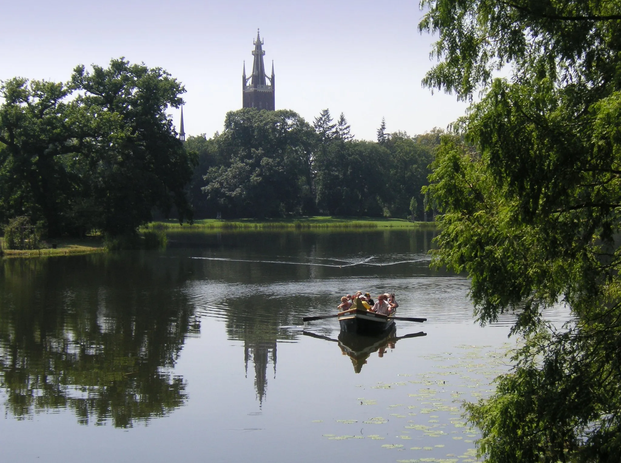
Heidelberg90 mPeakTake in the panoramic views from Heidelberg Hill.
37 km
37 km
PouchVillageExplore Pouch, a former military training area turned recreational destination.
47 km
47 km
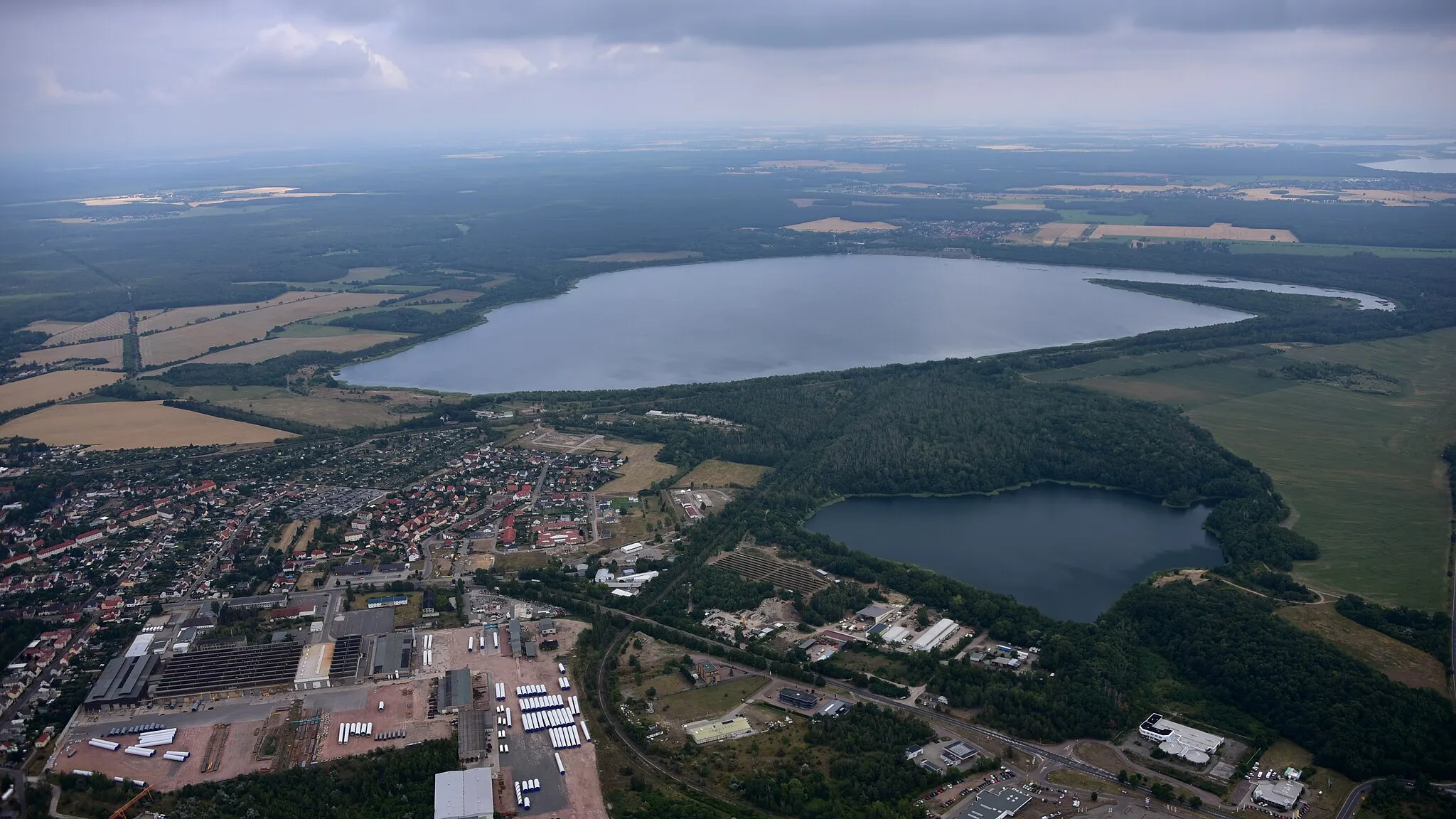
GröbernSub-urbVisit the impressive open-cast mine in Gröbern.
64 km
64 km
Reudener GrubeViewpointDiscover the unique Reudener Grube, a former coal mining site.
66 km
66 km
KembergTownEnd your journey by exploring the historic landmarks of Kemberg.
66 km
66 km
Finish: Kemberg City centerKemberg: Kemberg - Enjoy leisurely cycling amidst picturesque landscapes.
Cycling routes from Kemberg:
Scenic Road Cycling Route near Kemberg Ateritz and Schlaitz Gravel Cycling Route Wittenberg Gravel Adventure Nature and History Gravel Tour Wheat Fields and Historic Towns Zinna Hills Challenge Cultural and Natural Delights Road Cycling Route Kemberg's Hidden Gems Gravel Cycling Route Radis Loop Wellaune Road Adventure
Cycling routes nearby: